136 products
-
Map Showing the Port Royal Railroad and Its Connections in 1870
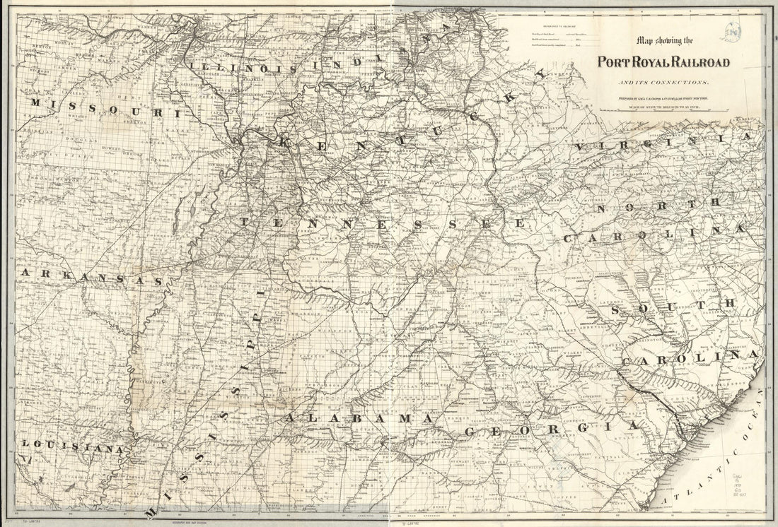 Map Showing the Port Royal Railroad and Its Connections in 1870
- Regular price
-
From
$41.95 - Regular price
-
$66.99 - Sale price
-
From
$41.95
-
Phelps & Watson Historical and Military Map of the Border & Southern States in 1866
 Phelps & Watson Historical and Military Map of the Border & Southern States in 1866
- Regular price
-
From
$32.95 - Regular price
-
$51.99 - Sale price
-
From
$32.95
-
Map Showing the Proposed Tennessee, Alabama, and Georgia Railroad Connecting and Extending the Chattanooga Southern Railway, Marietta and North Georgia Railway, Knoxville, Cumberland Gap and Louisville Railroad, and Morristown and Cumberland Gap Railr...
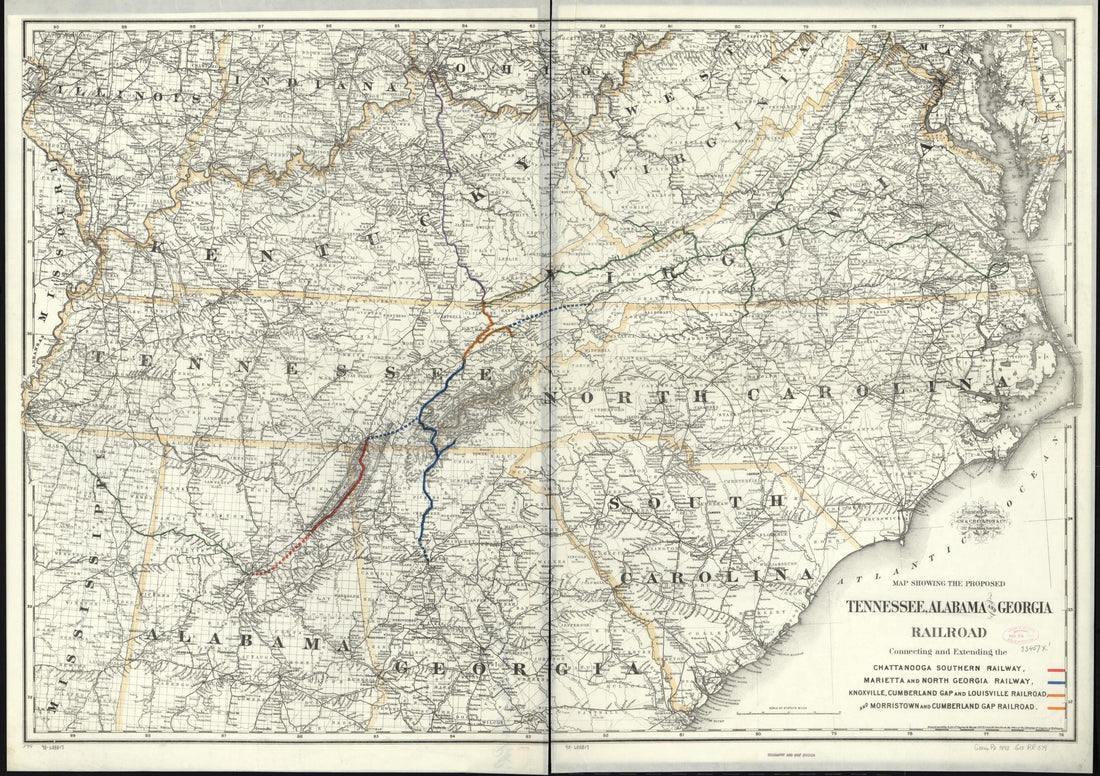 Map Showing the Proposed Tennessee, Alabama, and Georgia Railroad Connecting and Extending the Chattanooga Southern Railway, Marietta and North Georgia Railway, Knoxville, Cumberland Gap and Louisville Railroad, and Morristown and Cumberland Gap Railr...
- Regular price
-
From
$41.95 - Regular price
-
$66.99 - Sale price
-
From
$41.95
-
Map of the Southern States of North America With the Forts, Harbours & Military Positions in 1862
 Map of the Southern States of North America With the Forts, Harbours & Military Positions in 1862
- Regular price
-
From
$41.95 - Regular price
-
$66.99 - Sale price
-
From
$41.95
-
Map Showing the Norfolk and Cincinnati Railroad, and Its Connections 1882
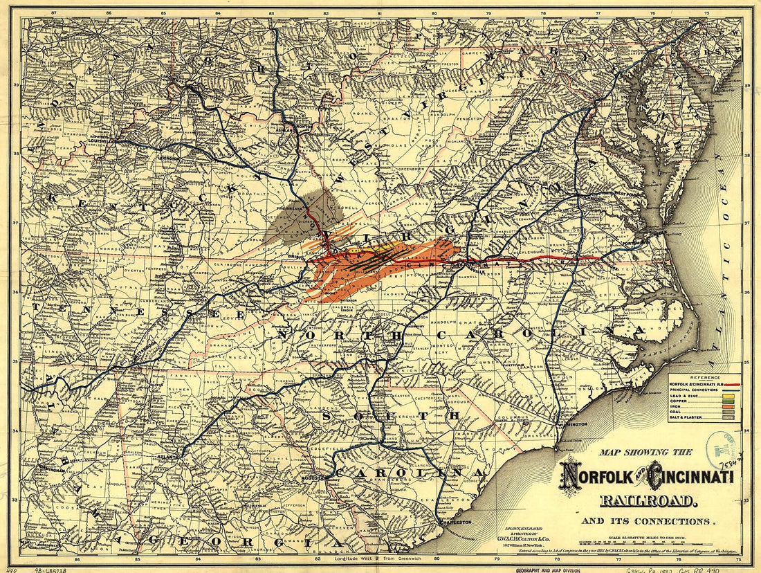 Map Showing the Norfolk and Cincinnati Railroad, and Its Connections 1882
- Regular price
-
From
$32.95 - Regular price
-
$51.99 - Sale price
-
From
$32.95
-
A Chart Exhibiting the Lighthouses and Lightvessels On the Coasts of the United States of America : from Virginia Exclusive to Texas Inclusive (Chart Exhibiting the Lighthouses and Lightvessels from Virginia Exclusive to Texas Inclusive) 1848
 A Chart Exhibiting the Lighthouses and Lightvessels On the Coasts of the United States of America : from Virginia Exclusive to Texas Inclusive (Chart Exhibiting the Lighthouses and Lightvessels from Virginia Exclusive to Texas Inclusive) 1848
- Regular price
-
From
$41.95 - Regular price
-
$66.99 - Sale price
-
From
$41.95
-
Preliminary Chart of the Northeastern Part of the Gulf of Mexico, Including the Strait of Florida. Autographic Transfer in 1861
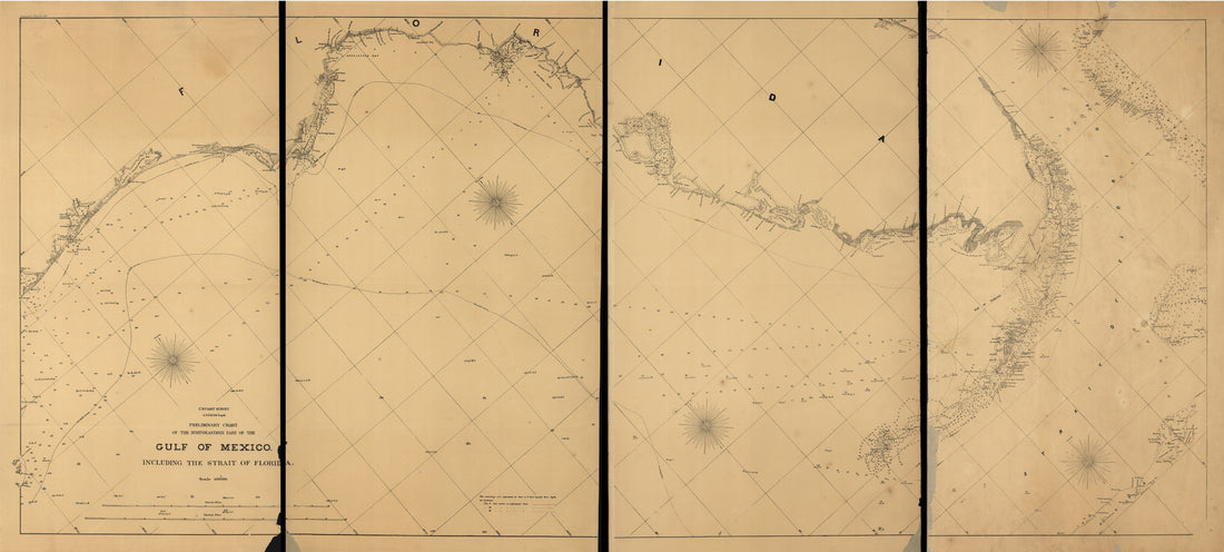 Preliminary Chart of the Northeastern Part of the Gulf of Mexico, Including the Strait of Florida. Autographic Transfer in 1861
- Regular price
-
From
$41.95 - Regular price
-
$66.99 - Sale price
-
From
$41.95
-
Carte De La Louisiane Et De La Floride 1783
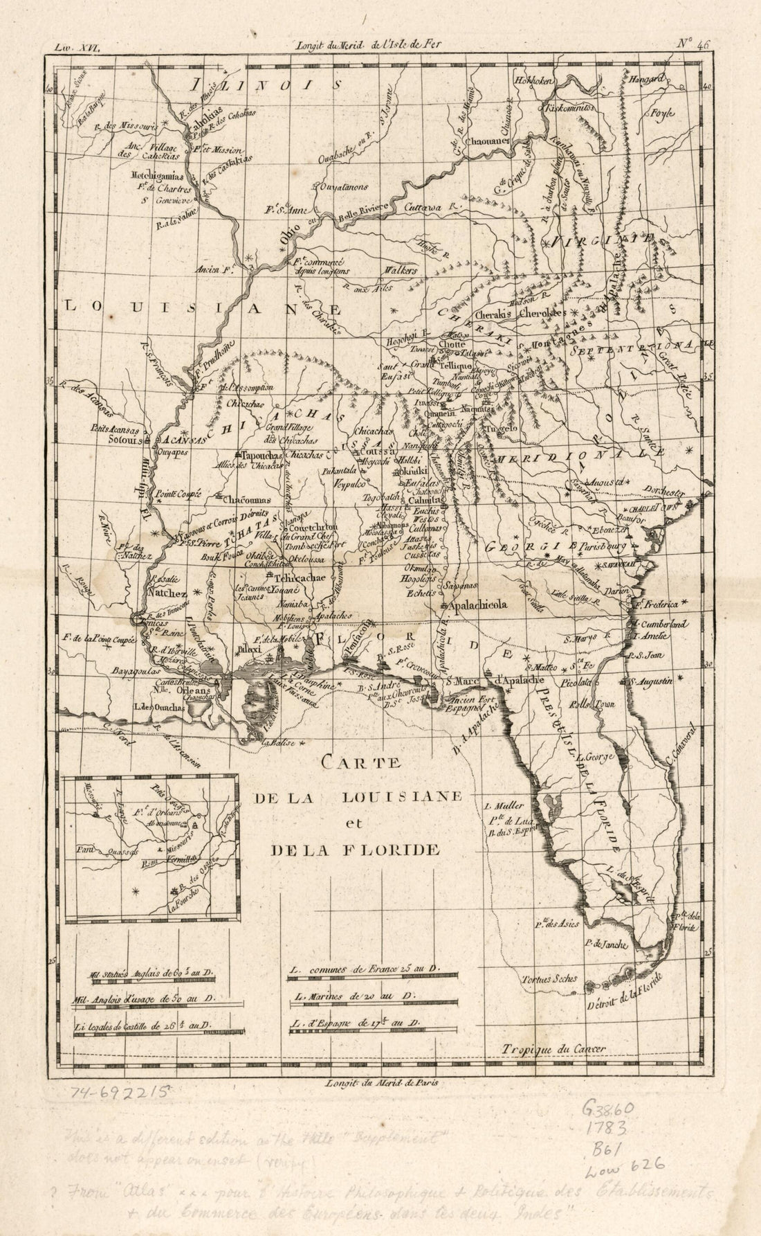 Carte De La Louisiane Et De La Floride 1783
- Regular price
-
From
$26.95 - Regular price
-
$41.95 - Sale price
-
From
$26.95
-
J. H. Colton's Map of the Southern States. Maryland, Delaware, Virginia, Kentucky, Tennessee, Missouri, North Carolina, South Carolina, Georgia, Alabama, Mississippi, Arkansas, Louisiana and Texas. Showing Also Part of Adjoining States & Territories L...
 J. H. Colton's Map of the Southern States. Maryland, Delaware, Virginia, Kentucky, Tennessee, Missouri, North Carolina, South Carolina, Georgia, Alabama, Mississippi, Arkansas, Louisiana and Texas. Showing Also Part of Adjoining States & Territories L...
- Regular price
-
From
$32.95 - Regular price
-
$51.99 - Sale price
-
From
$32.95
-
Carte De La Louisiane Par Le Sr. D'Anville 1752
 Carte De La Louisiane Par Le Sr. D'Anville 1752
- Regular price
-
From
$41.95 - Regular price
-
$66.99 - Sale price
-
From
$41.95
-
One Hundred & Fifty Miles Around Richmond. 10th Ed 1860
 One Hundred & Fifty Miles Around Richmond. 10th Ed 1860
- Regular price
-
From
$19.95 - Regular price
-
$29.95 - Sale price
-
From
$19.95
-
Boones Map of the Black Diamond System of Railways, J. D. McKisson Del., Perysville Ohio in 1896
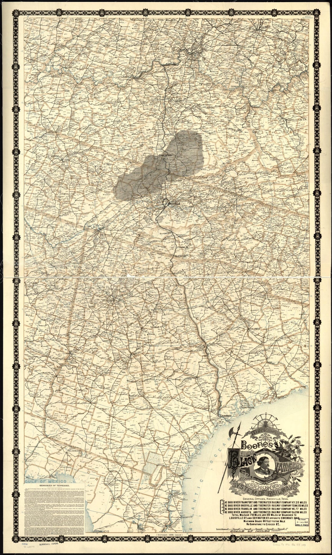 Boones Map of the Black Diamond System of Railways, J. D. McKisson Del., Perysville Ohio in 1896
- Regular price
-
From
$41.95 - Regular price
-
$66.99 - Sale price
-
From
$41.95


