155 products
-
 A Chart Exhibiting the Lighthouses and Lightvessels On the Coasts of the United States of America : from Virginia Exclusive to Texas Inclusive (Chart Exhibiting the Lighthouses and Lightvessels from Virginia Exclusive to Texas Inclusive) 1848A Chart Exhibiting the Lighthouses and Lightvessels On the Coasts of the United States of America : from Virginia Exclusive to Texas Inclusive (Chart Exhibiting the Lighthouses and Lightvessels from Virginia Exclusive to Texas Inclusive) 1848
- Regular price
-
$46.95 $258.95 - Regular price
-
$41.95 - Sale price
-
$46.95 $258.95
-
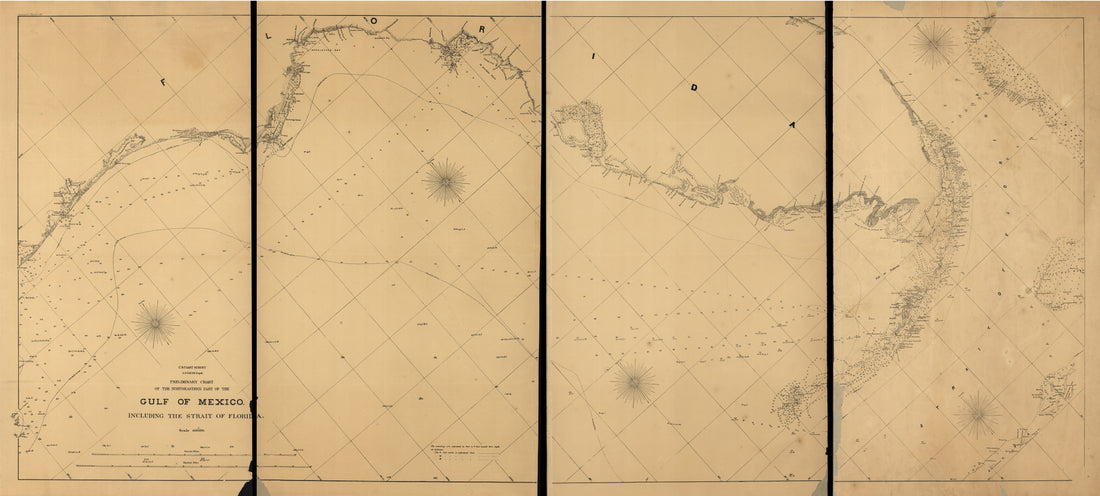 Preliminary Chart of the Northeastern Part of the Gulf of Mexico, Including the Strait of Florida. Autographic Transfer in 1861Preliminary Chart of the Northeastern Part of the Gulf of Mexico, Including the Strait of Florida. Autographic Transfer in 1861
- Regular price
-
$46.95 $205.95 - Regular price
-
$41.95 - Sale price
-
$46.95 $205.95
-
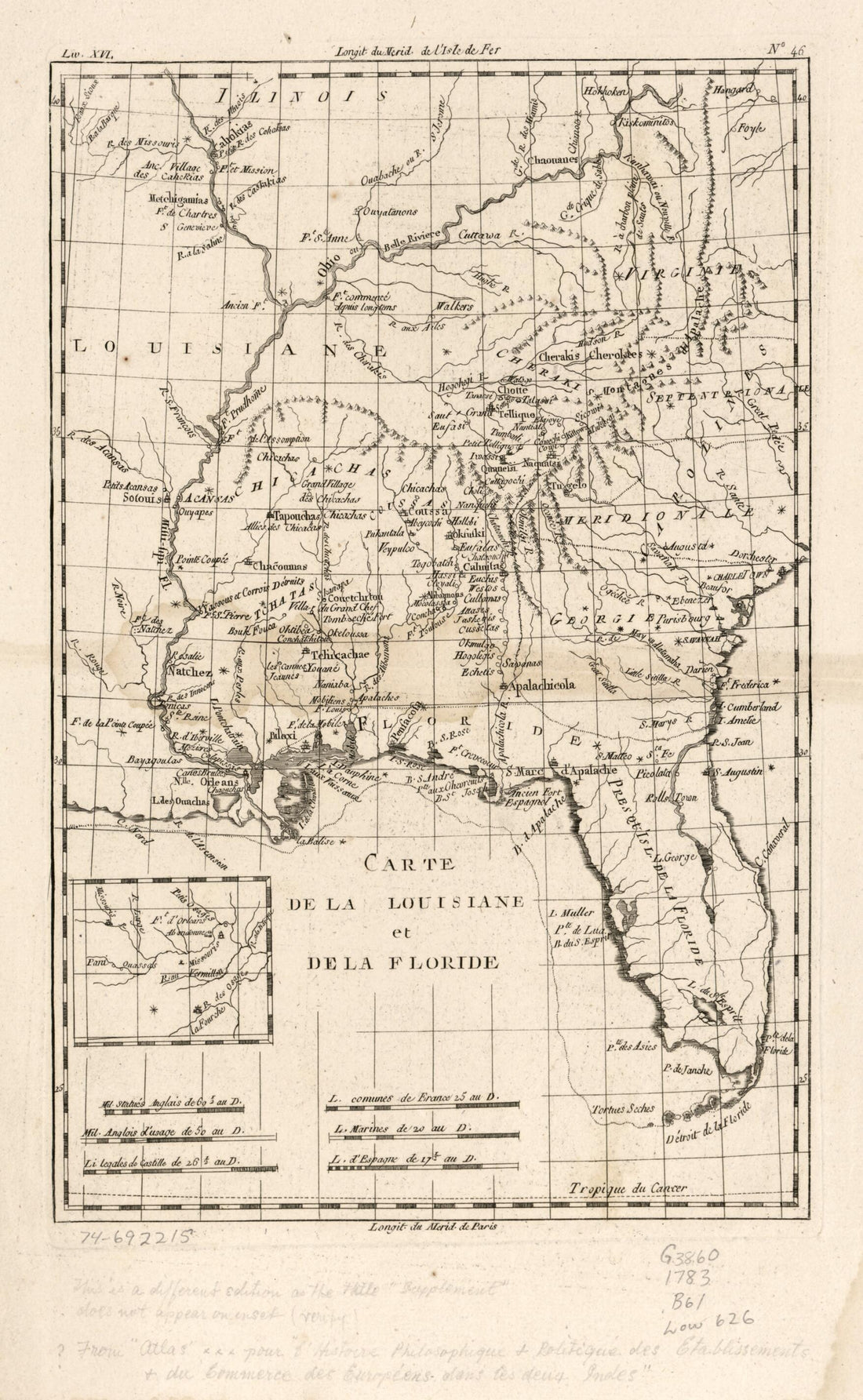 Carte De La Louisiane Et De La Floride 1783Carte De La Louisiane Et De La Floride 1783
- Regular price
-
$39.95 $99.95 - Regular price
-
$34.95 - Sale price
-
$39.95 $99.95
-
 J. H. Colton's Map of the Southern States. Maryland, Delaware, Virginia, Kentucky, Tennessee, Missouri, North Carolina, South Carolina, Georgia, Alabama, Mississippi, Arkansas, Louisiana and Texas. Showing Also Part of Adjoining States & Territories L...J. H. Colton's Map of the Southern States. Maryland, Delaware, Virginia, Kentucky, Tennessee, Missouri, North Carolina, South Carolina, Georgia, Alabama, Mississippi, Arkansas, Louisiana and Texas. Showing Also Part of Adjoining States & Territories L...
- Regular price
-
$43.95 $203.95 - Regular price
-
$38.95 - Sale price
-
$43.95 $203.95
-
 Carte De La Louisiane Par Le Sr. D'Anville 1752Carte De La Louisiane Par Le Sr. D'Anville 1752
- Regular price
-
$46.95 $180.95 - Regular price
-
$41.95 - Sale price
-
$46.95 $180.95
-
 One Hundred & Fifty Miles Around Richmond. 10th Ed 1860One Hundred & Fifty Miles Around Richmond. 10th Ed 1860
- Regular price
-
$39.95 $99.95 - Regular price
-
$34.95 - Sale price
-
$39.95 $99.95
-
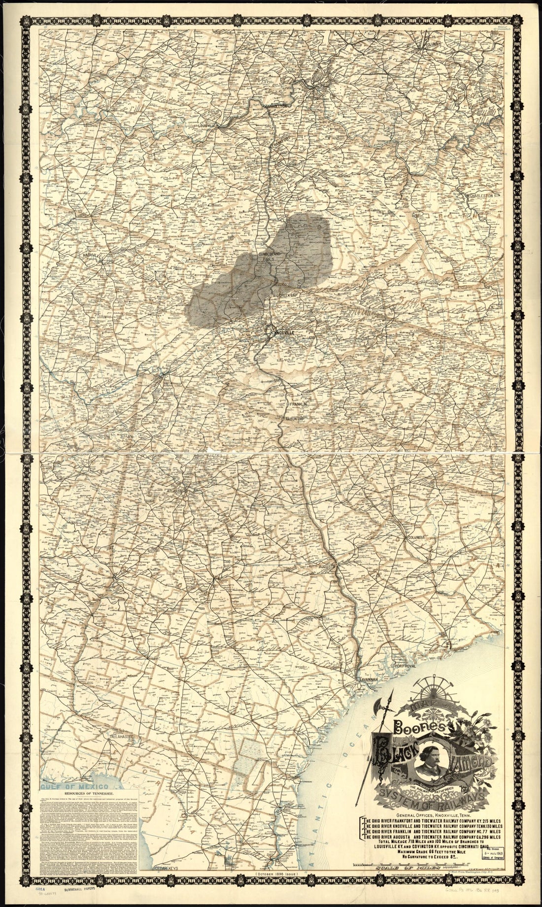 Boones Map of the Black Diamond System of Railways, J. D. McKisson Del., Perysville Ohio in 1896Boones Map of the Black Diamond System of Railways, J. D. McKisson Del., Perysville Ohio in 1896
- Regular price
-
$46.95 $141.95 - Regular price
-
$41.95 - Sale price
-
$46.95 $141.95
-
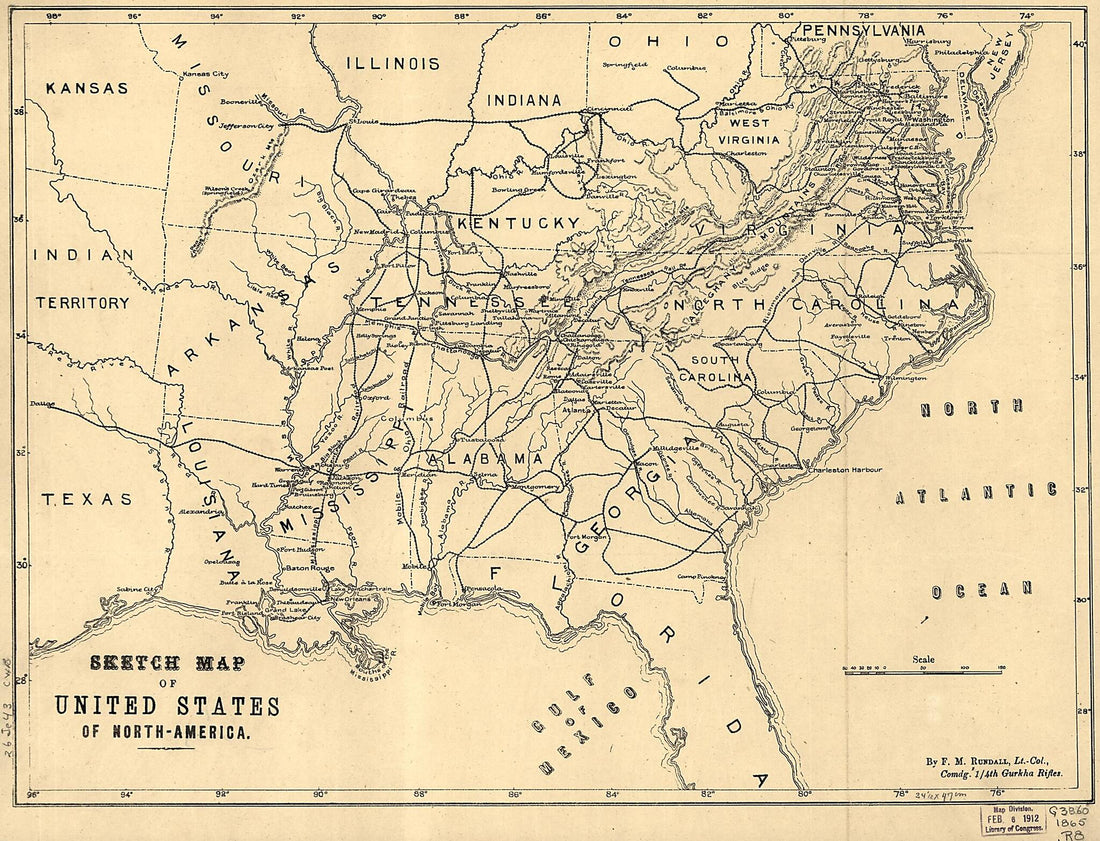 America. 1861-65 1901America. 1861-65 1901
- Regular price
-
$39.95 $88.95 - Regular price
-
$34.95 - Sale price
-
$39.95 $88.95
-
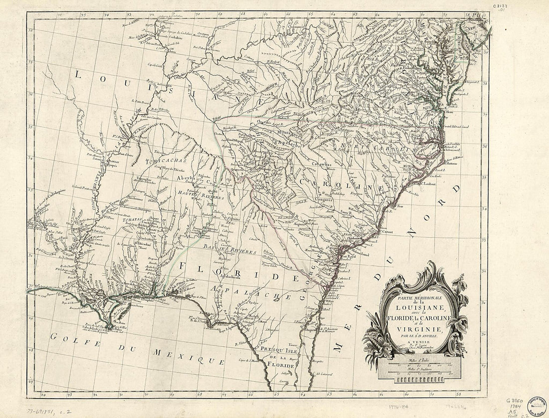 Partie Méridionale De La Louisiane, Avec La Floride, La Caroline Et La Virginie 1784Partie Méridionale De La Louisiane, Avec La Floride, La Caroline Et La Virginie 1784
- Regular price
-
$43.95 $132.95 - Regular price
-
$38.95 - Sale price
-
$43.95 $132.95
-
 Mapa Del Golfo Y Costa De La Nueva España : Desde El Río De Panuco Hasta El Cabo De Santa Elena ... 1572Mapa Del Golfo Y Costa De La Nueva España : Desde El Río De Panuco Hasta El Cabo De Santa Elena ... 1572
- Regular price
-
$39.95 $88.95 - Regular price
-
$34.95 - Sale price
-
$39.95 $88.95
-
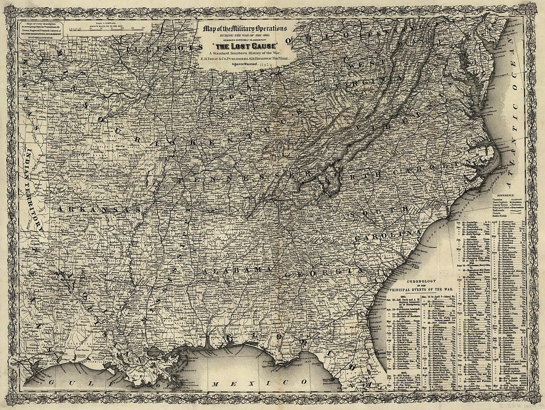 Southern States, United States - Designed Expressly to Accompany The Lost Cause, a Standard Southern History of the War 1867Southern States, United States - Designed Expressly to Accompany The Lost Cause, a Standard Southern History of the War 1867
- Regular price
-
$43.95 $108.95 - Regular price
-
$38.95 - Sale price
-
$43.95 $108.95
-
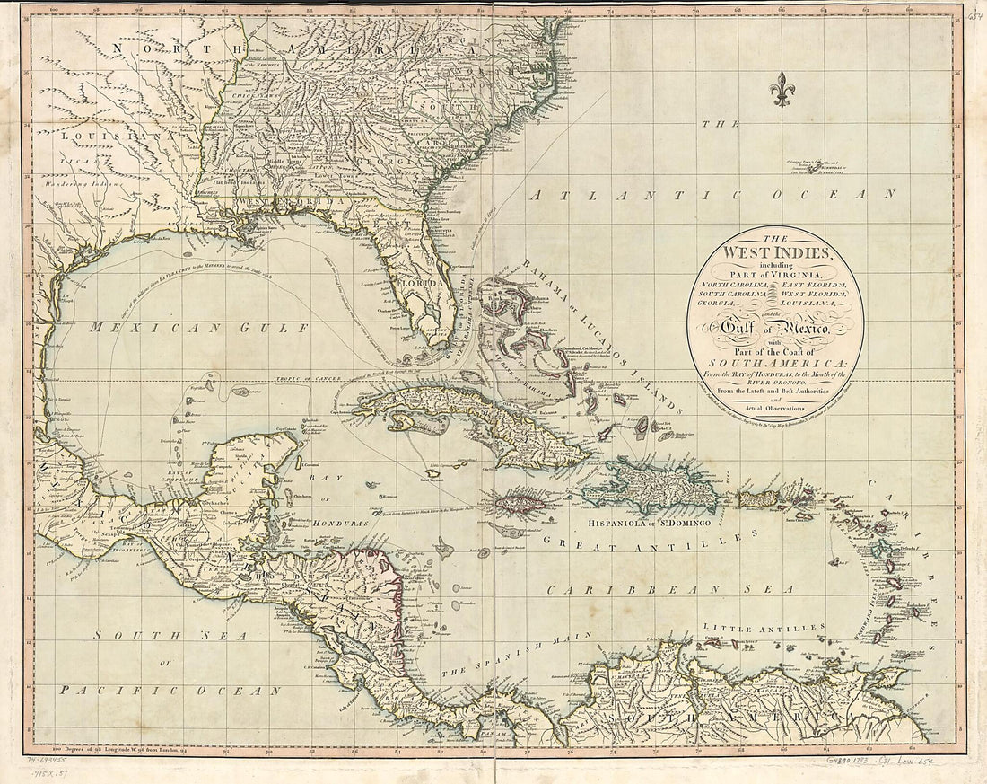 The West Indies, Including Part of Virginia, North Carolina, East Florida, South Carolina, West Florida, Georgia, Louisiana, and the Gulf of Mexico, With Part of the Coast of South America: from the Bay of Honduras, to the Mouth of the River Oronoko 1783The West Indies, Including Part of Virginia, North Carolina, East Florida, South Carolina, West Florida, Georgia, Louisiana, and the Gulf of Mexico, With Part of the Coast of South America: from the Bay of Honduras, to the Mouth of the River Oronoko 1783
- Regular price
-
$43.95 $125.95 - Regular price
-
$38.95 - Sale price
-
$43.95 $125.95


