890 products
-
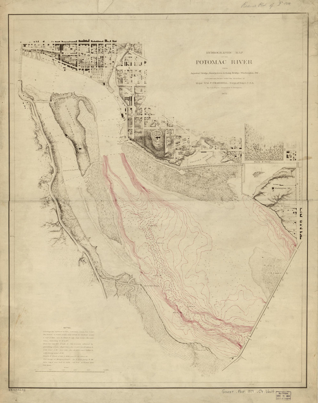 Hydrographic Map of the Potomac River From Aqueduct Bridge, Georgetown, to Long Bridge, Washington, D.C in 1871Hydrographic Map of the Potomac River From Aqueduct Bridge, Georgetown, to Long Bridge, Washington, D.C in 1871
- Regular price
-
$39.95 $83.95 - Regular price
-
$34.95 - Sale price
-
$39.95 $83.95
-
 Map of the District of Columbia and Vicinity Showing the Principal Points of Interest Including the Present Condition of the Defenses of Washington 1892Map of the District of Columbia and Vicinity Showing the Principal Points of Interest Including the Present Condition of the Defenses of Washington 1892
- Regular price
-
$46.95 $202.95 - Regular price
-
$41.95 - Sale price
-
$46.95 $202.95
-
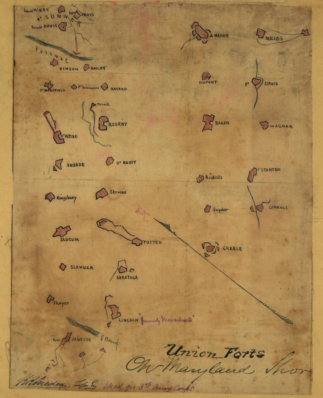 Contours of Union Forts On the North Side of the Potomac, 1862 : in 1861Contours of Union Forts On the North Side of the Potomac, 1862 : in 1861
- Regular price
-
$39.95 $83.95 - Regular price
-
$29.95 - Sale price
-
$39.95 $83.95
-
 Entwistle's Handy Map of Washington and Vicinity : Showing Public Buildings, Churches, Hotels, Places of Amusement, and Lines of Street Rail Roads 1876Entwistle's Handy Map of Washington and Vicinity : Showing Public Buildings, Churches, Hotels, Places of Amusement, and Lines of Street Rail Roads 1876
- Regular price
-
$43.95 $98.95 - Regular price
-
$32.95 - Sale price
-
$43.95 $98.95
-
 Map of Part of Washington D.C. Central Business District In the Vicinity of the Center Market and Tiber Creek 1800Map of Part of Washington D.C. Central Business District In the Vicinity of the Center Market and Tiber Creek 1800
- Regular price
-
$39.95 $93.95 - Regular price
-
$34.95 - Sale price
-
$39.95 $93.95
-
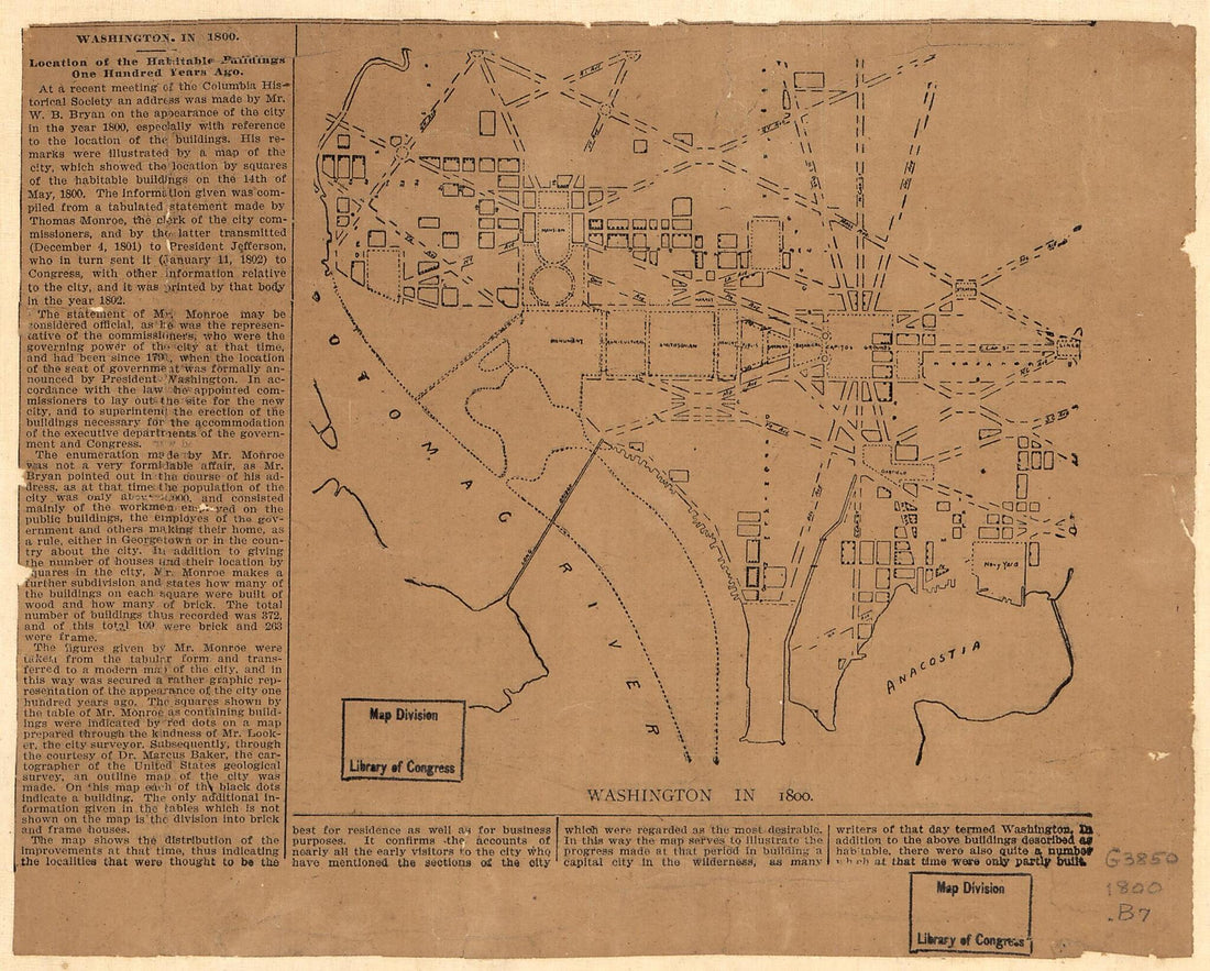 Washington In 1800Washington In 1800
- Regular price
-
$39.95 $83.95 - Regular price
-
$29.95 - Sale price
-
$39.95 $83.95
-
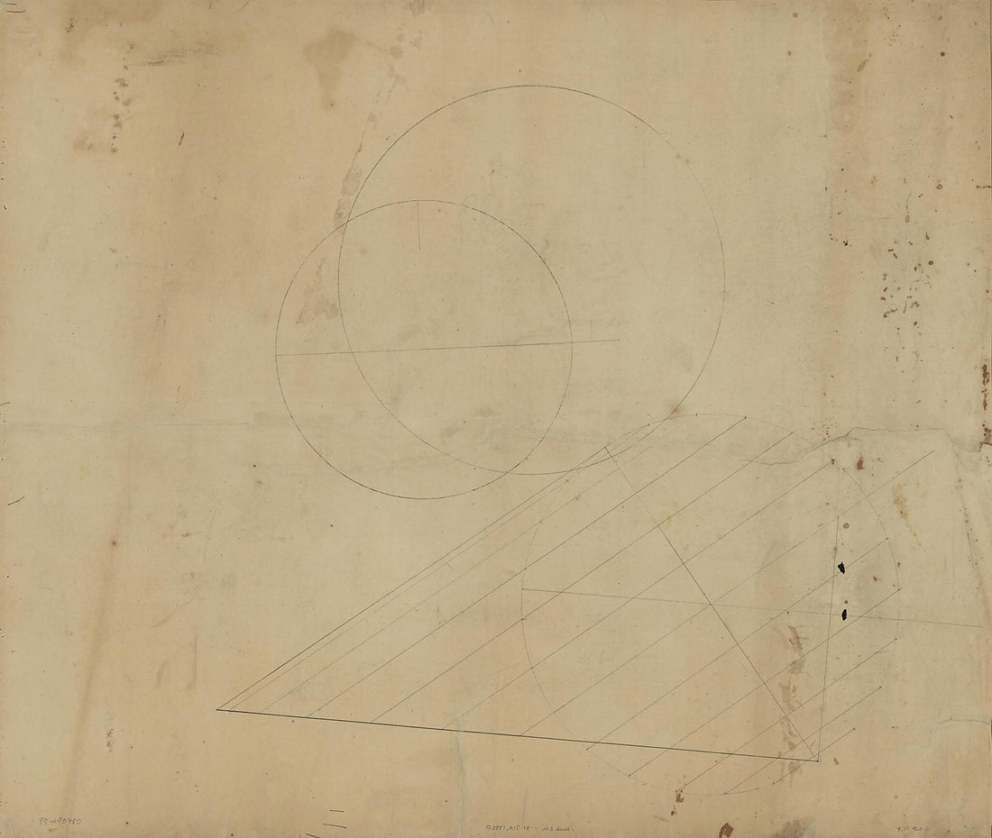
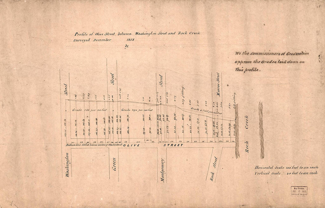 Profile of Olive Street Between Washington Street and Rock Creek : Georgetown, Washington D.C. 1858Profile of Olive Street Between Washington Street and Rock Creek : Georgetown, Washington D.C. 1858
- Regular price
-
$39.95 $99.95 - Regular price
-
$29.95 - Sale price
-
$39.95 $99.95
-
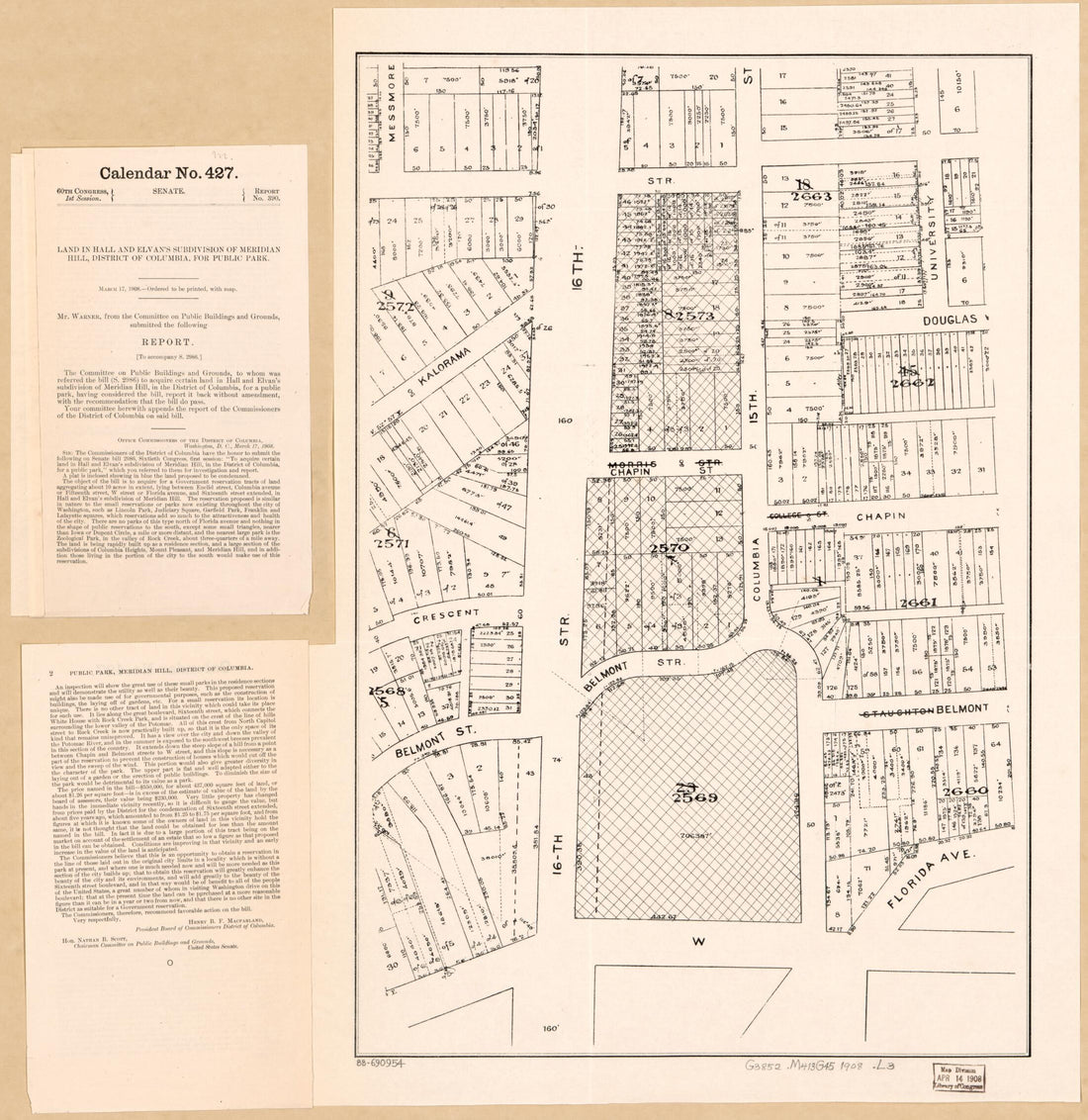 Land In Hall and Elvan's Subdivision of Meridian Hill, District of Columbia, for Public Park in 1908Land In Hall and Elvan's Subdivision of Meridian Hill, District of Columbia, for Public Park in 1908
- Regular price
-
$39.95 $83.95 - Regular price
-
$34.95 - Sale price
-
$39.95 $83.95
-
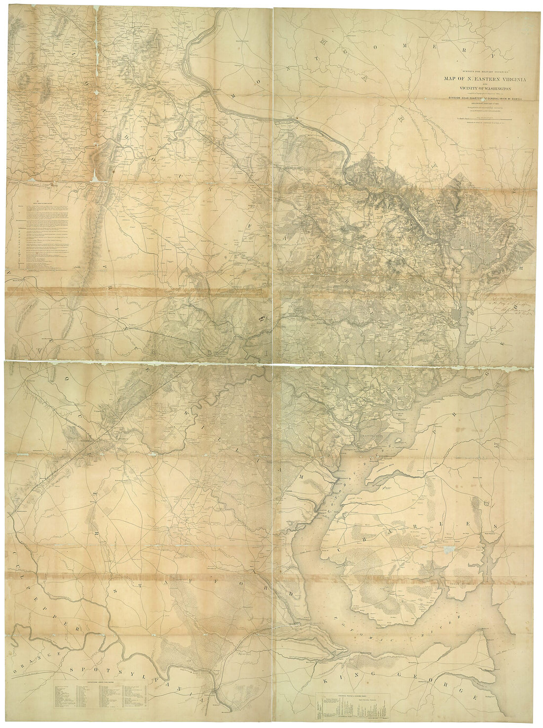 Map of N. Eastern Virginia and Vicinity of Washington 1862Map of N. Eastern Virginia and Vicinity of Washington 1862
- Regular price
-
$43.95 $240.95 - Regular price
-
$32.95 - Sale price
-
$43.95 $240.95
-
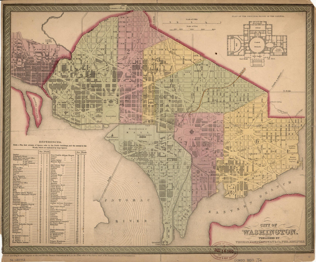 City of Washington 1850City of Washington 1850
- Regular price
-
$39.95 $83.95 - Regular price
-
$29.95 - Sale price
-
$39.95 $83.95
-
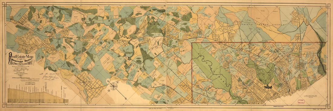 Real Estate Map of the Metropolitan Branch of the Baltimore and Ohio Railroad Company Between Washington, D.C., and Rockville, Md., and Adjacent Land Holdings : From Latest Official Authorities & Actual Surveys in 1890Real Estate Map of the Metropolitan Branch of the Baltimore and Ohio Railroad Company Between Washington, D.C., and Rockville, Md., and Adjacent Land Holdings : From Latest Official Authorities & Actual Surveys in 1890
- Regular price
-
$46.95 $107.95 - Regular price
-
$41.95 - Sale price
-
$46.95 $107.95
-
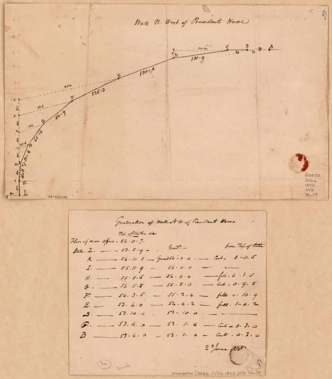 Wall N. West of Presidents House : Washington D.C. 1808Wall N. West of Presidents House : Washington D.C. 1808
- Regular price
-
$39.95 $83.95 - Regular price
-
$29.95 - Sale price
-
$39.95 $83.95


