890 products
-
 Plat of the Survey and Subdivision of the Estate of the Late Clark Mills Esq. In Washington County D.C. : Made for Messers. sic Thomas, Lambert, and Cole, Trustees, Oct. 1884 : part of Langdon and Woodridge, N.E. Washington D.C.Plat of the Survey and Subdivision of the Estate of the Late Clark Mills Esq. In Washington County D.C. : Made for Messers. sic Thomas, Lambert, and Cole, Trustees, Oct. 1884 : part of Langdon and Woodridge, N.E. Washington D.C.
- Regular price
-
$39.95 $83.95 - Regular price
-
$34.95 - Sale price
-
$39.95 $83.95
-
 Map of the State of Virginia (Map of Virginia) 1863Map of the State of Virginia (Map of Virginia) 1863
- Regular price
-
$46.95 $99.95 - Regular price
-
$41.95 - Sale price
-
$46.95 $99.95
-
 Bird's Eye View of Virginia, Maryland, Delaware, and the District of Columbia the Seat of War (Seat of War) 1861Bird's Eye View of Virginia, Maryland, Delaware, and the District of Columbia the Seat of War (Seat of War) 1861
- Regular price
-
$39.95 $157.95 - Regular price
-
$34.95 - Sale price
-
$39.95 $157.95
-
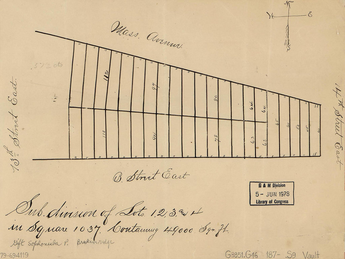 Division of Lots 1, 2, 3, and 4 In Square 1037, Containing 49,000 Sqr. Ft. : southeastern Washington, D.C. 1870Division of Lots 1, 2, 3, and 4 In Square 1037, Containing 49,000 Sqr. Ft. : southeastern Washington, D.C. 1870
- Regular price
-
$39.95 $88.95 - Regular price
-
$29.95 - Sale price
-
$39.95 $88.95
-
 Cadastral Map of Eastern Part of LeDroit Park and Blocks Northward to the Soldiers' Home, Washington D.C. 1899Cadastral Map of Eastern Part of LeDroit Park and Blocks Northward to the Soldiers' Home, Washington D.C. 1899
- Regular price
-
$42.95 $99.95 - Regular price
-
$37.95 - Sale price
-
$42.95 $99.95
-
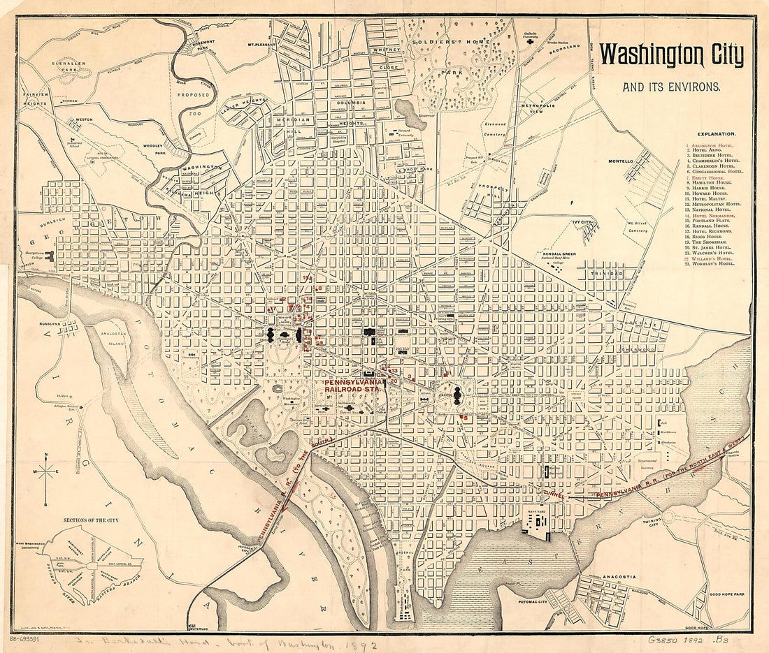 Washington City and Its Environs 1892Washington City and Its Environs 1892
- Regular price
-
$39.95 $83.95 - Regular price
-
$34.95 - Sale price
-
$39.95 $83.95
-
 District of Columbia 1917District of Columbia 1917
- Regular price
-
$43.95 $88.95 - Regular price
-
$32.95 - Sale price
-
$43.95 $88.95
-
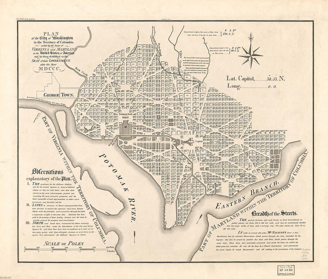 Plan of the City of Washington In the Territory of Columbia : Ceded by the States of Virginia and Maryland to the United States of America, and by Them Established As the Seat of Their Government, After the Year MDCCC 1792Plan of the City of Washington In the Territory of Columbia : Ceded by the States of Virginia and Maryland to the United States of America, and by Them Established As the Seat of Their Government, After the Year MDCCC 1792
- Regular price
-
$39.95 $103.95 - Regular price
-
$34.95 - Sale price
-
$39.95 $103.95
-
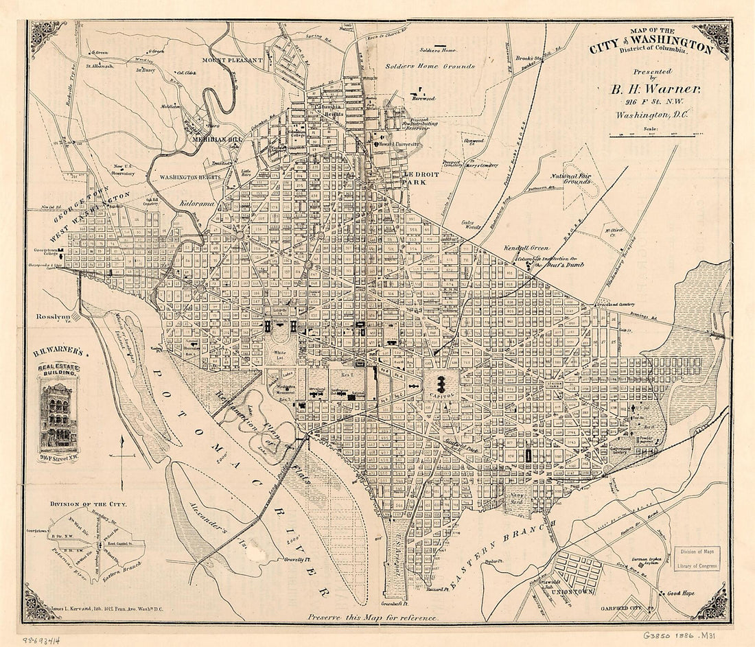 Map of the City of Washington, District of Columbia 1886Map of the City of Washington, District of Columbia 1886
- Regular price
-
$39.95 $83.95 - Regular price
-
$32.95 - Sale price
-
$39.95 $83.95
-
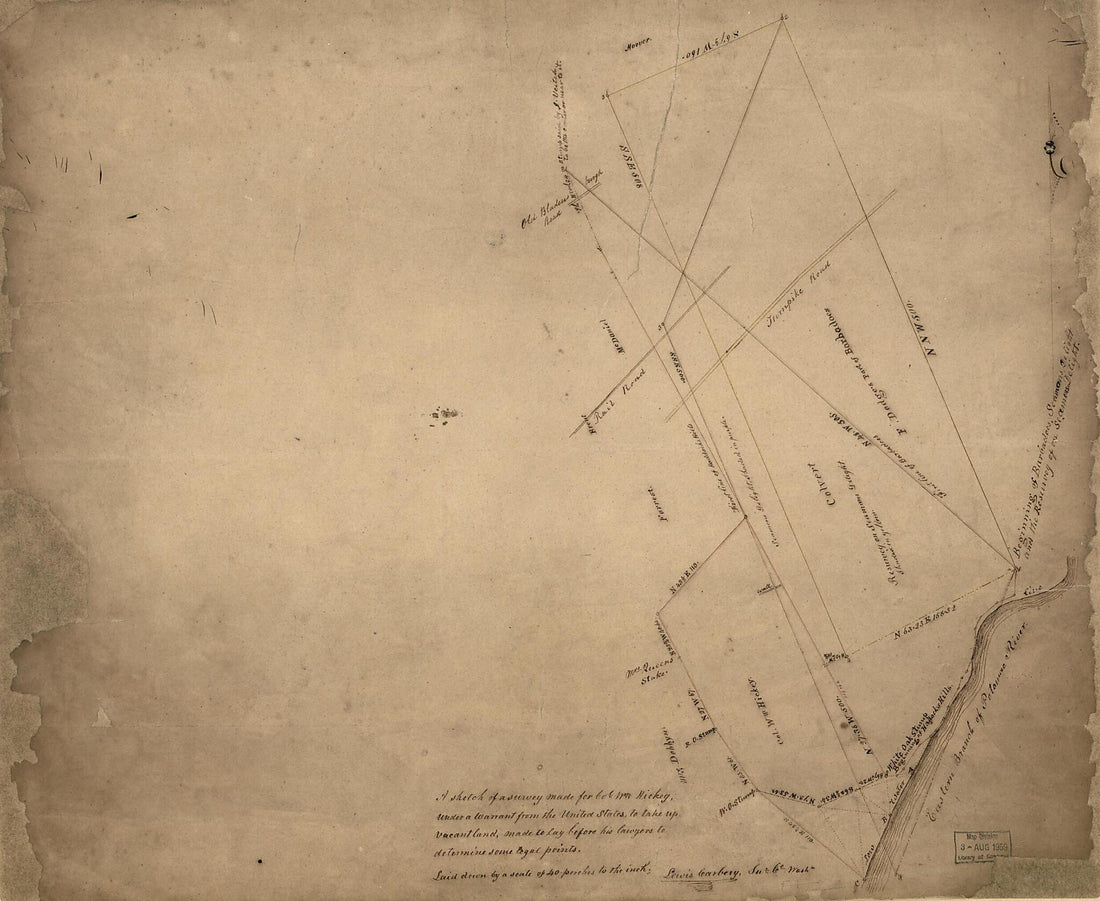 A Sketch of a Survey Made for Col. W'm Hickey, Under a Warrant from the United States, to Take Up Vacant Land : Made to Lay Before His Lawyers to Determine Some Legal Points : part of Washington D.C. Adjacent to the Anacostia River 1840A Sketch of a Survey Made for Col. W'm Hickey, Under a Warrant from the United States, to Take Up Vacant Land : Made to Lay Before His Lawyers to Determine Some Legal Points : part of Washington D.C. Adjacent to the Anacostia River 1840
- Regular price
-
$39.95 $101.95 - Regular price
-
$34.95 - Sale price
-
$39.95 $101.95
-
 Washington and Suburbs, District of Columbia, Showing Permanent System of Highways 1902Washington and Suburbs, District of Columbia, Showing Permanent System of Highways 1902
- Regular price
-
$39.95 $105.95 - Regular price
-
$34.95 - Sale price
-
$39.95 $105.95
-
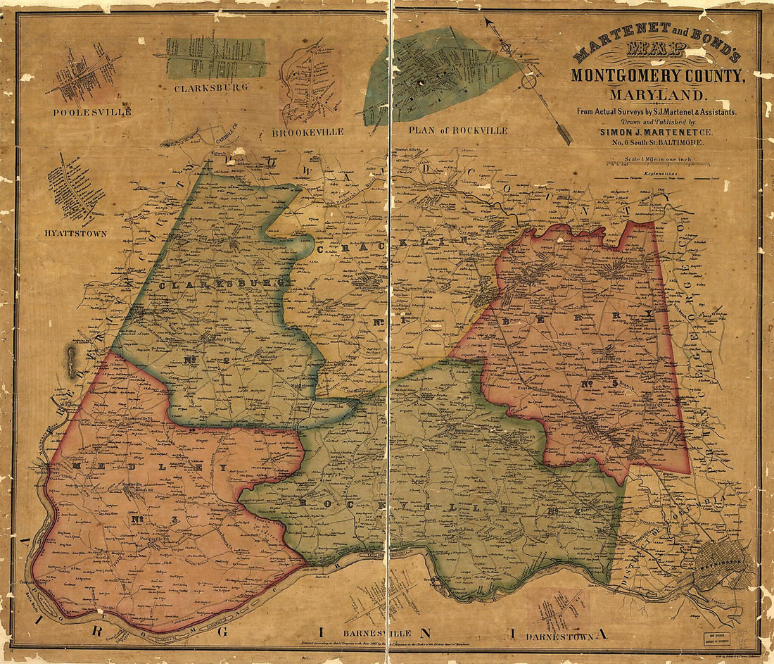 Martenet and Bond's Map of Montgomery County, Maryland (Map of Montgomery County, Maryland) 1865Martenet and Bond's Map of Montgomery County, Maryland (Map of Montgomery County, Maryland) 1865
- Regular price
-
$39.95 $118.95 - Regular price
-
$34.95 - Sale price
-
$39.95 $118.95


