Quick links
19716 products
-
A Reconnaissance of the Potomac River From Point Lookout to Washington City in 1861
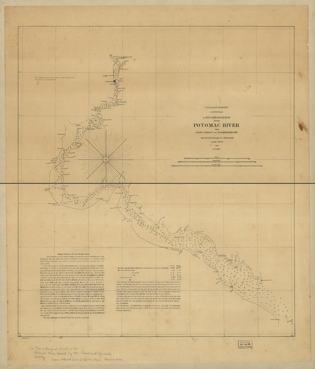 A Reconnaissance of the Potomac River From Point Lookout to Washington City in 1861
- Regular price
-
From
$34.95 - Regular price
-
$49.99 - Sale price
-
From
$34.95
-
E. & G. W. Blunt's Corrected Map of the Seat of War Near Richmond, July 10th, in 1862
 E. & G. W. Blunt's Corrected Map of the Seat of War Near Richmond, July 10th, in 1862
- Regular price
-
From
$29.95 - Regular price
-
$46.95 - Sale price
-
From
$29.95
-
A Correct Map of the Pennsylvania Central Rail Road With Its Branches & Connections, the Shortest & Quickest Route Between the East & West in 1854
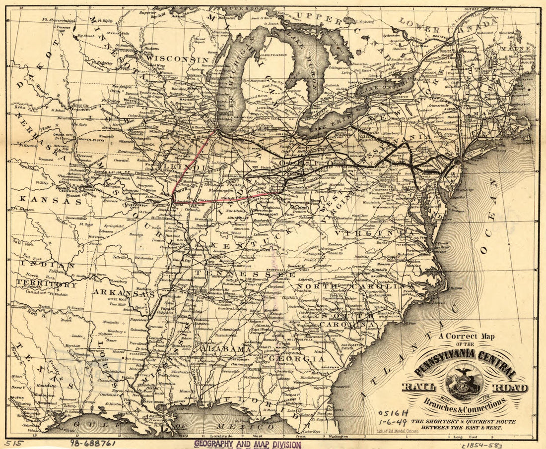 A Correct Map of the Pennsylvania Central Rail Road With Its Branches & Connections, the Shortest & Quickest Route Between the East & West in 1854
- Regular price
-
From
$19.95 - Regular price
-
$29.95 - Sale price
-
From
$19.95
-
Map Showing the Norfolk, Wilmington & Charleston Railroad in 1891
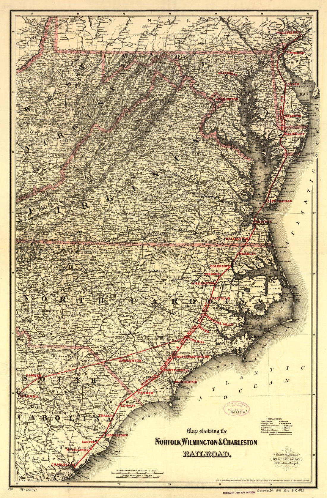 Map Showing the Norfolk, Wilmington & Charleston Railroad in 1891
- Regular price
-
From
$41.95 - Regular price
-
$66.99 - Sale price
-
From
$41.95
-
Map of the Denver & Rio Grande Railway, Showing Its Connections and Extensions Also the Relative Position of Denver and Pueblo to All the Principal Towns and Mining Regions of Colorado and New Mexico in 1881
 Map of the Denver & Rio Grande Railway, Showing Its Connections and Extensions Also the Relative Position of Denver and Pueblo to All the Principal Towns and Mining Regions of Colorado and New Mexico in 1881
- Regular price
-
From
$32.95 - Regular price
-
$51.99 - Sale price
-
From
$32.95
-
Colton's Map of the State of Indiana, Compiled From the United States Surveys & Other Authentic Sources, Exhibiting Sections, Fractional Sections, Railroads, Canals &c in 1860
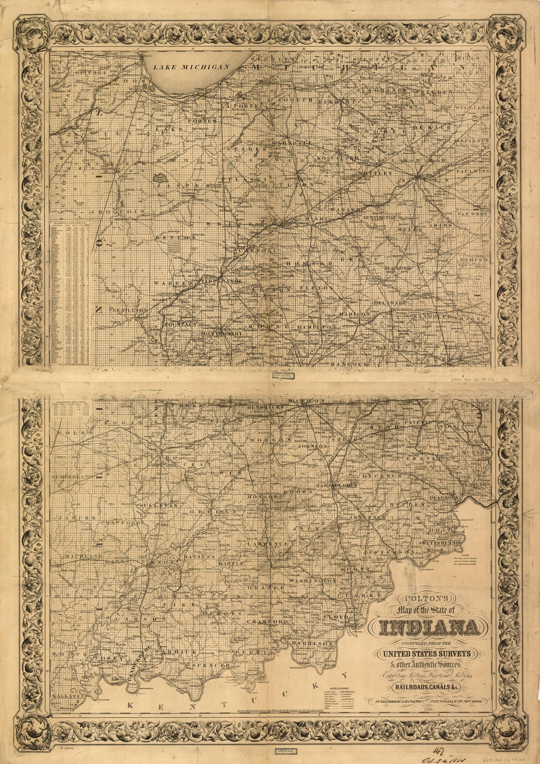 Colton's Map of the State of Indiana, Compiled From the United States Surveys & Other Authentic Sources, Exhibiting Sections, Fractional Sections, Railroads, Canals &c in 1860
- Regular price
-
From
$32.95 - Regular price
-
$51.99 - Sale price
-
From
$32.95
-
Map of the Island of Porto Rico Showing the Lines of Signal Communication, Telegraph, Telephone, and Heliograph, Operated by the Signals Corps, U.S. Army, With Military Posts in 1900
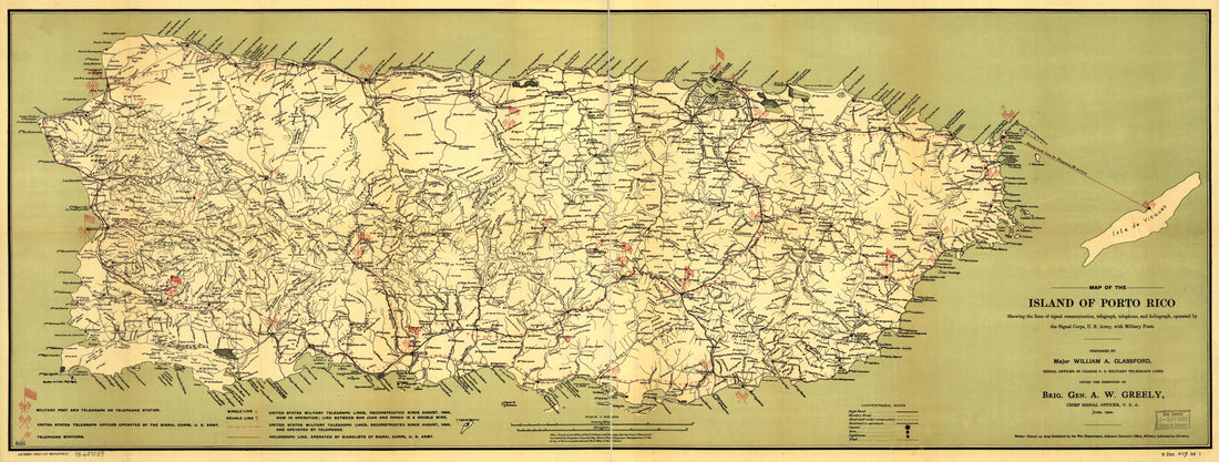 Map of the Island of Porto Rico Showing the Lines of Signal Communication, Telegraph, Telephone, and Heliograph, Operated by the Signals Corps, U.S. Army, With Military Posts in 1900
- Regular price
-
From
$41.95 - Regular price
-
$66.99 - Sale price
-
From
$41.95
-
Svmatrae Et Insularum Locorumque Nonnullorum Circumiacentium Tabula Noua. (Sumatrae Et Insularum Locorumque Nonnullorum Circumiacentium Tabula Nova) 1700
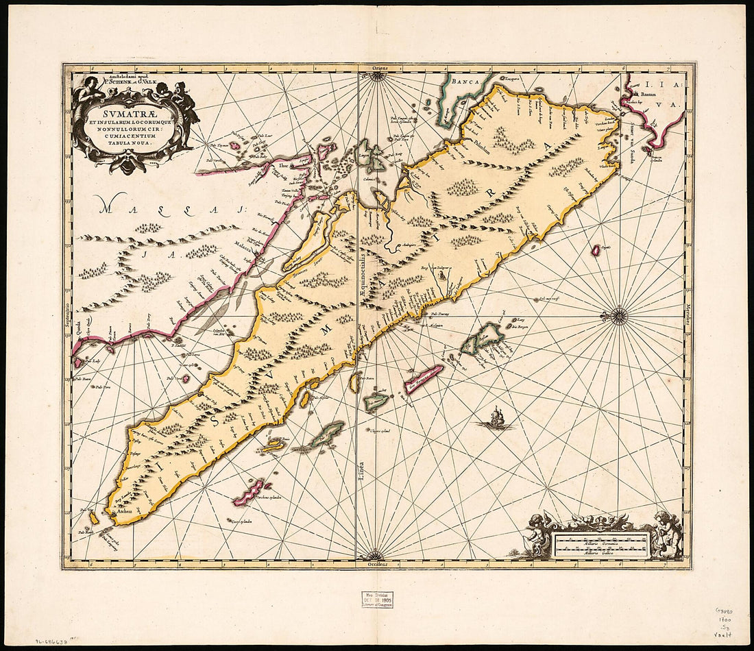 Svmatrae Et Insularum Locorumque Nonnullorum Circumiacentium Tabula Noua. (Sumatrae Et Insularum Locorumque Nonnullorum Circumiacentium Tabula Nova) 1700
- Regular price
-
From
$34.95 - Regular price
-
$49.99 - Sale price
-
From
$34.95
-
Map of the Villages of Niagara Falls & Niagara City, New York : the Village of Elgin and the City of the Falls, Canada West in 1856
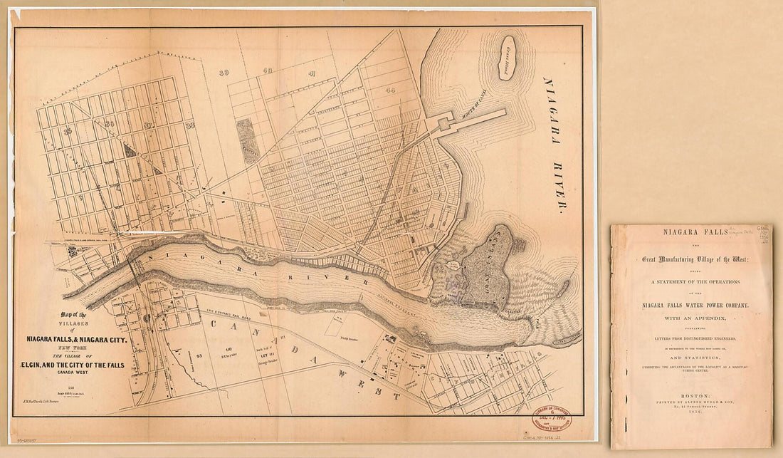 Map of the Villages of Niagara Falls & Niagara City, New York : the Village of Elgin and the City of the Falls, Canada West in 1856
- Regular price
-
From
$41.95 - Regular price
-
$66.99 - Sale price
-
From
$41.95
-
A Tale of Two Cities : From the Book by Charles Dickens : central London and Central Paris in 1789
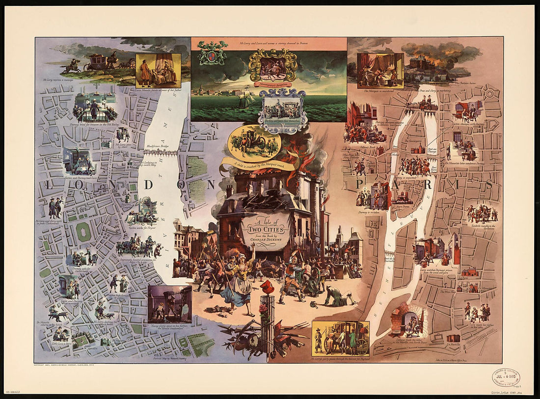 A Tale of Two Cities : From the Book by Charles Dickens : central London and Central Paris in 1789
- Regular price
-
From
$32.95 - Regular price
-
$51.99 - Sale price
-
From
$32.95
-
Pekin Yori Kankō Ni Itaru (Cong Beijing Zhi Hankou, Cong Beijing Dao Hankou, Cong Beijing Dao Hankou Lu Shang Tu) 1883
 Pekin Yori Kankō Ni Itaru (Cong Beijing Zhi Hankou, Cong Beijing Dao Hankou, Cong Beijing Dao Hankou Lu Shang Tu) 1883
- Regular price
-
From
$41.95 - Regular price
-
$66.99 - Sale price
-
From
$41.95