455 products
-
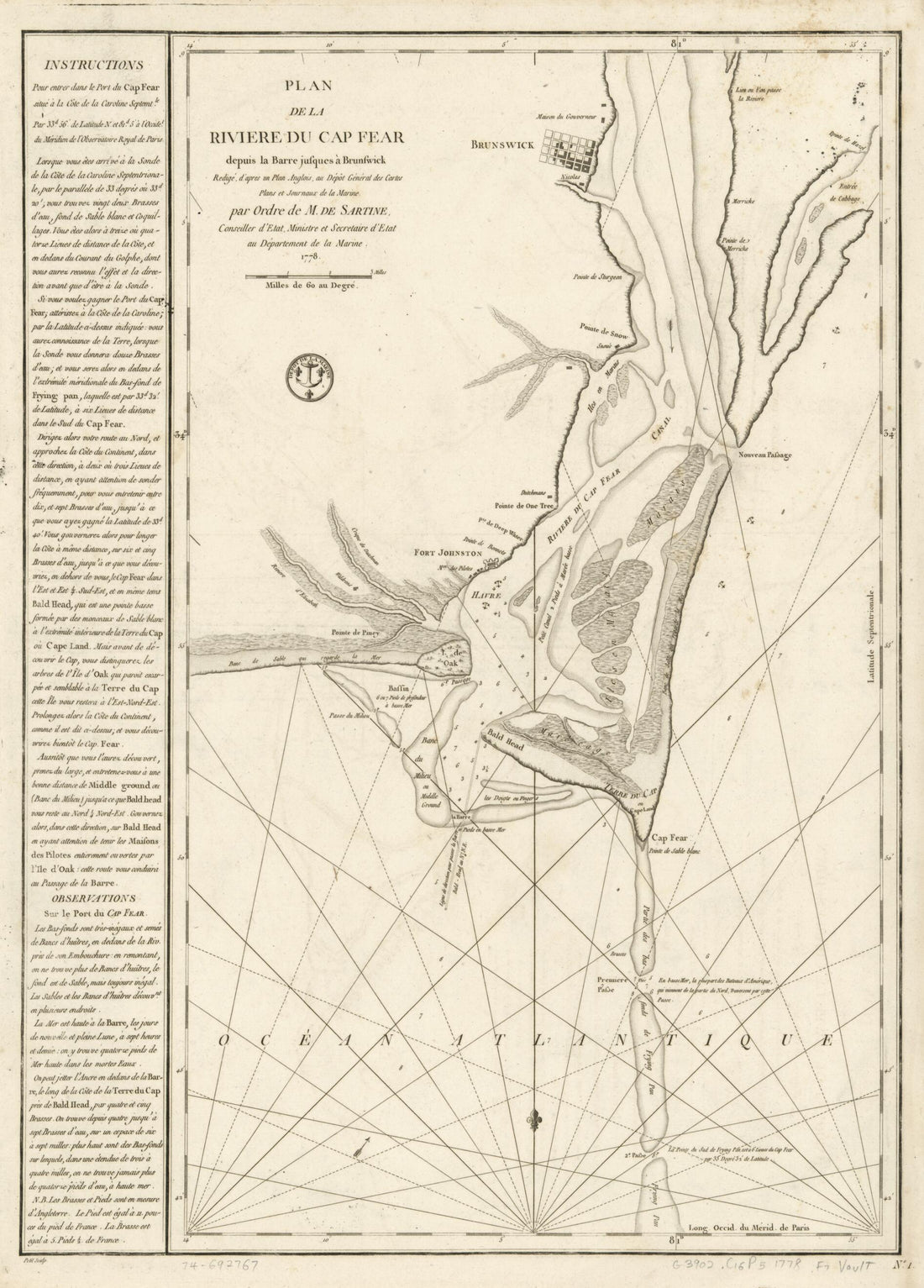 Plan De La Rivière Du Cap Fear Depuis La Barre Jusques à Brunswick in 1780Plan De La Rivière Du Cap Fear Depuis La Barre Jusques à Brunswick in 1780
- Regular price
-
$43.95 $88.95 - Regular price
-
$32.95 - Sale price
-
$43.95 $88.95
-
 Gulf Coast of the United States; Key West to Rio Grande in 1863Gulf Coast of the United States; Key West to Rio Grande in 1863
- Regular price
-
$46.95 $309.95 - Regular price
-
$41.95 - Sale price
-
$46.95 $309.95
-
 St. Augustine to New Orleans : With Florida Reefs and Entrance to Pensacola and Mobile Bays On a Large Scale in 1884St. Augustine to New Orleans : With Florida Reefs and Entrance to Pensacola and Mobile Bays On a Large Scale in 1884
- Regular price
-
$46.95 $335.95 - Regular price
-
$41.95 - Sale price
-
$46.95 $335.95
-
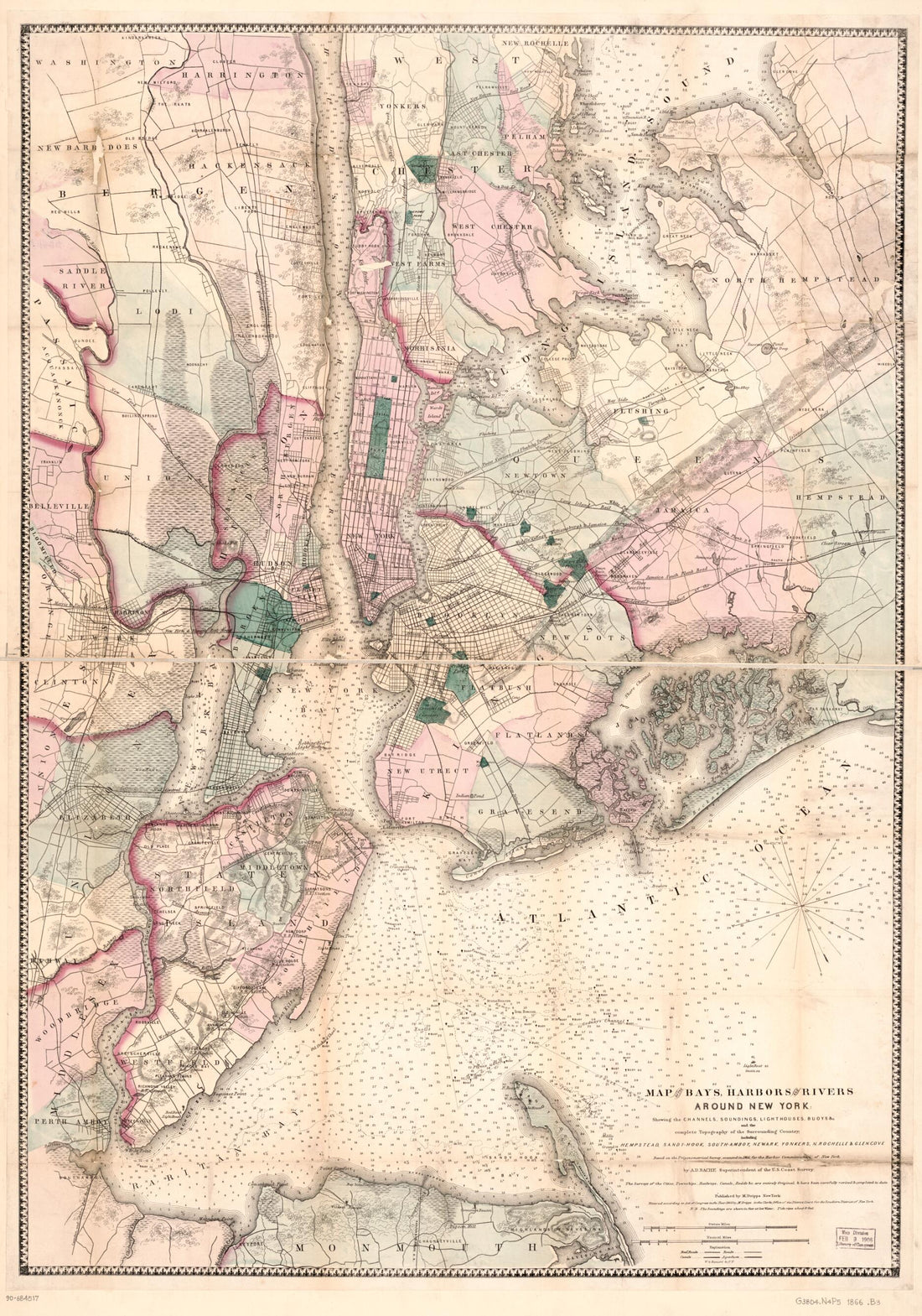 Hook, South-Amboy, Newark, Yonkers, N. Rochelle & Glen Cove in 1866Hook, South-Amboy, Newark, Yonkers, N. Rochelle & Glen Cove in 1866
- Regular price
-
$46.95 $99.95 - Regular price
-
$41.95 - Sale price
-
$46.95 $99.95
-
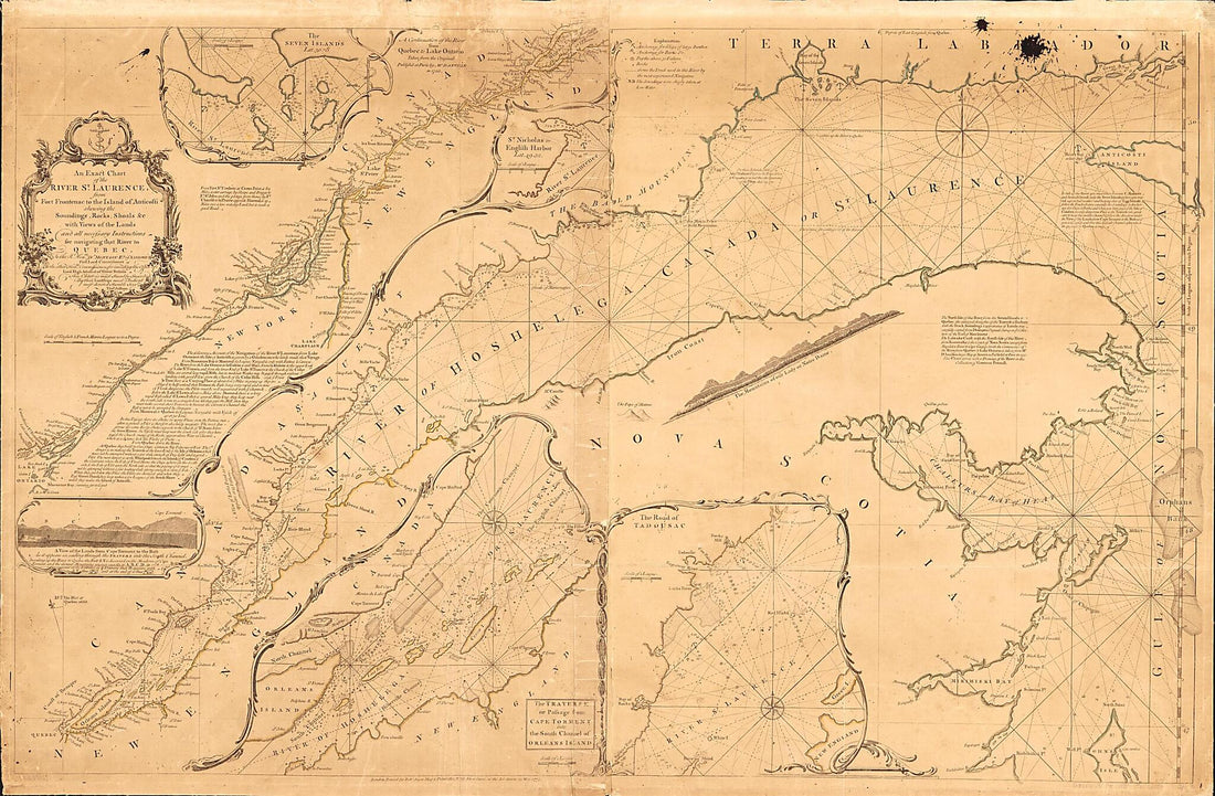 An Exact Chart of the River St. Laurence, From Fort Frontenac to the Island of Anticosti Shewing the Soundings, Rocks, Shoals &c With Views of the Lands and All Necessary Instructions for Navigating That River to Quebec in 1775An Exact Chart of the River St. Laurence, From Fort Frontenac to the Island of Anticosti Shewing the Soundings, Rocks, Shoals &c With Views of the Lands and All Necessary Instructions for Navigating That River to Quebec in 1775
- Regular price
-
$46.95 $216.95 - Regular price
-
$41.95 - Sale price
-
$46.95 $216.95
-
 Isle Amelia En Floride in 1778Isle Amelia En Floride in 1778
- Regular price
-
$43.95 $140.95 - Regular price
-
$32.95 - Sale price
-
$43.95 $140.95
-
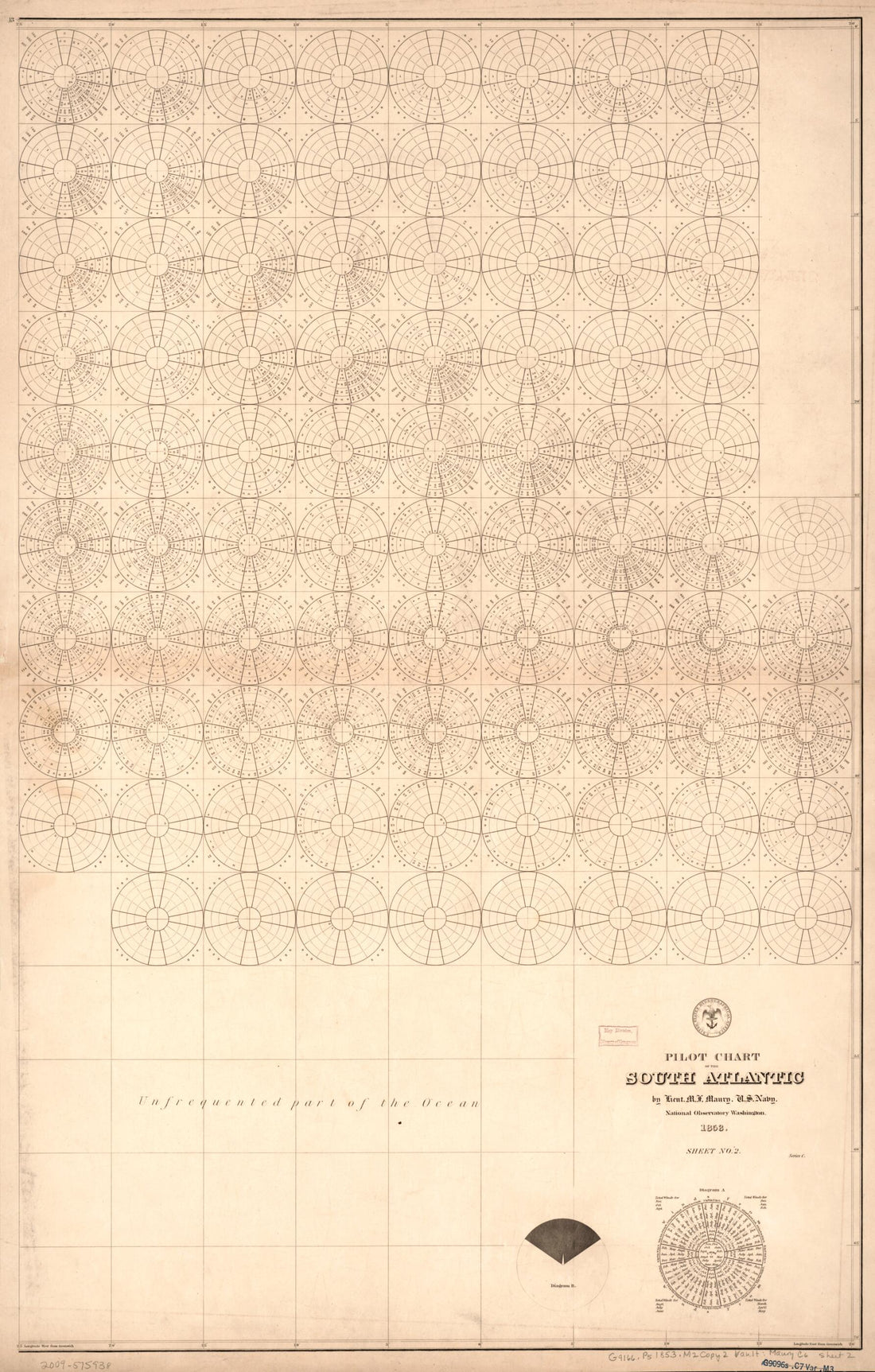 Pilot Chart of the South Atlantic (South Atlantic) 1853Pilot Chart of the South Atlantic (South Atlantic) 1853
- Regular price
-
$46.95 $99.95 - Regular price
-
$41.95 - Sale price
-
$46.95 $99.95
-
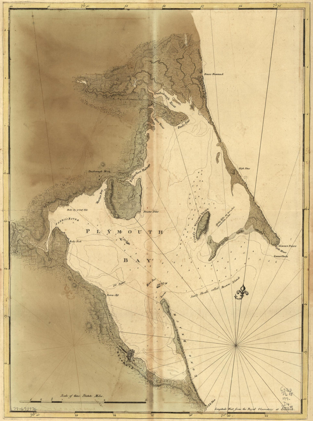 Chart of Plymouth Bay 1770Chart of Plymouth Bay 1770
- Regular price
-
$43.95 $88.95 - Regular price
-
$32.95 - Sale price
-
$43.95 $88.95
-
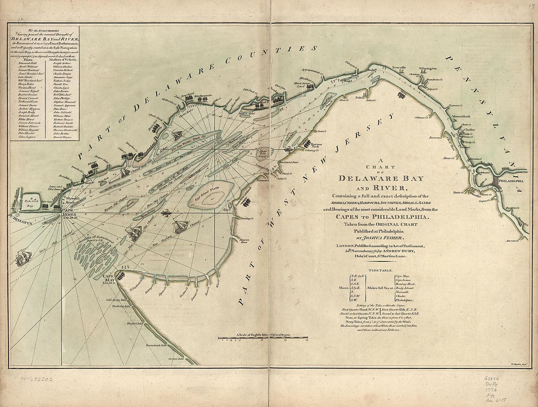 A Chart of Delaware Bay and River : Containing a Full and Exact Description of the Shores, Creeks, Harbours, Soundings, Shoals, Sands, and Bearings of the Most Considerable Land Marks, from the Capes to Philadelphia 1776A Chart of Delaware Bay and River : Containing a Full and Exact Description of the Shores, Creeks, Harbours, Soundings, Shoals, Sands, and Bearings of the Most Considerable Land Marks, from the Capes to Philadelphia 1776
- Regular price
-
$43.95 $217.95 - Regular price
-
$32.95 - Sale price
-
$43.95 $217.95
-
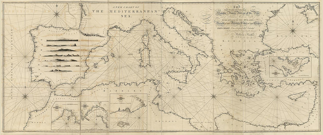 A New Chart of the Mediterranean Sea in 1797A New Chart of the Mediterranean Sea in 1797
- Regular price
-
$46.95 $405.95 - Regular price
-
$41.95 - Sale price
-
$46.95 $405.95
-
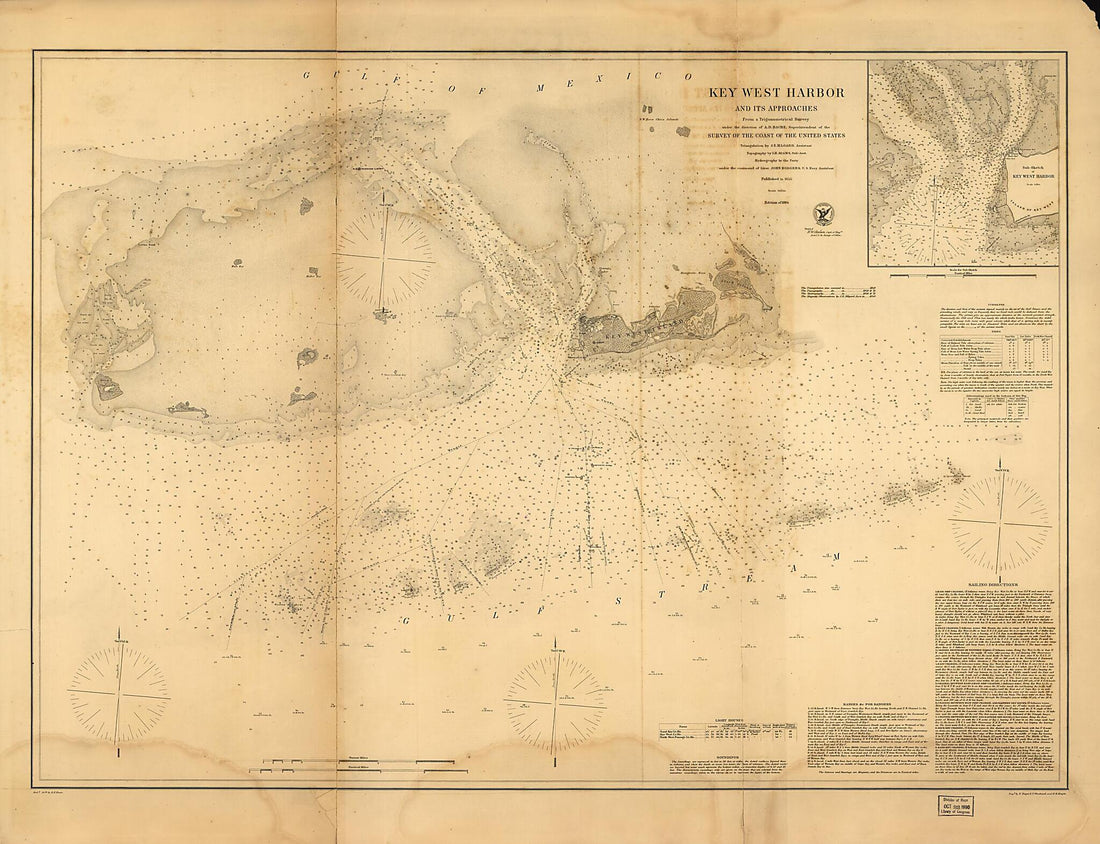 Key West Harbor and Its Approaches 1864Key West Harbor and Its Approaches 1864
- Regular price
-
$43.95 $212.95 - Regular price
-
$32.95 - Sale price
-
$43.95 $212.95


