455 products
-
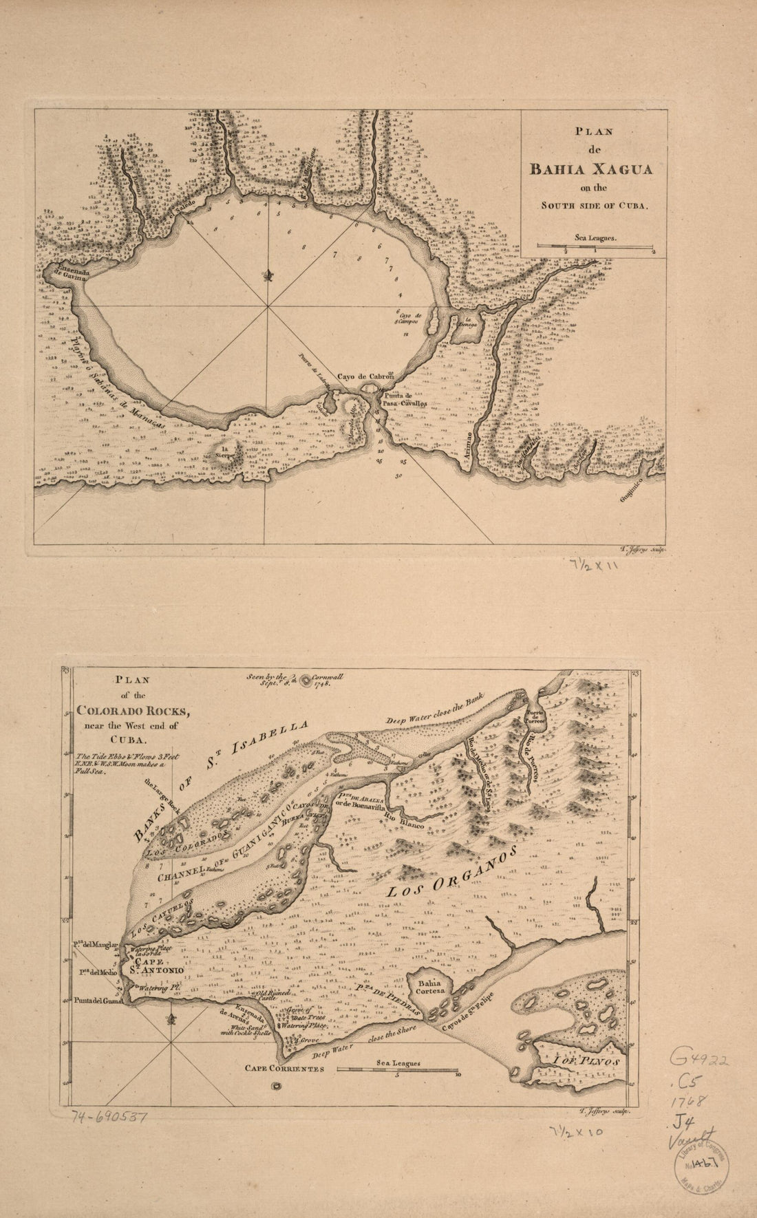 Plan De Bahía Xagua On the South Side of Cuba; Plan of the Colorado Rocks, Near the West End of Cuba 1768Plan De Bahía Xagua On the South Side of Cuba; Plan of the Colorado Rocks, Near the West End of Cuba 1768
- Regular price
-
$46.95 $99.95 - Regular price
-
$41.95 - Sale price
-
$46.95 $99.95
-
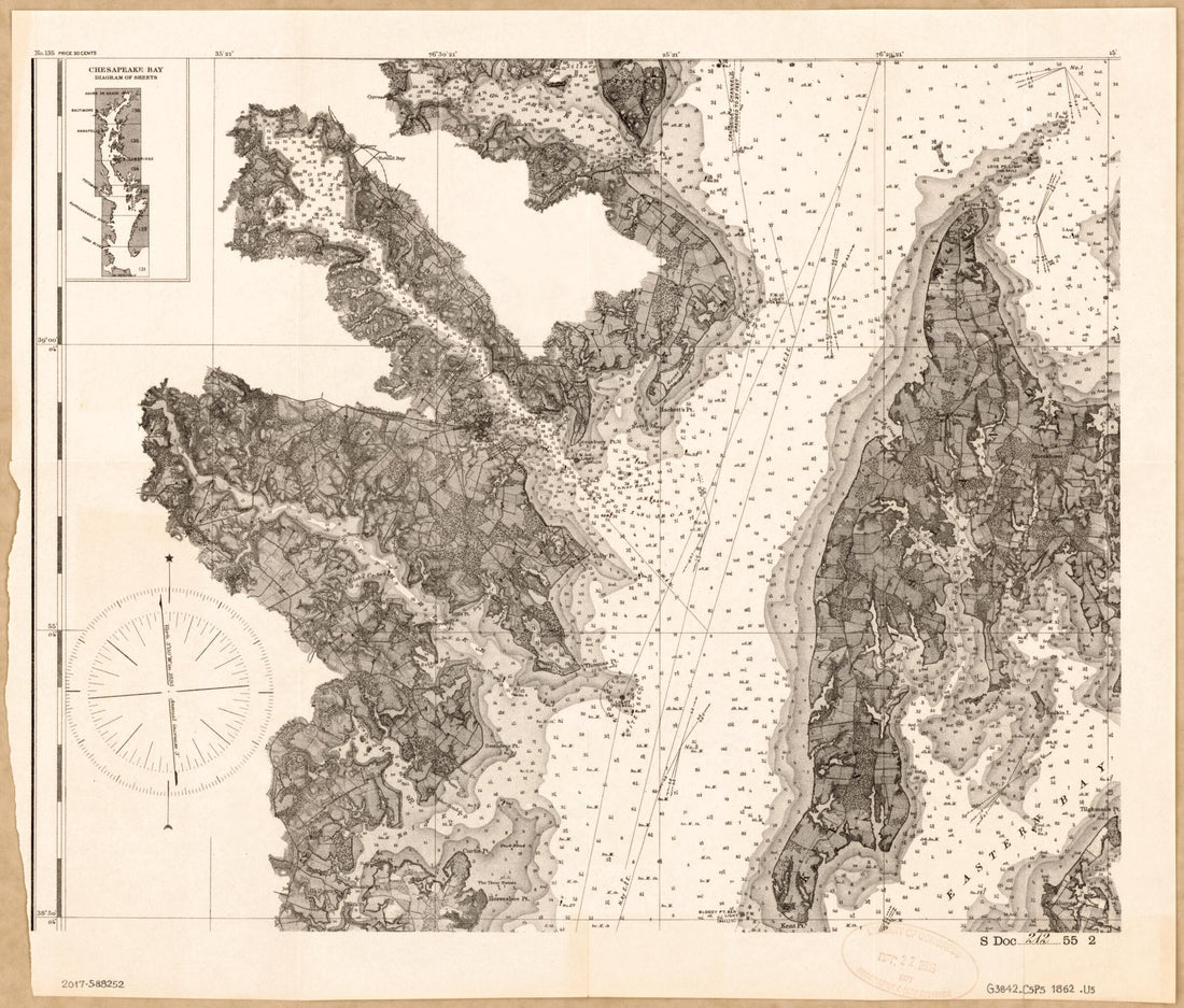
 Chesapeake Bay, Sheet No. 1, York River, Hampton Roads, Chesapeake Entrance 1863Chesapeake Bay, Sheet No. 1, York River, Hampton Roads, Chesapeake Entrance 1863
- Regular price
-
$46.95 $215.95 - Regular price
-
$41.95 - Sale price
-
$46.95 $215.95
-
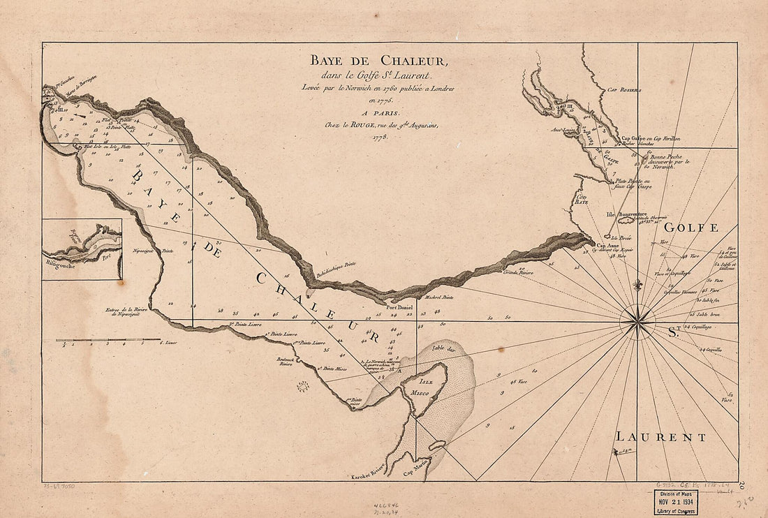 Baye De Chaleur, Dans Le Golfe St. Laurent, 1778Baye De Chaleur, Dans Le Golfe St. Laurent, 1778
- Regular price
-
$43.95 $99.95 - Regular price
-
$30.95 - Sale price
-
$43.95 $99.95
-
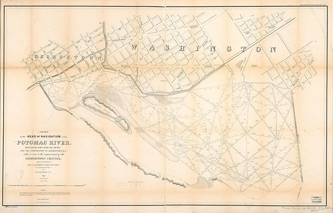 Chart of the Head of Navigation of the Potomac River : Surveyed by Order of the Sec. of War for the Corporation of Georgetown D.C. With a View to the Improvement of the Georgetown Channel 1857Chart of the Head of Navigation of the Potomac River : Surveyed by Order of the Sec. of War for the Corporation of Georgetown D.C. With a View to the Improvement of the Georgetown Channel 1857
- Regular price
-
$46.95 $227.95 - Regular price
-
$41.95 - Sale price
-
$46.95 $227.95
-
 Coast of Maine from Salter Island to Portland Head 1776Coast of Maine from Salter Island to Portland Head 1776
- Regular price
-
$46.95 $259.95 - Regular price
-
$41.95 - Sale price
-
$46.95 $259.95
-
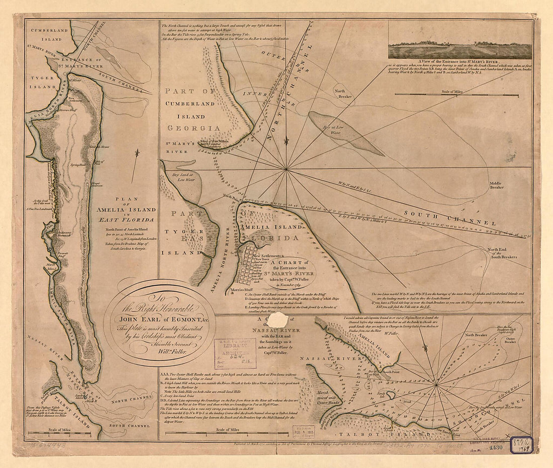 Plan of Amelia Island In East Florida, North Point of Amelia Island Lyes In 30:55 North Latitude 80:23 W. Longitude from London, Taken from De Brahm's Map of South Caroline & Georgia. a Chart of the Entrance Into St. Mary's River 1777Plan of Amelia Island In East Florida, North Point of Amelia Island Lyes In 30:55 North Latitude 80:23 W. Longitude from London, Taken from De Brahm's Map of South Caroline & Georgia. a Chart of the Entrance Into St. Mary's River 1777
- Regular price
-
$39.95 $137.95 - Regular price
-
$34.95 - Sale price
-
$39.95 $137.95
-
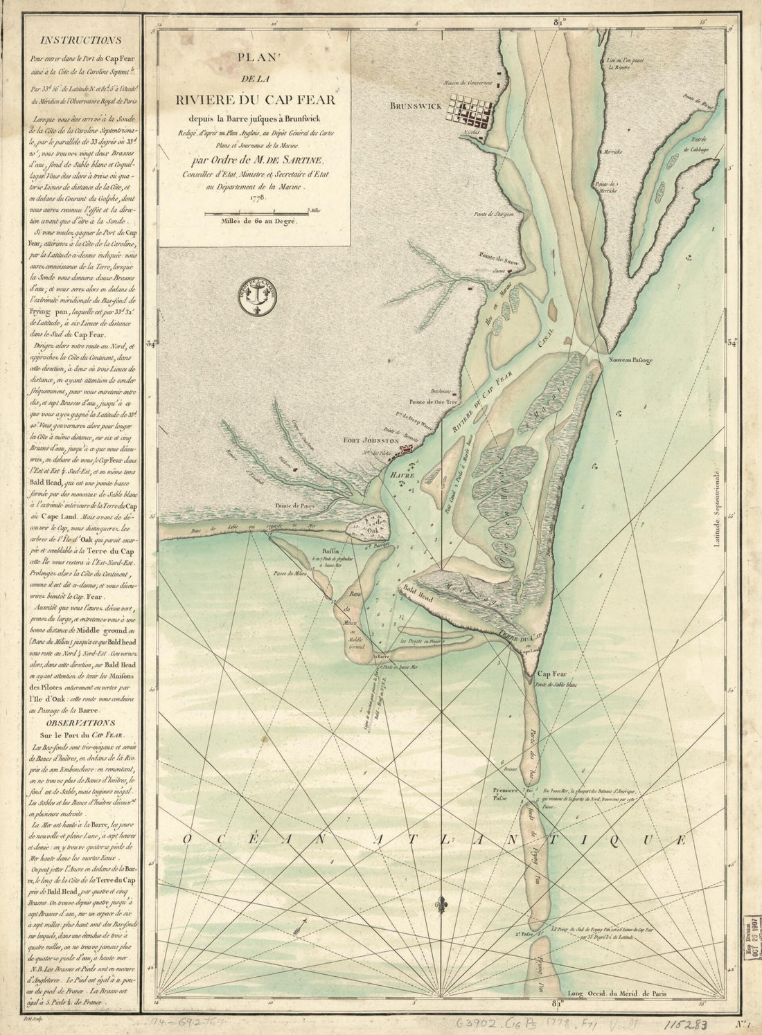 Plan De La Rivière Du Cap Fear Depuis La Barre Jusques à Brunswick 1778Plan De La Rivière Du Cap Fear Depuis La Barre Jusques à Brunswick 1778
- Regular price
-
$43.95 $88.95 - Regular price
-
$32.95 - Sale price
-
$43.95 $88.95
-
 Chesapeake Bay 1862Chesapeake Bay 1862
- Regular price
-
$39.95 $83.95 - Regular price
-
$32.95 - Sale price
-
$39.95 $83.95
-
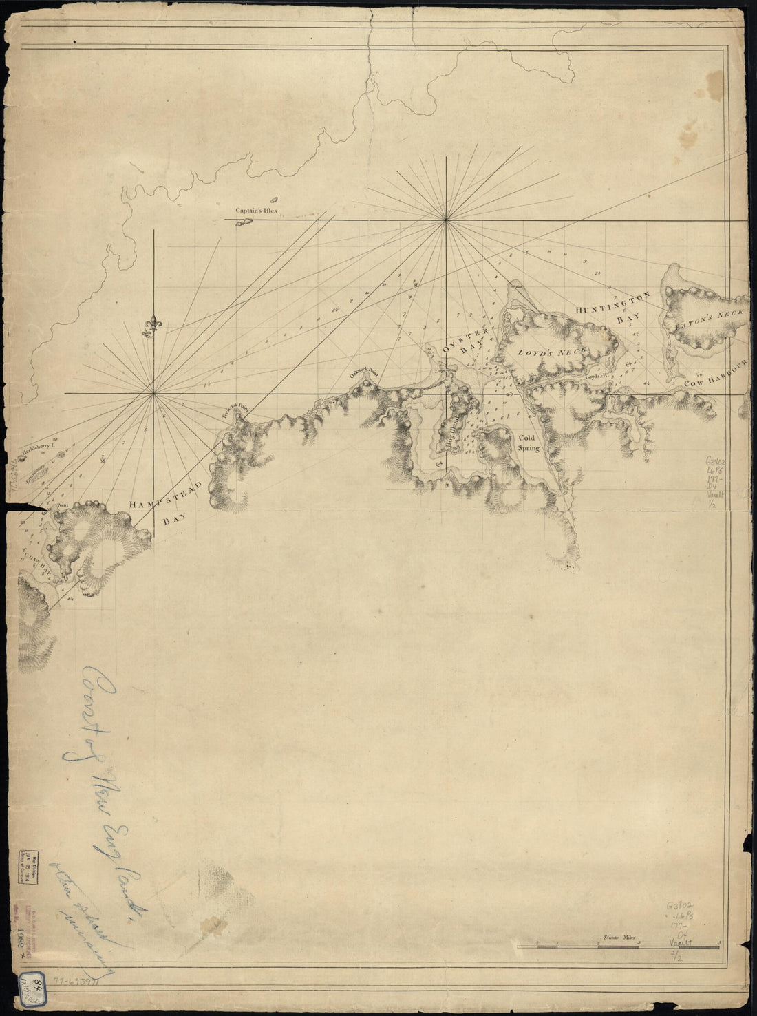 A Chart of New York Island & North River: East River, Passage Through Hell Gate, Flushing Bay, Hampstead Bay, Oyster, Huntington Bay, Cow Harbour, East Chester Inlet, Rochell, Rye, Patrick Islands, Ec 1770A Chart of New York Island & North River: East River, Passage Through Hell Gate, Flushing Bay, Hampstead Bay, Oyster, Huntington Bay, Cow Harbour, East Chester Inlet, Rochell, Rye, Patrick Islands, Ec 1770
- Regular price
-
$43.95 $88.95 - Regular price
-
$32.95 - Sale price
-
$43.95 $88.95
-
 Chart Showing the Depth of the James and York Rivers As They Enter Chesapeake Bay, With Towns Adjacent 1781Chart Showing the Depth of the James and York Rivers As They Enter Chesapeake Bay, With Towns Adjacent 1781
- Regular price
-
$39.95 $83.95 - Regular price
-
$29.95 - Sale price
-
$39.95 $83.95
-
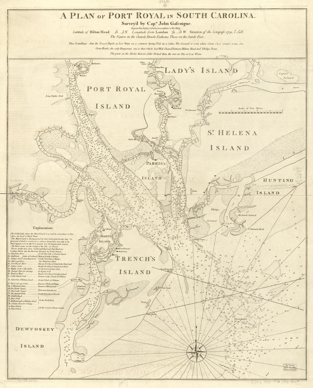 A Plan of Port Royal In South Carolina 1773A Plan of Port Royal In South Carolina 1773
- Regular price
-
$39.95 $83.95 - Regular price
-
$34.95 - Sale price
-
$39.95 $83.95
-
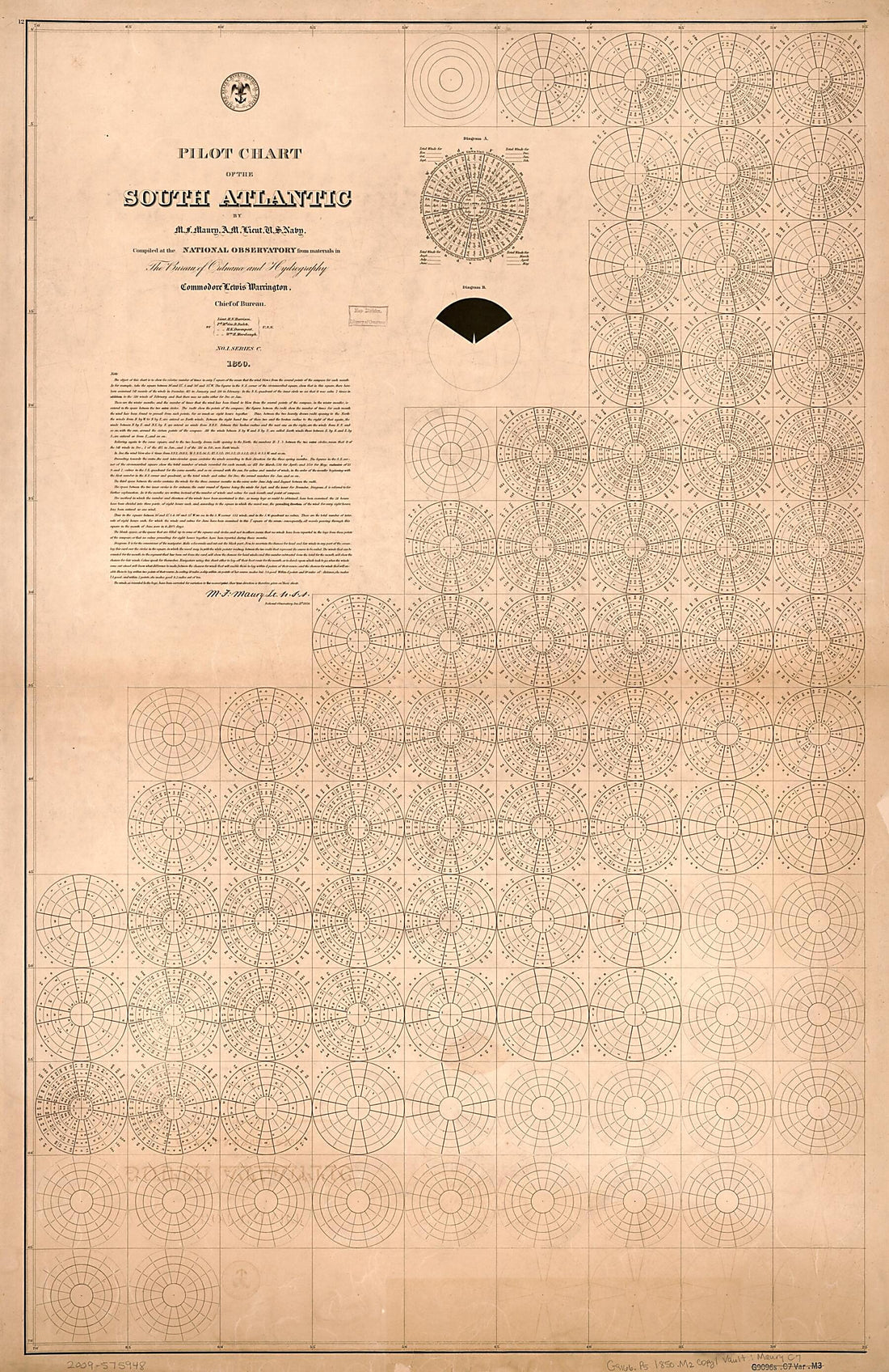 Pilot Chart of the South Atlantic (South Atlantic) 1850Pilot Chart of the South Atlantic (South Atlantic) 1850
- Regular price
-
$46.95 $195.95 - Regular price
-
$41.95 - Sale price
-
$46.95 $195.95


