457 products
-
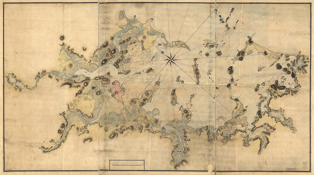
A Plan of Port Royal In South Carolina 1773
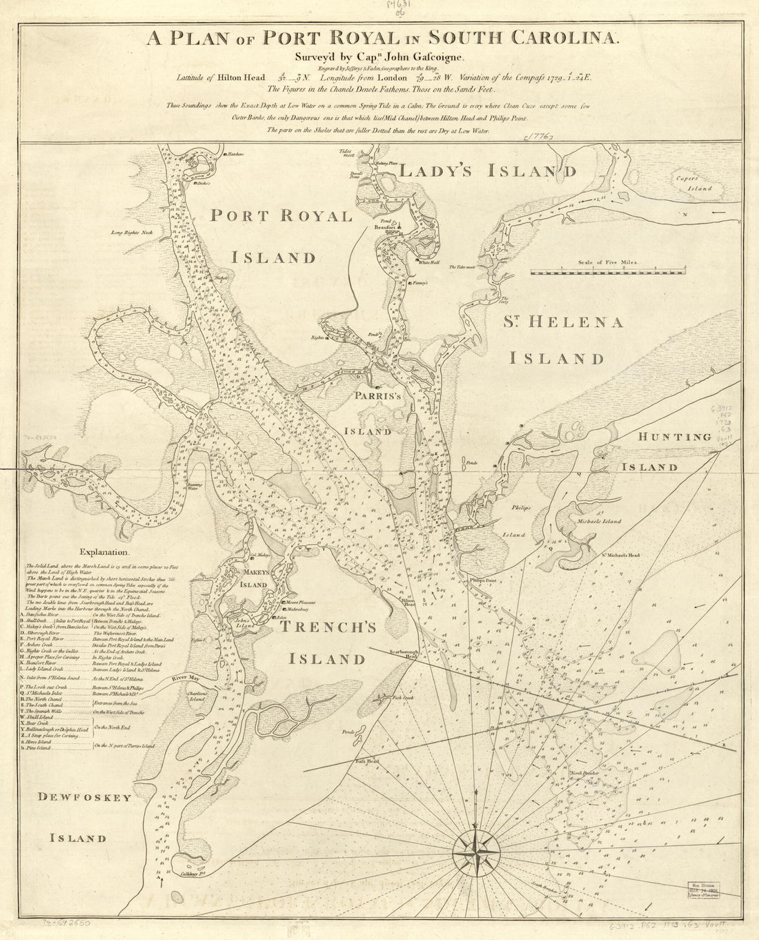 A Plan of Port Royal In South Carolina 1773
- Regular price
-
From
$34.95 - Regular price
-
$49.99 - Sale price
-
From
$34.95
-
Pilot Chart of the South Atlantic (South Atlantic) 1850
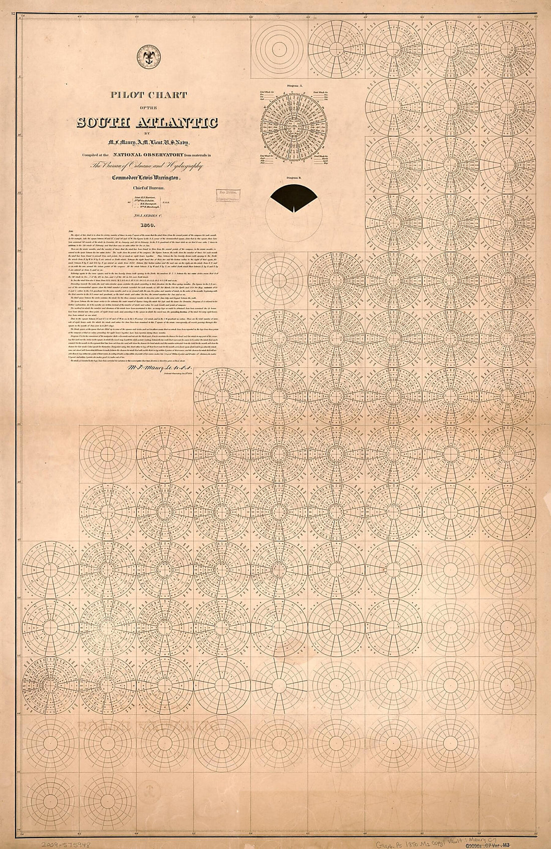 Pilot Chart of the South Atlantic (South Atlantic) 1850
- Regular price
-
From
$41.95 - Regular price
-
$66.99 - Sale price
-
From
$41.95
-
Pilot Chart of the North Pacific (North Pacific) 1852
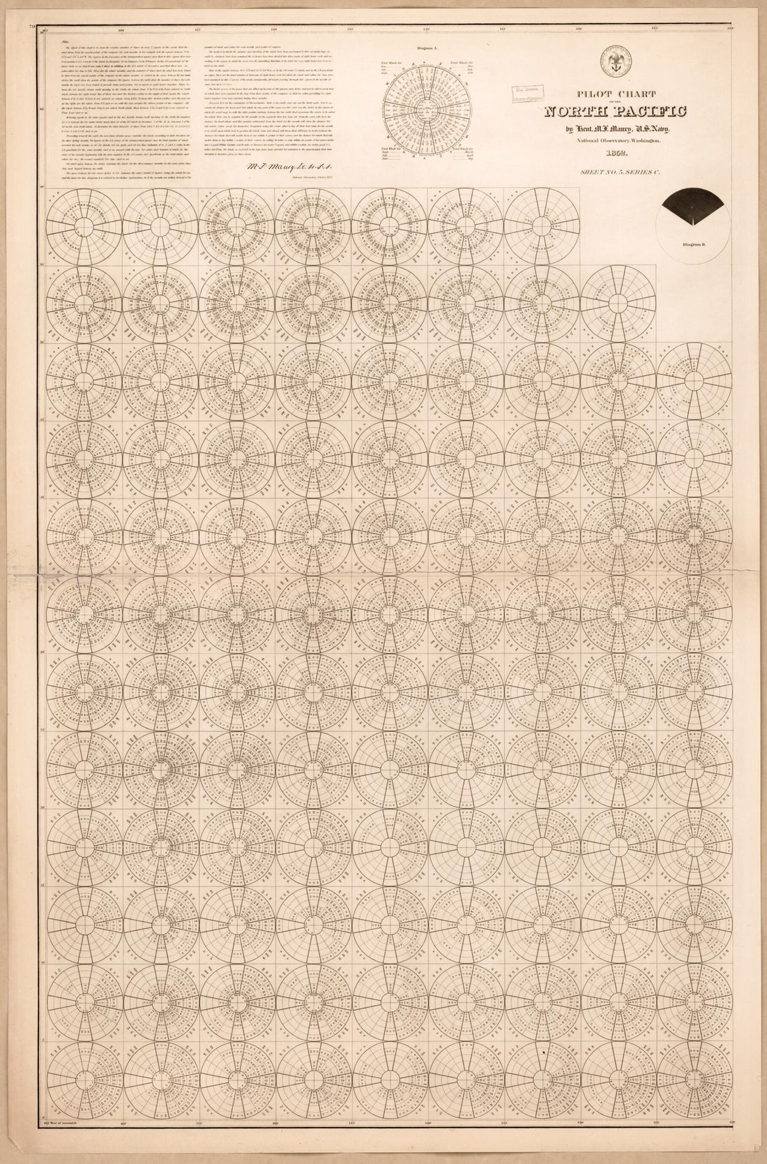 Pilot Chart of the North Pacific (North Pacific) 1852
- Regular price
-
From
$41.95 - Regular price
-
$66.99 - Sale price
-
From
$41.95
-
A Chart Shewing sic Part of the Coast of N.W. America 1852
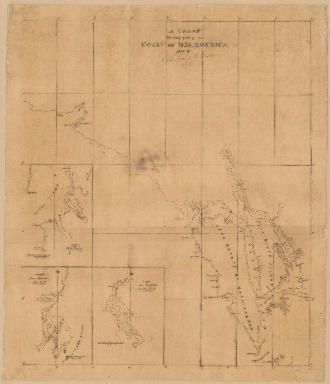 A Chart Shewing sic Part of the Coast of N.W. America 1852
- Regular price
-
From
$34.95 - Regular price
-
$49.99 - Sale price
-
From
$34.95
-
Hook Jusques à New-York Avec Les Bancs, Sondes, Marques De Navigation &c 1778
 Hook Jusques à New-York Avec Les Bancs, Sondes, Marques De Navigation &c 1778
- Regular price
-
From
$30.95 - Regular price
-
$48.95 - Sale price
-
From
$30.95
-
An Actual Survey of the Sea Coast from New York to the I. Cape Briton, With Tables of the Direct and Thwart Courses & Distances from Place to Place 1775
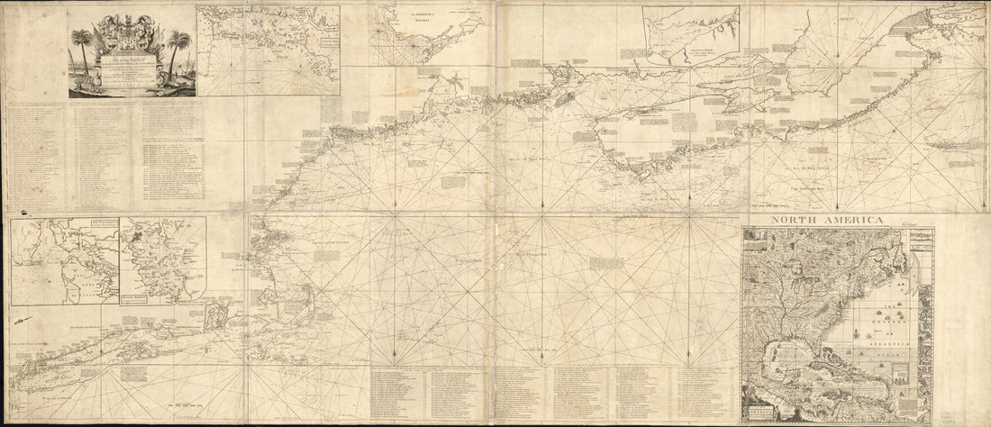 An Actual Survey of the Sea Coast from New York to the I. Cape Briton, With Tables of the Direct and Thwart Courses & Distances from Place to Place 1775
- Regular price
-
From
$41.95 - Regular price
-
$66.99 - Sale price
-
From
$41.95
-
An Exact Chart of the River St. Laurence, from Fort Frontenac to the Island of Anticosti Shewing the Soundings, Rocks, Shoals &c With Views of the Lands and All Necessary Instructions for Navigating That River to Quebec 1775
 An Exact Chart of the River St. Laurence, from Fort Frontenac to the Island of Anticosti Shewing the Soundings, Rocks, Shoals &c With Views of the Lands and All Necessary Instructions for Navigating That River to Quebec 1775
- Regular price
-
From
$41.95 - Regular price
-
$66.99 - Sale price
-
From
$41.95
-
Part of Long Island; and the Coast Eastward to the Shoals of Nantucket 1778
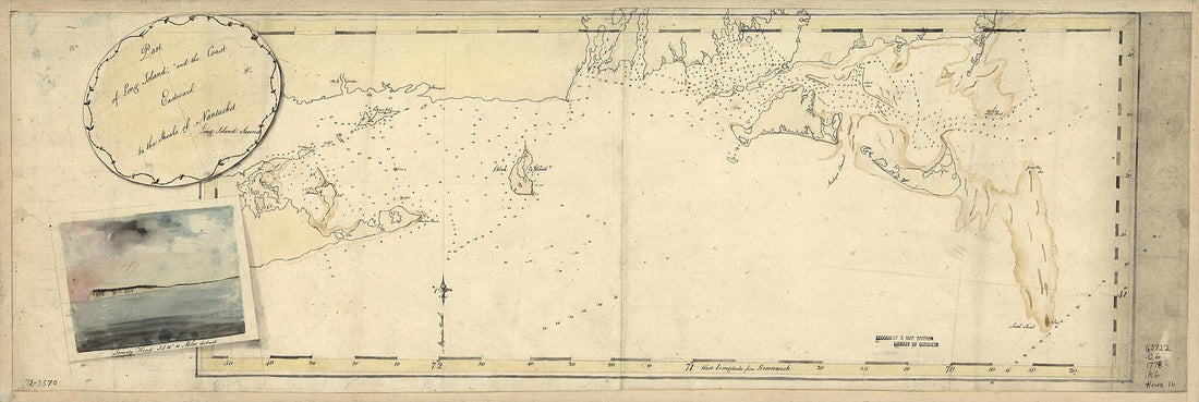 Part of Long Island; and the Coast Eastward to the Shoals of Nantucket 1778
- Regular price
-
From
$29.95 - Regular price
-
$46.95 - Sale price
-
From
$29.95
-
A Portolan Chart of the Atlantic Ocean and Adjacent Continents 1633
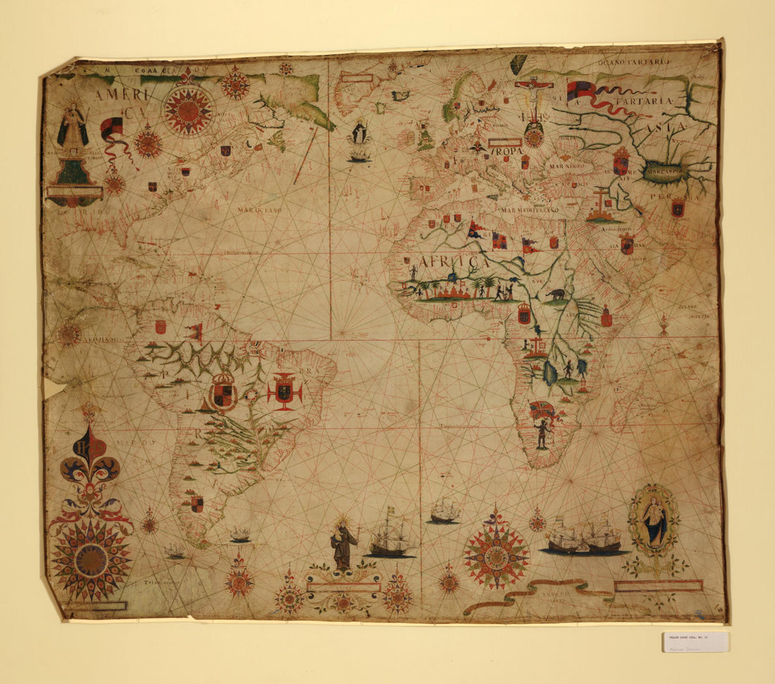 A Portolan Chart of the Atlantic Ocean and Adjacent Continents 1633
- Regular price
-
From
$34.95 - Regular price
-
$49.99 - Sale price
-
From
$34.95
-
Partie Du Fleuve De Saint Laurent Avec Le Bassin De Quebec Et L'isle D'Orleans 1764
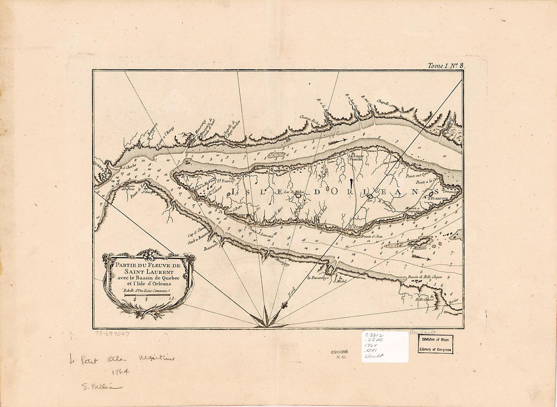 Partie Du Fleuve De Saint Laurent Avec Le Bassin De Quebec Et L'isle D'Orleans 1764
- Regular price
-
From
$23.95 - Regular price
-
$37.95 - Sale price
-
From
$23.95
-
Preliminary Chart of Escambia and Santa Maria De Galvaez i.e., East Bays, Florida 1861
 Preliminary Chart of Escambia and Santa Maria De Galvaez i.e., East Bays, Florida 1861
- Regular price
-
From
$34.95 - Regular price
-
$49.99 - Sale price
-
From
$34.95
-
Boston Harbour, With the Surroundings, &c 1770
 Boston Harbour, With the Surroundings, &c 1770
- Regular price
-
From
$41.95 - Regular price
-
$66.99 - Sale price
-
From
$41.95


