767 products
-
Cooke's New Map of the State of North Carolina : Constructed From Actual Surveys, Private Contributions & Authentic Public Documents Procured for the Purpose Under a Special Resolution of the General Assembly of the State in 1857
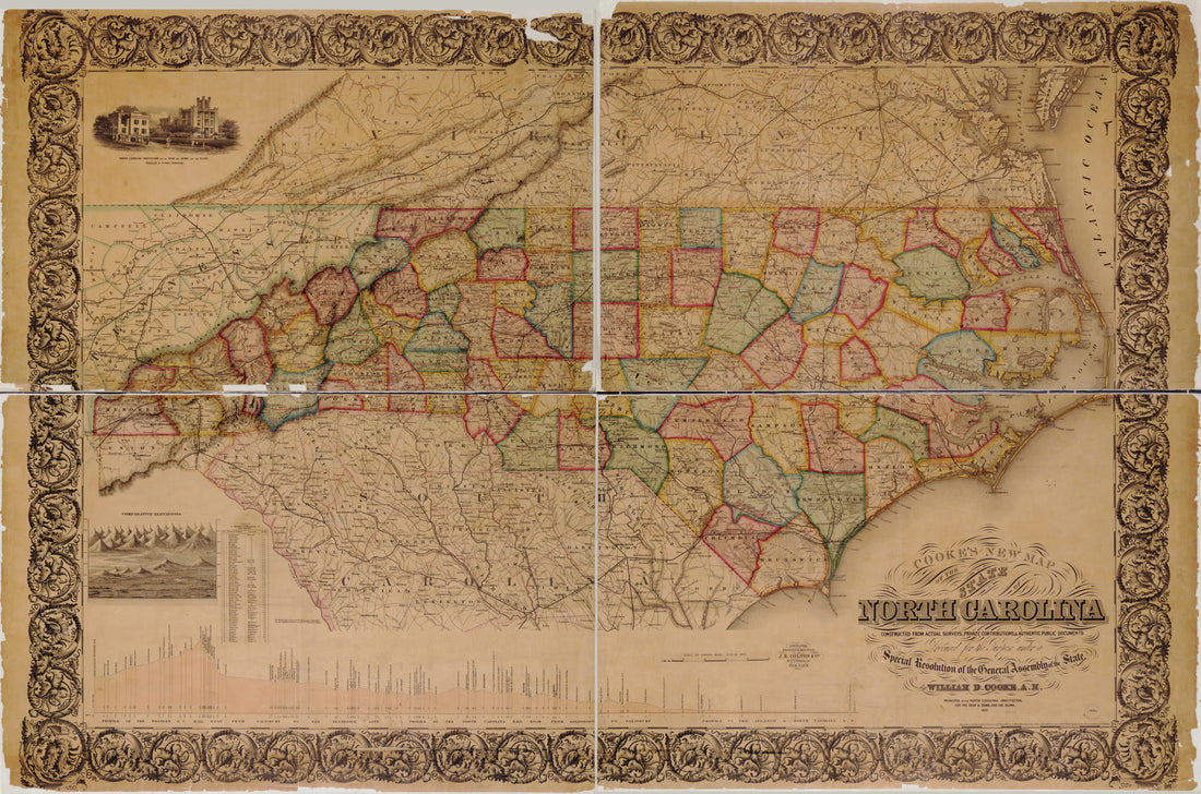 Cooke's New Map of the State of North Carolina : Constructed From Actual Surveys, Private Contributions & Authentic Public Documents Procured for the Purpose Under a Special Resolution of the General Assembly of the State in 1857
- Regular price
-
From
$41.95 - Regular price
-
$66.99 - Sale price
-
From
$41.95
-
Map of the Portland and Ogdensburg Rail Road Line, and Connections 1850
 Map of the Portland and Ogdensburg Rail Road Line, and Connections 1850
- Regular price
-
From
$32.95 - Regular price
-
$51.99 - Sale price
-
From
$32.95
-
Map of Rail Road Surveys from Worcester to Baldwinville & N.H. Line 1845
 Map of Rail Road Surveys from Worcester to Baldwinville & N.H. Line 1845
- Regular price
-
From
$32.95 - Regular price
-
$49.99 - Sale price
-
From
$32.95
-
Union Pacific Rail Road, Map of a Portion of Nebraska Territory, Showing Surveys and Location of Lines by Peter A. Dey, C.E 1865
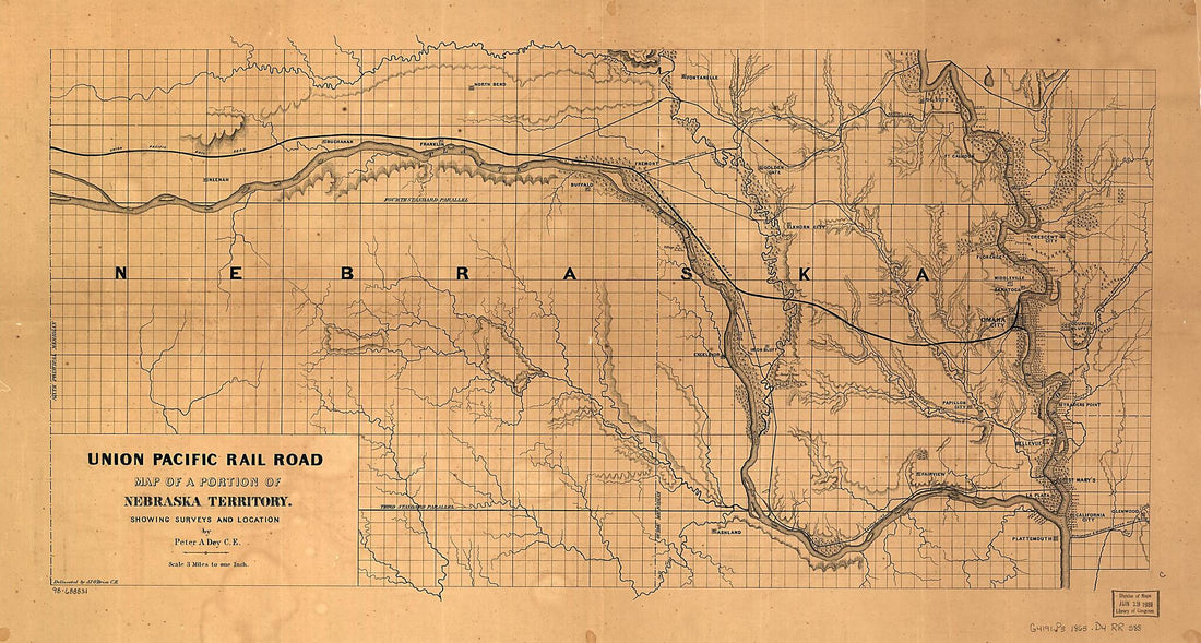 Union Pacific Rail Road, Map of a Portion of Nebraska Territory, Showing Surveys and Location of Lines by Peter A. Dey, C.E 1865
- Regular price
-
From
$41.95 - Regular price
-
$66.99 - Sale price
-
From
$41.95
-
Map Showing the Proposed Tennessee, Alabama, and Georgia Railroad in 1893
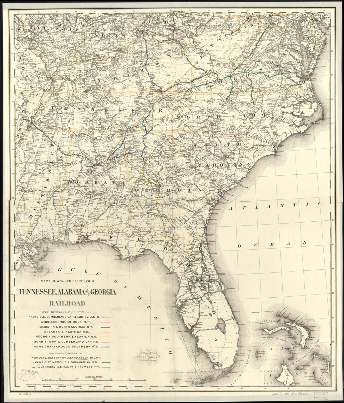 Map Showing the Proposed Tennessee, Alabama, and Georgia Railroad in 1893
- Regular price
-
From
$34.95 - Regular price
-
$49.99 - Sale price
-
From
$34.95
-
Map Showing the Norfolk & Western Railroad and Its Connections 1887
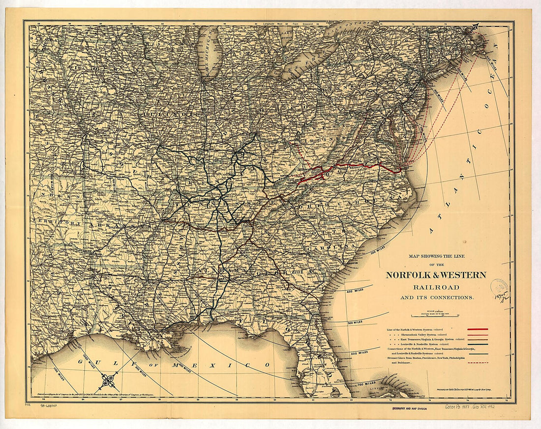 Map Showing the Norfolk & Western Railroad and Its Connections 1887
- Regular price
-
From
$34.95 - Regular price
-
$49.99 - Sale price
-
From
$34.95
-
General Map of the Orange & Alexandria Rail Road and Its Connections North, South, and West 1851
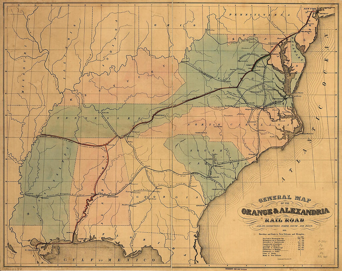 General Map of the Orange & Alexandria Rail Road and Its Connections North, South, and West 1851
- Regular price
-
From
$34.95 - Regular price
-
$49.99 - Sale price
-
From
$34.95
-
Rand McNally & Co's New Railroad and County Map of the United States and Canada. Compiled From the Latest Government Surveys, and Drawn to an Accurate Scale in 1876
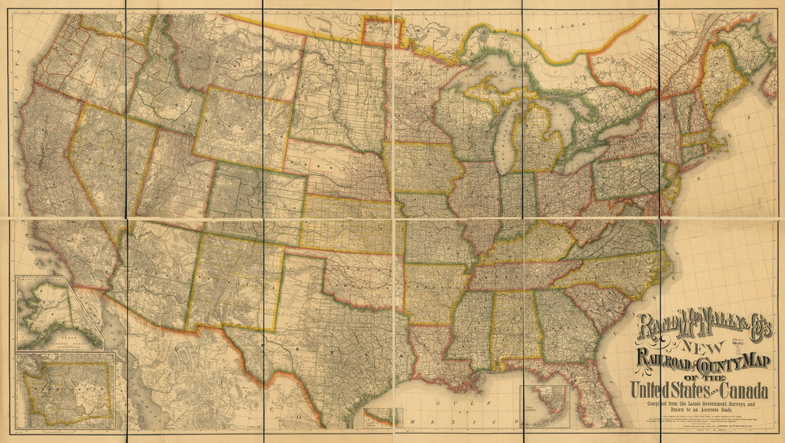 Rand McNally & Co's New Railroad and County Map of the United States and Canada. Compiled From the Latest Government Surveys, and Drawn to an Accurate Scale in 1876
- Regular price
-
From
$41.95 - Regular price
-
$66.99 - Sale price
-
From
$41.95
-
Galbraith's Railway Mail Service Maps, Missouri in 1897
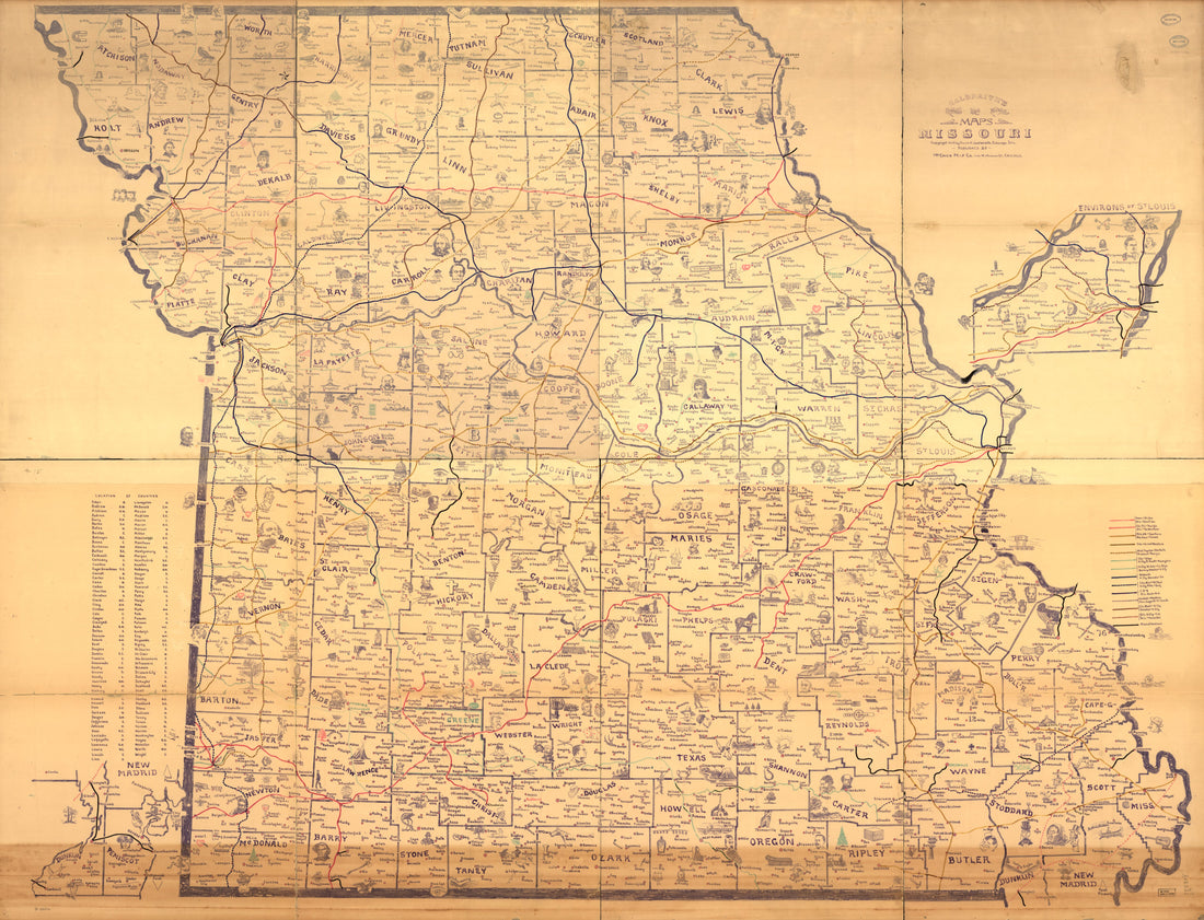 Galbraith's Railway Mail Service Maps, Missouri in 1897
- Regular price
-
From
$32.95 - Regular price
-
$51.99 - Sale price
-
From
$32.95
-
Railroad and Commercial Map of the Northwest in 1884
 Railroad and Commercial Map of the Northwest in 1884
- Regular price
-
From
$34.95 - Regular price
-
$49.99 - Sale price
-
From
$34.95
-
Colton's New Railroad Map of the United States & Canada in 1876
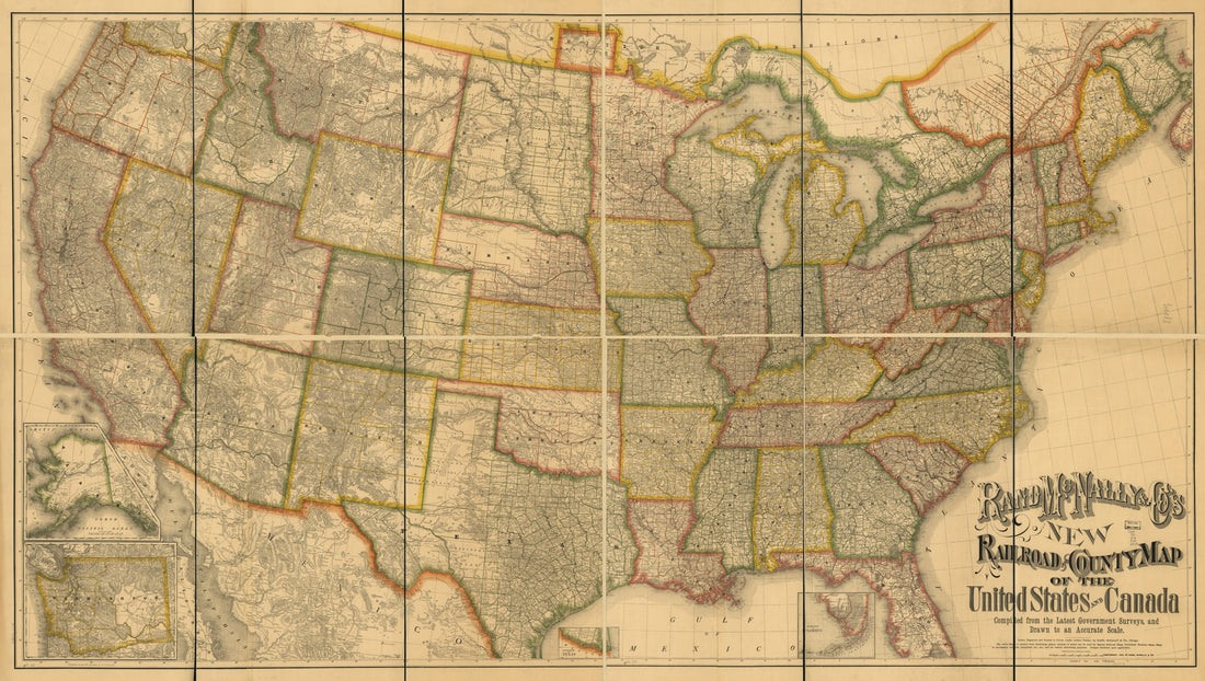 Colton's New Railroad Map of the United States & Canada in 1876
- Regular price
-
From
$41.95 - Regular price
-
$66.99 - Sale price
-
From
$41.95
-
Galbraith's Railway Mail Service Maps, Illinois in 1897
 Galbraith's Railway Mail Service Maps, Illinois in 1897
- Regular price
-
From
$41.95 - Regular price
-
$66.99 - Sale price
-
From
$41.95


