949 products
-
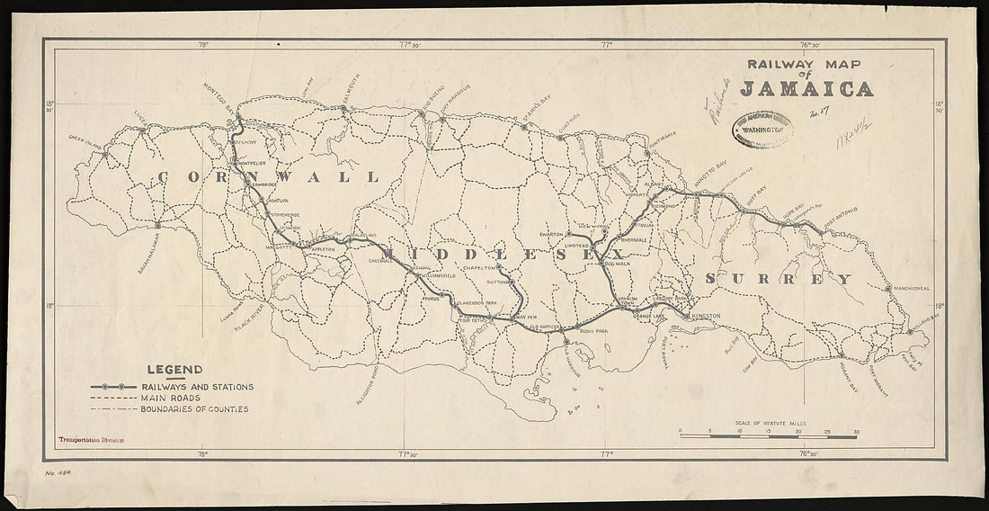 Railway Map of Jamaica 1920Railway Map of Jamaica 1920
- Regular price
-
$46.95 $154.95 - Regular price
-
$41.95 - Sale price
-
$46.95 $154.95
-
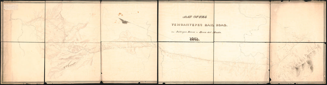 Map of the Tehuantepec Railroad : from Jaltipec River to Boca Del Monte (Tehuantepec Railroad, from Jaltipec River to Boca Del Monte) 1851Map of the Tehuantepec Railroad : from Jaltipec River to Boca Del Monte (Tehuantepec Railroad, from Jaltipec River to Boca Del Monte) 1851
- Regular price
-
$46.95 $369.95 - Regular price
-
$41.95 - Sale price
-
$46.95 $369.95
-
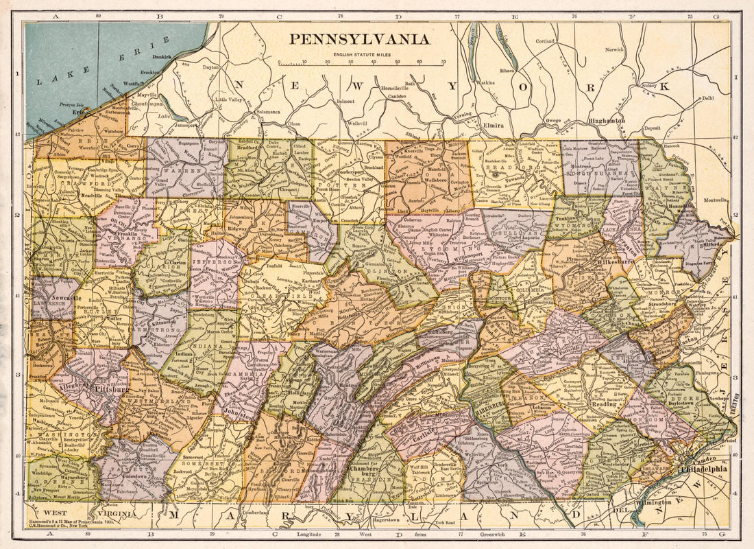
 Pennsylvania. (Hammond's 8 X 11 Map of Pennsylvania 1903)Pennsylvania. (Hammond's 8 X 11 Map of Pennsylvania 1903)
- Regular price
-
$39.95 $88.95 - Regular price
-
$34.95 - Sale price
-
$39.95 $88.95
-
 Map of Virginia, Maryland and Delaware Exhibiting the Post Offices, Post Roads, Canals, Rail Roads &c. (Delaware, Maryland, Virginia) 1839Map of Virginia, Maryland and Delaware Exhibiting the Post Offices, Post Roads, Canals, Rail Roads &c. (Delaware, Maryland, Virginia) 1839
- Regular price
-
$43.95 $196.95 - Regular price
-
$38.95 - Sale price
-
$43.95 $196.95
-
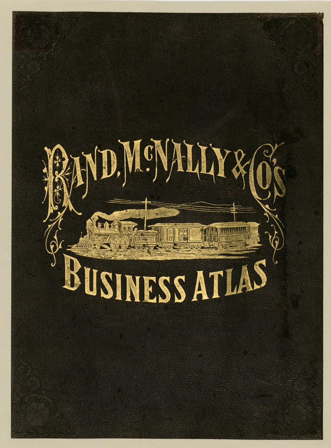
 Rand McNally & Co's Business Atlas : Containing Large Scale Maps of Each State and Territory of the United States, the Provinces of Canada, West India Islands, Etc., Etc., Together With a Complete Reference Map of the World ... Accompanied by a New an...Rand McNally & Co's Business Atlas : Containing Large Scale Maps of Each State and Territory of the United States, the Provinces of Canada, West India Islands, Etc., Etc., Together With a Complete Reference Map of the World ... Accompanied by a New an...
- Regular price
-
$39.95 $88.95 - Regular price
-
$34.95 - Sale price
-
$39.95 $88.95
-
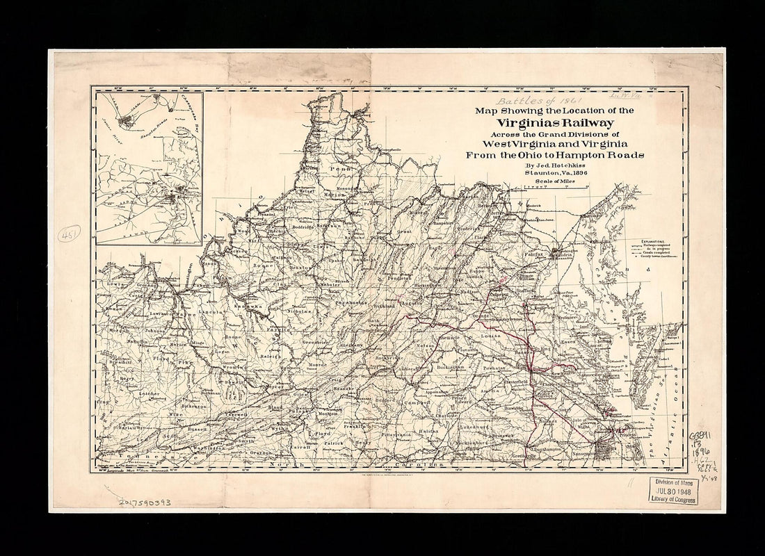 Map Showing the Location of the Virginias Railway Across the Grand Divisions of West Virginia and Virginia from the Ohio to Hampton Roads (Virginias Railway Across the Grand Divisions of West Virginia and Virginia from the Ohio to Hampton Roads) 1896Map Showing the Location of the Virginias Railway Across the Grand Divisions of West Virginia and Virginia from the Ohio to Hampton Roads (Virginias Railway Across the Grand Divisions of West Virginia and Virginia from the Ohio to Hampton Roads) 1896
- Regular price
-
$42.95 $88.95 - Regular price
-
$37.95 - Sale price
-
$42.95 $88.95
-
 Atlas of Plymouth County, Iowa : Containing Maps of Townships of the County, Maps of State, United States and World : Farmers Directory. (Atlas of Plymouth County and the World) 1921Atlas of Plymouth County, Iowa : Containing Maps of Townships of the County, Maps of State, United States and World : Farmers Directory. (Atlas of Plymouth County and the World) 1921
- Regular price
-
$46.95 $99.95 - Regular price
-
$41.95 - Sale price
-
$46.95 $99.95
-
 Railway Map of Jamaica 1920Railway Map of Jamaica 1920
- Regular price
-
$46.95 $99.95 - Regular price
-
$41.95 - Sale price
-
$46.95 $99.95
-
 Pennsylvania. (Hammond's 8 X 11 Map of Pennsylvania 1903)Pennsylvania. (Hammond's 8 X 11 Map of Pennsylvania 1903)
- Regular price
-
$39.95 $88.95 - Regular price
-
$34.95 - Sale price
-
$39.95 $88.95
-
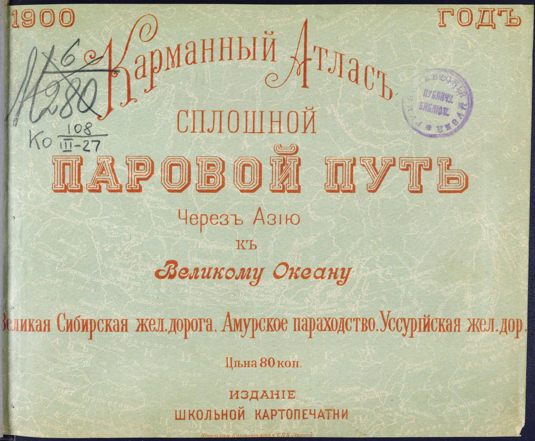 Karmannyĭ Atlas. Sploshnoĭ Parovoĭ Put' Cherez Azii︠u︡ K Velikomu Okeanu. Velikai︠a︡ Sibirskai︠a︡ Zheleznai︠a︡ Doroga. Amurskoe Parokhodstvo. Ussuriĭskai︠a︡ Zheleznai︠a︡ Doroga. (Карманный Атлас. Сплошн�...Karmannyĭ Atlas. Sploshnoĭ Parovoĭ Put' Cherez Azii︠u︡ K Velikomu Okeanu. Velikai︠a︡ Sibirskai︠a︡ Zheleznai︠a︡ Doroga. Amurskoe Parokhodstvo. Ussuriĭskai︠a︡ Zheleznai︠a︡ Doroga. (Карманный Атлас. Сплошн�...
- Regular price
-
$39.95 $83.95 - Regular price
-
$34.95 - Sale price
-
$39.95 $83.95
-
 Map of Virginia, Maryland and Delaware Exhibiting the Post Offices, Post Roads, Canals, Rail Roads &c. (Delaware, Maryland, Virginia) 1839Map of Virginia, Maryland and Delaware Exhibiting the Post Offices, Post Roads, Canals, Rail Roads &c. (Delaware, Maryland, Virginia) 1839
- Regular price
-
$43.95 $215.95 - Regular price
-
$38.95 - Sale price
-
$43.95 $215.95
-
 Rand McNally & Co's Business Atlas : Containing Large Scale Maps of Each State and Territory of the United States, the Provinces of Canada, West India Islands, Etc., Etc., Together With a Complete Reference Map of the World ... Accompanied by a New an...Rand McNally & Co's Business Atlas : Containing Large Scale Maps of Each State and Territory of the United States, the Provinces of Canada, West India Islands, Etc., Etc., Together With a Complete Reference Map of the World ... Accompanied by a New an...
- Regular price
-
$39.95 $88.95 - Regular price
-
$34.95 - Sale price
-
$39.95 $88.95


