949 products
-
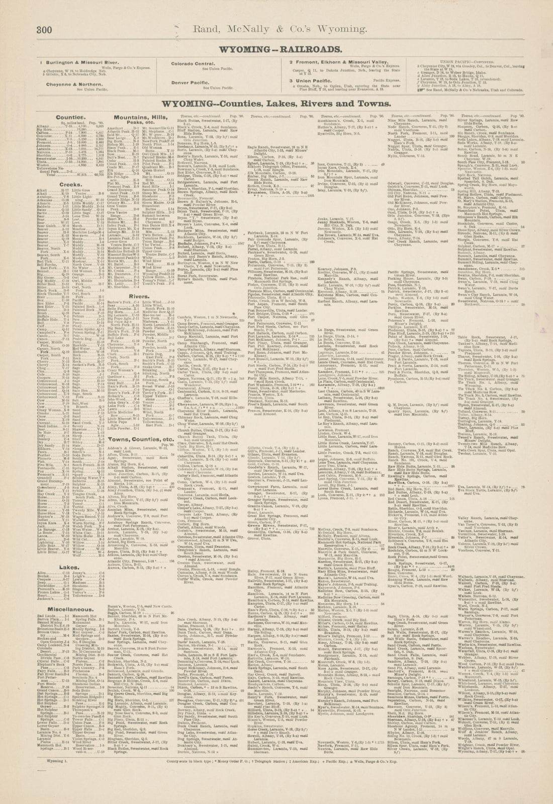 Rand McNally & Co.'s Wyoming. (Rand McNally and Company's Wyoming, Wyoming, Rand, McNally & Co.'s Business Atlas Map of Wyoming) 1891Rand McNally & Co.'s Wyoming. (Rand McNally and Company's Wyoming, Wyoming, Rand, McNally & Co.'s Business Atlas Map of Wyoming) 1891
- Regular price
-
$43.95 $99.95 - Regular price
-
$31.95 - Sale price
-
$43.95 $99.95
-
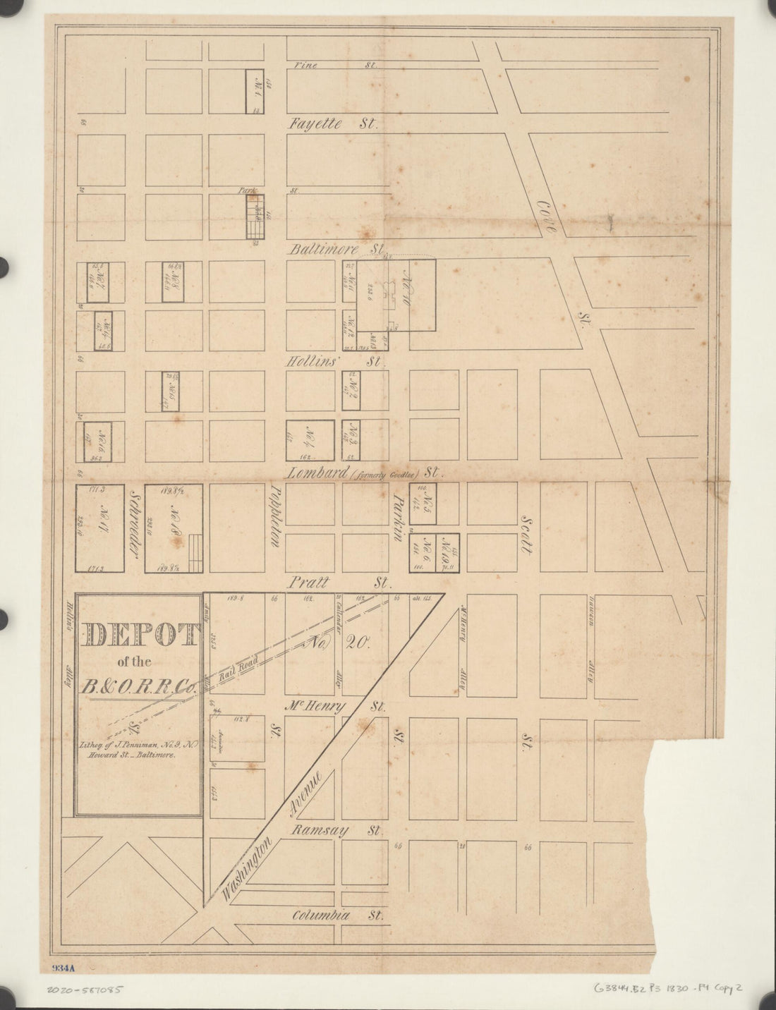 Depot of the B. & O. R.R. Co 1830Depot of the B. & O. R.R. Co 1830
- Regular price
-
$43.95 $88.95 - Regular price
-
$38.95 - Sale price
-
$43.95 $88.95
-
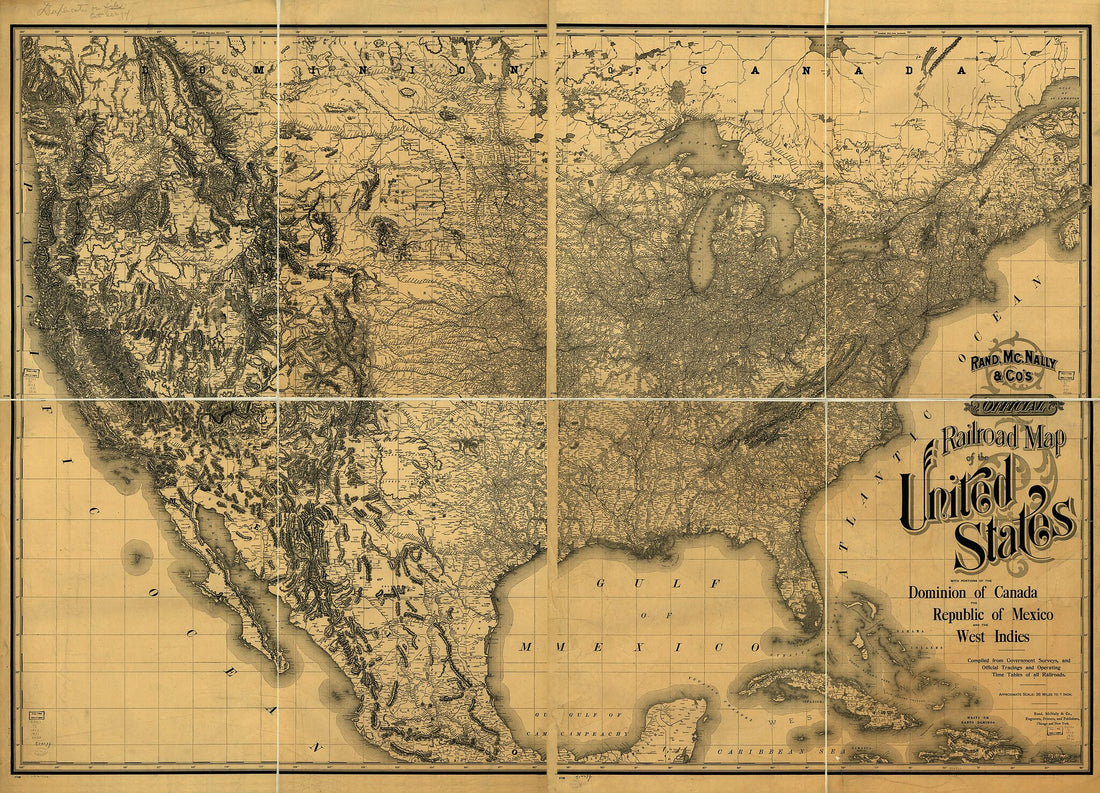 Rand, Mc.Nally & Co's Official Railroad Map of the United States With Portions of the Dominion of Canada, the Republic of Mexico, and the West Indies. Compiled from Government Surveys, and Official Tracings and Operating Time Tables of All Railroads 1893Rand, Mc.Nally & Co's Official Railroad Map of the United States With Portions of the Dominion of Canada, the Republic of Mexico, and the West Indies. Compiled from Government Surveys, and Official Tracings and Operating Time Tables of All Railroads 1893
- Regular price
-
$43.95 $247.95 - Regular price
-
$38.95 - Sale price
-
$43.95 $247.95
-
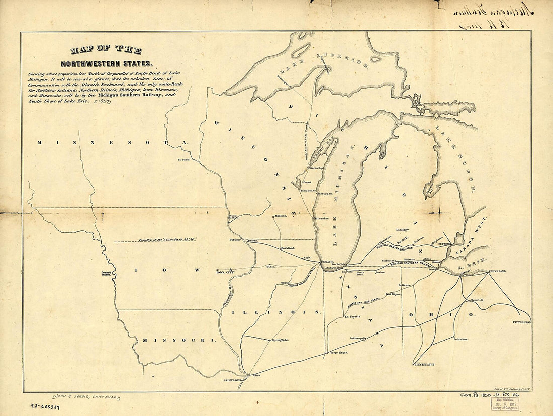 Map of the Northwestern States. Shewing sic What Proportion Lies North of the Parallel of South Bend of Lake Michigan. It Will Be Seen at a Glance, That the Unbroken Line of Communication With the Atlantic Seaboard, and the Only Winter Route for North...Map of the Northwestern States. Shewing sic What Proportion Lies North of the Parallel of South Bend of Lake Michigan. It Will Be Seen at a Glance, That the Unbroken Line of Communication With the Atlantic Seaboard, and the Only Winter Route for North...
- Regular price
-
$43.95 $88.95 - Regular price
-
$38.95 - Sale price
-
$43.95 $88.95
-
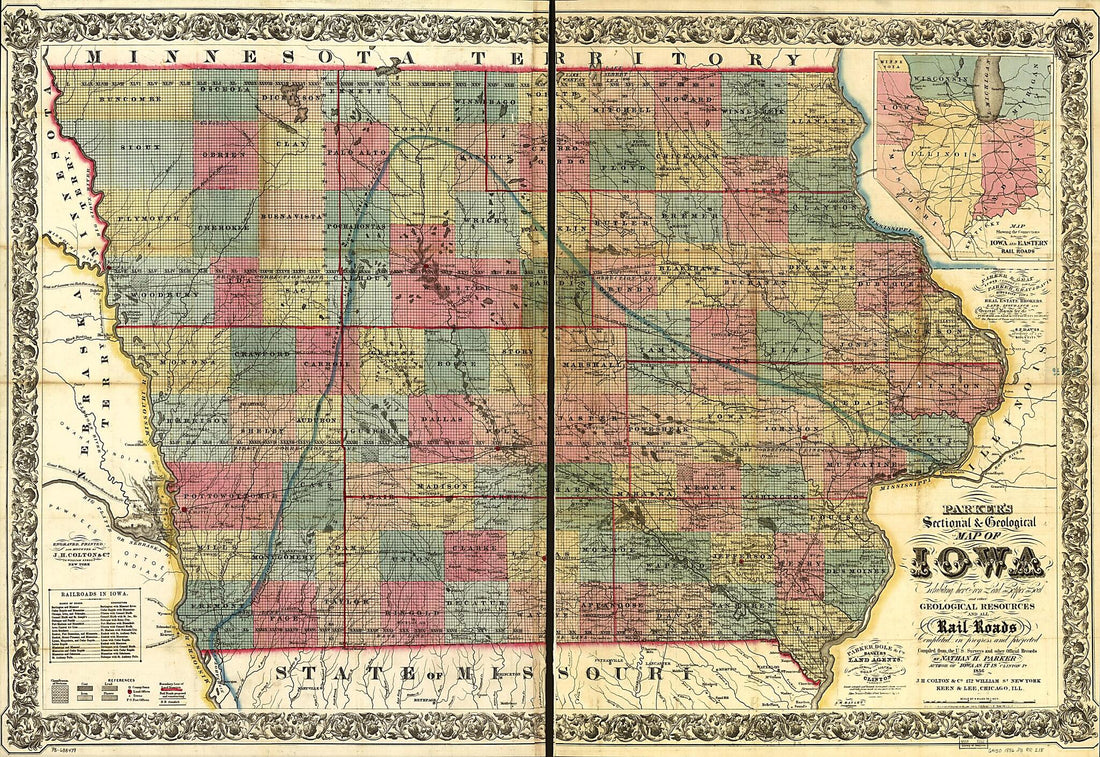 Parker's Sectional & Geological Map of Iowa Exhibiting Her Iron, Lead, Copper, Coal and Other Geological Resources and All Rail Roads Completed In Progress, and Projected Compiled from the U.S. Surveys and Personal Reconnoisance. by Nathan H. Parker A...Parker's Sectional & Geological Map of Iowa Exhibiting Her Iron, Lead, Copper, Coal and Other Geological Resources and All Rail Roads Completed In Progress, and Projected Compiled from the U.S. Surveys and Personal Reconnoisance. by Nathan H. Parker A...
- Regular price
-
$46.95 $156.95 - Regular price
-
$41.95 - Sale price
-
$46.95 $156.95
-
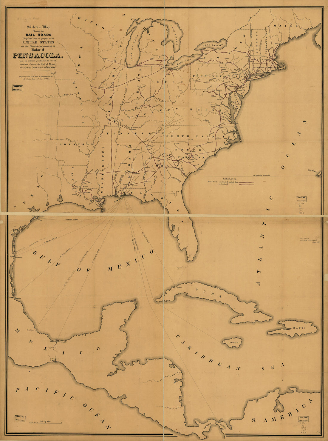 Skeleton Map Showing the Rail Roads Completed and In Progress In the United States and Their Connection As Proposed With the Harbor of Pensacola, and Its Relative Position to the Various Important Ports On the Gulf of Mexico, the Atlantic Coast and In...Skeleton Map Showing the Rail Roads Completed and In Progress In the United States and Their Connection As Proposed With the Harbor of Pensacola, and Its Relative Position to the Various Important Ports On the Gulf of Mexico, the Atlantic Coast and In...
- Regular price
-
$43.95 $179.95 - Regular price
-
$38.95 - Sale price
-
$43.95 $179.95
-
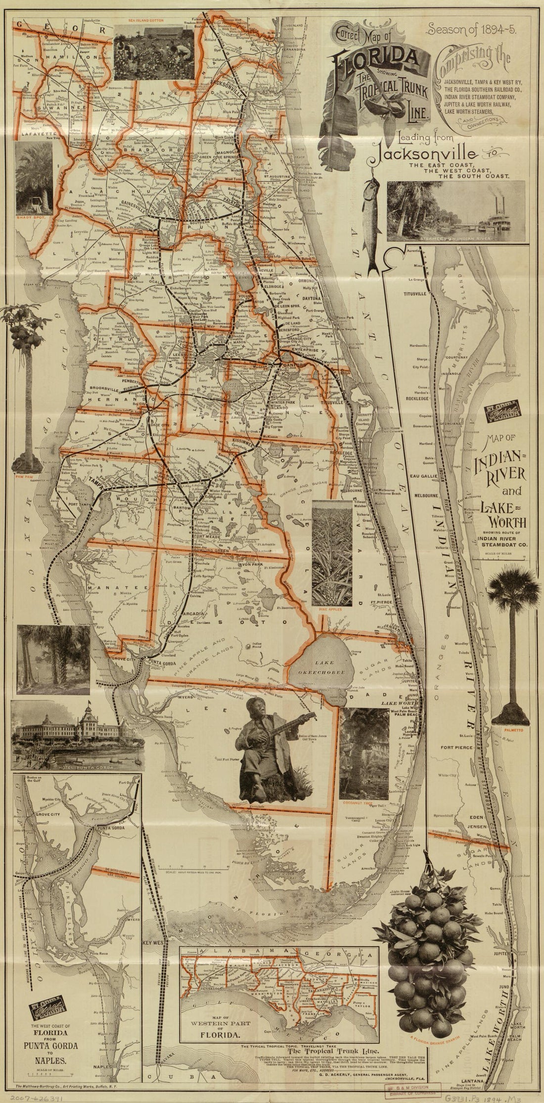 Florida : Showing the Tropical Trunk Line : Comprising the Jacksonville, Tampa & Key West R'y, the Florida Southern Railroad Co., Indian River Steamboat Company, Jupiter & Lake Worth Railway, Lake Worth Steamers, and Connections...Florida : Showing the Tropical Trunk Line : Comprising the Jacksonville, Tampa & Key West R'y, the Florida Southern Railroad Co., Indian River Steamboat Company, Jupiter & Lake Worth Railway, Lake Worth Steamers, and Connections...
- Regular price
-
$46.95 $99.95 - Regular price
-
$41.95 - Sale price
-
$46.95 $99.95
-
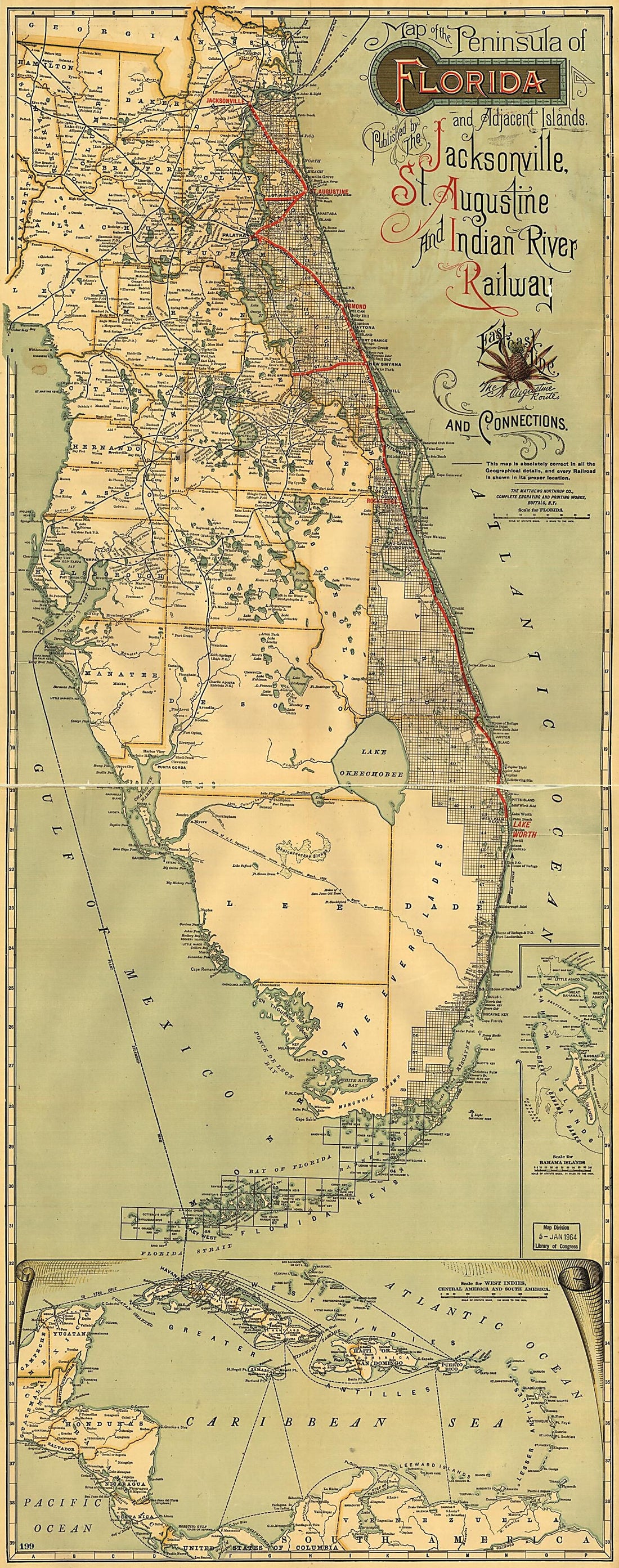 Map of the Peninsula of Florida and Adjacent Islands : East Coast Line, the St. Augustine Routes and Connections. (Jacksonville, St. Augustine, and Indian River Railway) 1893Map of the Peninsula of Florida and Adjacent Islands : East Coast Line, the St. Augustine Routes and Connections. (Jacksonville, St. Augustine, and Indian River Railway) 1893
- Regular price
-
$46.95 $144.95 - Regular price
-
$41.95 - Sale price
-
$46.95 $144.95
-
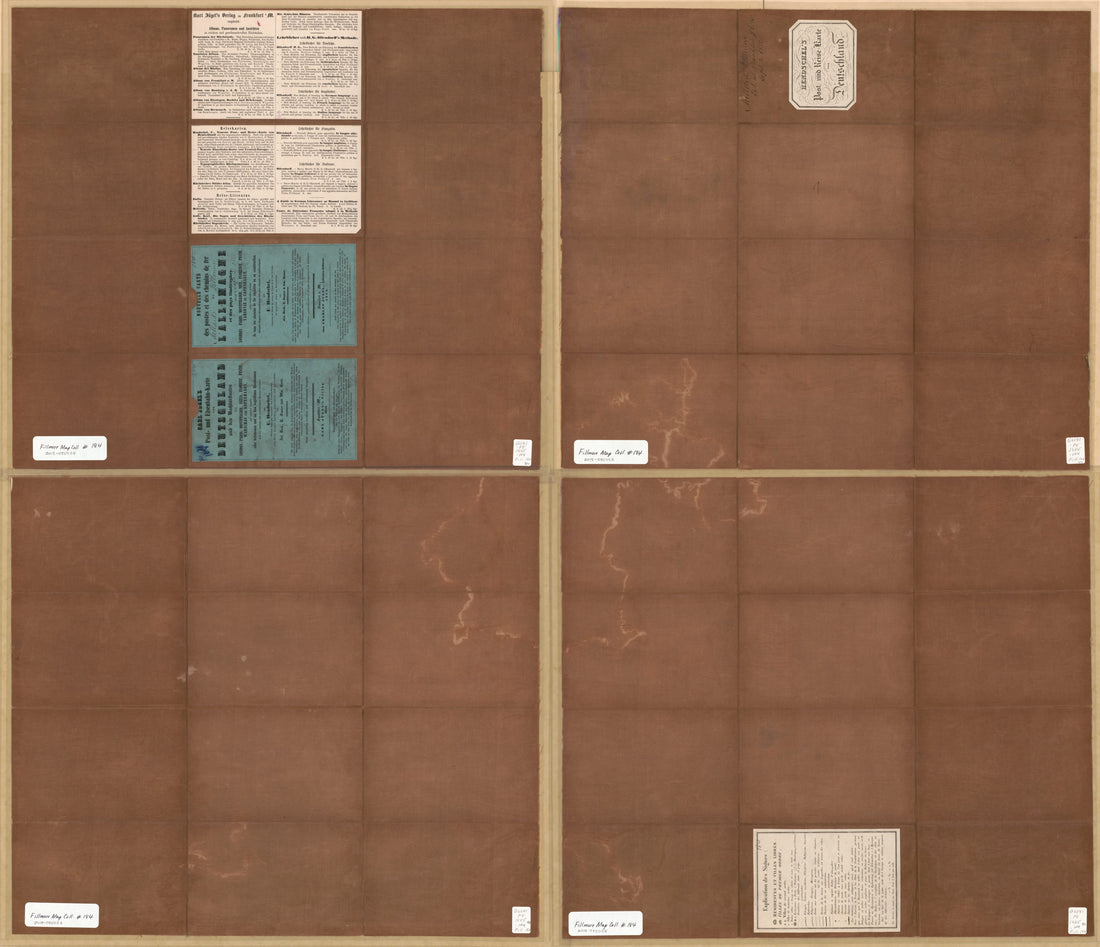 Post U. Reise Karte Von Deutschland, Hendschel's Post Und Reise Karte Von Deutschland, Karte Von Deutschland, Nouvelle Carte Des Postes Et Des Chemins De Fer De L'Allemagne in 1855Post U. Reise Karte Von Deutschland, Hendschel's Post Und Reise Karte Von Deutschland, Karte Von Deutschland, Nouvelle Carte Des Postes Et Des Chemins De Fer De L'Allemagne in 1855
- Regular price
-
$43.95 $211.95 - Regular price
-
$38.95 - Sale price
-
$43.95 $211.95
-
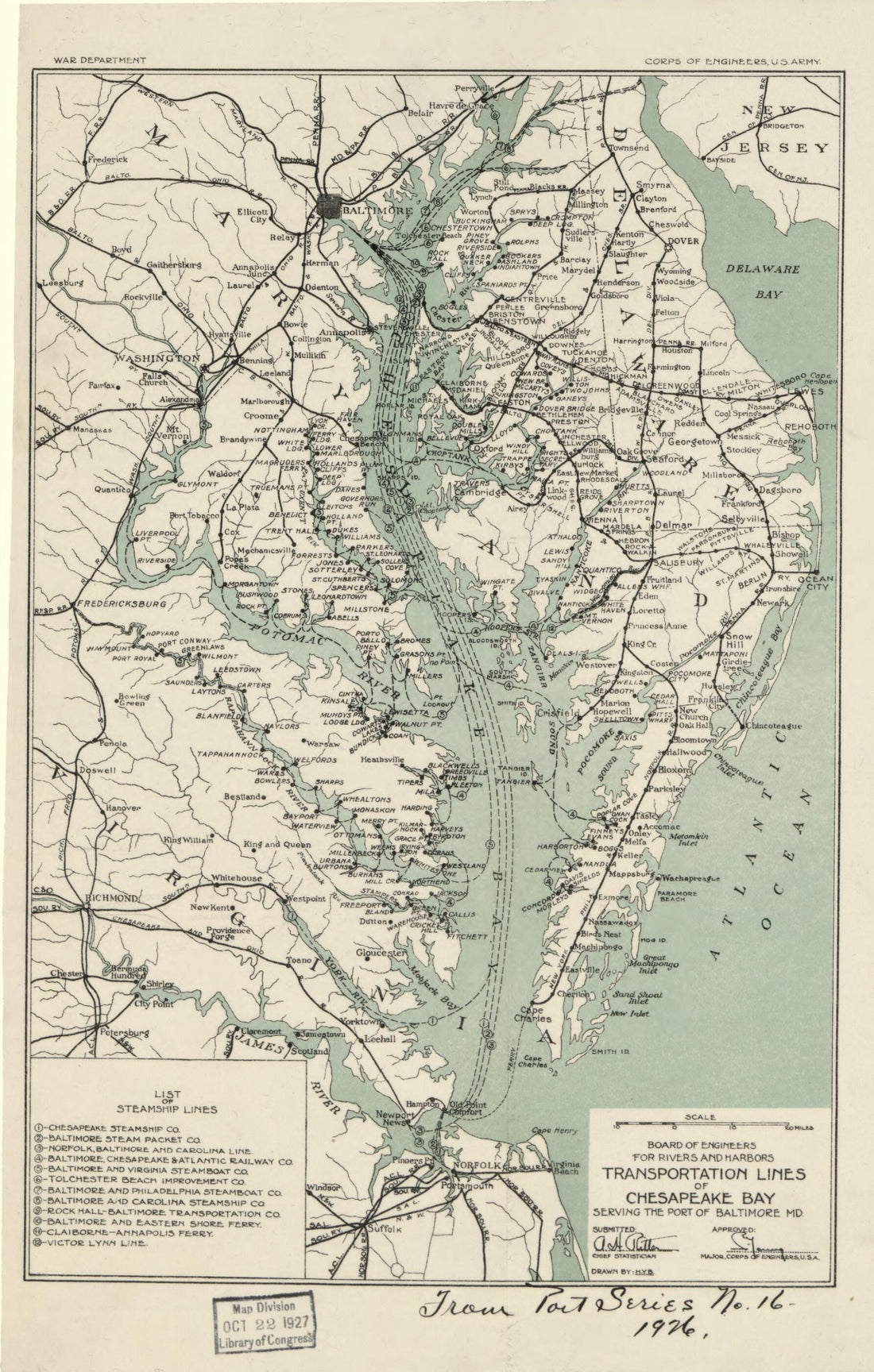 Transportation Lines of Chesapeake Bay Serving the Port of Baltimore MD in 1926Transportation Lines of Chesapeake Bay Serving the Port of Baltimore MD in 1926
- Regular price
-
$39.95 $99.95 - Regular price
-
$34.95 - Sale price
-
$39.95 $99.95
-
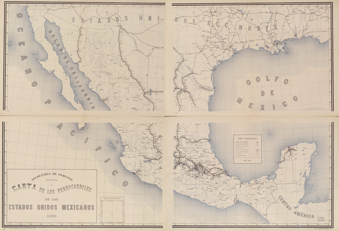 Carta De Los Ferrocarriles De Los Estados Unidos Mexicanos, in 1890Carta De Los Ferrocarriles De Los Estados Unidos Mexicanos, in 1890
- Regular price
-
$46.95 $258.95 - Regular price
-
$41.95 - Sale price
-
$46.95 $258.95
-
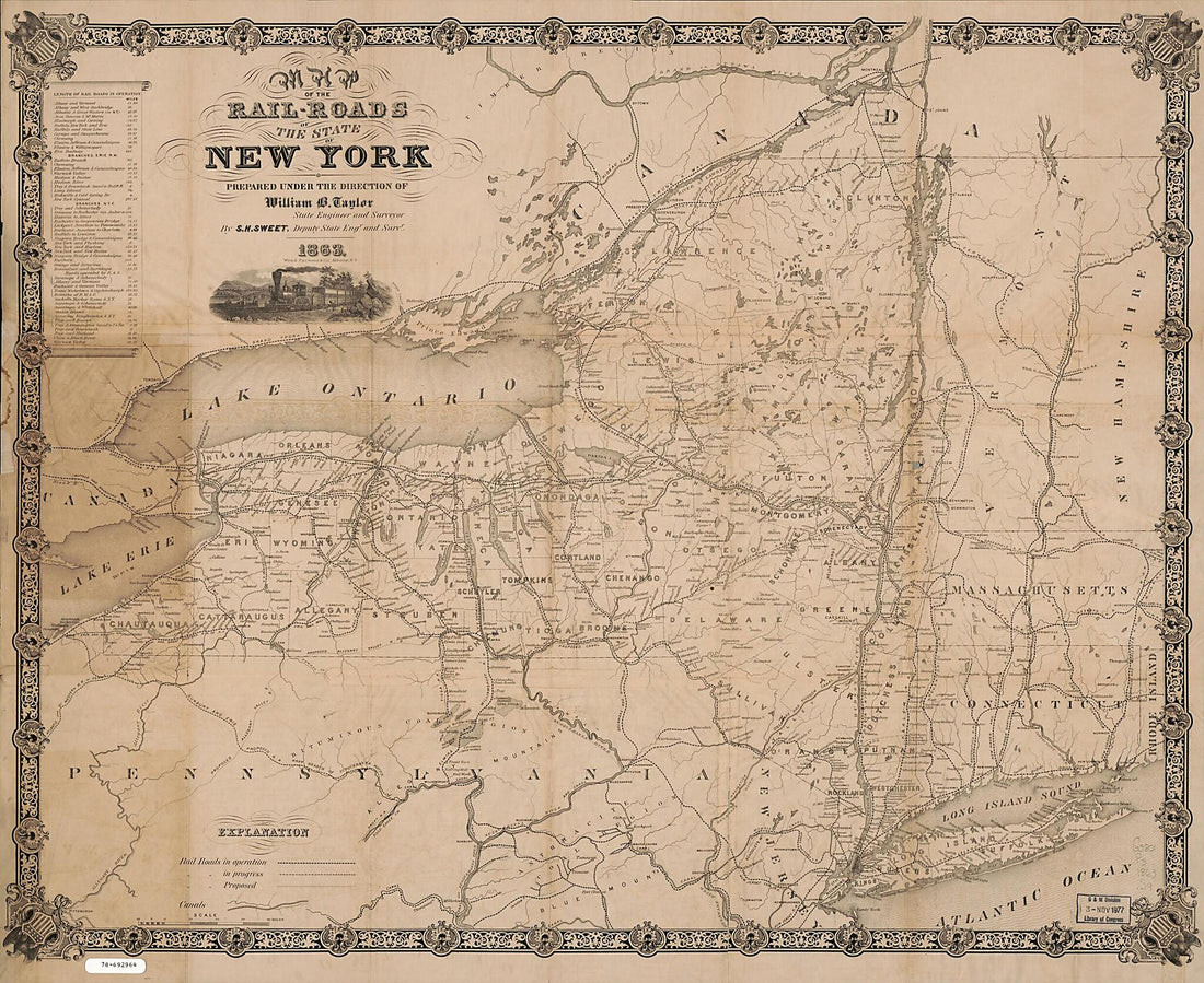 Roads of the State of New York 1863Roads of the State of New York 1863
- Regular price
-
$43.95 $169.95 - Regular price
-
$38.95 - Sale price
-
$43.95 $169.95


