767 products
-
Colton's Railroad & Township Map of New England With Portions of the State of New York, the British Provinces &c in 1852
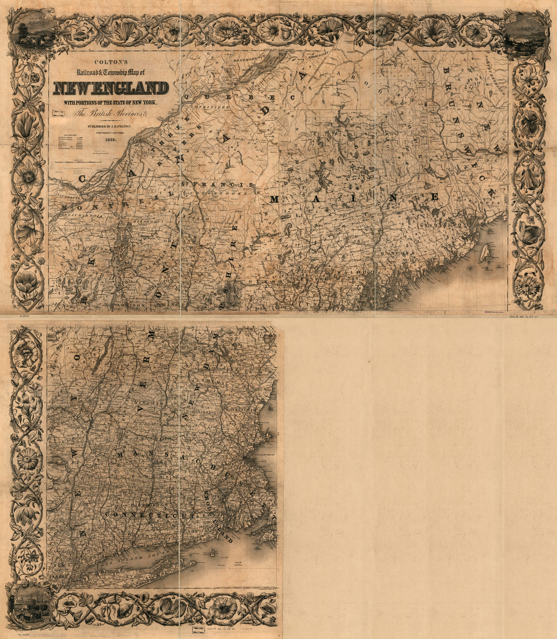 Colton's Railroad & Township Map of New England With Portions of the State of New York, the British Provinces &c in 1852
- Regular price
-
From
$41.95 - Regular price
-
$66.99 - Sale price
-
From
$41.95
-
Cram's Railroad & Township Map of Mississippi (Cram's Railroad and Township Map of Mississippi, Indexed Railroad and Township Map, Mississippi) 1878
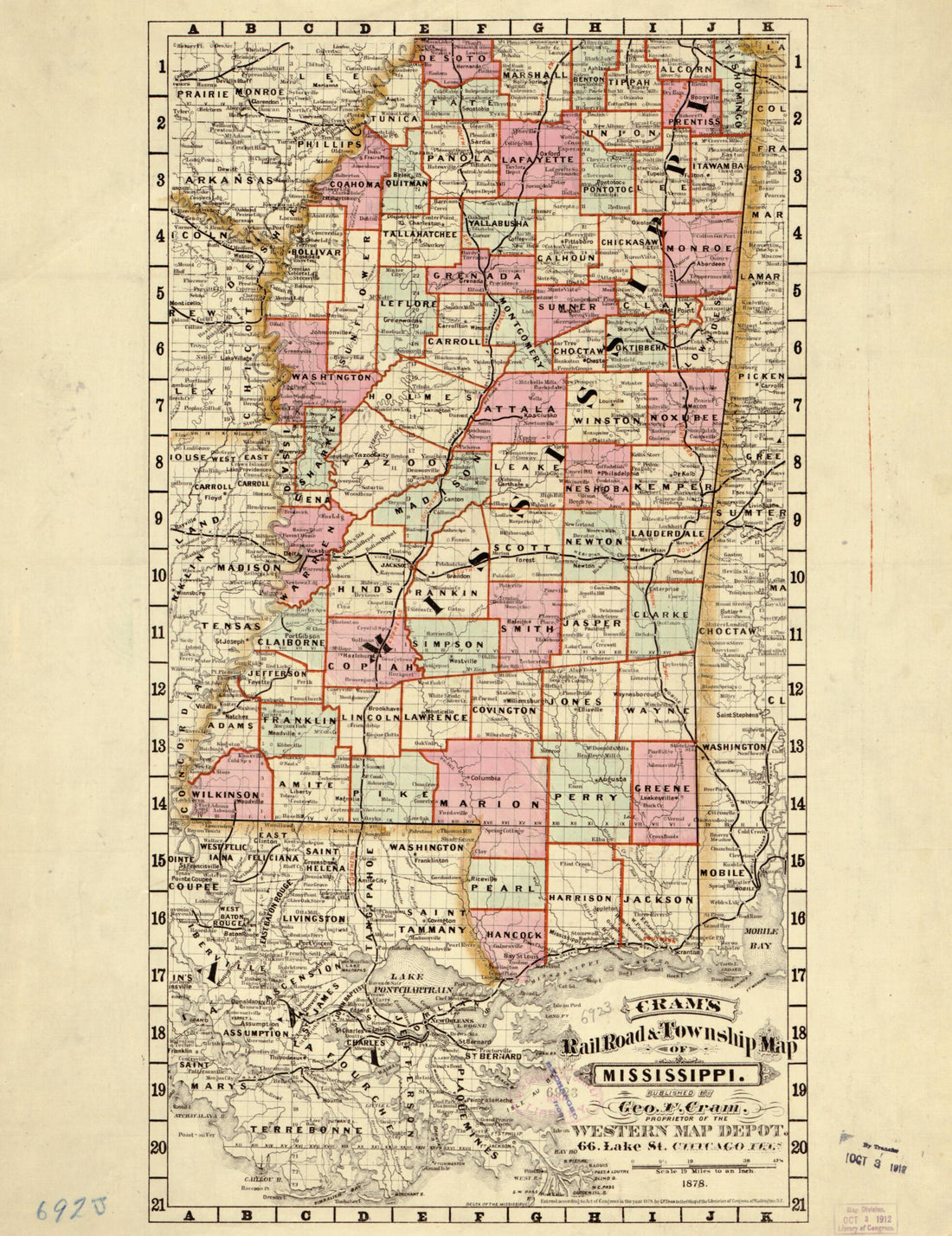 Cram's Railroad & Township Map of Mississippi (Cram's Railroad and Township Map of Mississippi, Indexed Railroad and Township Map, Mississippi) 1878
- Regular price
-
From
$32.95 - Regular price
-
$51.99 - Sale price
-
From
$32.95
-
Rail Road Map of the Southern States Shewing the Southern & Southwestern Railway Connections With Philadelphia in 1861
 Rail Road Map of the Southern States Shewing the Southern & Southwestern Railway Connections With Philadelphia in 1861
- Regular price
-
From
$41.95 - Regular price
-
$66.99 - Sale price
-
From
$41.95
-
Williams' Commercial Map of the United States and Canada With Railroads, Routes, and Distances 1855
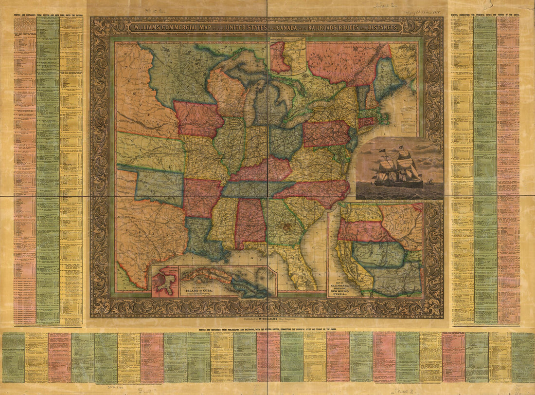 Williams' Commercial Map of the United States and Canada With Railroads, Routes, and Distances 1855
- Regular price
-
From
$32.95 - Regular price
-
$51.99 - Sale price
-
From
$32.95
-
The Santa Fé Route and Connections, 1888
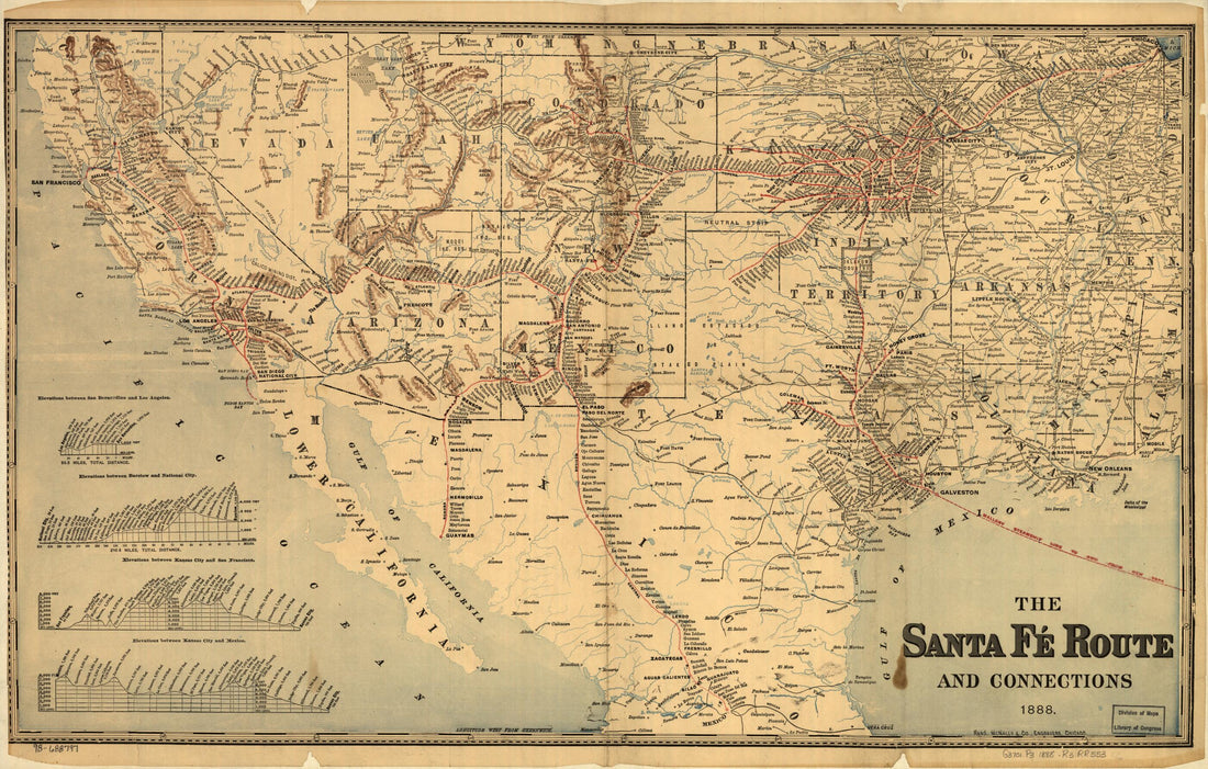 The Santa Fé Route and Connections, 1888
- Regular price
-
From
$41.95 - Regular price
-
$64.95 - Sale price
-
From
$41.95
-
Cram's Rail Road and Township Map of Nebraska 1879
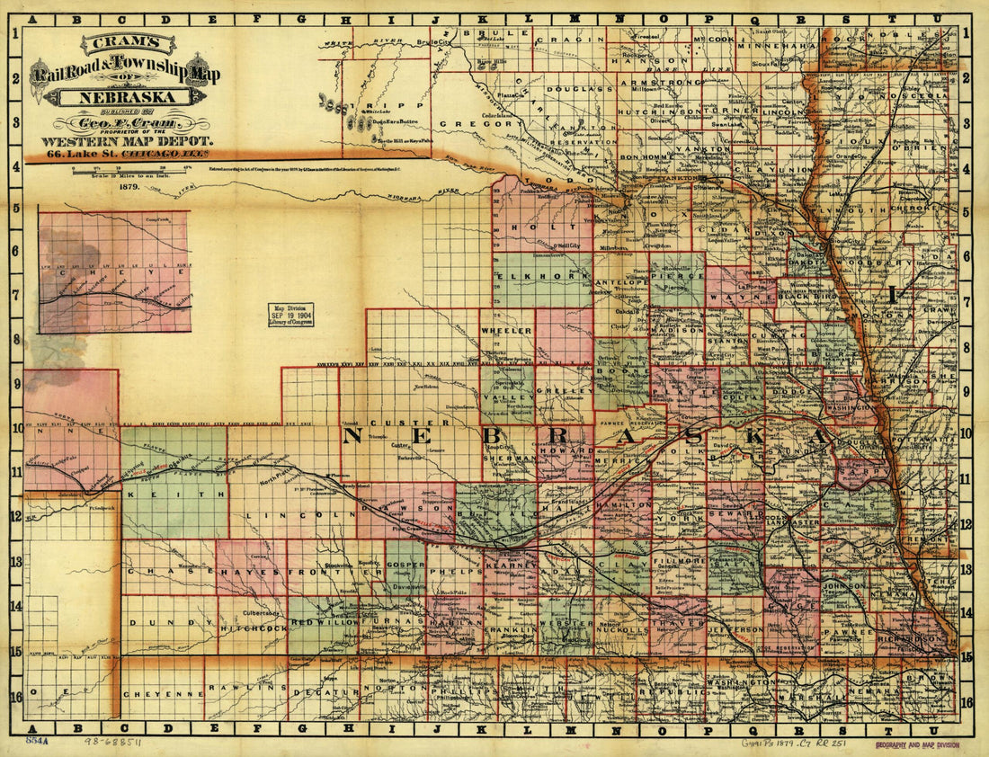 Cram's Rail Road and Township Map of Nebraska 1879
- Regular price
-
From
$32.95 - Regular price
-
$51.99 - Sale price
-
From
$32.95
-
Map of the State of Florida Showing the Progress of the Surveys Accompanying Annual Report of the Surveyor General for 1859
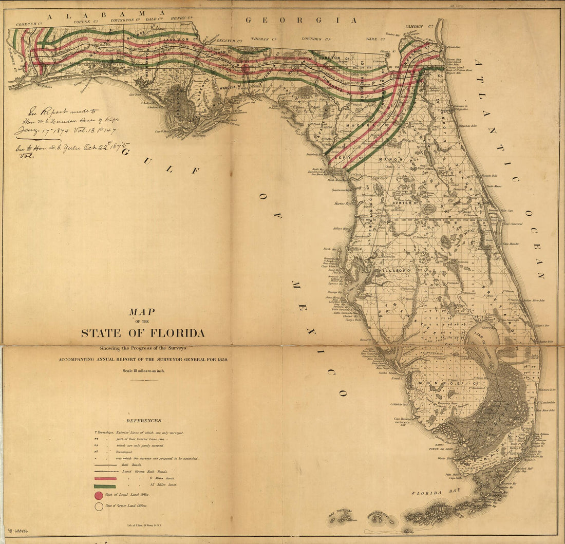 Map of the State of Florida Showing the Progress of the Surveys Accompanying Annual Report of the Surveyor General for 1859
- Regular price
-
From
$34.95 - Regular price
-
$49.99 - Sale price
-
From
$34.95
-
Gray's New Trunk Railway Map of the United States, Dom. of Canada and Portion of Mexico. Compiled From Latest Official Sources, Showing Carefully Selected List of Cities & Town In Readable Type for Quick Reference in 1898
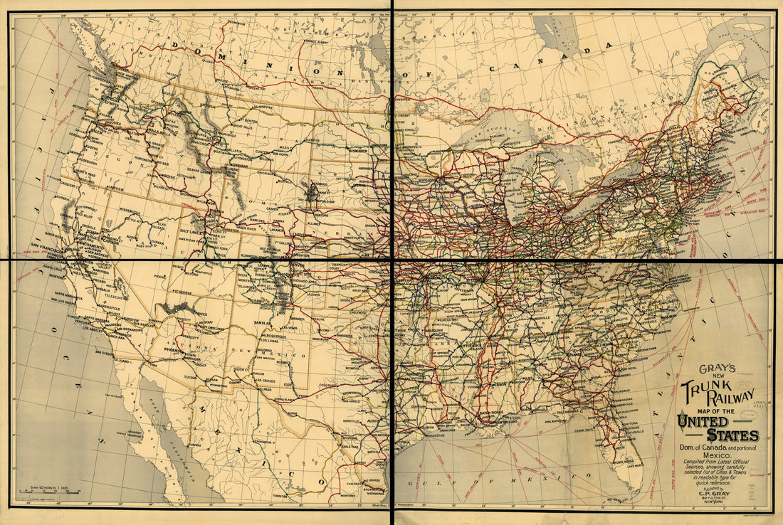 Gray's New Trunk Railway Map of the United States, Dom. of Canada and Portion of Mexico. Compiled From Latest Official Sources, Showing Carefully Selected List of Cities & Town In Readable Type for Quick Reference in 1898
- Regular price
-
From
$41.95 - Regular price
-
$66.99 - Sale price
-
From
$41.95
-
A New Map of Central America : Shewing the Different Lines of Atlantic & Pacific Communication (Central America) 1851
 A New Map of Central America : Shewing the Different Lines of Atlantic & Pacific Communication (Central America) 1851
- Regular price
-
From
$32.95 - Regular price
-
$51.99 - Sale price
-
From
$32.95
-
A Map Showing the Rail Road Connection Between Pottsville & Sunbury Through the Schuylkill Mahanoy and Shamokin Coal Fields, July 9th 1852
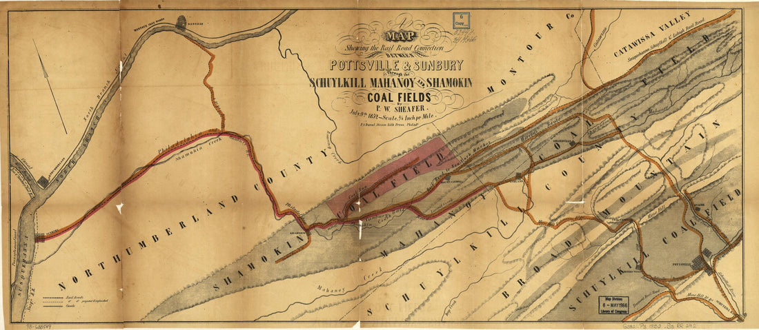 A Map Showing the Rail Road Connection Between Pottsville & Sunbury Through the Schuylkill Mahanoy and Shamokin Coal Fields, July 9th 1852
- Regular price
-
From
$41.95 - Regular price
-
$65.95 - Sale price
-
From
$41.95
-
Map of the Philadelphia and Erie Railway, Branches and Connecting Lines 1871
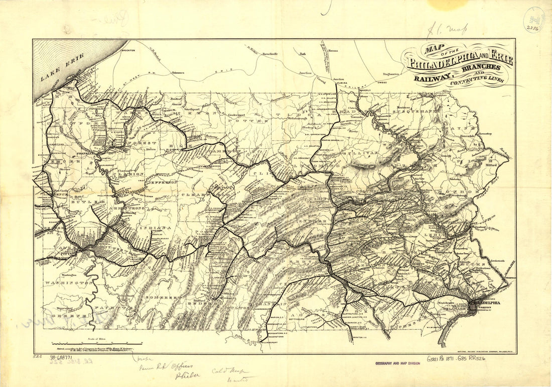 Map of the Philadelphia and Erie Railway, Branches and Connecting Lines 1871
- Regular price
-
From
$38.95 - Regular price
-
$60.95 - Sale price
-
From
$38.95


