949 products
-
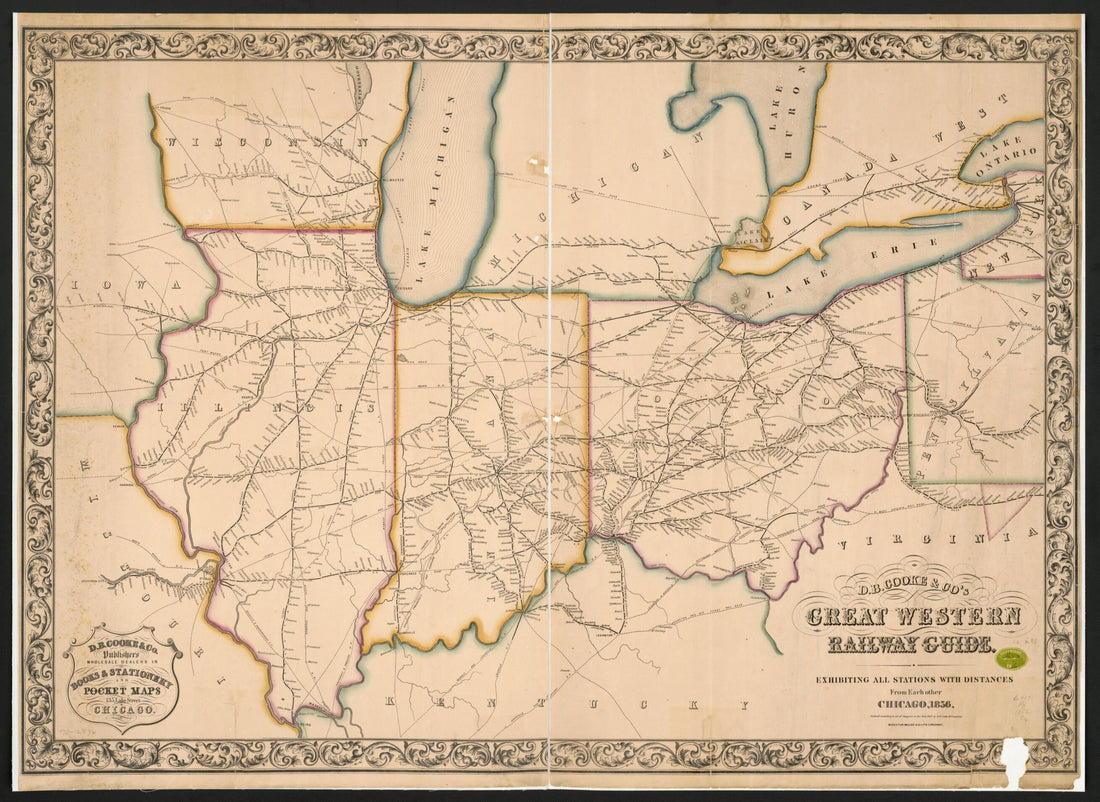 D.B. Cooke & Co's Great Western Railway Guide Exhibiting All Stations With Distances from Each Other 1856D.B. Cooke & Co's Great Western Railway Guide Exhibiting All Stations With Distances from Each Other 1856
- Regular price
-
$43.95 $130.95 - Regular price
-
$32.95 - Sale price
-
$43.95 $130.95
-
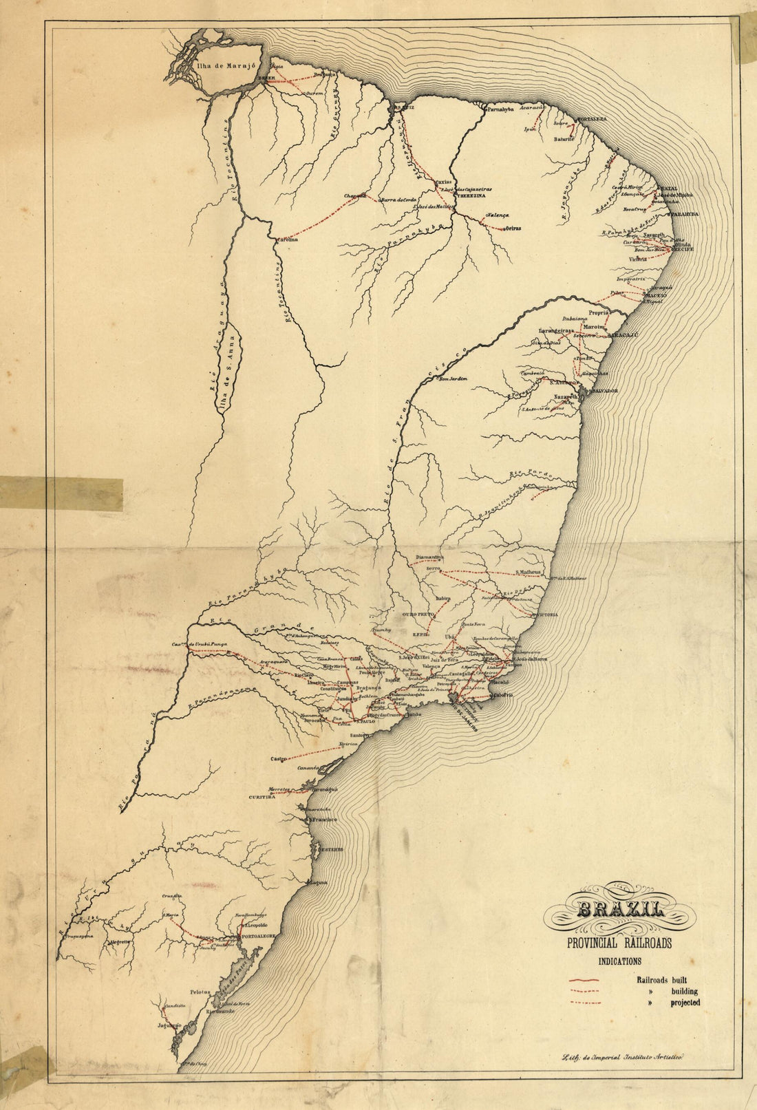 Brazil, Provincial Railroads 1902Brazil, Provincial Railroads 1902
- Regular price
-
$43.95 $99.95 - Regular price
-
$32.95 - Sale price
-
$43.95 $99.95
-
 Map of the Railroads of the State of Maine Accompanying the Report of the Railroad Commissioners. 1899Map of the Railroads of the State of Maine Accompanying the Report of the Railroad Commissioners. 1899
- Regular price
-
$39.95 $117.95 - Regular price
-
$34.95 - Sale price
-
$39.95 $117.95
-
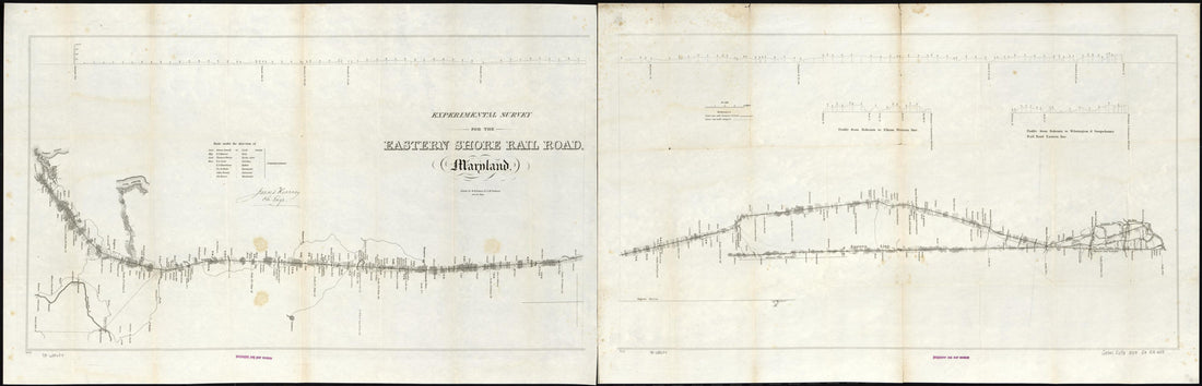 Experimental Survey for the Eastern Shore Rail Road, Maryland, Drawn by W. H. Emory & J. McClelland Asst. Civ. Engs., Made Under the Direction of James Kearney 1853Experimental Survey for the Eastern Shore Rail Road, Maryland, Drawn by W. H. Emory & J. McClelland Asst. Civ. Engs., Made Under the Direction of James Kearney 1853
- Regular price
-
$46.95 $122.95 - Regular price
-
$41.95 - Sale price
-
$46.95 $122.95
-
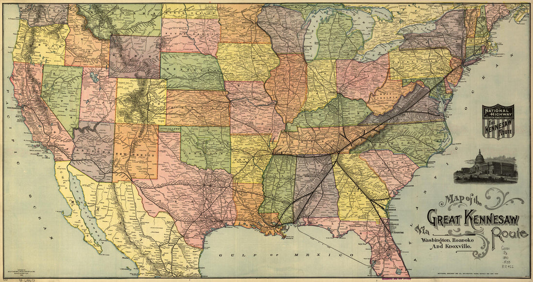 Map of the Great Kennesaw Route Via Washington, Roanoke And, Knoxville 1890Map of the Great Kennesaw Route Via Washington, Roanoke And, Knoxville 1890
- Regular price
-
$46.95 $99.95 - Regular price
-
$41.95 - Sale price
-
$46.95 $99.95
-
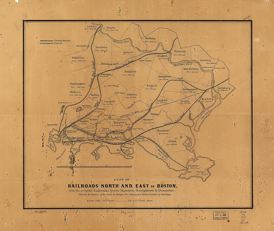 Plan of Railroads North and East of Boston, With the Projected Railroads from Danvers, Georgetown & Gloucester; Showing the Situation of the Towns & Villages, Their Distance from Boston & Number of Inhabitants 1850Plan of Railroads North and East of Boston, With the Projected Railroads from Danvers, Georgetown & Gloucester; Showing the Situation of the Towns & Villages, Their Distance from Boston & Number of Inhabitants 1850
- Regular price
-
$39.95 $90.95 - Regular price
-
$34.95 - Sale price
-
$39.95 $90.95
-
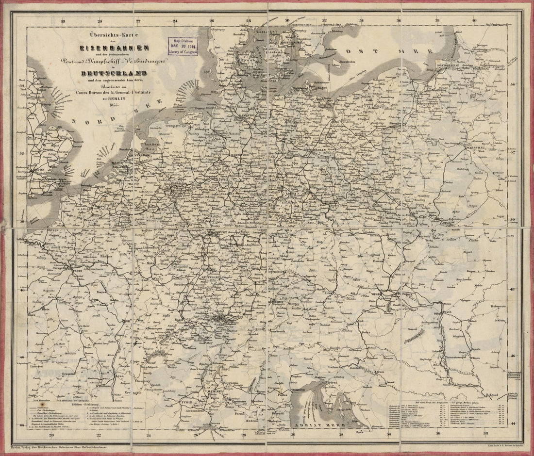 Karte Der Eisenbahnen Und Der Bedeutenderen Post- Und Dampfschiff-Verbindungen In Deutschland : Und Den Angrenzenden Ländern (European Rail Roads, European R. Roads 1855)Karte Der Eisenbahnen Und Der Bedeutenderen Post- Und Dampfschiff-Verbindungen In Deutschland : Und Den Angrenzenden Ländern (European Rail Roads, European R. Roads 1855)
- Regular price
-
$39.95 $83.95 - Regular price
-
$30.95 - Sale price
-
$39.95 $83.95
-
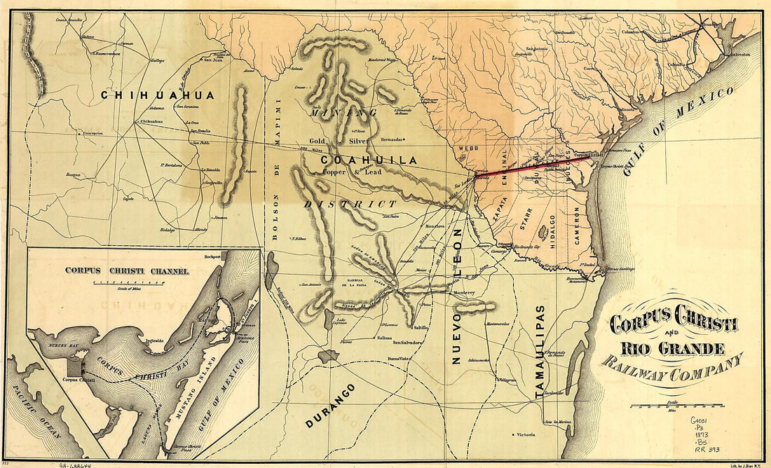 Corpus Christi and Rio Grande Railway Company, map Showing the Proposed Railroad Between Laredo and Corpus Christi and Its Connections With Mexico 1873Corpus Christi and Rio Grande Railway Company, map Showing the Proposed Railroad Between Laredo and Corpus Christi and Its Connections With Mexico 1873
- Regular price
-
$44.95 $99.95 - Regular price
-
$39.95 - Sale price
-
$44.95 $99.95
-
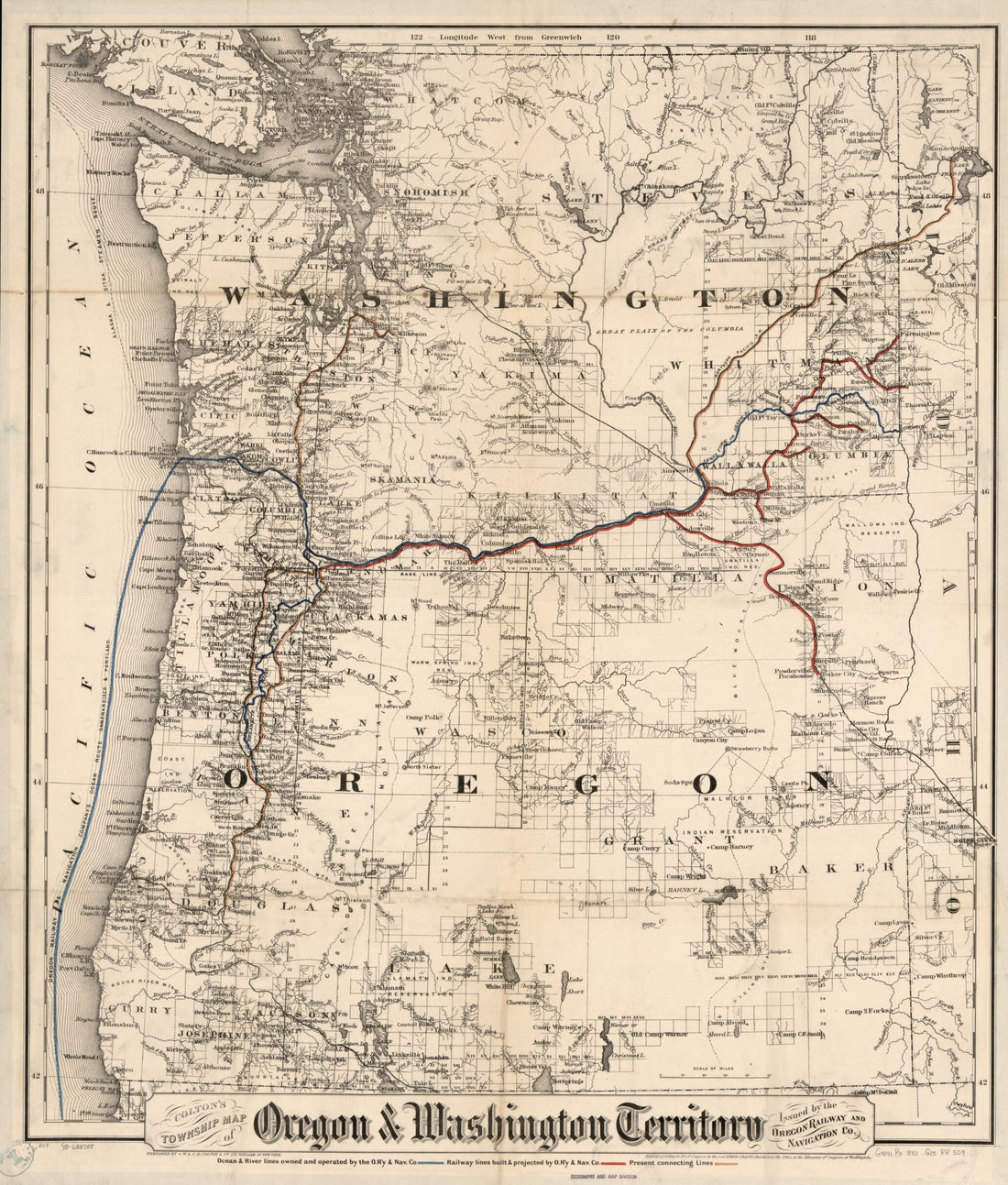 Colton's Township Map of Oregon & Washington Territory, Issued by the Oregon Railway and Navigation Co 1880Colton's Township Map of Oregon & Washington Territory, Issued by the Oregon Railway and Navigation Co 1880
- Regular price
-
$39.95 $95.95 - Regular price
-
$34.95 - Sale price
-
$39.95 $95.95
-
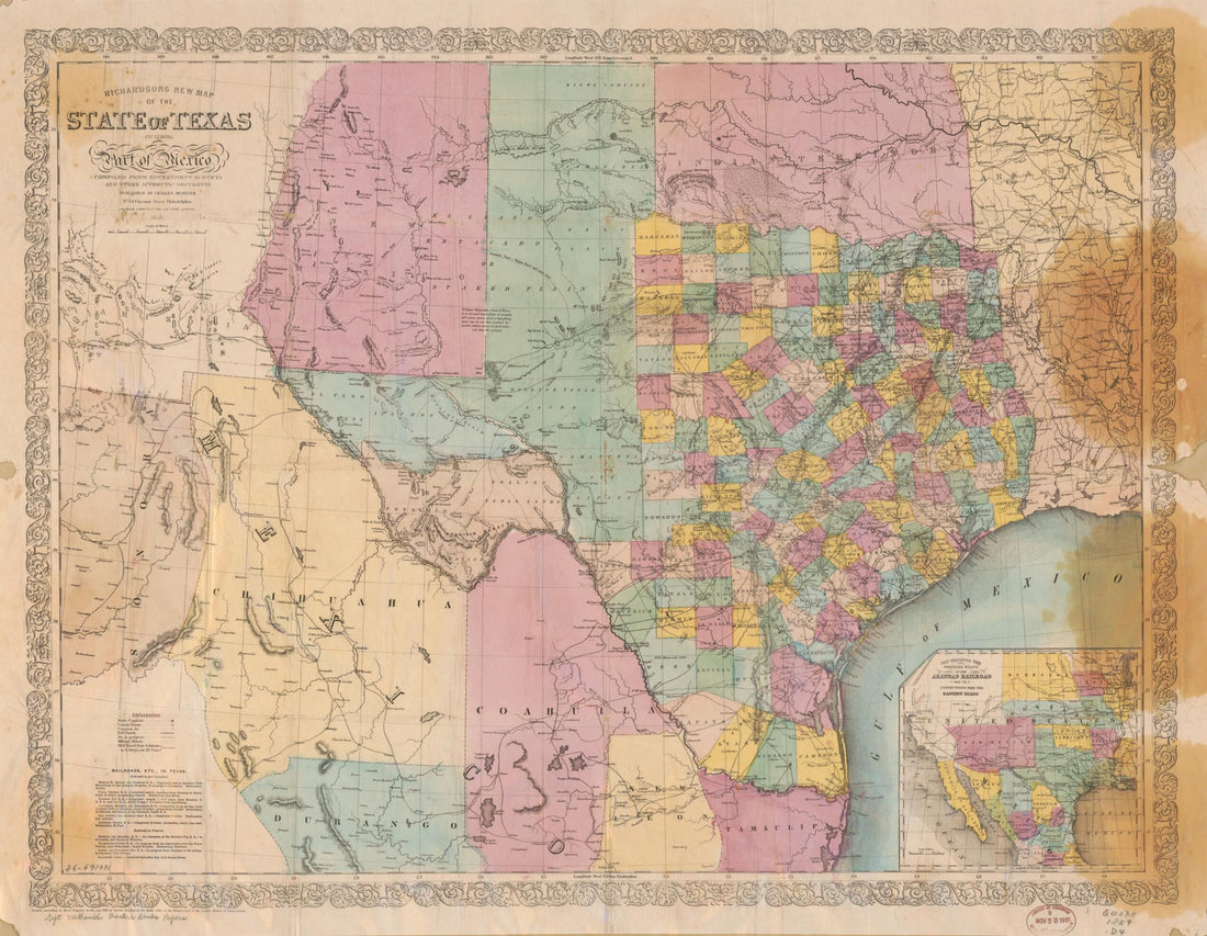 Richardsons New Map of the State of Texas, Including Part of Mexico 1859Richardsons New Map of the State of Texas, Including Part of Mexico 1859
- Regular price
-
$43.95 $94.95 - Regular price
-
$32.95 - Sale price
-
$43.95 $94.95
-
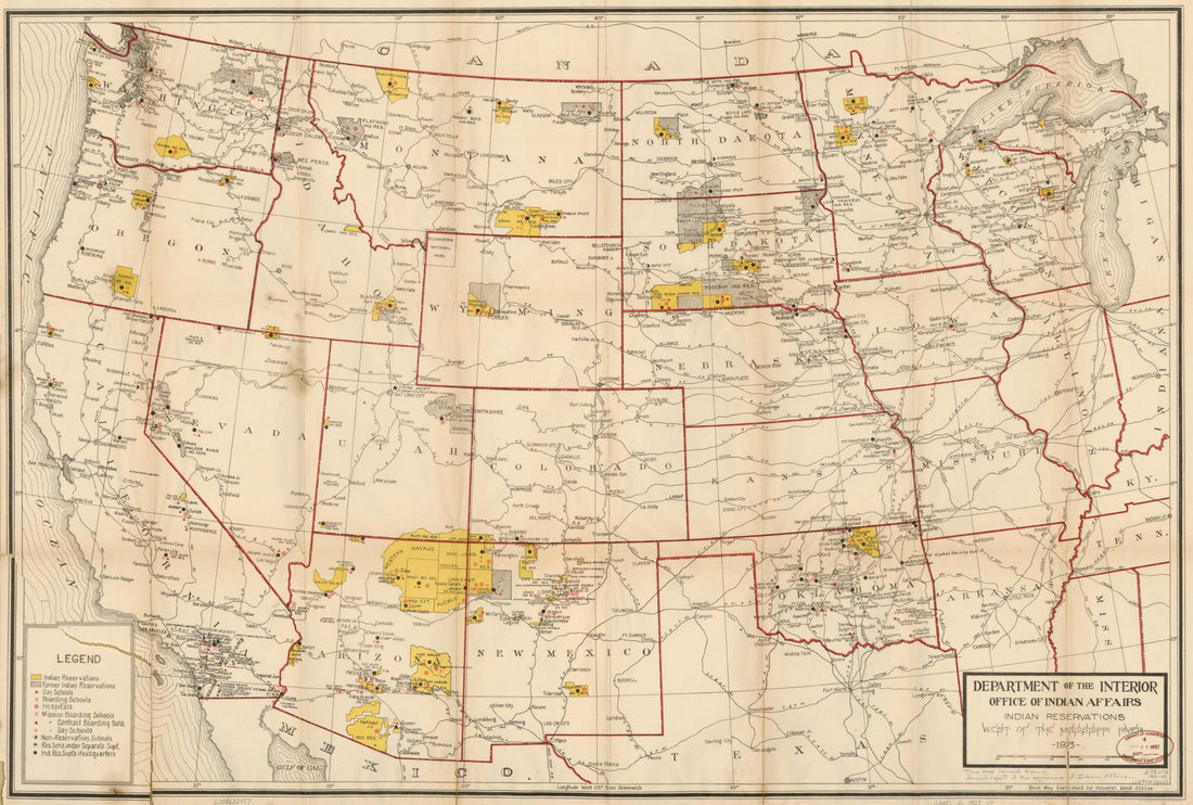 Indian Reservations West of the Mississippi River 1923Indian Reservations West of the Mississippi River 1923
- Regular price
-
$46.95 $109.95 - Regular price
-
$41.95 - Sale price
-
$46.95 $109.95
-
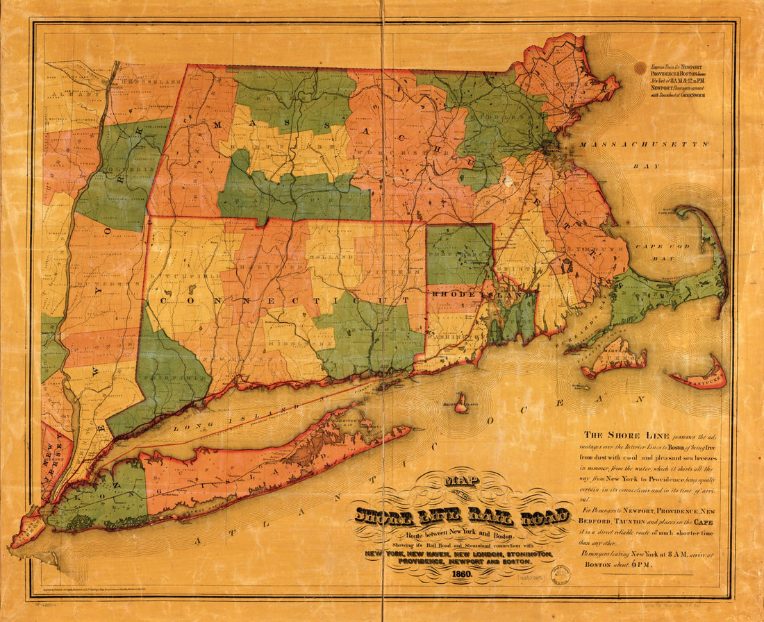 Map of the Shore Line Rail Road Route Between New York and Boston, Showing Its Rail Road and Steamboat Connection With New York, New Haven, New London, Stonington, Providence, Newport, and Boston 1860Map of the Shore Line Rail Road Route Between New York and Boston, Showing Its Rail Road and Steamboat Connection With New York, New Haven, New London, Stonington, Providence, Newport, and Boston 1860
- Regular price
-
$39.95 $121.95 - Regular price
-
$34.95 - Sale price
-
$39.95 $121.95


