917 products
-
Topographic Map of Mesa Verde National Park : Montezuma County, Colorado 1915
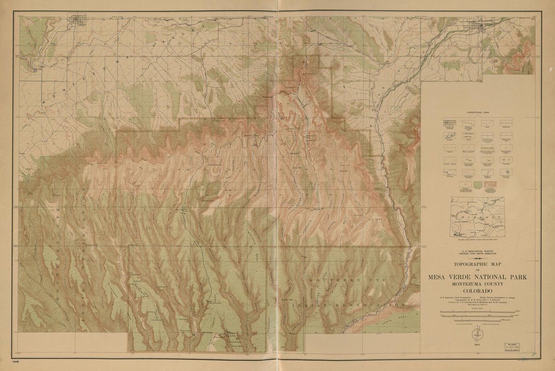 Topographic Map of Mesa Verde National Park : Montezuma County, Colorado 1915
- Regular price
-
$41.95 $134.95 - Regular price
-
$41.95 - Sale price
-
$41.95 $134.95
-
Topographic Map of the Island of Niihau, Kauai County, Hawaii 1926
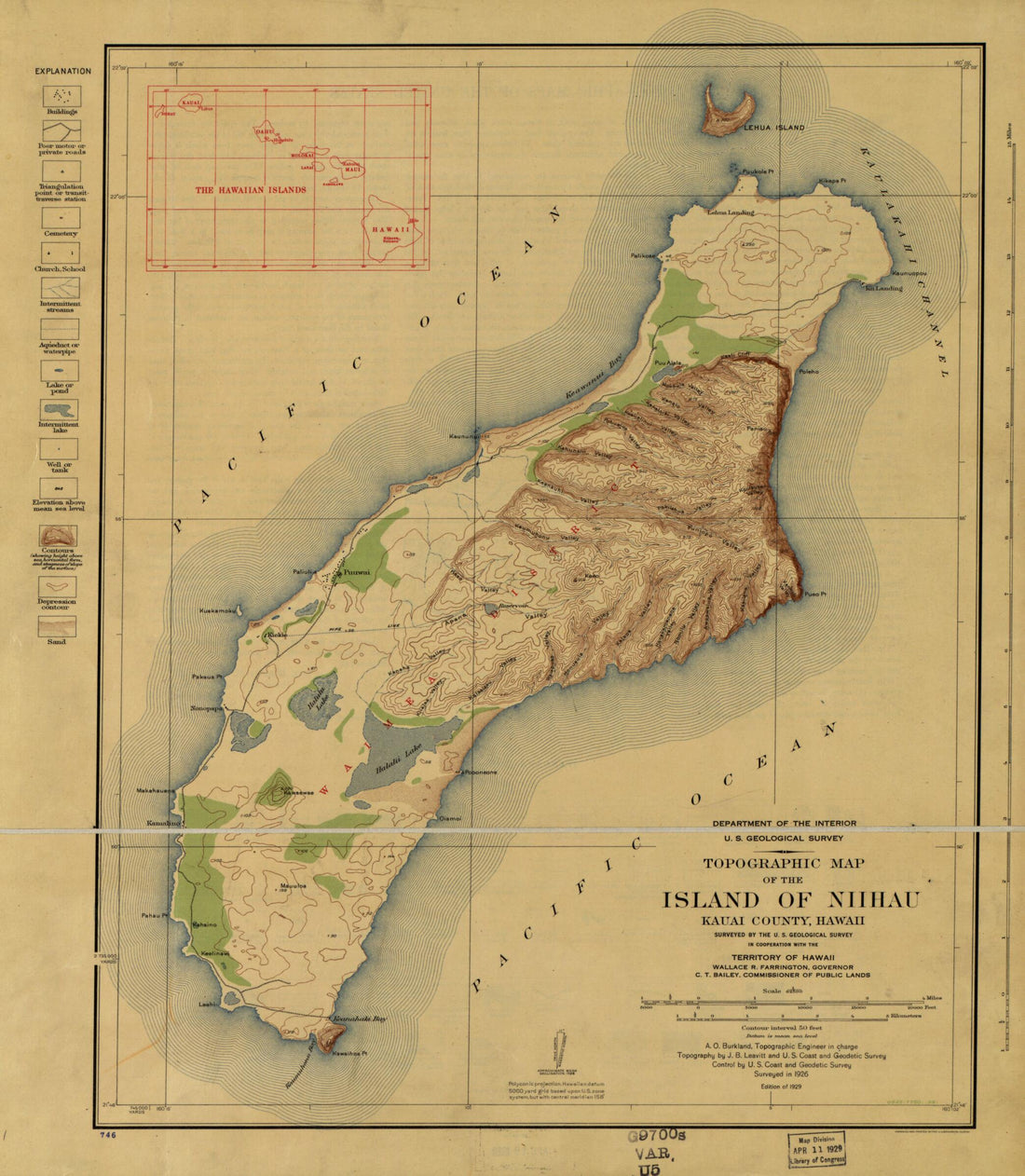 Topographic Map of the Island of Niihau, Kauai County, Hawaii 1926
- Regular price
-
$34.95 $78.95 - Regular price
-
$34.95 - Sale price
-
$34.95 $78.95
-
Rock Creek Park, Washington, D.C. : 1927
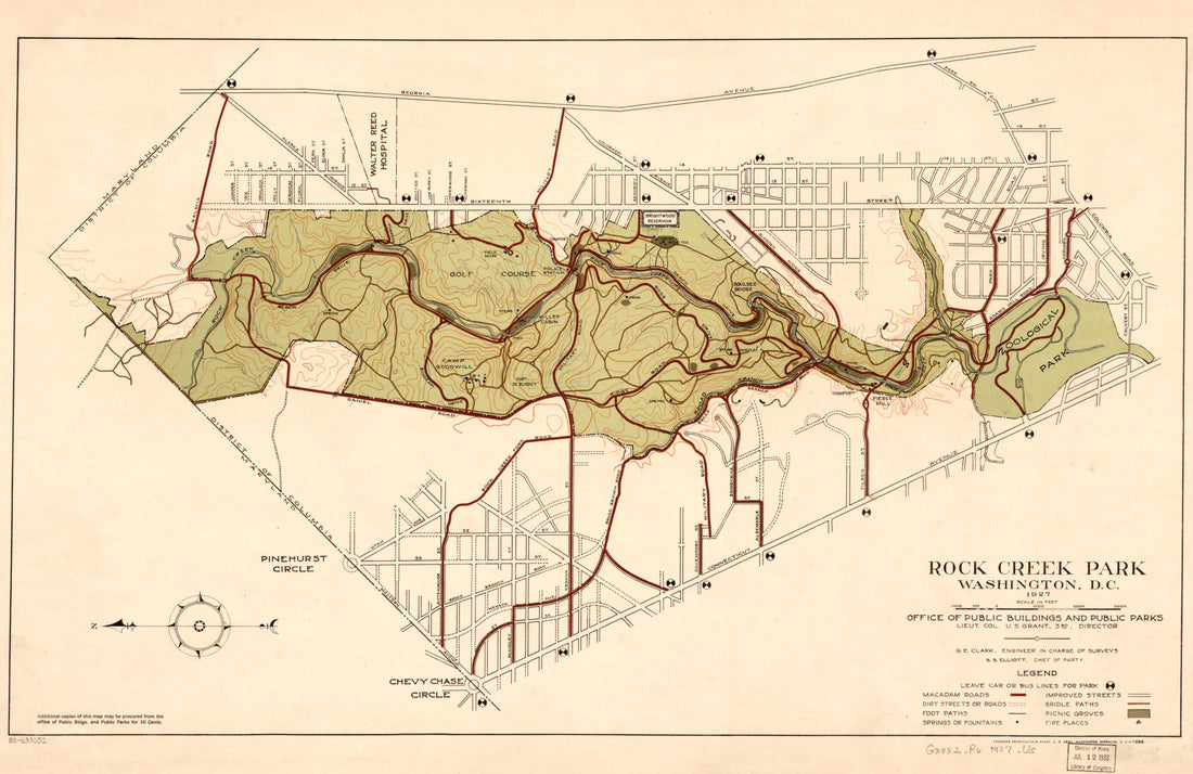 Rock Creek Park, Washington, D.C. : 1927
- Regular price
-
$41.95 $94.95 - Regular price
-
$41.95 - Sale price
-
$41.95 $94.95
-
Topographical Map of Part of Washington D.C. 1861
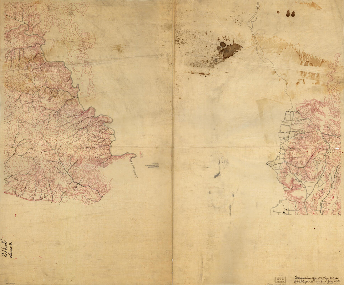 Topographical Map of Part of Washington D.C. 1861
- Regular price
-
$34.95 $138.95 - Regular price
-
$34.95 - Sale price
-
$34.95 $138.95
-
Topographic Map of West Point, Constitution Island, and Vicinity, New York 1842
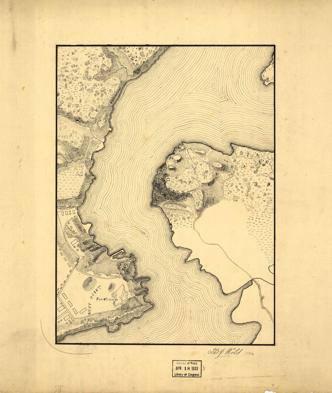 Topographic Map of West Point, Constitution Island, and Vicinity, New York 1842
- Regular price
-
$34.95 $78.95 - Regular price
-
$29.95 - Sale price
-
$34.95 $78.95
-
Map of Marshall, Wetzel, and Tyler Counties Showing Topography in 1909
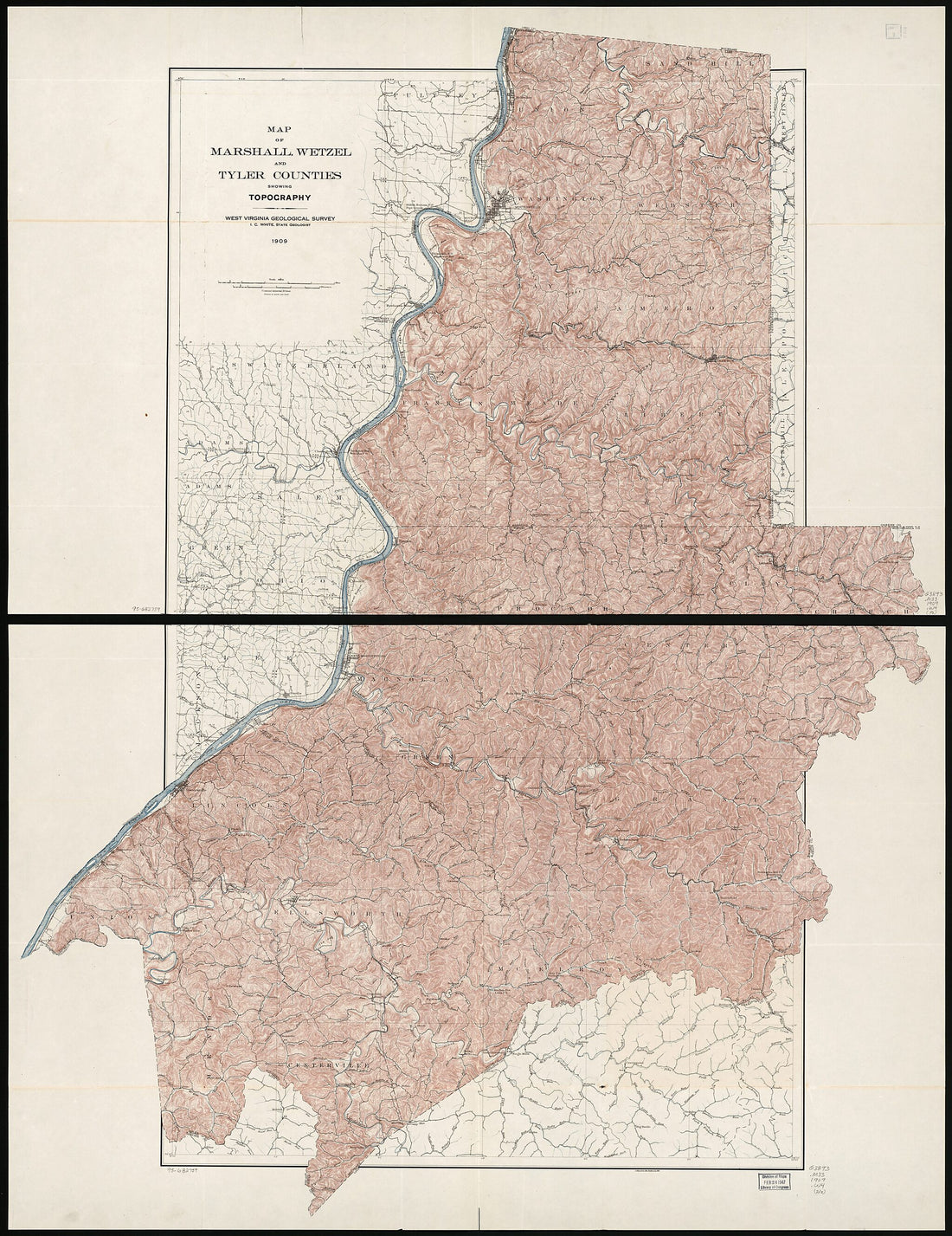 Map of Marshall, Wetzel, and Tyler Counties Showing Topography in 1909
- Regular price
-
$38.95 $205.95 - Regular price
-
$32.95 - Sale price
-
$38.95 $205.95
-
Maine in 1922
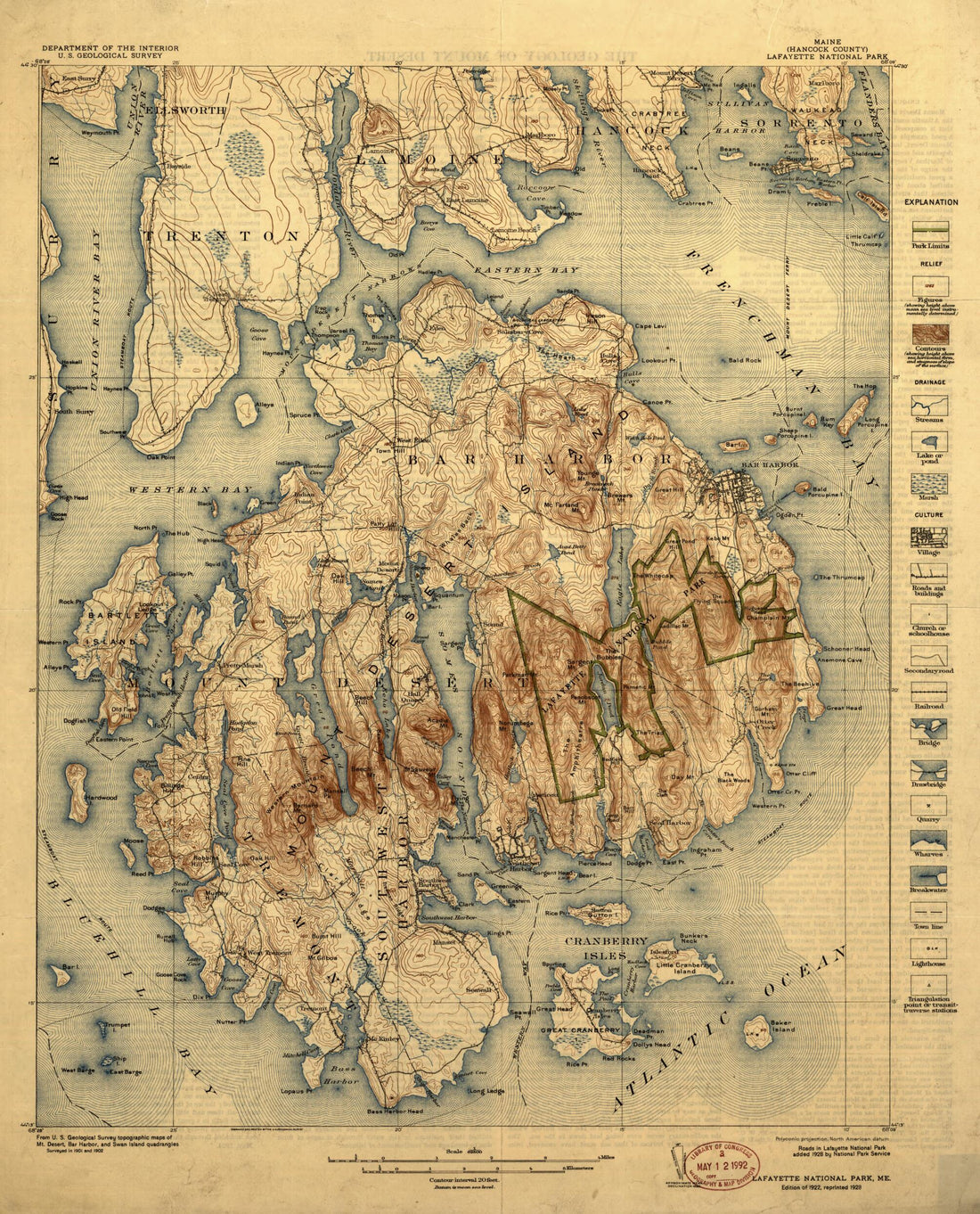 Maine in 1922
- Regular price
-
$34.95 $78.95 - Regular price
-
$34.95 - Sale price
-
$34.95 $78.95
-
Washington and Vicinity, Maryland, District of Columbia, Virginia 1917
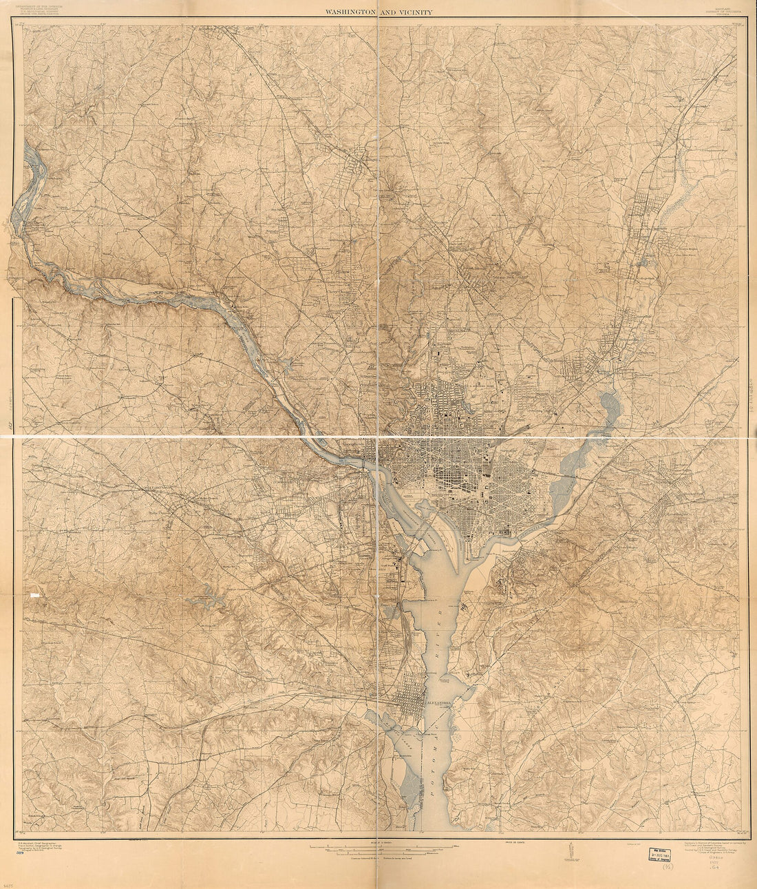 Washington and Vicinity, Maryland, District of Columbia, Virginia 1917
- Regular price
-
$34.95 $191.95 - Regular price
-
$34.95 - Sale price
-
$34.95 $191.95
-
Contour Map and Plan of Tracks, Etc., Balboa Docks to Ancon Hill Showing Proposed Filling of Swamp Between Ancon and Sosa Hills : Scale 1.5000 1911
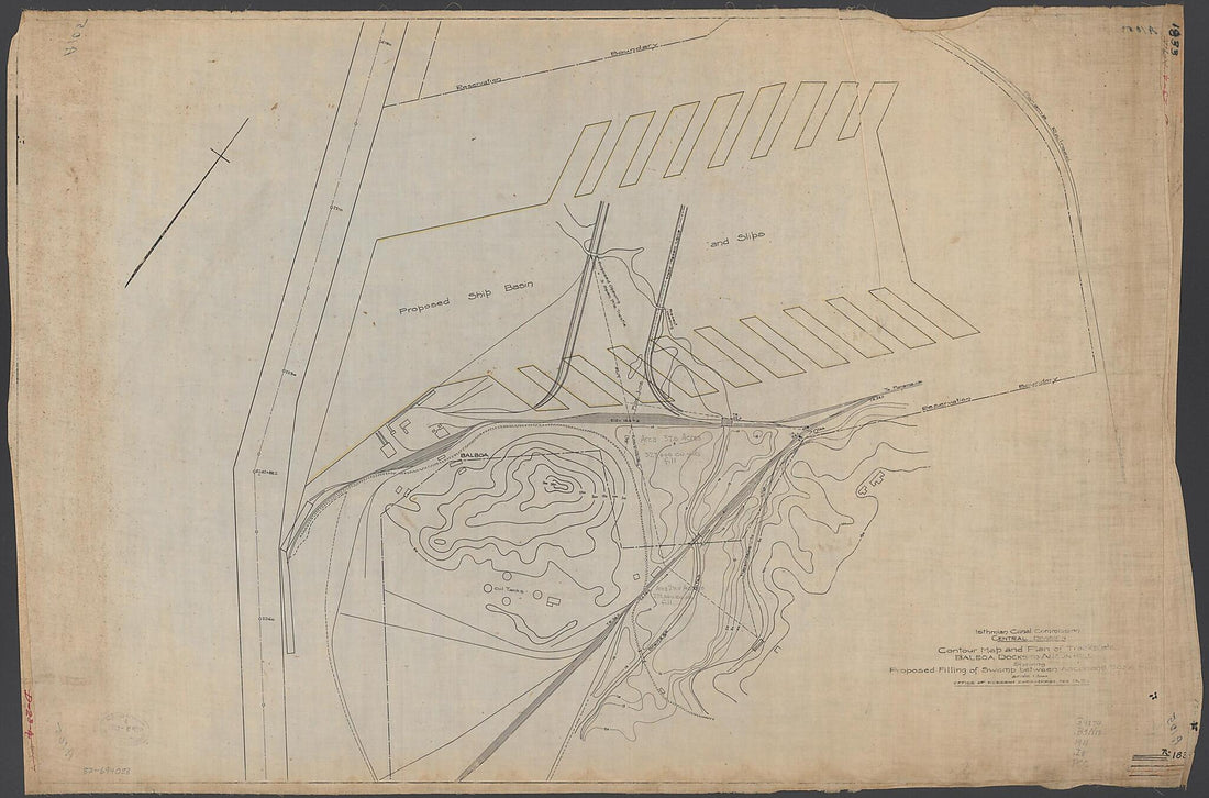 Contour Map and Plan of Tracks, Etc., Balboa Docks to Ancon Hill Showing Proposed Filling of Swamp Between Ancon and Sosa Hills : Scale 1.5000 1911
- Regular price
-
$41.95 $132.95 - Regular price
-
$41.95 - Sale price
-
$41.95 $132.95
-
Map Showing Detailed Topography of the Country Traversed by the Reconnaissance Expedition Through Southern and Southeastern Nevada (Reconnaissance Maps : Department of California, Military Map No. 1) 1870
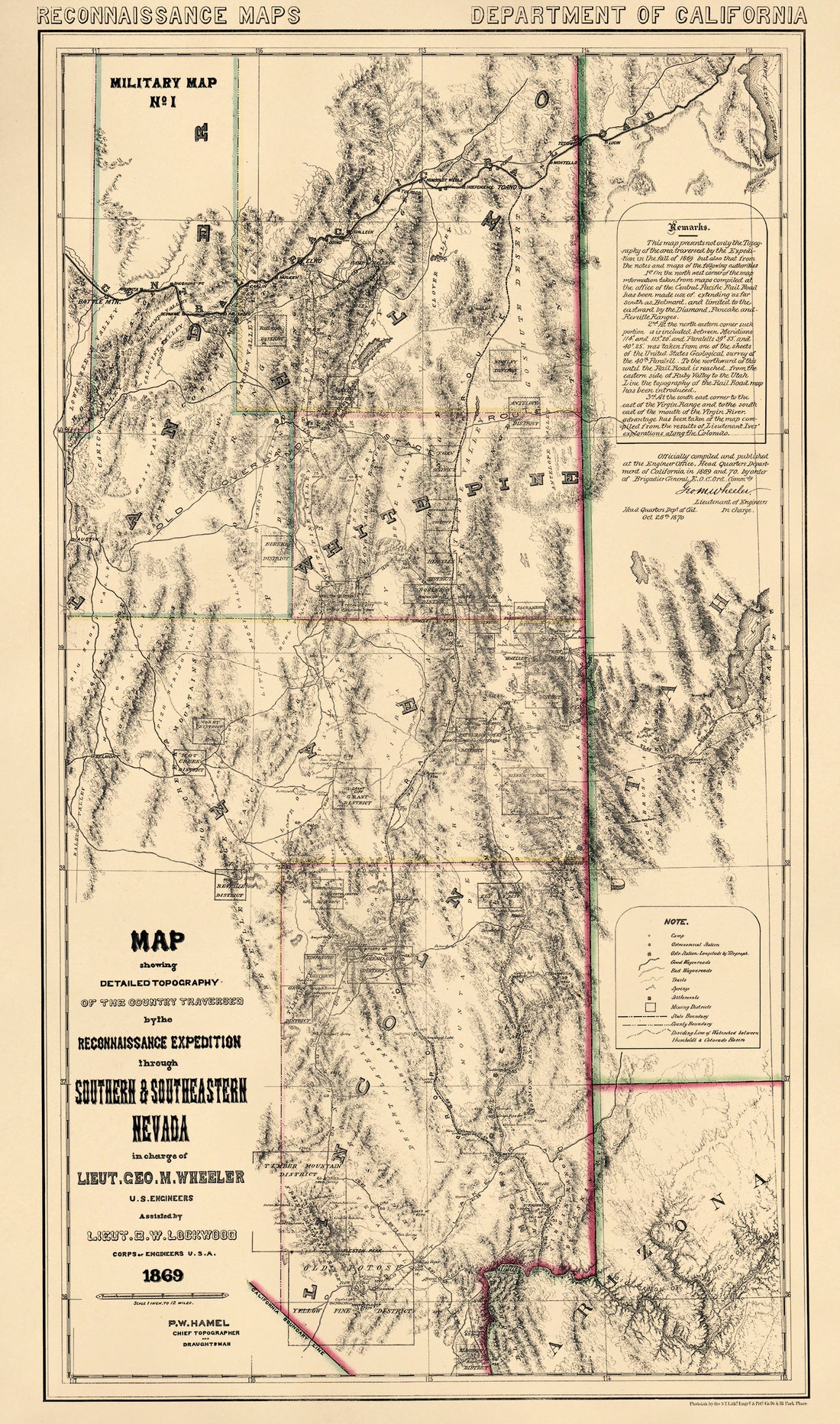 Map Showing Detailed Topography of the Country Traversed by the Reconnaissance Expedition Through Southern and Southeastern Nevada (Reconnaissance Maps : Department of California, Military Map No. 1) 1870
- Regular price
-
$41.95 $183.95 - Regular price
-
$41.95 - Sale price
-
$41.95 $183.95
-
Colorado 1894
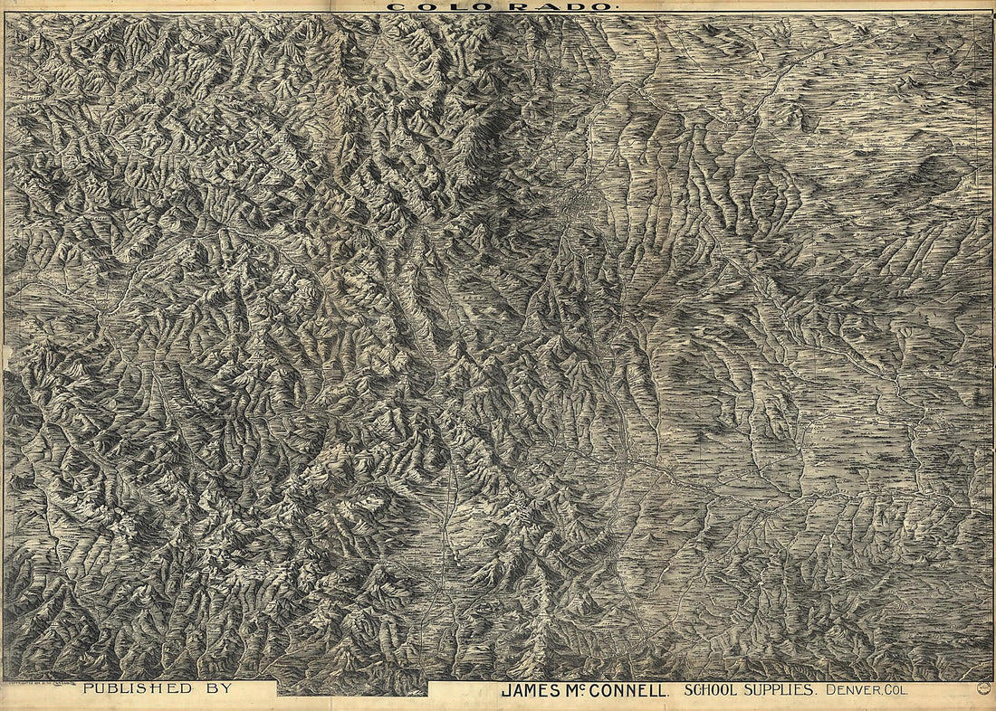 Colorado 1894
- Regular price
-
$41.95 $250.95 - Regular price
-
$41.95 - Sale price
-
$41.95 $250.95
-
Topography of the Federal City, 1791 : Washington D.C.
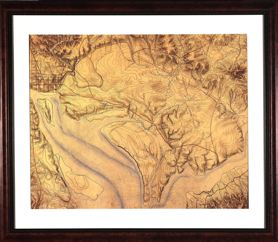 Topography of the Federal City, 1791 : Washington D.C.
- Regular price
-
$34.95 $173.95 - Regular price
-
$34.95 - Sale price
-
$34.95 $173.95


