598 products
-
Plan of the City of Washington : the Capitol sic of the United States of America 1872
 Plan of the City of Washington : the Capitol sic of the United States of America 1872
- Regular price
-
From
$19.95 - Regular price
-
$29.95 - Sale price
-
From
$19.95
-
Map Showing Indian Reservations With the Limits of the United States : 1883
 Map Showing Indian Reservations With the Limits of the United States : 1883
- Regular price
-
From
$41.95 - Regular price
-
$66.99 - Sale price
-
From
$41.95
-
J. H. Colton's Map of the State of Louisiana and Eastern Part of Texas Compiled from United States Surveys, and Other Authentic Sources, Showing the Counties, Townships, Sections. Fractional Sections, Settlement Rights, Railroads, &c 1863
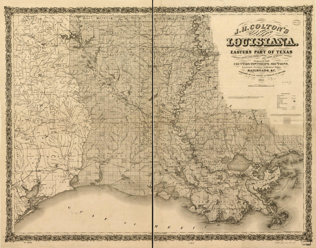 J. H. Colton's Map of the State of Louisiana and Eastern Part of Texas Compiled from United States Surveys, and Other Authentic Sources, Showing the Counties, Townships, Sections. Fractional Sections, Settlement Rights, Railroads, &c 1863
- Regular price
-
From
$34.95 - Regular price
-
$49.99 - Sale price
-
From
$34.95
-
Map of the Territory of the United States From the Mississippi River to the Pacific Ocean; Ordered by Jeff'n Davis, Secretary of War to Accompany the Reports of the Explorations for a Railroad Route in 1858
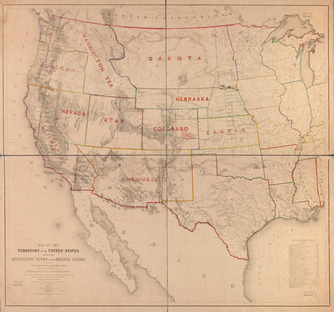 Map of the Territory of the United States From the Mississippi River to the Pacific Ocean; Ordered by Jeff'n Davis, Secretary of War to Accompany the Reports of the Explorations for a Railroad Route in 1858
- Regular price
-
From
$34.95 - Regular price
-
$49.99 - Sale price
-
From
$34.95
-
Military Map Showing the Marches of the United States Forces Under Command of Maj. Genl. W. T. Sherman, U.S.A., During the Years 1863, 1864, in 1865
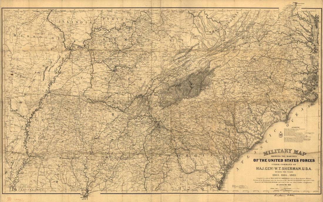 Military Map Showing the Marches of the United States Forces Under Command of Maj. Genl. W. T. Sherman, U.S.A., During the Years 1863, 1864, in 1865
- Regular price
-
From
$41.95 - Regular price
-
$66.99 - Sale price
-
From
$41.95
-
Plan of the City of Washington In the Territory of Columbia : Ceded by the States of Virginia and Maryland to the United States of America and by Them Established As the Seat of Their Government, After the Year 1800 1795
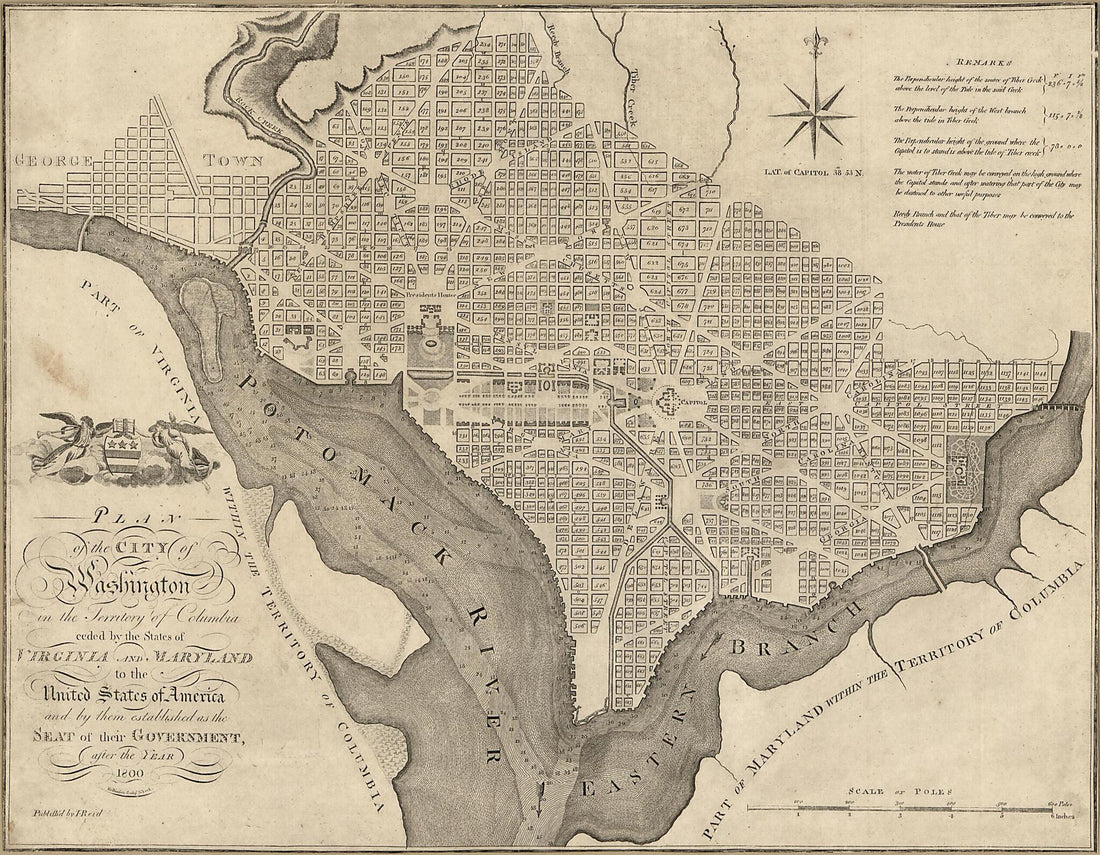 Plan of the City of Washington In the Territory of Columbia : Ceded by the States of Virginia and Maryland to the United States of America and by Them Established As the Seat of Their Government, After the Year 1800 1795
- Regular price
-
From
$34.95 - Regular price
-
$49.99 - Sale price
-
From
$34.95
-
United States Topographical and Geological Survey of Green River : No 1 Preliminary Map of Green River from Green River Station to Uintah River 1871
 United States Topographical and Geological Survey of Green River : No 1 Preliminary Map of Green River from Green River Station to Uintah River 1871
- Regular price
-
From
$40.95 - Regular price
-
$62.95 - Sale price
-
From
$40.95
-
Colton's New Railroad & County Map of the United States, the Canadas &c 1862
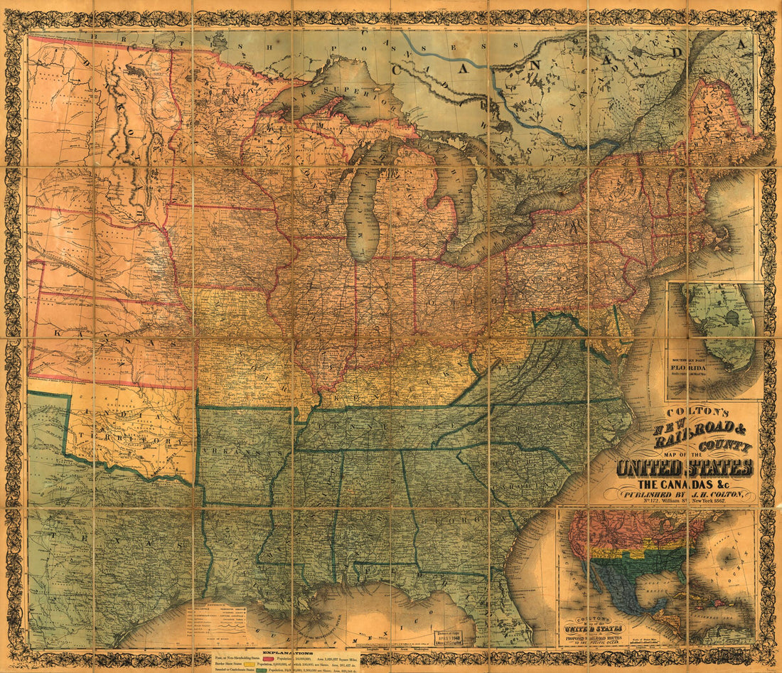 Colton's New Railroad & County Map of the United States, the Canadas &c 1862
- Regular price
-
From
$34.95 - Regular price
-
$49.99 - Sale price
-
From
$34.95
-
Map of the United States and Territories, Showing the Extent of Public Surveys and Other Details 1867
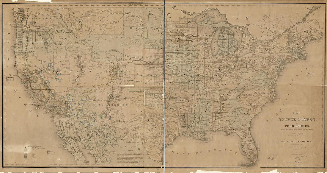 Map of the United States and Territories, Showing the Extent of Public Surveys and Other Details 1867
- Regular price
-
From
$41.95 - Regular price
-
$66.99 - Sale price
-
From
$41.95
-
Map of the City of Washington : Established As the Permanent Seat of the Government of the United States of America 1846
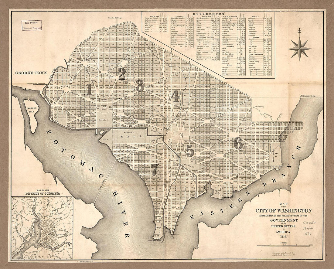 Map of the City of Washington : Established As the Permanent Seat of the Government of the United States of America 1846
- Regular price
-
From
$27.95 - Regular price
-
$43.95 - Sale price
-
From
$27.95
-
Georgetown and the City of Washington : the Capital of the United States of America 1855
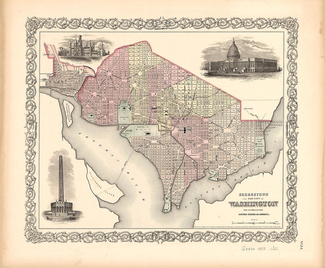 Georgetown and the City of Washington : the Capital of the United States of America 1855
- Regular price
-
From
$29.95 - Regular price
-
$45.95 - Sale price
-
From
$29.95
-
Pictorial Map of the Seat of War, Showing Parts of the States of Maryland, Delaware, Virginia, and North Carolina, and Also the Coast Line from Cape Henry to Fort Pickens, With the United States Blockading Fleet 1861
 Pictorial Map of the Seat of War, Showing Parts of the States of Maryland, Delaware, Virginia, and North Carolina, and Also the Coast Line from Cape Henry to Fort Pickens, With the United States Blockading Fleet 1861
- Regular price
-
From
$32.95 - Regular price
-
$51.99 - Sale price
-
From
$32.95


