Quick links
13434 products
-
Rough Draught of Boston and Harbour 1776
 Rough Draught of Boston and Harbour 1776
- Regular price
-
From
$30.95 - Regular price
-
$47.95 - Sale price
-
From
$30.95
-
Map of Allegheny County, Pennsylvania : From Actual Surveys in 1883
 Map of Allegheny County, Pennsylvania : From Actual Surveys in 1883
- Regular price
-
From
$34.95 - Regular price
-
$49.99 - Sale price
-
From
$34.95
-
Shelby County, Texas in 1897
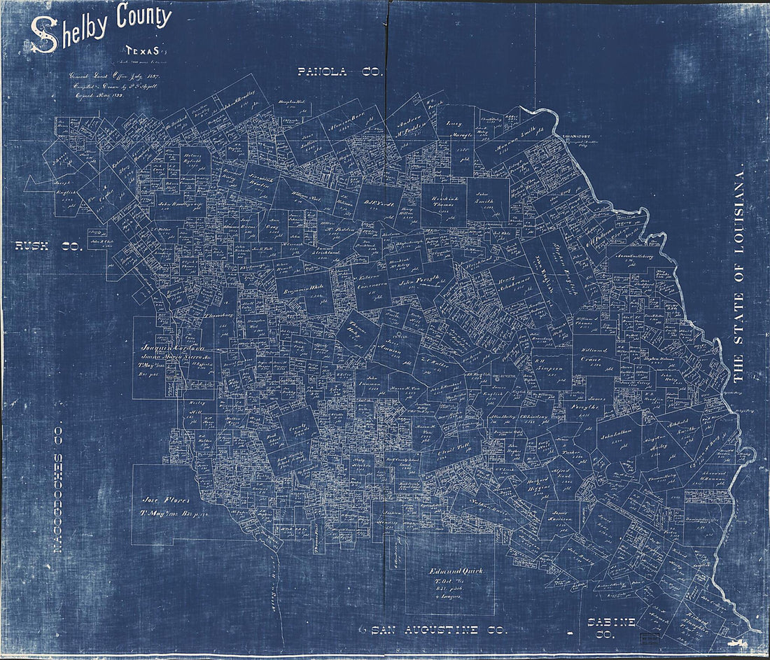 Shelby County, Texas in 1897
- Regular price
-
From
$34.95 - Regular price
-
$49.99 - Sale price
-
From
$34.95
-
Schönberg's Map of Texas 1866
 Schönberg's Map of Texas 1866
- Regular price
-
From
$19.95 - Regular price
-
$29.95 - Sale price
-
From
$19.95
-
Map of the Virginia Central Rail Road Showing the Connection Between Tide Water Virginia, and the Ohio River at Big Sandy, Guyandotte and Point Pleasant; Made by W. Vaisz Top. Eng 1852
 Map of the Virginia Central Rail Road Showing the Connection Between Tide Water Virginia, and the Ohio River at Big Sandy, Guyandotte and Point Pleasant; Made by W. Vaisz Top. Eng 1852
- Regular price
-
From
$41.95 - Regular price
-
$66.99 - Sale price
-
From
$41.95
-
Map of Proposed Arizona Territory 1857
 Map of Proposed Arizona Territory 1857
- Regular price
-
From
$19.95 - Regular price
-
$29.95 - Sale price
-
From
$19.95
-
William Corcoran's Subdivision of Lots : Between High & Congress & Bridge & Gay Streets, Georgetown D.C 1839
 William Corcoran's Subdivision of Lots : Between High & Congress & Bridge & Gay Streets, Georgetown D.C 1839
- Regular price
-
From
$32.95 - Regular price
-
$51.99 - Sale price
-
From
$32.95
-
Plan of Fort Jackson, Showing the Effect of the Bombardment by the U.S. Mortar Flotilla and Gunboats, April 18th to 24th 1862 : Flag Officer D.G. Farragut Commanding Fleet, Com. D.D. Porter Commanding Flotilla
 Plan of Fort Jackson, Showing the Effect of the Bombardment by the U.S. Mortar Flotilla and Gunboats, April 18th to 24th 1862 : Flag Officer D.G. Farragut Commanding Fleet, Com. D.D. Porter Commanding Flotilla
- Regular price
-
From
$24.95 - Regular price
-
$38.95 - Sale price
-
From
$24.95
-
Map of the Territory of the United States From the Mississippi to the Pacific Ocean; Ordered by Jeff'n Davis, Secretary of War to Accompany the Reports of the Explorations for a Railroad Route in 1858
 Map of the Territory of the United States From the Mississippi to the Pacific Ocean; Ordered by Jeff'n Davis, Secretary of War to Accompany the Reports of the Explorations for a Railroad Route in 1858
- Regular price
-
From
$34.95 - Regular price
-
$49.99 - Sale price
-
From
$34.95
-
The States of Maryland and Delaware, from the Latest Surveys, 1795 1796
 The States of Maryland and Delaware, from the Latest Surveys, 1795 1796
- Regular price
-
From
$32.95 - Regular price
-
$49.99 - Sale price
-
From
$32.95
-
The Town of Boston In New England 1835
 The Town of Boston In New England 1835
- Regular price
-
From
$32.95 - Regular price
-
$51.99 - Sale price
-
From
$32.95
-
Carte De La Nouvelle Angleterre, New York, Pensilvanie Et Nouveau Jersay Suivant Les Cartes Angloises 1764
 Carte De La Nouvelle Angleterre, New York, Pensilvanie Et Nouveau Jersay Suivant Les Cartes Angloises 1764
- Regular price
-
From
$21.95 - Regular price
-
$33.95 - Sale price
-
From
$21.95


