Quick links
13434 products
-
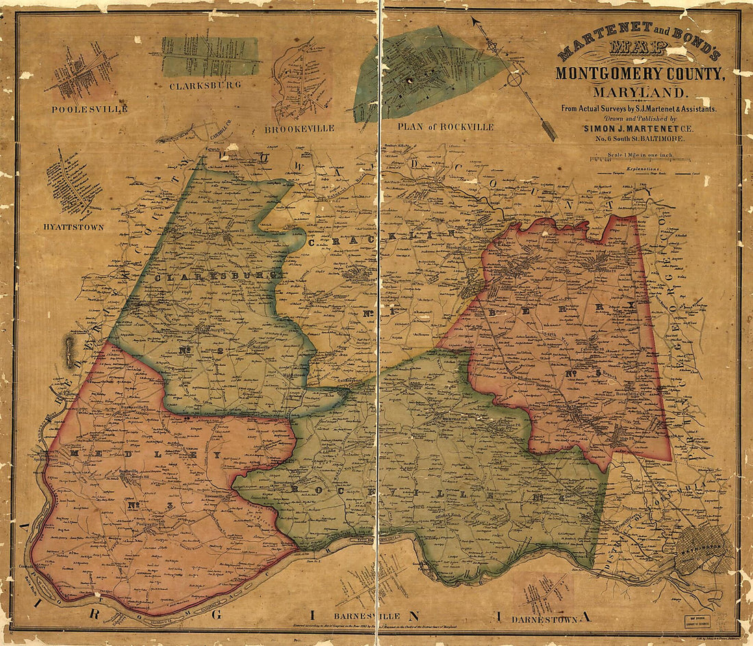
Martenet and Bond's Map of Montgomery County, Maryland (Map of Montgomery County, Maryland) 1865
 Martenet and Bond's Map of Montgomery County, Maryland (Map of Montgomery County, Maryland) 1865
- Regular price
-
From
$34.95 - Regular price
-
$49.99 - Sale price
-
From
$34.95
-
Sketch of the Road from Charlottesville to Afton, and from Browns Cove to Afton, Albemarle County, Virginia. 1860
 Sketch of the Road from Charlottesville to Afton, and from Browns Cove to Afton, Albemarle County, Virginia. 1860
- Regular price
-
From
$19.95 - Regular price
-
$29.95 - Sale price
-
From
$19.95
-
Chickamauga Battlefield, Georgia 1864
 Chickamauga Battlefield, Georgia 1864
- Regular price
-
From
$41.95 - Regular price
-
$66.99 - Sale price
-
From
$41.95
-
Map of New York City, Brooklyn, and Vicinity Showing Surface & Elevated Railroads In Operation and Proposed 1885
 Map of New York City, Brooklyn, and Vicinity Showing Surface & Elevated Railroads In Operation and Proposed 1885
- Regular price
-
From
$41.95 - Regular price
-
$66.99 - Sale price
-
From
$41.95
-
The Washington Map of the United States in 1863
 The Washington Map of the United States in 1863
- Regular price
-
From
$34.95 - Regular price
-
$49.99 - Sale price
-
From
$34.95
-
Plan of Part of the City of Washington, In the Vicinity of the Upper Eastern Branch Ferry, Shewing the Situation of the Buildings & Grave Yards Belonging to the Widow Wheler 1796
 Plan of Part of the City of Washington, In the Vicinity of the Upper Eastern Branch Ferry, Shewing the Situation of the Buildings & Grave Yards Belonging to the Widow Wheler 1796
- Regular price
-
From
$27.95 - Regular price
-
$43.95 - Sale price
-
From
$27.95
-
Map of Part of Pennsylvania Avenue and the Washington Canal In the Vicinity of the Center Market, N.W. Washington D.C. 1860
 Map of Part of Pennsylvania Avenue and the Washington Canal In the Vicinity of the Center Market, N.W. Washington D.C. 1860
- Regular price
-
From
$19.95 - Regular price
-
$31.95 - Sale price
-
From
$19.95
-
Map of Washington and Kent Counties, Rhode Island 1889
 Map of Washington and Kent Counties, Rhode Island 1889
- Regular price
-
From
$19.95 - Regular price
-
$29.95 - Sale price
-
From
$19.95
-
Carte D'une Partie Des Côtes De La Floride Et La Louisiane, Contenant Le Cours Du Mississipi, Depuis Ses Embouchures Jusqu'à La Rivière Rouge, L'entrée De La Mobile Et Les Baies De Pensacola, De Ste. Rose Et De S. Joseph 1778
 Carte D'une Partie Des Côtes De La Floride Et La Louisiane, Contenant Le Cours Du Mississipi, Depuis Ses Embouchures Jusqu'à La Rivière Rouge, L'entrée De La Mobile Et Les Baies De Pensacola, De Ste. Rose Et De S. Joseph 1778
- Regular price
-
From
$32.95 - Regular price
-
$51.99 - Sale price
-
From
$32.95
-
Hook, New York and Bay to Fort Edward, Also the Communication With Canada by Lake George and Lake Champlain, As High As Fort Chambly On Sorel River. 1776 1777
 Hook, New York and Bay to Fort Edward, Also the Communication With Canada by Lake George and Lake Champlain, As High As Fort Chambly On Sorel River. 1776 1777
- Regular price
-
From
$41.95 - Regular price
-
$66.99 - Sale price
-
From
$41.95
-
Savannah River & Ogeechee River 1780
 Savannah River & Ogeechee River 1780
- Regular price
-
From
$19.95 - Regular price
-
$29.95 - Sale price
-
From
$19.95
-
Map of the Battlefield of Perryville, Ky : Major General Don Carlos Buell Commanding the U.S. Forces, General Braxton Bragg Commanding the Confederate Forces. October 8th 1862 1877
 Map of the Battlefield of Perryville, Ky : Major General Don Carlos Buell Commanding the U.S. Forces, General Braxton Bragg Commanding the Confederate Forces. October 8th 1862 1877
- Regular price
-
From
$21.95 - Regular price
-
$34.95 - Sale price
-
From
$21.95


