

77 products
-
 Map of Virginia, Maryland and Delaware Exhibiting the Post Offices, Post Roads, Canals, Rail Roads &c. (Delaware, Maryland, Virginia) 1839Map of Virginia, Maryland and Delaware Exhibiting the Post Offices, Post Roads, Canals, Rail Roads &c. (Delaware, Maryland, Virginia) 1839
- Regular price
-
$51.95 $215.95 - Regular price
-
$38.95 - Sale price
-
$51.95 $215.95
-
 Map of the Lower Shenandoah Valley, Virginia 1864Map of the Lower Shenandoah Valley, Virginia 1864
- Regular price
-
$58.95 $99.95 - Regular price
-
$41.95 - Sale price
-
$58.95 $99.95
-
 Map of Grayson County, Virginia 1897Map of Grayson County, Virginia 1897
- Regular price
-
$52.95 $99.95 - Regular price
-
$41.95 - Sale price
-
$52.95 $99.95
-
 Chancellorsville, Va. Position of the 11th Corps at 6 P.m. May 2nd 1863 Maj Genl O.O. Howard Commanding 05-02Chancellorsville, Va. Position of the 11th Corps at 6 P.m. May 2nd 1863 Maj Genl O.O. Howard Commanding 05-02
- Regular price
-
$49.95 $83.95 - Regular price
-
$34.95 - Sale price
-
$49.95 $83.95
-
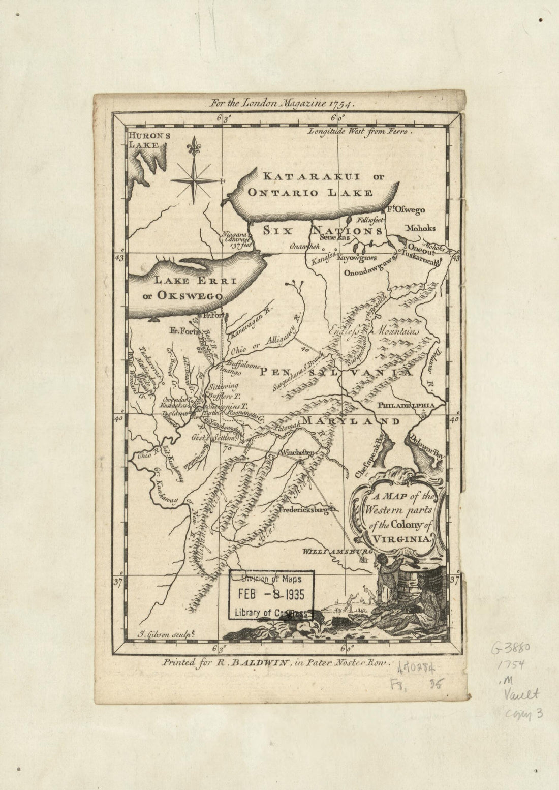 A Map of the Western Parts of the Colony of Virginia 1754A Map of the Western Parts of the Colony of Virginia 1754
- Regular price
-
$49.95 $88.95 - Regular price
-
$34.95 - Sale price
-
$49.95 $88.95
-
 Plan of Alexandria 1862Plan of Alexandria 1862
- Regular price
-
$51.95 $88.95 - Regular price
-
$38.95 - Sale price
-
$51.95 $88.95
-
 Colton's New Topographical Map of the Eastern Portion of the State of North Carolina With Part of Virginia & South Carolina from the Latest & Best Authorities 1861Colton's New Topographical Map of the Eastern Portion of the State of North Carolina With Part of Virginia & South Carolina from the Latest & Best Authorities 1861
- Regular price
-
$58.95 $99.95 - Regular price
-
$41.95 - Sale price
-
$58.95 $99.95
-
 Map of Orange County, Va. 1860Map of Orange County, Va. 1860
- Regular price
-
$58.95 $99.95 - Regular price
-
$41.95 - Sale price
-
$58.95 $99.95
-
 A Survey of the Northern Neck of Virginia, Being the Lands Belonging to the Rt. Honourable Thomas Lord Fairfax Baron Cameron, Bounded by & Within the Bay of Chesapoyocke and Between the Rivers Rappahannock and Potowmack: With the Courses of the Rivers...A Survey of the Northern Neck of Virginia, Being the Lands Belonging to the Rt. Honourable Thomas Lord Fairfax Baron Cameron, Bounded by & Within the Bay of Chesapoyocke and Between the Rivers Rappahannock and Potowmack: With the Courses of the Rivers...
- Regular price
-
$54.95 $83.95 - Regular price
-
$33.95 - Sale price
-
$54.95 $83.95
-
 Plan of the First Battle of Bull Run, Virginia. July 21st 1861 07-21Plan of the First Battle of Bull Run, Virginia. July 21st 1861 07-21
- Regular price
-
$49.95 $83.95 - Regular price
-
$34.95 - Sale price
-
$49.95 $83.95
-
 Sketch of the Vicinity of McDowell, Va. 1862Sketch of the Vicinity of McDowell, Va. 1862
- Regular price
-
$49.95 $88.95 - Regular price
-
$34.95 - Sale price
-
$49.95 $88.95
-
 Military Map Showing the Topographical Features of the Country Adjacent to Harper's Ferry, Va.; Including Maryland, Loudoun, and Bolivar Heights, and Portions of South and Short Mountains, With the Positions of the Defensive Works, Also the Junction o...Military Map Showing the Topographical Features of the Country Adjacent to Harper's Ferry, Va.; Including Maryland, Loudoun, and Bolivar Heights, and Portions of South and Short Mountains, With the Positions of the Defensive Works, Also the Junction o...
- Regular price
-
$54.95 $201.95 - Regular price
-
$38.95 - Sale price
-
$54.95 $201.95


