Quick links
25001 products
-
A Chart of Part of the Sea Coast of New South Wales On the East Coast of New Holland from Cape Palmerston to Cape Flattery 1771
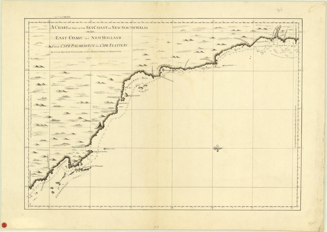 A Chart of Part of the Sea Coast of New South Wales On the East Coast of New Holland from Cape Palmerston to Cape Flattery 1771
- Regular price
-
From
$32.95 - Regular price
-
$51.99 - Sale price
-
From
$32.95
-
A Chart of Part of the Sea Coast of New South Wales On the East Coast of New Holland from Cape Palmerston to Cape Flattery 1771
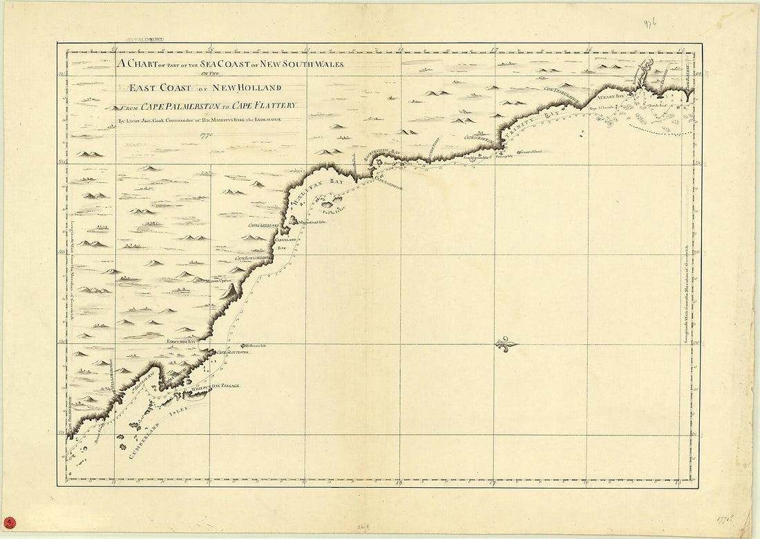 A Chart of Part of the Sea Coast of New South Wales On the East Coast of New Holland from Cape Palmerston to Cape Flattery 1771
- Regular price
-
From
$32.95 - Regular price
-
$51.99 - Sale price
-
From
$32.95
-
A Chart of Part of the Sea Coast of New South Wales On the East Coast of New Holland From Cape Palmerston to Cape Flattery in 1771
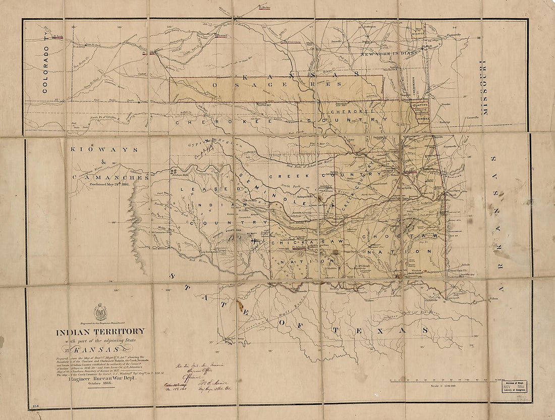 A Chart of Part of the Sea Coast of New South Wales On the East Coast of New Holland From Cape Palmerston to Cape Flattery in 1771
- Regular price
-
From
$32.95 - Regular price
-
$51.99 - Sale price
-
From
$32.95
-
A Chart of Part of the Sea Coast of New South Wales On the East Coast of New Holland from Point Hicks to Black Head 1771
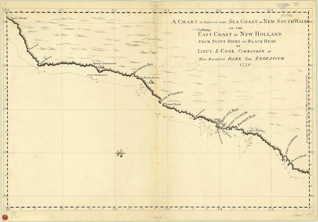 A Chart of Part of the Sea Coast of New South Wales On the East Coast of New Holland from Point Hicks to Black Head 1771
- Regular price
-
From
$41.95 - Regular price
-
$66.99 - Sale price
-
From
$41.95
-
A Chart of Port Royal and Kingston Harbours In the Island of Jamaica in 1781
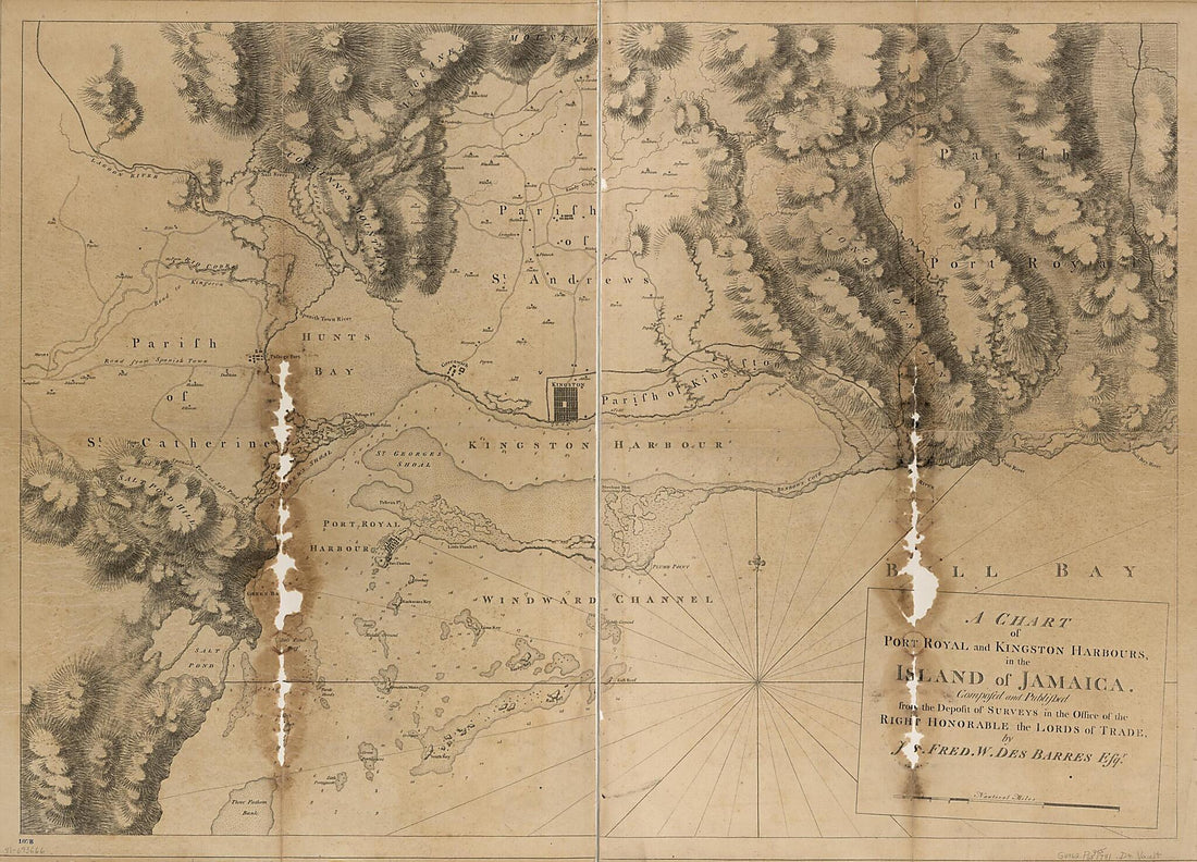 A Chart of Port Royal and Kingston Harbours In the Island of Jamaica in 1781
- Regular price
-
From
$32.95 - Regular price
-
$51.99 - Sale price
-
From
$32.95
-
A Chart of the Antilles, Or, Charibbee, Or, Caribs Islands, With the Virgin Isles 1784
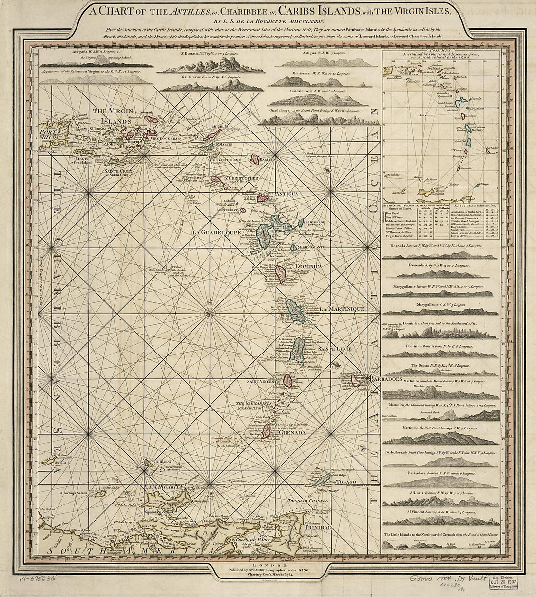 A Chart of the Antilles, Or, Charibbee, Or, Caribs Islands, With the Virgin Isles 1784
- Regular price
-
From
$34.95 - Regular price
-
$49.99 - Sale price
-
From
$34.95
-
A Chart of the Bar of Sandy Hook the Entrance of Hudson's River In the Province of New Jersey; in 1782
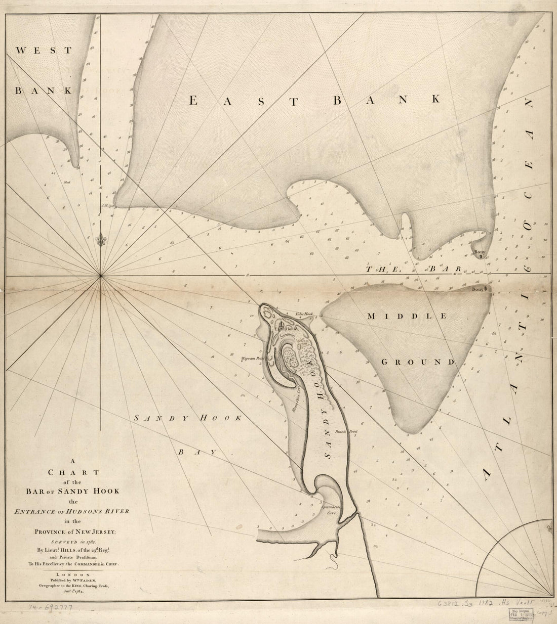 A Chart of the Bar of Sandy Hook the Entrance of Hudson's River In the Province of New Jersey; in 1782
- Regular price
-
From
$34.95 - Regular price
-
$49.99 - Sale price
-
From
$34.95
-
A Chart of the Bay and Harbour of Pensacola In the Province of West Florida 1780
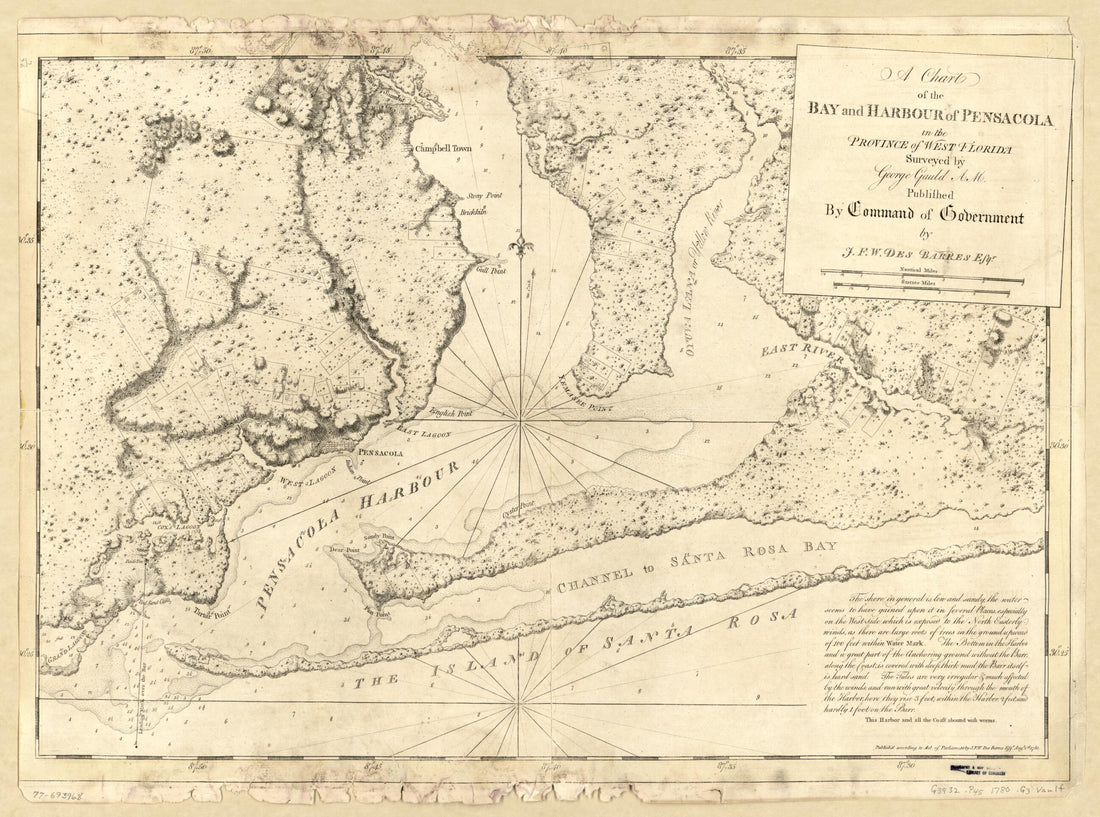 A Chart of the Bay and Harbour of Pensacola In the Province of West Florida 1780
- Regular price
-
From
$32.95 - Regular price
-
$51.99 - Sale price
-
From
$32.95
-
A Chart of the Caribe Ilands sic 1680
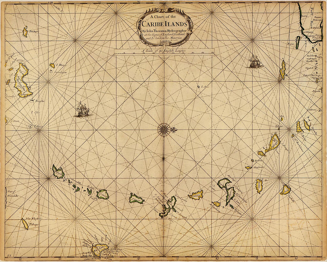 A Chart of the Caribe Ilands sic 1680
- Regular price
-
From
$34.95 - Regular price
-
$49.99 - Sale price
-
From
$34.95
-
A Chart of the Coast of America : From New York and Philadelphia to the Strait Or Gulf of Florida, and From Thence to the Mississippi in 1837
 A Chart of the Coast of America : From New York and Philadelphia to the Strait Or Gulf of Florida, and From Thence to the Mississippi in 1837
- Regular price
-
From
$41.95 - Regular price
-
$66.99 - Sale price
-
From
$41.95
-
A Chart of the Coast of Arabia, the Red Sea and Persian Gulf, Drawn from the Chart of the Eastern Ocean 1740
 A Chart of the Coast of Arabia, the Red Sea and Persian Gulf, Drawn from the Chart of the Eastern Ocean 1740
- Regular price
-
From
$21.95 - Regular price
-
$34.95 - Sale price
-
From
$21.95
-
A Chart of the Currents In the Indian Sea During the Southwest Monsoon, to the Northward of the Line. (A Chart of the Currents In the Indian Sea During the Northeast Monsoon, to the Northward of the Line) 1778
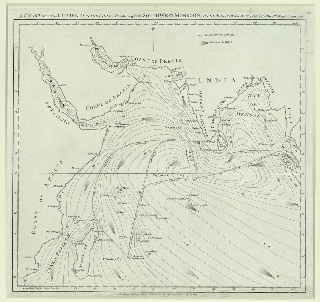 A Chart of the Currents In the Indian Sea During the Southwest Monsoon, to the Northward of the Line. (A Chart of the Currents In the Indian Sea During the Northeast Monsoon, to the Northward of the Line) 1778
- Regular price
-
From
$34.95 - Regular price
-
$49.99 - Sale price
-
From
$34.95


