Quick links
25001 products
-
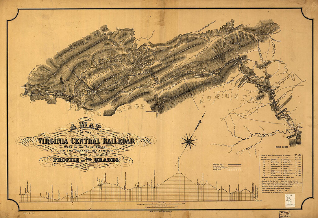 A Map of the Virginia Central Railroad, West of the Blue Ridge, and the Preliminary Surveys, With a Profile of the Grades 1860A Map of the Virginia Central Railroad, West of the Blue Ridge, and the Preliminary Surveys, With a Profile of the Grades 1860
- Regular price
-
$46.95 $131.95 - Regular price
-
$41.95 - Sale price
-
$46.95 $131.95
-
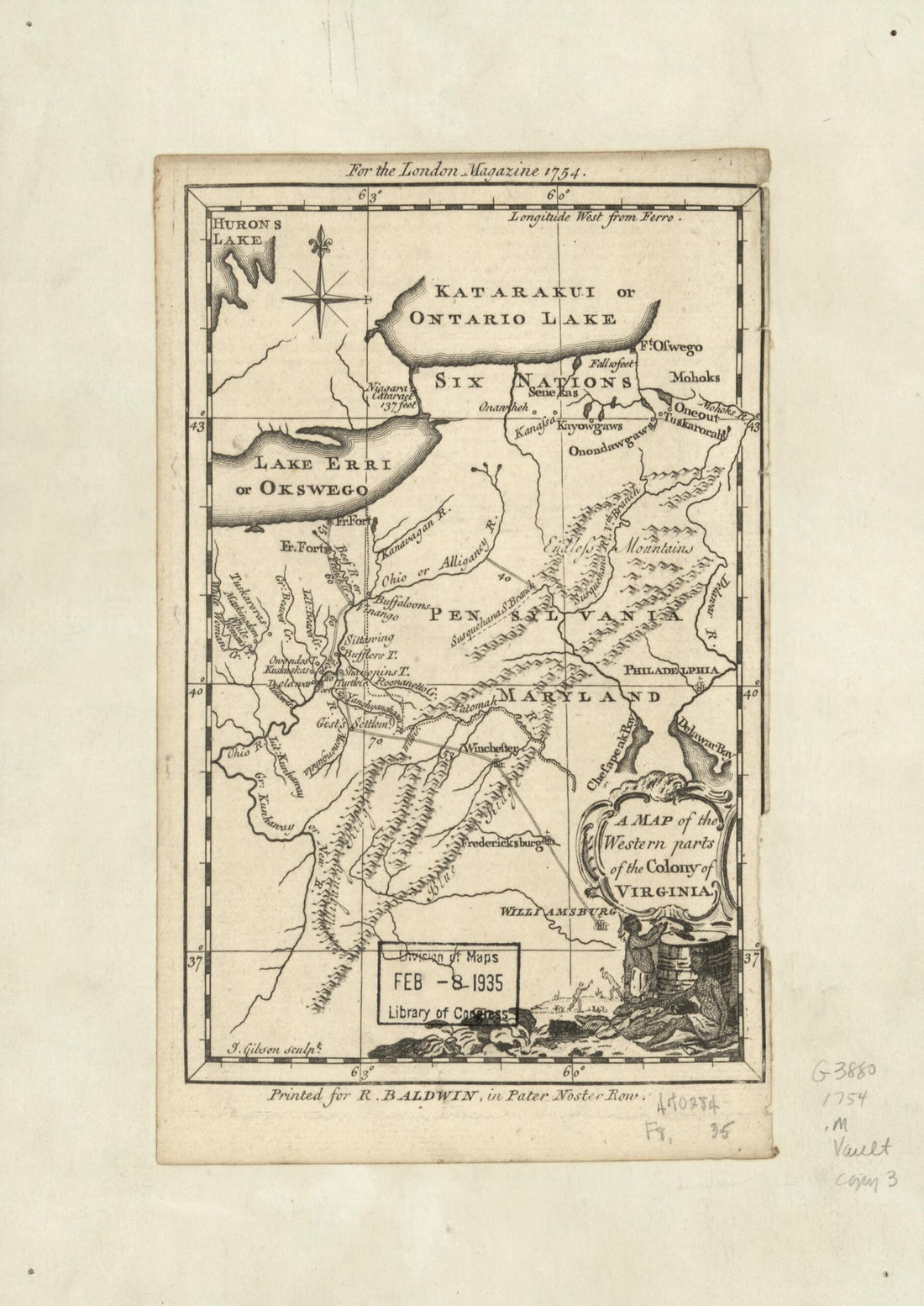 A Map of the Western Parts of the Colony of Virginia 1754A Map of the Western Parts of the Colony of Virginia 1754
- Regular price
-
$39.95 $88.95 - Regular price
-
$34.95 - Sale price
-
$39.95 $88.95
-
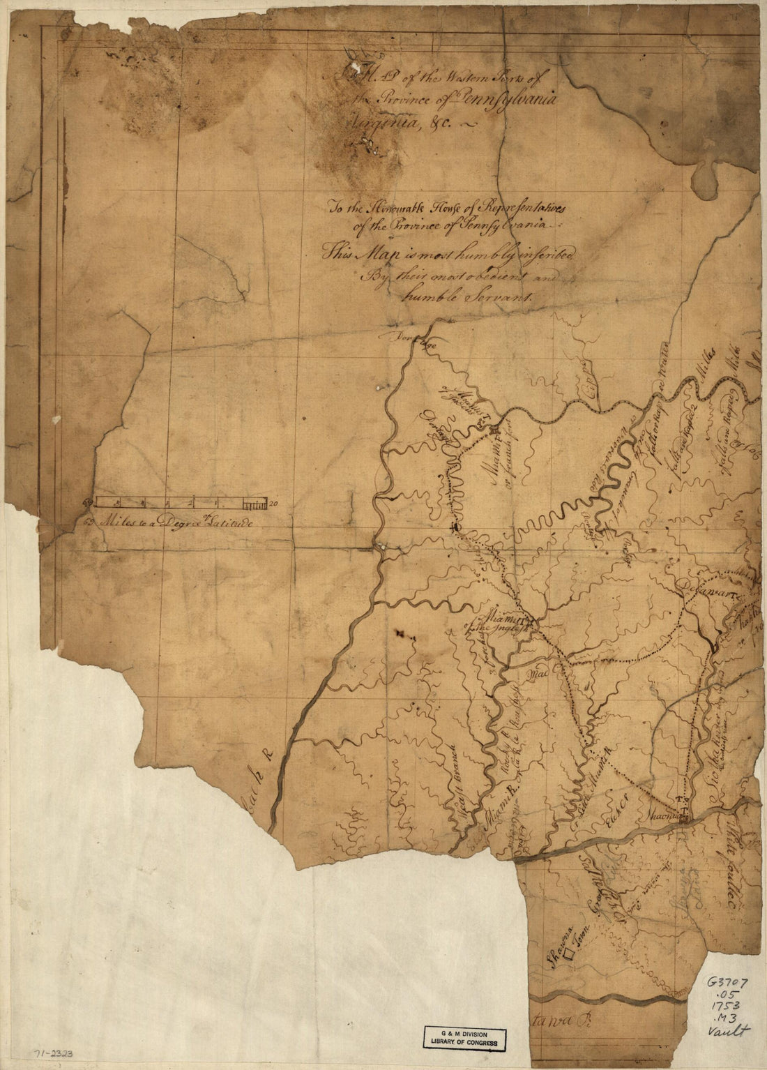 A Map of the Western Parts of the Province of Pennsylvania, Virginia, &c 1753A Map of the Western Parts of the Province of Pennsylvania, Virginia, &c 1753
- Regular price
-
$40.95 $88.95 - Regular price
-
$32.95 - Sale price
-
$40.95 $88.95
-
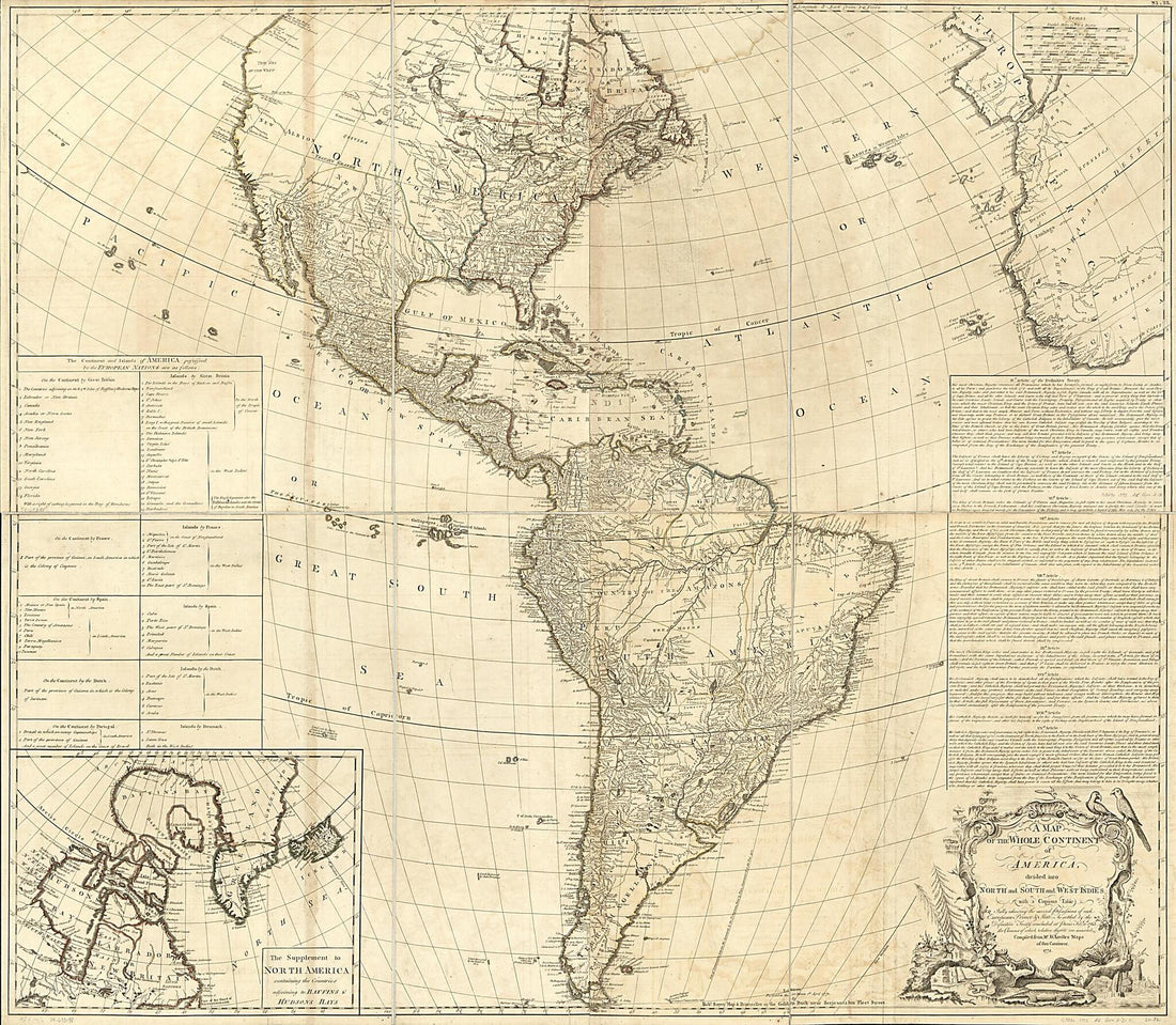 A Map of the Whole Continent of America, Divided Into North and South and West Indies With a Copius Table Fully Shewing the Several Possessions of Each European Prince & State, As Settled by the Definitive Treaty Concluded at Paris Feby. 10th 1763 the...A Map of the Whole Continent of America, Divided Into North and South and West Indies With a Copius Table Fully Shewing the Several Possessions of Each European Prince & State, As Settled by the Definitive Treaty Concluded at Paris Feby. 10th 1763 the...
- Regular price
-
$43.95 $202.95 - Regular price
-
$38.95 - Sale price
-
$43.95 $202.95
-
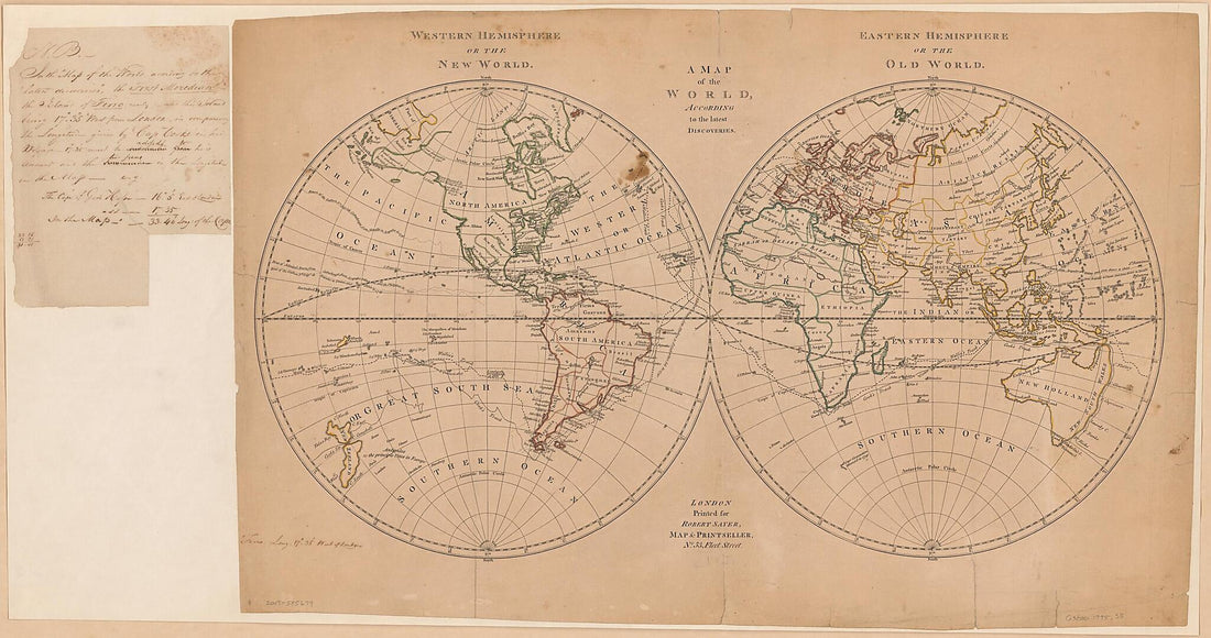 A Map of the World According to the Latest Discoveries 1775A Map of the World According to the Latest Discoveries 1775
- Regular price
-
$46.95 $243.95 - Regular price
-
$41.95 - Sale price
-
$46.95 $243.95
-
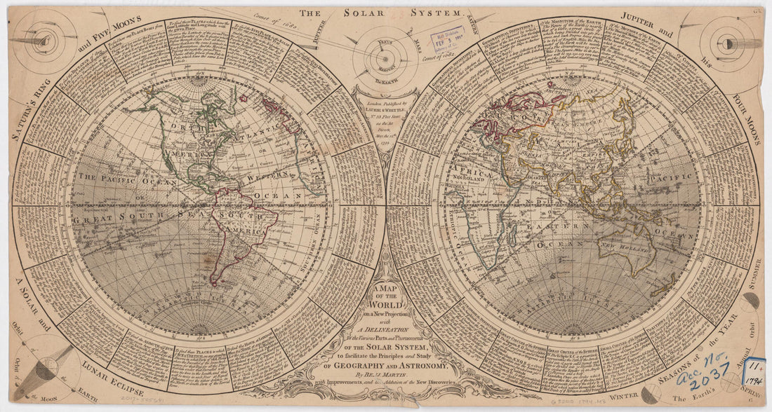 A Map of the World On a New Projection With a Delineation of the Various Parts and Phenomena of the Solar System to Facilitate the Principles and Study of Geography and Astronomy in 1794A Map of the World On a New Projection With a Delineation of the Various Parts and Phenomena of the Solar System to Facilitate the Principles and Study of Geography and Astronomy in 1794
- Regular price
-
$46.95 $99.95 - Regular price
-
$41.95 - Sale price
-
$46.95 $99.95
-
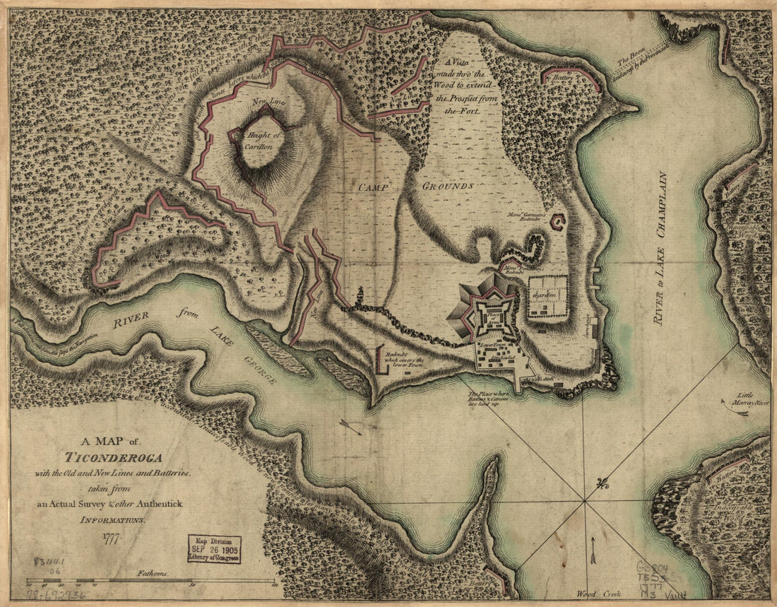 A Map of Ticonderoga With the Old and New Lines and Batteries 1777A Map of Ticonderoga With the Old and New Lines and Batteries 1777
- Regular price
-
$39.95 $83.95 - Regular price
-
$29.95 - Sale price
-
$39.95 $83.95
-
 A Map of Township (No. 14) In the 7th Range of Townships, In the County of Ontario, and State of New York : Situate & Bounded Westerly On the Geneseo River, Northwardly On Lake Ontario, Easterly On the Gerundigut Bay, & South On the North Line of Town...A Map of Township (No. 14) In the 7th Range of Townships, In the County of Ontario, and State of New York : Situate & Bounded Westerly On the Geneseo River, Northwardly On Lake Ontario, Easterly On the Gerundigut Bay, & South On the North Line of Town...
- Regular price
-
$39.95 $99.95 - Regular price
-
$34.95 - Sale price
-
$39.95 $99.95
-
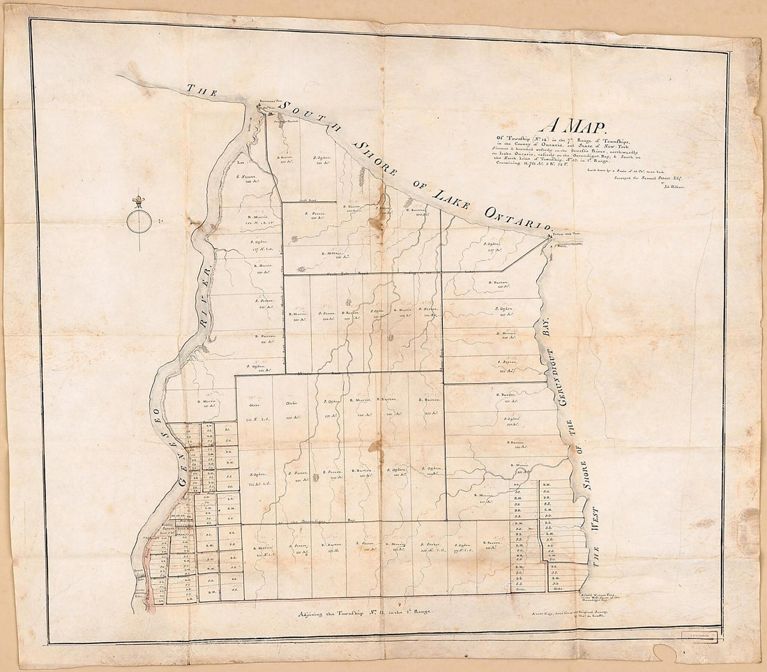 A Map of Township (No. 14) In the 7th Range of Townships, In the County of Ontario, and State of New York : Situate & Bounded Westerly On the Geneseo River, Northwardly On Lake Ontario, Easterly On the Gerundigut Bay, & South On the North Line of Town...A Map of Township (No. 14) In the 7th Range of Townships, In the County of Ontario, and State of New York : Situate & Bounded Westerly On the Geneseo River, Northwardly On Lake Ontario, Easterly On the Gerundigut Bay, & South On the North Line of Town...
- Regular price
-
$43.95 $214.95 - Regular price
-
$38.95 - Sale price
-
$43.95 $214.95
-
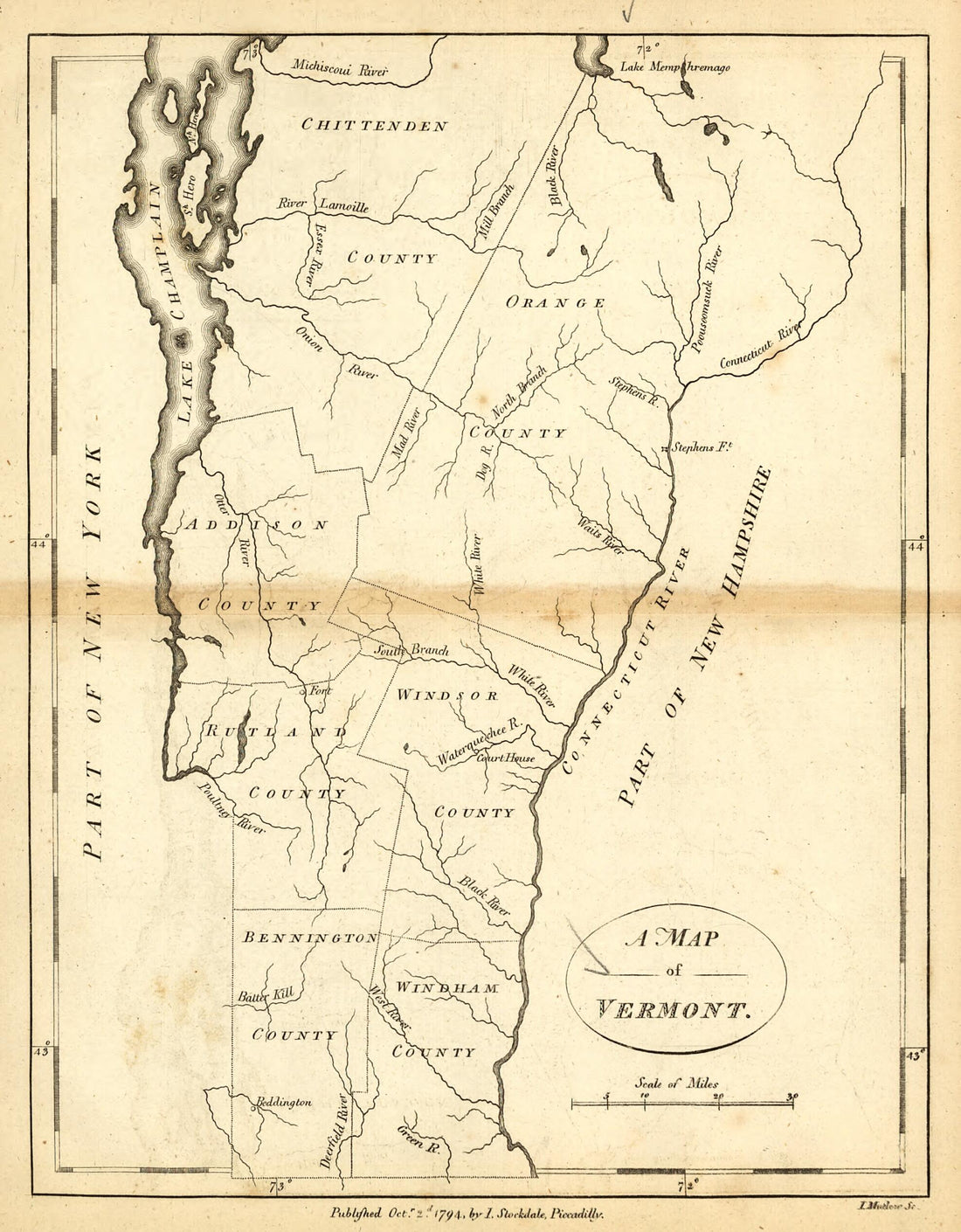 A Map of Vermont 1794A Map of Vermont 1794
- Regular price
-
$39.95 $83.95 - Regular price
-
$29.95 - Sale price
-
$39.95 $83.95
-
 A Map of Virginia and Maryland (Map of Virginia and Maryland) 1767A Map of Virginia and Maryland (Map of Virginia and Maryland) 1767
- Regular price
-
$39.95 $83.95 - Regular price
-
$34.95 - Sale price
-
$39.95 $83.95
-
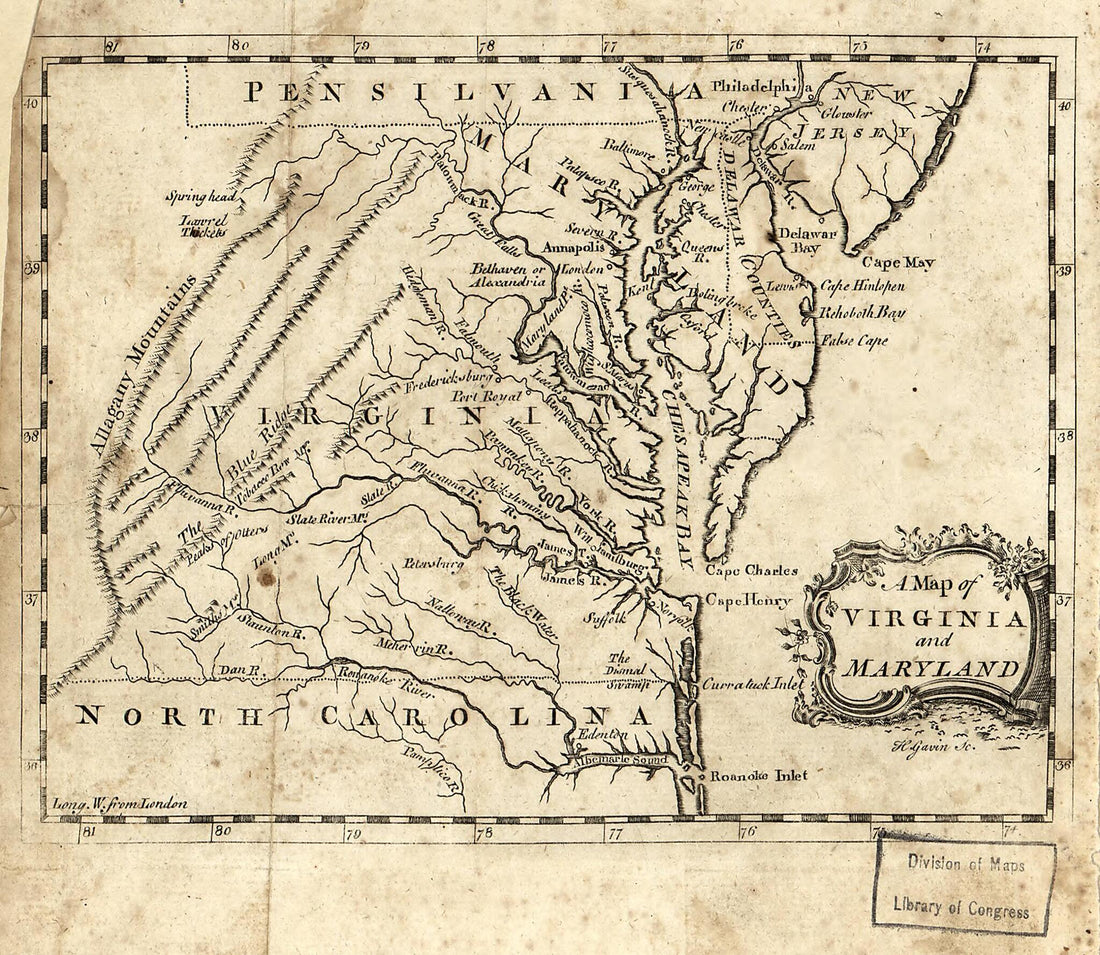 A Map of Virginia and Maryland (Map of Virginia and Maryland) 1767A Map of Virginia and Maryland (Map of Virginia and Maryland) 1767
- Regular price
-
$39.95 $83.95 - Regular price
-
$34.95 - Sale price
-
$39.95 $83.95


