487 products
-
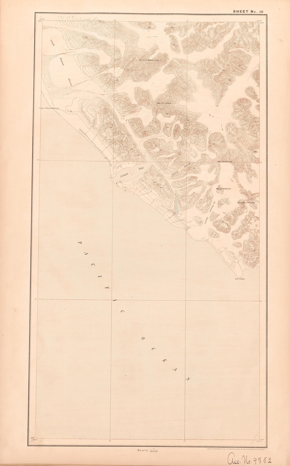 Sheet 16 from Alaskan Boundary Atlas 1895 : Maps of British Commission : to Accompany Joint Report Dated Dec. 31st, 1895Sheet 16 from Alaskan Boundary Atlas 1895 : Maps of British Commission : to Accompany Joint Report Dated Dec. 31st, 1895
- Regular price
-
$39.95 $99.95 - Regular price
-
$36.95 - Sale price
-
$39.95 $99.95
-
 To Accompany International Boundary Commissioners Report of Dec. 31, 1895. Ottawa. Dept. of the Interior from Alaskan Boundary Atlas 1895 : Maps of British Commission : to Accompany Joint Report Dated Dec. 31st, 1895To Accompany International Boundary Commissioners Report of Dec. 31, 1895. Ottawa. Dept. of the Interior from Alaskan Boundary Atlas 1895 : Maps of British Commission : to Accompany Joint Report Dated Dec. 31st, 1895
- Regular price
-
$39.95 $93.95 - Regular price
-
$36.95 - Sale price
-
$39.95 $93.95
-
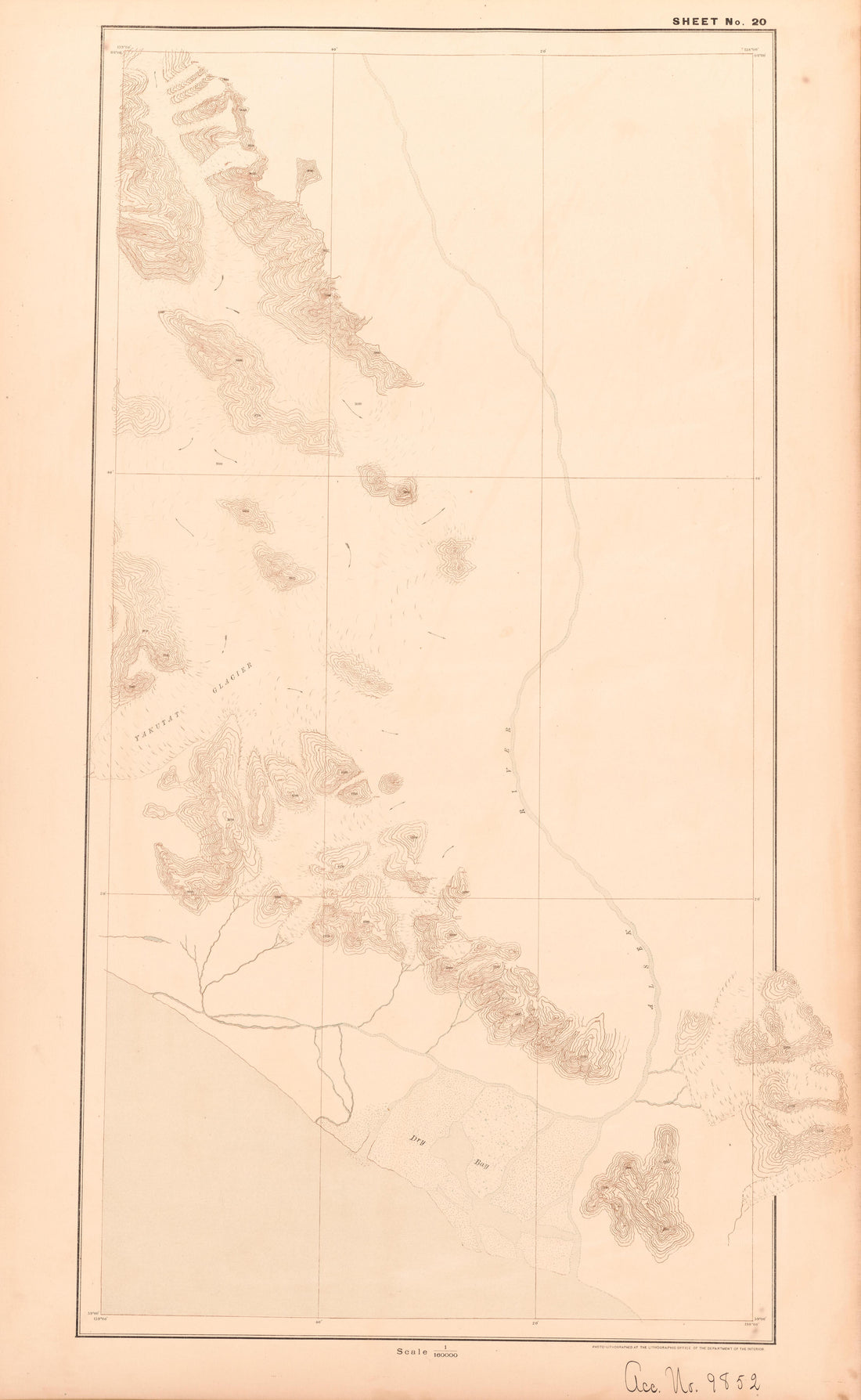 Sheet 20 from Alaskan Boundary Atlas 1895 : Maps of British Commission : to Accompany Joint Report Dated Dec. 31st, 1895Sheet 20 from Alaskan Boundary Atlas 1895 : Maps of British Commission : to Accompany Joint Report Dated Dec. 31st, 1895
- Regular price
-
$39.95 $99.95 - Regular price
-
$36.95 - Sale price
-
$39.95 $99.95
-
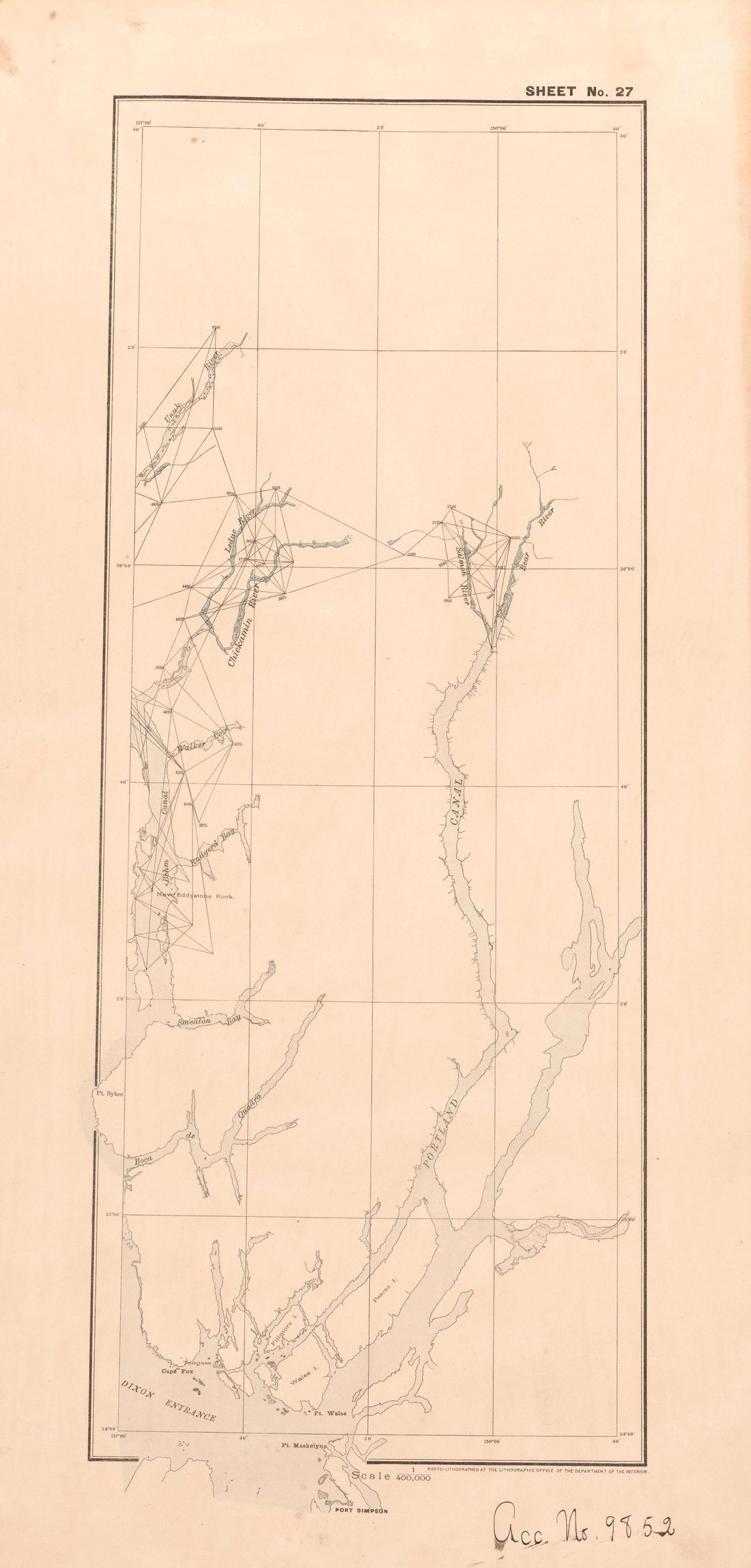 Sheet 27 from Alaskan Boundary Atlas 1895 : Maps of British Commission : to Accompany Joint Report Dated Dec. 31st, 1895Sheet 27 from Alaskan Boundary Atlas 1895 : Maps of British Commission : to Accompany Joint Report Dated Dec. 31st, 1895
- Regular price
-
$39.95 $99.95 - Regular price
-
$36.95 - Sale price
-
$39.95 $99.95
-
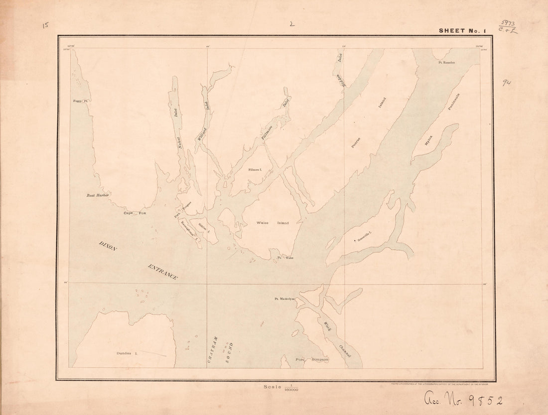 Sheet 1 from Alaskan Boundary Atlas 1895 : Maps of British Commission : to Accompany Joint Report Dated Dec. 31st, 1895Sheet 1 from Alaskan Boundary Atlas 1895 : Maps of British Commission : to Accompany Joint Report Dated Dec. 31st, 1895
- Regular price
-
$39.95 $92.95 - Regular price
-
$36.95 - Sale price
-
$39.95 $92.95
-
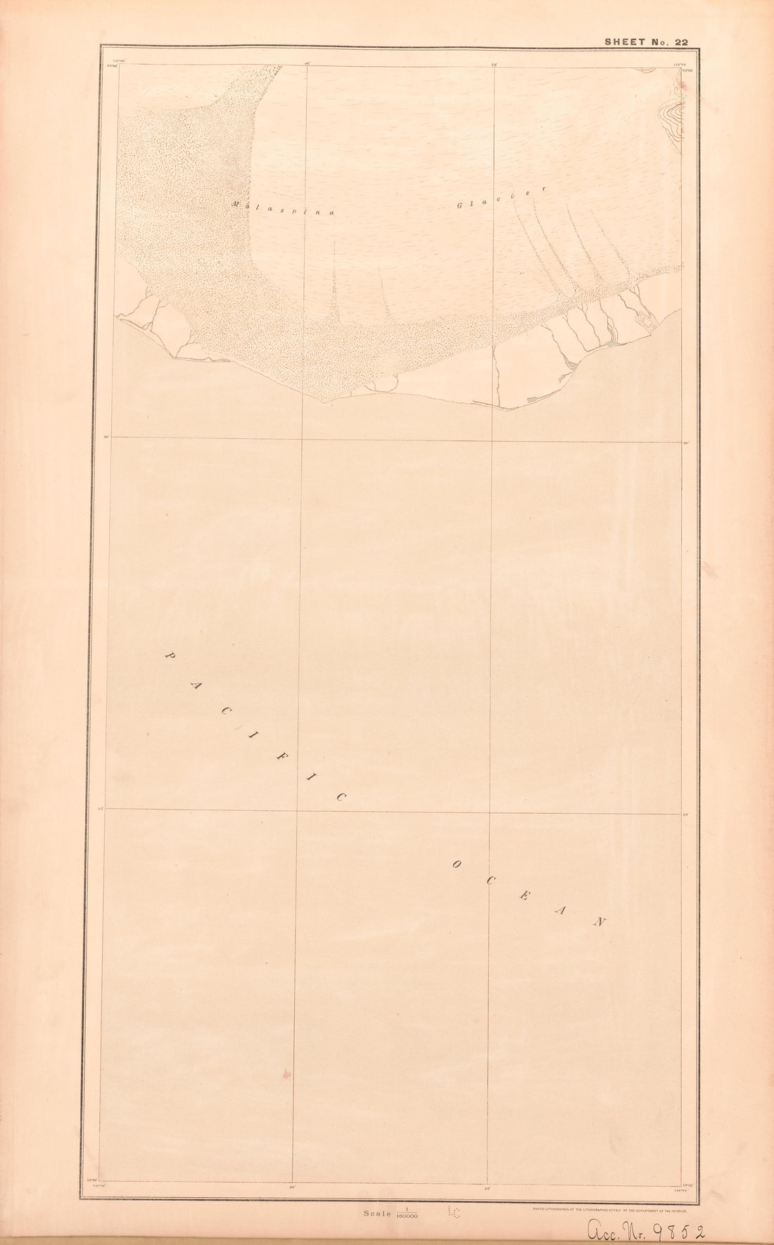 Sheet 22 from Alaskan Boundary Atlas 1895 : Maps of British Commission : to Accompany Joint Report Dated Dec. 31st, 1895Sheet 22 from Alaskan Boundary Atlas 1895 : Maps of British Commission : to Accompany Joint Report Dated Dec. 31st, 1895
- Regular price
-
$39.95 $99.95 - Regular price
-
$36.95 - Sale price
-
$39.95 $99.95
-
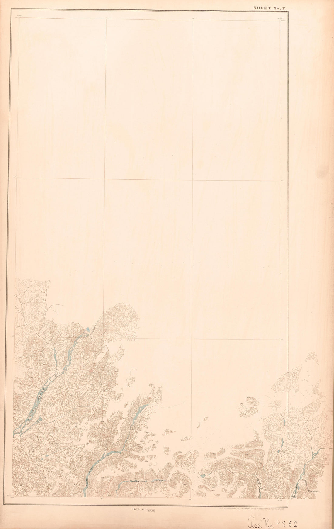 Sheet 7 from Alaskan Boundary Atlas 1895 : Maps of British Commission : to Accompany Joint Report Dated Dec. 31st, 1895Sheet 7 from Alaskan Boundary Atlas 1895 : Maps of British Commission : to Accompany Joint Report Dated Dec. 31st, 1895
- Regular price
-
$39.95 $99.95 - Regular price
-
$37.95 - Sale price
-
$39.95 $99.95
-
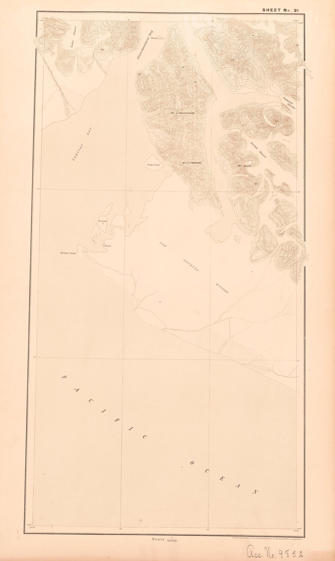 Sheet 21 from Alaskan Boundary Atlas 1895 : Maps of British Commission : to Accompany Joint Report Dated Dec. 31st, 1895Sheet 21 from Alaskan Boundary Atlas 1895 : Maps of British Commission : to Accompany Joint Report Dated Dec. 31st, 1895
- Regular price
-
$39.95 $99.95 - Regular price
-
$36.95 - Sale price
-
$39.95 $99.95
-
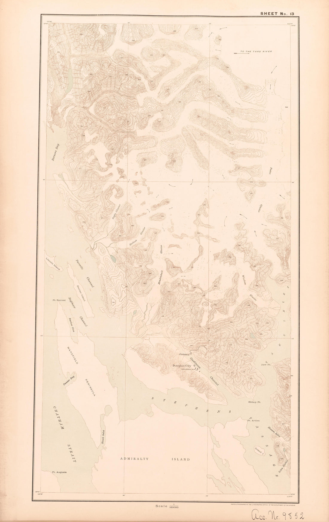 Sheet 13 from Alaskan Boundary Atlas 1895 : Maps of British Commission : to Accompany Joint Report Dated Dec. 31st, 1895Sheet 13 from Alaskan Boundary Atlas 1895 : Maps of British Commission : to Accompany Joint Report Dated Dec. 31st, 1895
- Regular price
-
$39.95 $99.95 - Regular price
-
$36.95 - Sale price
-
$39.95 $99.95
-
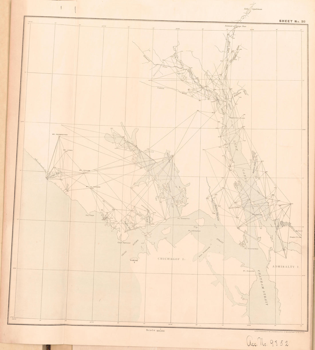 Sheet 25 from Alaskan Boundary Atlas 1895 : Maps of British Commission : to Accompany Joint Report Dated Dec. 31st, 1895Sheet 25 from Alaskan Boundary Atlas 1895 : Maps of British Commission : to Accompany Joint Report Dated Dec. 31st, 1895
- Regular price
-
$39.95 $92.95 - Regular price
-
$36.95 - Sale price
-
$39.95 $92.95
-
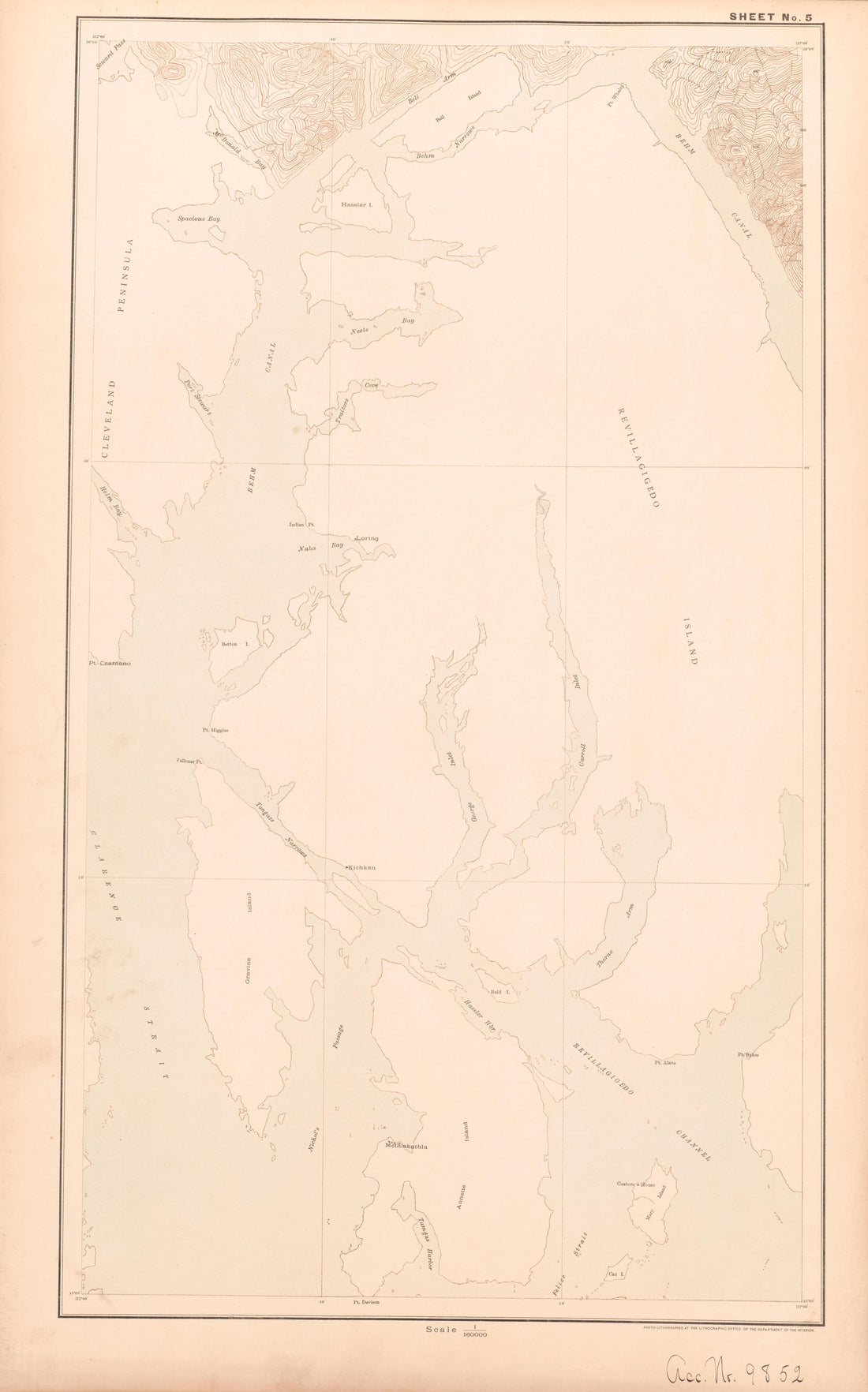 Sheet 5 from Alaskan Boundary Atlas 1895 : Maps of British Commission : to Accompany Joint Report Dated Dec. 31st, 1895Sheet 5 from Alaskan Boundary Atlas 1895 : Maps of British Commission : to Accompany Joint Report Dated Dec. 31st, 1895
- Regular price
-
$39.95 $99.95 - Regular price
-
$36.95 - Sale price
-
$39.95 $99.95
-
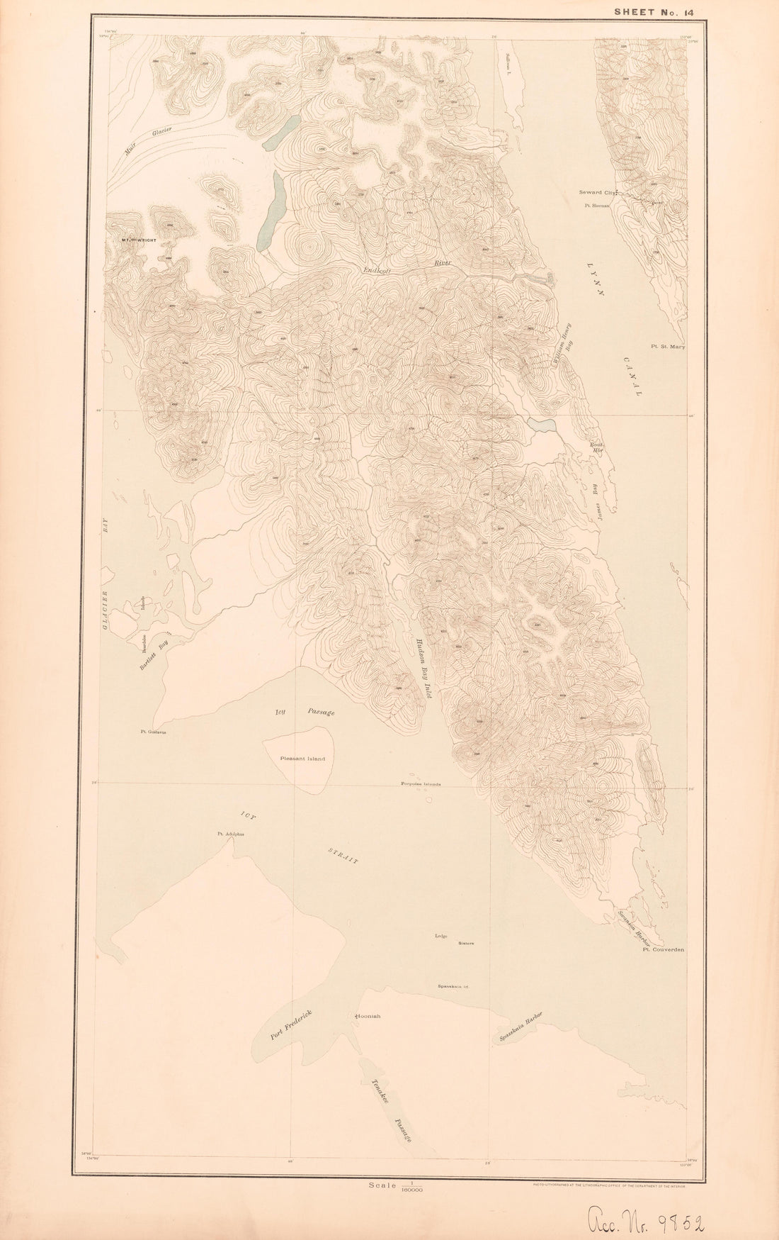 Sheet 14 from Alaskan Boundary Atlas 1895 : Maps of British Commission : to Accompany Joint Report Dated Dec. 31st, 1895Sheet 14 from Alaskan Boundary Atlas 1895 : Maps of British Commission : to Accompany Joint Report Dated Dec. 31st, 1895
- Regular price
-
$39.95 $99.95 - Regular price
-
$36.95 - Sale price
-
$39.95 $99.95


