487 products
-
 Rand, McNally & County's Kentucky from Rand McNally & Co's Business Atlas : Containing Large Scale Maps of Each State and Territory of the United States, the Provinces of Canada, West India Islands, Etc., Etc., Together With a … 1878Rand, McNally & County's Kentucky from Rand McNally & Co's Business Atlas : Containing Large Scale Maps of Each State and Territory of the United States, the Provinces of Canada, West India Islands, Etc., Etc., Together With a … 1878
- Regular price
-
$39.95 $88.95 - Regular price
-
$22.95 - Sale price
-
$39.95 $88.95
-
 Rand, McNally & County's Mississippi from Rand McNally & Co's Business Atlas : Containing Large Scale Maps of Each State and Territory of the United States, the Provinces of Canada, West India Islands, Etc., Etc., Together With a … 1878Rand, McNally & County's Mississippi from Rand McNally & Co's Business Atlas : Containing Large Scale Maps of Each State and Territory of the United States, the Provinces of Canada, West India Islands, Etc., Etc., Together With a … 1878
- Regular price
-
$39.95 $88.95 - Regular price
-
$22.95 - Sale price
-
$39.95 $88.95
-
 Rand, McNally & County's Ohio from Rand McNally & Co's Business Atlas : Containing Large Scale Maps of Each State and Territory of the United States, the Provinces of Canada, West India Islands, Etc., Etc., Together With a … 1878Rand, McNally & County's Ohio from Rand McNally & Co's Business Atlas : Containing Large Scale Maps of Each State and Territory of the United States, the Provinces of Canada, West India Islands, Etc., Etc., Together With a … 1878
- Regular price
-
$39.95 $88.95 - Regular price
-
$22.95 - Sale price
-
$39.95 $88.95
-
 Rand, McNally & County's Michigan from Rand McNally & Co's Business Atlas : Containing Large Scale Maps of Each State and Territory of the United States, the Provinces of Canada, West India Islands, Etc., Etc., Together With a … 1878Rand, McNally & County's Michigan from Rand McNally & Co's Business Atlas : Containing Large Scale Maps of Each State and Territory of the United States, the Provinces of Canada, West India Islands, Etc., Etc., Together With a … 1878
- Regular price
-
$39.95 $88.95 - Regular price
-
$22.95 - Sale price
-
$39.95 $88.95
-
 Rand, McNally & County's Quebec from Rand McNally & Co's Business Atlas : Containing Large Scale Maps of Each State and Territory of the United States, the Provinces of Canada, West India Islands, Etc., Etc., Together With a … 1878Rand, McNally & County's Quebec from Rand McNally & Co's Business Atlas : Containing Large Scale Maps of Each State and Territory of the United States, the Provinces of Canada, West India Islands, Etc., Etc., Together With a … 1878
- Regular price
-
$39.95 $88.95 - Regular price
-
$22.95 - Sale price
-
$39.95 $88.95
-
 Rand, McNally & County's Georgia from Rand McNally & Co's Business Atlas : Containing Large Scale Maps of Each State and Territory of the United States, the Provinces of Canada, West India Islands, Etc., Etc., Together With a … 1878Rand, McNally & County's Georgia from Rand McNally & Co's Business Atlas : Containing Large Scale Maps of Each State and Territory of the United States, the Provinces of Canada, West India Islands, Etc., Etc., Together With a … 1878
- Regular price
-
$39.95 $88.95 - Regular price
-
$22.95 - Sale price
-
$39.95 $88.95
-
 Rand, McNally & County's Maine from Rand McNally & Co's Business Atlas : Containing Large Scale Maps of Each State and Territory of the United States, the Provinces of Canada, West India Islands, Etc., Etc., Together With a … 1878Rand, McNally & County's Maine from Rand McNally & Co's Business Atlas : Containing Large Scale Maps of Each State and Territory of the United States, the Provinces of Canada, West India Islands, Etc., Etc., Together With a … 1878
- Regular price
-
$39.95 $99.95 - Regular price
-
$36.95 - Sale price
-
$39.95 $99.95
-
 Rand, McNally & County's Michigan from Rand McNally & Co's Business Atlas : Containing Large Scale Maps of Each State and Territory of the United States, the Provinces of Canada, West India Islands, Etc., Etc., Together With a … 1878Rand, McNally & County's Michigan from Rand McNally & Co's Business Atlas : Containing Large Scale Maps of Each State and Territory of the United States, the Provinces of Canada, West India Islands, Etc., Etc., Together With a … 1878
- Regular price
-
$39.95 $88.95 - Regular price
-
$23.95 - Sale price
-
$39.95 $88.95
-
 Canada from a New and Elegant General Atlas, Containing Maps of Each of the United States 1817Canada from a New and Elegant General Atlas, Containing Maps of Each of the United States 1817
- Regular price
-
$39.95 $92.95 - Regular price
-
$36.95 - Sale price
-
$39.95 $92.95
-
 Canada from Atlas of Doniphan County, Kansas : Containing Maps of Townships of the County, Maps of State, United States and World : Farmers Directory, Analysis of the System of U.S. Land Surveys 1927Canada from Atlas of Doniphan County, Kansas : Containing Maps of Townships of the County, Maps of State, United States and World : Farmers Directory, Analysis of the System of U.S. Land Surveys 1927
- Regular price
-
$39.95 $88.95 - Regular price
-
$13.95 - Sale price
-
$39.95 $88.95
-
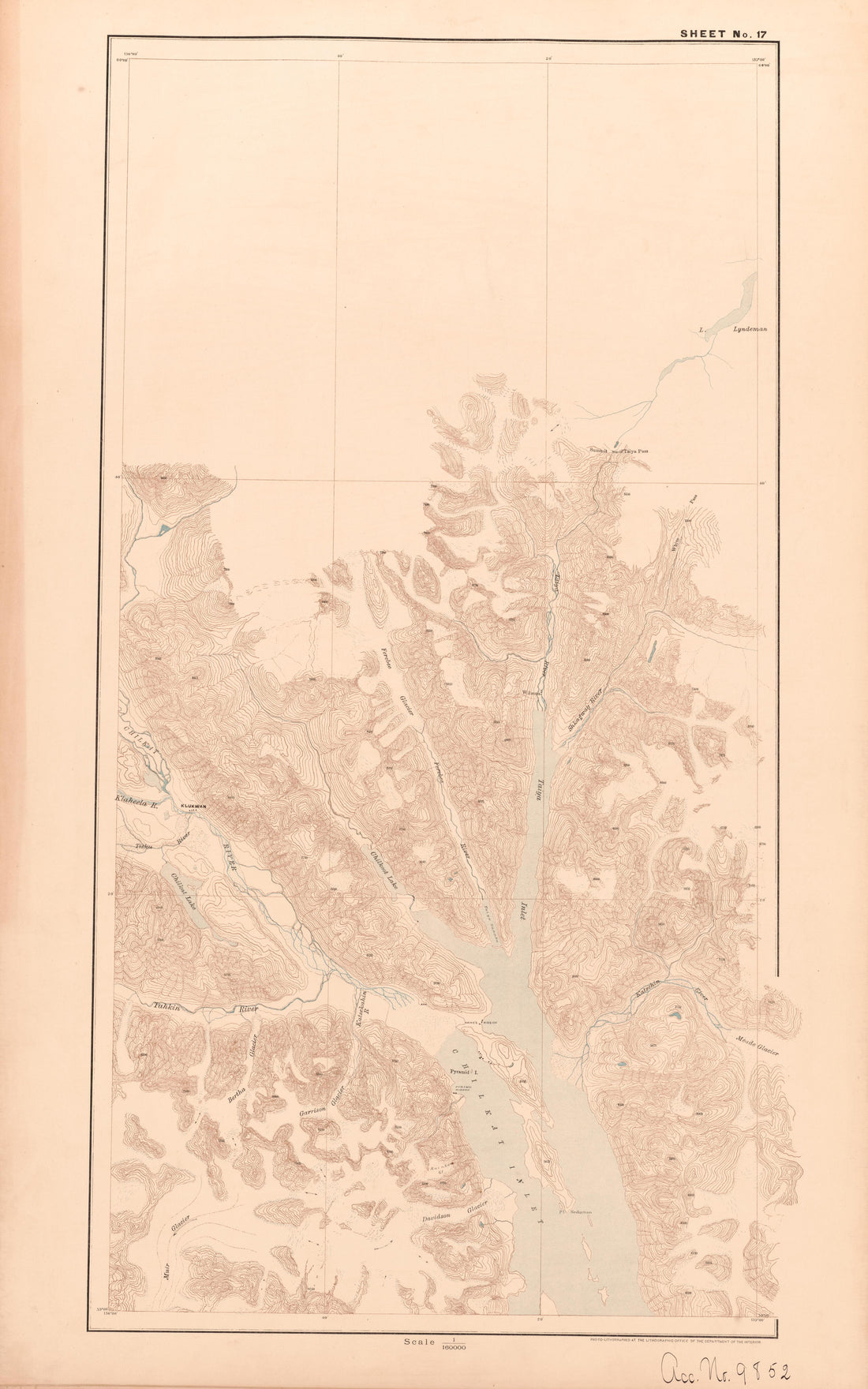 Sheet 17 from Alaskan Boundary Atlas 1895 : Maps of British Commission : to Accompany Joint Report Dated Dec. 31st, 1895Sheet 17 from Alaskan Boundary Atlas 1895 : Maps of British Commission : to Accompany Joint Report Dated Dec. 31st, 1895
- Regular price
-
$39.95 $99.95 - Regular price
-
$36.95 - Sale price
-
$39.95 $99.95
-
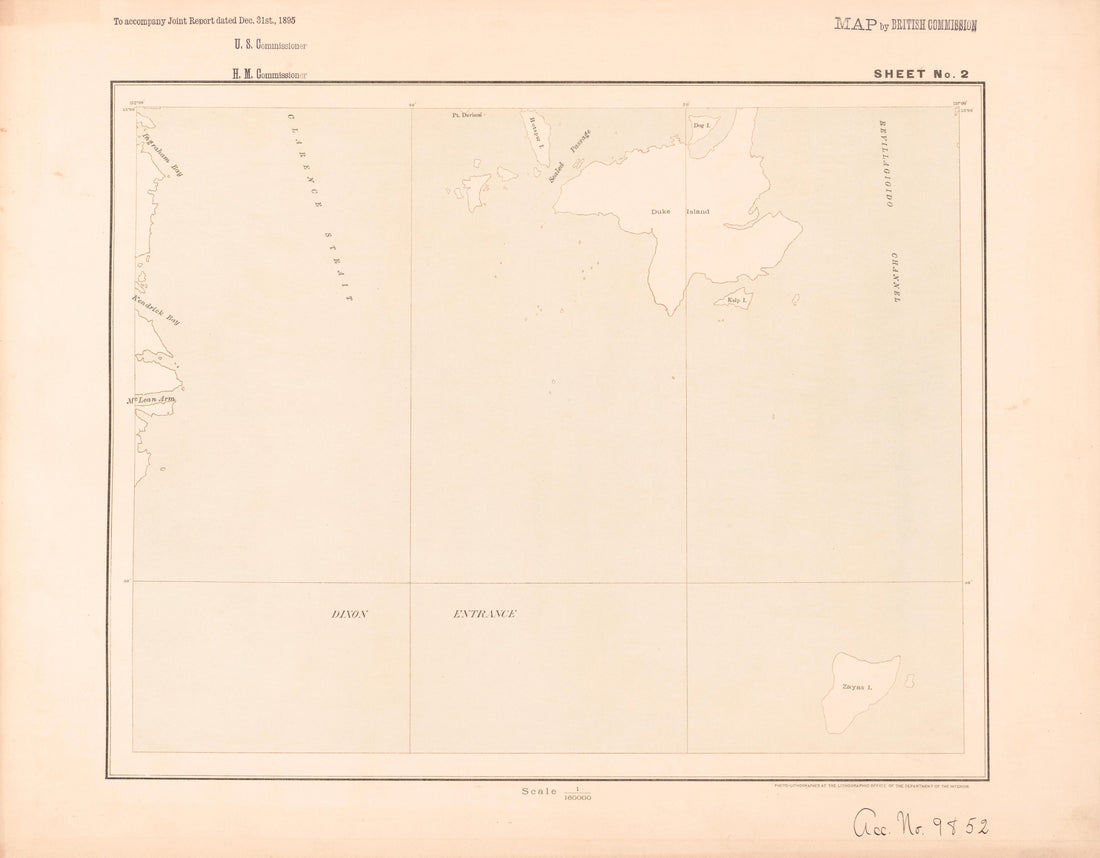 Sheet 2 from Alaskan Boundary Atlas 1895 : Maps of British Commission : to Accompany Joint Report Dated Dec. 31st, 1895Sheet 2 from Alaskan Boundary Atlas 1895 : Maps of British Commission : to Accompany Joint Report Dated Dec. 31st, 1895
- Regular price
-
$39.95 $93.95 - Regular price
-
$36.95 - Sale price
-
$39.95 $93.95


