487 products
-
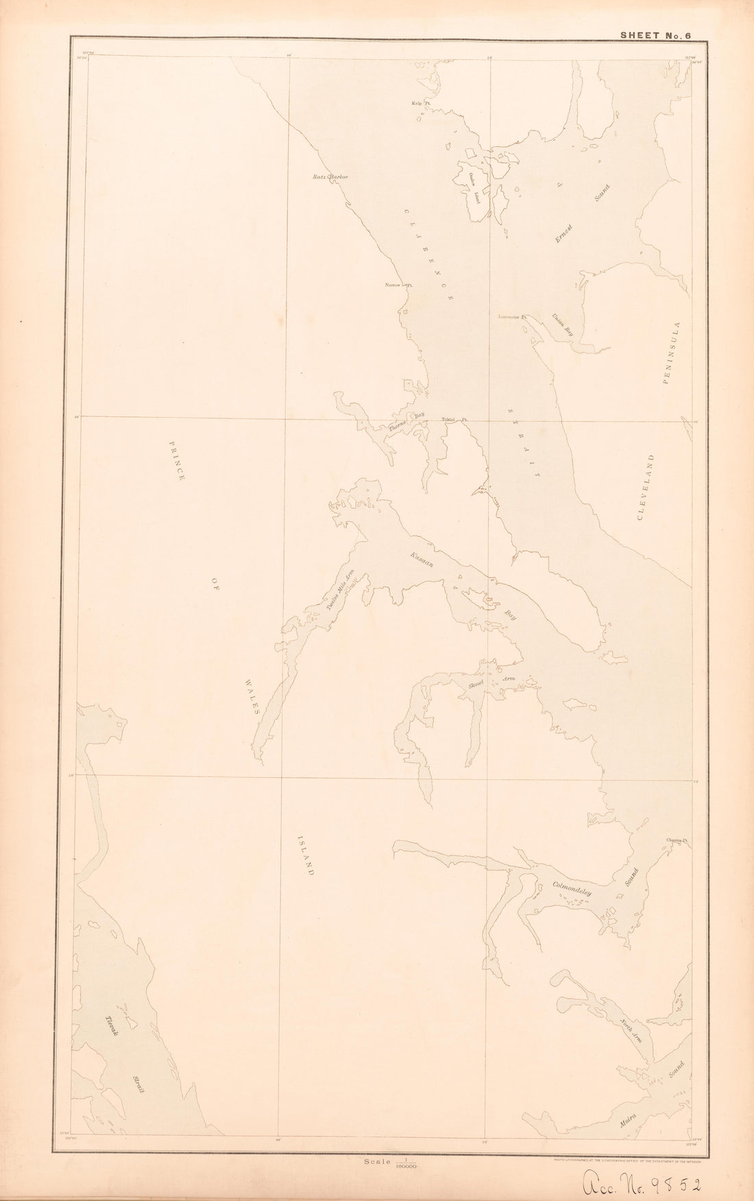 Sheet 6 from Alaskan Boundary Atlas 1895 : Maps of British Commission : to Accompany Joint Report Dated Dec. 31st, 1895Sheet 6 from Alaskan Boundary Atlas 1895 : Maps of British Commission : to Accompany Joint Report Dated Dec. 31st, 1895
- Regular price
-
$39.95 $99.95 - Regular price
-
$36.95 - Sale price
-
$39.95 $99.95
-
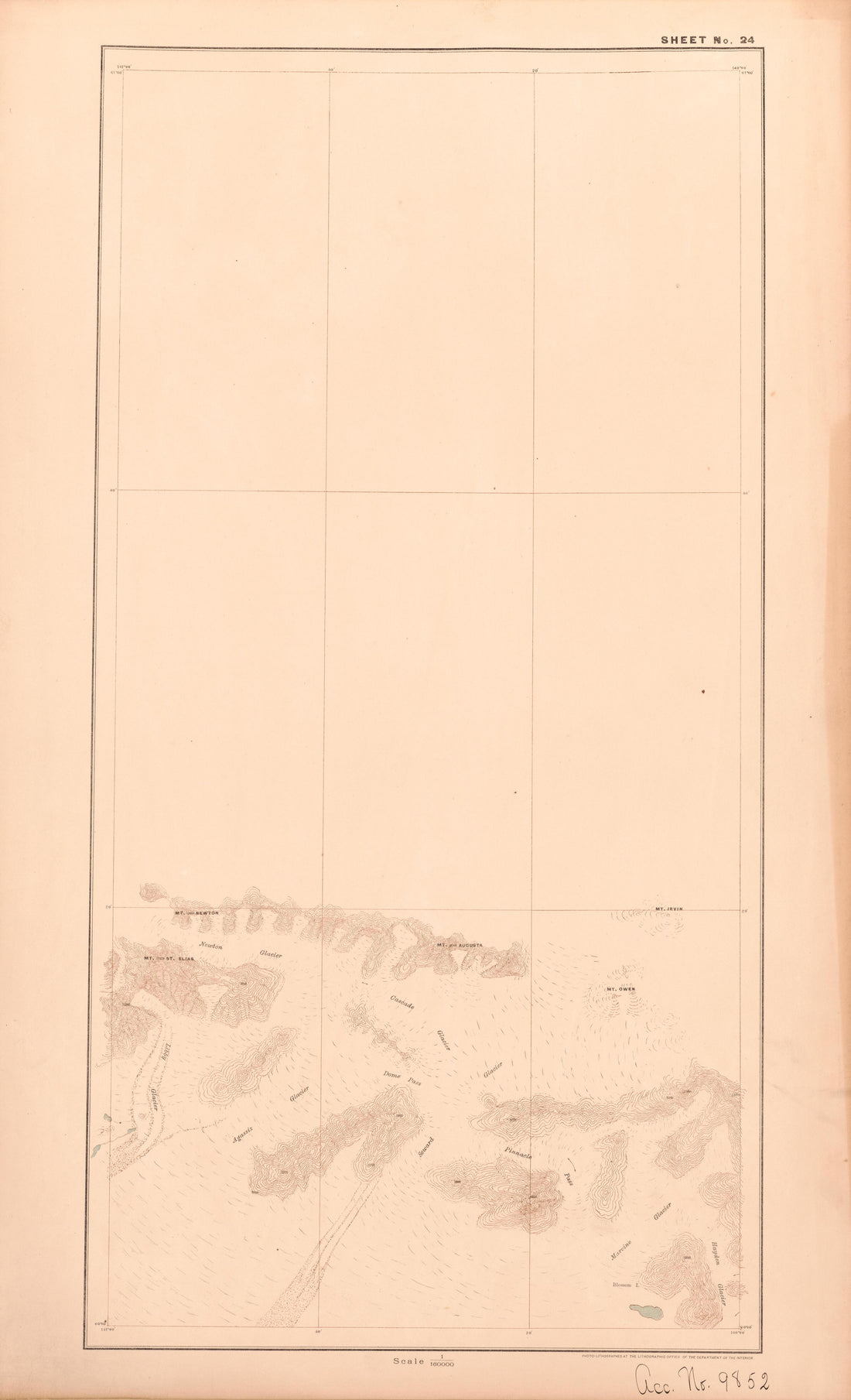 Sheet 24 from Alaskan Boundary Atlas 1895 : Maps of British Commission : to Accompany Joint Report Dated Dec. 31st, 1895Sheet 24 from Alaskan Boundary Atlas 1895 : Maps of British Commission : to Accompany Joint Report Dated Dec. 31st, 1895
- Regular price
-
$39.95 $99.95 - Regular price
-
$36.95 - Sale price
-
$39.95 $99.95
-
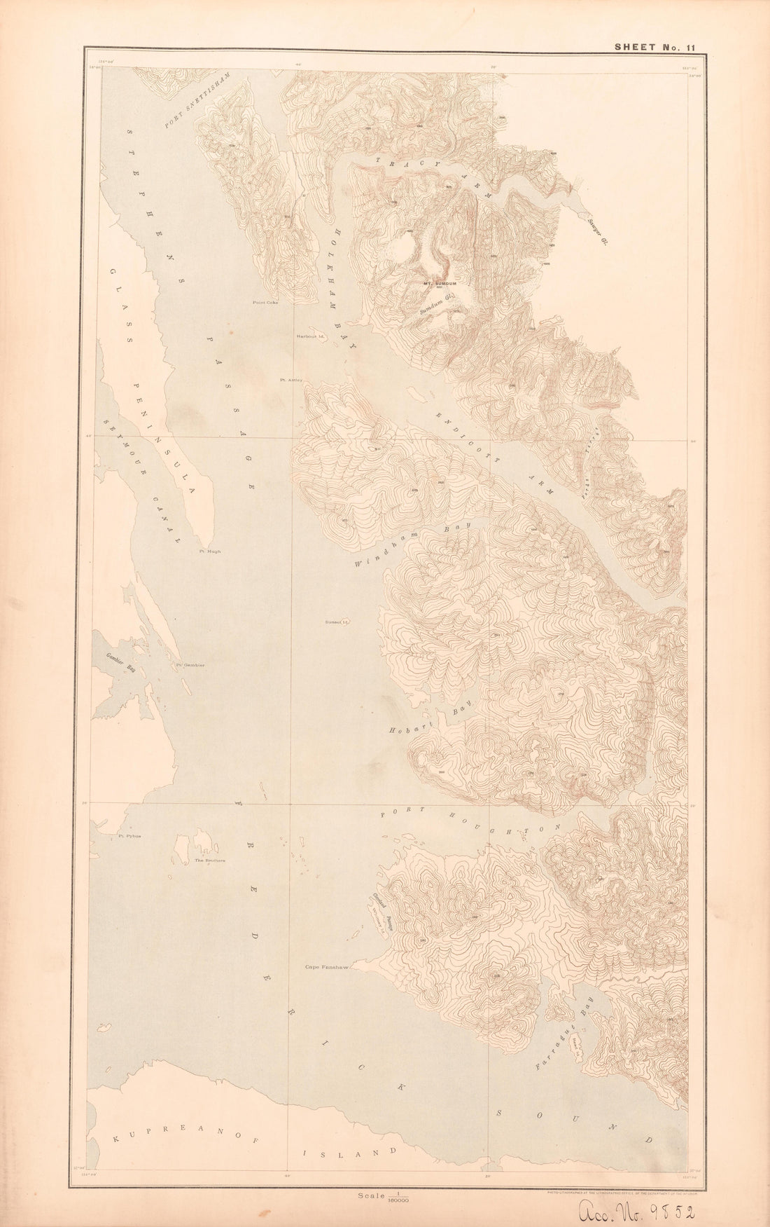 Sheet 11 from Alaskan Boundary Atlas 1895 : Maps of British Commission : to Accompany Joint Report Dated Dec. 31st, 1895Sheet 11 from Alaskan Boundary Atlas 1895 : Maps of British Commission : to Accompany Joint Report Dated Dec. 31st, 1895
- Regular price
-
$39.95 $99.95 - Regular price
-
$36.95 - Sale price
-
$39.95 $99.95
-
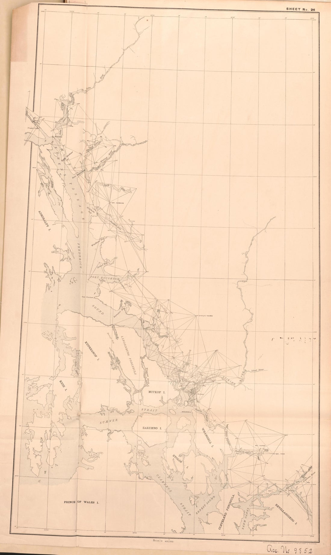 Sheet 26 from Alaskan Boundary Atlas 1895 : Maps of British Commission : to Accompany Joint Report Dated Dec. 31st, 1895Sheet 26 from Alaskan Boundary Atlas 1895 : Maps of British Commission : to Accompany Joint Report Dated Dec. 31st, 1895
- Regular price
-
$39.95 $99.95 - Regular price
-
$36.95 - Sale price
-
$39.95 $99.95
-
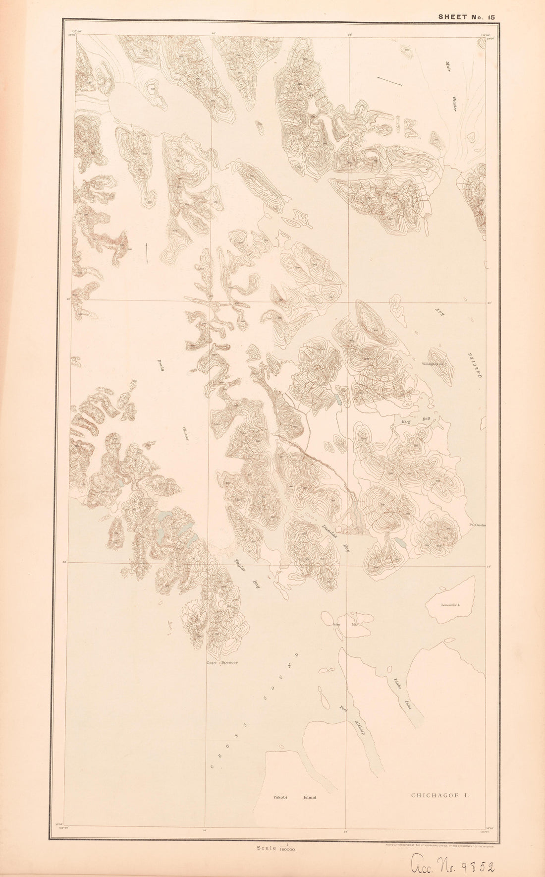 Sheet 15 from Alaskan Boundary Atlas 1895 : Maps of British Commission : to Accompany Joint Report Dated Dec. 31st, 1895Sheet 15 from Alaskan Boundary Atlas 1895 : Maps of British Commission : to Accompany Joint Report Dated Dec. 31st, 1895
- Regular price
-
$39.95 $99.95 - Regular price
-
$36.95 - Sale price
-
$39.95 $99.95
-
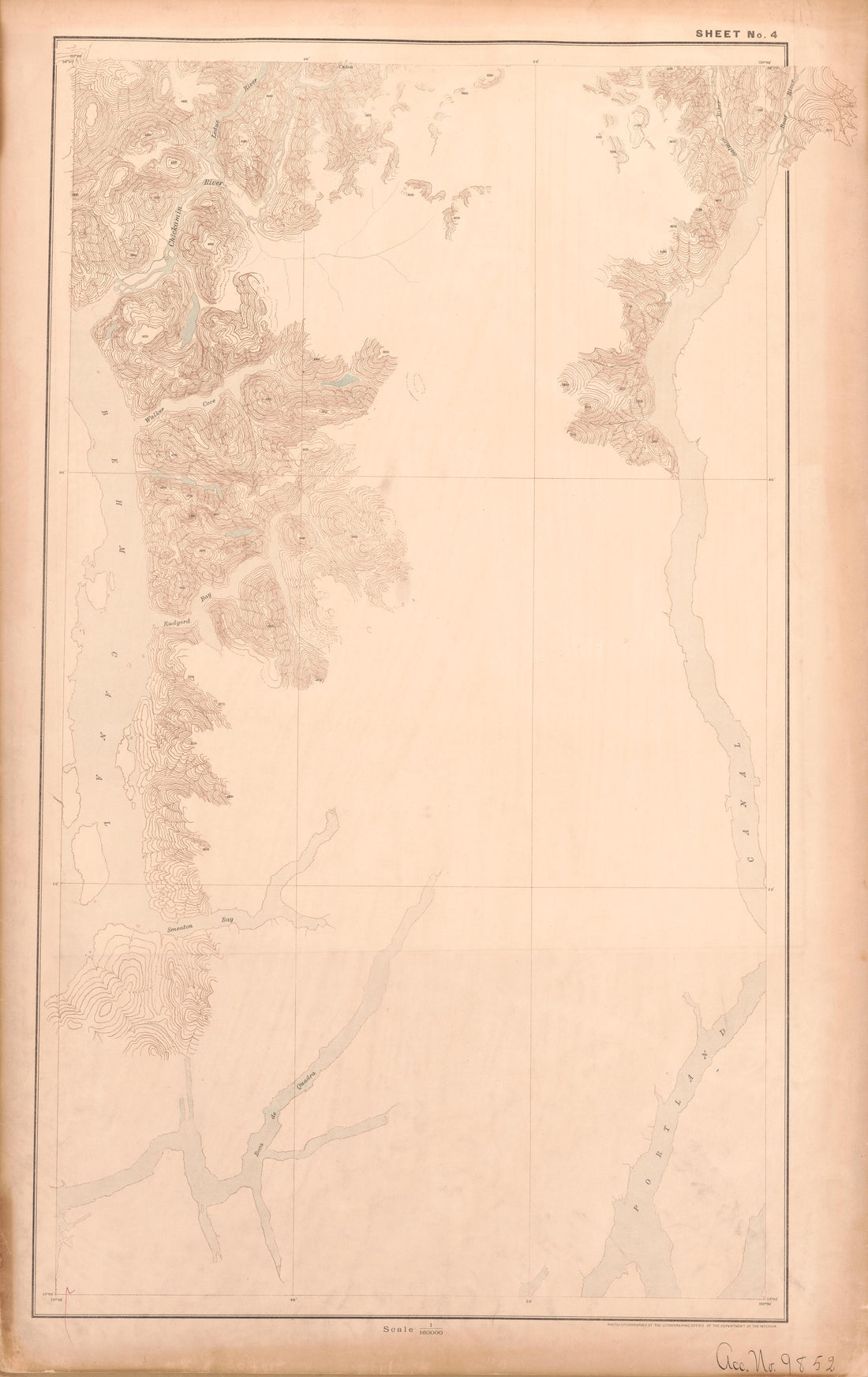 Sheet 4 from Alaskan Boundary Atlas 1895 : Maps of British Commission : to Accompany Joint Report Dated Dec. 31st, 1895Sheet 4 from Alaskan Boundary Atlas 1895 : Maps of British Commission : to Accompany Joint Report Dated Dec. 31st, 1895
- Regular price
-
$39.95 $99.95 - Regular price
-
$36.95 - Sale price
-
$39.95 $99.95
-
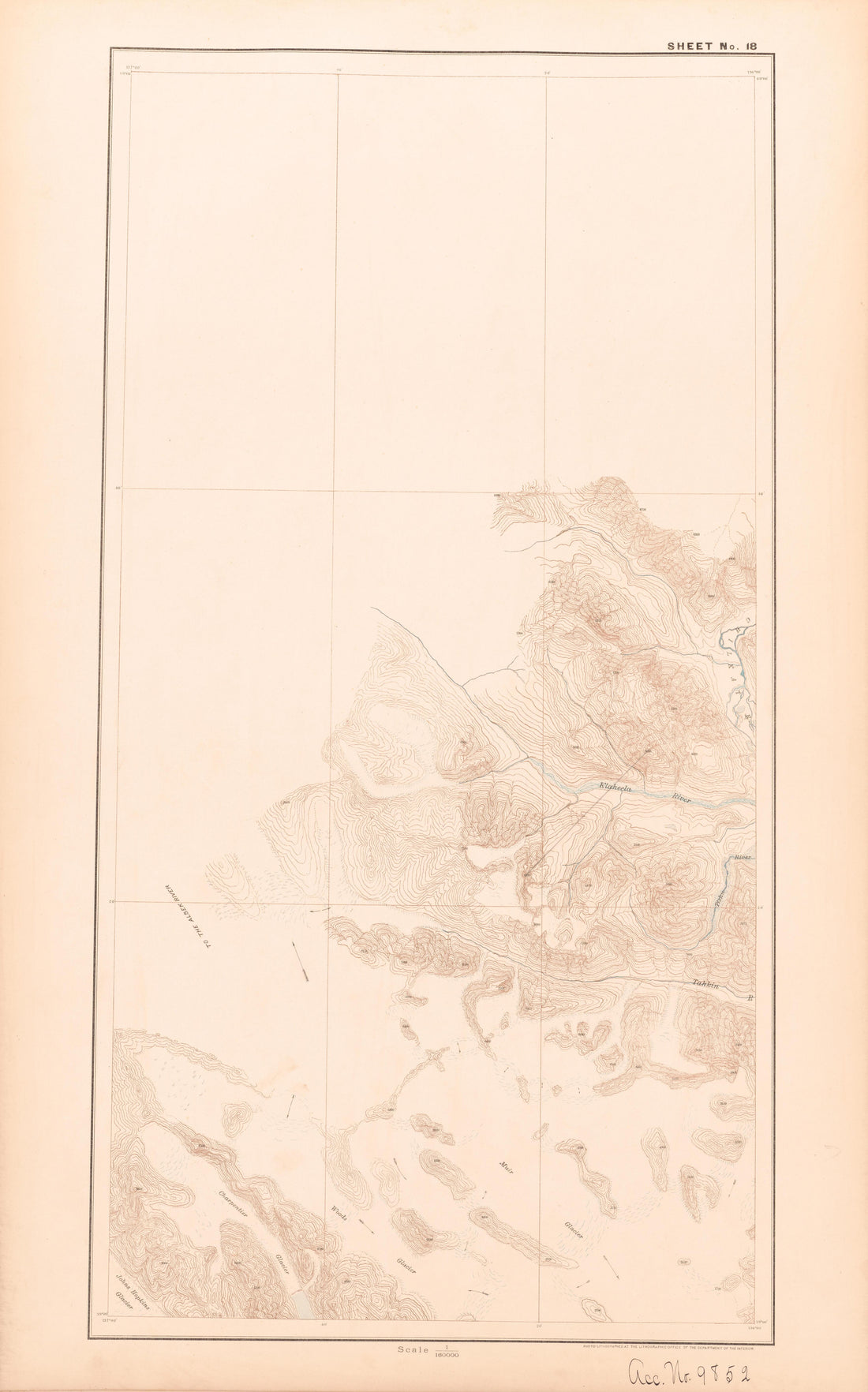 Sheet 18 from Alaskan Boundary Atlas 1895 : Maps of British Commission : to Accompany Joint Report Dated Dec. 31st, 1895Sheet 18 from Alaskan Boundary Atlas 1895 : Maps of British Commission : to Accompany Joint Report Dated Dec. 31st, 1895
- Regular price
-
$39.95 $99.95 - Regular price
-
$36.95 - Sale price
-
$39.95 $99.95
-
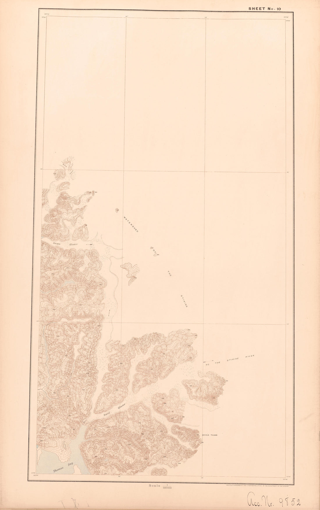 Sheet 10 from Alaskan Boundary Atlas 1895 : Maps of British Commission : to Accompany Joint Report Dated Dec. 31st, 1895Sheet 10 from Alaskan Boundary Atlas 1895 : Maps of British Commission : to Accompany Joint Report Dated Dec. 31st, 1895
- Regular price
-
$39.95 $99.95 - Regular price
-
$36.95 - Sale price
-
$39.95 $99.95
-
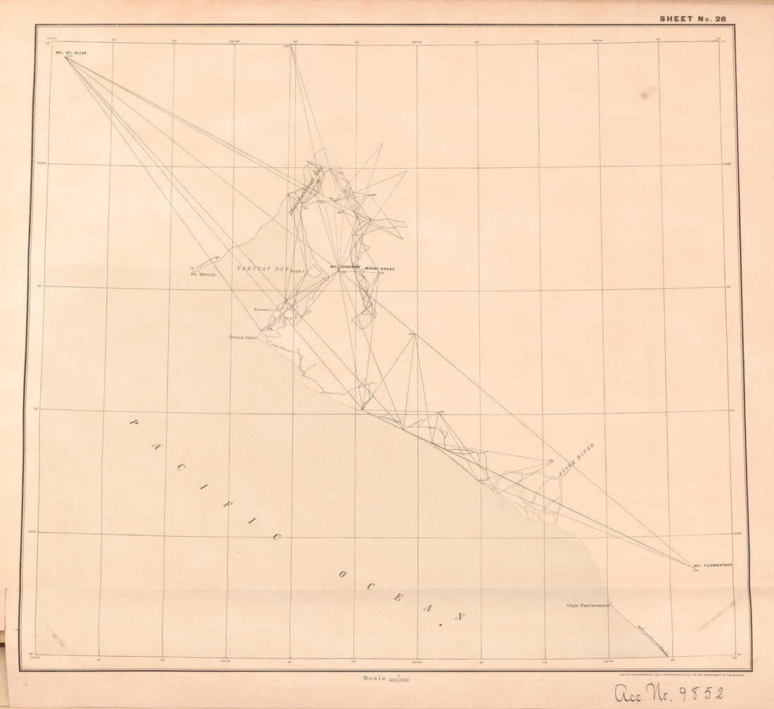 Sheet 28 from Alaskan Boundary Atlas 1895 : Maps of British Commission : to Accompany Joint Report Dated Dec. 31st, 1895Sheet 28 from Alaskan Boundary Atlas 1895 : Maps of British Commission : to Accompany Joint Report Dated Dec. 31st, 1895
- Regular price
-
$39.95 $93.95 - Regular price
-
$36.95 - Sale price
-
$39.95 $93.95
-
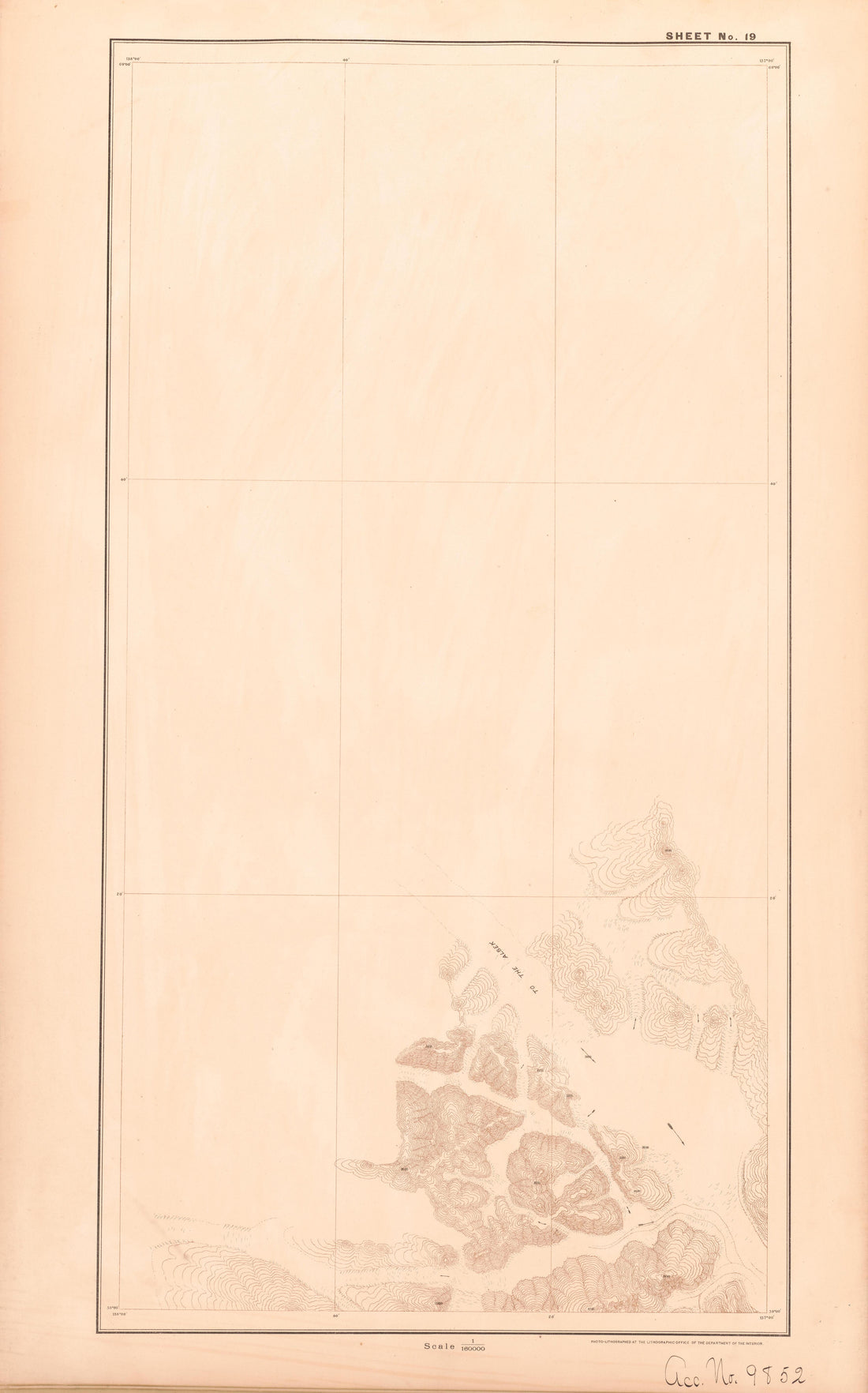 Sheet 19 from Alaskan Boundary Atlas 1895 : Maps of British Commission : to Accompany Joint Report Dated Dec. 31st, 1895Sheet 19 from Alaskan Boundary Atlas 1895 : Maps of British Commission : to Accompany Joint Report Dated Dec. 31st, 1895
- Regular price
-
$39.95 $99.95 - Regular price
-
$36.95 - Sale price
-
$39.95 $99.95
-
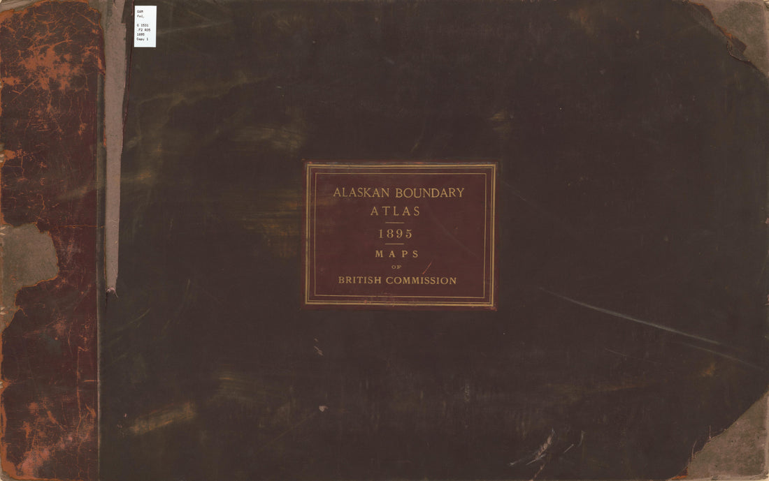 Alaskan Boundary Atlas 1895, Maps of British Commission from Alaskan Boundary Atlas 1895 : Maps of British Commission : to Accompany Joint Report Dated Dec. 31st, 1895Alaskan Boundary Atlas 1895, Maps of British Commission from Alaskan Boundary Atlas 1895 : Maps of British Commission : to Accompany Joint Report Dated Dec. 31st, 1895
- Regular price
-
$39.95 $99.95 - Regular price
-
$36.95 - Sale price
-
$39.95 $99.95
-
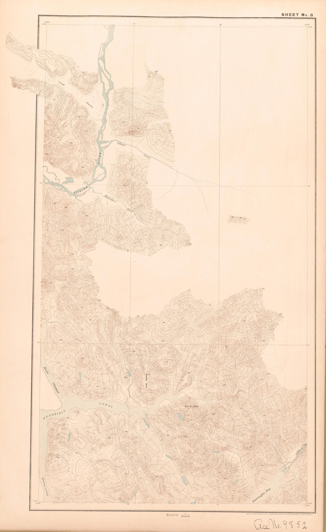 Sheet 8 from Alaskan Boundary Atlas 1895 : Maps of British Commission : to Accompany Joint Report Dated Dec. 31st, 1895Sheet 8 from Alaskan Boundary Atlas 1895 : Maps of British Commission : to Accompany Joint Report Dated Dec. 31st, 1895
- Regular price
-
$39.95 $99.95 - Regular price
-
$36.95 - Sale price
-
$39.95 $99.95


