304 products
-
Railroad Map Showing the Lands of the Standard Coal and Iron County Situated In the Hocking Valley, Ohio, and Their Relation to the Markets of the North and West 1881
 Railroad Map Showing the Lands of the Standard Coal and Iron County Situated In the Hocking Valley, Ohio, and Their Relation to the Markets of the North and West 1881
- Regular price
-
From
$32.95 - Regular price
-
$51.99 - Sale price
-
From
$32.95
-
York Et De La Nouvelle Angleterre, Celles De L'Acadie Ou Nouvelle Ecosse, De L'Île Royale De L'Île St. Jean, Avec L'intérieur Du Pays 1780
 York Et De La Nouvelle Angleterre, Celles De L'Acadie Ou Nouvelle Ecosse, De L'Île Royale De L'Île St. Jean, Avec L'intérieur Du Pays 1780
- Regular price
-
From
$41.95 - Regular price
-
$66.99 - Sale price
-
From
$41.95
-
Partie Occidentale De La Nouvelle France Ou Du Canada 1755
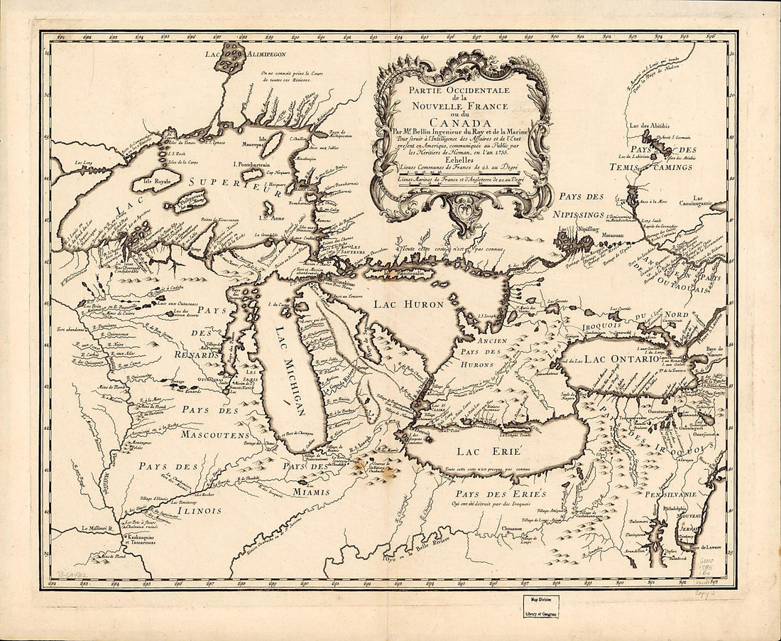 Partie Occidentale De La Nouvelle France Ou Du Canada 1755
- Regular price
-
From
$34.95 - Regular price
-
$49.99 - Sale price
-
From
$34.95
-
A Plan of the Coast From Cape Anne In North Latitude 42⁰42ʹ & 70⁰33ʹ West Longitude From Greenwich: ... to Isle Scattery In Long. 50⁰40ʹ & Latitude 46⁰ 0ʹ North, ... Including the Isle of Sable in 1775
 A Plan of the Coast From Cape Anne In North Latitude 42⁰42ʹ & 70⁰33ʹ West Longitude From Greenwich: ... to Isle Scattery In Long. 50⁰40ʹ & Latitude 46⁰ 0ʹ North, ... Including the Isle of Sable in 1775
- Regular price
-
From
$41.95 - Regular price
-
$66.99 - Sale price
-
From
$41.95
-
The Provinces of New York and New Jersey; With Part of Pensilvania, and the Province of Quebec in 1776
 The Provinces of New York and New Jersey; With Part of Pensilvania, and the Province of Quebec in 1776
- Regular price
-
From
$41.95 - Regular price
-
$66.99 - Sale price
-
From
$41.95
-
Map of Nova Scotia, Or Acadia; With the Islands of Cape Breton and St. John's, From Actual Surveys in 1768
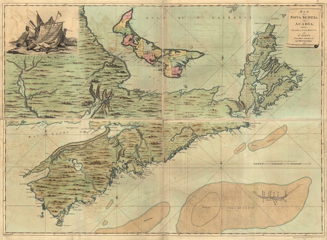 Map of Nova Scotia, Or Acadia; With the Islands of Cape Breton and St. John's, From Actual Surveys in 1768
- Regular price
-
From
$32.95 - Regular price
-
$51.99 - Sale price
-
From
$32.95
-
Plan De La Ville De Québec 1750
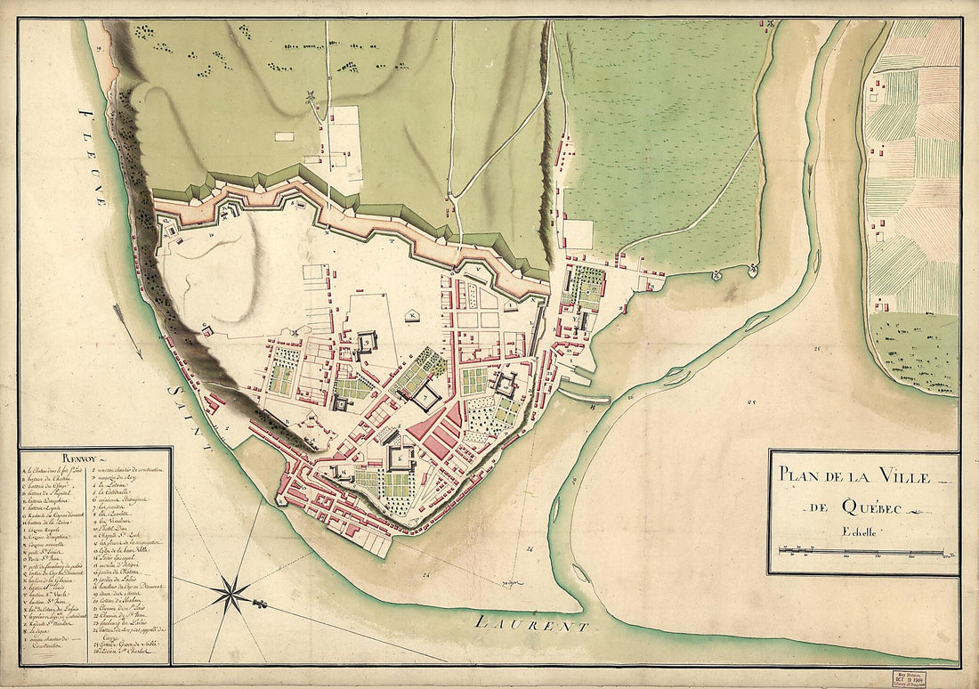 Plan De La Ville De Québec 1750
- Regular price
-
From
$41.95 - Regular price
-
$66.99 - Sale price
-
From
$41.95
-
Plan Du Port De Chibouctou à La Côte De L'Acadie Avec Les Côtes Voisines 1778
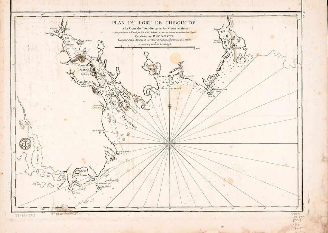 Plan Du Port De Chibouctou à La Côte De L'Acadie Avec Les Côtes Voisines 1778
- Regular price
-
From
$32.95 - Regular price
-
$51.99 - Sale price
-
From
$32.95
-
Plan of Quebec, the Capital of Canada In North America, With the Bason and Part of the Adjacent Contry sic Shewing the Principal Encampments and Works of the British Army Commanded by Maior General Wolfe and Those of the French Army Commanded by Lieut...
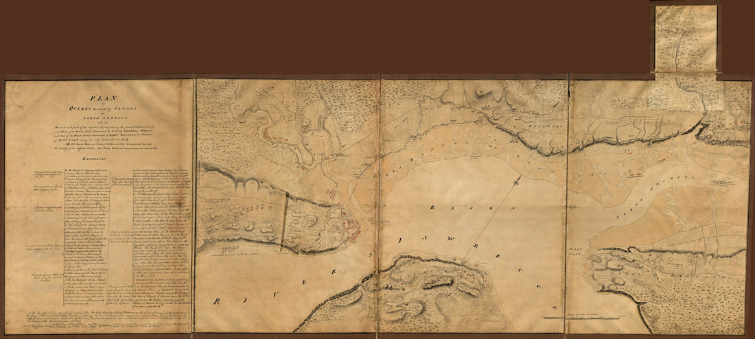 Plan of Quebec, the Capital of Canada In North America, With the Bason and Part of the Adjacent Contry sic Shewing the Principal Encampments and Works of the British Army Commanded by Maior General Wolfe and Those of the French Army Commanded by Lieut...
- Regular price
-
From
$41.95 - Regular price
-
$66.99 - Sale price
-
From
$41.95
-
A Chart Shewing Part of the Coast of N.W. America : With the Tracks of His Majesty's Sloop Discovery and Armed Tender Chatham 1798
 A Chart Shewing Part of the Coast of N.W. America : With the Tracks of His Majesty's Sloop Discovery and Armed Tender Chatham 1798
- Regular price
-
From
$34.95 - Regular price
-
$49.99 - Sale price
-
From
$34.95
-
Road Road Route from Boston, Massachusetts to Chicago, Illinois 1859
 Road Road Route from Boston, Massachusetts to Chicago, Illinois 1859
- Regular price
-
From
$19.95 - Regular price
-
$29.95 - Sale price
-
From
$19.95
-
Map of the United States and Canada in 1847
 Map of the United States and Canada in 1847
- Regular price
-
From
$41.95 - Regular price
-
$66.99 - Sale price
-
From
$41.95


