487 products
-
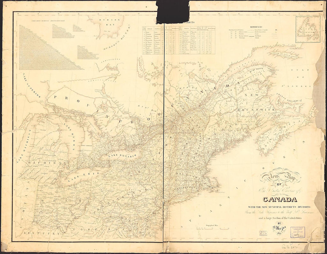 New Map of the United Provinces of Canada : With the New Municipal Districts Divisions from the Lake Superior to the Gulf of St. Lawrence and a Large Section of the United States 1842New Map of the United Provinces of Canada : With the New Municipal Districts Divisions from the Lake Superior to the Gulf of St. Lawrence and a Large Section of the United States 1842
- Regular price
-
$43.95 $160.95 - Regular price
-
$38.95 - Sale price
-
$43.95 $160.95
-
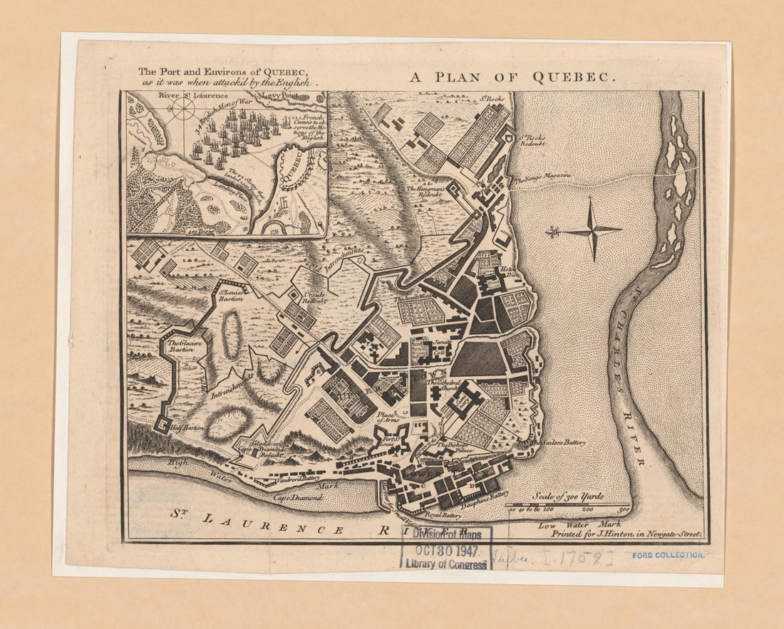
 A Plan of Quebec 1759A Plan of Quebec 1759
- Regular price
-
$39.95 $83.95 - Regular price
-
$34.95 - Sale price
-
$39.95 $83.95
-
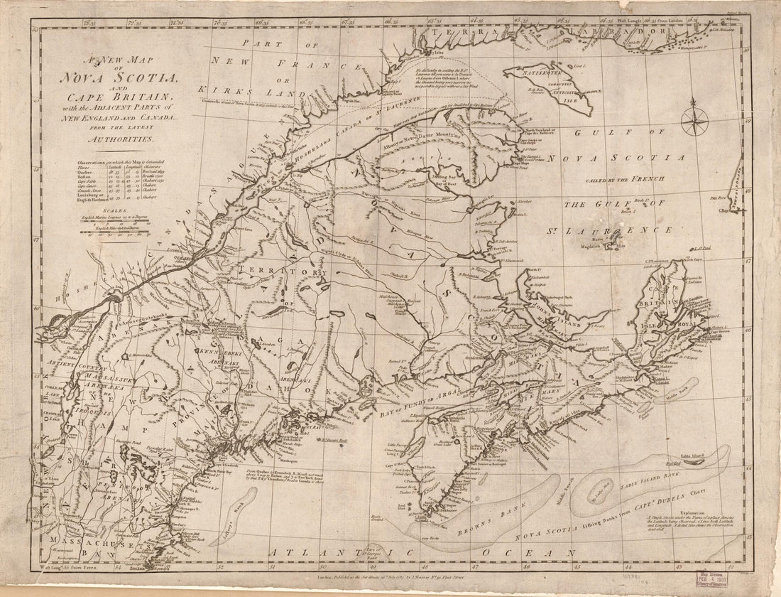 A New Map of Nova Scotia and Cape Britain, With the Adjacent Part of New England and Canada from the Latest Authorities 1785A New Map of Nova Scotia and Cape Britain, With the Adjacent Part of New England and Canada from the Latest Authorities 1785
- Regular price
-
$43.95 $88.95 - Regular price
-
$38.95 - Sale price
-
$43.95 $88.95
-
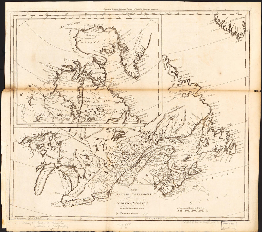 The British Possessions In North America : from the Best Authorities 1794The British Possessions In North America : from the Best Authorities 1794
- Regular price
-
$43.95 $83.95 - Regular price
-
$38.95 - Sale price
-
$43.95 $83.95
-
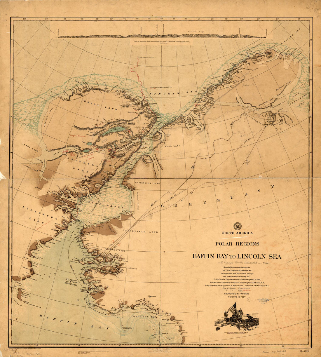 North America Polar Regions, Baffin Bay to Lincoln Sea. (North America Polar Regions Baffin Bay to Lincoln Sea) 1903North America Polar Regions, Baffin Bay to Lincoln Sea. (North America Polar Regions Baffin Bay to Lincoln Sea) 1903
- Regular price
-
$43.95 $133.95 - Regular price
-
$38.95 - Sale price
-
$43.95 $133.95
-
 Map of the New Discovery Made by the Jesuit Fathers In 1672 and Continued by Father Jacques Marquette, from the Same Group, Accompanied by a Few Frenchmen In the Year 1673, Named Manitounie. (Carte De La Nouvelle Découverte Que Les RR. Pères Jésuit...Map of the New Discovery Made by the Jesuit Fathers In 1672 and Continued by Father Jacques Marquette, from the Same Group, Accompanied by a Few Frenchmen In the Year 1673, Named Manitounie. (Carte De La Nouvelle Découverte Que Les RR. Pères Jésuit...
- Regular price
-
$39.95 $99.95 - Regular price
-
$34.95 - Sale price
-
$39.95 $99.95
-
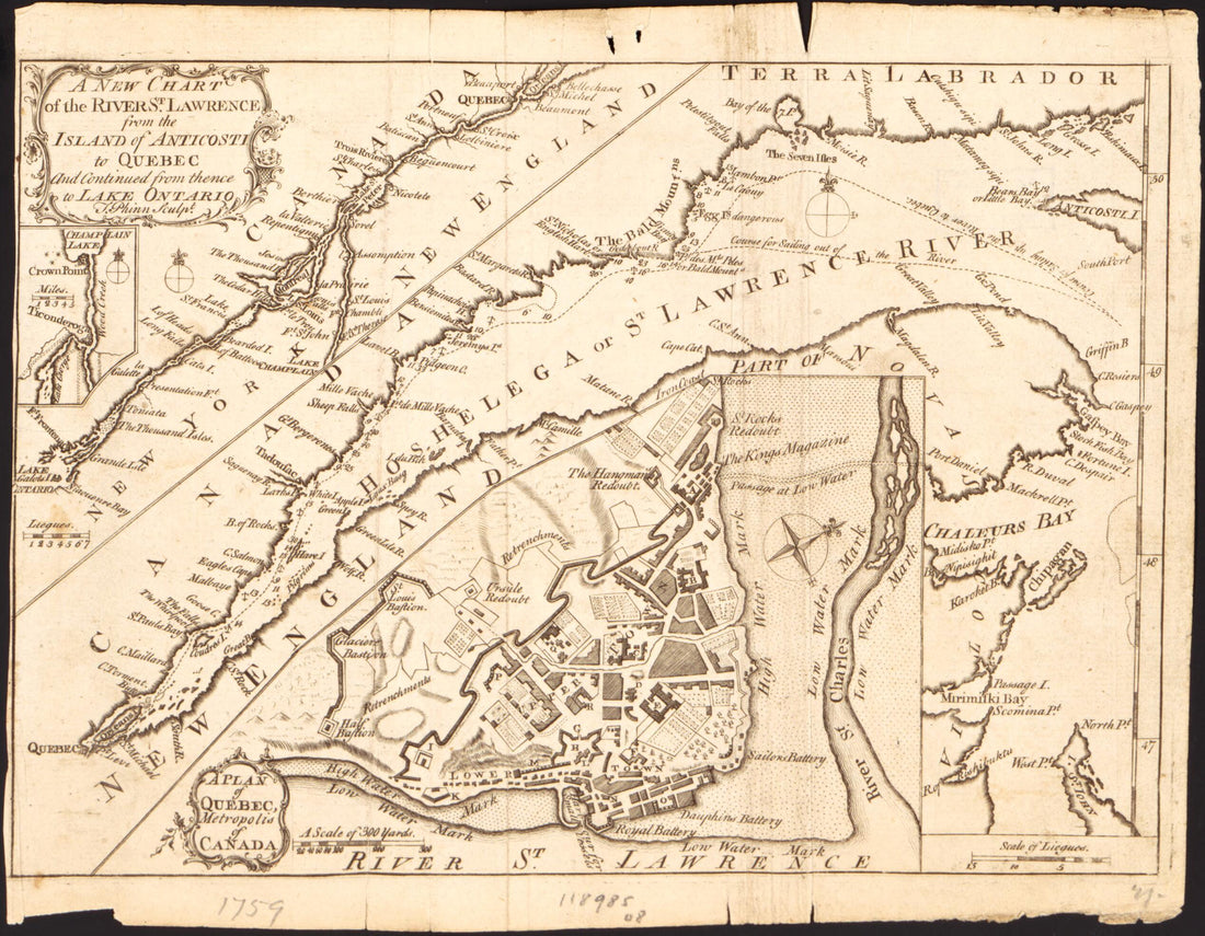 A New Chart of the River St. Lawrence from the Island of Anticosti to Quebec and Continued from Thence to Lake Ontario 1759A New Chart of the River St. Lawrence from the Island of Anticosti to Quebec and Continued from Thence to Lake Ontario 1759
- Regular price
-
$39.95 $83.95 - Regular price
-
$34.95 - Sale price
-
$39.95 $83.95
-
 Rand McNally & Co's Business Atlas : Containing Large Scale Maps of Each State and Territory of the United States, the Provinces of Canada, West India Islands, Etc., Etc., Together With a Complete Reference Map of the World ... Accompanied by a New an...Rand McNally & Co's Business Atlas : Containing Large Scale Maps of Each State and Territory of the United States, the Provinces of Canada, West India Islands, Etc., Etc., Together With a Complete Reference Map of the World ... Accompanied by a New an...
- Regular price
-
$39.95 $88.95 - Regular price
-
$34.95 - Sale price
-
$39.95 $88.95
-
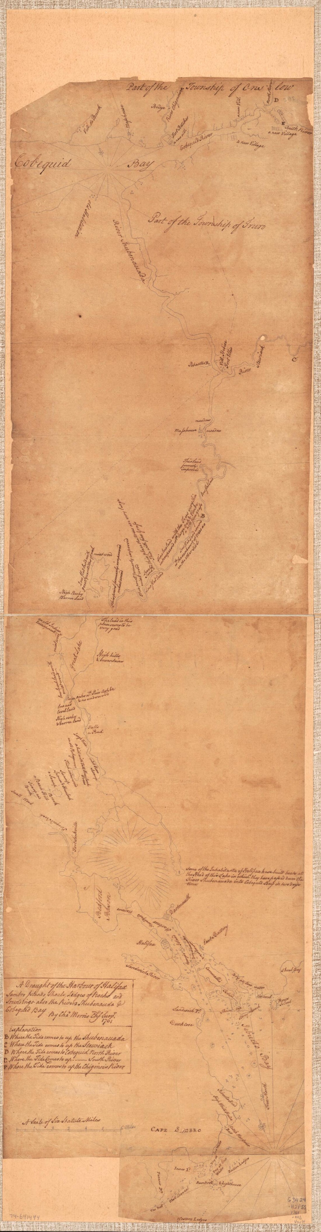 A Plan of the Town & Harbour of Halifax In Nova Scotia. (Plan of the Town and Harbour of Halifax In Nova Scotia) 1760A Plan of the Town & Harbour of Halifax In Nova Scotia. (Plan of the Town and Harbour of Halifax In Nova Scotia) 1760
- Regular price
-
$46.95 $99.95 - Regular price
-
$41.95 - Sale price
-
$46.95 $99.95
-
 New Map of the United Provinces of Canada : With the New Municipal Districts Divisions from the Lake Superior to the Gulf of St. Lawrence and a Large Section of the United States 1842New Map of the United Provinces of Canada : With the New Municipal Districts Divisions from the Lake Superior to the Gulf of St. Lawrence and a Large Section of the United States 1842
- Regular price
-
$43.95 $175.95 - Regular price
-
$38.95 - Sale price
-
$43.95 $175.95
-
 A Plan of Quebec 1759A Plan of Quebec 1759
- Regular price
-
$39.95 $83.95 - Regular price
-
$34.95 - Sale price
-
$39.95 $83.95
-
 En Amerique Quebec ; Louisbourg in 1755En Amerique Quebec ; Louisbourg in 1755
- Regular price
-
$39.95 $83.95 - Regular price
-
$34.95 - Sale price
-
$39.95 $83.95


