487 products
-
 A Plan of the Harbour of Chebucto and Town of Halifax 1750A Plan of the Harbour of Chebucto and Town of Halifax 1750
- Regular price
-
$39.95 $83.95 - Regular price
-
$30.95 - Sale price
-
$39.95 $83.95
-
 Map of Belcher Islands in 1909Map of Belcher Islands in 1909
- Regular price
-
$39.95 $83.95 - Regular price
-
$34.95 - Sale price
-
$39.95 $83.95
-
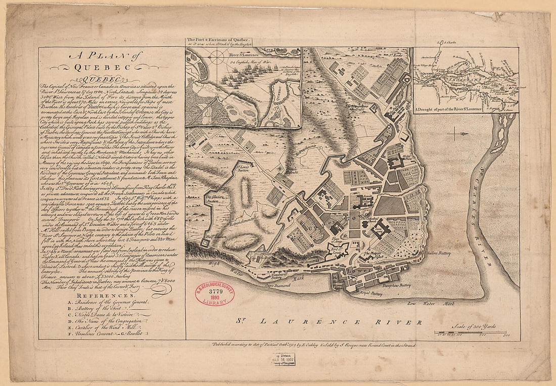 A Plan of Quebec 1759A Plan of Quebec 1759
- Regular price
-
$46.95 $151.95 - Regular price
-
$41.95 - Sale price
-
$46.95 $151.95
-
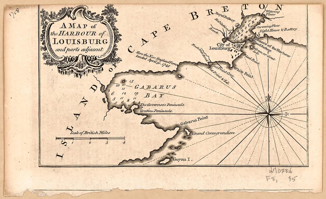 A Map of the Harbour of Louisburg and Parts Adjacent 1758A Map of the Harbour of Louisburg and Parts Adjacent 1758
- Regular price
-
$39.95 $99.95 - Regular price
-
$34.95 - Sale price
-
$39.95 $99.95
-
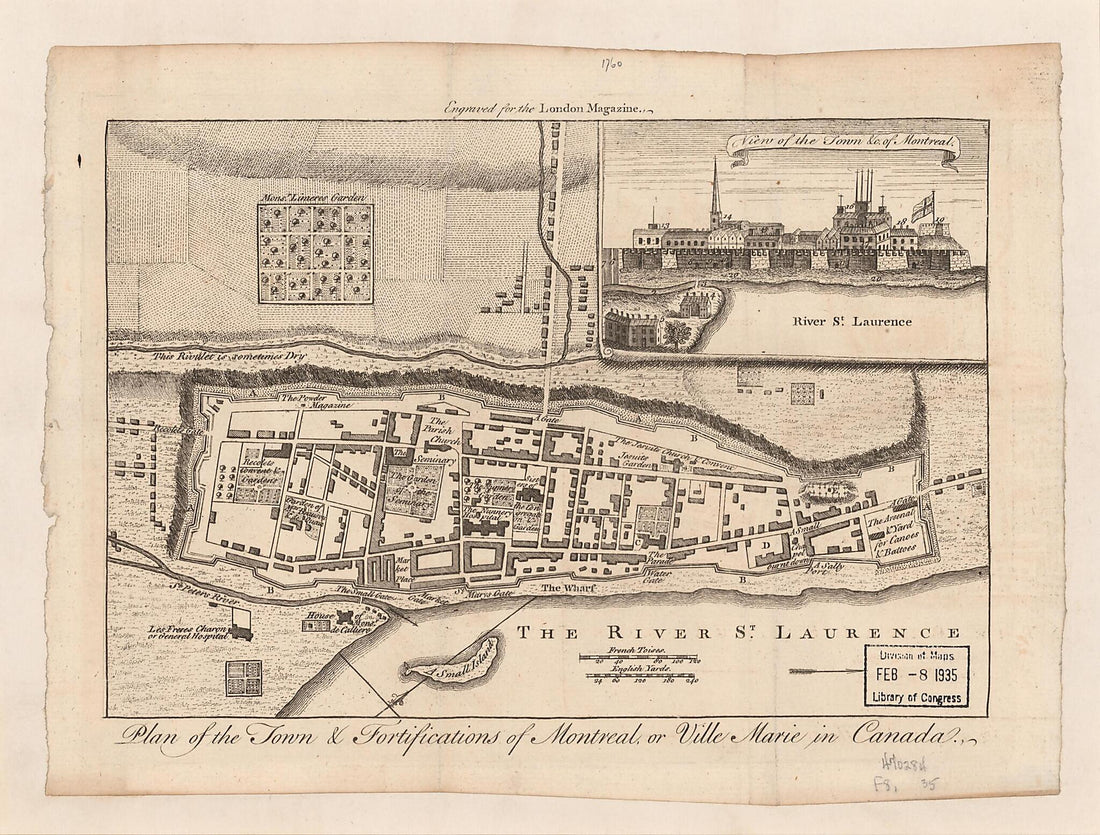 Plan of the Town & Fortifications of Montreal, Or Ville Marie In Canada (Plan of the Town and Fortifications of Montreal, Or Ville Marie In Canada) 1760Plan of the Town & Fortifications of Montreal, Or Ville Marie In Canada (Plan of the Town and Fortifications of Montreal, Or Ville Marie In Canada) 1760
- Regular price
-
$39.95 $88.95 - Regular price
-
$34.95 - Sale price
-
$39.95 $88.95
-
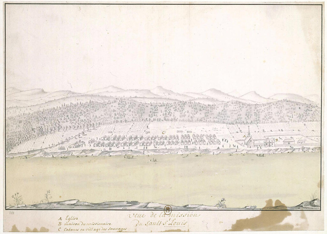 Saint-Louis. (Vue De La Mission Du Sault St Louis) 1730Saint-Louis. (Vue De La Mission Du Sault St Louis) 1730
- Regular price
-
$39.95 $88.95 - Regular price
-
$34.95 - Sale price
-
$39.95 $88.95
-
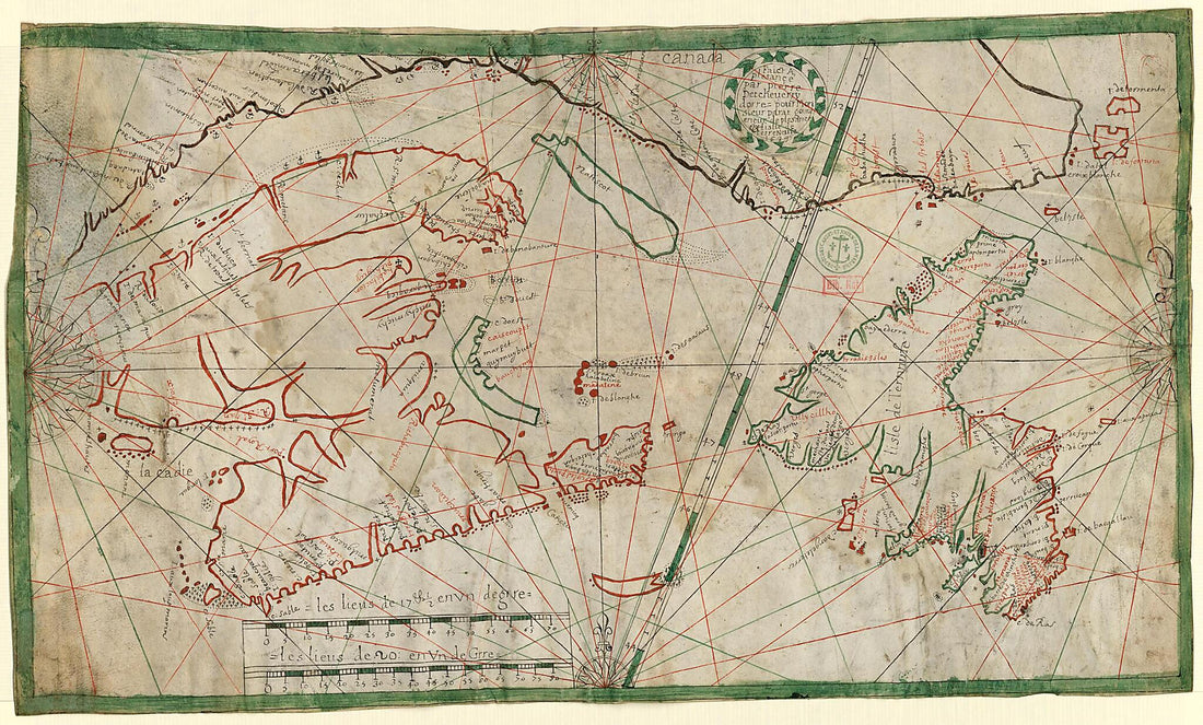
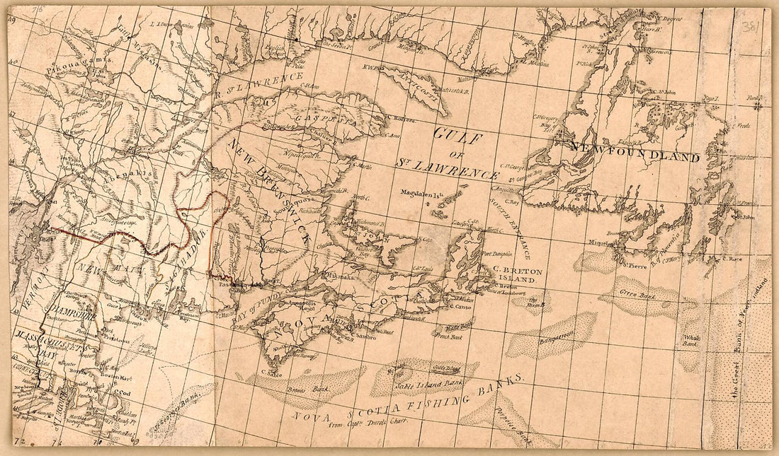 Manuscript Map of Eastern Canada and New England 1800Manuscript Map of Eastern Canada and New England 1800
- Regular price
-
$39.95 $99.95 - Regular price
-
$34.95 - Sale price
-
$39.95 $99.95
-
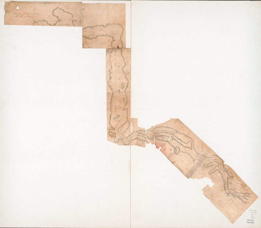 Draught of St. Johns River In the Bay of Funday in 1780Draught of St. Johns River In the Bay of Funday in 1780
- Regular price
-
$43.95 $162.95 - Regular price
-
$38.95 - Sale price
-
$43.95 $162.95
-
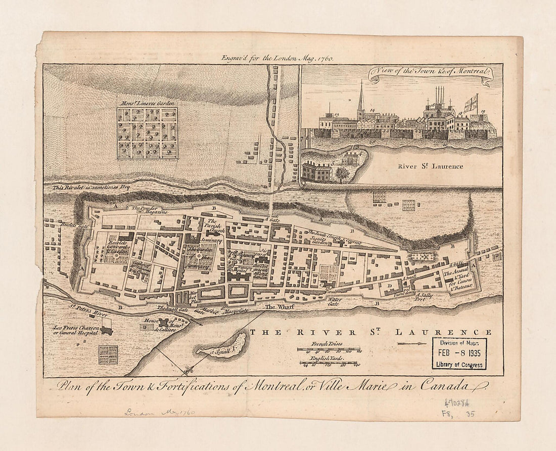 Plan of the Town & Fortifications of Montreal, Or Ville Marie In Canada (Plan of the Town and Fortifications of Montreal, Or Ville Marie In Canada) 1760Plan of the Town & Fortifications of Montreal, Or Ville Marie In Canada (Plan of the Town and Fortifications of Montreal, Or Ville Marie In Canada) 1760
- Regular price
-
$39.95 $83.95 - Regular price
-
$34.95 - Sale price
-
$39.95 $83.95
-
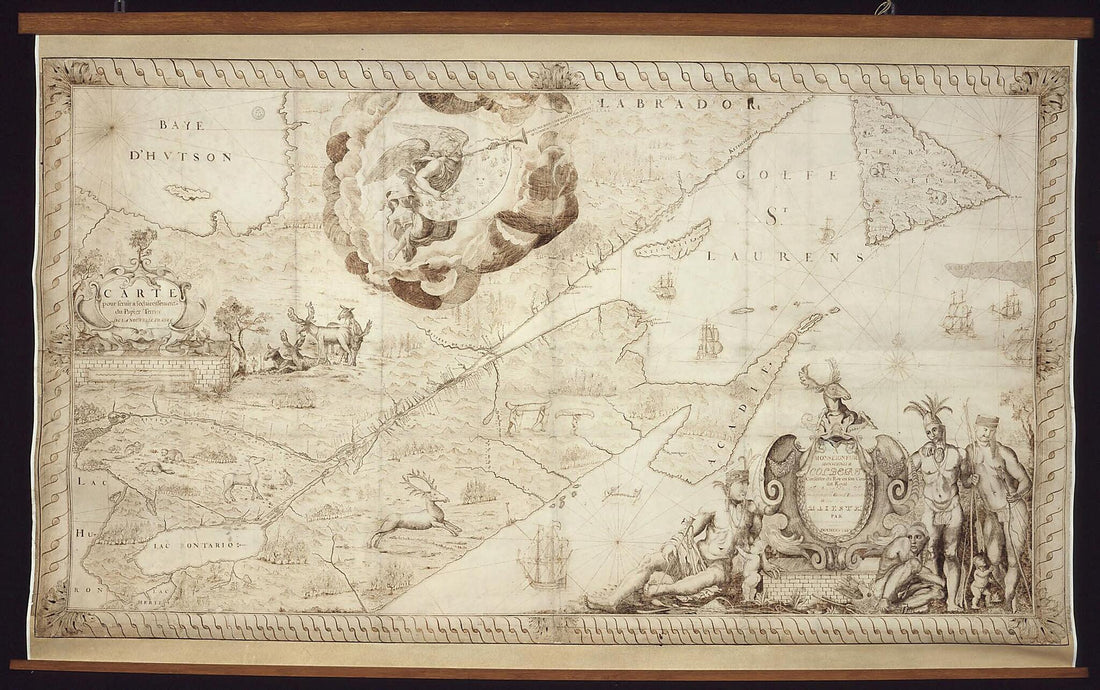 Map for the Clarification of Land Titles In New France, 1678. (France)Map for the Clarification of Land Titles In New France, 1678. (France)
- Regular price
-
$39.95 $99.95 - Regular price
-
$34.95 - Sale price
-
$39.95 $99.95
-
 Map of the Island of Newfoundland, 1689Map of the Island of Newfoundland, 1689
- Regular price
-
$43.95 $99.95 - Regular price
-
$33.95 - Sale price
-
$43.95 $99.95
-
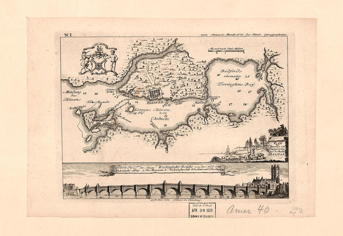 Plan Des Havens Von Chebucto Und Der Stadt Halifax 1751Plan Des Havens Von Chebucto Und Der Stadt Halifax 1751
- Regular price
-
$39.95 $99.95 - Regular price
-
$34.95 - Sale price
-
$39.95 $99.95


