487 products
-
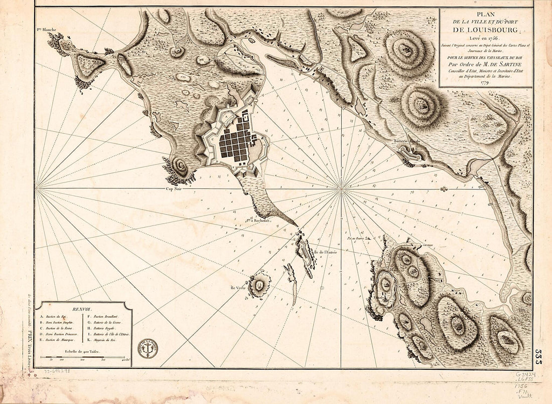 Plan De La Ville Et Du Port De Louisbourg Levé En 1756 1779Plan De La Ville Et Du Port De Louisbourg Levé En 1756 1779
- Regular price
-
$43.95 $111.95 - Regular price
-
$38.95 - Sale price
-
$43.95 $111.95
-
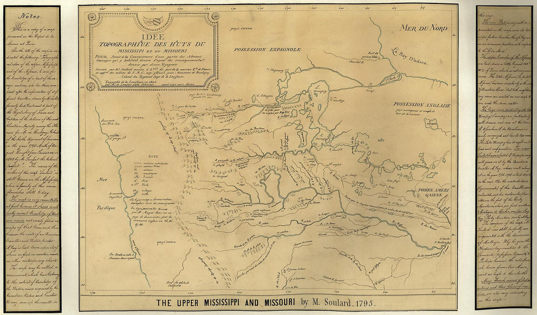 The Upper Mississippi and Missouri (Idee Topographique Des Hauts De Mississipi Et Du Missouri) 1850The Upper Mississippi and Missouri (Idee Topographique Des Hauts De Mississipi Et Du Missouri) 1850
- Regular price
-
$46.95 $99.95 - Regular price
-
$41.95 - Sale price
-
$46.95 $99.95
-
 Partie Du Fleuve St. Laurent Depuis Quebec Jusqu'au Lac St. Francois. Carte Du Lac Champlain 1764Partie Du Fleuve St. Laurent Depuis Quebec Jusqu'au Lac St. Francois. Carte Du Lac Champlain 1764
- Regular price
-
$39.95 $88.95 - Regular price
-
$34.95 - Sale price
-
$39.95 $88.95
-
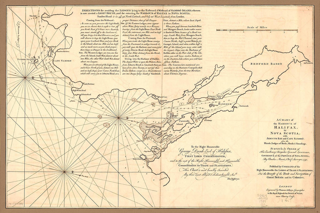 A Chart of the Harbour of Halifax, In Nova Scotia; With Jebucto Bay and Cape Sambrô, Also the Islands, Ledges of Rocks, Shoals & Soundings 1768A Chart of the Harbour of Halifax, In Nova Scotia; With Jebucto Bay and Cape Sambrô, Also the Islands, Ledges of Rocks, Shoals & Soundings 1768
- Regular price
-
$46.95 $99.95 - Regular price
-
$41.95 - Sale price
-
$46.95 $99.95
-
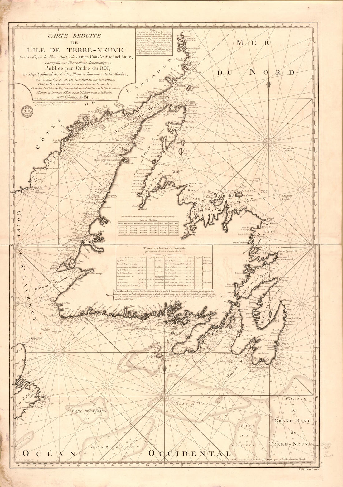 Neuve 1784Neuve 1784
- Regular price
-
$46.95 $99.95 - Regular price
-
$41.95 - Sale price
-
$46.95 $99.95
-
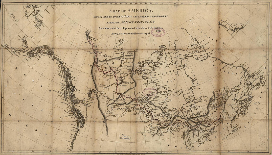 A Map of America Between Latitudes 40 and 70 North and Longitudes 45 and 180 West Exhibiting Mackenzie's Track from Montreal to Fort Chipewyan & from Thence to the North Sea In 1789 & to the West Pacific Ocean In 1793 1801A Map of America Between Latitudes 40 and 70 North and Longitudes 45 and 180 West Exhibiting Mackenzie's Track from Montreal to Fort Chipewyan & from Thence to the North Sea In 1789 & to the West Pacific Ocean In 1793 1801
- Regular price
-
$46.95 $99.95 - Regular price
-
$41.95 - Sale price
-
$46.95 $99.95
-
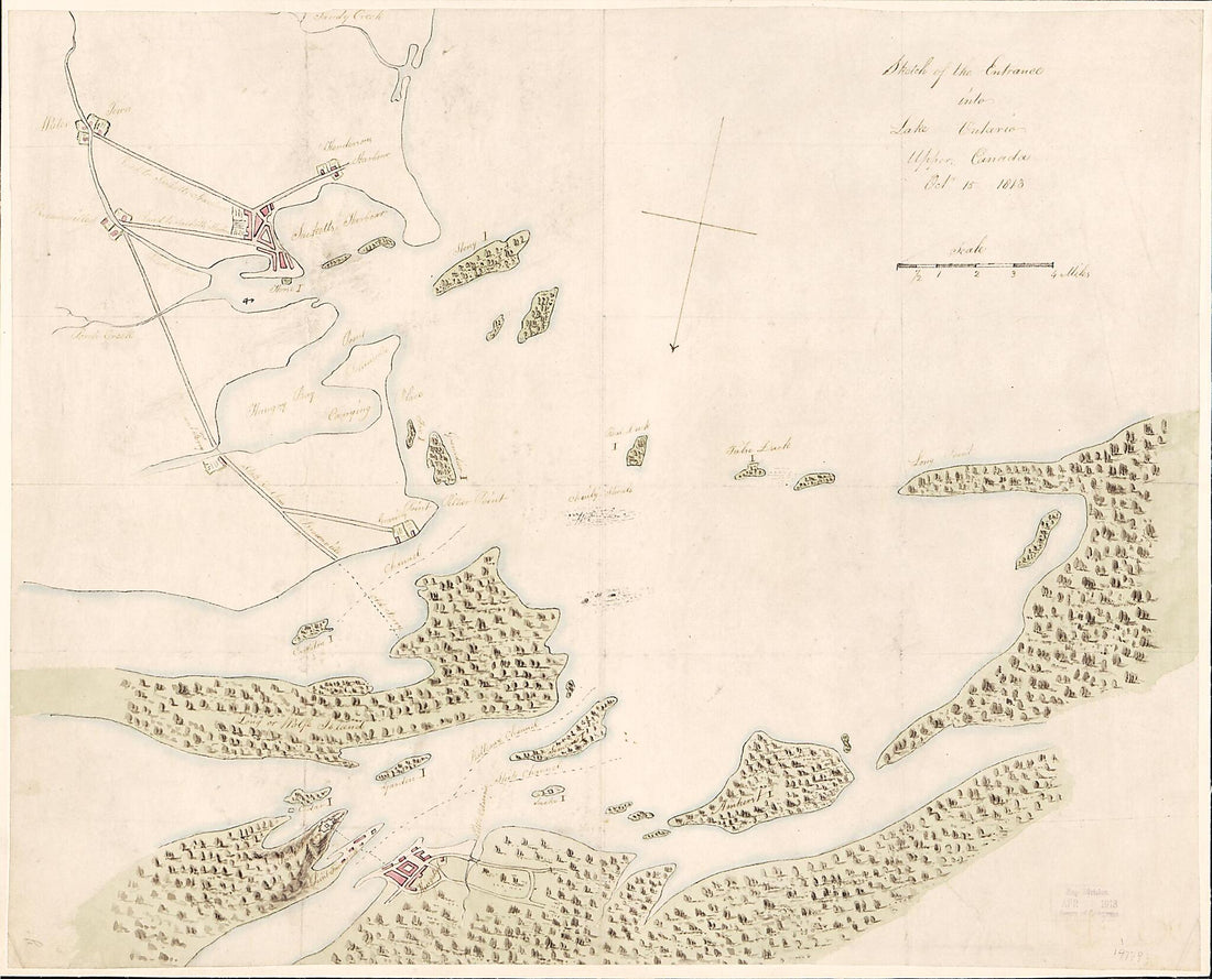 Sketch of the Entrance Into Lake Ontario, Upper Canada Octr. 15 1813Sketch of the Entrance Into Lake Ontario, Upper Canada Octr. 15 1813
- Regular price
-
$39.95 $83.95 - Regular price
-
$34.95 - Sale price
-
$39.95 $83.95
-
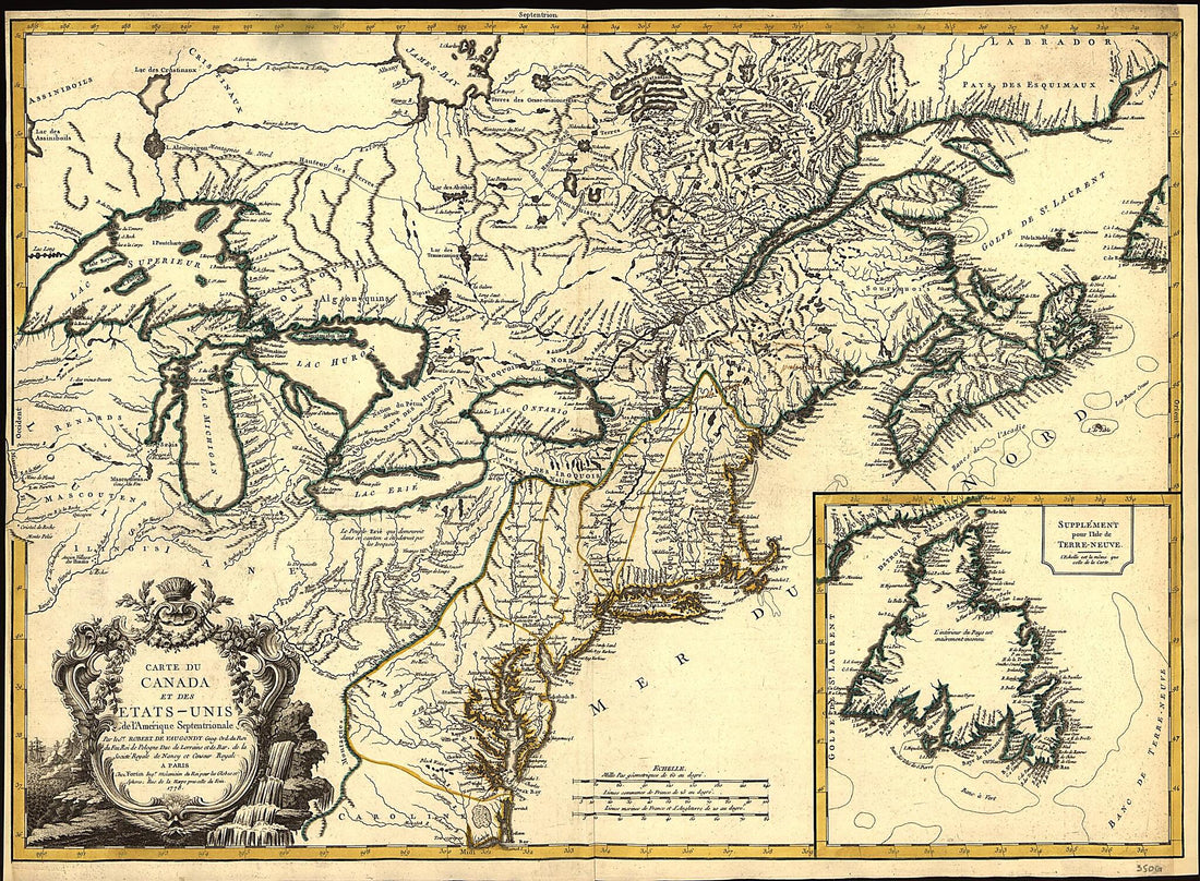 Unis De L'Amérique Septentrionale 1778Unis De L'Amérique Septentrionale 1778
- Regular price
-
$43.95 $124.95 - Regular price
-
$38.95 - Sale price
-
$43.95 $124.95
-
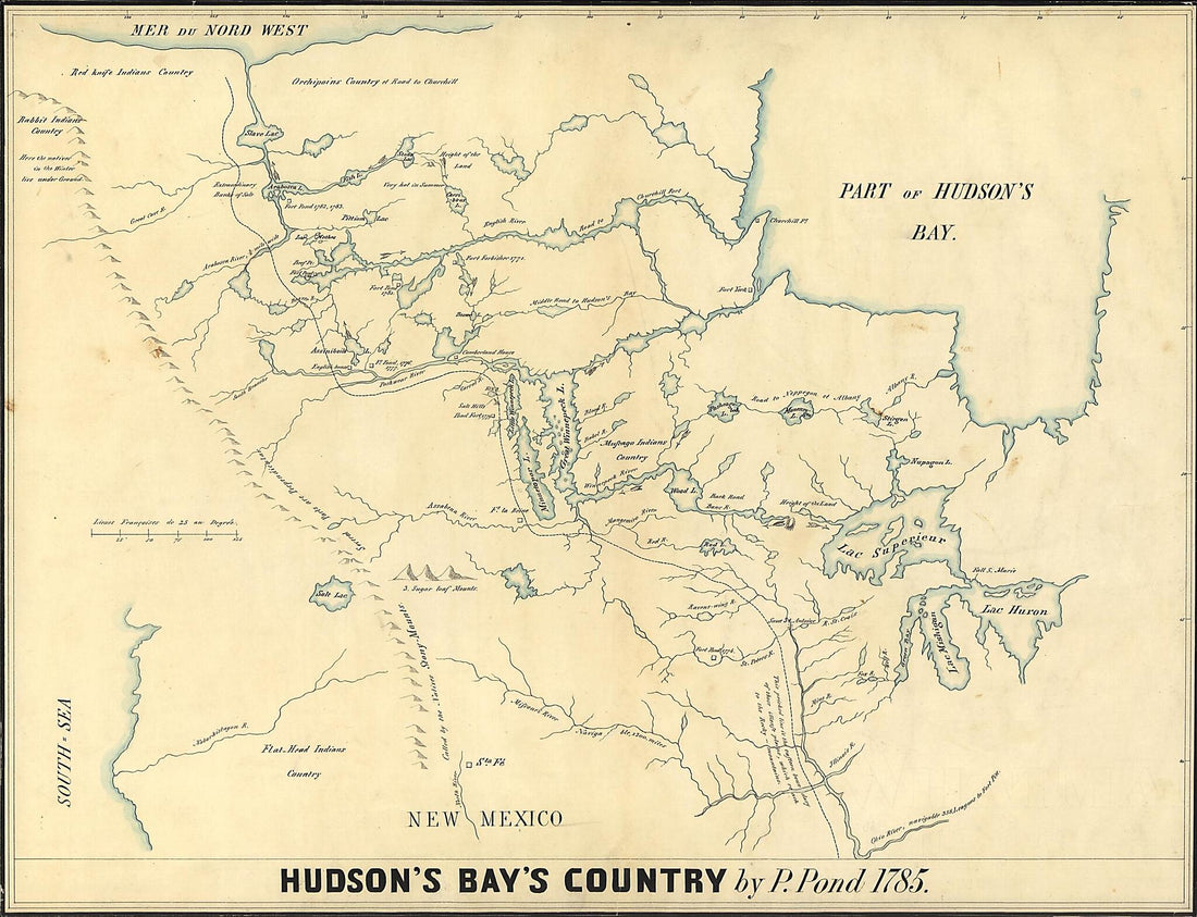 Hudson's Bay's Country (Copy of a Map, Presented to the Congress) 1850Hudson's Bay's Country (Copy of a Map, Presented to the Congress) 1850
- Regular price
-
$43.95 $108.95 - Regular price
-
$38.95 - Sale price
-
$43.95 $108.95
-
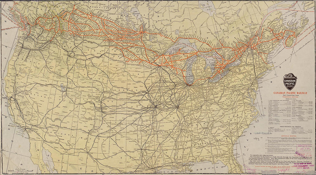 Canadian Pacific Railway and Connecting Lines 1912Canadian Pacific Railway and Connecting Lines 1912
- Regular price
-
$46.95 $129.95 - Regular price
-
$41.95 - Sale price
-
$46.95 $129.95
-
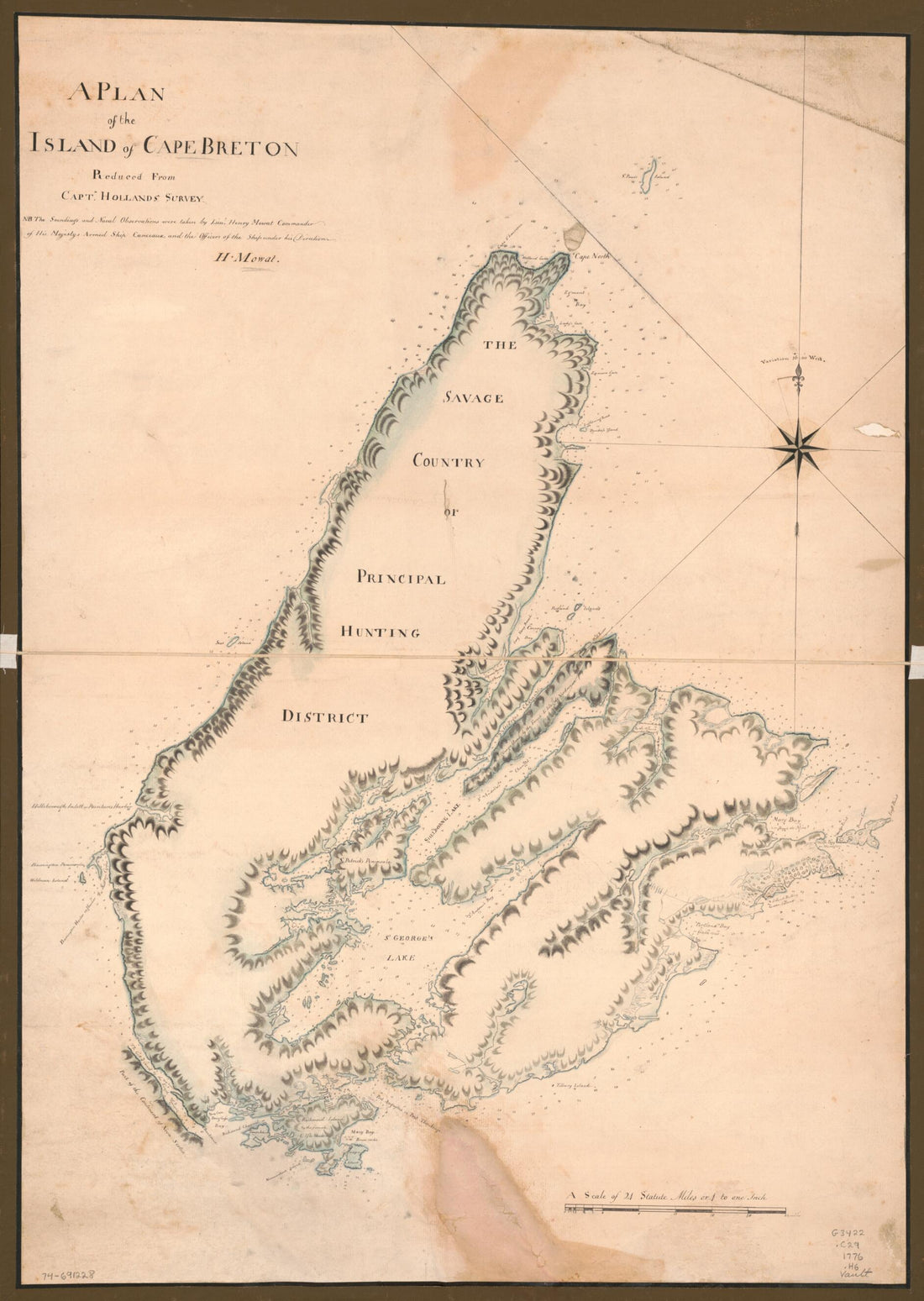 A Plan of the Island of Cape Breton 1776A Plan of the Island of Cape Breton 1776
- Regular price
-
$43.95 $93.95 - Regular price
-
$38.95 - Sale price
-
$43.95 $93.95
-
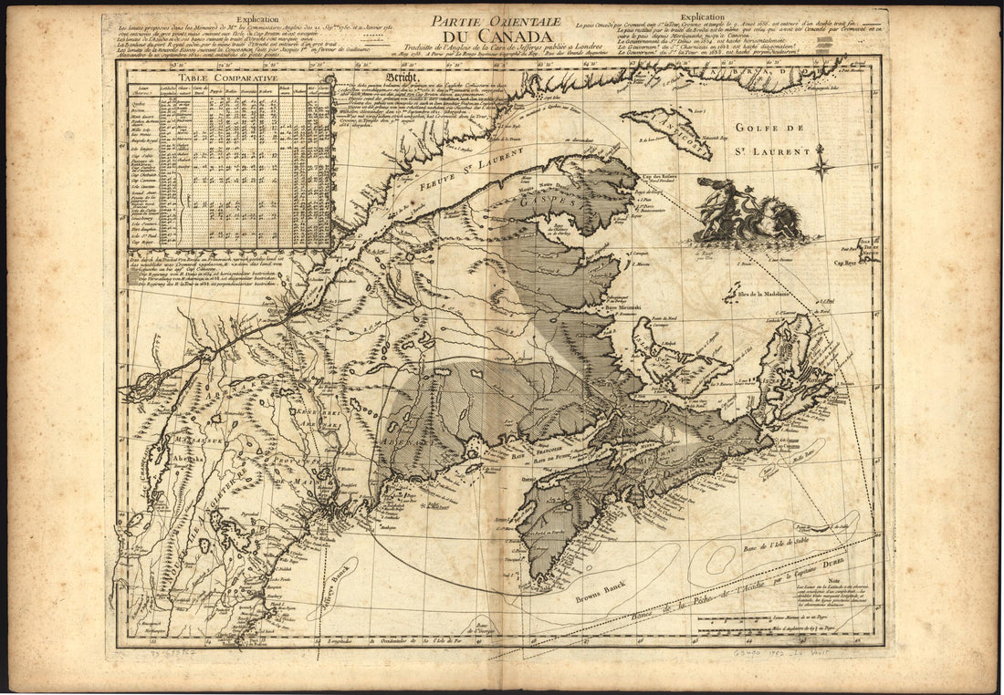 Partie Orientale Du Canada 1762Partie Orientale Du Canada 1762
- Regular price
-
$46.95 $99.95 - Regular price
-
$41.95 - Sale price
-
$46.95 $99.95


