487 products
-
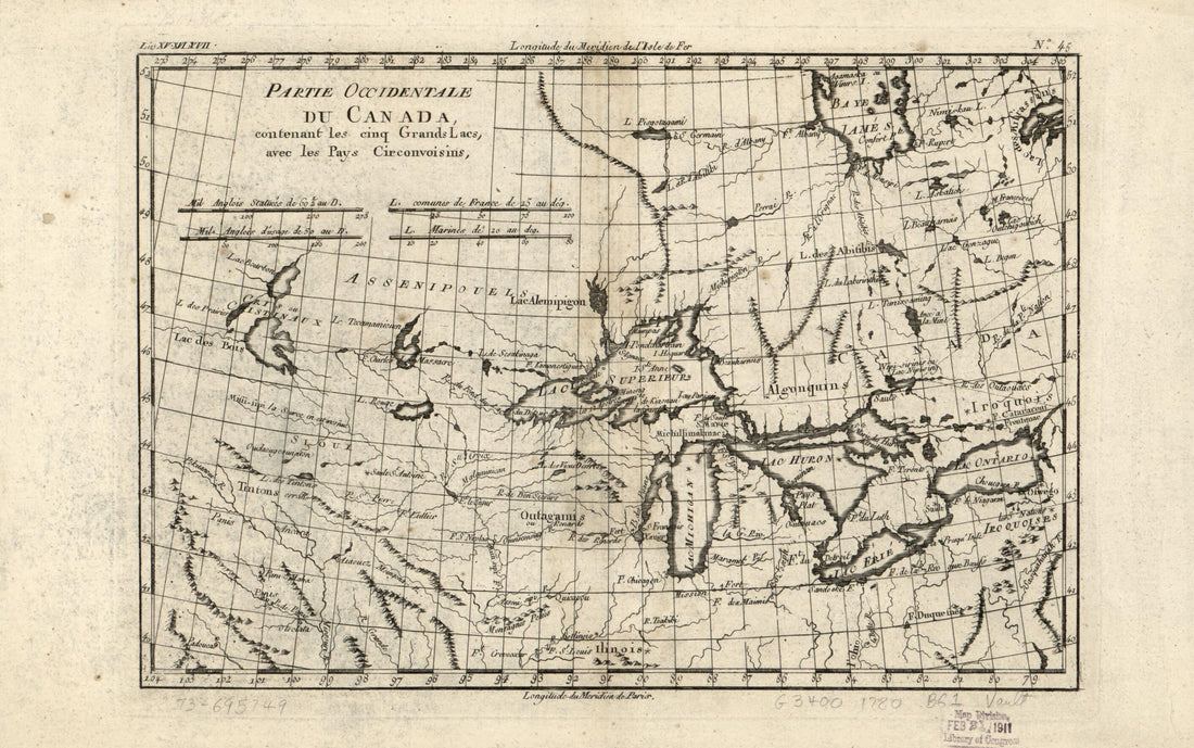 Partie Occidentale Du Canada, Contenant Les Cinq Grands Lacs, Avec Les Pays Circonvoisins 1780Partie Occidentale Du Canada, Contenant Les Cinq Grands Lacs, Avec Les Pays Circonvoisins 1780
- Regular price
-
$39.95 $99.95 - Regular price
-
$34.95 - Sale price
-
$39.95 $99.95
-
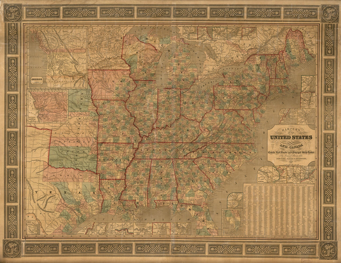 Harper's Cereographic Map of the United States and Canada : Showing the Canals, Rail Roads, and Principal Stage Routes 1847Harper's Cereographic Map of the United States and Canada : Showing the Canals, Rail Roads, and Principal Stage Routes 1847
- Regular price
-
$43.95 $193.95 - Regular price
-
$38.95 - Sale price
-
$43.95 $193.95
-
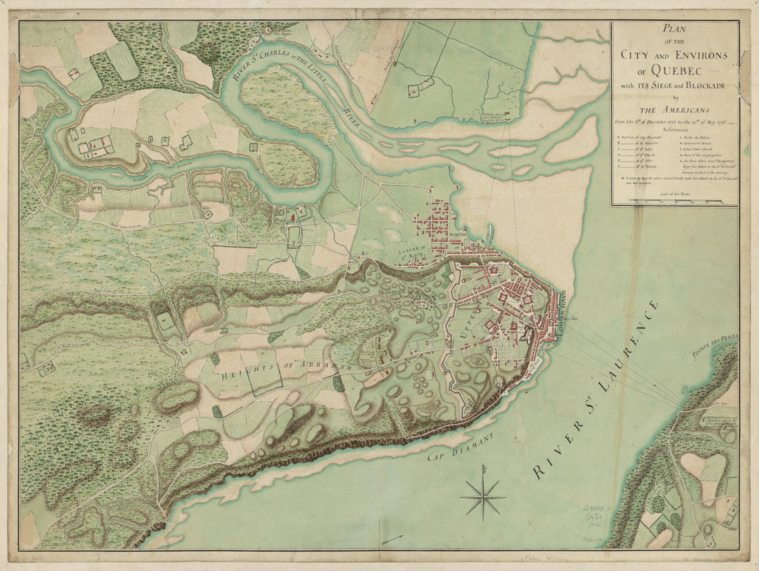 Plan of the City and Environs of Quebec, With Its Siege and Blockade by the Americans from the 8th of December, 1775 to the 13th of May, 1776Plan of the City and Environs of Quebec, With Its Siege and Blockade by the Americans from the 8th of December, 1775 to the 13th of May, 1776
- Regular price
-
$43.95 $88.95 - Regular price
-
$38.95 - Sale price
-
$43.95 $88.95
-
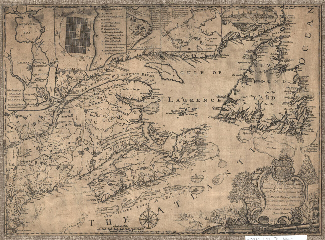 Scotia and Parts Adjacent 1776Scotia and Parts Adjacent 1776
- Regular price
-
$39.95 $88.95 - Regular price
-
$34.95 - Sale price
-
$39.95 $88.95
-
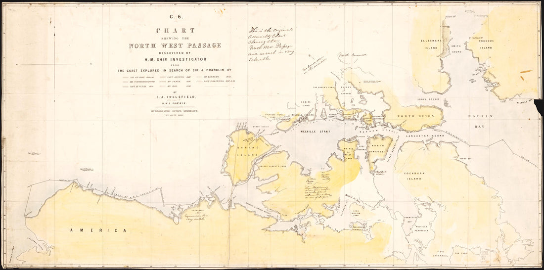 Chart Shewing the North West Passage Discovered by H.M. Ship Investigator : Also the Coast Explored In Search of Sir J. Franklin by Sir Jas. Ross, 1848 & 49 ... et Al. : Arctic Coasts of Canada and Alaska 1853Chart Shewing the North West Passage Discovered by H.M. Ship Investigator : Also the Coast Explored In Search of Sir J. Franklin by Sir Jas. Ross, 1848 & 49 ... et Al. : Arctic Coasts of Canada and Alaska 1853
- Regular price
-
$46.95 $99.95 - Regular price
-
$41.95 - Sale price
-
$46.95 $99.95
-
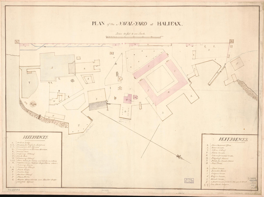 Yard at Halifax 1700Yard at Halifax 1700
- Regular price
-
$43.95 $88.95 - Regular price
-
$38.95 - Sale price
-
$43.95 $88.95
-
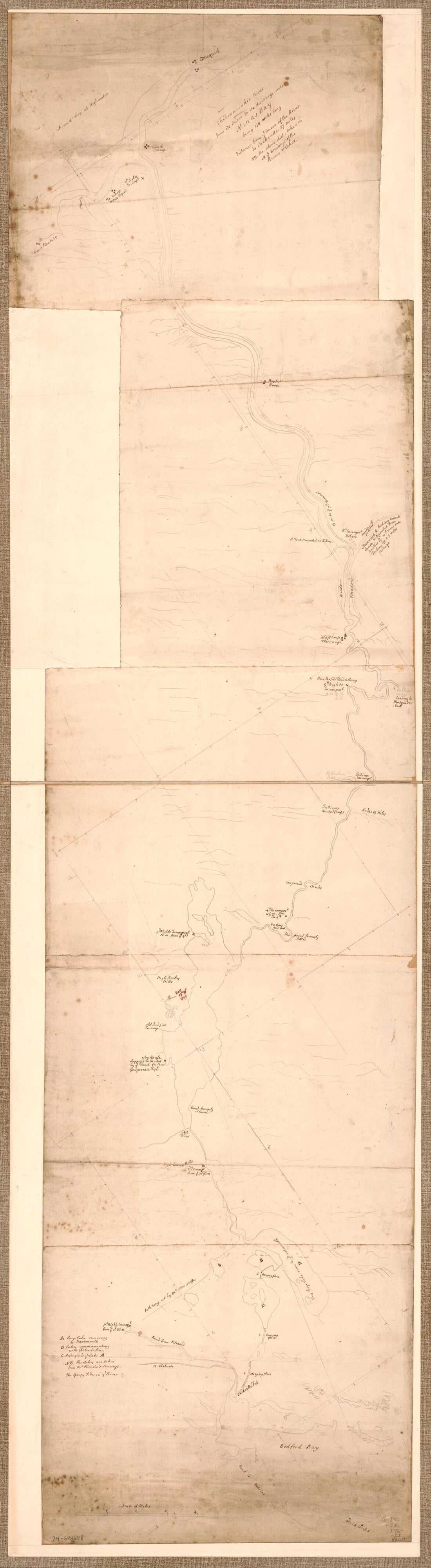 Chibenaccadie River From Its Source to Its Discharge Into Minas Bay, Being 44 Miles Long in 1760Chibenaccadie River From Its Source to Its Discharge Into Minas Bay, Being 44 Miles Long in 1760
- Regular price
-
$46.95 $138.95 - Regular price
-
$41.95 - Sale price
-
$46.95 $138.95
-
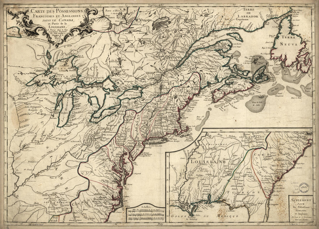 Carte Des Possessions Françoises Et Angloises Dans Le Canada, Et Partie De La Louisiane, 1756 1769Carte Des Possessions Françoises Et Angloises Dans Le Canada, Et Partie De La Louisiane, 1756 1769
- Regular price
-
$43.95 $88.95 - Regular price
-
$32.95 - Sale price
-
$43.95 $88.95
-
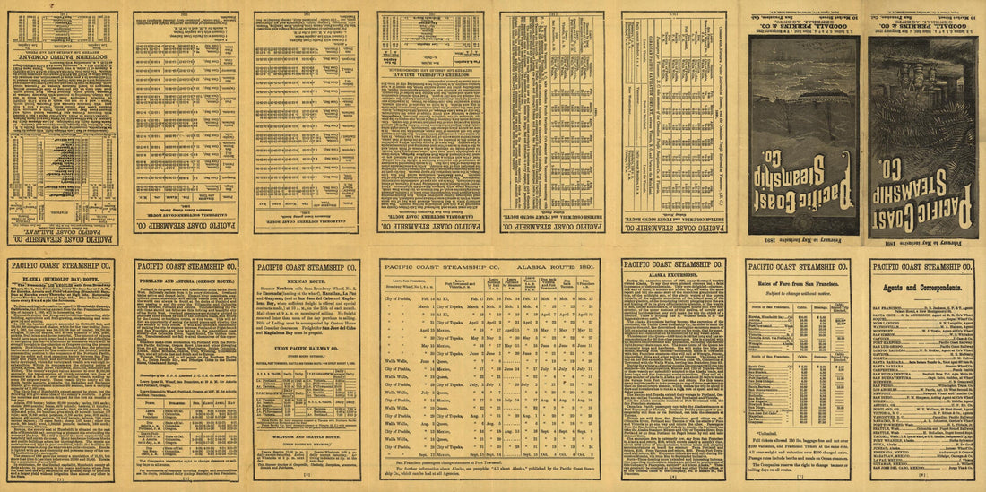 Map Showing Routes of the Pacific Coast Steamship Company 1891Map Showing Routes of the Pacific Coast Steamship Company 1891
- Regular price
-
$46.95 $99.95 - Regular price
-
$41.95 - Sale price
-
$46.95 $99.95
-
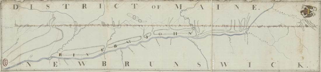 Survey of the Boundary Between the District of Maine and the Province of New Brunswick From the Saint Croix River to the Wagansis River in 1817Survey of the Boundary Between the District of Maine and the Province of New Brunswick From the Saint Croix River to the Wagansis River in 1817
- Regular price
-
$46.95 $99.95 - Regular price
-
$41.95 - Sale price
-
$46.95 $99.95
-
 The Provinces of New York, and New Jersey; With Part of Pensilvania and the Province of Quebec. Drawn by Major Holland, Surveyor General of the Northern District In America in 1777The Provinces of New York, and New Jersey; With Part of Pensilvania and the Province of Quebec. Drawn by Major Holland, Surveyor General of the Northern District In America in 1777
- Regular price
-
$46.95 $347.95 - Regular price
-
$41.95 - Sale price
-
$46.95 $347.95
-
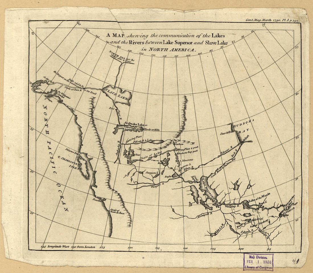 A Map Shewing the Communication of the Lakes and the Rivers Between Lake Superior and Slave Lake In North America 1790A Map Shewing the Communication of the Lakes and the Rivers Between Lake Superior and Slave Lake In North America 1790
- Regular price
-
$39.95 $83.95 - Regular price
-
$29.95 - Sale price
-
$39.95 $83.95


