487 products
-
 A Chart Shewing Part of the Coast of N.W. America : With the Tracks of His Majesty's Sloop Discovery and Armed Tender Chatham 1798A Chart Shewing Part of the Coast of N.W. America : With the Tracks of His Majesty's Sloop Discovery and Armed Tender Chatham 1798
- Regular price
-
$43.95 $184.95 - Regular price
-
$38.95 - Sale price
-
$43.95 $184.95
-
 Road Road Route from Boston, Massachusetts to Chicago, Illinois 1859Road Road Route from Boston, Massachusetts to Chicago, Illinois 1859
- Regular price
-
$39.95 $83.95 - Regular price
-
$34.95 - Sale price
-
$39.95 $83.95
-
 Map of the United States and Canada in 1847Map of the United States and Canada in 1847
- Regular price
-
$46.95 $160.95 - Regular price
-
$41.95 - Sale price
-
$46.95 $160.95
-
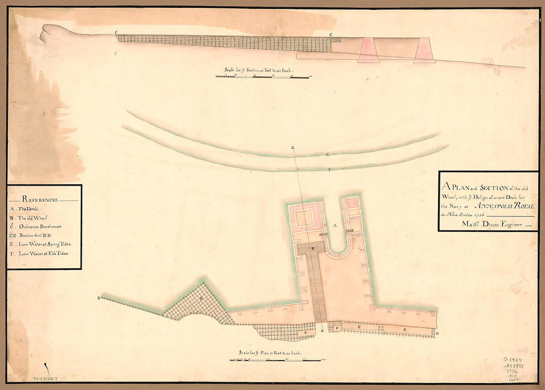 A Plan and Section of the Old Wharf, With Ye Design of a New Dock for the Navy at Annapolis Royal In Nova Scotia 1756A Plan and Section of the Old Wharf, With Ye Design of a New Dock for the Navy at Annapolis Royal In Nova Scotia 1756
- Regular price
-
$43.95 $145.95 - Regular price
-
$38.95 - Sale price
-
$43.95 $145.95
-
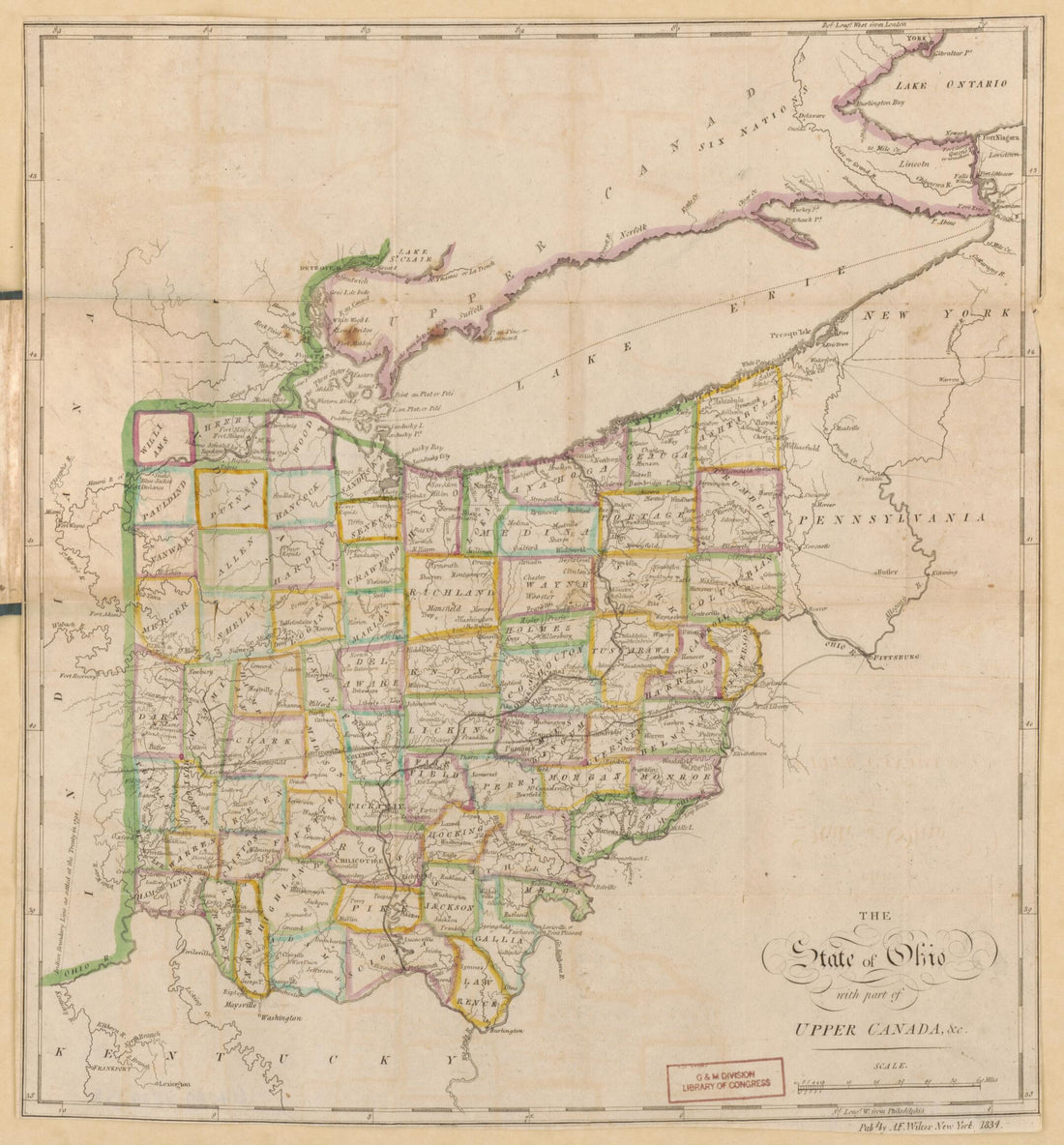 The State of Ohio, With Part of Upper Canada, &c. (Ohio) 1834The State of Ohio, With Part of Upper Canada, &c. (Ohio) 1834
- Regular price
-
$39.95 $83.95 - Regular price
-
$34.95 - Sale price
-
$39.95 $83.95
-
 A Map of Mackenzie's Track from Fort Chipewyan to the North Sea In 1789 1801A Map of Mackenzie's Track from Fort Chipewyan to the North Sea In 1789 1801
- Regular price
-
$43.95 $83.95 - Regular price
-
$38.95 - Sale price
-
$43.95 $83.95
-
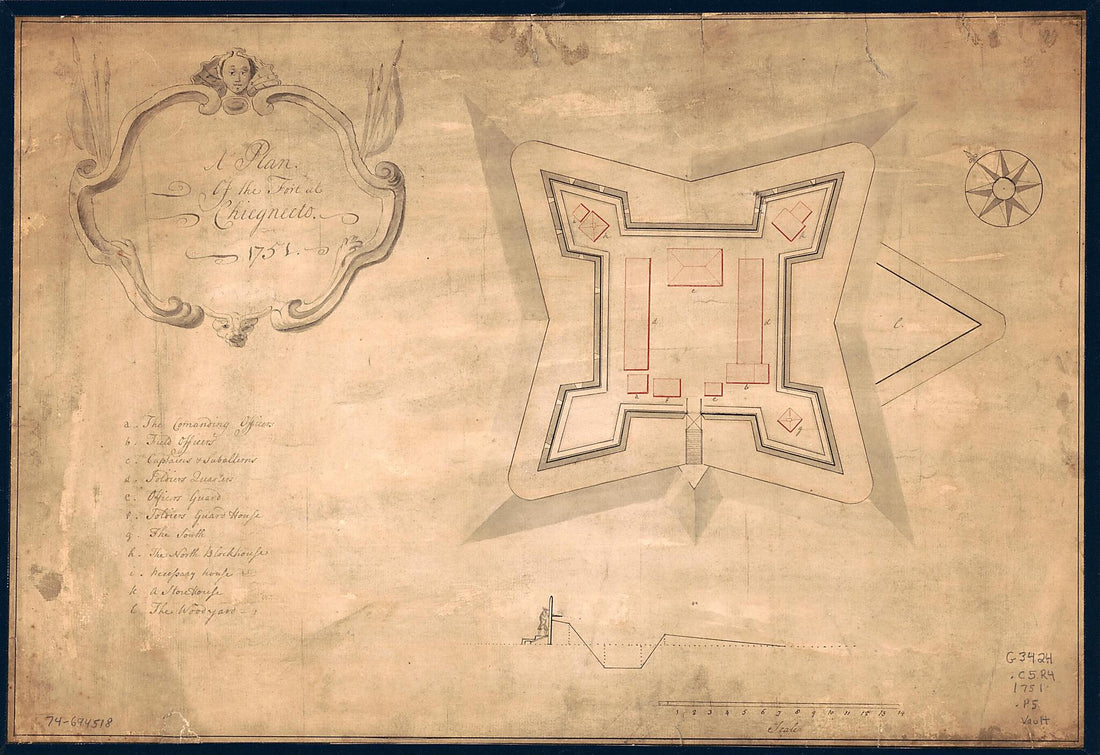 A Plan of the Fort at Chiegnecto 1751A Plan of the Fort at Chiegnecto 1751
- Regular price
-
$43.95 $99.95 - Regular price
-
$38.95 - Sale price
-
$43.95 $99.95
-
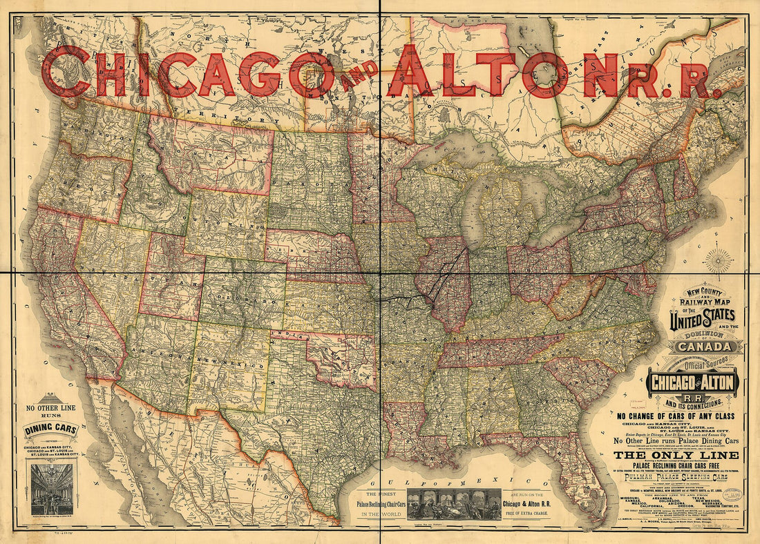 New County and Railway Map of the United States and the Dominion of Canada Compiled from Information Obtained from Official Sources Showing the Lines of the Chicago and Alton Railroad and Its Connections 1883New County and Railway Map of the United States and the Dominion of Canada Compiled from Information Obtained from Official Sources Showing the Lines of the Chicago and Alton Railroad and Its Connections 1883
- Regular price
-
$43.95 $206.95 - Regular price
-
$38.95 - Sale price
-
$43.95 $206.95
-
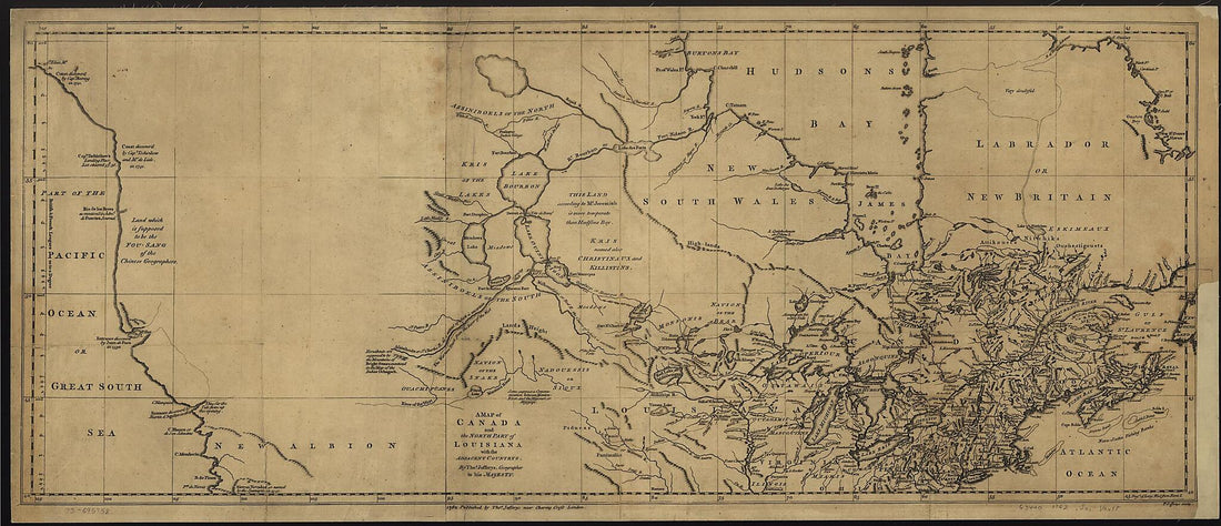 A Map of Canada and the North Part of Louisiana With the Adjacent Countrys 1768A Map of Canada and the North Part of Louisiana With the Adjacent Countrys 1768
- Regular price
-
$46.95 $100.95 - Regular price
-
$41.95 - Sale price
-
$46.95 $100.95
-
 Maine, New Hampshire, Vermont, Massachusetts, Rhode Island, Connecticut and Lower Canada, 1860Maine, New Hampshire, Vermont, Massachusetts, Rhode Island, Connecticut and Lower Canada, 1860
- Regular price
-
$43.95 $102.95 - Regular price
-
$38.95 - Sale price
-
$43.95 $102.95
-
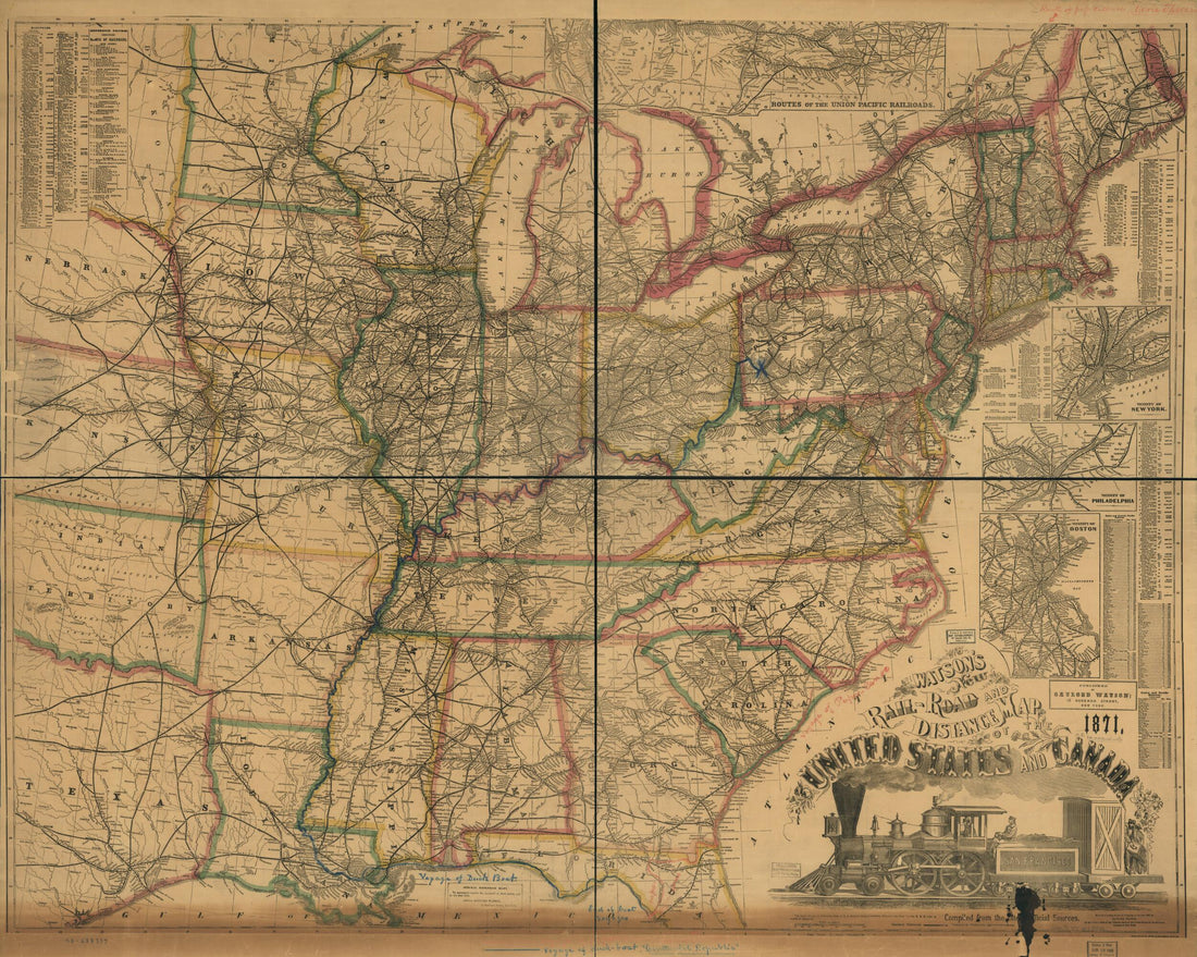 Road and Distance Map of the United States and Canada, in 1871; Compiled From the Latest Official SourcesRoad and Distance Map of the United States and Canada, in 1871; Compiled From the Latest Official Sources
- Regular price
-
$43.95 $178.95 - Regular price
-
$38.95 - Sale price
-
$43.95 $178.95
-
 The Provinces of New York and New Jersey; With Part of Pensilvania, and the Province of Quebec in 1776The Provinces of New York and New Jersey; With Part of Pensilvania, and the Province of Quebec in 1776
- Regular price
-
$46.95 $343.95 - Regular price
-
$41.95 - Sale price
-
$46.95 $343.95


