70 products
-
 Chart to Illustrate the Paper On the Drift of the Endurance in 1918Chart to Illustrate the Paper On the Drift of the Endurance in 1918
- Regular price
-
$39.95 $83.95 - Regular price
-
$29.95 - Sale price
-
$39.95 $83.95
-
 August 7, 1787August 7, 1787
- Regular price
-
$43.95 $88.95 - Regular price
-
$32.95 - Sale price
-
$43.95 $88.95
-
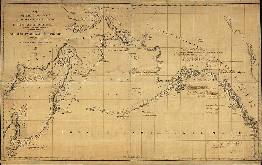 Karta Morskikh Otkrytīĭ Rosīĭskimi Moreplavateli︠a︡mi Na Tikhom I Ledovitom Mori︠a︡kh : V Raznykh Godakh Uchinennykh in 1802Karta Morskikh Otkrytīĭ Rosīĭskimi Moreplavateli︠a︡mi Na Tikhom I Ledovitom Mori︠a︡kh : V Raznykh Godakh Uchinennykh in 1802
- Regular price
-
$46.95 $277.95 - Regular price
-
$41.95 - Sale price
-
$46.95 $277.95
-
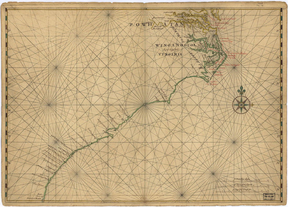 Map of Atlantic Coast of North America from the Chesapeake Bay to Florida 1639Map of Atlantic Coast of North America from the Chesapeake Bay to Florida 1639
- Regular price
-
$43.95 $88.95 - Regular price
-
$32.95 - Sale price
-
$43.95 $88.95
-
 Missouri River, Yellowstone River 1868Missouri River, Yellowstone River 1868
- Regular price
-
$46.95 $143.95 - Regular price
-
$41.95 - Sale price
-
$46.95 $143.95
-
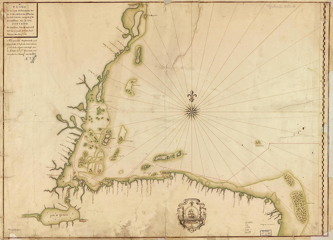 Plano De La Costa De Honduras Desde El Cavo De Gracias a Dios Hasta El De Catoche, Corregido Pr. Diferentes Pilotos, Año De 1756Plano De La Costa De Honduras Desde El Cavo De Gracias a Dios Hasta El De Catoche, Corregido Pr. Diferentes Pilotos, Año De 1756
- Regular price
-
$43.95 $149.95 - Regular price
-
$32.95 - Sale price
-
$43.95 $149.95
-
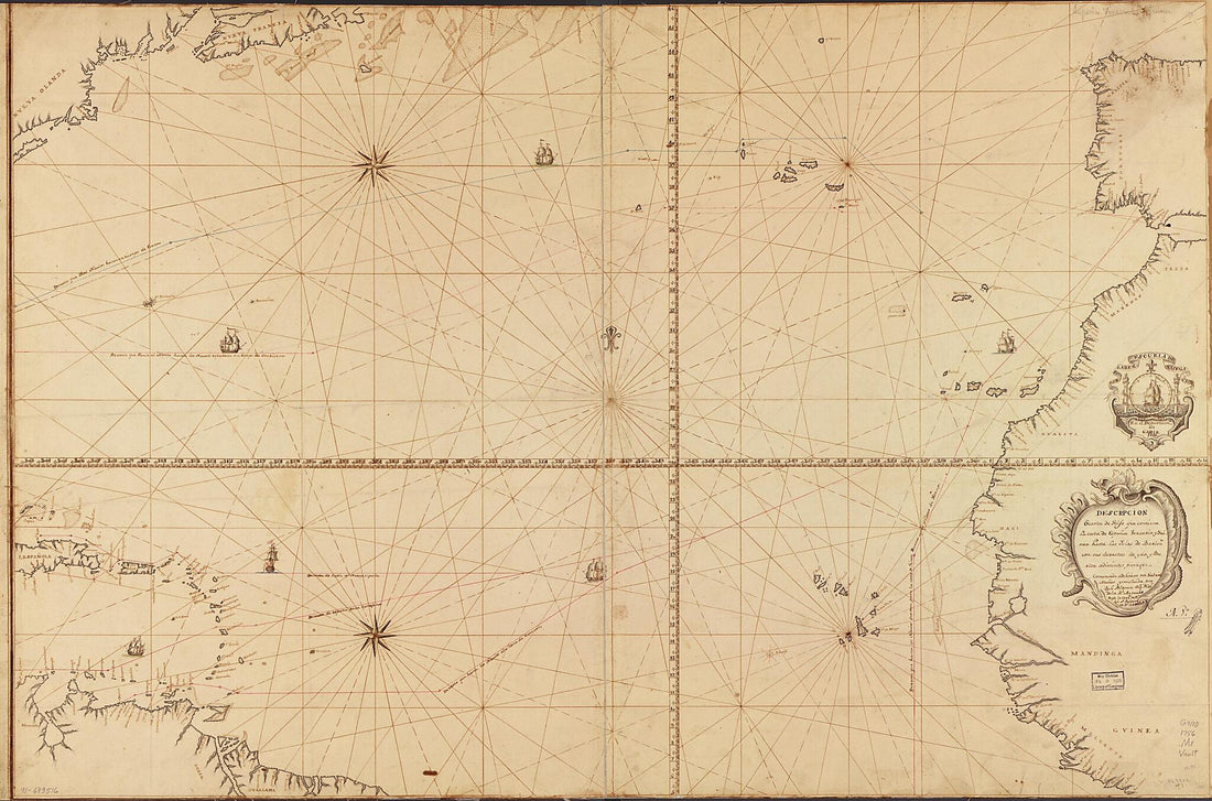 Descripción O Carta De Golfo Que Contiene La Costa De España, Verueria Y Guinea Hasta Las Yslas De Barlovto. Con Sus Derrotas De Y Da Y Buelta Adistintos Parages 1756Descripción O Carta De Golfo Que Contiene La Costa De España, Verueria Y Guinea Hasta Las Yslas De Barlovto. Con Sus Derrotas De Y Da Y Buelta Adistintos Parages 1756
- Regular price
-
$46.95 $217.95 - Regular price
-
$41.95 - Sale price
-
$46.95 $217.95
-
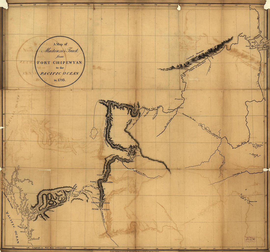 A Map of Mackenzie's Track from Fort Chipewyan to the Pacific Ocean In 1793 1801A Map of Mackenzie's Track from Fort Chipewyan to the Pacific Ocean In 1793 1801
- Regular price
-
$39.95 $89.95 - Regular price
-
$34.95 - Sale price
-
$39.95 $89.95
-
 Aufnahme Der Expedition Von Den Steinen Von Cuyabá Biz Zum Rio Batovy 1883Aufnahme Der Expedition Von Den Steinen Von Cuyabá Biz Zum Rio Batovy 1883
- Regular price
-
$39.95 $88.95 - Regular price
-
$34.95 - Sale price
-
$39.95 $88.95
-
 Map of the Great Salt Lake and Adjacent Country In the Territory of Utah : Surveyed In 1849 and 1850 Under the Orders of Col. J.J. Abert in 1852Map of the Great Salt Lake and Adjacent Country In the Territory of Utah : Surveyed In 1849 and 1850 Under the Orders of Col. J.J. Abert in 1852
- Regular price
-
$46.95 $141.95 - Regular price
-
$41.95 - Sale price
-
$46.95 $141.95
-
 Carta Plana Que Contiene Parte De La Costa De Malayo Como Asimismo Parte De La Ysla De Sumatra Y De Banca, a Reglada Segun Lade Tir. Dapres Exsepto Las Ylas De Aor Que Estan Situadas Como Las Fraen Las Cartas De Los Pilotos De Esta Carrera 1770Carta Plana Que Contiene Parte De La Costa De Malayo Como Asimismo Parte De La Ysla De Sumatra Y De Banca, a Reglada Segun Lade Tir. Dapres Exsepto Las Ylas De Aor Que Estan Situadas Como Las Fraen Las Cartas De Los Pilotos De Esta Carrera 1770
- Regular price
-
$43.95 $145.95 - Regular price
-
$32.95 - Sale price
-
$43.95 $145.95
-
 Plano De La Costa Osidental Del Río Del Sinú Hasta Ysla Fuerte Y Punta De Piedras Con Sus Plaseres Y Zondas Y Prespectiba Del Navio Onesto Perdido Y El Navio La Potensia Y Balandra Al Anclaecho 1790Plano De La Costa Osidental Del Río Del Sinú Hasta Ysla Fuerte Y Punta De Piedras Con Sus Plaseres Y Zondas Y Prespectiba Del Navio Onesto Perdido Y El Navio La Potensia Y Balandra Al Anclaecho 1790
- Regular price
-
$39.95 $88.95 - Regular price
-
$29.95 - Sale price
-
$39.95 $88.95


