218 products
-
Map of an Area of Spanish West Florida from Lake Maurepas to Pensacola Bay 1810
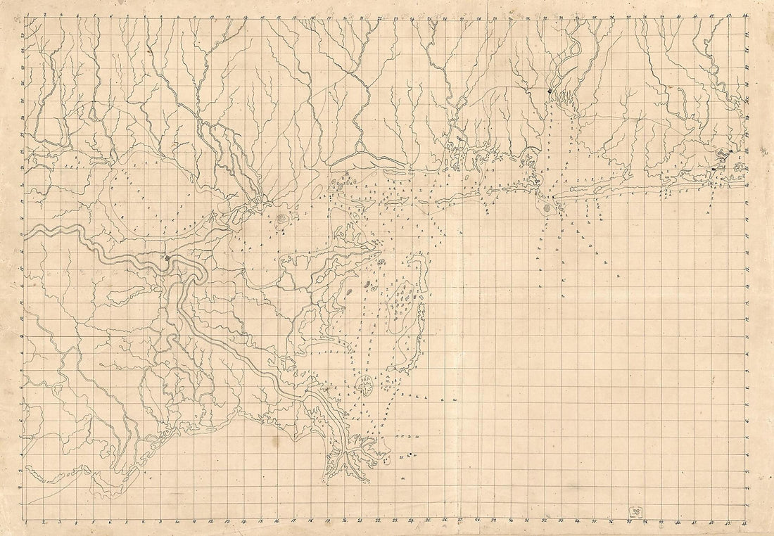 Map of an Area of Spanish West Florida from Lake Maurepas to Pensacola Bay 1810
- Regular price
-
From
$41.95 - Regular price
-
$66.99 - Sale price
-
From
$41.95
-
Map of the Region East and North of Baton Rouge, Showing Batteries On the Mississippi North of Port Hudson in 1863
 Map of the Region East and North of Baton Rouge, Showing Batteries On the Mississippi North of Port Hudson in 1863
- Regular price
-
From
$34.95 - Regular price
-
$49.99 - Sale price
-
From
$34.95
-
Plaza De La Villa De Galvez 1778
 Plaza De La Villa De Galvez 1778
- Regular price
-
From
$19.95 - Regular price
-
$29.95 - Sale price
-
From
$19.95
-
Military Map of Part of Louisiana 1863
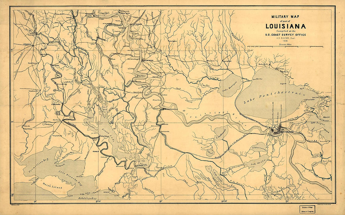 Military Map of Part of Louisiana 1863
- Regular price
-
From
$41.95 - Regular price
-
$66.99 - Sale price
-
From
$41.95
-
La Louisiane Et Pays Voisins 1764
 La Louisiane Et Pays Voisins 1764
- Regular price
-
From
$23.95 - Regular price
-
$37.95 - Sale price
-
From
$23.95
-
Plan of the Attack On the American Lines 5 Miles In Advance of New Orleans 1816
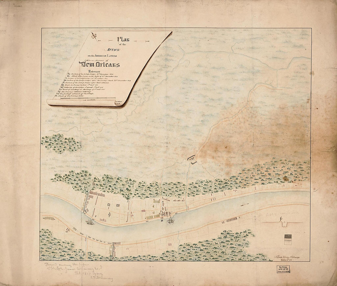 Plan of the Attack On the American Lines 5 Miles In Advance of New Orleans 1816
- Regular price
-
From
$34.95 - Regular price
-
$49.99 - Sale price
-
From
$34.95
-
Carte Particulière D'une Partie De La Louisianne Ou Les Fleuve Et Rivierres i.e. Rivières Onts Etés Relevé a L'estime & Les Routtes i.e. Routes Par Terre Relevé & Mesurées Aux Pas, Par Les Srs. Broutin, De Vergés, Ingénieurs & Saucier Dessinat...
 Carte Particulière D'une Partie De La Louisianne Ou Les Fleuve Et Rivierres i.e. Rivières Onts Etés Relevé a L'estime & Les Routtes i.e. Routes Par Terre Relevé & Mesurées Aux Pas, Par Les Srs. Broutin, De Vergés, Ingénieurs & Saucier Dessinat...
- Regular price
-
From
$34.95 - Regular price
-
$49.99 - Sale price
-
From
$34.95
-
A Map of Louisiana, With the Course of the Missisipi, and the Adjacent Rivers, the Nations of the Natives, the French Establishments and the Mines; by the Author of Ye History of That Colony. 1757 1763
 A Map of Louisiana, With the Course of the Missisipi, and the Adjacent Rivers, the Nations of the Natives, the French Establishments and the Mines; by the Author of Ye History of That Colony. 1757 1763
- Regular price
-
From
$19.95 - Regular price
-
$29.95 - Sale price
-
From
$19.95
-
Colton's Louisiana 1855
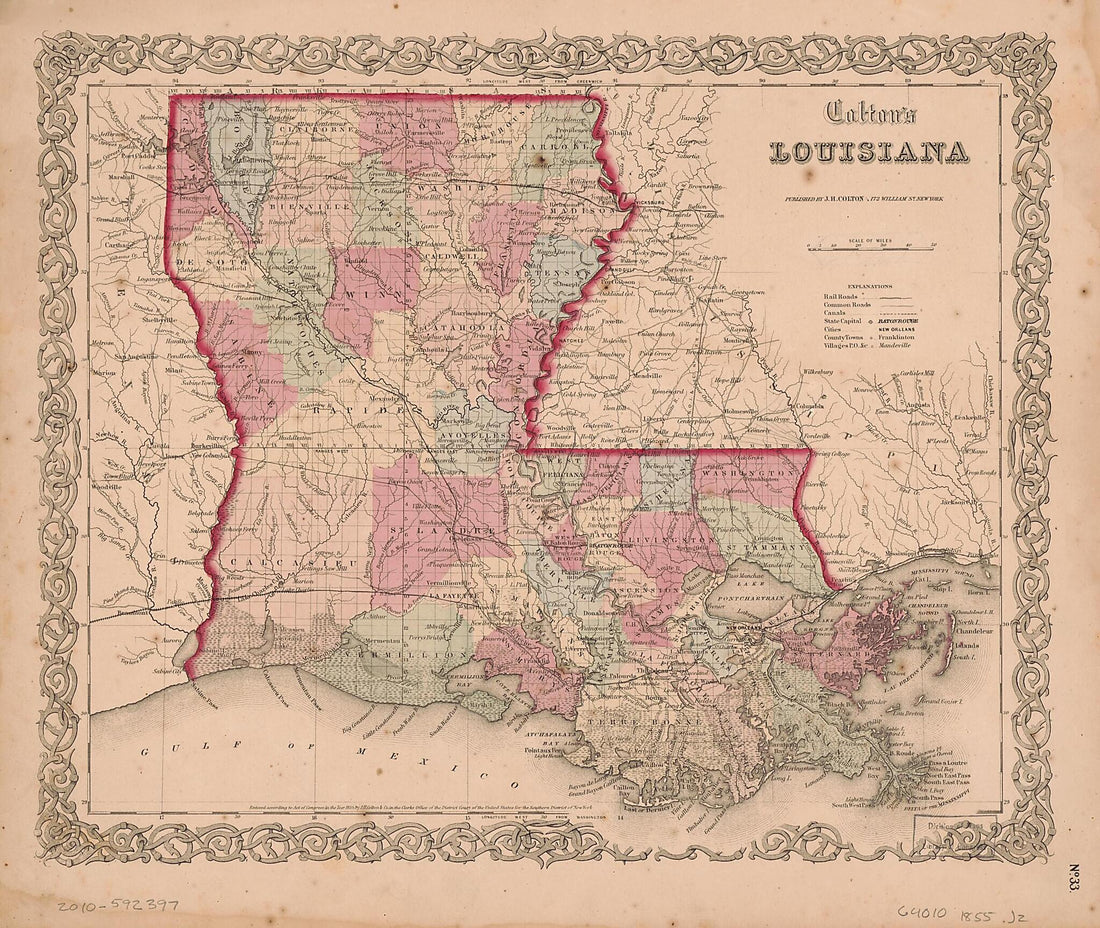 Colton's Louisiana 1855
- Regular price
-
From
$25.95 - Regular price
-
$39.95 - Sale price
-
From
$25.95
-
Tomlinson's Map of Port Hudson, Showing All of the Batteries, Strongholds, Principal Plantations &c 1863
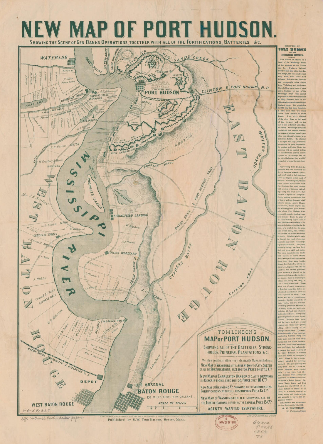 Tomlinson's Map of Port Hudson, Showing All of the Batteries, Strongholds, Principal Plantations &c 1863
- Regular price
-
From
$32.95 - Regular price
-
$51.99 - Sale price
-
From
$32.95
-
Bird's Eye View of the City of Louisiana, Pike County, Mo. (Louisiana, Pike County, Mo, Louisiana, Pike County, Missouri) 1876
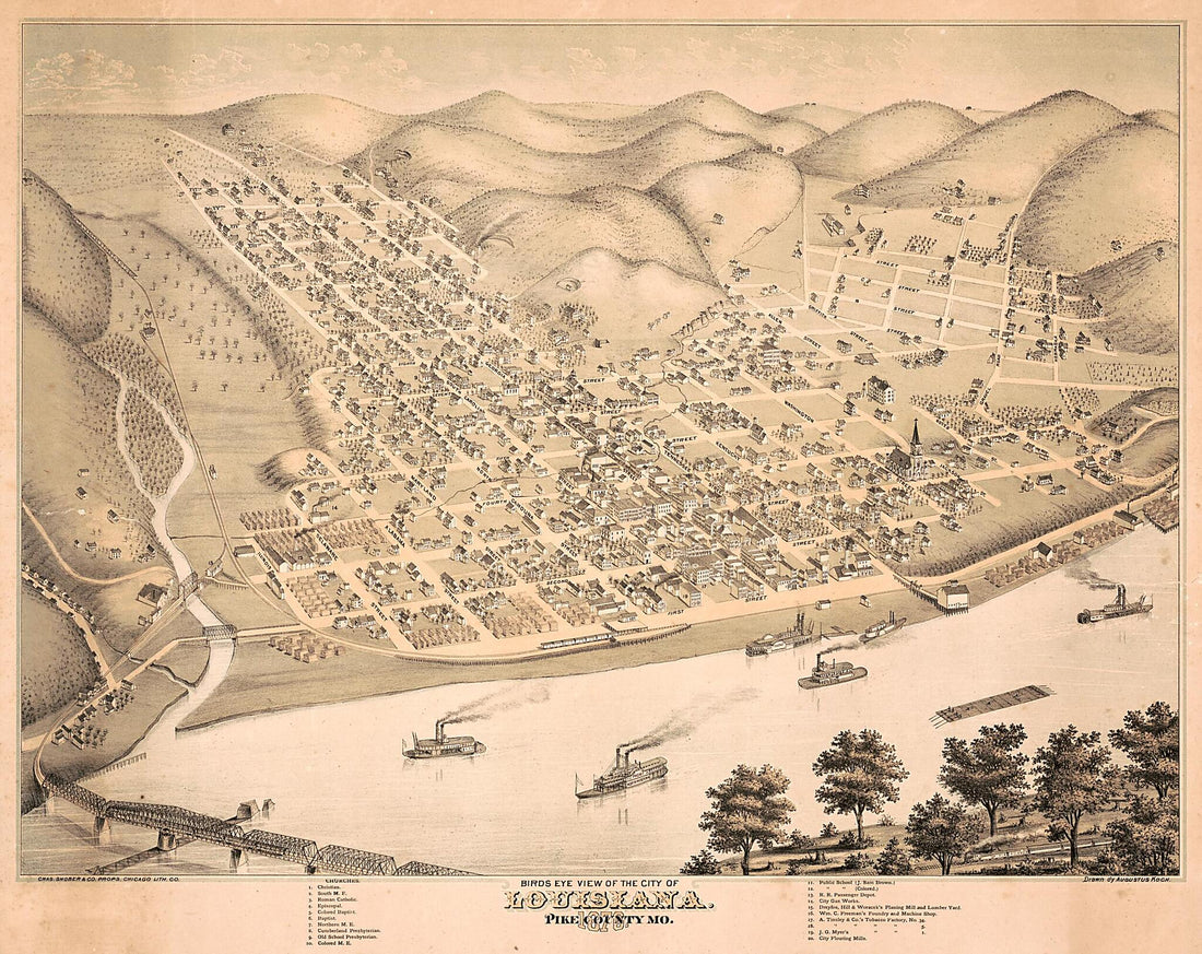 Bird's Eye View of the City of Louisiana, Pike County, Mo. (Louisiana, Pike County, Mo, Louisiana, Pike County, Missouri) 1876
- Regular price
-
From
$34.95 - Regular price
-
$49.99 - Sale price
-
From
$34.95
-
Orleans / Drawn from Nature On Stone by J. Bachman i.e., Bachmann 1851
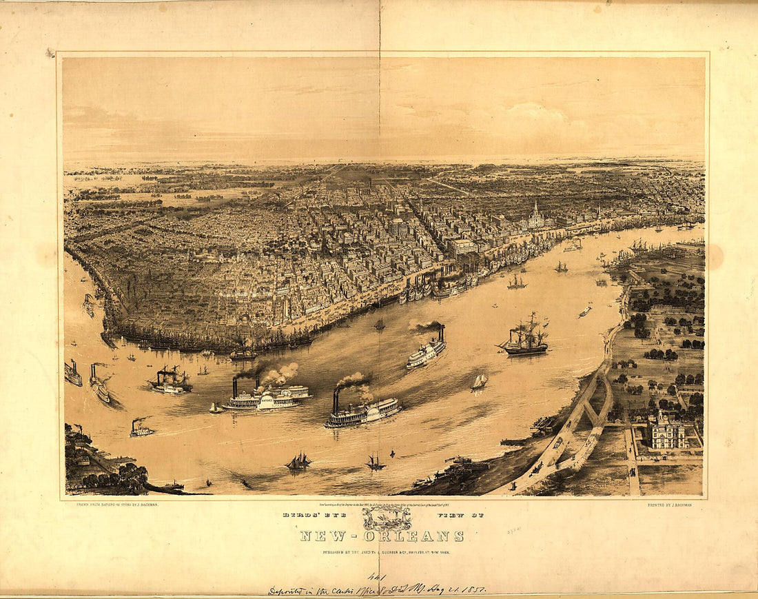 Orleans / Drawn from Nature On Stone by J. Bachman i.e., Bachmann 1851
- Regular price
-
From
$34.95 - Regular price
-
$49.99 - Sale price
-
From
$34.95


