97 products
-
New Railway Map and Guide of New York, Pennsylvania and New Jersey With Parts of Adjoining States and Canada, 1881
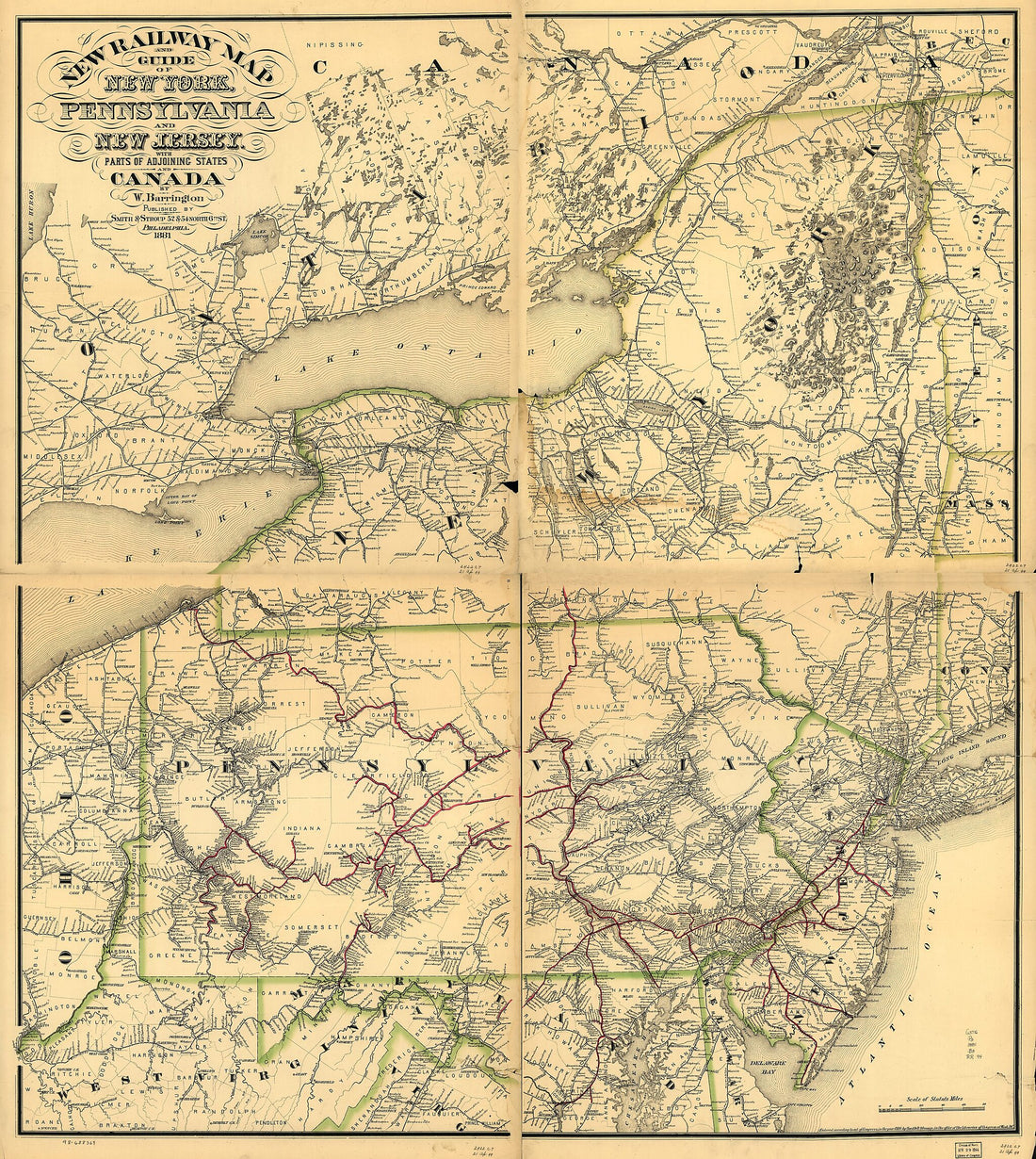 New Railway Map and Guide of New York, Pennsylvania and New Jersey With Parts of Adjoining States and Canada, 1881
- Regular price
-
From
$34.95 - Regular price
-
$49.99 - Sale price
-
From
$34.95
-
Bowles's Map of the Seat of War In New England. Comprehending the Provinces of Massachusets Bay, and New Hampshire; With the Colonies of Connecticut and Rhode Island; Divided Into Their Townships; From the Best Authorities in 1776
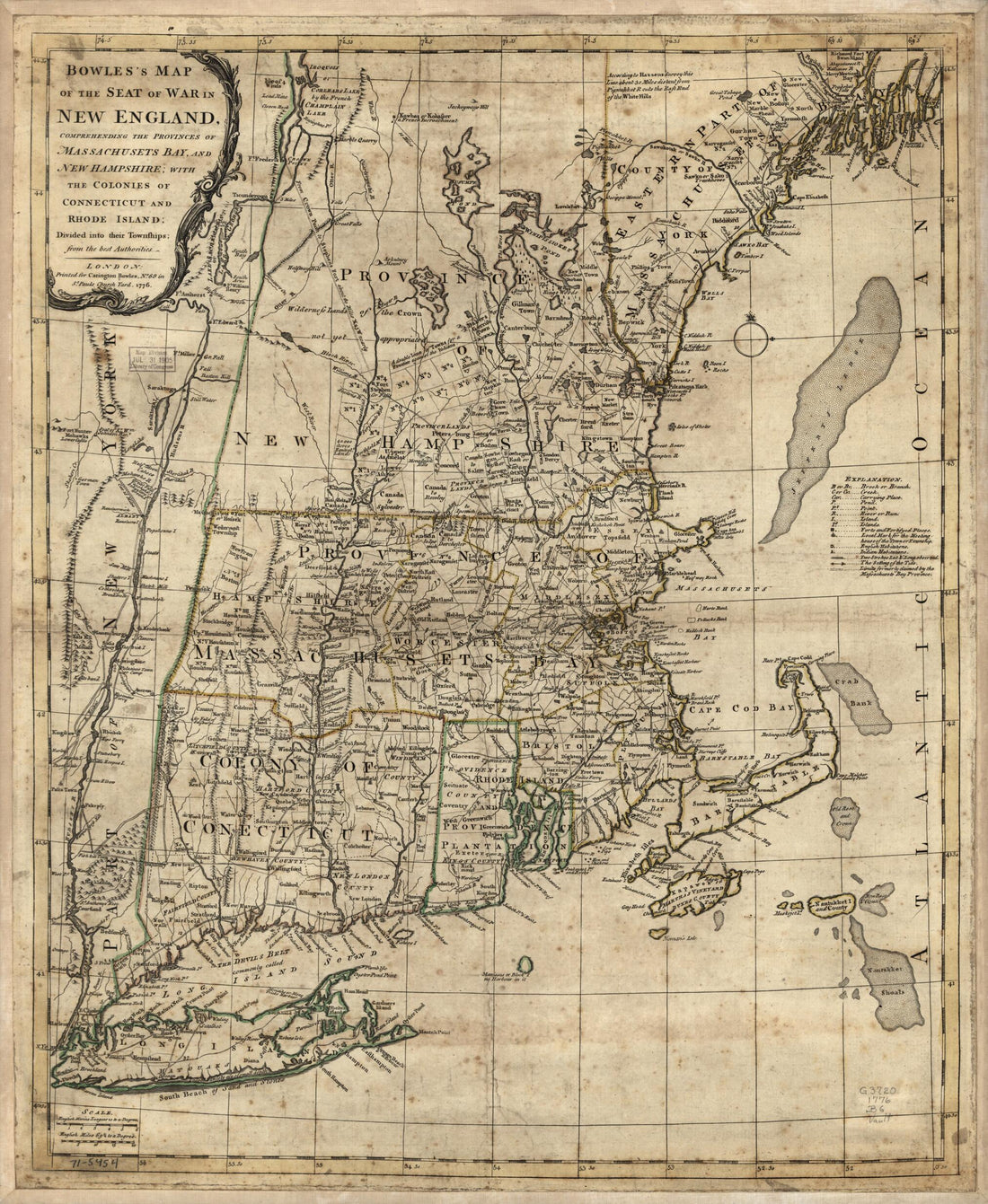 Bowles's Map of the Seat of War In New England. Comprehending the Provinces of Massachusets Bay, and New Hampshire; With the Colonies of Connecticut and Rhode Island; Divided Into Their Townships; From the Best Authorities in 1776
- Regular price
-
From
$34.95 - Regular price
-
$49.99 - Sale price
-
From
$34.95
-
An Accurate Map of New Hampshire In New England, from a Late Survey 1781
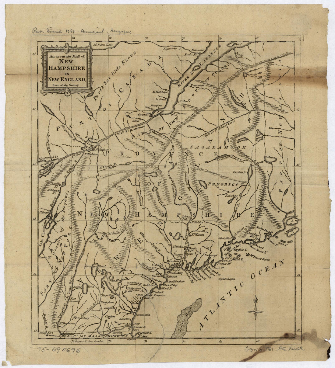 An Accurate Map of New Hampshire In New England, from a Late Survey 1781
- Regular price
-
From
$21.95 - Regular price
-
$33.95 - Sale price
-
From
$21.95
-
Carta Que Comprehende La Neuva York, Nueva Ynglaterra, La Acadia ò Neuva Escocia La Ysla Real, La De Sn. Juan, Con Parte De La De Terra Noba: 1781
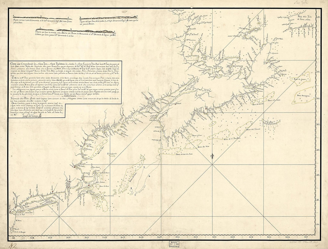 Carta Que Comprehende La Neuva York, Nueva Ynglaterra, La Acadia ò Neuva Escocia La Ysla Real, La De Sn. Juan, Con Parte De La De Terra Noba: 1781
- Regular price
-
From
$32.95 - Regular price
-
$51.99 - Sale price
-
From
$32.95
-
Map of the Western Vermont Rail Road and Connecting Lines, Wm. B. Gilbert, Chief Engineer 1851
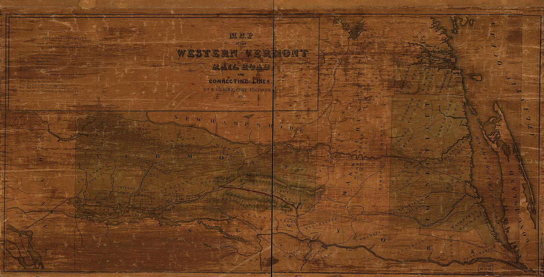 Map of the Western Vermont Rail Road and Connecting Lines, Wm. B. Gilbert, Chief Engineer 1851
- Regular price
-
From
$41.95 - Regular price
-
$66.99 - Sale price
-
From
$41.95
-
A Plan of the Coast From Cape Anne In North Latitude 42⁰42ʹ & 70⁰33ʹ West Longitude From Greenwich: ... to Isle Scattery In Long. 50⁰40ʹ & Latitude 46⁰ 0ʹ North, ... Including the Isle of Sable in 1775
 A Plan of the Coast From Cape Anne In North Latitude 42⁰42ʹ & 70⁰33ʹ West Longitude From Greenwich: ... to Isle Scattery In Long. 50⁰40ʹ & Latitude 46⁰ 0ʹ North, ... Including the Isle of Sable in 1775
- Regular price
-
From
$41.95 - Regular price
-
$66.99 - Sale price
-
From
$41.95
-
Telegraph and Rail Road Map of the New England States 1854
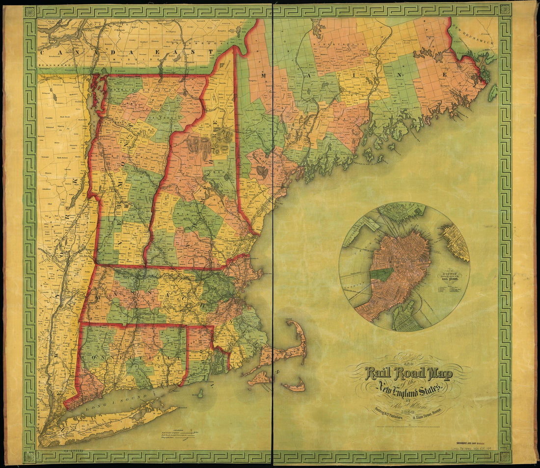 Telegraph and Rail Road Map of the New England States 1854
- Regular price
-
From
$34.95 - Regular price
-
$49.99 - Sale price
-
From
$34.95
-
J. Sage & Sons New & Reliable Rail Road Map, Travellers Edition, Eastern 1859
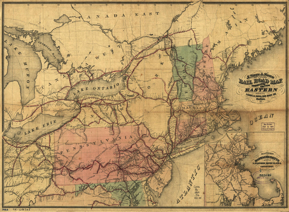 J. Sage & Sons New & Reliable Rail Road Map, Travellers Edition, Eastern 1859
- Regular price
-
From
$32.95 - Regular price
-
$51.99 - Sale price
-
From
$32.95
-
Board : Harbours, Bays, Islands, Roads, Rocks, Sands, the Setting and Flowing of Tides and Currents, With Several Other Directions of Great Advantage to This Part of Navigation In North America 1734
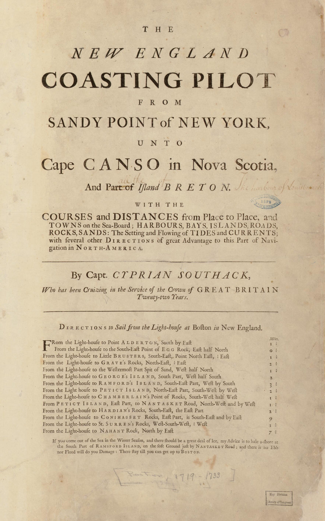 Board : Harbours, Bays, Islands, Roads, Rocks, Sands, the Setting and Flowing of Tides and Currents, With Several Other Directions of Great Advantage to This Part of Navigation In North America 1734
- Regular price
-
From
$26.95 - Regular price
-
$40.95 - Sale price
-
From
$26.95
-
The Coast of New England 1776
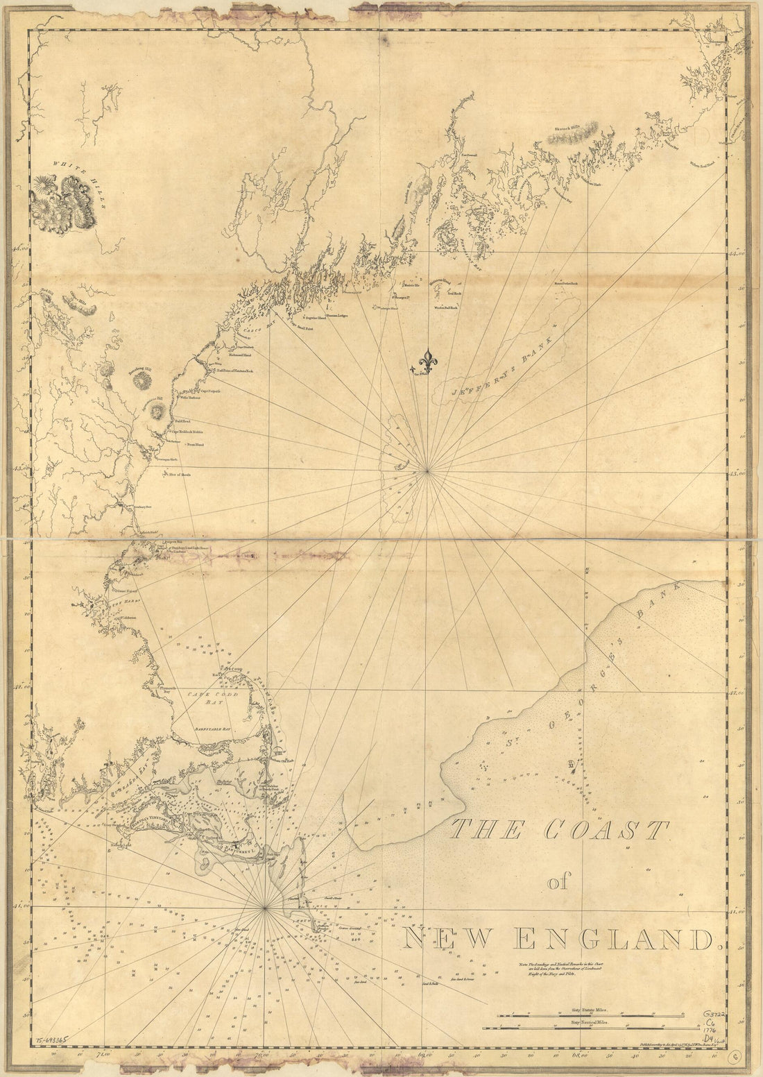 The Coast of New England 1776
- Regular price
-
From
$32.95 - Regular price
-
$51.99 - Sale price
-
From
$32.95
-
A New Chart of Massachusetts Bay, and Part of the Coast of Maine 1853
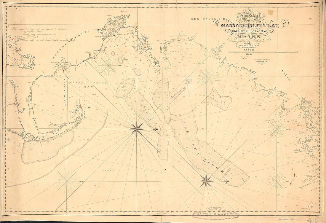 A New Chart of Massachusetts Bay, and Part of the Coast of Maine 1853
- Regular price
-
From
$41.95 - Regular price
-
$66.99 - Sale price
-
From
$41.95
-
A Chart Exhibiting the Light Houses and Light Vessels On the Coast of the United States of America : from Maine to Virginia Inclusive (Chart Exhibiting the Light Houses and Light Vessels from Maine to Virginia Inclusive) 1848
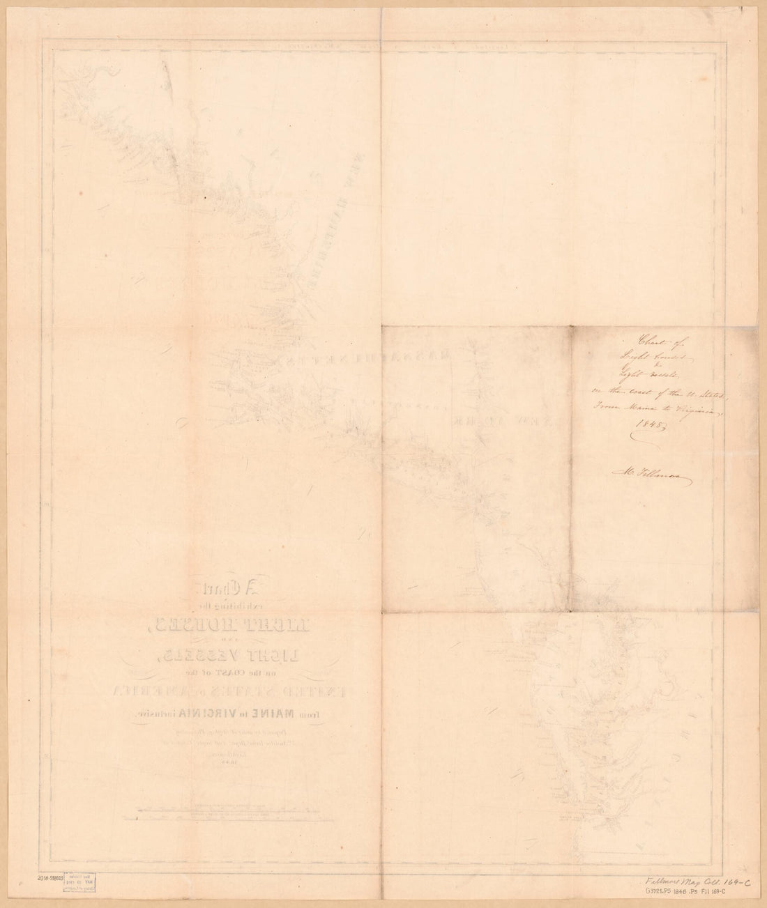 A Chart Exhibiting the Light Houses and Light Vessels On the Coast of the United States of America : from Maine to Virginia Inclusive (Chart Exhibiting the Light Houses and Light Vessels from Maine to Virginia Inclusive) 1848
- Regular price
-
From
$34.95 - Regular price
-
$49.99 - Sale price
-
From
$34.95


