97 products
-
The Atlantic Neptune, Published for the Use of the Royal Navy of Great Britain 1780
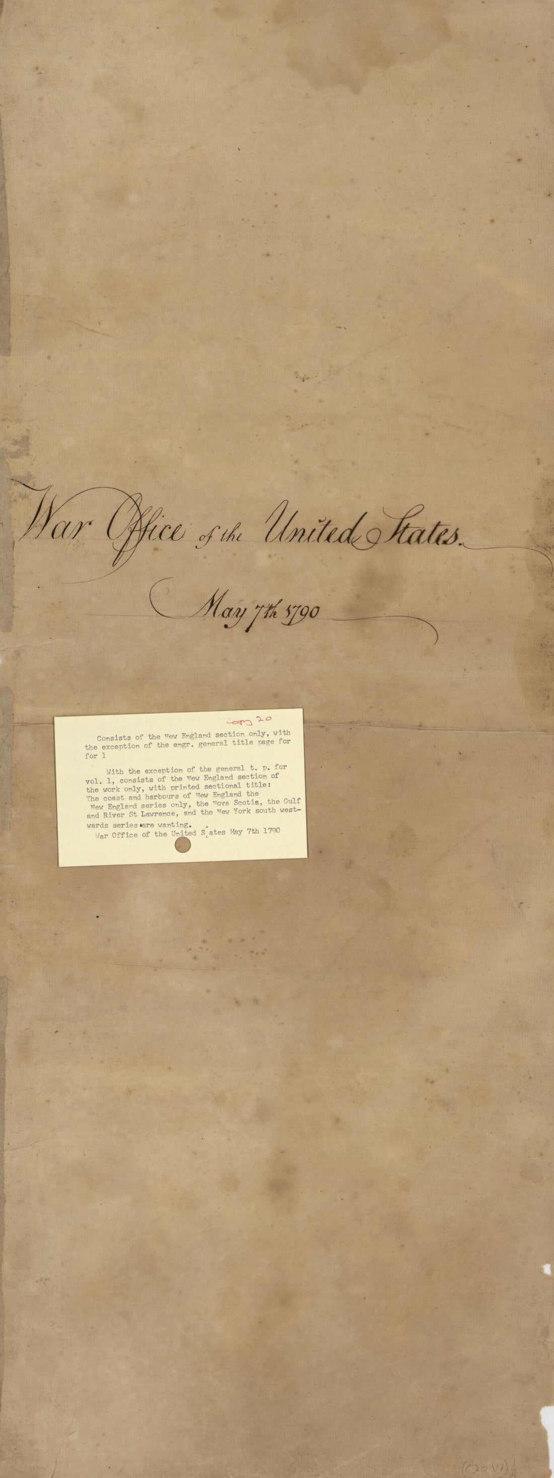 The Atlantic Neptune, Published for the Use of the Royal Navy of Great Britain 1780
- Regular price
-
From
$34.95 - Regular price
-
$53.95 - Sale price
-
From
$34.95
-
Carte De La Nouvelle Angleterre, Nouvelle Yorck, Et Pensilvanie : Pour Servir à L'histoire Générale Des Voyages 1757
 Carte De La Nouvelle Angleterre, Nouvelle Yorck, Et Pensilvanie : Pour Servir à L'histoire Générale Des Voyages 1757
- Regular price
-
From
$19.95 - Regular price
-
$21.99 - Sale price
-
From
$19.95
-
A Map of the Most Inhabited Part of New England : Containing the Provinces of Massachusets Bay and New Hampshire, With the Colonies of Conecticut and Rhode Island, Divided Into Counties and Townships 1776
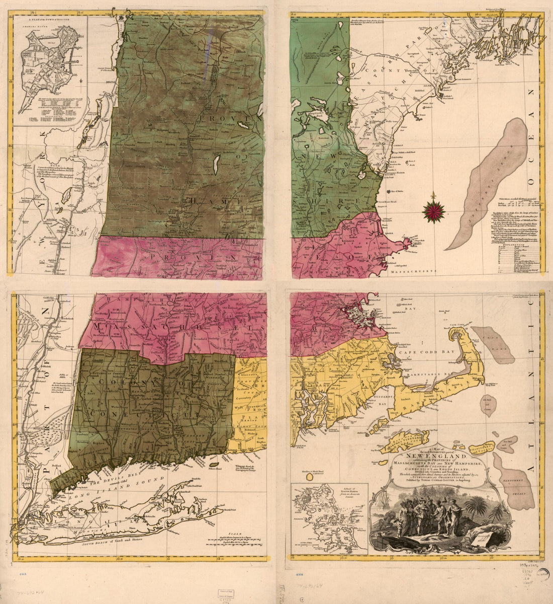 A Map of the Most Inhabited Part of New England : Containing the Provinces of Massachusets Bay and New Hampshire, With the Colonies of Conecticut and Rhode Island, Divided Into Counties and Townships 1776
- Regular price
-
From
$34.95 - Regular price
-
$49.99 - Sale price
-
From
$34.95
-
A Map of the Most Inhabited Part of New England, Containing the Provinces of Massachusets Bay and New Hampshire, With the Colonies of Conecticut and Rhode Island, Divided Into Counties and Townships: the Whole Composed from Actual Surveys and Its Situ...
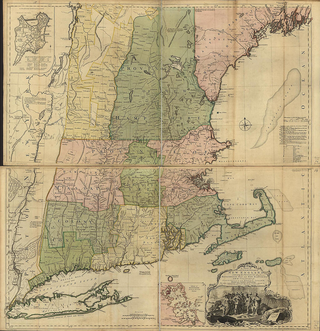 A Map of the Most Inhabited Part of New England, Containing the Provinces of Massachusets Bay and New Hampshire, With the Colonies of Conecticut and Rhode Island, Divided Into Counties and Townships: the Whole Composed from Actual Surveys and Its Situ...
- Regular price
-
From
$34.95 - Regular price
-
$49.99 - Sale price
-
From
$34.95
-
A New Map of Nova Scotia, and Cape Britain. With the Adjacent Parts of New England and Canada, Composed from a Great Number of Actual Surveys; and Other Materials Regulated by Many New Astronomical Observations of the Longitude As Well As Latitude; Wi...
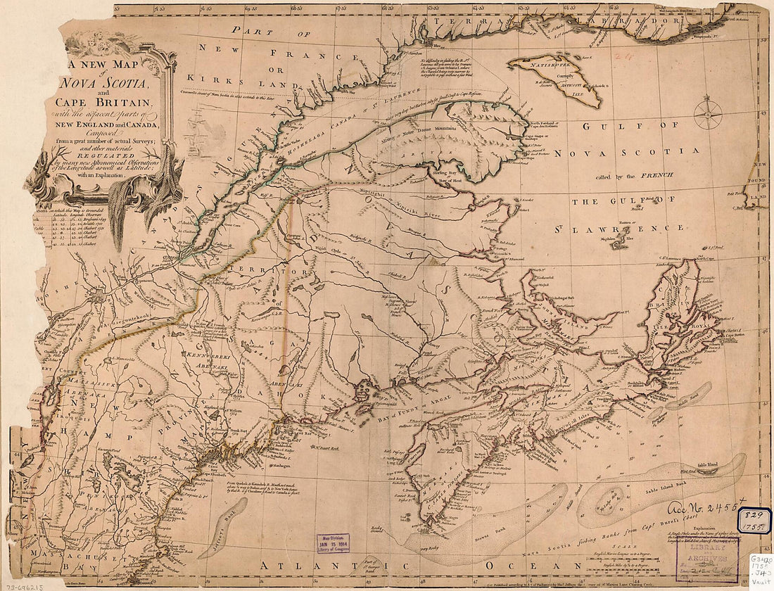 A New Map of Nova Scotia, and Cape Britain. With the Adjacent Parts of New England and Canada, Composed from a Great Number of Actual Surveys; and Other Materials Regulated by Many New Astronomical Observations of the Longitude As Well As Latitude; Wi...
- Regular price
-
From
$32.95 - Regular price
-
$51.99 - Sale price
-
From
$32.95
-
A Map of the Most Inhabited Part of New England, Containing the Provinces of Massachusets Bay and New Hampshire, With the Colonies of Conecticut and Rhode Island, Divided Into Counties and Townships; the Whole Composed from Actual Surveys and Its Situ...
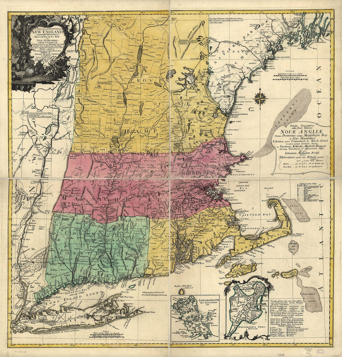 A Map of the Most Inhabited Part of New England, Containing the Provinces of Massachusets Bay and New Hampshire, With the Colonies of Conecticut and Rhode Island, Divided Into Counties and Townships; the Whole Composed from Actual Surveys and Its Situ...
- Regular price
-
From
$34.95 - Regular price
-
$49.99 - Sale price
-
From
$34.95
-
Map of the Portland and Ogdensburg Rail Road Line, and Connections 1850
 Map of the Portland and Ogdensburg Rail Road Line, and Connections 1850
- Regular price
-
From
$32.95 - Regular price
-
$51.99 - Sale price
-
From
$32.95
-
A Map of the New England States, Maine, New Hampshire, Vermont, Massachusetts, Rhode Island & Connecticut With the Adjacent Parts of New York & Lower Canada; Compiled and Published by Nathan Hale, Boston, 1826 in 1849
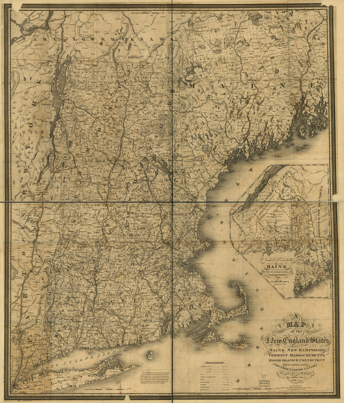 A Map of the New England States, Maine, New Hampshire, Vermont, Massachusetts, Rhode Island & Connecticut With the Adjacent Parts of New York & Lower Canada; Compiled and Published by Nathan Hale, Boston, 1826 in 1849
- Regular price
-
From
$34.95 - Regular price
-
$49.99 - Sale price
-
From
$34.95
-
Belgii Novi, Angliæ Novæ, Et Partis Virginiæ : Novissima Delineatio 1657
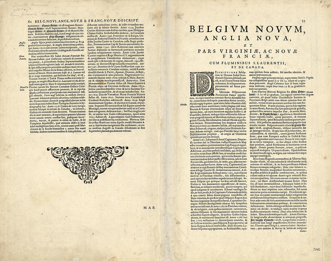 Belgii Novi, Angliæ Novæ, Et Partis Virginiæ : Novissima Delineatio 1657
- Regular price
-
From
$34.95 - Regular price
-
$49.99 - Sale price
-
From
$34.95
-
New England, New York, New Jersey and Pensilvania 1736
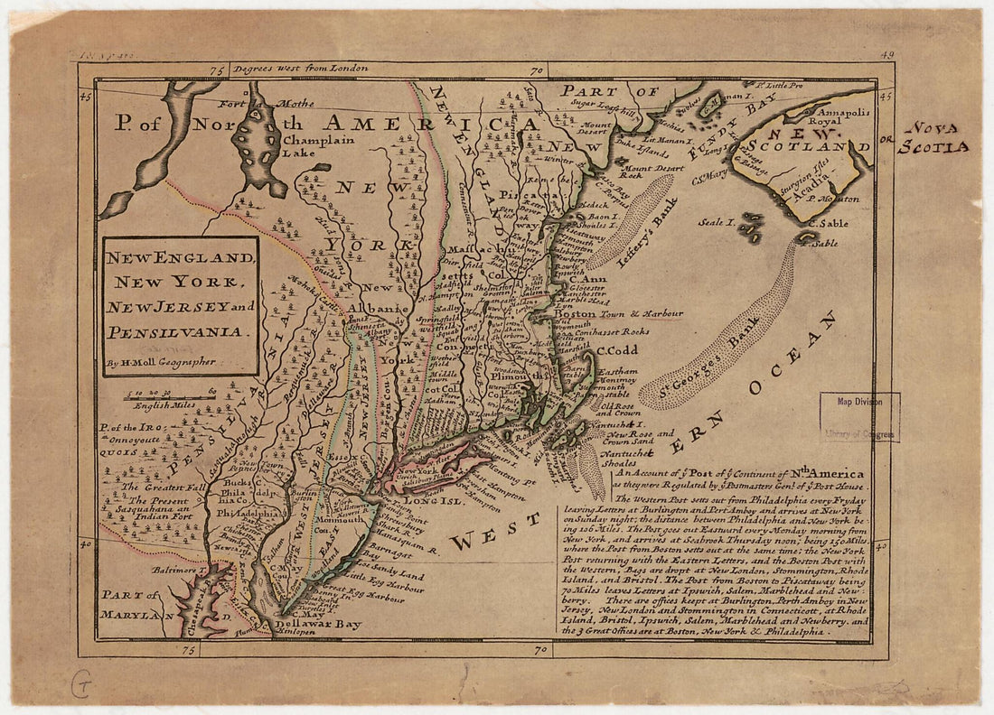 New England, New York, New Jersey and Pensilvania 1736
- Regular price
-
From
$19.95 - Regular price
-
$29.95 - Sale price
-
From
$19.95
-
A Map of the Most Inhabited Part of New England, Containing the Provinces of Massachusets Bay and New Hampshire With the Colonies of Conecticut and Rhode Island Divided Into Counties and Townships, the Whole Composed From Actual Surveys and Its Situat...
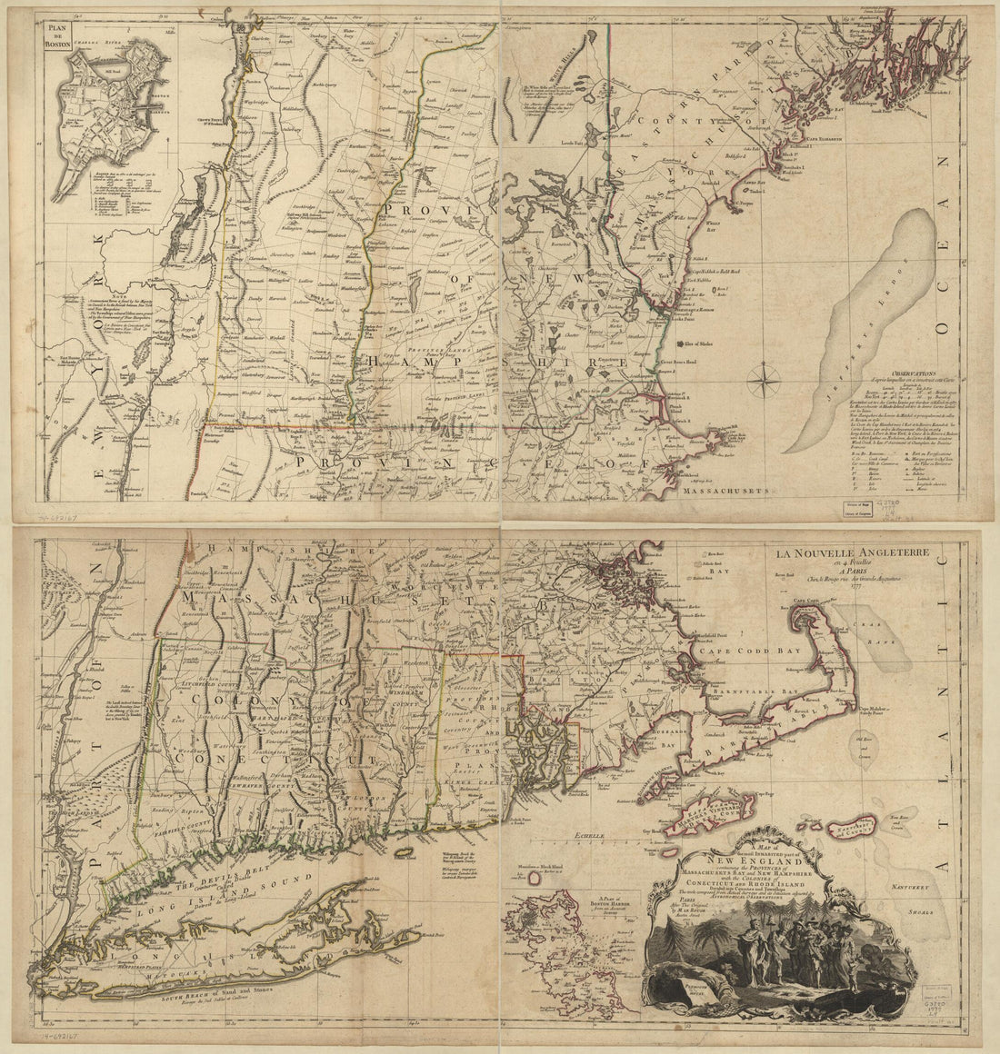 A Map of the Most Inhabited Part of New England, Containing the Provinces of Massachusets Bay and New Hampshire With the Colonies of Conecticut and Rhode Island Divided Into Counties and Townships, the Whole Composed From Actual Surveys and Its Situat...
- Regular price
-
From
$34.95 - Regular price
-
$49.99 - Sale price
-
From
$34.95
-
Novi Belgii Novaeque Angliae : Nec Non Partis Virginiae Tabula Multis In Locis Emendata in 1690
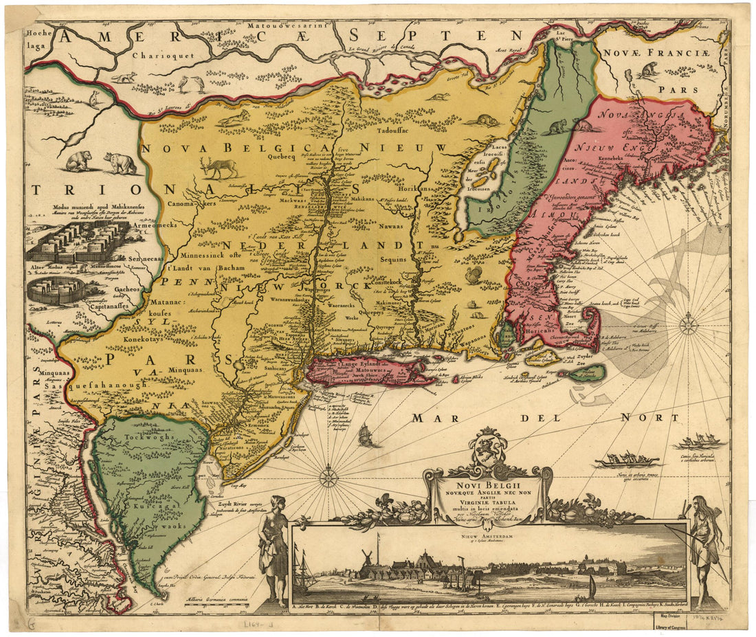 Novi Belgii Novaeque Angliae : Nec Non Partis Virginiae Tabula Multis In Locis Emendata in 1690
- Regular price
-
From
$34.95 - Regular price
-
$49.99 - Sale price
-
From
$34.95


