62 products
-
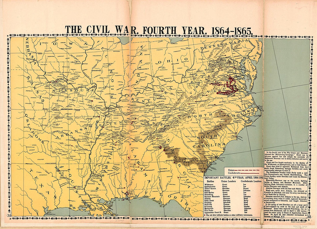
McConnell's Historical Maps of the United States (Historical Maps of the United States) 1919
 McConnell's Historical Maps of the United States (Historical Maps of the United States) 1919
- Regular price
-
From
$32.95 - Regular price
-
$51.99 - Sale price
-
From
$32.95
-
United States of America 1818
 United States of America 1818
- Regular price
-
From
$34.95 - Regular price
-
$49.99 - Sale price
-
From
$34.95
-
Map of the United States : Drawn from the Most Approved Surveys. (U. States) 1826
 Map of the United States : Drawn from the Most Approved Surveys. (U. States) 1826
- Regular price
-
From
$34.95 - Regular price
-
$49.99 - Sale price
-
From
$34.95
-
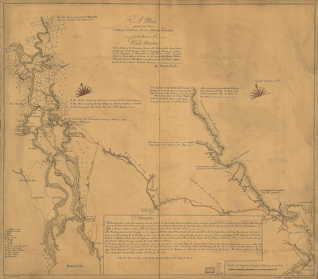
A Plan of Part of the Rivers Tombecbe, Alabama, Tensa, Perdido, & Scambia In the Province of West Florida; With a Sketch of the Boundary Between the Nation of Upper Creek Indians and That Part of the Province Which Is Contigious Thereto, As Settled at...
 A Plan of Part of the Rivers Tombecbe, Alabama, Tensa, Perdido, & Scambia In the Province of West Florida; With a Sketch of the Boundary Between the Nation of Upper Creek Indians and That Part of the Province Which Is Contigious Thereto, As Settled at...
- Regular price
-
From
$34.95 - Regular price
-
$49.99 - Sale price
-
From
$34.95
-
A Map of the North West Parts of America, With the Utmost Respect, Inscrib'd to His Excellency, Sir Guy Carleton, Knight of the Bath: Captain General and Governor of the Province of Quebec: General and Commander In Chief of His Majesty's Forces In the...
 A Map of the North West Parts of America, With the Utmost Respect, Inscrib'd to His Excellency, Sir Guy Carleton, Knight of the Bath: Captain General and Governor of the Province of Quebec: General and Commander In Chief of His Majesty's Forces In the...
- Regular price
-
From
$41.95 - Regular price
-
$66.99 - Sale price
-
From
$41.95
-
Colonial America 1763
 Colonial America 1763
- Regular price
-
From
$19.95 - Regular price
-
$29.95 - Sale price
-
From
$19.95
-
Taking Possession of Louisiana and the Mississippi River, In the Name of Louis XIVth, by Cavelier De La Salle From Rouen On April 9, 1682. (Prise De Possession De La Louisiane Et Du Fleuve Mississipi, Au Nom De Louis XIV, Par Cavelier De La Salle de R...
 Taking Possession of Louisiana and the Mississippi River, In the Name of Louis XIVth, by Cavelier De La Salle From Rouen On April 9, 1682. (Prise De Possession De La Louisiane Et Du Fleuve Mississipi, Au Nom De Louis XIV, Par Cavelier De La Salle de R...
- Regular price
-
From
$19.95 - Regular price
-
$29.95 - Sale price
-
From
$19.95
-
Map of Louisiana, View of New Orleans. (Orléans) 1720
 Map of Louisiana, View of New Orleans. (Orléans) 1720
- Regular price
-
From
$32.95 - Regular price
-
$51.99 - Sale price
-
From
$32.95
-
Course of the Rivers and Streams Flowing to the West from the North of Lake Superior. (Cours Des Rivières, Et Fleuves, Courant à L'ouest Du Nord Du Lac Supérieur) 1722
 Course of the Rivers and Streams Flowing to the West from the North of Lake Superior. (Cours Des Rivières, Et Fleuves, Courant à L'ouest Du Nord Du Lac Supérieur) 1722
- Regular price
-
From
$19.95 - Regular price
-
$29.95 - Sale price
-
From
$19.95
-
Map of the United States : Compiled from the Most Authentic Sources 1831
 Map of the United States : Compiled from the Most Authentic Sources 1831
- Regular price
-
From
$32.95 - Regular price
-
$51.99 - Sale price
-
From
$32.95
-
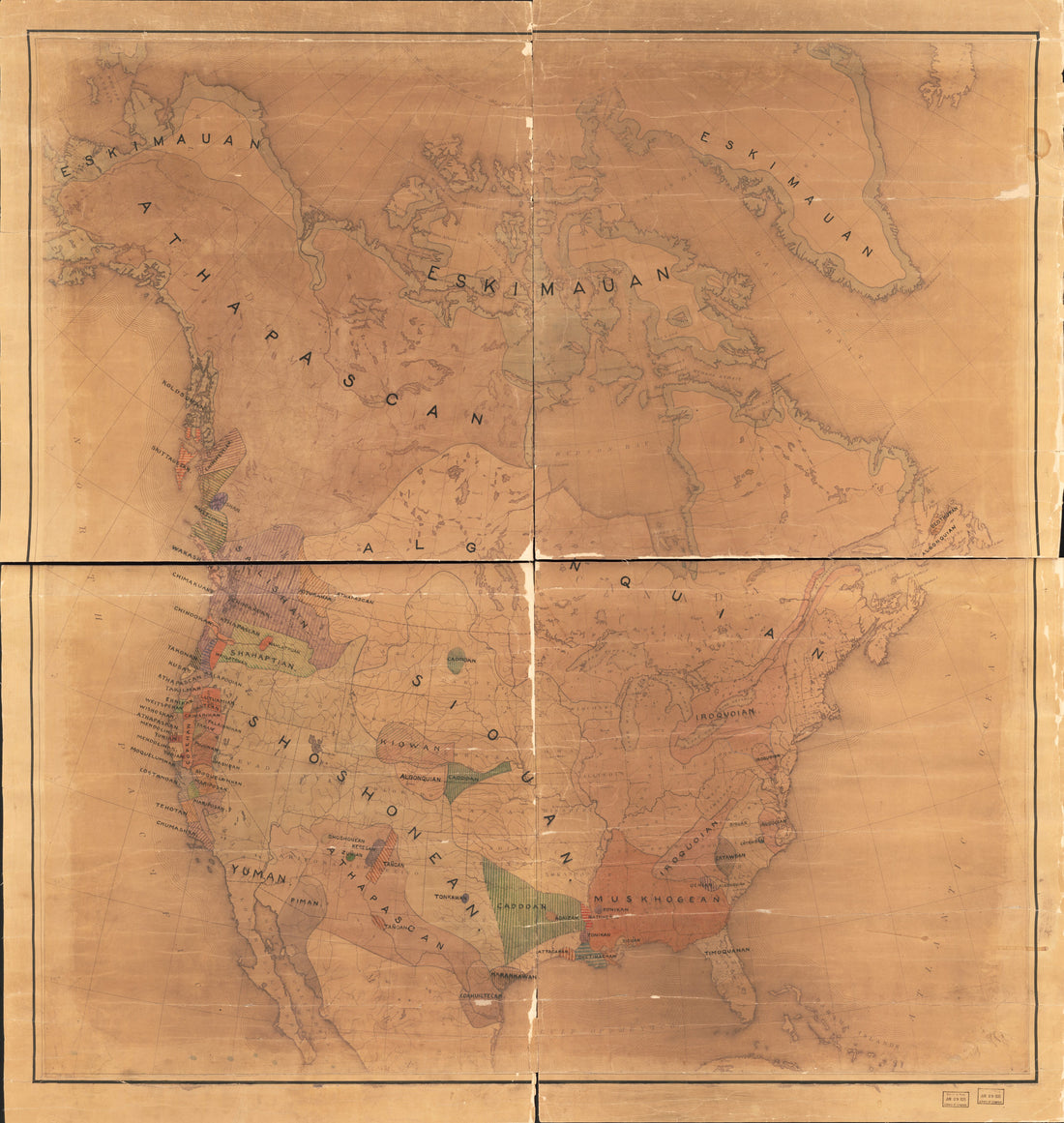
Map of North America Showing Indian Tribes 1890
 Map of North America Showing Indian Tribes 1890
- Regular price
-
From
$34.95 - Regular price
-
$49.99 - Sale price
-
From
$34.95
-
Map of the Village of the Ottawa Savages, at the Erie Strait, 1732. (Plan Du Village Des Sauvages Outaouas, Au Détroit Erié, 1732)
 Map of the Village of the Ottawa Savages, at the Erie Strait, 1732. (Plan Du Village Des Sauvages Outaouas, Au Détroit Erié, 1732)
- Regular price
-
From
$19.95 - Regular price
-
$29.95 - Sale price
-
From
$19.95


