455 products
-
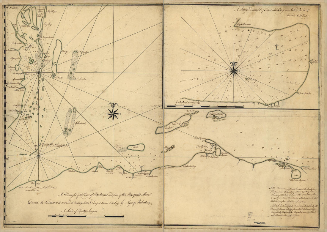 A Draught of the Bay of Honduras and Part of the Musquetto Shore 1764A Draught of the Bay of Honduras and Part of the Musquetto Shore 1764
- Regular price
-
$43.95 $139.95 - Regular price
-
$32.95 - Sale price
-
$43.95 $139.95
-
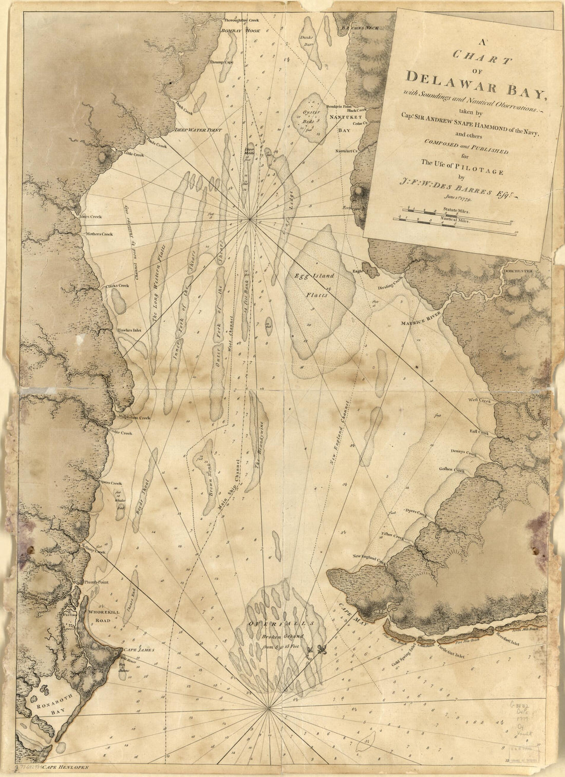 A Chart of Delawar Bay, With Soundings and Nautical Observations 1779A Chart of Delawar Bay, With Soundings and Nautical Observations 1779
- Regular price
-
$43.95 $88.95 - Regular price
-
$32.95 - Sale price
-
$43.95 $88.95
-
 A New Chart of the River St. Laurence, From the Island of Anticosti to the Falls of Richelieu: With All the Islands, Rocks, Shoals, and Soundings, Also Particular Directions for Navigating the River With Safety. Taken by the Order of Charles Saunders,...A New Chart of the River St. Laurence, From the Island of Anticosti to the Falls of Richelieu: With All the Islands, Rocks, Shoals, and Soundings, Also Particular Directions for Navigating the River With Safety. Taken by the Order of Charles Saunders,...
- Regular price
-
$46.95 $286.95 - Regular price
-
$41.95 - Sale price
-
$46.95 $286.95
-
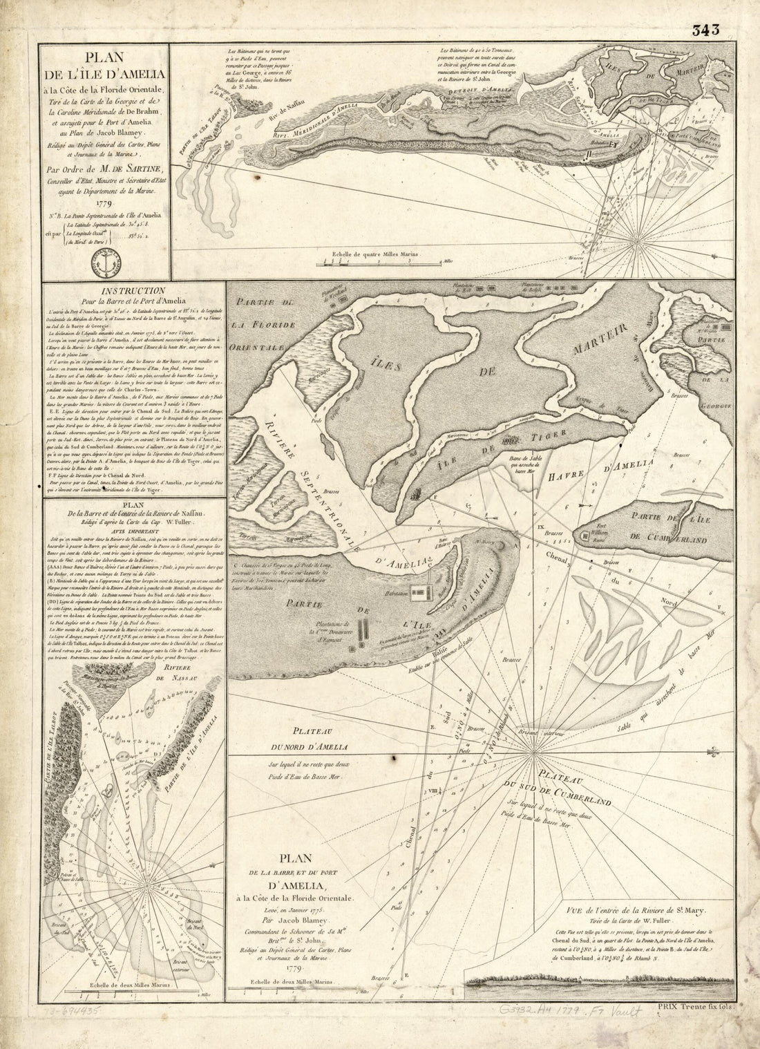 Plan De L'île D'Amelia à La Côte De La Floride Orientale, Tiré De La Carte De La Georgie Et De La Caroline Méridionale De De Brahm, Et Assujeti Pour Le Port De L'entrée De La Riviere De Nassau, Rédigé D'après La Carte Du W. Fuller. Plan De La...Plan De L'île D'Amelia à La Côte De La Floride Orientale, Tiré De La Carte De La Georgie Et De La Caroline Méridionale De De Brahm, Et Assujeti Pour Le Port De L'entrée De La Riviere De Nassau, Rédigé D'après La Carte Du W. Fuller. Plan De La...
- Regular price
-
$43.95 $88.95 - Regular price
-
$32.95 - Sale price
-
$43.95 $88.95
-
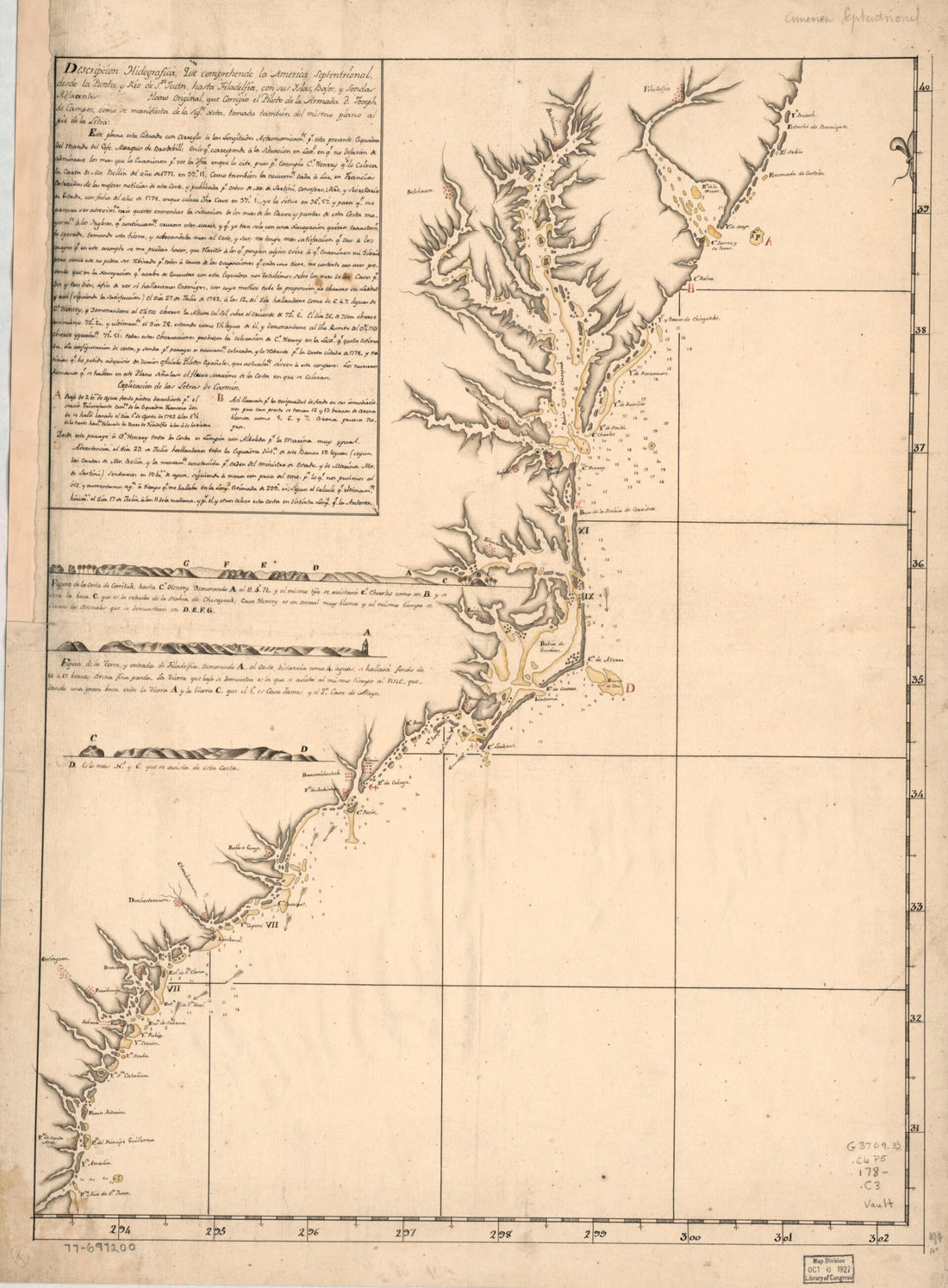 Descripcion Hidografica, Que Comprehende La America Septentrional, Desde La Punta, Y Rio De Sn. Juan, Hasta Filadelfia, Con Sus Yslas, Bajos Y Sondas Adjacentes: 1780Descripcion Hidografica, Que Comprehende La America Septentrional, Desde La Punta, Y Rio De Sn. Juan, Hasta Filadelfia, Con Sus Yslas, Bajos Y Sondas Adjacentes: 1780
- Regular price
-
$43.95 $88.95 - Regular price
-
$32.95 - Sale price
-
$43.95 $88.95
-
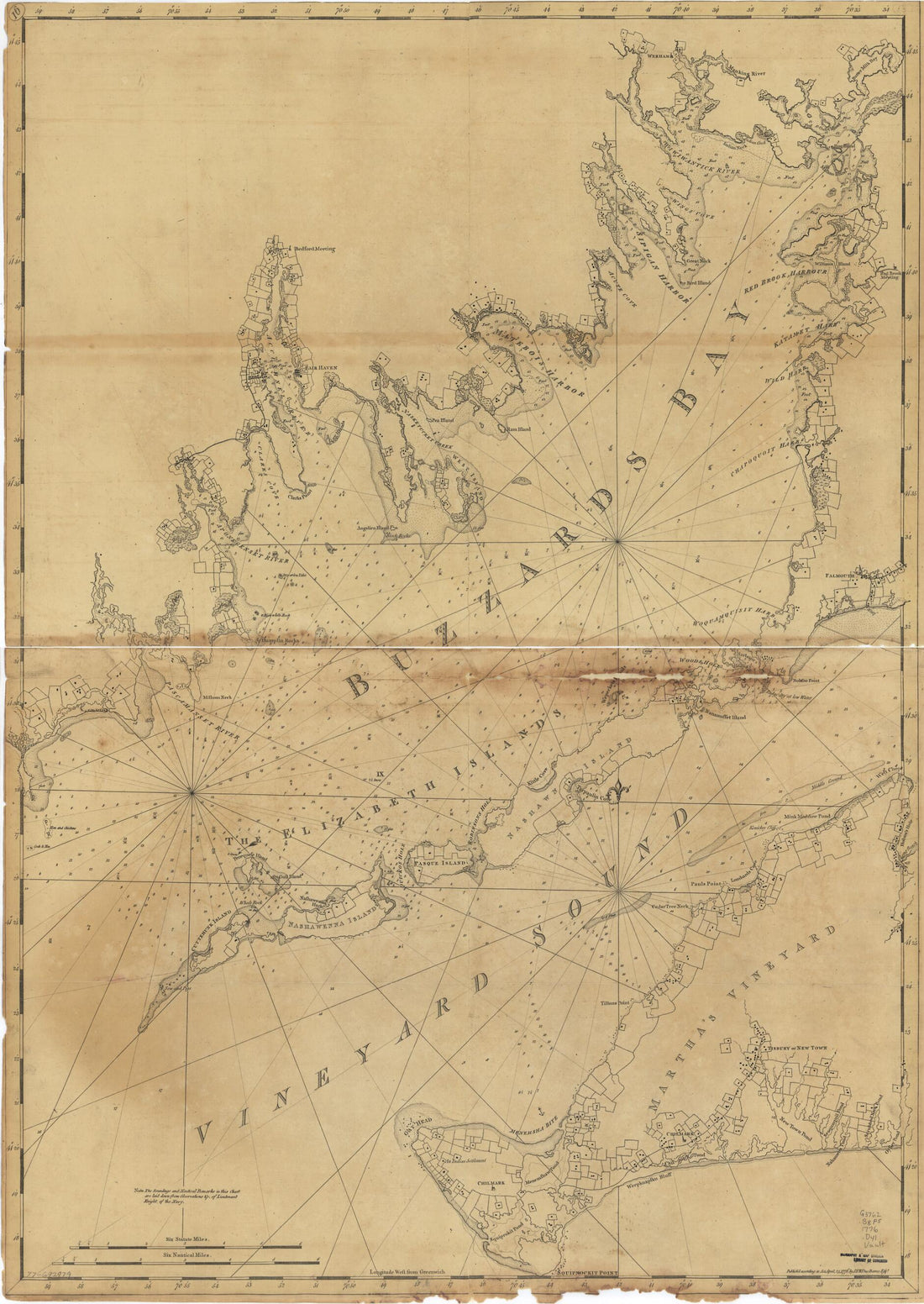 Chart of Buzzards Bay and Vineyard Sound 1776Chart of Buzzards Bay and Vineyard Sound 1776
- Regular price
-
$43.95 $127.95 - Regular price
-
$32.95 - Sale price
-
$43.95 $127.95
-
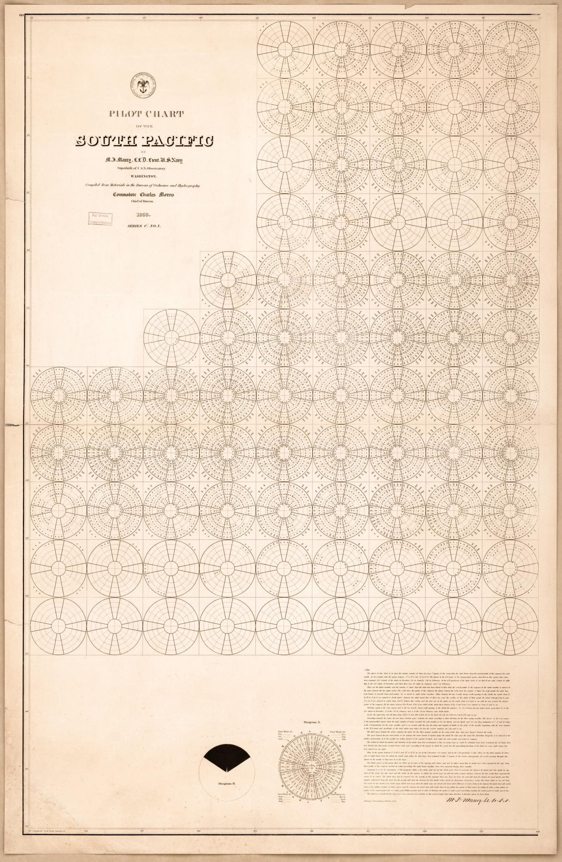 Pilot Chart of the South Pacific (South Pacific) 1851Pilot Chart of the South Pacific (South Pacific) 1851
- Regular price
-
$46.95 $99.95 - Regular price
-
$41.95 - Sale price
-
$46.95 $99.95
-
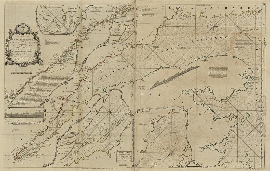 An Exact Chart of the River St. Laurence, from Fort Frontenac to the Island of Anticosti Shewing the Soundings, Rocks, Shoals &c With Views of the Lands and All Necessary Instructions for Navigating That River to Quebec 1771An Exact Chart of the River St. Laurence, from Fort Frontenac to the Island of Anticosti Shewing the Soundings, Rocks, Shoals &c With Views of the Lands and All Necessary Instructions for Navigating That River to Quebec 1771
- Regular price
-
$46.95 $216.95 - Regular price
-
$41.95 - Sale price
-
$46.95 $216.95
-
 Mount Desert Island and Neighboring Coast of Maine 1776Mount Desert Island and Neighboring Coast of Maine 1776
- Regular price
-
$46.95 $132.95 - Regular price
-
$41.95 - Sale price
-
$46.95 $132.95
-
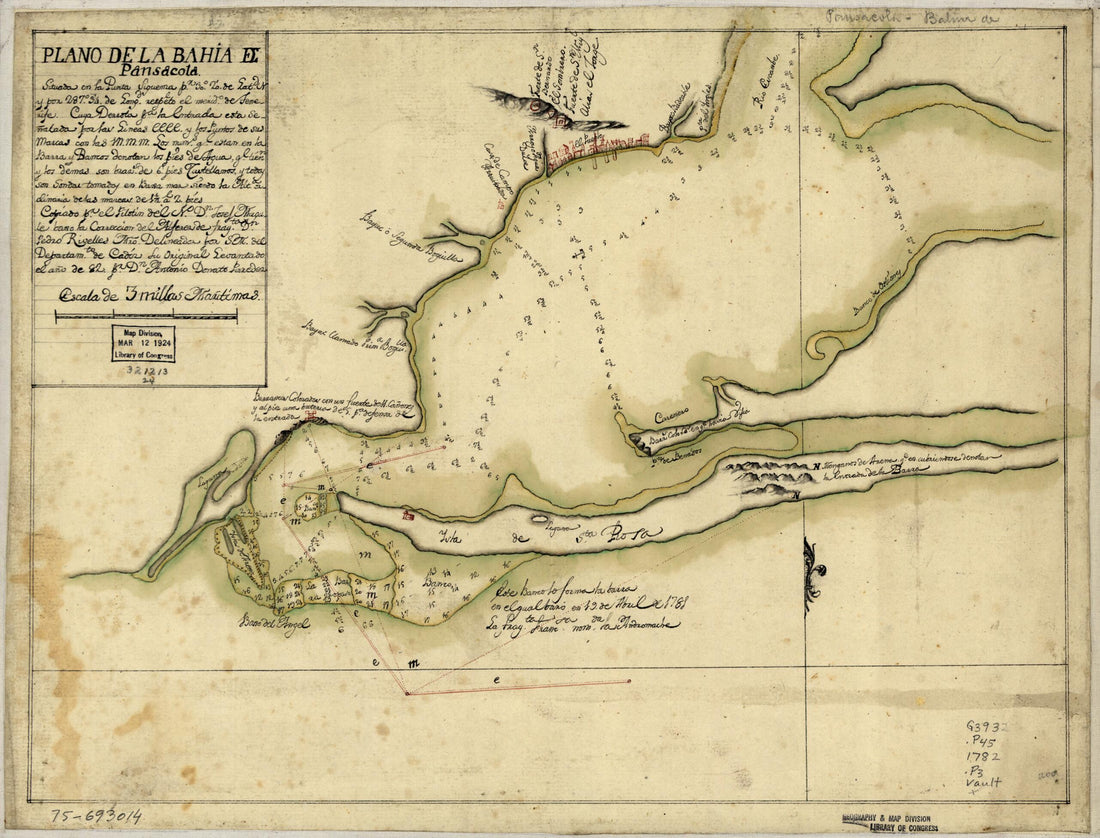 Plano De La Bahia De Pansacola 1782Plano De La Bahia De Pansacola 1782
- Regular price
-
$39.95 $88.95 - Regular price
-
$29.95 - Sale price
-
$39.95 $88.95
-
 Cod, to the Havannah; in 1784Cod, to the Havannah; in 1784
- Regular price
-
$46.95 $182.95 - Regular price
-
$41.95 - Sale price
-
$46.95 $182.95
-
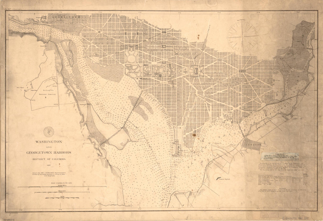 Washington and Georgetown Harbors, District of Columbia 1882Washington and Georgetown Harbors, District of Columbia 1882
- Regular price
-
$46.95 $99.95 - Regular price
-
$41.95 - Sale price
-
$46.95 $99.95


