455 products
-
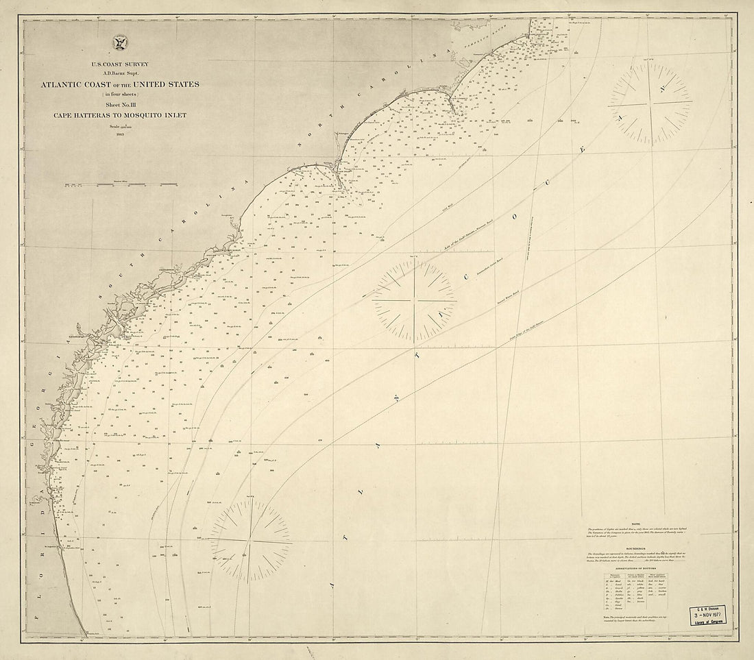 Atlantic Coast of the United States (in Four Sheets) : Sheet No. III, Cape Hatteras to Mosquito Inlet 1863Atlantic Coast of the United States (in Four Sheets) : Sheet No. III, Cape Hatteras to Mosquito Inlet 1863
- Regular price
-
$39.95 $126.95 - Regular price
-
$34.95 - Sale price
-
$39.95 $126.95
-
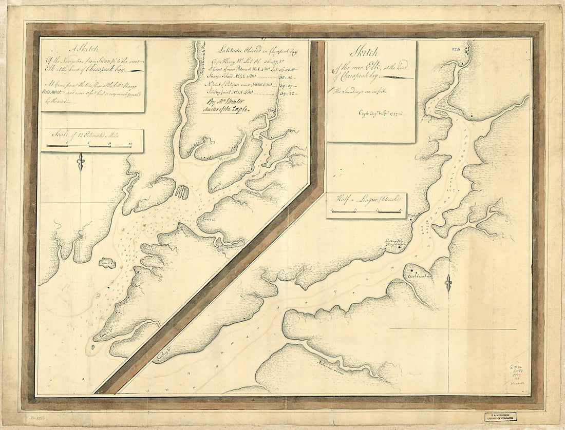 A Sketch of the Navigation from Swan Pt. to the River Elk at the Head of Chesapeak Bay. Sketch of the River Elk, at the Head of Chesapeak Bay 1777A Sketch of the Navigation from Swan Pt. to the River Elk at the Head of Chesapeak Bay. Sketch of the River Elk, at the Head of Chesapeak Bay 1777
- Regular price
-
$43.95 $156.95 - Regular price
-
$32.95 - Sale price
-
$43.95 $156.95
-
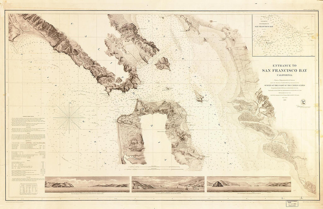 Asst. ; Topography by R.D. Cutts, Asst., A.M. Harrison & A.F. Rodgers, Sub-Assts. ; Hydrography by the Party Under the Command of Lieut. Comdg. James Alden, U.S.N. Assist 1859Asst. ; Topography by R.D. Cutts, Asst., A.M. Harrison & A.F. Rodgers, Sub-Assts. ; Hydrography by the Party Under the Command of Lieut. Comdg. James Alden, U.S.N. Assist 1859
- Regular price
-
$46.95 $213.95 - Regular price
-
$41.95 - Sale price
-
$46.95 $213.95
-
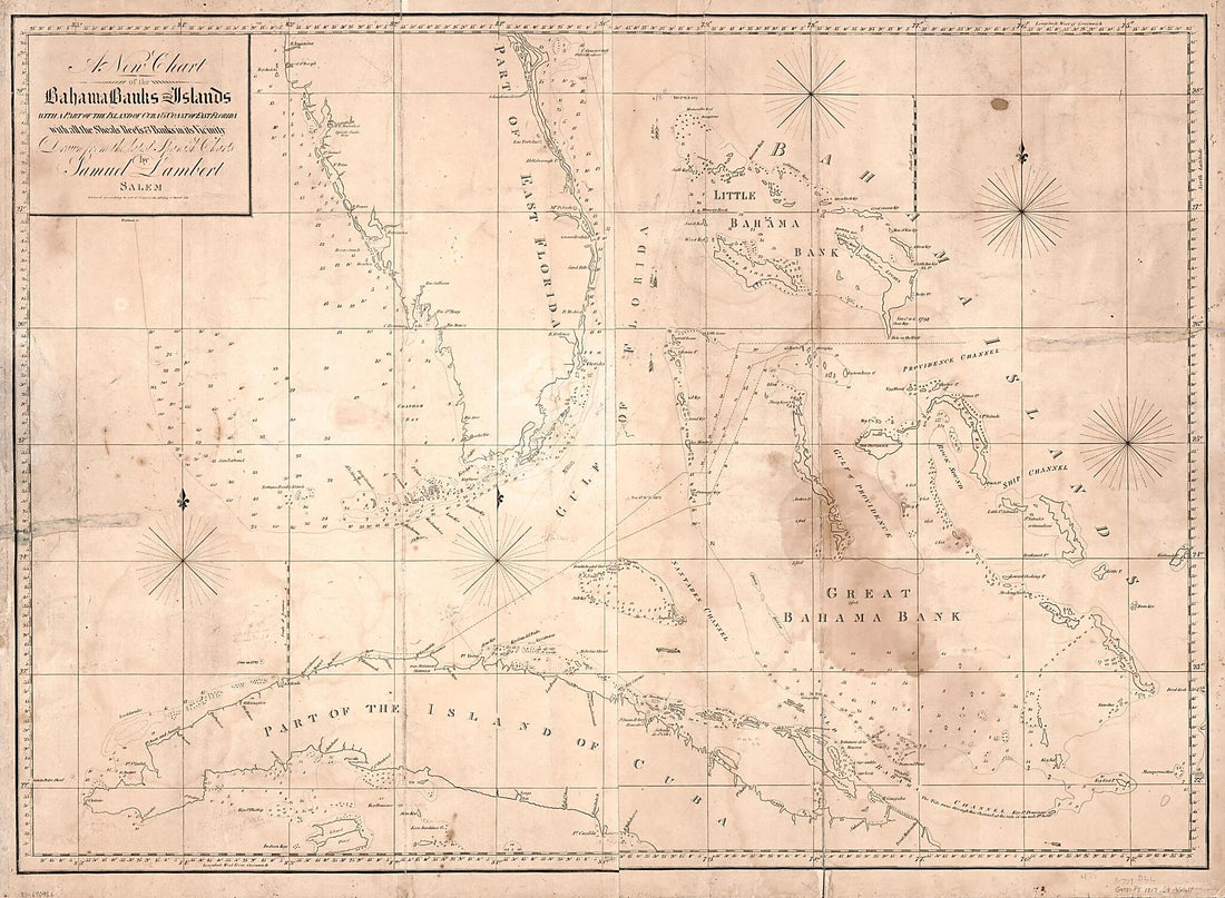 A New Chart of the Bahama Banks and Islands With a Part of the Island of Cuba & Coast of East Florida With All the Shoals, Reefs and Banks In Its Vicinity 1817A New Chart of the Bahama Banks and Islands With a Part of the Island of Cuba & Coast of East Florida With All the Shoals, Reefs and Banks In Its Vicinity 1817
- Regular price
-
$43.95 $235.95 - Regular price
-
$32.95 - Sale price
-
$43.95 $235.95
-
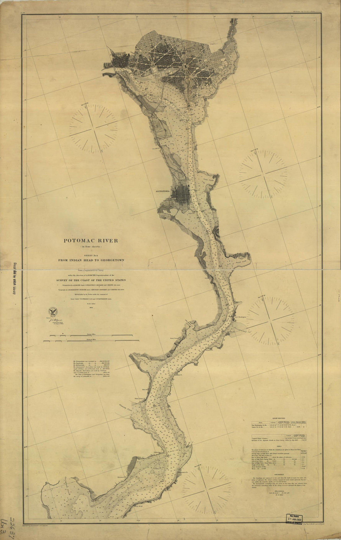 Potomac River (in Four Sheets): Sheet No. 4, From Indian Head to Georgetown in 1864Potomac River (in Four Sheets): Sheet No. 4, From Indian Head to Georgetown in 1864
- Regular price
-
$46.95 $108.95 - Regular price
-
$41.95 - Sale price
-
$46.95 $108.95
-
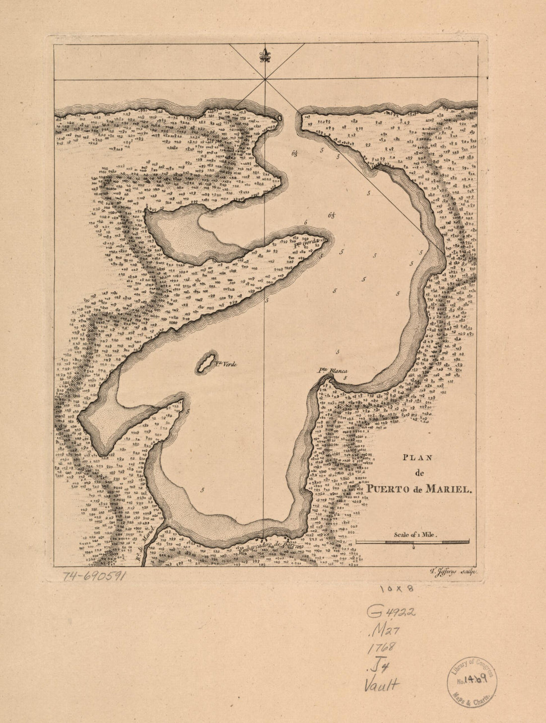 Plan De Puerto De Mariel in 1768Plan De Puerto De Mariel in 1768
- Regular price
-
$39.95 $88.95 - Regular price
-
$29.95 - Sale price
-
$39.95 $88.95
-
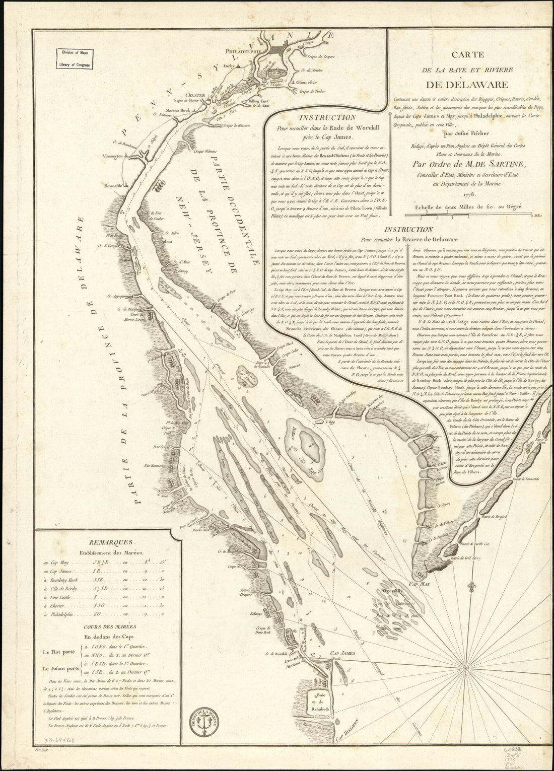 Sonds, Sables Et Les Gissements Des Marques Les Plus Considérables Du Pays, Depuis Les Caps James Et May Jusqu'à Philadelphie, Suivant La Carte Originale in 1778Sonds, Sables Et Les Gissements Des Marques Les Plus Considérables Du Pays, Depuis Les Caps James Et May Jusqu'à Philadelphie, Suivant La Carte Originale in 1778
- Regular price
-
$43.95 $88.95 - Regular price
-
$32.95 - Sale price
-
$43.95 $88.95
-
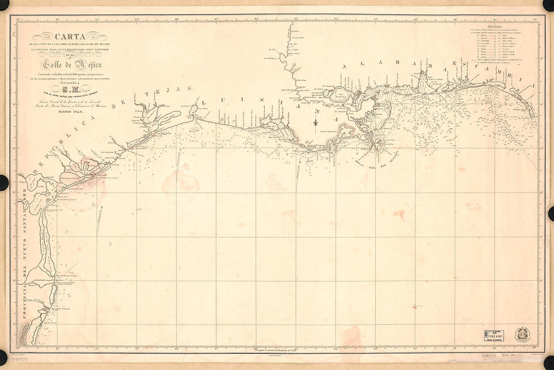 Carta De Las Costas De La Escambia, Alabama Y Bocas Del Rio Misisipi, La Luisiana, Tejas, Con La Provincia Del Nuevo Santander, En El Golfo De Mejico 1846Carta De Las Costas De La Escambia, Alabama Y Bocas Del Rio Misisipi, La Luisiana, Tejas, Con La Provincia Del Nuevo Santander, En El Golfo De Mejico 1846
- Regular price
-
$46.95 $218.95 - Regular price
-
$41.95 - Sale price
-
$46.95 $218.95
-
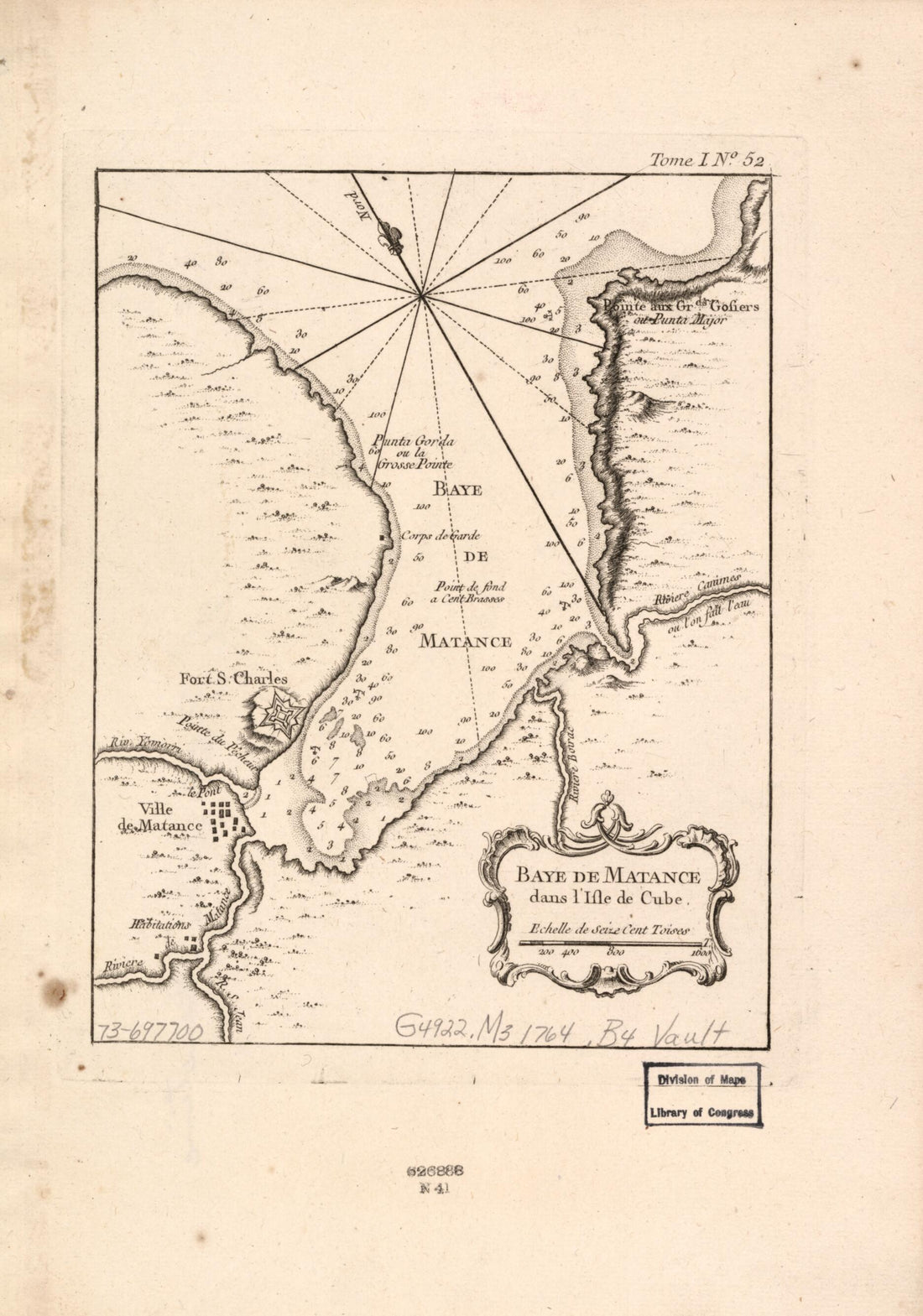 Baye De Matance Dans L'isle De Cube in 1764Baye De Matance Dans L'isle De Cube in 1764
- Regular price
-
$39.95 $99.95 - Regular price
-
$29.95 - Sale price
-
$39.95 $99.95
-
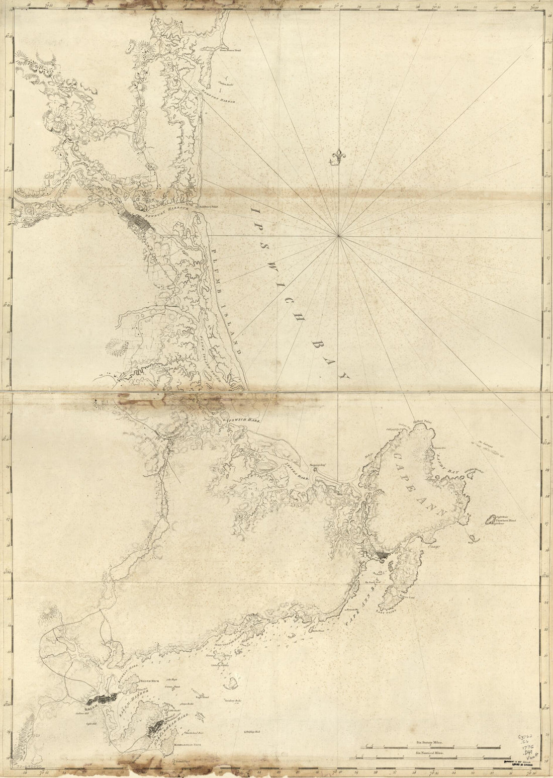 Coast of New Hampshire and Massachusetts From Great Boars Head to Marblehead Harbor in 1781Coast of New Hampshire and Massachusetts From Great Boars Head to Marblehead Harbor in 1781
- Regular price
-
$43.95 $127.95 - Regular price
-
$32.95 - Sale price
-
$43.95 $127.95
-
 Cedar Keys, Florida in 1861Cedar Keys, Florida in 1861
- Regular price
-
$43.95 $88.95 - Regular price
-
$32.95 - Sale price
-
$43.95 $88.95
-
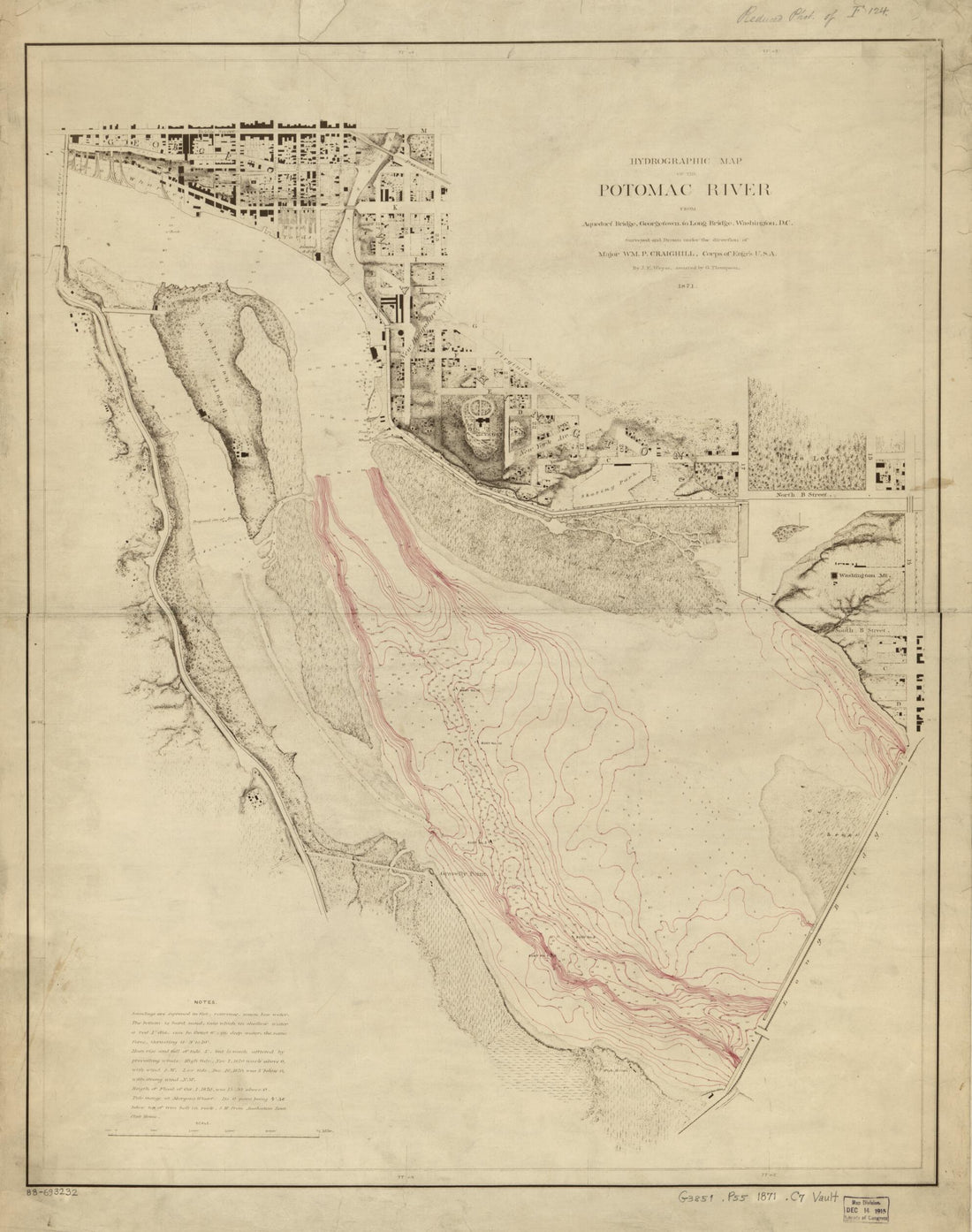 Hydrographic Map of the Potomac River From Aqueduct Bridge, Georgetown, to Long Bridge, Washington, D.C in 1871Hydrographic Map of the Potomac River From Aqueduct Bridge, Georgetown, to Long Bridge, Washington, D.C in 1871
- Regular price
-
$39.95 $83.95 - Regular price
-
$34.95 - Sale price
-
$39.95 $83.95


