455 products
-
 Chart of the Straits of Gaspar, Straits of Banca, and Adjacent Areas of the China and Java Seas 1820Chart of the Straits of Gaspar, Straits of Banca, and Adjacent Areas of the China and Java Seas 1820
- Regular price
-
$46.95 $106.95 - Regular price
-
$41.95 - Sale price
-
$46.95 $106.95
-
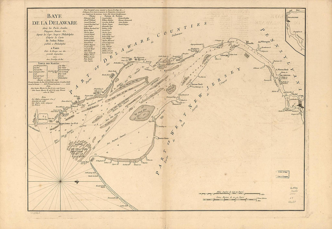 Baye De La Delaware Avec Les Ports, Sondes, Dangers, Bancs, &c. Depuis Les Caps Jusqu'à Philadelphie 1777Baye De La Delaware Avec Les Ports, Sondes, Dangers, Bancs, &c. Depuis Les Caps Jusqu'à Philadelphie 1777
- Regular price
-
$46.95 $142.95 - Regular price
-
$41.95 - Sale price
-
$46.95 $142.95
-
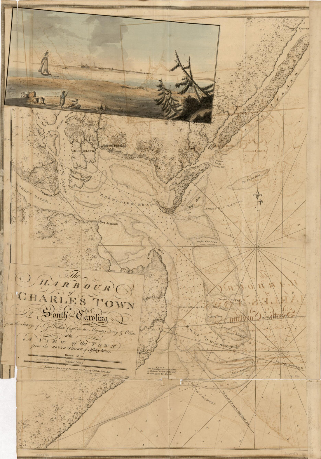 The Atlantic Neptune, Published for the Use of the Royal Navy of Great Britain 1800The Atlantic Neptune, Published for the Use of the Royal Navy of Great Britain 1800
- Regular price
-
$46.95 $99.95 - Regular price
-
$41.95 - Sale price
-
$46.95 $99.95
-
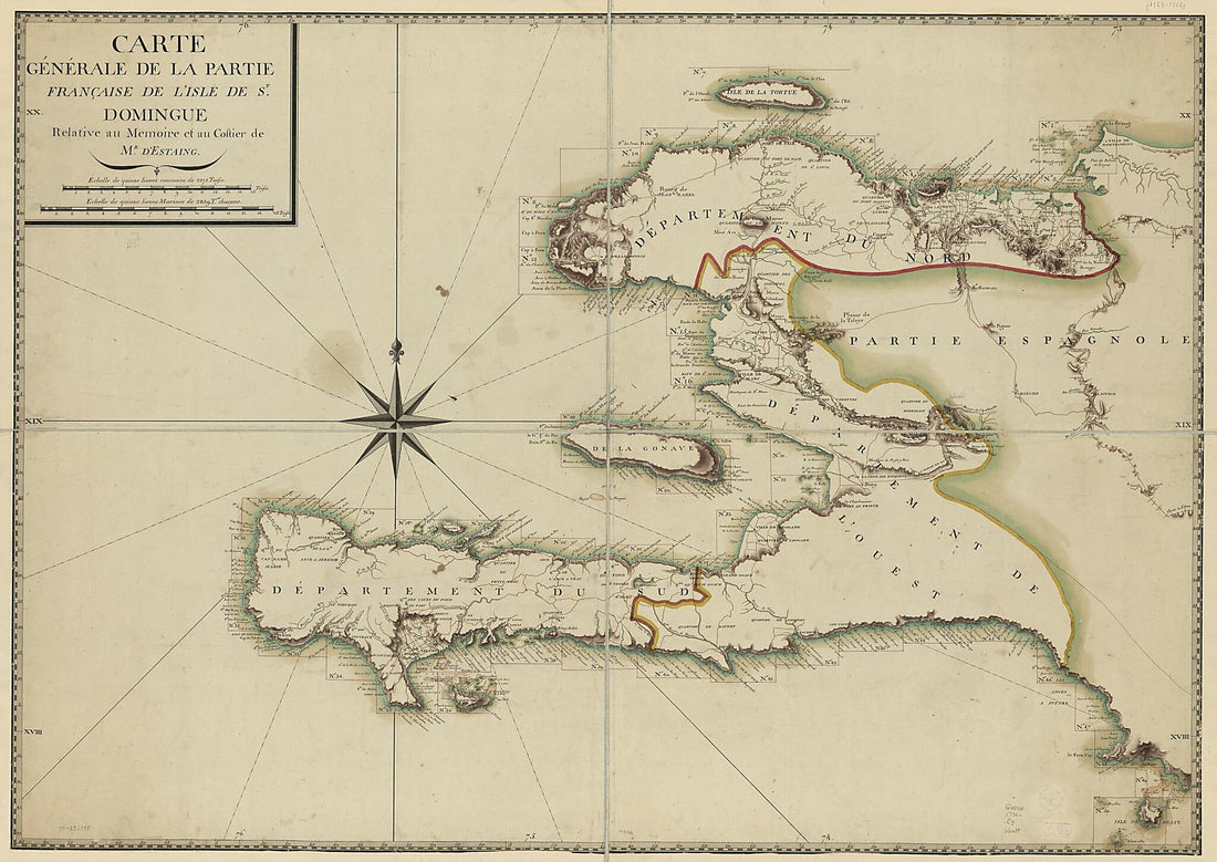 Carte Générale De La Partie Française De L'isle De St. Domingue in 1776Carte Générale De La Partie Française De L'isle De St. Domingue in 1776
- Regular price
-
$46.95 $171.95 - Regular price
-
$41.95 - Sale price
-
$46.95 $171.95
-
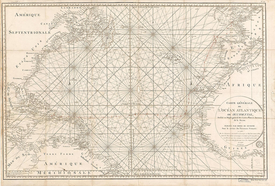 Carte Générale De L'Océan Atlantique Ou Occidental 1792Carte Générale De L'Océan Atlantique Ou Occidental 1792
- Regular price
-
$46.95 $216.95 - Regular price
-
$41.95 - Sale price
-
$46.95 $216.95
-
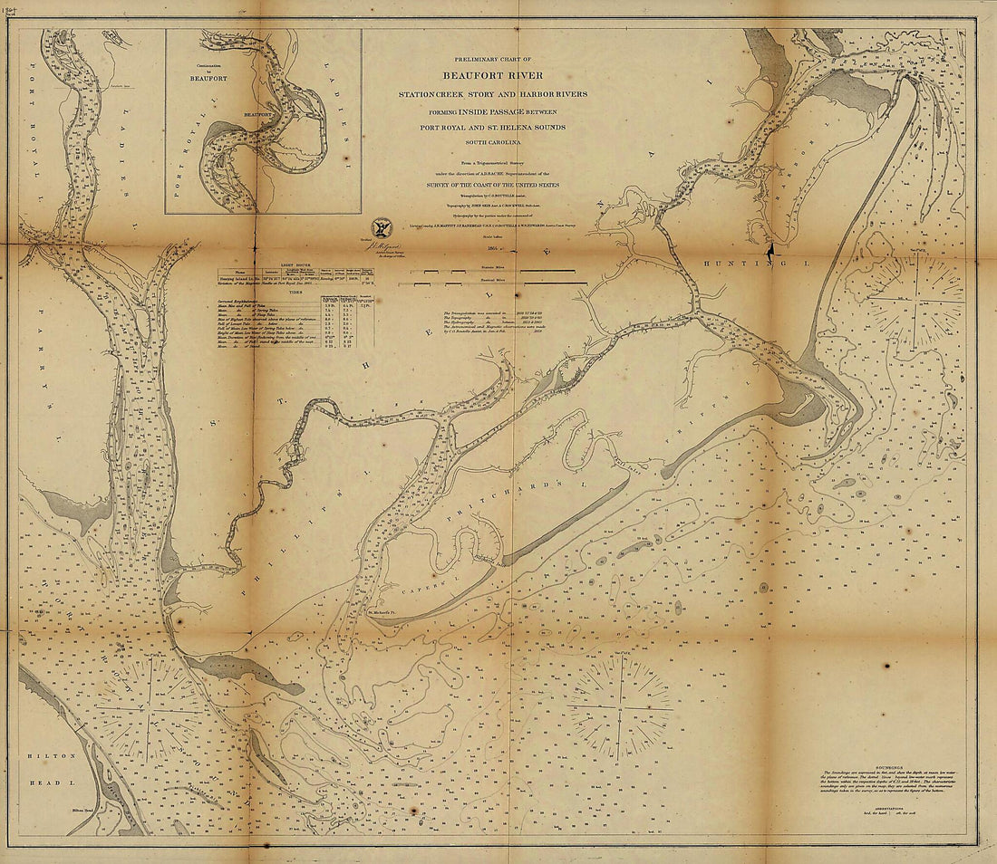 Preliminary Chart of Beaufort River, Station Creek, Story and Harbor Rivers Forming Inside Passage Between Port Royal and St. Helena Sounds, South Carolina 1864Preliminary Chart of Beaufort River, Station Creek, Story and Harbor Rivers Forming Inside Passage Between Port Royal and St. Helena Sounds, South Carolina 1864
- Regular price
-
$39.95 $164.95 - Regular price
-
$34.95 - Sale price
-
$39.95 $164.95
-
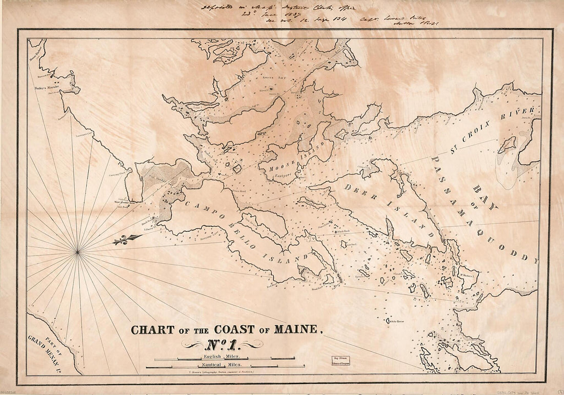 Chart of the Coast of Maine 1837Chart of the Coast of Maine 1837
- Regular price
-
$46.95 $163.95 - Regular price
-
$41.95 - Sale price
-
$46.95 $163.95
-
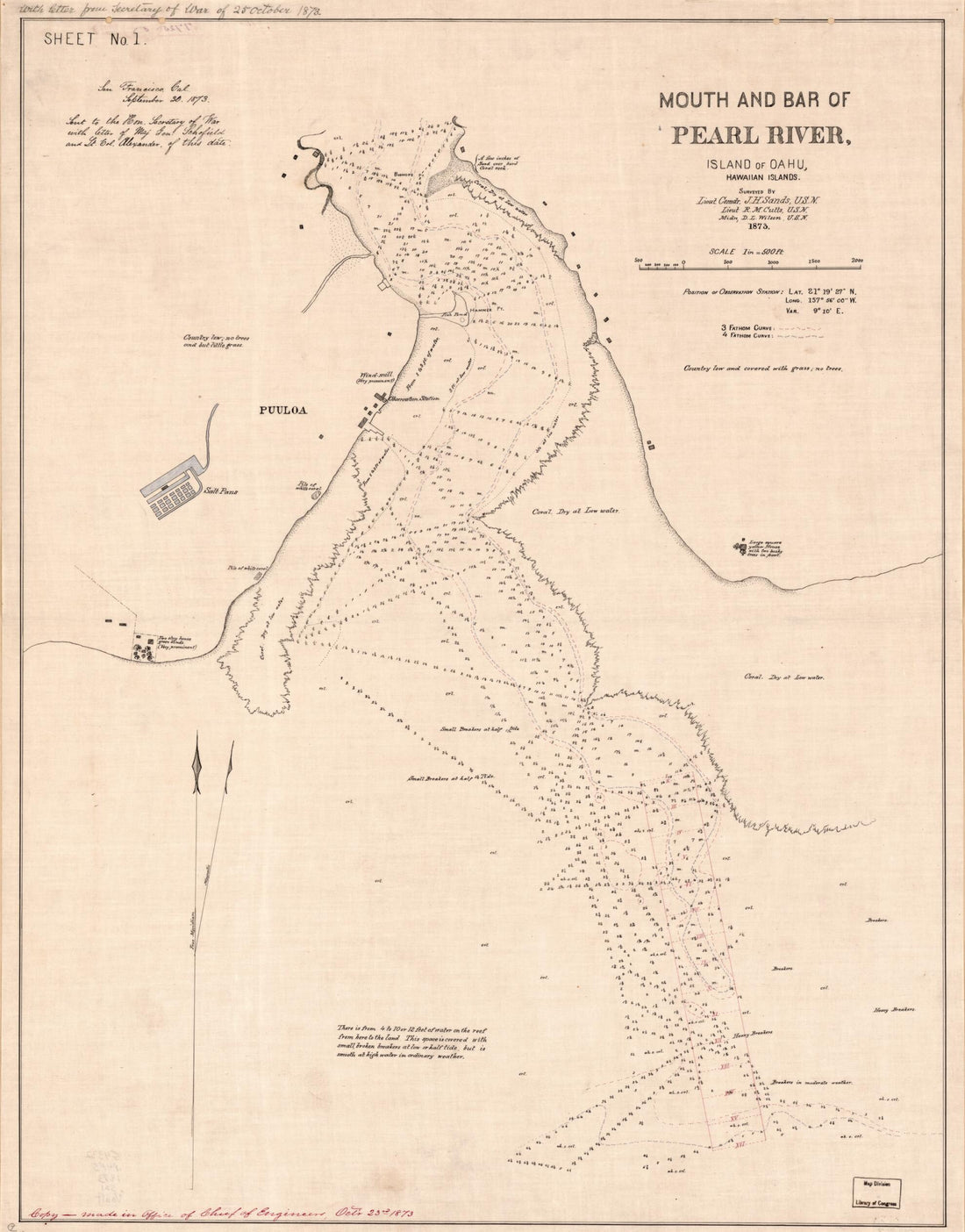 Mouth and Bar of Pearl River, Island of Oahu, Hawaiian Islands 1873Mouth and Bar of Pearl River, Island of Oahu, Hawaiian Islands 1873
- Regular price
-
$39.95 $83.95 - Regular price
-
$34.95 - Sale price
-
$39.95 $83.95
-
 Sonds, Sables Et Les Gissements Des Marques Les Plus Considérables Du Pays, Depuis Les Caps James Et May Jusqu'à Philadelphie, Suivant La Carte Originale 1778Sonds, Sables Et Les Gissements Des Marques Les Plus Considérables Du Pays, Depuis Les Caps James Et May Jusqu'à Philadelphie, Suivant La Carte Originale 1778
- Regular price
-
$43.95 $98.95 - Regular price
-
$32.95 - Sale price
-
$43.95 $98.95
-
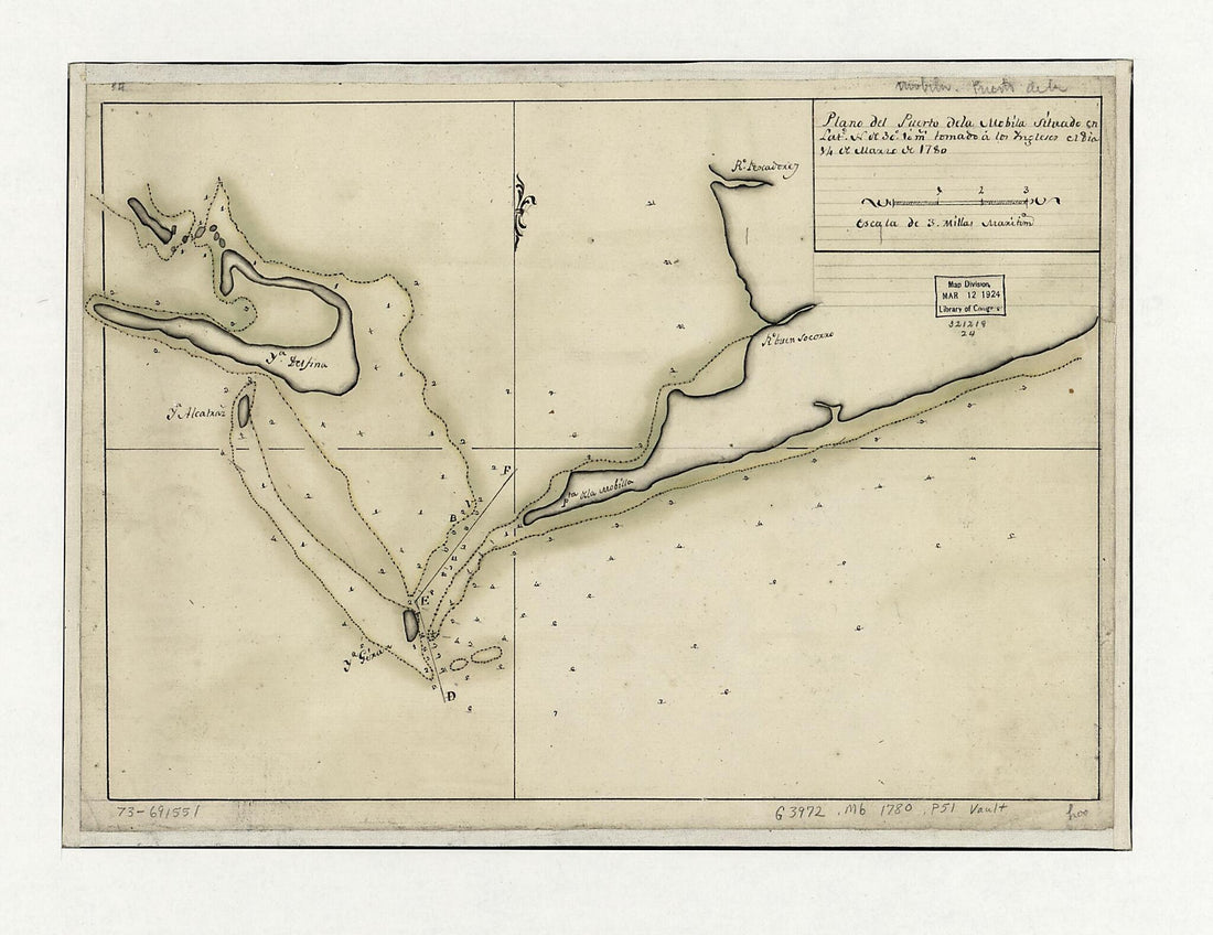 Plano Del Puerto De La Mobila Situado En Latd. No. De 30⁰ 10ʹ M. Tomado á Los Ingleses El Dia 14 De Marzo De 1780Plano Del Puerto De La Mobila Situado En Latd. No. De 30⁰ 10ʹ M. Tomado á Los Ingleses El Dia 14 De Marzo De 1780
- Regular price
-
$39.95 $88.95 - Regular price
-
$29.95 - Sale price
-
$39.95 $88.95
-
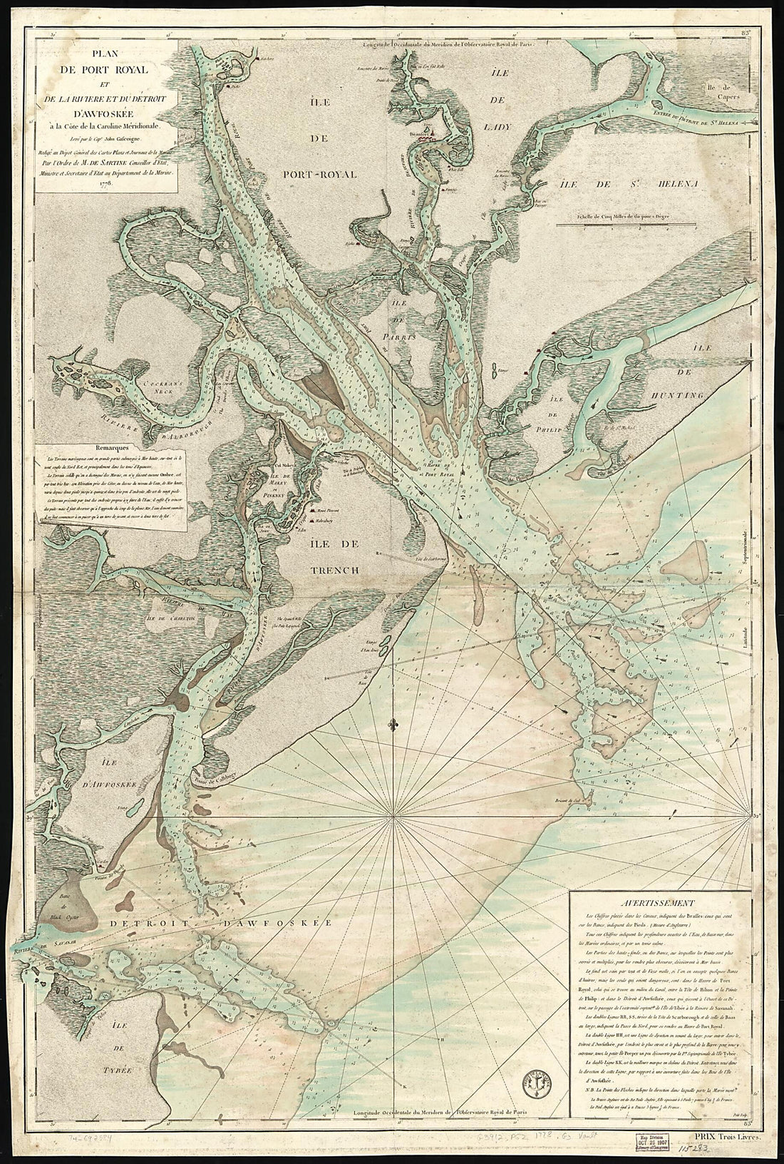 Plan De Port Royal Et De La Rivière Et Du Détroit D'Awfoskée à La Côte De La Caroline Méridionale 1778Plan De Port Royal Et De La Rivière Et Du Détroit D'Awfoskée à La Côte De La Caroline Méridionale 1778
- Regular price
-
$46.95 $199.95 - Regular price
-
$41.95 - Sale price
-
$46.95 $199.95
-
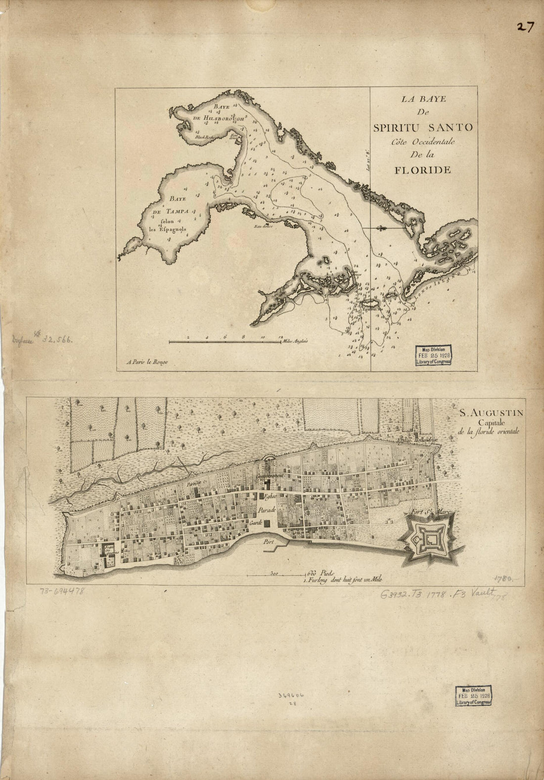 La Baye De Spiritu Santo, Côte Occidentale De La Floride. S. Augustin, Capitale De La Floride Orientale 1778La Baye De Spiritu Santo, Côte Occidentale De La Floride. S. Augustin, Capitale De La Floride Orientale 1778
- Regular price
-
$39.95 $99.95 - Regular price
-
$34.95 - Sale price
-
$39.95 $99.95


