455 products
-
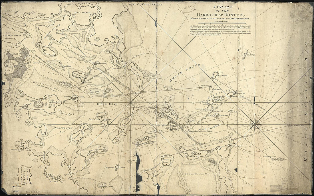 Marks, and Other Directions 1777Marks, and Other Directions 1777
- Regular price
-
$46.95 $164.95 - Regular price
-
$41.95 - Sale price
-
$46.95 $164.95
-
 A New Chart of Nantucket Shoals & George's Bank With the Adjacent Coast 1813A New Chart of Nantucket Shoals & George's Bank With the Adjacent Coast 1813
- Regular price
-
$46.95 $175.95 - Regular price
-
$41.95 - Sale price
-
$46.95 $175.95
-
 St. Mary's River and Fernandina Harbor, Florida 1862St. Mary's River and Fernandina Harbor, Florida 1862
- Regular price
-
$39.95 $198.95 - Regular price
-
$34.95 - Sale price
-
$39.95 $198.95
-
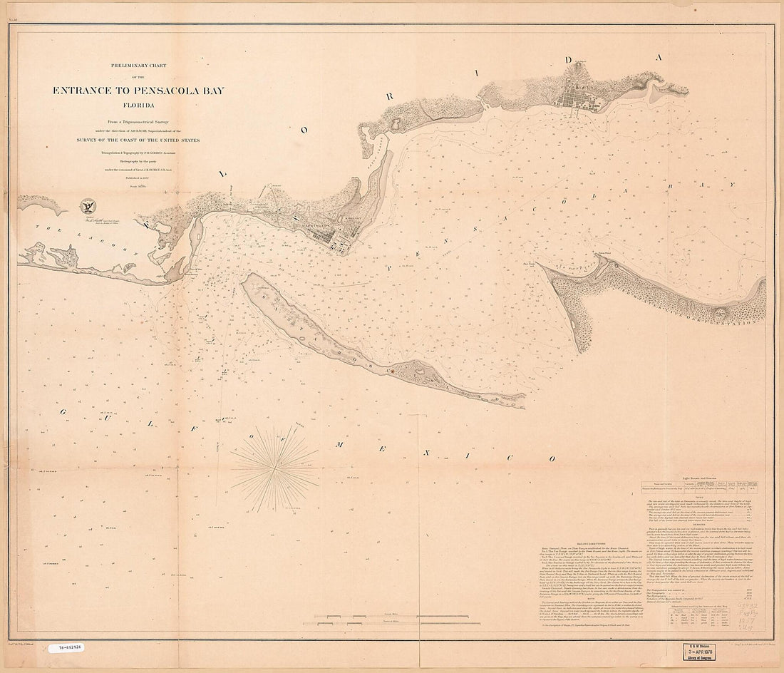 Preliminary Chart of the Entrance to Pensacola Bay, Florida 1857Preliminary Chart of the Entrance to Pensacola Bay, Florida 1857
- Regular price
-
$39.95 $205.95 - Regular price
-
$34.95 - Sale price
-
$39.95 $205.95
-
 Plano De Philadelphia 1756Plano De Philadelphia 1756
- Regular price
-
$43.95 $141.95 - Regular price
-
$32.95 - Sale price
-
$43.95 $141.95
-
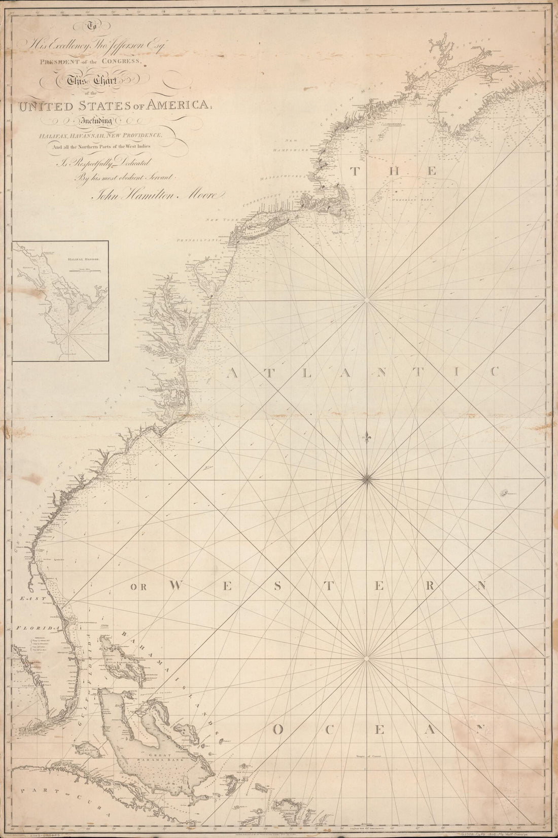 To His Excellency Thos. Jefferson, Esqr., President of the Congress, This Chart of the United States of America : Including Halifax, Havannah Havana, New Providence, and All the Northern Parts of the West Indies 1805To His Excellency Thos. Jefferson, Esqr., President of the Congress, This Chart of the United States of America : Including Halifax, Havannah Havana, New Providence, and All the Northern Parts of the West Indies 1805
- Regular price
-
$46.95 $159.95 - Regular price
-
$41.95 - Sale price
-
$46.95 $159.95
-
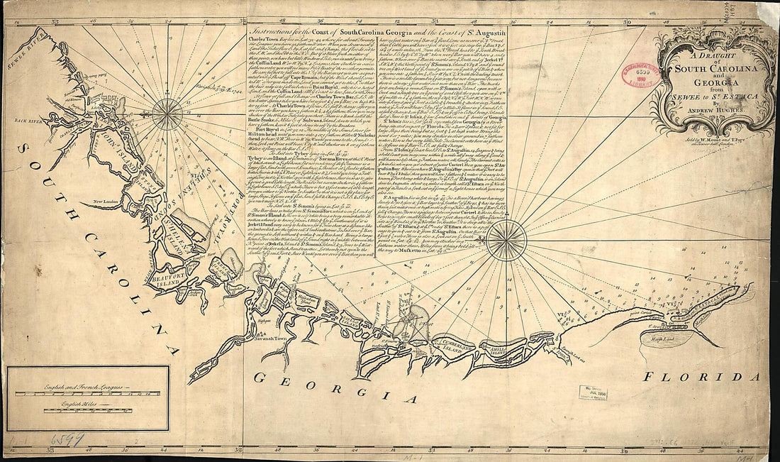 A Draught of South Carolina and Georgia from Sewee to St. Estaca 1778A Draught of South Carolina and Georgia from Sewee to St. Estaca 1778
- Regular price
-
$46.95 $149.95 - Regular price
-
$41.95 - Sale price
-
$46.95 $149.95
-
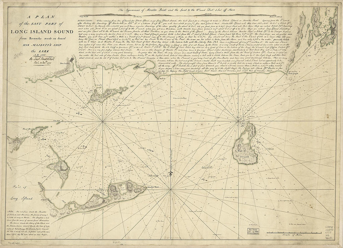 A Plan of the East Part of Long Island Sound from Remarks Made On Board His Majesty's Ship the Lark, A.D. 1777A Plan of the East Part of Long Island Sound from Remarks Made On Board His Majesty's Ship the Lark, A.D. 1777
- Regular price
-
$43.95 $153.95 - Regular price
-
$32.95 - Sale price
-
$43.95 $153.95
-
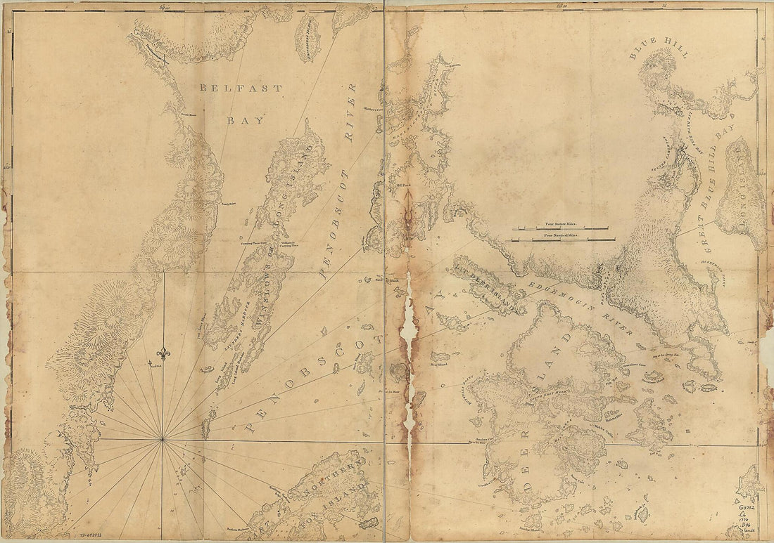 Coast of Maine Showing Blue Hill Bay, Penobscot Bay, Belfast Bay, Islesboro Island, Deer Island, and Other Islands 1776Coast of Maine Showing Blue Hill Bay, Penobscot Bay, Belfast Bay, Islesboro Island, Deer Island, and Other Islands 1776
- Regular price
-
$46.95 $130.95 - Regular price
-
$41.95 - Sale price
-
$46.95 $130.95
-
 York Et De La Nouvelle Angleterre, Celles De L'Acadie Ou Nouvelle Ecosse, De I'Île Royale De I'Île St. Jean, Avec L'interieur Du Pays 1780York Et De La Nouvelle Angleterre, Celles De L'Acadie Ou Nouvelle Ecosse, De I'Île Royale De I'Île St. Jean, Avec L'interieur Du Pays 1780
- Regular price
-
$46.95 $99.95 - Regular price
-
$41.95 - Sale price
-
$46.95 $99.95
-
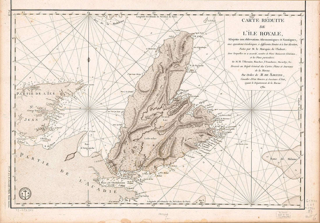 Carte Réduite De L'Île Royale, Assujettie Aux Observations Astronomiques Et Nautiques, Aux Operations Géodésiques, à Différentes Routes Et à Leur Direction 1778Carte Réduite De L'Île Royale, Assujettie Aux Observations Astronomiques Et Nautiques, Aux Operations Géodésiques, à Différentes Routes Et à Leur Direction 1778
- Regular price
-
$46.95 $102.95 - Regular price
-
$41.95 - Sale price
-
$46.95 $102.95
-
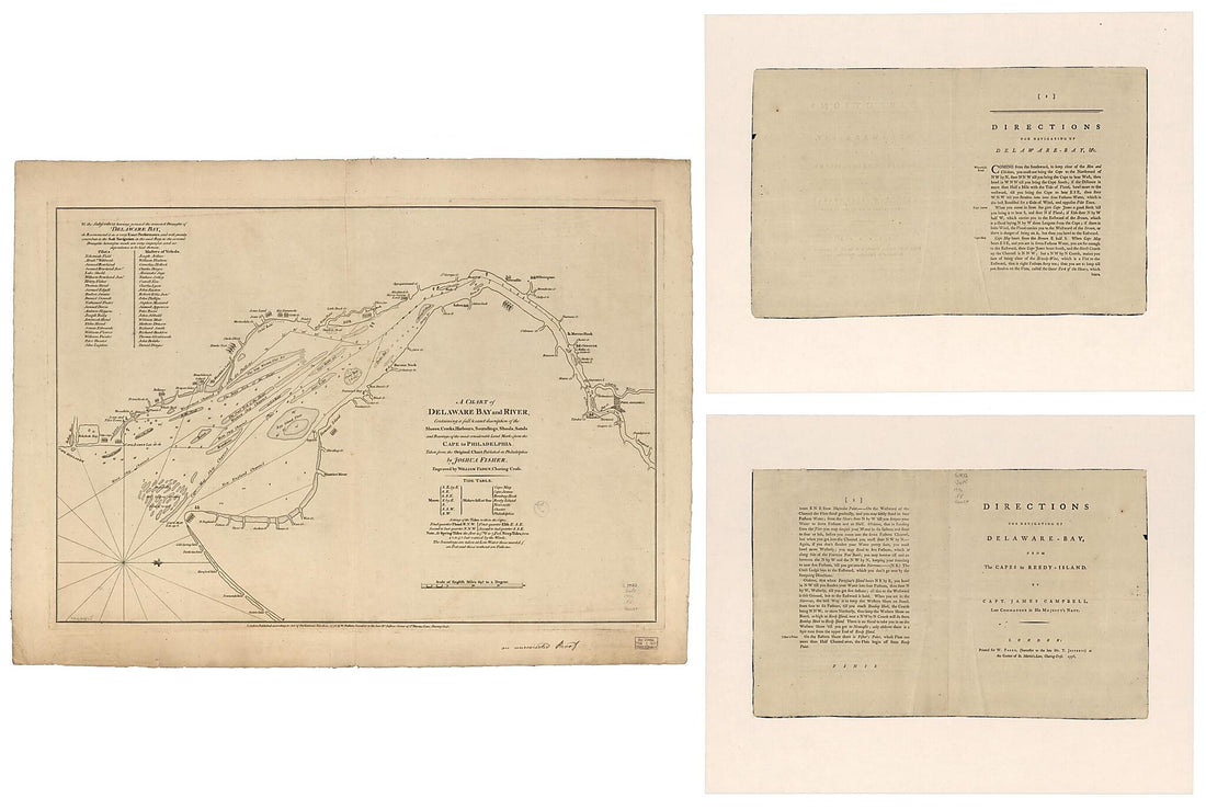 A Chart of Delaware Bay and River, Containing a Full & Exact Description of the Shores, Creeks, Harbours, Soundings, Shoals, Sands, and Bearings of the Most Considerable Land Marks, from the Cape to Philadelphia 1776A Chart of Delaware Bay and River, Containing a Full & Exact Description of the Shores, Creeks, Harbours, Soundings, Shoals, Sands, and Bearings of the Most Considerable Land Marks, from the Cape to Philadelphia 1776
- Regular price
-
$46.95 $326.95 - Regular price
-
$41.95 - Sale price
-
$46.95 $326.95


