767 products
-
Map of the All American Route Showing Proposed Railroad and U.S. Government Mail Road to the Yukon; Issued by Central Alaska Transportation & Trading Co.; Compiled by B. F. Millard and Emil Mahlo, Topographical Engineer, U.S. Alaska Exploration Expedi...
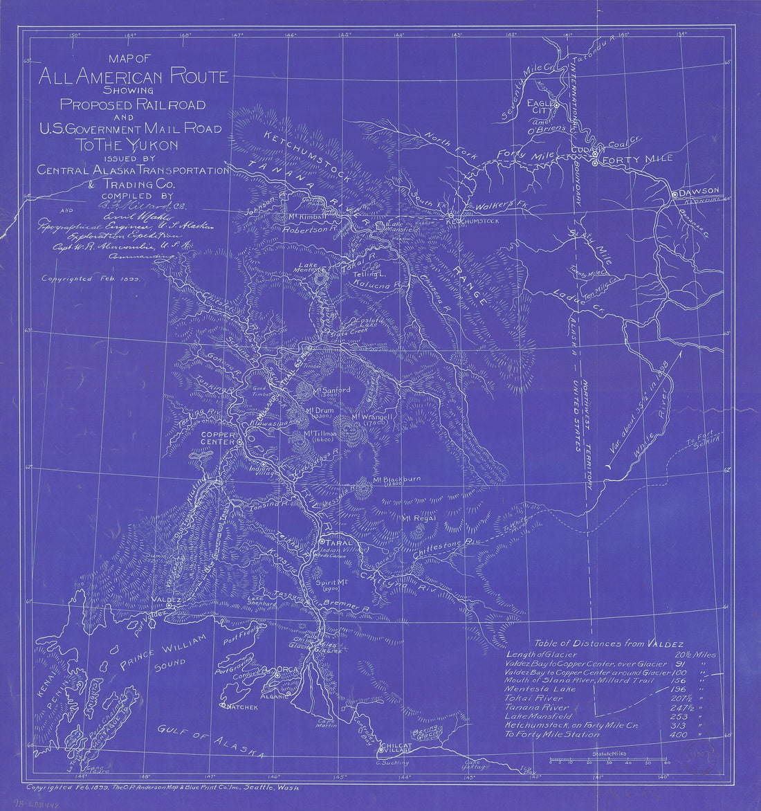 Map of the All American Route Showing Proposed Railroad and U.S. Government Mail Road to the Yukon; Issued by Central Alaska Transportation & Trading Co.; Compiled by B. F. Millard and Emil Mahlo, Topographical Engineer, U.S. Alaska Exploration Expedi...
- Regular price
-
From
$34.95 - Regular price
-
$49.99 - Sale price
-
From
$34.95
-
Rail Road Map of Ohio 1873
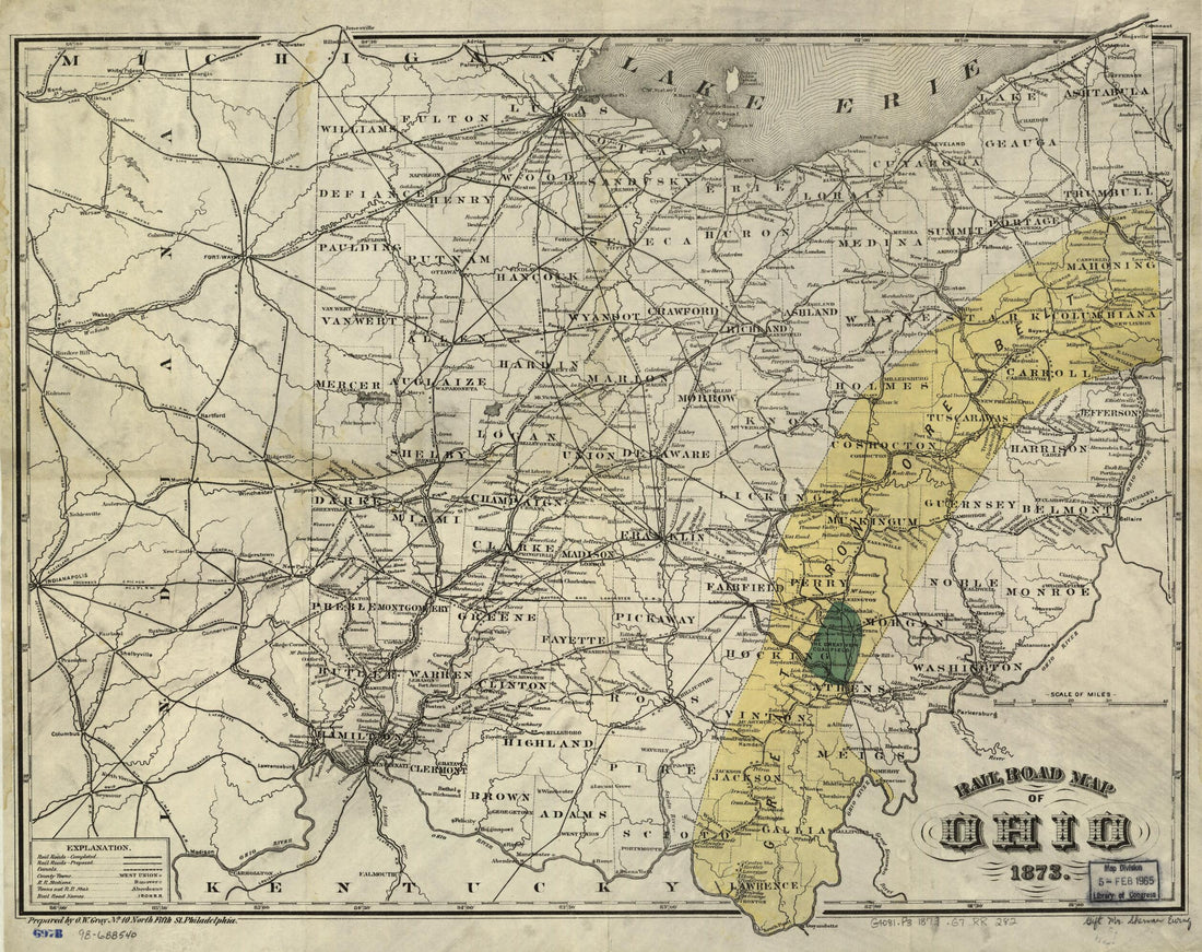 Rail Road Map of Ohio 1873
- Regular price
-
From
$34.95 - Regular price
-
$49.99 - Sale price
-
From
$34.95
-
Lloyd's American Railroad Map in 1861
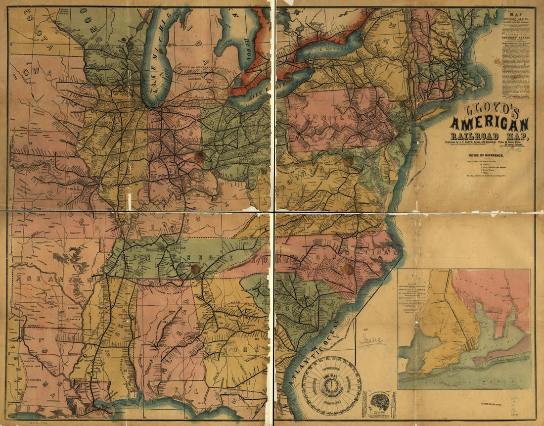 Lloyd's American Railroad Map in 1861
- Regular price
-
From
$34.95 - Regular price
-
$49.99 - Sale price
-
From
$34.95
-
Unis D'Amérique 1836
 Unis D'Amérique 1836
- Regular price
-
From
$22.95 - Regular price
-
$34.95 - Sale price
-
From
$22.95
-
Map of New Jersey and Pennsylvania Exhibiting the Post Offices, Post Roads, Canals, Rail Roads, &c in 1839
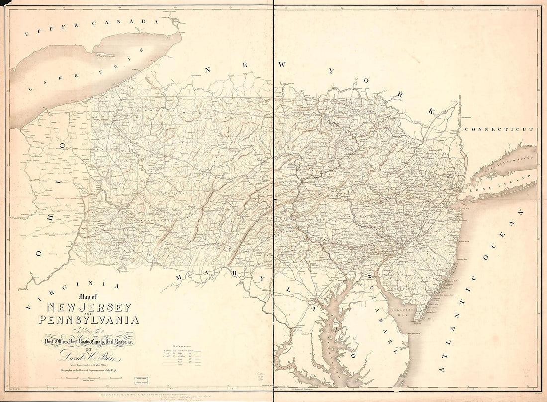 Map of New Jersey and Pennsylvania Exhibiting the Post Offices, Post Roads, Canals, Rail Roads, &c in 1839
- Regular price
-
From
$32.95 - Regular price
-
$51.99 - Sale price
-
From
$32.95
-
Lloyd's New Map of the United States, the Canadas and New Brunswick, from the Latest Surveys, Showing Every Railroad & Station Finished to June 1863, and the Atlantic and Gulf Coasts from the United States Superintendant's Official Reports of the Coas...
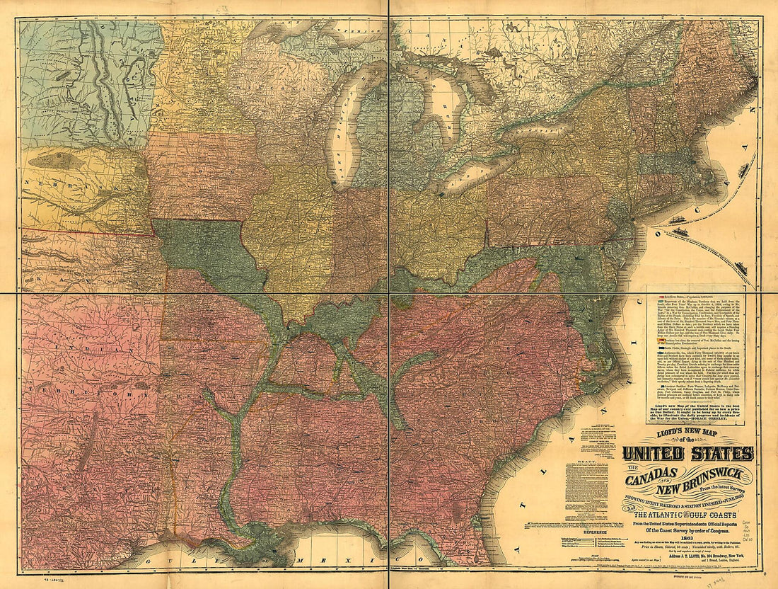 Lloyd's New Map of the United States, the Canadas and New Brunswick, from the Latest Surveys, Showing Every Railroad & Station Finished to June 1863, and the Atlantic and Gulf Coasts from the United States Superintendant's Official Reports of the Coas...
- Regular price
-
From
$32.95 - Regular price
-
$51.99 - Sale price
-
From
$32.95
-
Plan and Profile of the Androscoggin & Kennebec Railroad in 1849
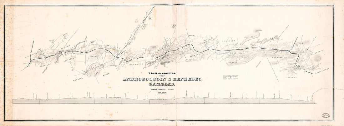 Plan and Profile of the Androscoggin & Kennebec Railroad in 1849
- Regular price
-
From
$41.95 - Regular price
-
$66.99 - Sale price
-
From
$41.95
-
Map of the Catawissa, Williamsport & Erie Rail Road; Showing Its Connection With the North and West by the Williamsport and Elmira Rail Road, & Its Connection With Philada. & New York by the Reading & Lehigh Valley R. Rd 1856
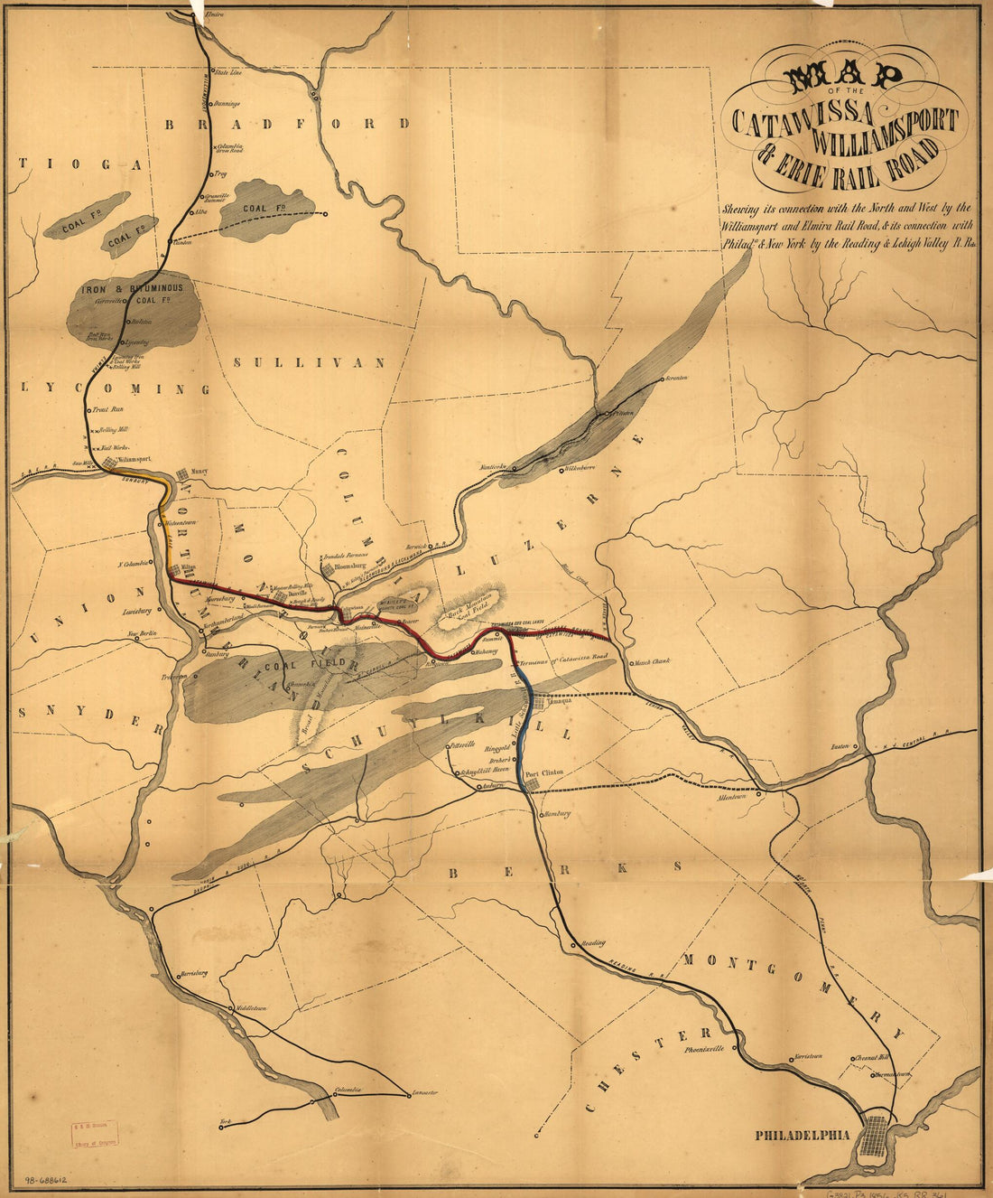 Map of the Catawissa, Williamsport & Erie Rail Road; Showing Its Connection With the North and West by the Williamsport and Elmira Rail Road, & Its Connection With Philada. & New York by the Reading & Lehigh Valley R. Rd 1856
- Regular price
-
From
$34.95 - Regular price
-
$49.99 - Sale price
-
From
$34.95
-
Sketch Map of the Phila. and Readg. Rail Road and Its Branches, May, in 1873
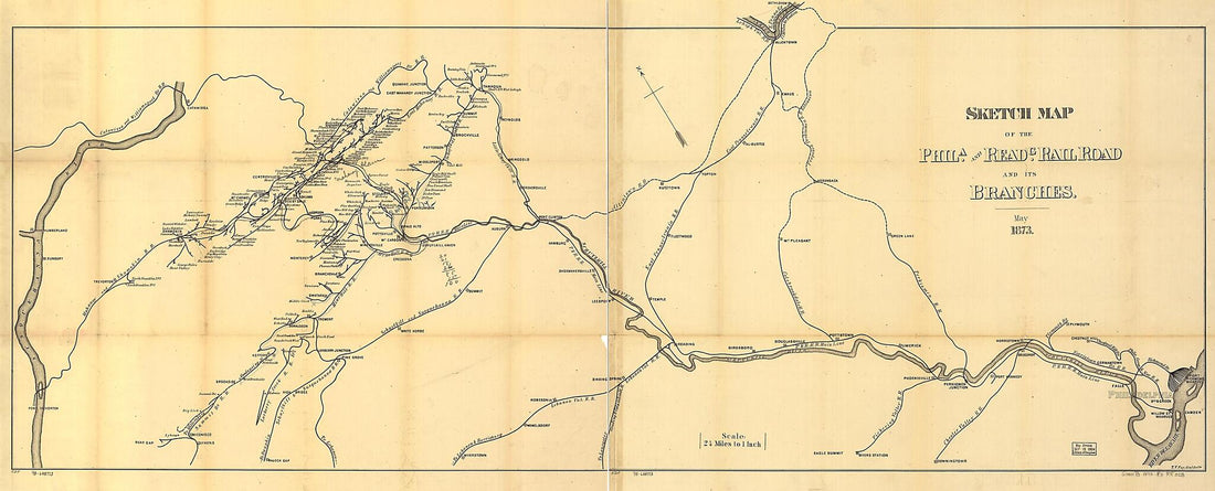 Sketch Map of the Phila. and Readg. Rail Road and Its Branches, May, in 1873
- Regular price
-
From
$41.95 - Regular price
-
$66.99 - Sale price
-
From
$41.95
-
Road Road Route from Boston, Massachusetts to Chicago, Illinois 1859
 Road Road Route from Boston, Massachusetts to Chicago, Illinois 1859
- Regular price
-
From
$19.95 - Regular price
-
$29.95 - Sale price
-
From
$19.95
-
Map of the Cincinnati, Virginia, & Carolina Railway and Its Connection 1881
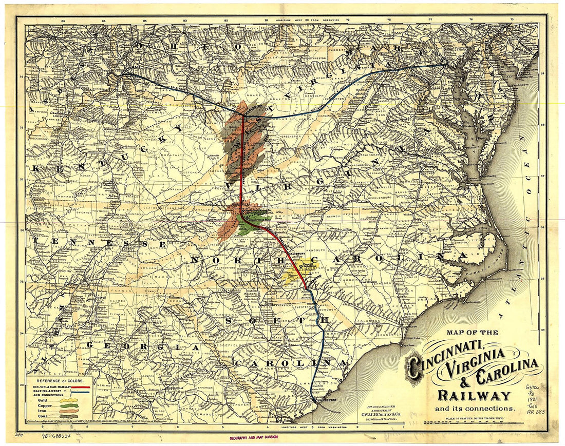 Map of the Cincinnati, Virginia, & Carolina Railway and Its Connection 1881
- Regular price
-
From
$34.95 - Regular price
-
$49.99 - Sale price
-
From
$34.95
-
Map Showing the Atchison, Topeka & Santa Fé Rail Road and Its Auxiliary Roads In the State of Kansas 1886
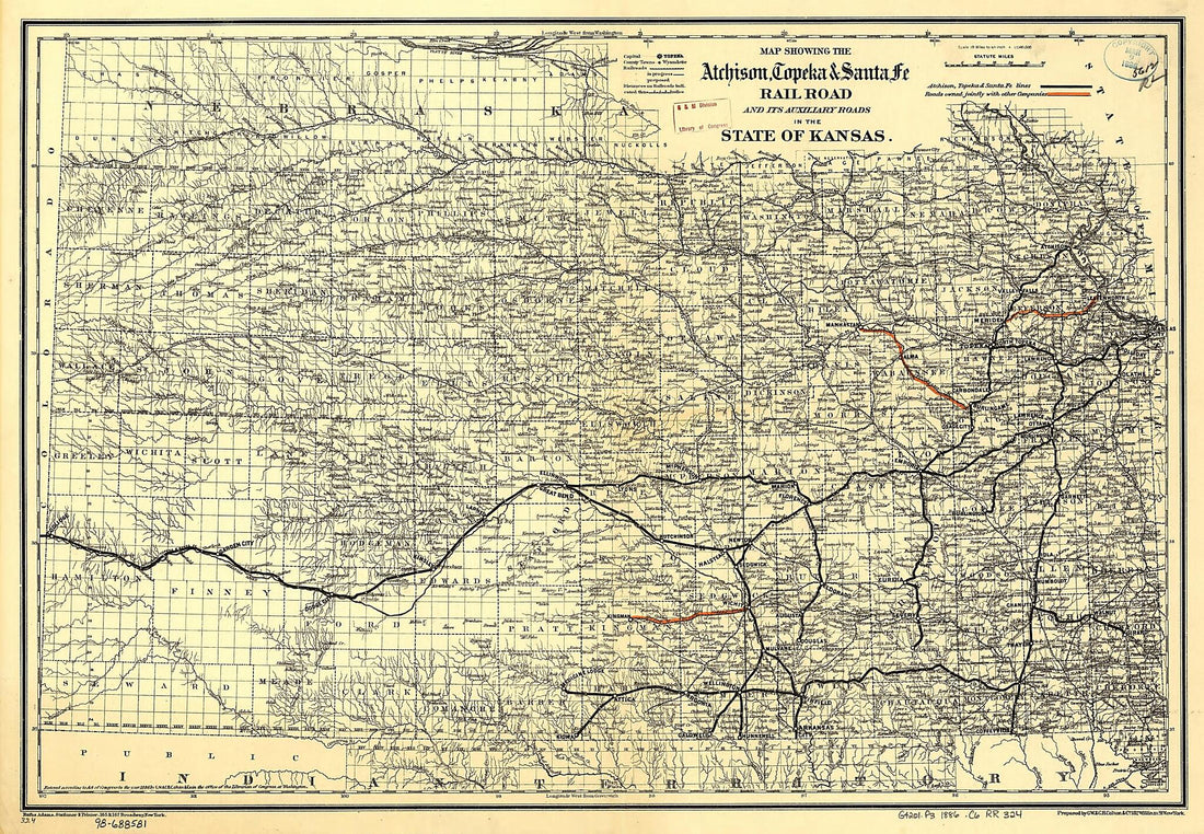 Map Showing the Atchison, Topeka & Santa Fé Rail Road and Its Auxiliary Roads In the State of Kansas 1886
- Regular price
-
From
$41.95 - Regular price
-
$64.95 - Sale price
-
From
$41.95


