949 products
-
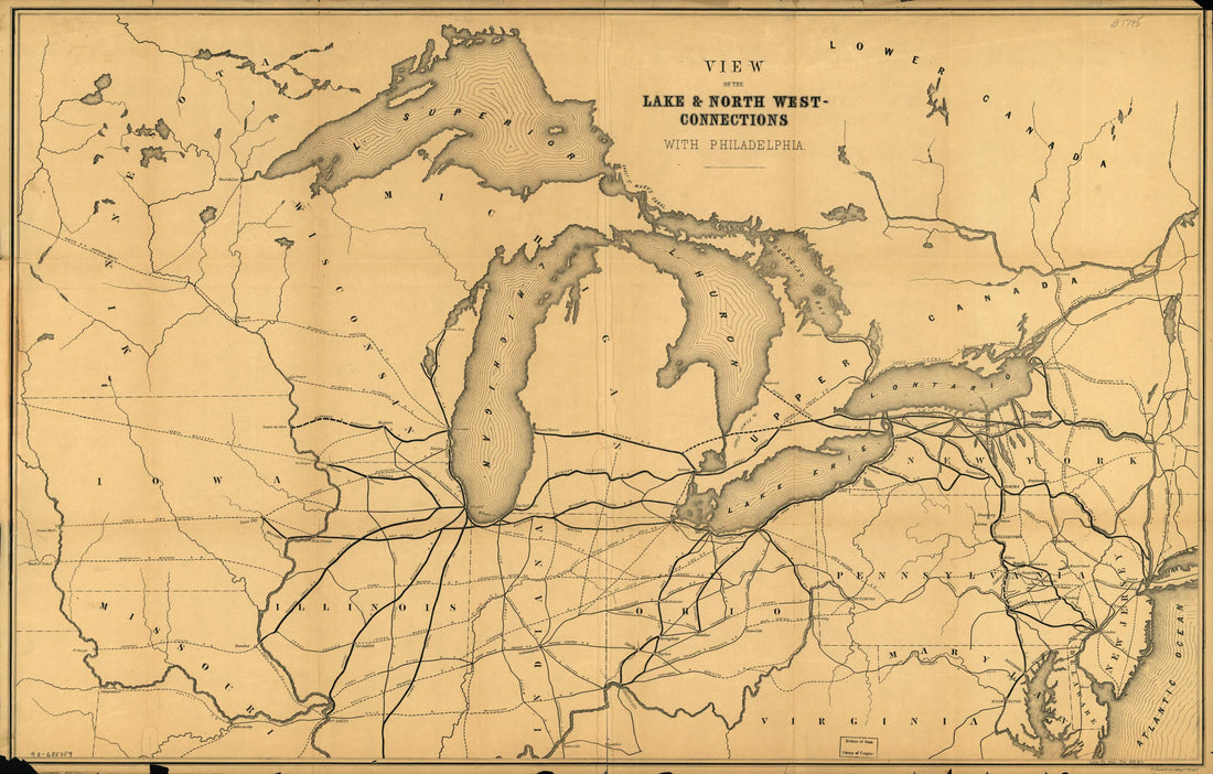 Connections With Philadelphia 1856Connections With Philadelphia 1856
- Regular price
-
$46.95 $99.95 - Regular price
-
$41.95 - Sale price
-
$46.95 $99.95
-
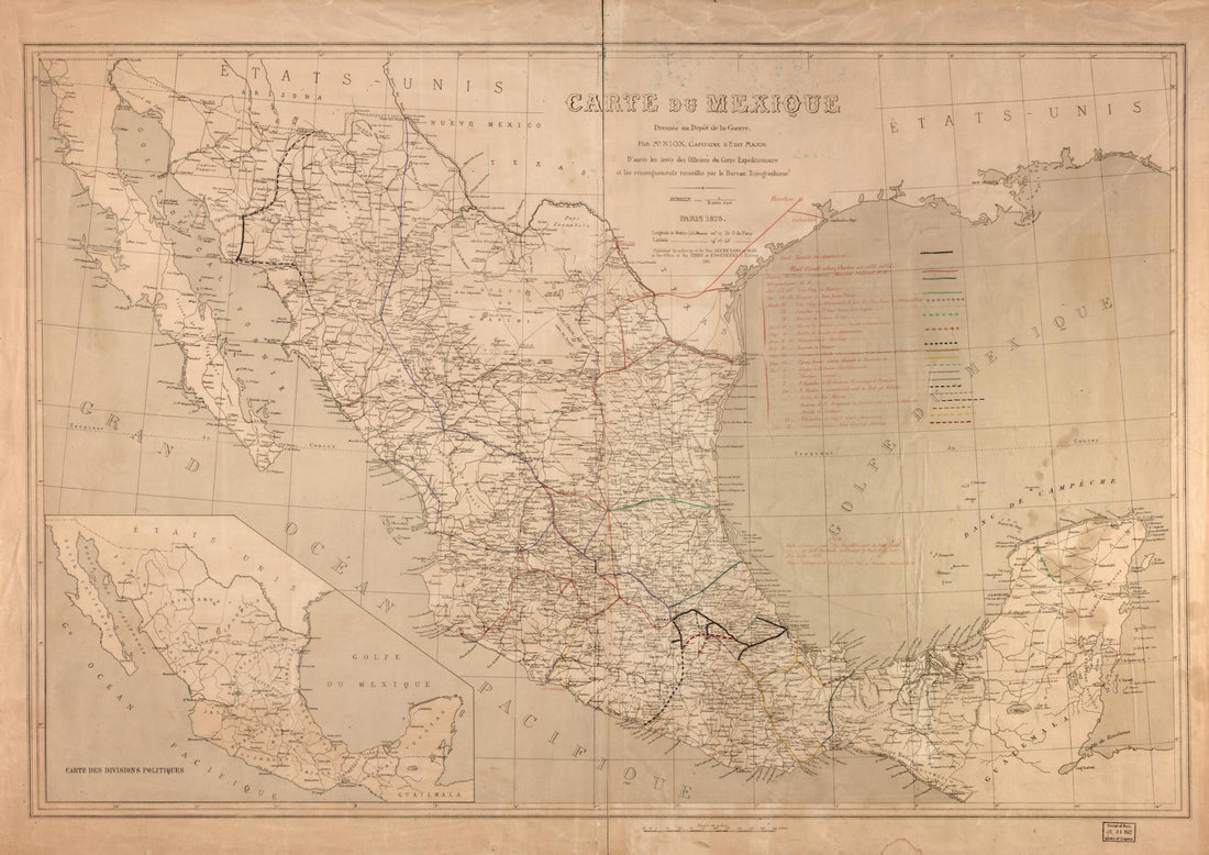 Carte Du Mexique 1881Carte Du Mexique 1881
- Regular price
-
$43.95 $135.95 - Regular price
-
$38.95 - Sale price
-
$43.95 $135.95
-
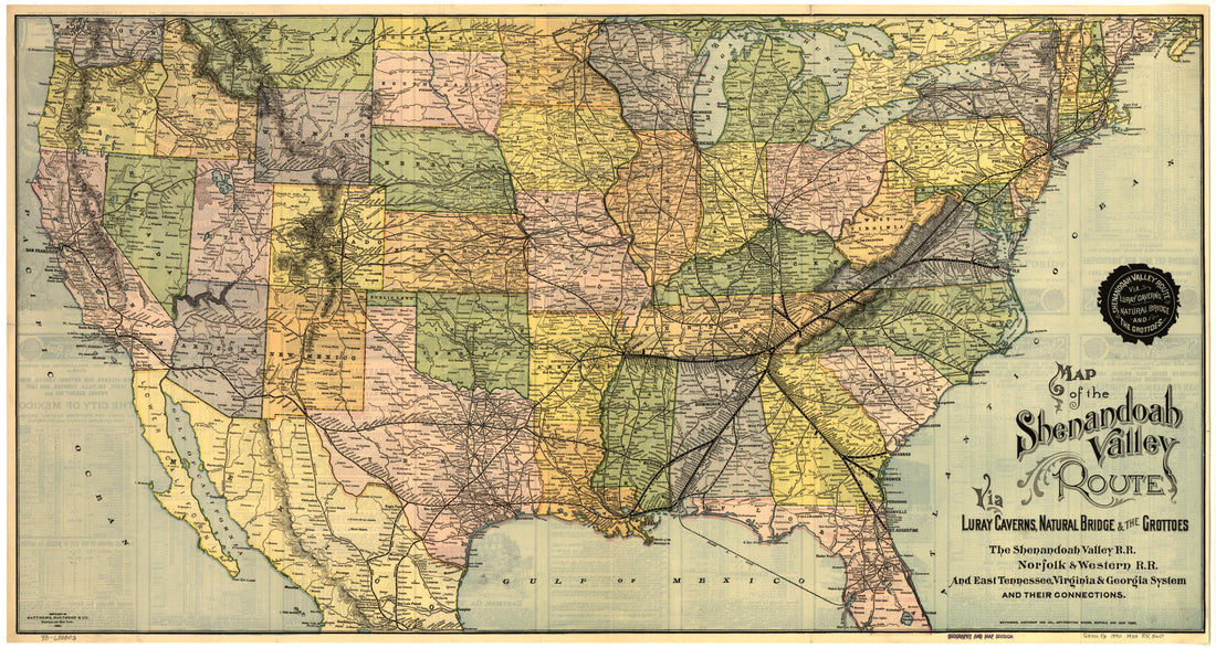 Map of the Shenandoah Valley Route Via Luray Caverns, Natural Bridge & the Grottos. the Shenandoah Valley R.R. Norfolk & Western R.R. and East Tennessee, Virginia & Georgia System and Their Connections 1890Map of the Shenandoah Valley Route Via Luray Caverns, Natural Bridge & the Grottos. the Shenandoah Valley R.R. Norfolk & Western R.R. and East Tennessee, Virginia & Georgia System and Their Connections 1890
- Regular price
-
$46.95 $99.95 - Regular price
-
$41.95 - Sale price
-
$46.95 $99.95
-
 Map of Rail Road Line Between Loveland and Cincinnati; Marietta and Cincinnati Rail Road 1860Map of Rail Road Line Between Loveland and Cincinnati; Marietta and Cincinnati Rail Road 1860
- Regular price
-
$39.95 $99.95 - Regular price
-
$34.95 - Sale price
-
$39.95 $99.95
-
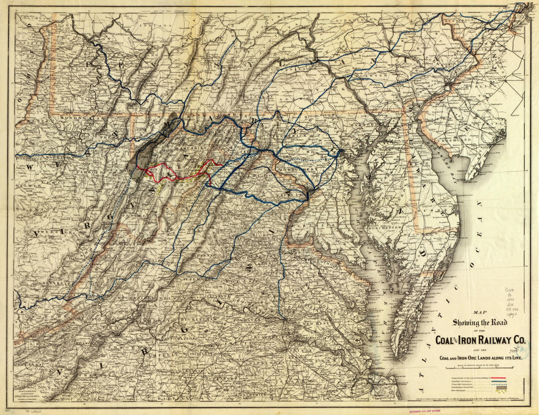 Map Showing the Road of the Coal and Iron Railway Co. and the Coal and Iron Ore Lands Along Its Line 1882Map Showing the Road of the Coal and Iron Railway Co. and the Coal and Iron Ore Lands Along Its Line 1882
- Regular price
-
$43.95 $88.95 - Regular price
-
$38.95 - Sale price
-
$43.95 $88.95
-
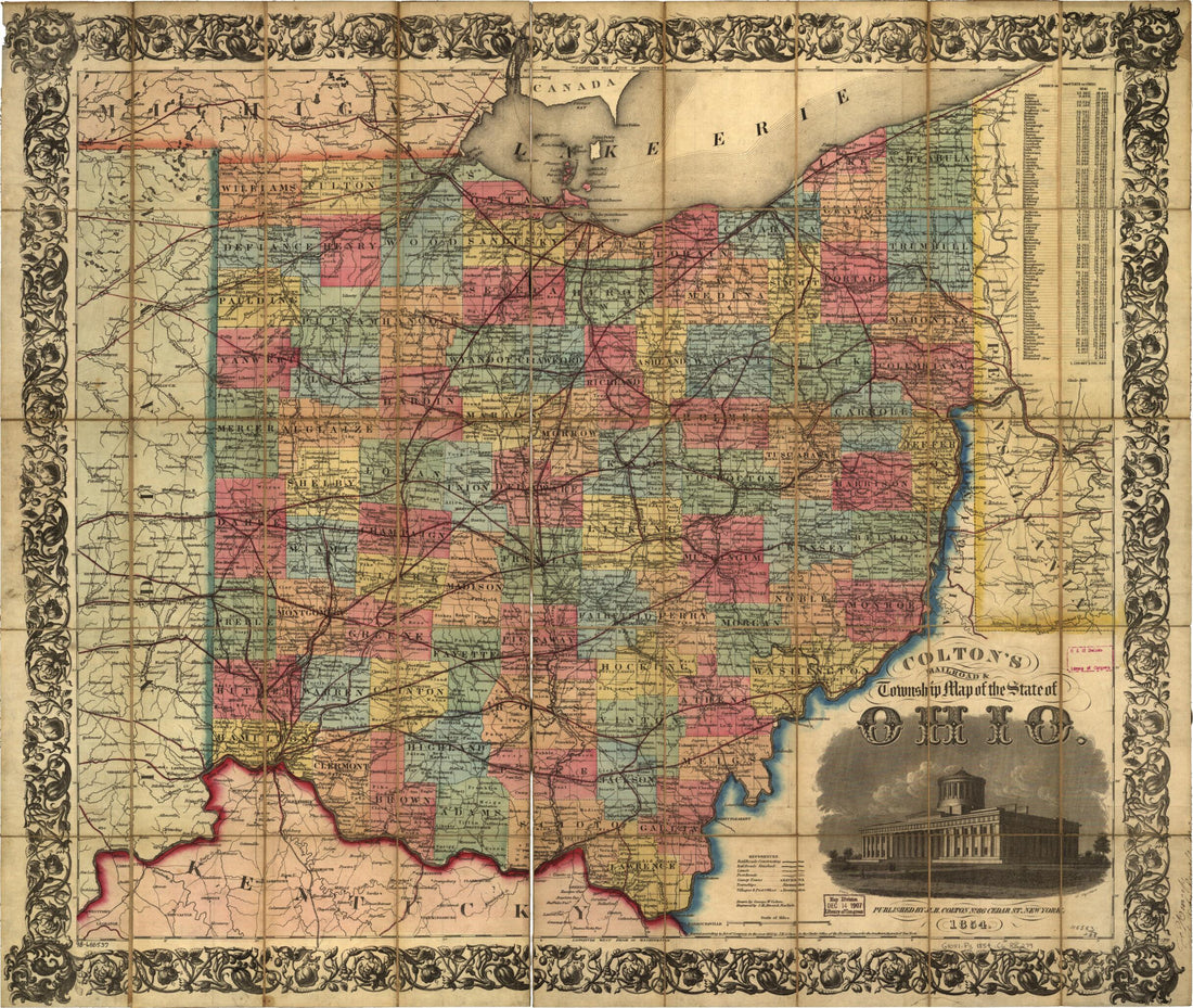 Colton's Railroad & Township Map of the State of Ohio, Drawn by George W. Colton, Engraved by J M. Atwood 1854Colton's Railroad & Township Map of the State of Ohio, Drawn by George W. Colton, Engraved by J M. Atwood 1854
- Regular price
-
$43.95 $83.95 - Regular price
-
$38.95 - Sale price
-
$43.95 $83.95
-
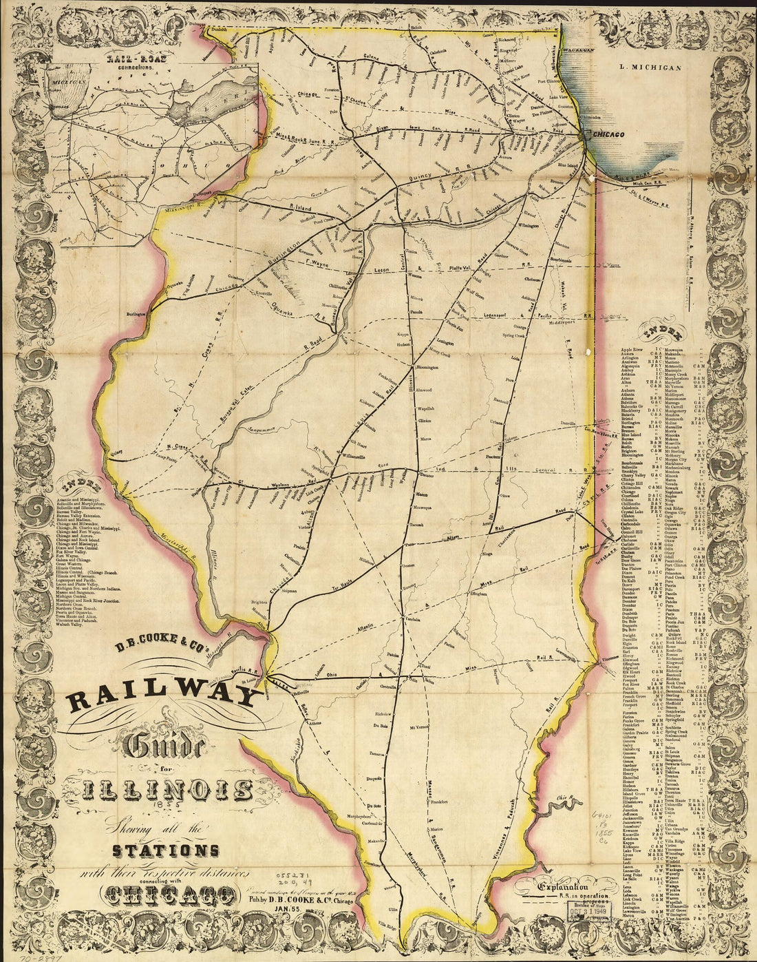 D.B. Cooke & Co's Railway Guide for Illinois Shewing All the Stations With Their Respective Distances Connecting With Chicago 1855D.B. Cooke & Co's Railway Guide for Illinois Shewing All the Stations With Their Respective Distances Connecting With Chicago 1855
- Regular price
-
$43.95 $83.95 - Regular price
-
$38.95 - Sale price
-
$43.95 $83.95
-
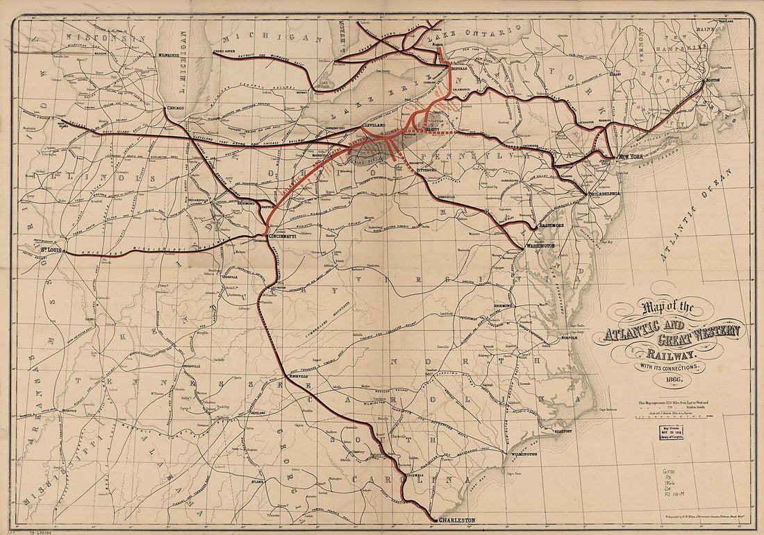 Map of the Atlantic and Great Western Railway, With Its Connections, 1866Map of the Atlantic and Great Western Railway, With Its Connections, 1866
- Regular price
-
$46.95 $174.95 - Regular price
-
$41.95 - Sale price
-
$46.95 $174.95
-
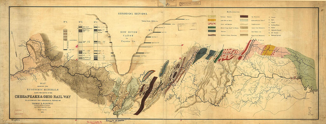 Map Showing the Economic Minerals Along the Route of the Chesapeake & Ohio Rail Way to Accompany the Geological Report of Thomas S. Ridgway 1872Map Showing the Economic Minerals Along the Route of the Chesapeake & Ohio Rail Way to Accompany the Geological Report of Thomas S. Ridgway 1872
- Regular price
-
$46.95 $151.95 - Regular price
-
$41.95 - Sale price
-
$46.95 $151.95
-
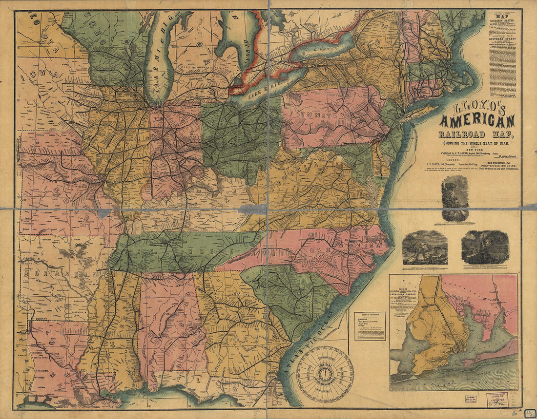 Lloyd's American Railroad Map, Showing the Whole Seat of the War 1861Lloyd's American Railroad Map, Showing the Whole Seat of the War 1861
- Regular price
-
$43.95 $198.95 - Regular price
-
$38.95 - Sale price
-
$43.95 $198.95
-
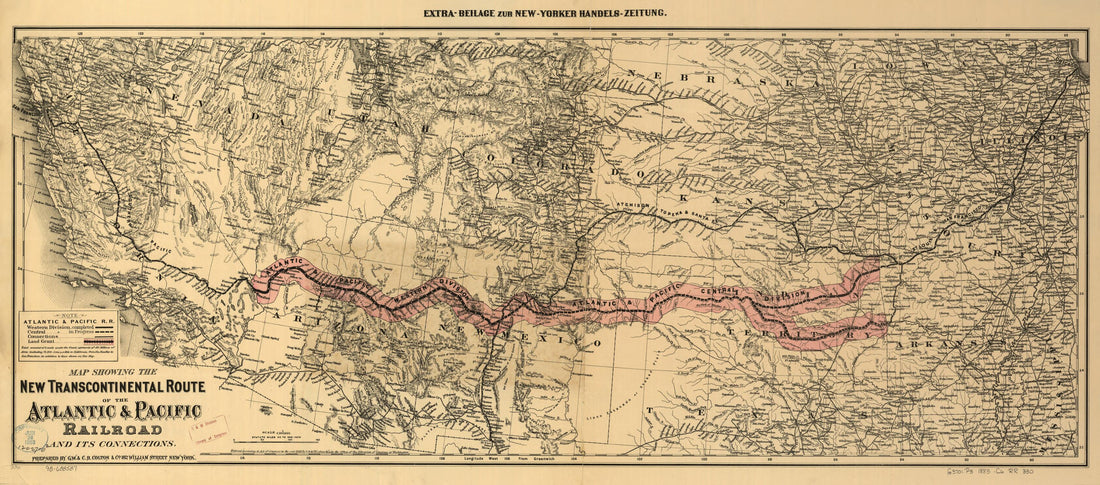 Map Showing the New Transcontinental Route of the Atlantic & Pacific Railroad and Its Connections 1883Map Showing the New Transcontinental Route of the Atlantic & Pacific Railroad and Its Connections 1883
- Regular price
-
$46.95 $99.95 - Regular price
-
$41.95 - Sale price
-
$46.95 $99.95
-
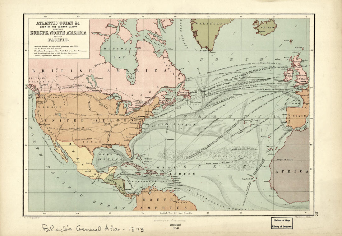 Atlantic Ocean &c. : Shewing the Communication Between Europe, North America and the Pacific (Atlantic Ocean Etc) 1873Atlantic Ocean &c. : Shewing the Communication Between Europe, North America and the Pacific (Atlantic Ocean Etc) 1873
- Regular price
-
$39.95 $99.95 - Regular price
-
$34.95 - Sale price
-
$39.95 $99.95


