949 products
-
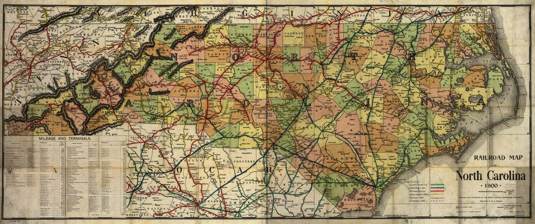 Railroad Map of North Carolina, in 1900, Examined and Authorized by the North Carolina Corporation CommissionRailroad Map of North Carolina, in 1900, Examined and Authorized by the North Carolina Corporation Commission
- Regular price
-
$46.95 $126.95 - Regular price
-
$41.95 - Sale price
-
$46.95 $126.95
-
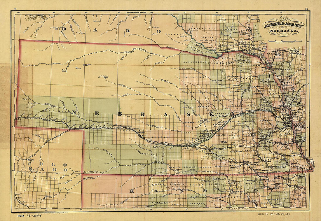 New Commercial and Topographical Rail Road Map & Guide of Nebraska 1874New Commercial and Topographical Rail Road Map & Guide of Nebraska 1874
- Regular price
-
$46.95 $99.95 - Regular price
-
$41.95 - Sale price
-
$46.95 $99.95
-
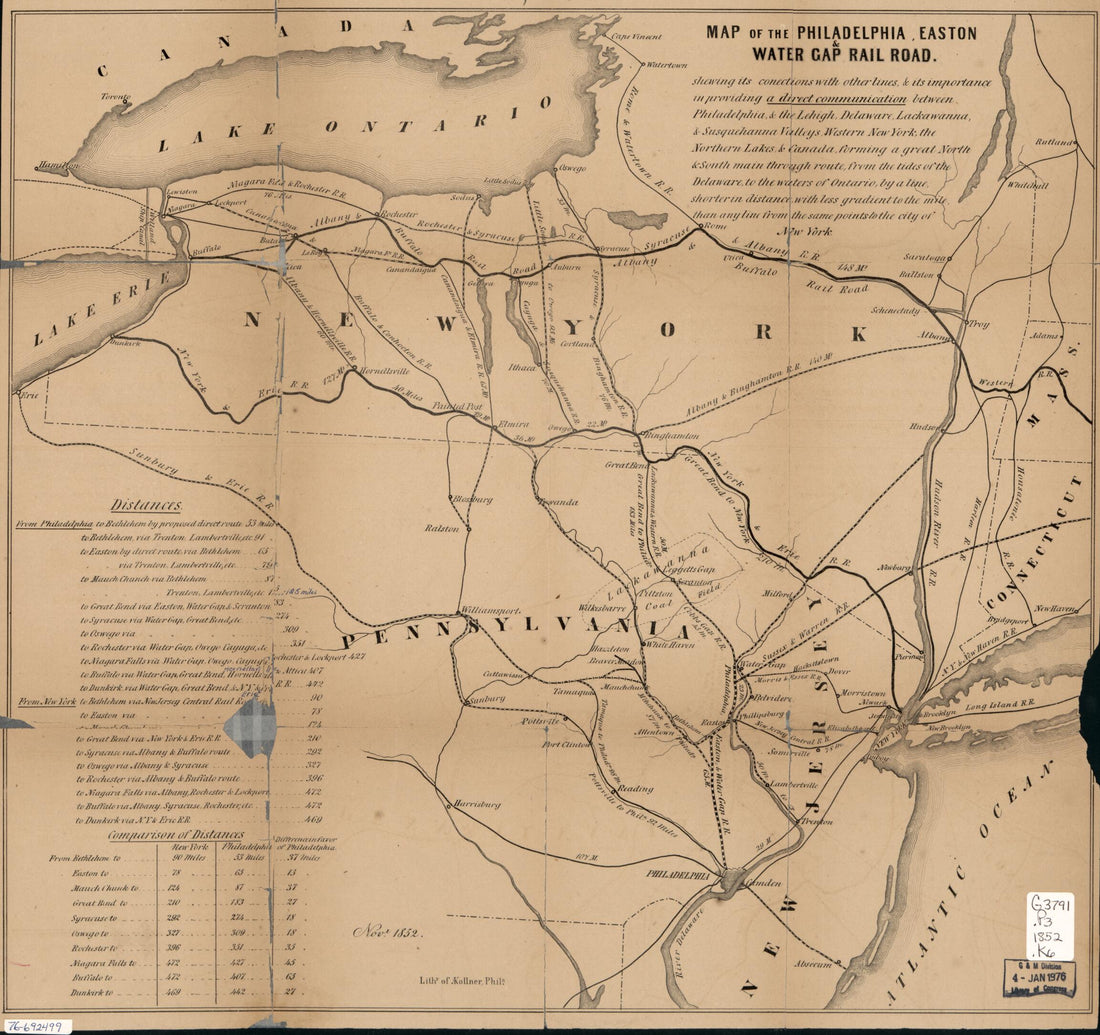 Map of the Philadelphia, Easton & Water Gap Rail Road 1852Map of the Philadelphia, Easton & Water Gap Rail Road 1852
- Regular price
-
$43.95 $83.95 - Regular price
-
$38.95 - Sale price
-
$43.95 $83.95
-
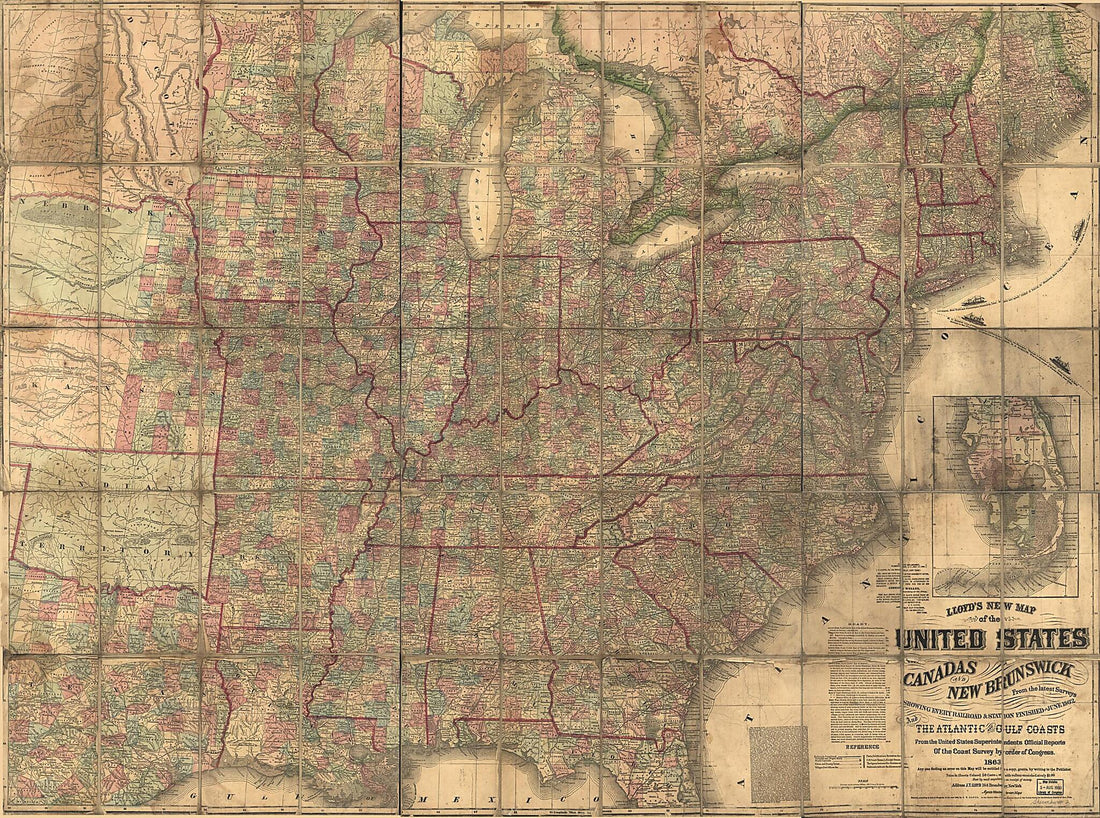 Lloyd's New Map of the United States, the Canadas and New Brunswick, and the Atlantic and Gulf Coasts : from the Latest Surveys Showing Every Railroad & Station Finished to June 1862 (United States, the Canadas and New Brunswick) 1863Lloyd's New Map of the United States, the Canadas and New Brunswick, and the Atlantic and Gulf Coasts : from the Latest Surveys Showing Every Railroad & Station Finished to June 1862 (United States, the Canadas and New Brunswick) 1863
- Regular price
-
$43.95 $197.95 - Regular price
-
$38.95 - Sale price
-
$43.95 $197.95
-
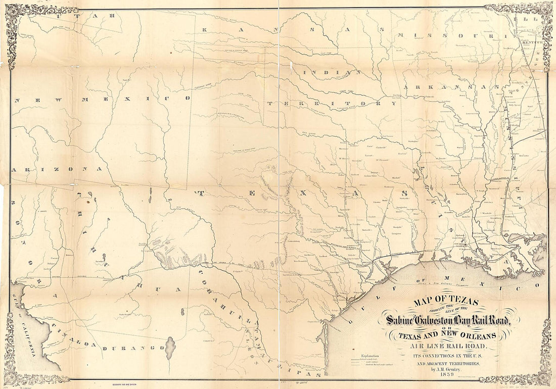 Map of Texas Showing the Sabine and Galveston Bay Rail Road, Or Texas and New Orleans Air Line Rail Line, Its Connections In the U.S. and Adjacent Territories 1859Map of Texas Showing the Sabine and Galveston Bay Rail Road, Or Texas and New Orleans Air Line Rail Line, Its Connections In the U.S. and Adjacent Territories 1859
- Regular price
-
$46.95 $136.95 - Regular price
-
$41.95 - Sale price
-
$46.95 $136.95
-
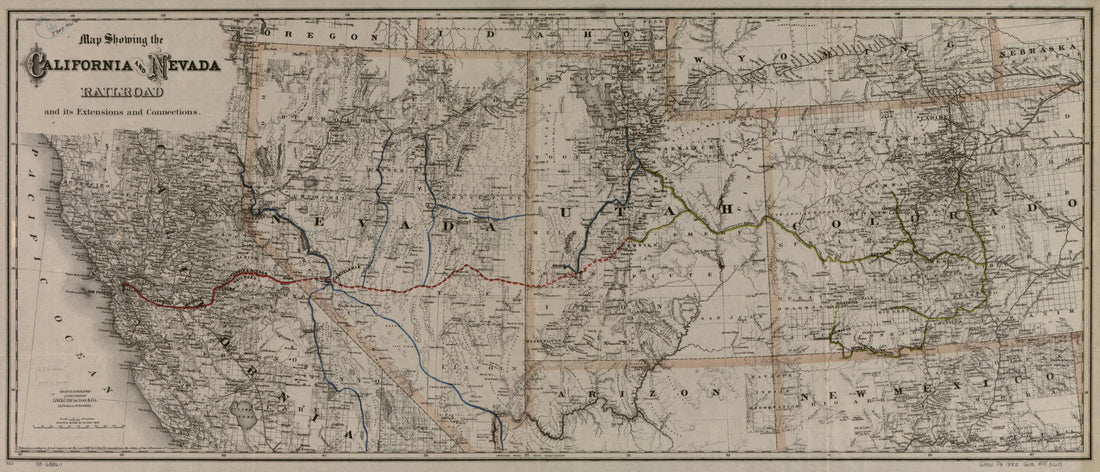 Map Showing the California and Nevada Railroad and Its Extensions and Connections 1882Map Showing the California and Nevada Railroad and Its Extensions and Connections 1882
- Regular price
-
$46.95 $99.95 - Regular price
-
$41.95 - Sale price
-
$46.95 $99.95
-
 Map Showing the Burlington Cedar Rapids and Minnesota Railway and Its Connections 1868Map Showing the Burlington Cedar Rapids and Minnesota Railway and Its Connections 1868
- Regular price
-
$43.95 $91.95 - Regular price
-
$38.95 - Sale price
-
$43.95 $91.95
-
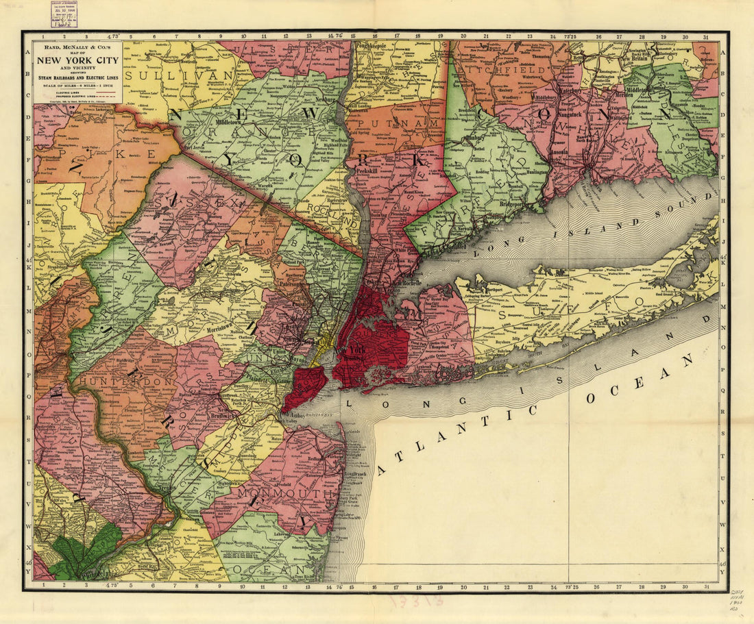 Rand, McNally & Co.'s Map of New York City and Vicinity Showing Steam Railroads and Electric Lines 1908Rand, McNally & Co.'s Map of New York City and Vicinity Showing Steam Railroads and Electric Lines 1908
- Regular price
-
$43.95 $83.95 - Regular price
-
$38.95 - Sale price
-
$43.95 $83.95
-
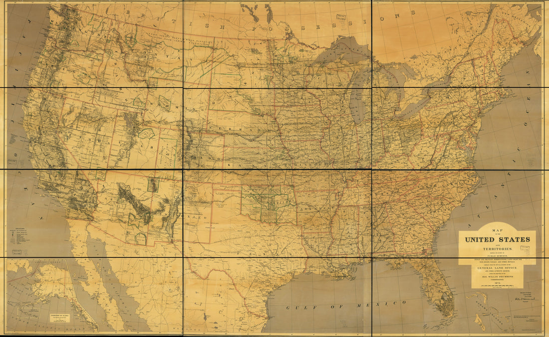 Map of the United States and Territories Showing the Extent of Public Surveys, Indian and Military Reservations, Land Grant R.R.; Rail Roads, Canals, and Other Details in 1873Map of the United States and Territories Showing the Extent of Public Surveys, Indian and Military Reservations, Land Grant R.R.; Rail Roads, Canals, and Other Details in 1873
- Regular price
-
$46.95 $287.95 - Regular price
-
$41.95 - Sale price
-
$46.95 $287.95
-
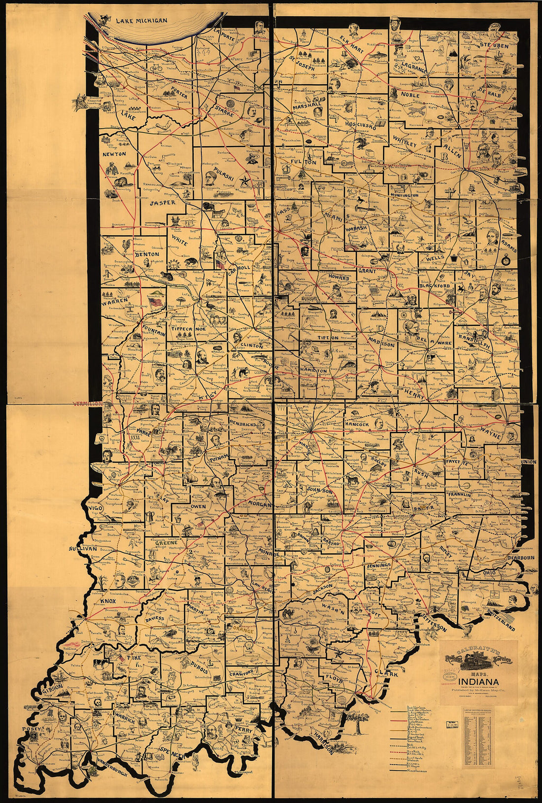 Galbraith's Railway Mail Service Maps, Indiana in 1897Galbraith's Railway Mail Service Maps, Indiana in 1897
- Regular price
-
$46.95 $261.95 - Regular price
-
$41.95 - Sale price
-
$46.95 $261.95
-
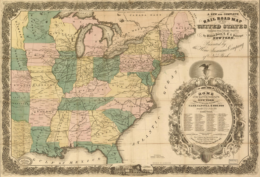 A New and Complete Rail Road Map of the United States Compiled from Reliable Sources by William Perris, C.E. & Surveyor, New York; Presented by the Home Insurance Company 1858A New and Complete Rail Road Map of the United States Compiled from Reliable Sources by William Perris, C.E. & Surveyor, New York; Presented by the Home Insurance Company 1858
- Regular price
-
$46.95 $99.95 - Regular price
-
$41.95 - Sale price
-
$46.95 $99.95
-
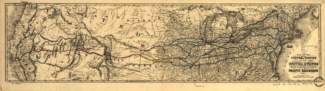 Map of the Central Portion of the United States Showing the Lines of the Proposed Pacific Railroads 1850Map of the Central Portion of the United States Showing the Lines of the Proposed Pacific Railroads 1850
- Regular price
-
$39.95 $99.95 - Regular price
-
$34.95 - Sale price
-
$39.95 $99.95


