816 products
-
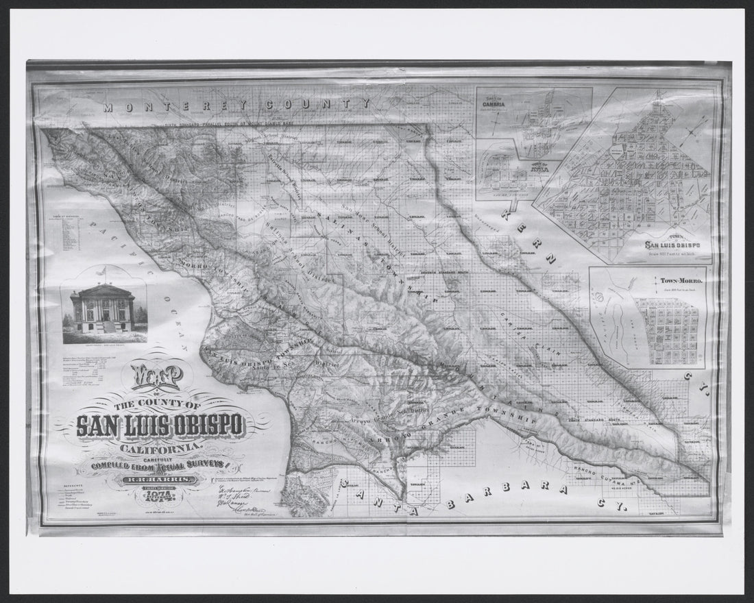
 CA Drawer 190, Folder 10, Item 03 from Maps of California--counties San Luis Obispo to 1938 1850CA Drawer 190, Folder 10, Item 03 from Maps of California--counties San Luis Obispo to 1938 1850
- Regular price
-
$49.95 $99.95 - Regular price
-
$32.95 - Sale price
-
$49.95 $99.95
-
 CA Drawer 190, Folder 09, Item 01 (Front) from Maps of California--counties San Luis Obispo to 1938 1850CA Drawer 190, Folder 09, Item 01 (Front) from Maps of California--counties San Luis Obispo to 1938 1850
- Regular price
-
$49.95 $99.95 - Regular price
-
$32.95 - Sale price
-
$49.95 $99.95
-
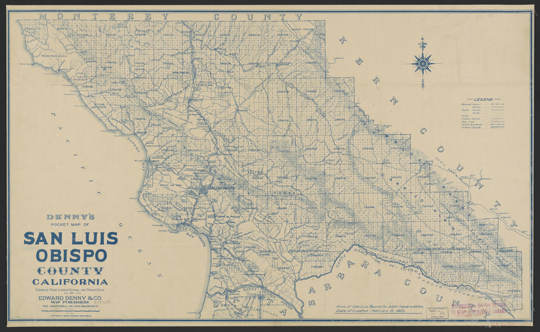
 CA Drawer 190, Folder 10, Item 04 from Maps of California--counties San Luis Obispo to 1938 1850CA Drawer 190, Folder 10, Item 04 from Maps of California--counties San Luis Obispo to 1938 1850
- Regular price
-
$49.95 $99.95 - Regular price
-
$33.95 - Sale price
-
$49.95 $99.95
-
 CA Drawer 190, Folder 04, Item 01 (Front) from Maps of California--counties San Luis Obispo to 1938 1850CA Drawer 190, Folder 04, Item 01 (Front) from Maps of California--counties San Luis Obispo to 1938 1850
- Regular price
-
$49.95 $99.95 - Regular price
-
$36.95 - Sale price
-
$49.95 $99.95
-
 CA Drawer 190, Folder 13, Item 01 (Front) from Maps of California--counties San Luis Obispo to 1938 1850CA Drawer 190, Folder 13, Item 01 (Front) from Maps of California--counties San Luis Obispo to 1938 1850
- Regular price
-
$49.95 $88.95 - Regular price
-
$36.95 - Sale price
-
$49.95 $88.95
-
 CA Drawer 190, Folder 10, Item 02 from Maps of California--counties San Luis Obispo to 1938 1850CA Drawer 190, Folder 10, Item 02 from Maps of California--counties San Luis Obispo to 1938 1850
- Regular price
-
$49.95 $99.95 - Regular price
-
$32.95 - Sale price
-
$49.95 $99.95
-
 CA Drawer 190, Folder 12, Item 01 from Maps of California--counties San Luis Obispo to 1938 1850CA Drawer 190, Folder 12, Item 01 from Maps of California--counties San Luis Obispo to 1938 1850
- Regular price
-
$49.95 $99.95 - Regular price
-
$36.95 - Sale price
-
$49.95 $99.95
-
 CA Drawer 190, Folder 11, Item 01 (Front) from Maps of California--counties San Luis Obispo to 1938 1850CA Drawer 190, Folder 11, Item 01 (Front) from Maps of California--counties San Luis Obispo to 1938 1850
- Regular price
-
$49.95 $99.95 - Regular price
-
$36.95 - Sale price
-
$49.95 $99.95
-
 CA Drawer 190, Folder 01, Item 01 (Front) from Maps of California--counties San Luis Obispo to 1938 1850CA Drawer 190, Folder 01, Item 01 (Front) from Maps of California--counties San Luis Obispo to 1938 1850
- Regular price
-
$49.95 $83.95 - Regular price
-
$36.95 - Sale price
-
$49.95 $83.95
-
 CA Drawer 190, Folder 07, Item 01 from Maps of California--counties San Luis Obispo to 1938 1850CA Drawer 190, Folder 07, Item 01 from Maps of California--counties San Luis Obispo to 1938 1850
- Regular price
-
$49.95 $99.95 - Regular price
-
$36.95 - Sale price
-
$49.95 $99.95
-
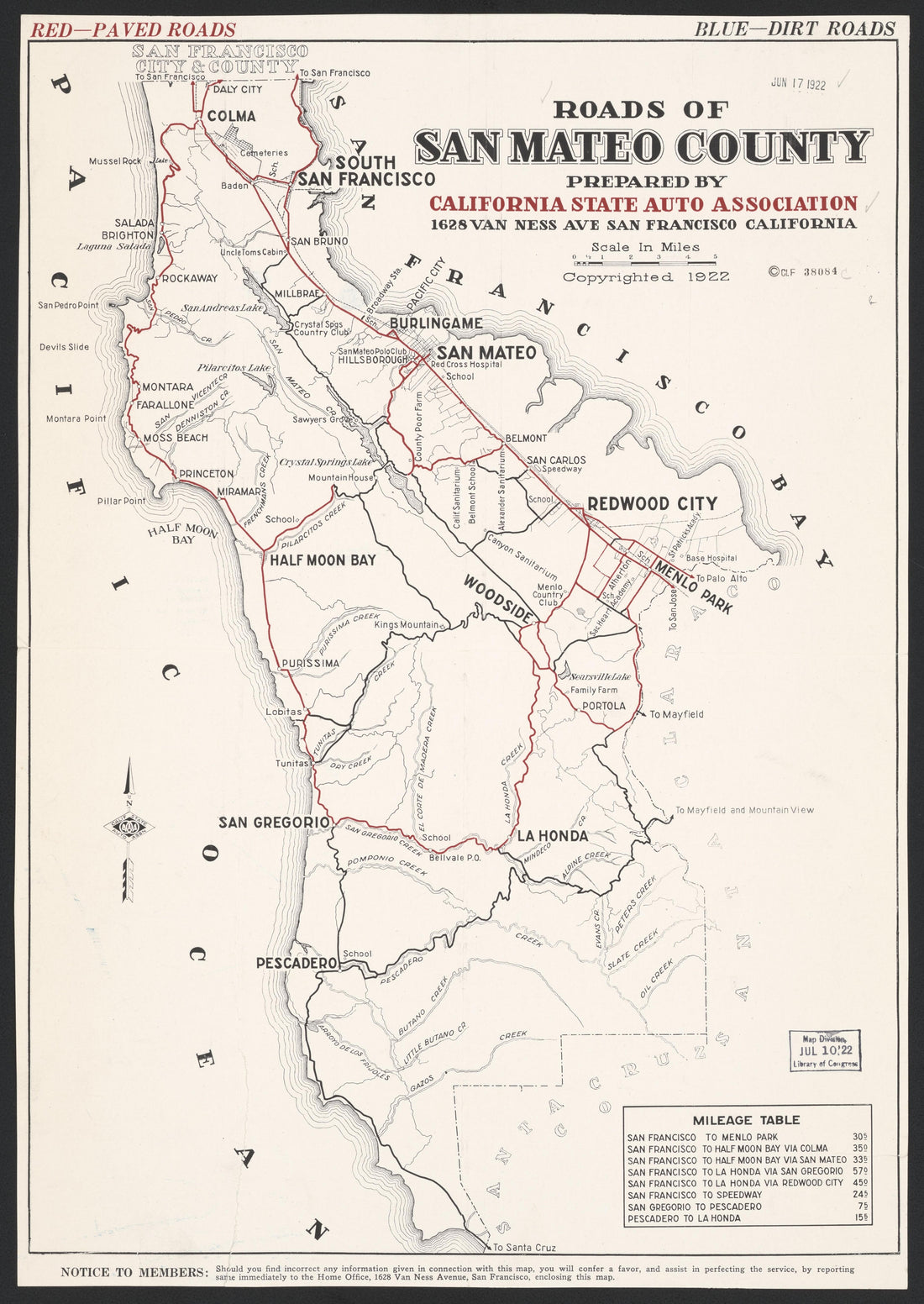 CA Drawer 192, Folder 06, Item 01 from Maps of California--counties San Mateo to 1939 1856CA Drawer 192, Folder 06, Item 01 from Maps of California--counties San Mateo to 1939 1856
- Regular price
-
$49.95 $88.95 - Regular price
-
$36.95 - Sale price
-
$49.95 $88.95
-
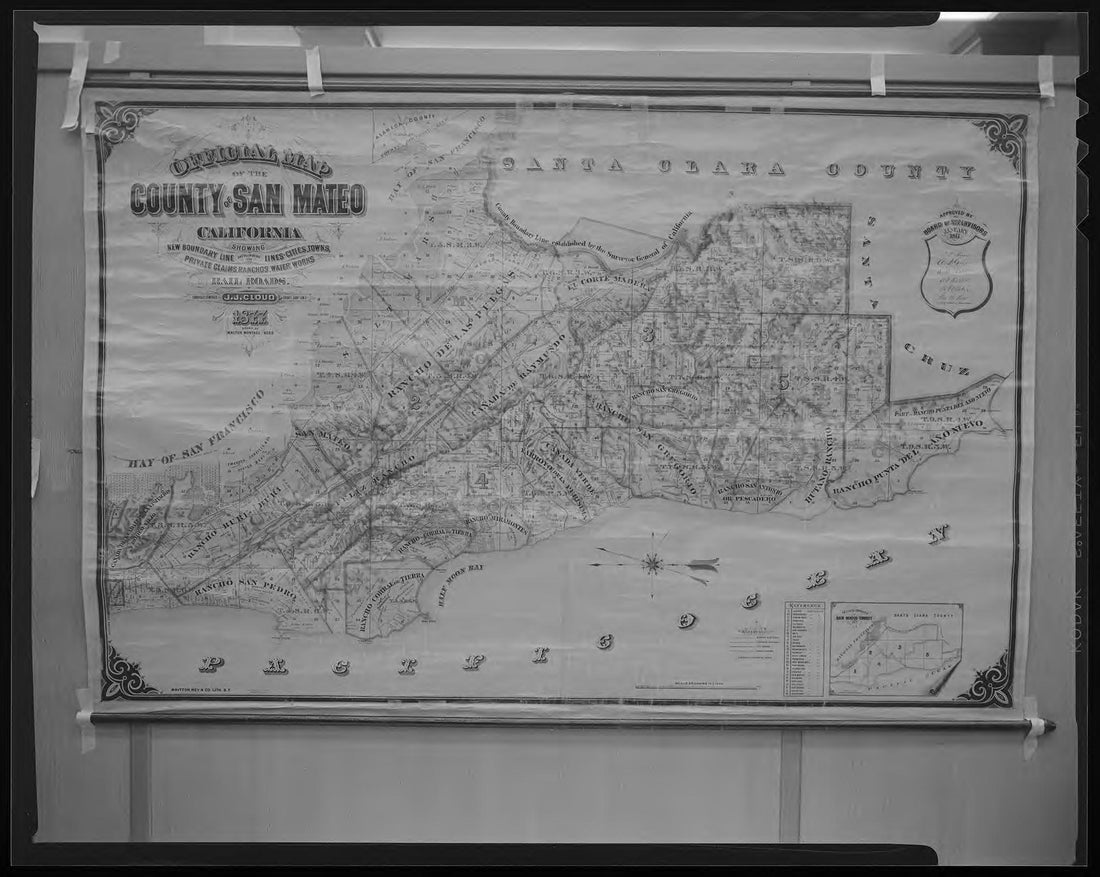 CA Drawer 192, Folder 01, Item 02 from Maps of California--counties San Mateo to 1939 1856CA Drawer 192, Folder 01, Item 02 from Maps of California--counties San Mateo to 1939 1856
- Regular price
-
$49.95 $83.95 - Regular price
-
$5.95 - Sale price
-
$49.95 $83.95


