467 products
-
Plano De La Costa De Tierra Firme Desde Santa Marta Asta La Punta De Piedra O Y Cacos Hecho Segun La Mejor Correción Hecha Asta El Año De 1755 Por El Piloto Del Jabege. De S.M. Nombrado El Casa Dor En Tres Años Que Hestubo Deguarda Costa En Dhs Par...
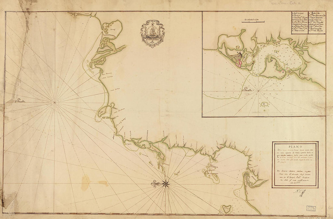 Plano De La Costa De Tierra Firme Desde Santa Marta Asta La Punta De Piedra O Y Cacos Hecho Segun La Mejor Correción Hecha Asta El Año De 1755 Por El Piloto Del Jabege. De S.M. Nombrado El Casa Dor En Tres Años Que Hestubo Deguarda Costa En Dhs Par...
- Regular price
-
From
$41.95 - Regular price
-
$66.99 - Sale price
-
From
$41.95
-
Discrección De La Costa De Yucatan, Sonda De Campeche Y Baxos Adjacentes Segun Su Antigua Situación Con La Derrota Qe. Practicaron En Solicitud Del Nombrado Negrillo Sin En Contrar Le, El Paquebot Del Rey Titulado Sn. Carlos Al Mando Del Teniente De...
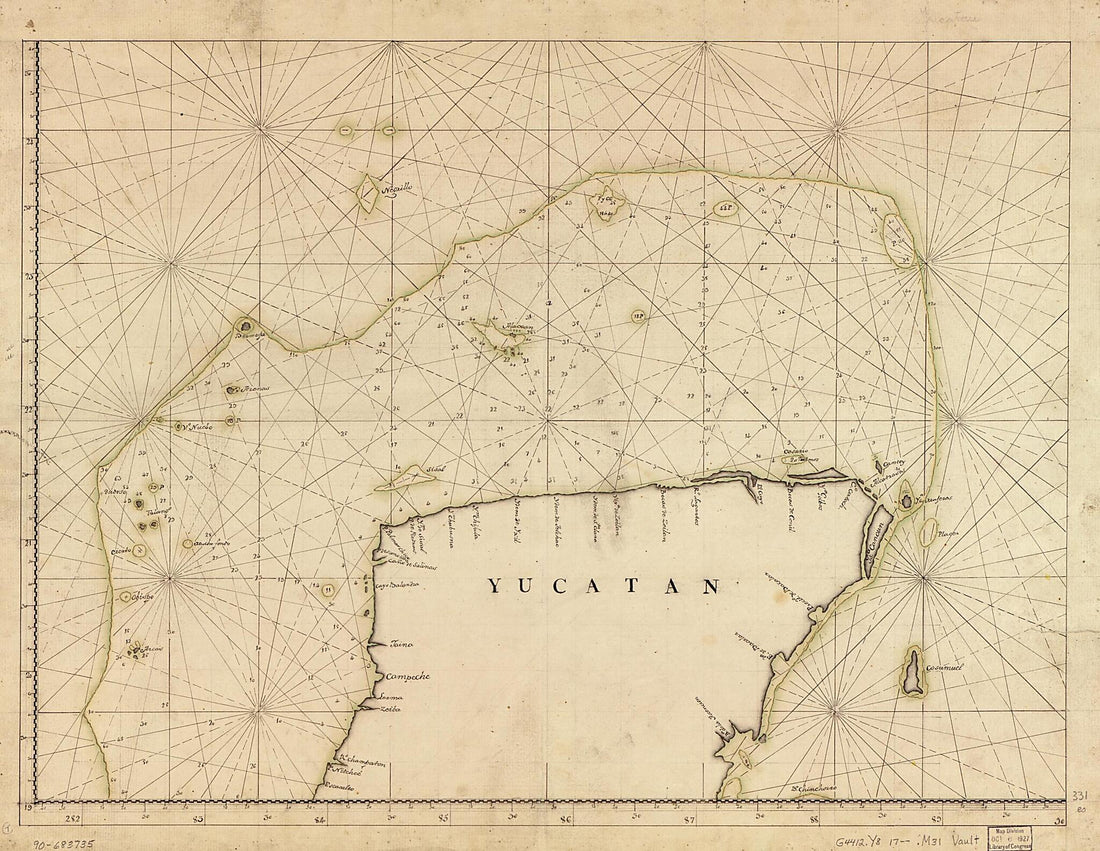 Discrección De La Costa De Yucatan, Sonda De Campeche Y Baxos Adjacentes Segun Su Antigua Situación Con La Derrota Qe. Practicaron En Solicitud Del Nombrado Negrillo Sin En Contrar Le, El Paquebot Del Rey Titulado Sn. Carlos Al Mando Del Teniente De...
- Regular price
-
From
$32.95 - Regular price
-
$51.99 - Sale price
-
From
$32.95
-
Plano Del Puerto De La Ysla De Roatán Cituado En La Parte Del S. Y E. De Ella, El Centro De Esta Ysla Se Halla En La Latd. N. 16⁰24ʹ Y En Longd. 289⁰6ʹ, Merido. De Tenerife, Siendo Su Extención De 14 Legs. Havitada Por Los Basallos De S.M.B. Y...
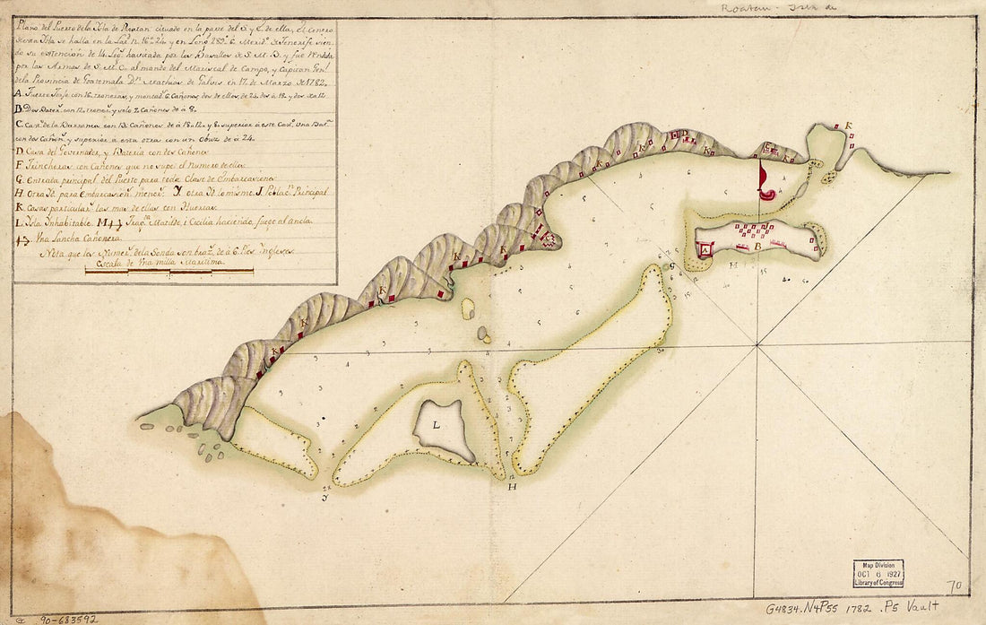 Plano Del Puerto De La Ysla De Roatán Cituado En La Parte Del S. Y E. De Ella, El Centro De Esta Ysla Se Halla En La Latd. N. 16⁰24ʹ Y En Longd. 289⁰6ʹ, Merido. De Tenerife, Siendo Su Extención De 14 Legs. Havitada Por Los Basallos De S.M.B. Y...
- Regular price
-
From
$25.95 - Regular price
-
$40.95 - Sale price
-
From
$25.95
-
Este Plano Manifiesta La Configuración Del Bajo Llamado El Cascabel Ignorado Hasta a Ora De Los Practicos De Esta Costa Su Bendadera Cituación La Qe. Se Encontro Ser Por Latitud Septentrional De 11 Gs. Y Longitud De 302 Gs. 01 Mo. De Meridiano De Te...
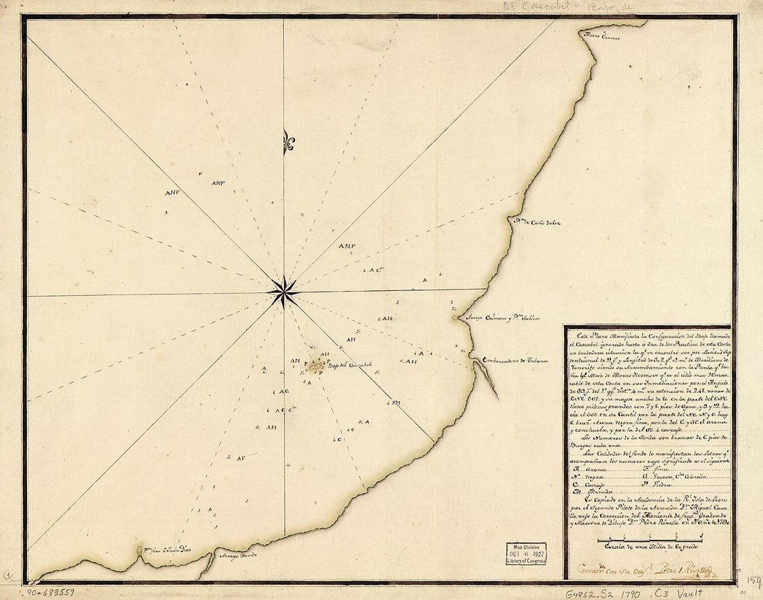 Este Plano Manifiesta La Configuración Del Bajo Llamado El Cascabel Ignorado Hasta a Ora De Los Practicos De Esta Costa Su Bendadera Cituación La Qe. Se Encontro Ser Por Latitud Septentrional De 11 Gs. Y Longitud De 302 Gs. 01 Mo. De Meridiano De Te...
- Regular price
-
From
$29.95 - Regular price
-
$46.95 - Sale price
-
From
$29.95
-
Plano Del Puerto De Angel Situado En La Costa De Angel En La Latitud De blank Grados Y blank Minutos Y En La Longitud De blank Grados Y blank Minutos Segun El Meridiano De Thenerife : Este Puerto Fue Bombeado Pr. La Armada Naval De Francia, El Año De...
 Plano Del Puerto De Angel Situado En La Costa De Angel En La Latitud De blank Grados Y blank Minutos Y En La Longitud De blank Grados Y blank Minutos Segun El Meridiano De Thenerife : Este Puerto Fue Bombeado Pr. La Armada Naval De Francia, El Año De...
- Regular price
-
From
$41.95 - Regular price
-
$66.99 - Sale price
-
From
$41.95
-
Este Plano Manifiesta La Cituación Y Configuración Del Bajo Llamado El Cascabel, Ignorada De Los Practicos De Esta Costa, Hasta El Año 1790, Su Verdadera Situacn. La Qe. Se Hallo Ser Por Latitud Septentrional De 11⁰00ʹ Y Pr. Longitud De 302⁰01...
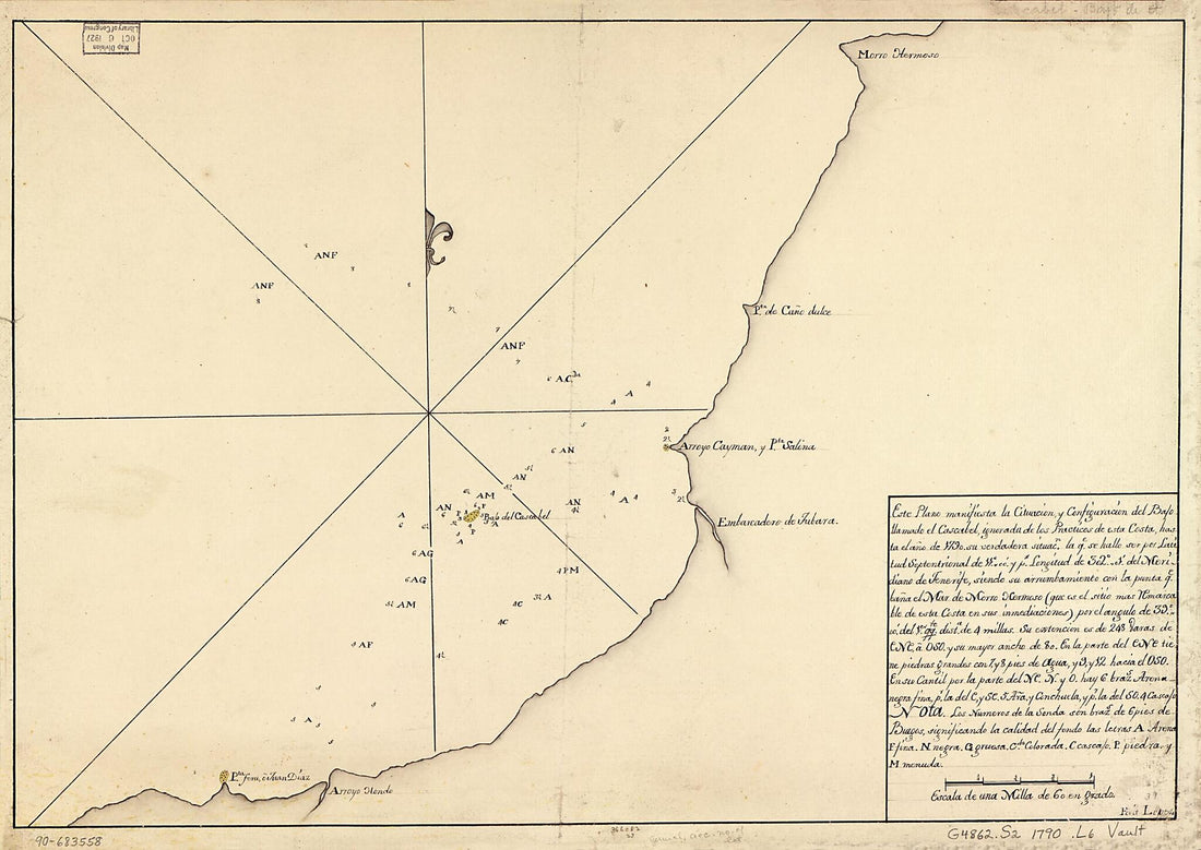 Este Plano Manifiesta La Cituación Y Configuración Del Bajo Llamado El Cascabel, Ignorada De Los Practicos De Esta Costa, Hasta El Año 1790, Su Verdadera Situacn. La Qe. Se Hallo Ser Por Latitud Septentrional De 11⁰00ʹ Y Pr. Longitud De 302⁰01...
- Regular price
-
From
$32.95 - Regular price
-
$51.99 - Sale price
-
From
$32.95
-
South Sea. Pacific Ocean. (Mar Pacifico. by Hessel Gerritsz. Met Octroy Van De E.H.M. Heeren De Staten Generael Der Vereenichde Nederlanden . Duytsche Mÿlen Vÿftien Voor Een Graedt) 1622
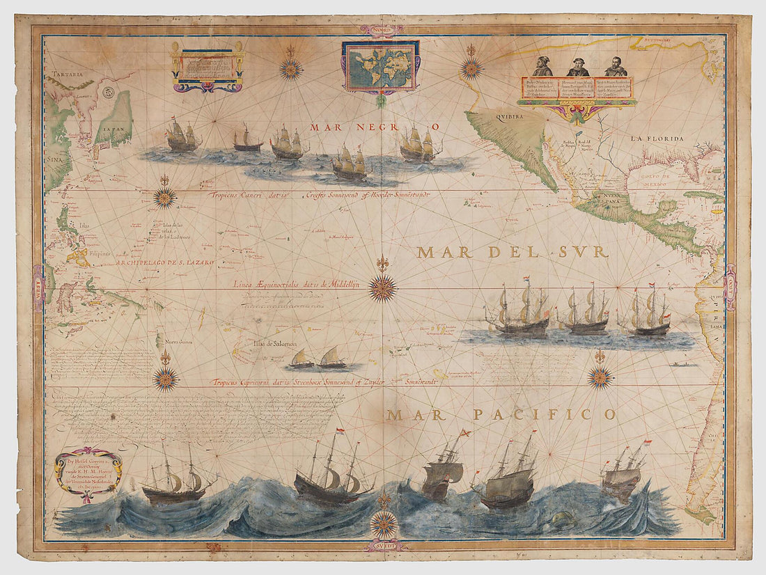 South Sea. Pacific Ocean. (Mar Pacifico. by Hessel Gerritsz. Met Octroy Van De E.H.M. Heeren De Staten Generael Der Vereenichde Nederlanden . Duytsche Mÿlen Vÿftien Voor Een Graedt) 1622
- Regular price
-
From
$32.95 - Regular price
-
$51.99 - Sale price
-
From
$32.95
-
Portolan Atlas of the Mediterranean Sea, Northwest Europe, and Northwest Africa 1590
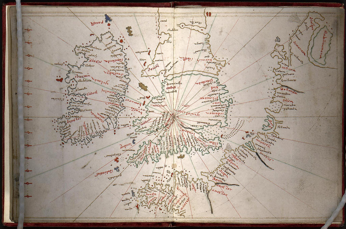 Portolan Atlas of the Mediterranean Sea, Northwest Europe, and Northwest Africa 1590
- Regular price
-
From
$19.95 - Regular price
-
$29.95 - Sale price
-
From
$19.95
-
Chart of the Coast of China and of the Japan Islands : Including the Marianes and Part of the Philippines 1855
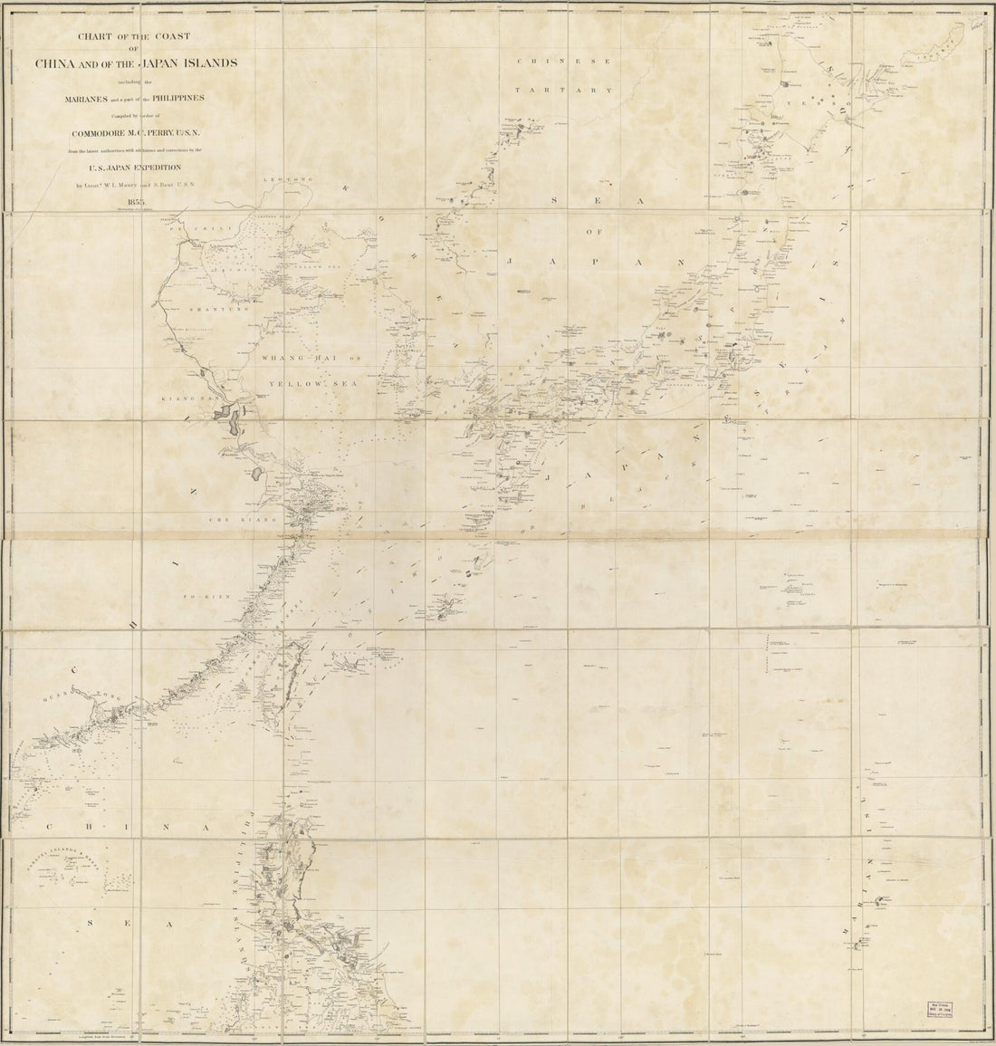 Chart of the Coast of China and of the Japan Islands : Including the Marianes and Part of the Philippines 1855
- Regular price
-
From
$34.95 - Regular price
-
$49.99 - Sale price
-
From
$34.95
-
Nautical Atlas of the World, Folio 3 Recto, Northern Indian Ocean With Arabia and India and Folio 3 Verso, Southern Indian Ocean With Insulindia On the Left, and Madagascar On the Right 1519
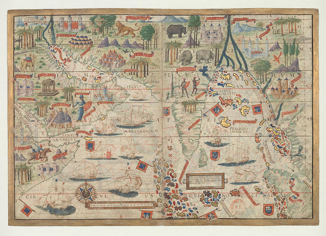 Nautical Atlas of the World, Folio 3 Recto, Northern Indian Ocean With Arabia and India and Folio 3 Verso, Southern Indian Ocean With Insulindia On the Left, and Madagascar On the Right 1519
- Regular price
-
From
$32.95 - Regular price
-
$51.99 - Sale price
-
From
$32.95
-
Atlas : Being a Book of Maratime (sic) Charts Describing the Coasts, Capes, Headlands, Sands, Shoals, Rocks and Dangers, the Bays, Roads, Harbours, Rivers, and Ports In Most of the Known Parts of the World : With the True Course and Distances from One...
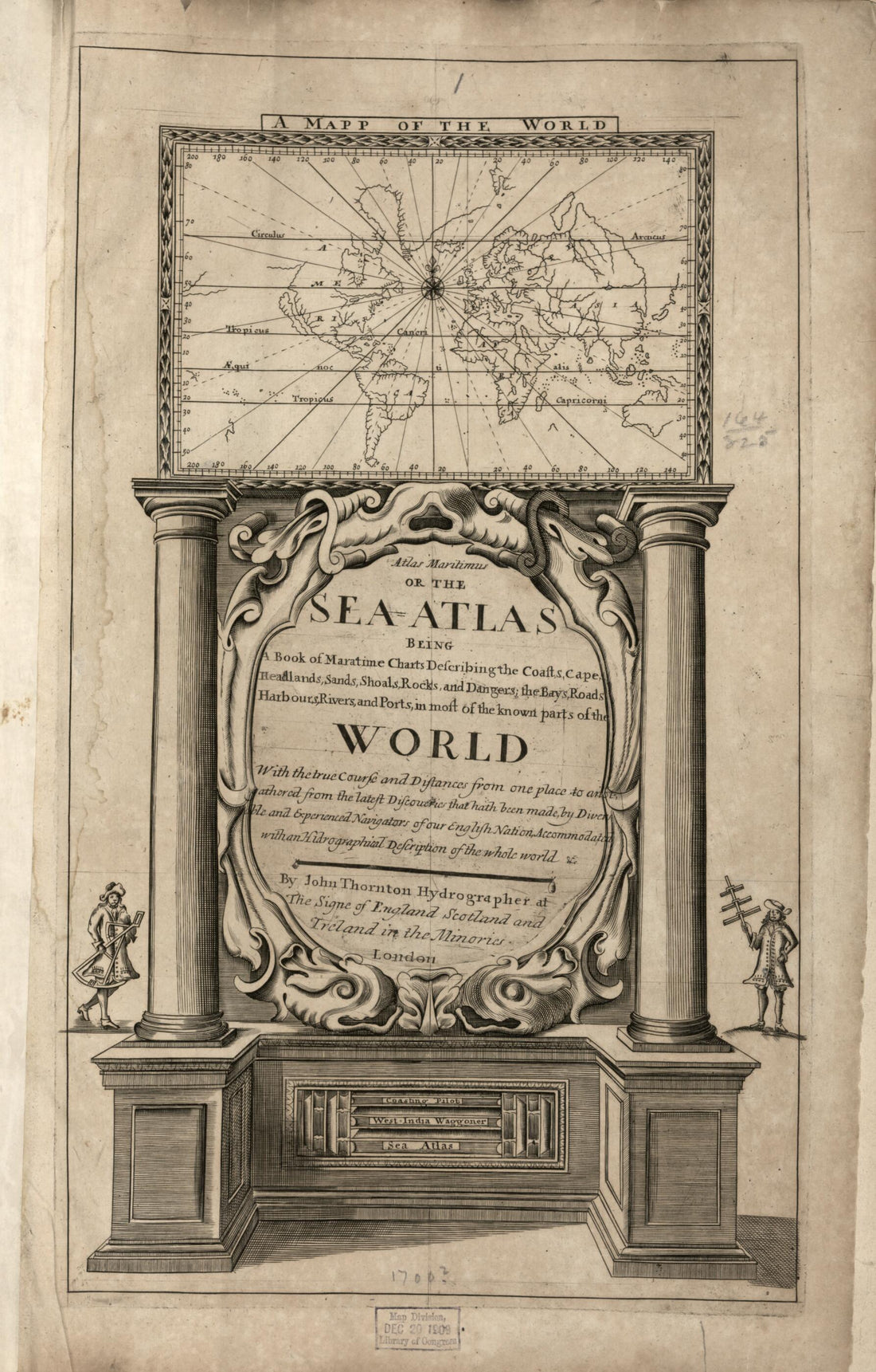 Atlas : Being a Book of Maratime (sic) Charts Describing the Coasts, Capes, Headlands, Sands, Shoals, Rocks and Dangers, the Bays, Roads, Harbours, Rivers, and Ports In Most of the Known Parts of the World : With the True Course and Distances from One...
- Regular price
-
From
$33.95 - Regular price
-
$53.99 - Sale price
-
From
$33.95
-
Maps of the Japanese Coastal Areas (Ino Maps) 1873
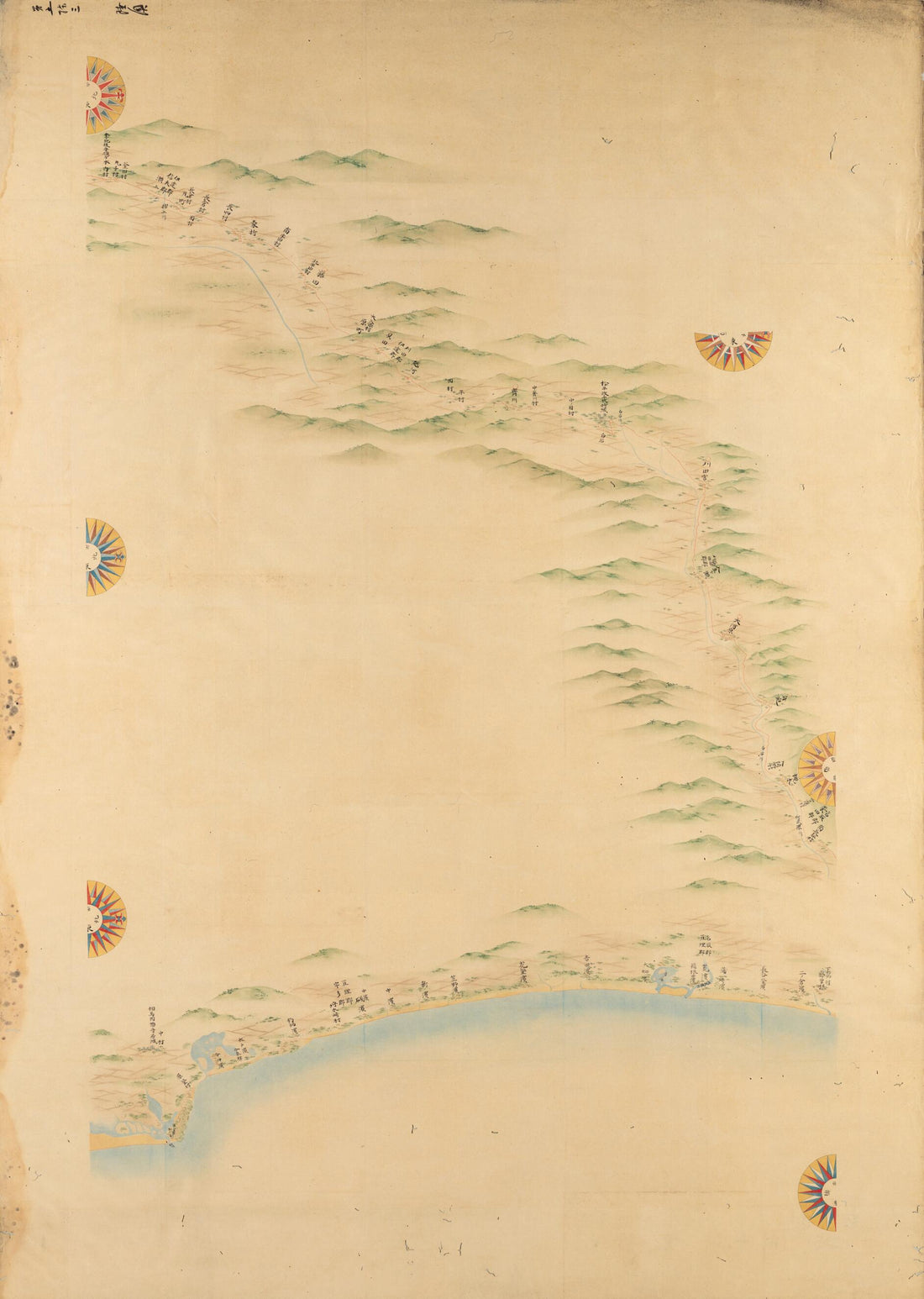 Maps of the Japanese Coastal Areas (Ino Maps) 1873
- Regular price
-
From
$32.95 - Regular price
-
$51.99 - Sale price
-
From
$32.95


