455 products
-
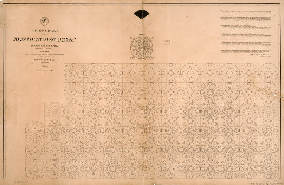 Pilot Chart of the North Indian Ocean (North Indian Ocean) 1855Pilot Chart of the North Indian Ocean (North Indian Ocean) 1855
- Regular price
-
$46.95 $99.95 - Regular price
-
$41.95 - Sale price
-
$46.95 $99.95
-
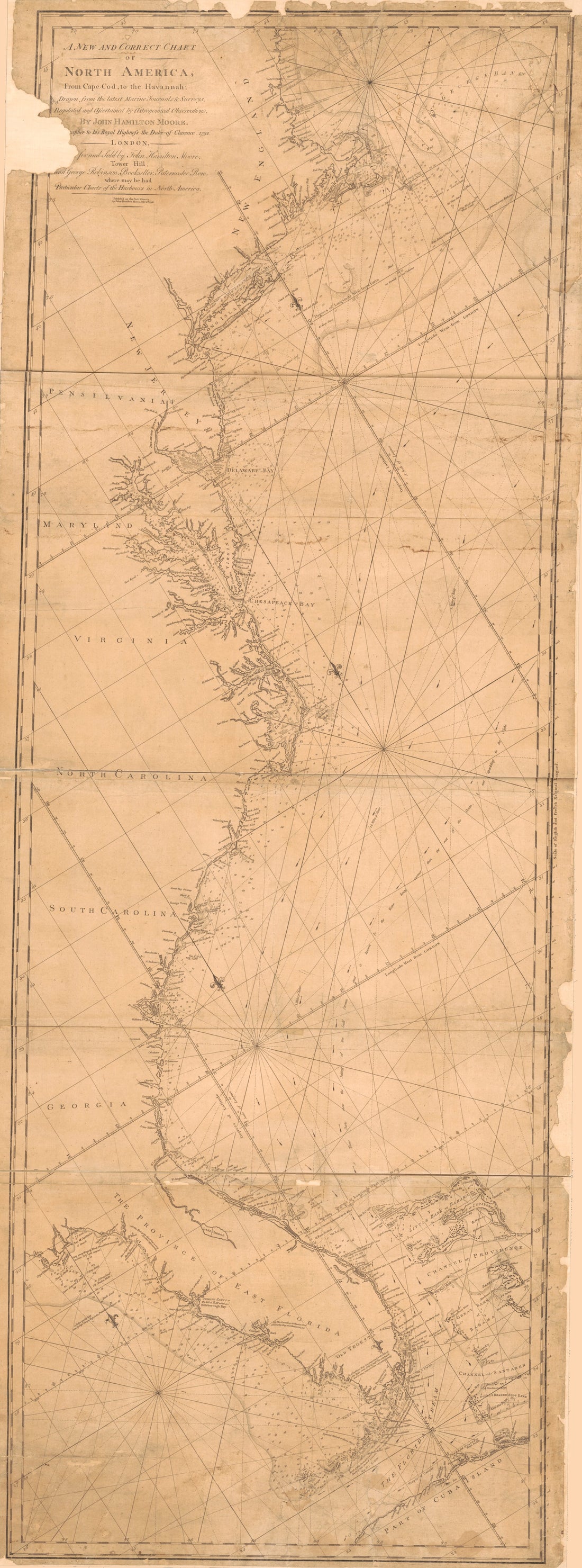 A New and Correct Chart of North America From Cape Cod to the Havannah in 1796A New and Correct Chart of North America From Cape Cod to the Havannah in 1796
- Regular price
-
$46.95 $200.95 - Regular price
-
$41.95 - Sale price
-
$46.95 $200.95
-
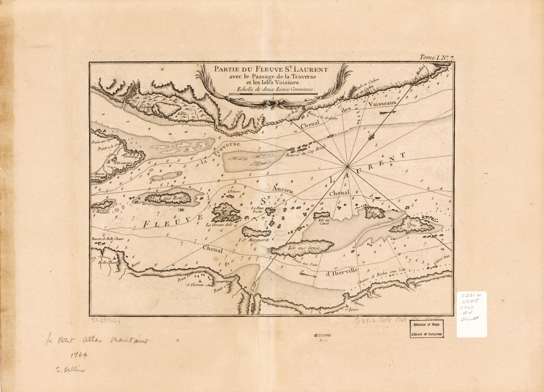 Partie Du Fleuve St. Laurent Avec Le Passage De La Traverse Et Les Isles Voisines 1764Partie Du Fleuve St. Laurent Avec Le Passage De La Traverse Et Les Isles Voisines 1764
- Regular price
-
$39.95 $88.95 - Regular price
-
$34.95 - Sale price
-
$39.95 $88.95
-
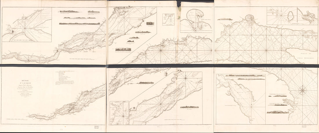 Rivière St. Laurent Depuis L'Isle Anticosti Jusqu'au Saut De Richelieu Avec Des Directions Pour La Navigation in 1778Rivière St. Laurent Depuis L'Isle Anticosti Jusqu'au Saut De Richelieu Avec Des Directions Pour La Navigation in 1778
- Regular price
-
$46.95 $321.95 - Regular price
-
$41.95 - Sale price
-
$46.95 $321.95
-
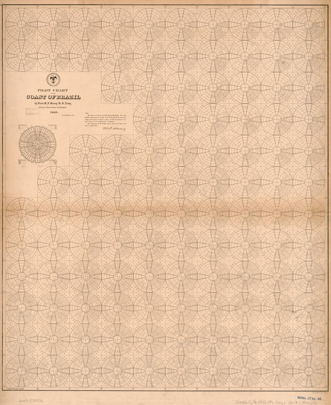 Pilot Chart of the Coast of Brazil (Coast of Brazil) 1852Pilot Chart of the Coast of Brazil (Coast of Brazil) 1852
- Regular price
-
$43.95 $84.95 - Regular price
-
$38.95 - Sale price
-
$43.95 $84.95
-
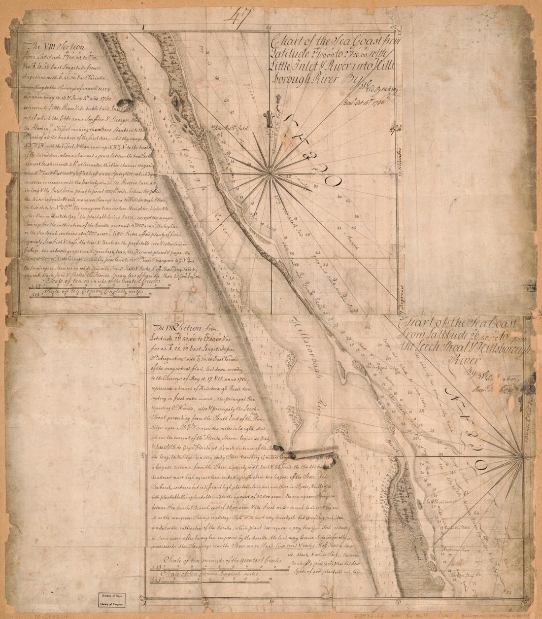 Charts of the Coast of Florida 1765Charts of the Coast of Florida 1765
- Regular price
-
$43.95 $83.95 - Regular price
-
$38.95 - Sale price
-
$43.95 $83.95
-
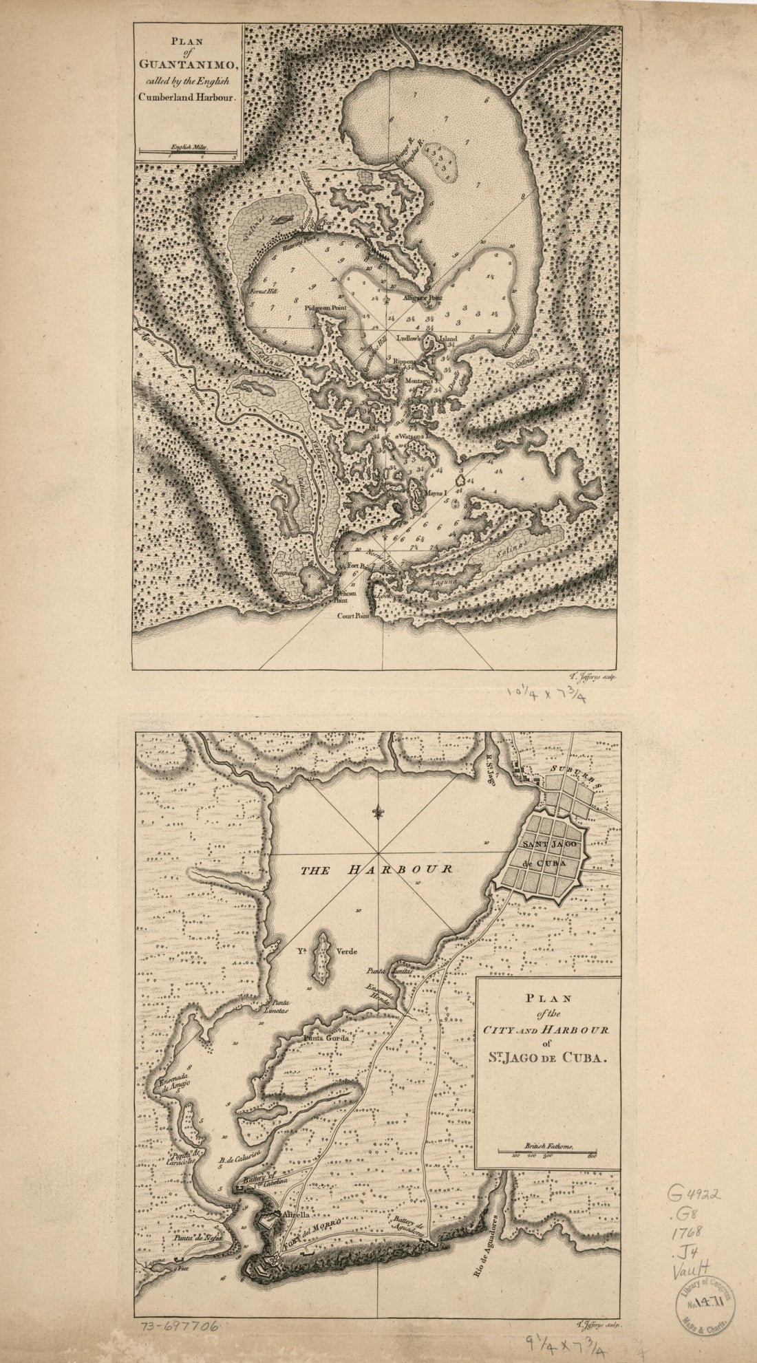 Plan of Guantanimo, Called by the English Cumberland Harbour. Plan of the City and Harbour of St. Jago De Cuba 1768Plan of Guantanimo, Called by the English Cumberland Harbour. Plan of the City and Harbour of St. Jago De Cuba 1768
- Regular price
-
$46.95 $99.95 - Regular price
-
$41.95 - Sale price
-
$46.95 $99.95
-
 The Atlantic Neptune 1800The Atlantic Neptune 1800
- Regular price
-
$43.95 $88.95 - Regular price
-
$38.95 - Sale price
-
$43.95 $88.95
-
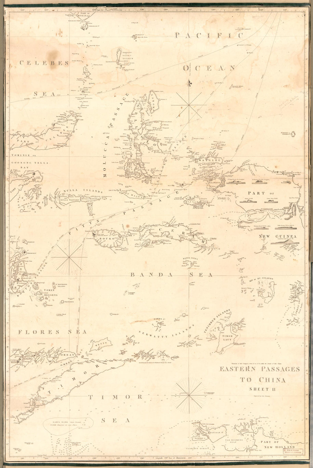 Eastern Passages to China Sheet II 1839Eastern Passages to China Sheet II 1839
- Regular price
-
$46.95 $103.95 - Regular price
-
$41.95 - Sale price
-
$46.95 $103.95
-
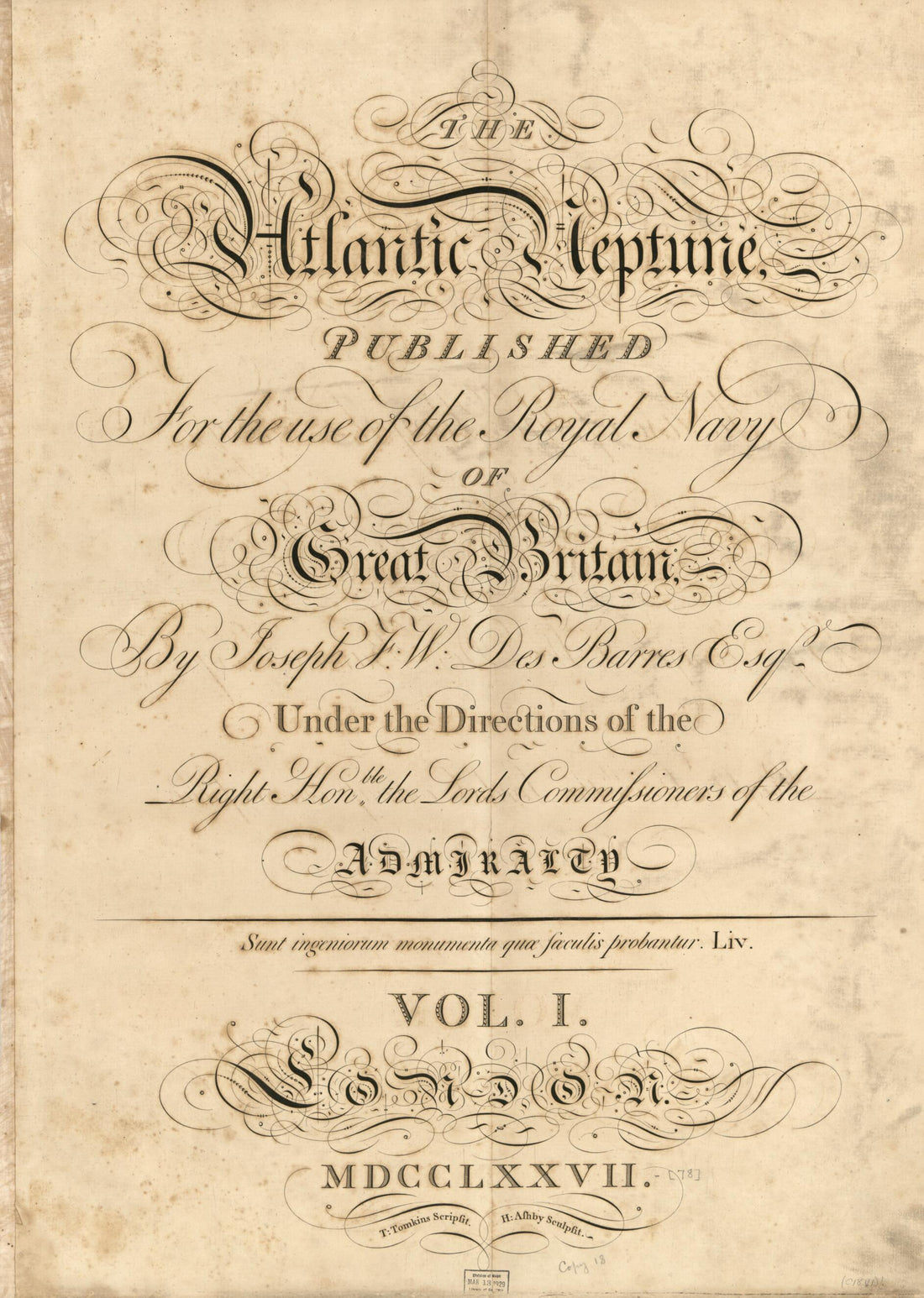 The Atlantic Neptune, Published for the Use of the Royal Navy of Great Britain 1778The Atlantic Neptune, Published for the Use of the Royal Navy of Great Britain 1778
- Regular price
-
$43.95 $88.95 - Regular price
-
$38.95 - Sale price
-
$43.95 $88.95
-
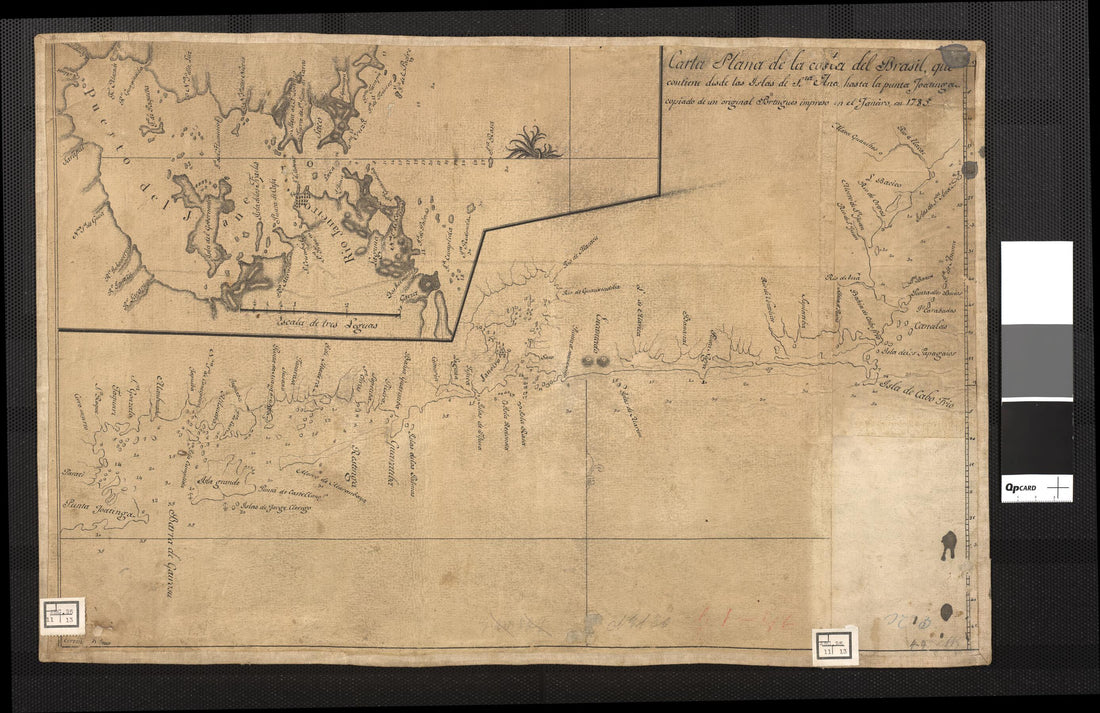 Map of the Brazilian Coast, Which Goes from Santa Ana Island to the Joatinga, Copied from a Portuguese Map and Printed On January, 1785. (Carta Plana De La Costa Del Brasil, Que Contiene Desde Las Islas De Sta. Ana Hasta La Punta Joatinga, Copiado De ...Map of the Brazilian Coast, Which Goes from Santa Ana Island to the Joatinga, Copied from a Portuguese Map and Printed On January, 1785. (Carta Plana De La Costa Del Brasil, Que Contiene Desde Las Islas De Sta. Ana Hasta La Punta Joatinga, Copiado De ...
- Regular price
-
$43.95 $99.95 - Regular price
-
$38.95 - Sale price
-
$43.95 $99.95
-
 Kō No Zu = China East Coast, Amoy Harbour (清國東海岸厦門港之圖 = China East Coast, Amoy Harbour /, China East Coast, Amoy Harbour) 1872Kō No Zu = China East Coast, Amoy Harbour (清國東海岸厦門港之圖 = China East Coast, Amoy Harbour /, China East Coast, Amoy Harbour) 1872
- Regular price
-
$39.95 $83.95 - Regular price
-
$34.95 - Sale price
-
$39.95 $83.95


