455 products
-
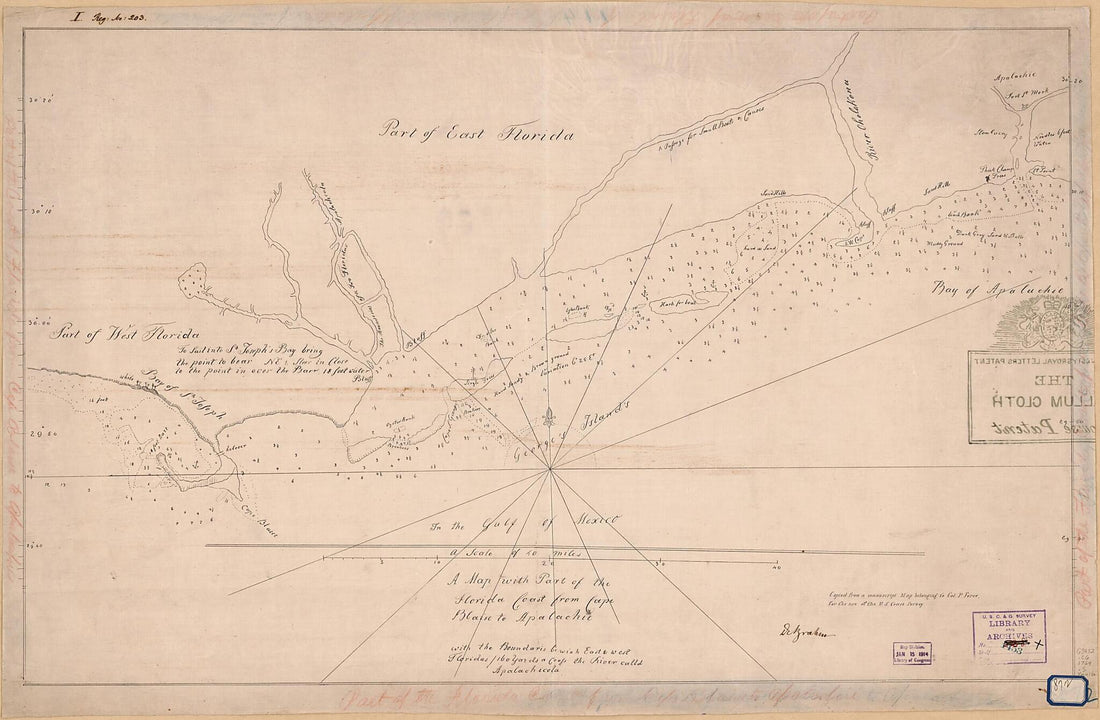 A Map With Part of the Florida Coast from Cape Blaise to Apalachie : With the Boundaries Bewixh East & West Floridas : 160 Yards Across the River Calld Apalachicola. (Florida Coast from Cape Blaise to Apalachie) 1769A Map With Part of the Florida Coast from Cape Blaise to Apalachie : With the Boundaries Bewixh East & West Floridas : 160 Yards Across the River Calld Apalachicola. (Florida Coast from Cape Blaise to Apalachie) 1769
- Regular price
-
$46.95 $135.95 - Regular price
-
$41.95 - Sale price
-
$46.95 $135.95
-
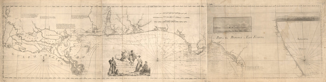
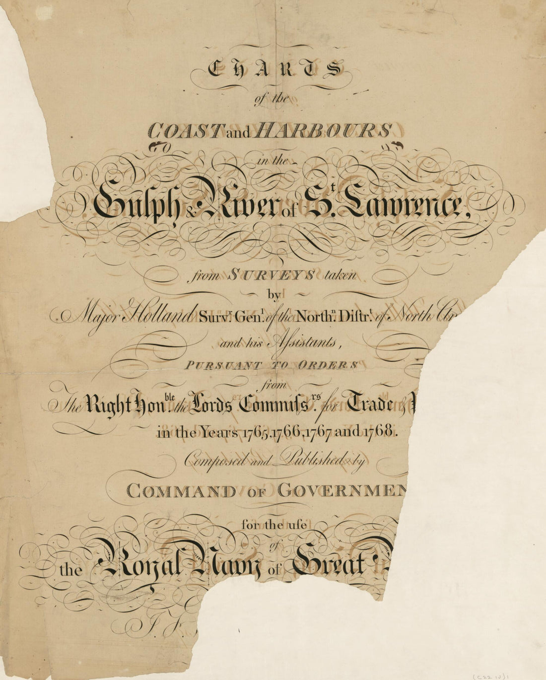 The Atlantic Neptune, Published for the Use of the Royal Navy of Great Britain 1780The Atlantic Neptune, Published for the Use of the Royal Navy of Great Britain 1780
- Regular price
-
$43.95 $83.95 - Regular price
-
$38.95 - Sale price
-
$43.95 $83.95
-
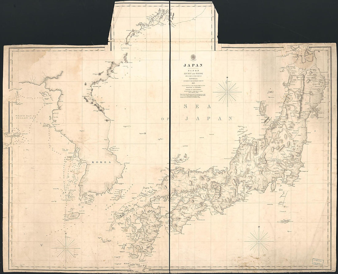 Japan : Nipon, Kiusiu and Sikok, and a Part of the Coast of Korea 1855Japan : Nipon, Kiusiu and Sikok, and a Part of the Coast of Korea 1855
- Regular price
-
$43.95 $128.95 - Regular price
-
$38.95 - Sale price
-
$43.95 $128.95
-
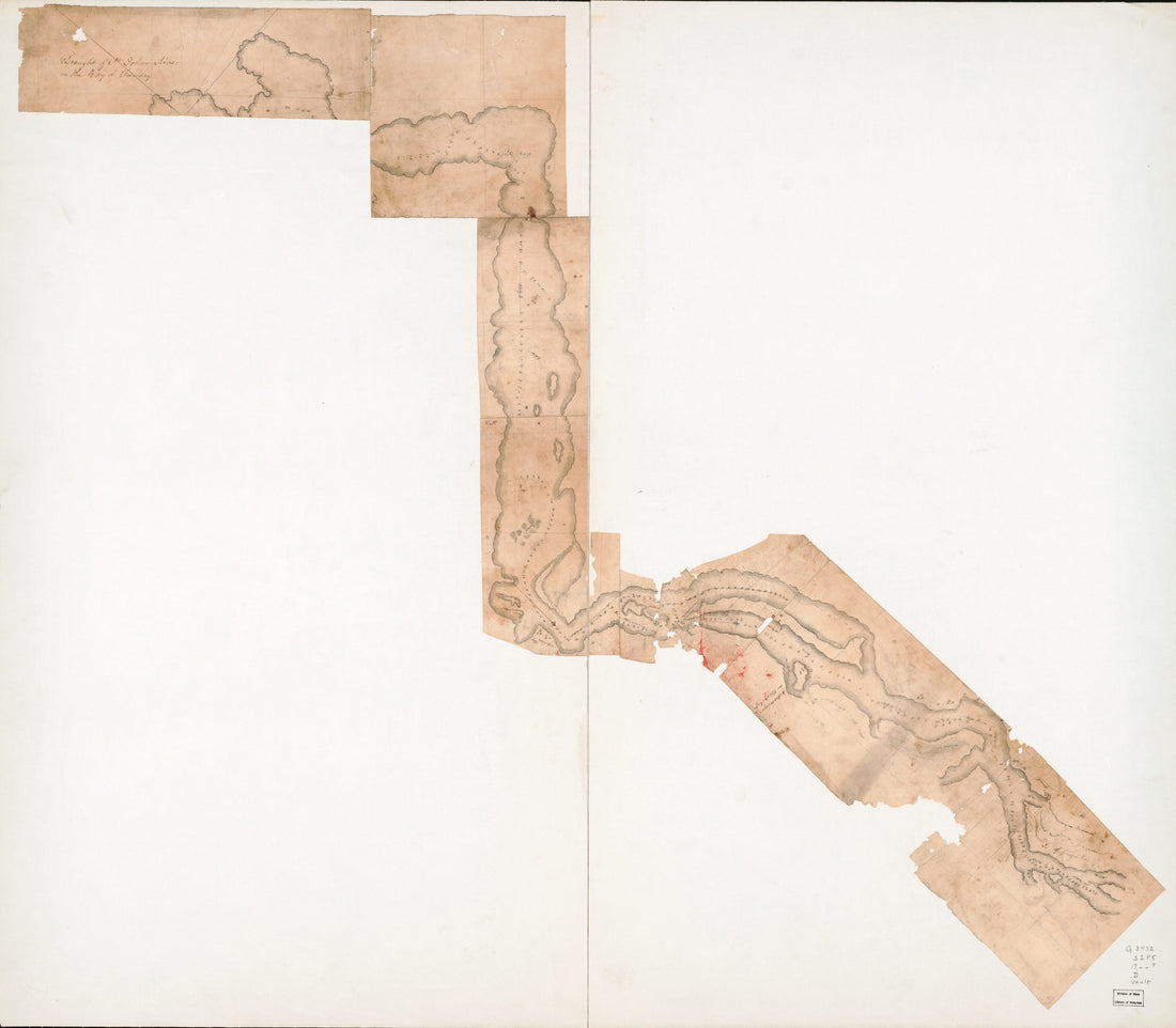 Draught of St. Johns River In the Bay of Funday in 1780Draught of St. Johns River In the Bay of Funday in 1780
- Regular price
-
$43.95 $162.95 - Regular price
-
$38.95 - Sale price
-
$43.95 $162.95
-
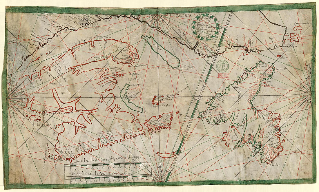
 Maritime Atlas 1500Maritime Atlas 1500
- Regular price
-
$39.95 $88.95 - Regular price
-
$34.95 - Sale price
-
$39.95 $88.95
-
 Map of the Island of Newfoundland, 1689Map of the Island of Newfoundland, 1689
- Regular price
-
$43.95 $99.95 - Regular price
-
$33.95 - Sale price
-
$43.95 $99.95
-
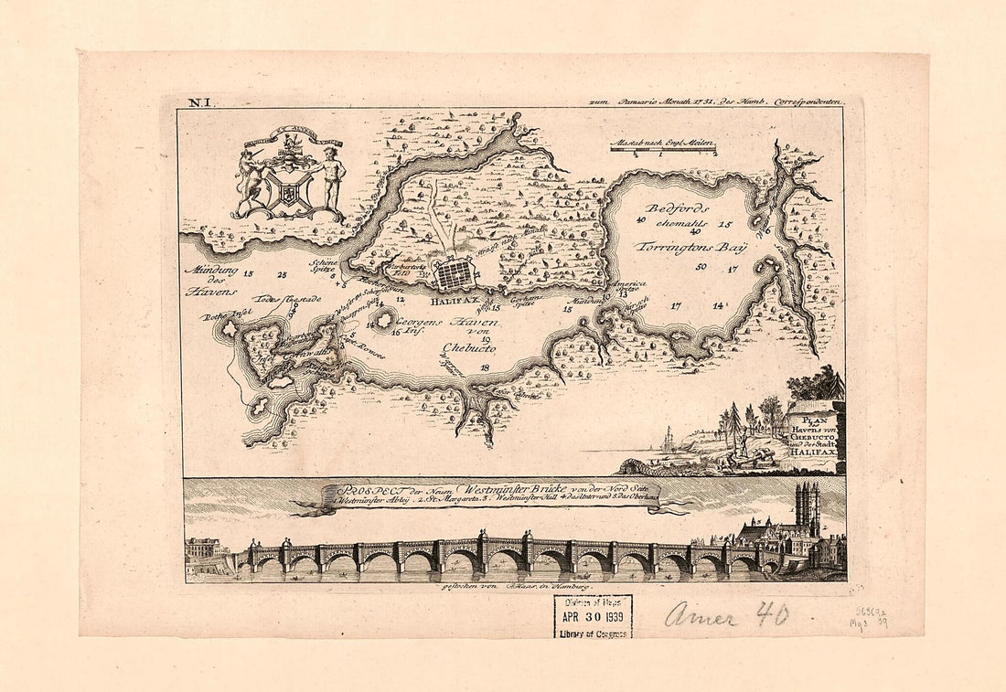 Plan Des Havens Von Chebucto Und Der Stadt Halifax 1751Plan Des Havens Von Chebucto Und Der Stadt Halifax 1751
- Regular price
-
$39.95 $99.95 - Regular price
-
$34.95 - Sale price
-
$39.95 $99.95
-
 Chart of the Head of Navigation of the Potomac River Shewing the Route of the Alexandria Canal : Made In Pursuance of a Resolution of the Alex'a Canal Company Oct. 1838Chart of the Head of Navigation of the Potomac River Shewing the Route of the Alexandria Canal : Made In Pursuance of a Resolution of the Alex'a Canal Company Oct. 1838
- Regular price
-
$46.95 $99.95 - Regular price
-
$41.95 - Sale price
-
$46.95 $99.95
-
 Maps of East and West Florida in 1781Maps of East and West Florida in 1781
- Regular price
-
$46.95 $220.95 - Regular price
-
$41.95 - Sale price
-
$46.95 $220.95
-
 The Harbor of Annapolis 1846The Harbor of Annapolis 1846
- Regular price
-
$43.95 $83.95 - Regular price
-
$33.95 - Sale price
-
$43.95 $83.95
-
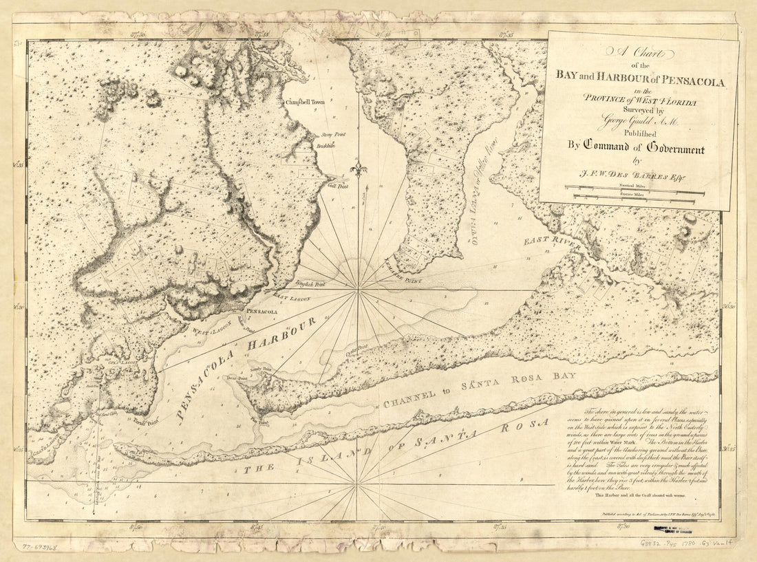 A Chart of the Bay and Harbour of Pensacola In the Province of West Florida 1780A Chart of the Bay and Harbour of Pensacola In the Province of West Florida 1780
- Regular price
-
$43.95 $88.95 - Regular price
-
$38.95 - Sale price
-
$43.95 $88.95
-
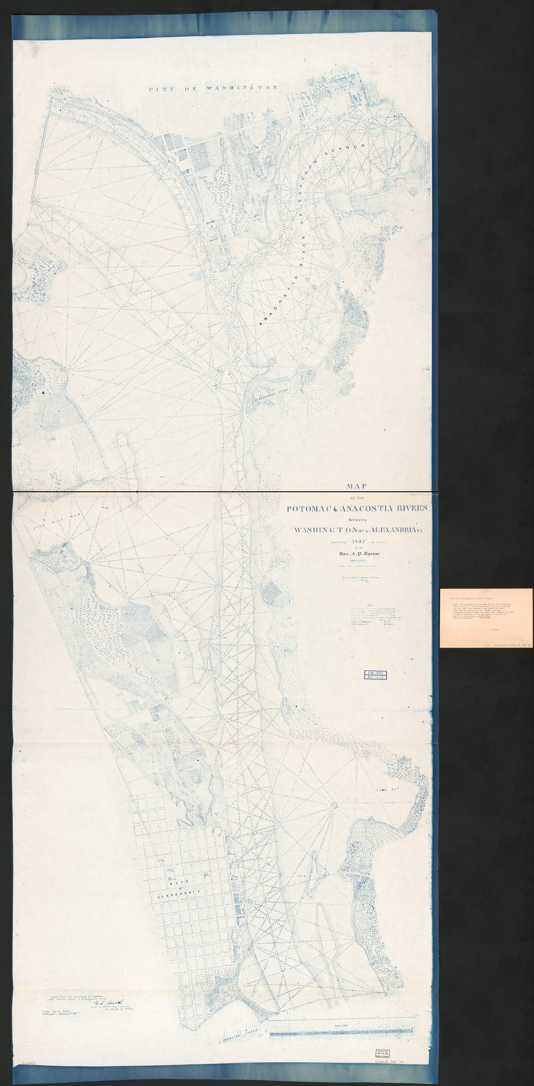 Map of the Potomac & Anacostia Rivers Between Washington D.C. & Alexandria Va in 1842Map of the Potomac & Anacostia Rivers Between Washington D.C. & Alexandria Va in 1842
- Regular price
-
$46.95 $319.95 - Regular price
-
$41.95 - Sale price
-
$46.95 $319.95


