457 products
-
The Atlantic Neptune 1800
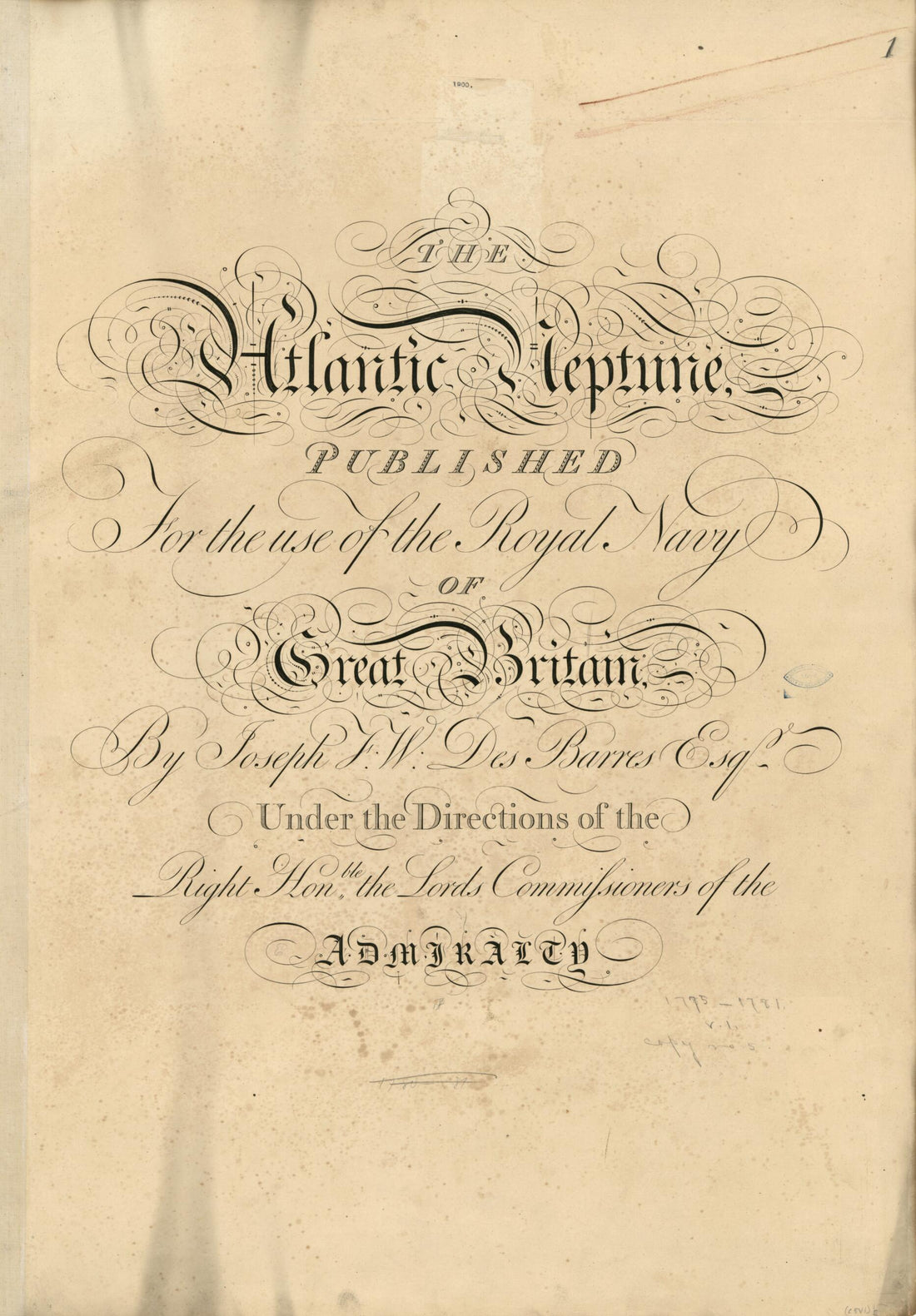 The Atlantic Neptune 1800
- Regular price
-
From
$41.95 - Regular price
-
$66.99 - Sale price
-
From
$41.95
-
The Atlantic Neptune, Published for the Use of the Royal Navy of Great Britain 1780
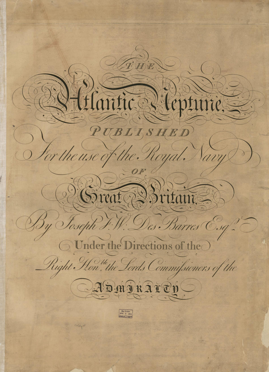 The Atlantic Neptune, Published for the Use of the Royal Navy of Great Britain 1780
- Regular price
-
From
$32.95 - Regular price
-
$51.99 - Sale price
-
From
$32.95
-
Map of the City and Bay of Cartagena De Las Indias. (Plano De La Cyudad Y Bahya De Cartagena De Las Yndias Situado a Los 300 Gs. 41 Ms De Longytud Prymer Merydo. El Pyco De Teneryfe Y 10 Grs 27 Ms. De Latytud Boreal En El Nuevo Reyno De Granada. Levan...
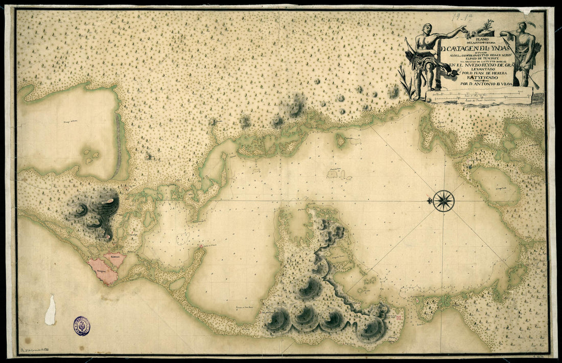 Map of the City and Bay of Cartagena De Las Indias. (Plano De La Cyudad Y Bahya De Cartagena De Las Yndias Situado a Los 300 Gs. 41 Ms De Longytud Prymer Merydo. El Pyco De Teneryfe Y 10 Grs 27 Ms. De Latytud Boreal En El Nuevo Reyno De Granada. Levan...
- Regular price
-
From
$19.95 - Regular price
-
$26.99 - Sale price
-
From
$19.95
-
Variations of the Compass for the Year 1925 1926
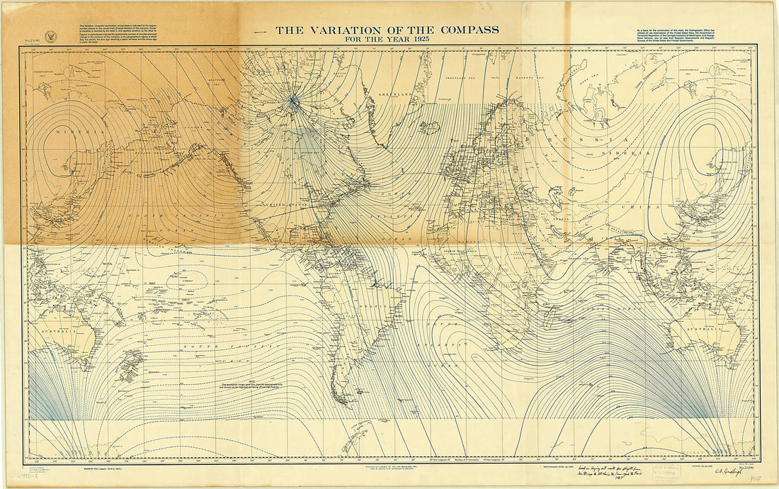 Variations of the Compass for the Year 1925 1926
- Regular price
-
From
$41.95 - Regular price
-
$66.99 - Sale price
-
From
$41.95
-
Neu Und Verbesserter Plan Der St. U. Hafens Havana Auf Der Ins. Cvba Mit Den Wasser Tiefen, Sand Bæncken Und Klippen Nochmahten übersehen V. Pr. Chassereau Anno 1739 1740
 Neu Und Verbesserter Plan Der St. U. Hafens Havana Auf Der Ins. Cvba Mit Den Wasser Tiefen, Sand Bæncken Und Klippen Nochmahten übersehen V. Pr. Chassereau Anno 1739 1740
- Regular price
-
From
$19.95 - Regular price
-
$29.95 - Sale price
-
From
$19.95
-
L'hydrographie Françoise : Recueil Des Cartes Générales Et Particulières Qui Ont éte Faites Pour Le Service Des Vaisseaux Du Roy, Par Ordre Des Ministres De La Marine, Depuis in 1737, Jusqu'en 1765
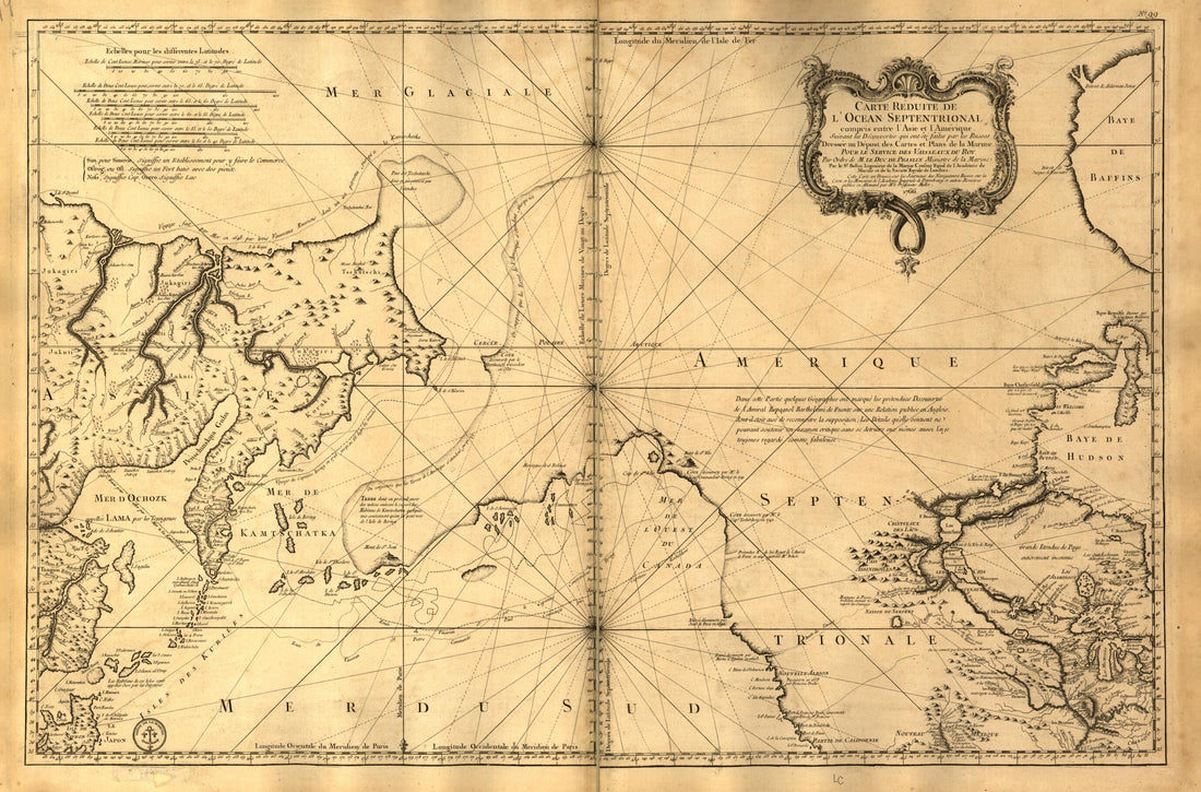 L'hydrographie Françoise : Recueil Des Cartes Générales Et Particulières Qui Ont éte Faites Pour Le Service Des Vaisseaux Du Roy, Par Ordre Des Ministres De La Marine, Depuis in 1737, Jusqu'en 1765
- Regular price
-
From
$41.95 - Regular price
-
$66.99 - Sale price
-
From
$41.95
-
A Plan of the Harbour of Chebucto and Town of Halifax 1750
 A Plan of the Harbour of Chebucto and Town of Halifax 1750
- Regular price
-
From
$19.95 - Regular price
-
$29.95 - Sale price
-
From
$19.95
-
A Map of the Harbour of Louisburg and Parts Adjacent 1758
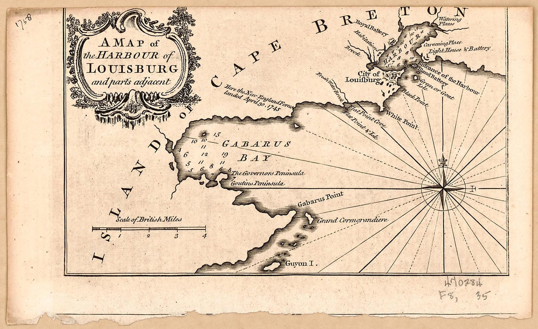 A Map of the Harbour of Louisburg and Parts Adjacent 1758
- Regular price
-
From
$19.95 - Regular price
-
$29.95 - Sale price
-
From
$19.95
-
Chart of the North Polar Sea 1855
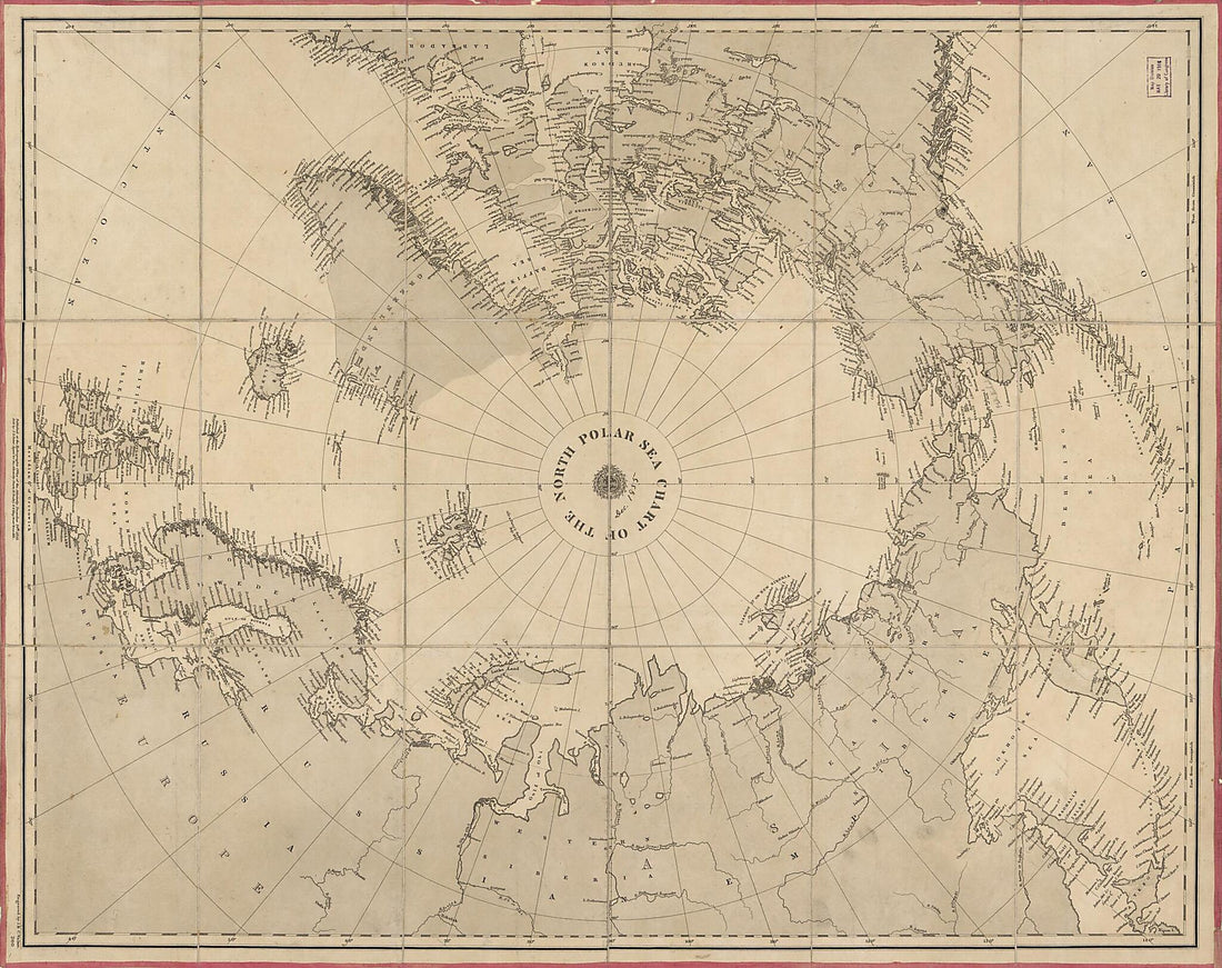 Chart of the North Polar Sea 1855
- Regular price
-
From
$34.95 - Regular price
-
$49.99 - Sale price
-
From
$34.95
-
Atlas of Joan Martines. (Atlas De Joan Martines) 1587
 Atlas of Joan Martines. (Atlas De Joan Martines) 1587
- Regular price
-
From
$32.95 - Regular price
-
$51.99 - Sale price
-
From
$32.95
-
Map of the Atlantic Ocean, in 1601
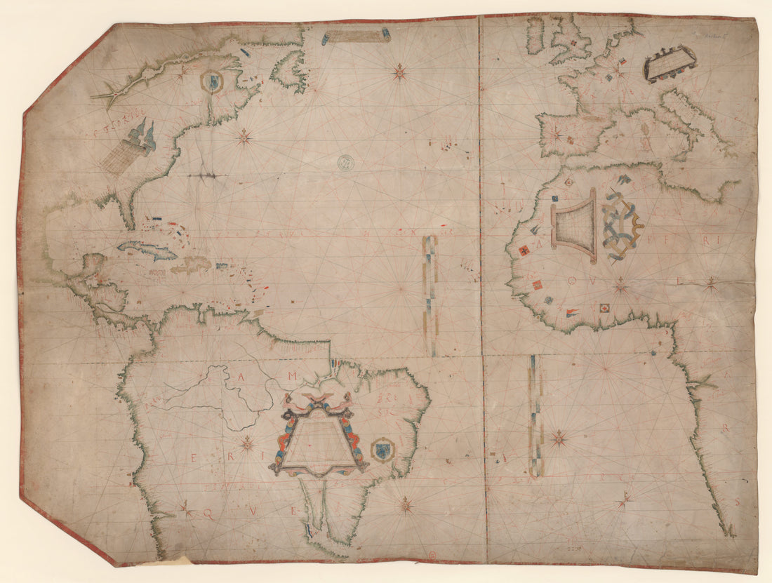 Map of the Atlantic Ocean, in 1601
- Regular price
-
From
$32.95 - Regular price
-
$51.99 - Sale price
-
From
$32.95
-
India Pilot. Containing Piloting Directions for Port Royal Harbour In Jamaica, In and Out Through the Kays ... the Whole Illustrated With a Number of Copper Plates, Finished by the Best Hands, Describing the Ports and Bays ... With the True Soundings ...
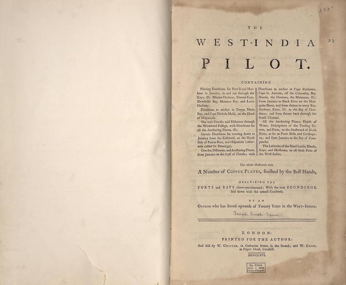 India Pilot. Containing Piloting Directions for Port Royal Harbour In Jamaica, In and Out Through the Kays ... the Whole Illustrated With a Number of Copper Plates, Finished by the Best Hands, Describing the Ports and Bays ... With the True Soundings ...
- Regular price
-
From
$34.95 - Regular price
-
$49.99 - Sale price
-
From
$34.95


