767 products
-
Distance Map United States, Mexico and Canada. (New Railroad Distance and Air Route Map of United States, Canada and Mexico) 1919
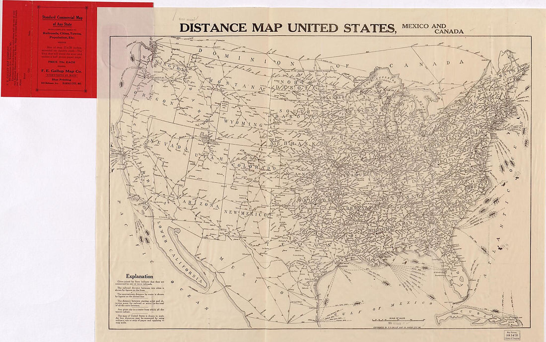 Distance Map United States, Mexico and Canada. (New Railroad Distance and Air Route Map of United States, Canada and Mexico) 1919
- Regular price
-
From
$41.95 - Regular price
-
$66.99 - Sale price
-
From
$41.95
-
Map Showing the Port Royal Railroad and Its Connections in 1870
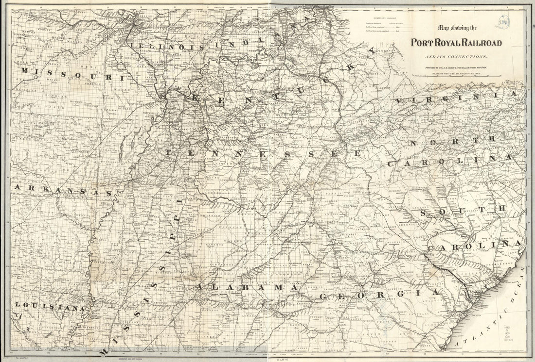 Map Showing the Port Royal Railroad and Its Connections in 1870
- Regular price
-
From
$41.95 - Regular price
-
$66.99 - Sale price
-
From
$41.95
-
Map of New Jersey and Pennsylvania Exhibiting the Post Offices, Post Roads, Canals, Railroads, & C in 1839
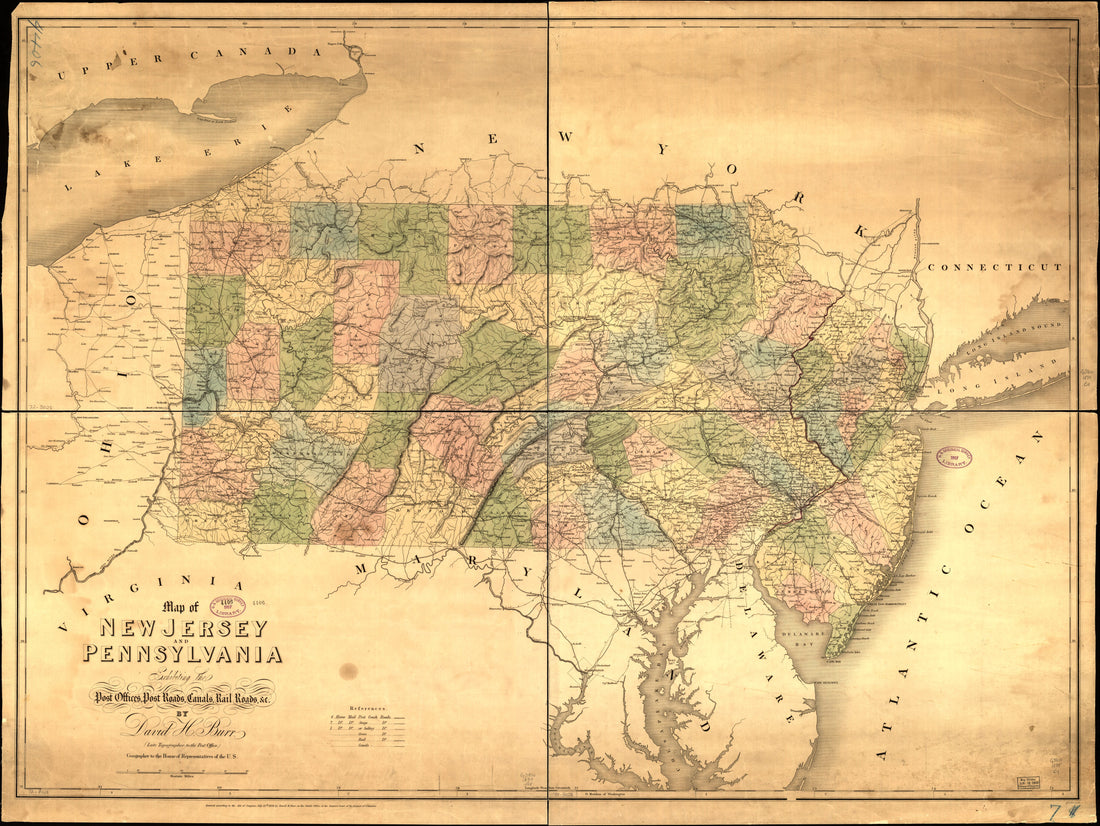 Map of New Jersey and Pennsylvania Exhibiting the Post Offices, Post Roads, Canals, Railroads, & C in 1839
- Regular price
-
From
$32.95 - Regular price
-
$51.99 - Sale price
-
From
$32.95
-
Map of the Sunbury and Erie Rail Road and Its Connections in 1850
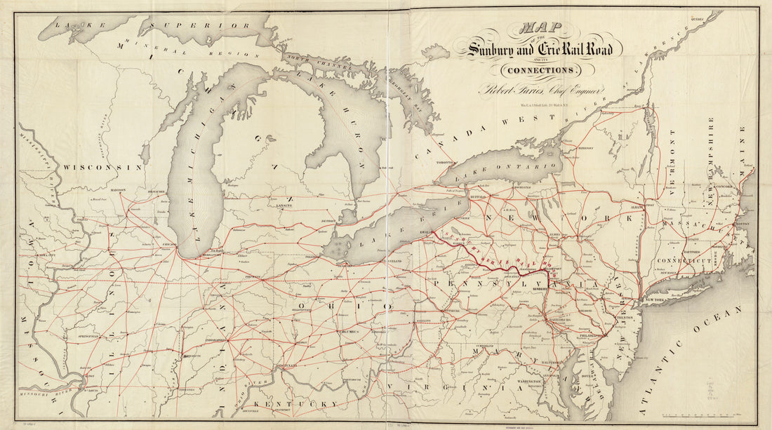 Map of the Sunbury and Erie Rail Road and Its Connections in 1850
- Regular price
-
From
$41.95 - Regular price
-
$66.99 - Sale price
-
From
$41.95
-
Denver and Rio Grande Railway System, in 1886
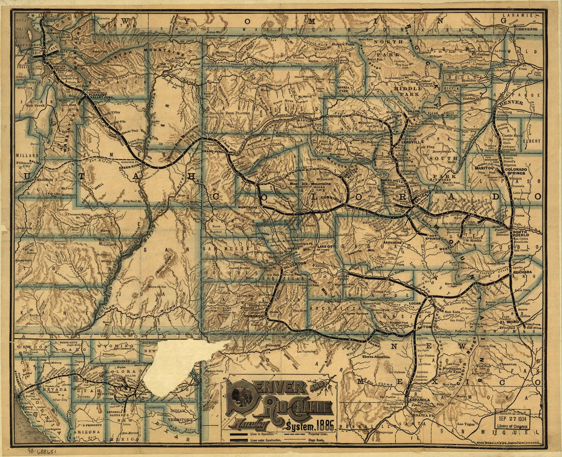 Denver and Rio Grande Railway System, in 1886
- Regular price
-
From
$28.95 - Regular price
-
$45.95 - Sale price
-
From
$28.95
-
Map Showing the Proposed Tennessee, Alabama, and Georgia Railroad Connecting and Extending the Chattanooga Southern Railway, Marietta and North Georgia Railway, Knoxville, Cumberland Gap and Louisville Railroad, and Morristown and Cumberland Gap Railr...
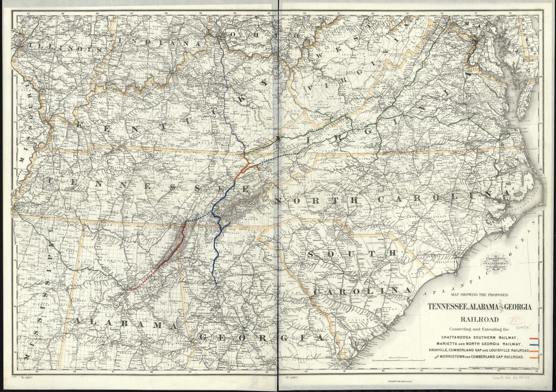 Map Showing the Proposed Tennessee, Alabama, and Georgia Railroad Connecting and Extending the Chattanooga Southern Railway, Marietta and North Georgia Railway, Knoxville, Cumberland Gap and Louisville Railroad, and Morristown and Cumberland Gap Railr...
- Regular price
-
From
$41.95 - Regular price
-
$66.99 - Sale price
-
From
$41.95
-
Explorations and Surveys for a Rail Road Route From the Mississippi River to the Pacific Ocean. Route Near the 38th & 39th Parallels in 1855
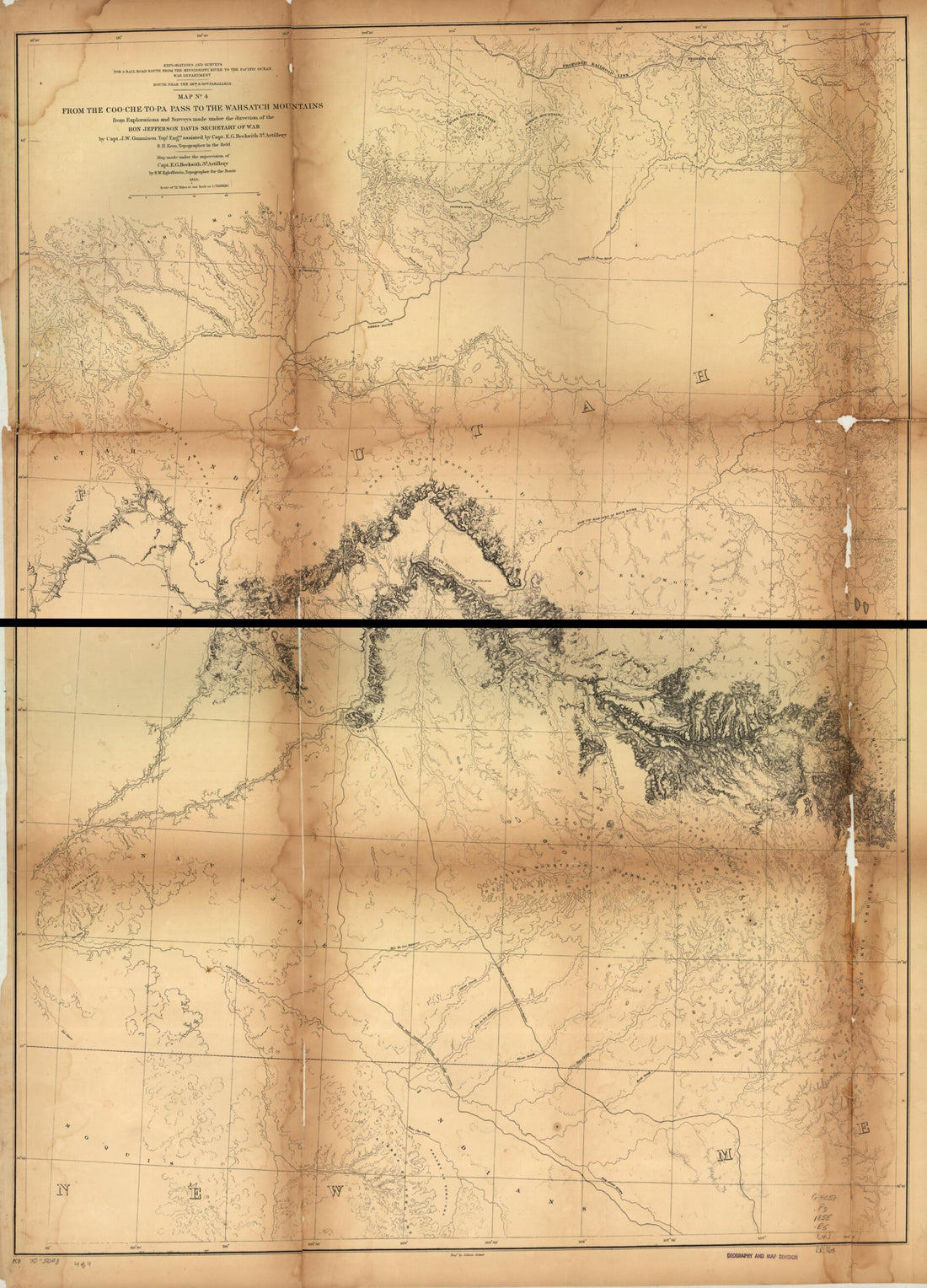 Explorations and Surveys for a Rail Road Route From the Mississippi River to the Pacific Ocean. Route Near the 38th & 39th Parallels in 1855
- Regular price
-
From
$32.95 - Regular price
-
$51.99 - Sale price
-
From
$32.95
-
Railroad & Township Map of Ohio in 1854
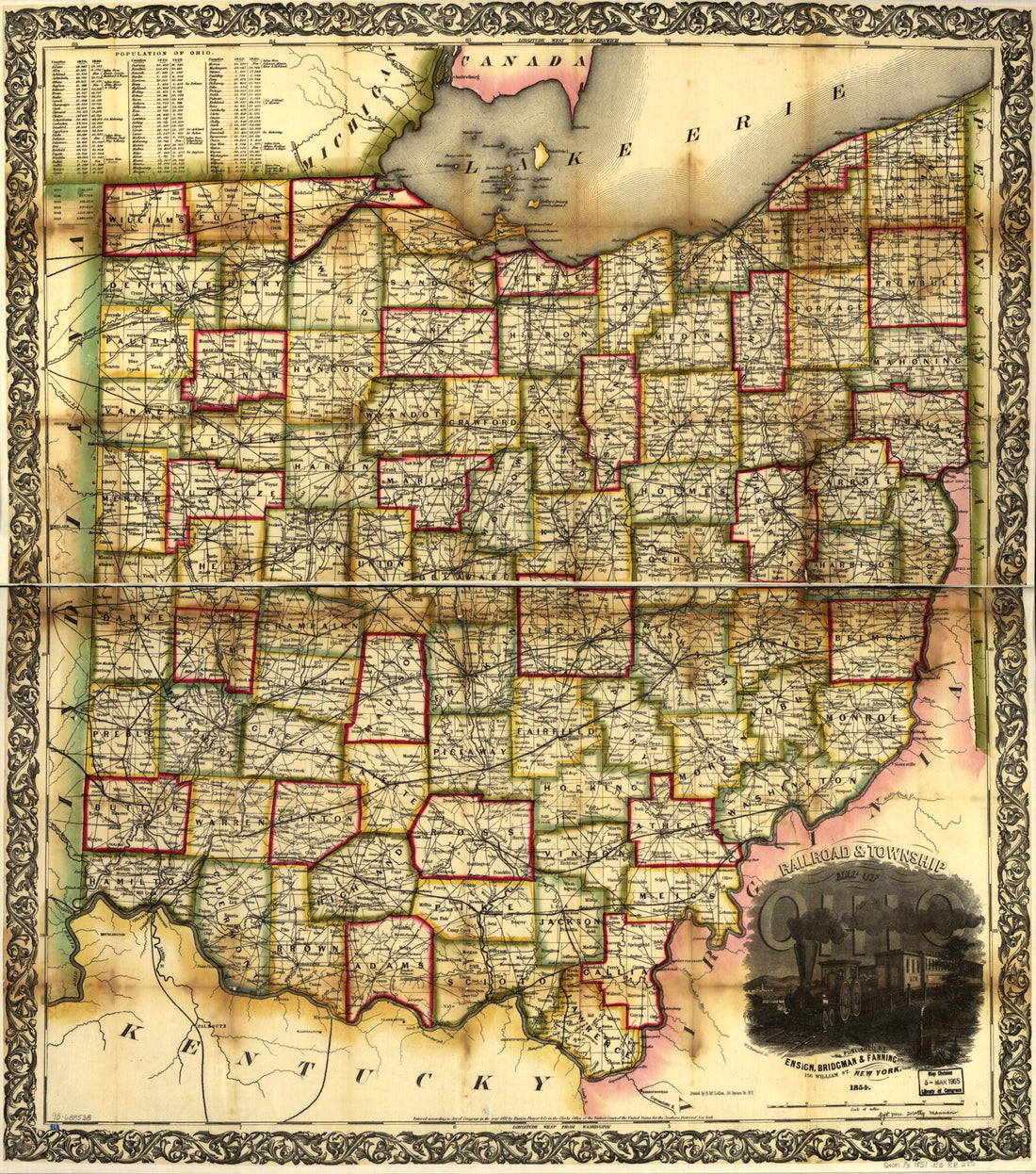 Railroad & Township Map of Ohio in 1854
- Regular price
-
From
$34.95 - Regular price
-
$49.99 - Sale price
-
From
$34.95
-
New Commercial and Topographical Rail Road Map & Guide of Missouri in 1872
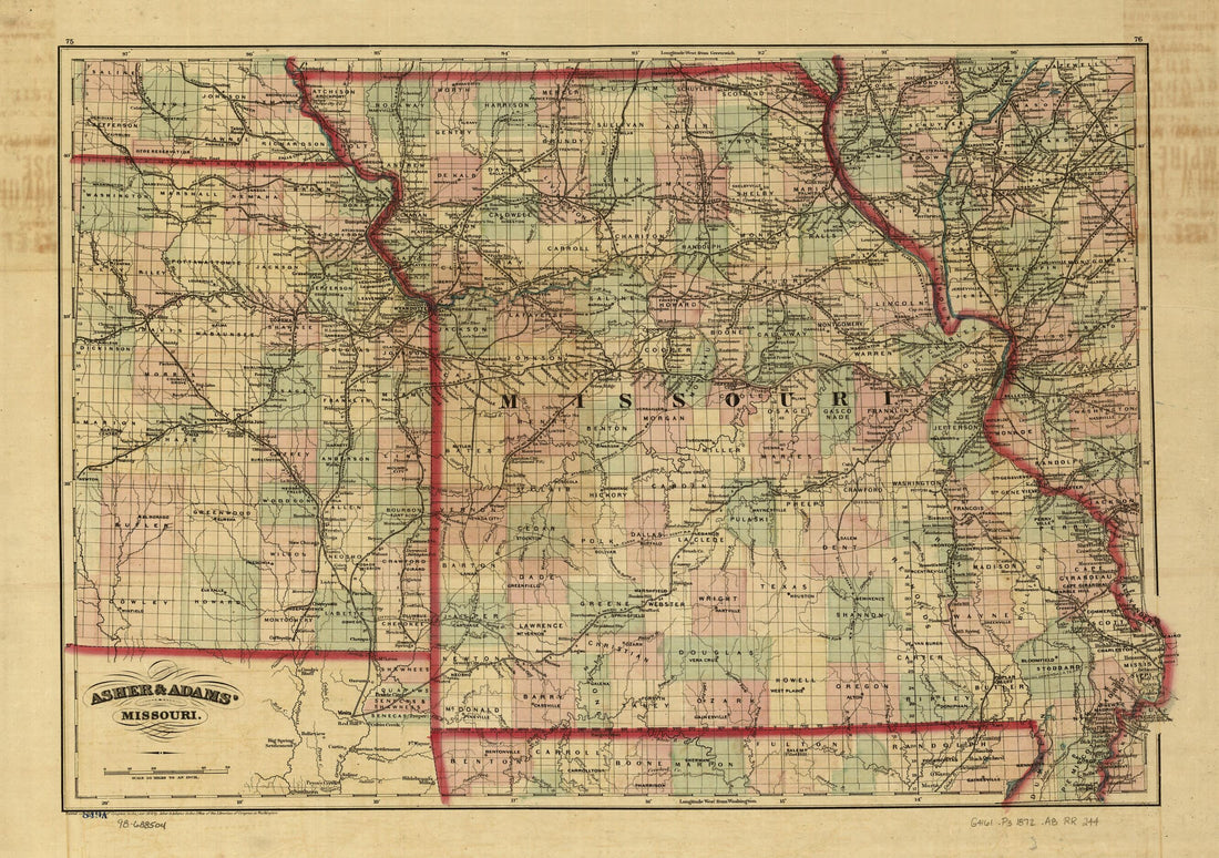 New Commercial and Topographical Rail Road Map & Guide of Missouri in 1872
- Regular price
-
From
$41.95 - Regular price
-
$66.99 - Sale price
-
From
$41.95
-
Map of the Electric Railways of the State of Massachusetts Accompanying the Report of the Railroad Commissioners, 1899
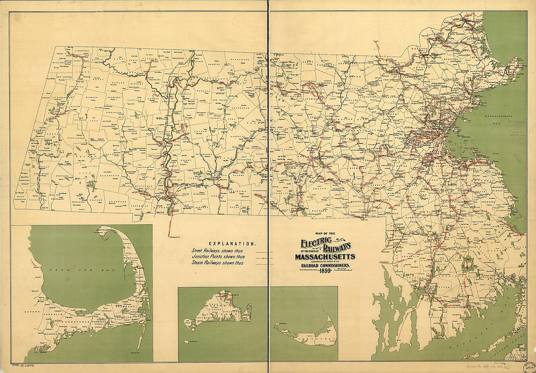 Map of the Electric Railways of the State of Massachusetts Accompanying the Report of the Railroad Commissioners, 1899
- Regular price
-
From
$41.95 - Regular price
-
$66.99 - Sale price
-
From
$41.95
-
New Railway Map and Guide of New York, Pennsylvania and New Jersey With Parts of Adjoining States and Canada, 1881
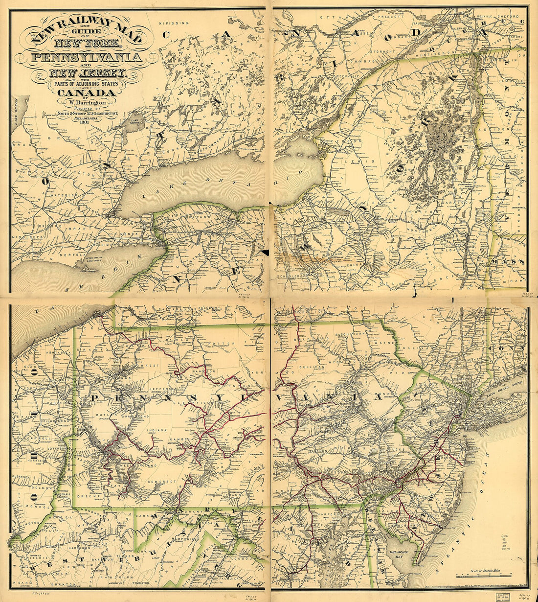 New Railway Map and Guide of New York, Pennsylvania and New Jersey With Parts of Adjoining States and Canada, 1881
- Regular price
-
From
$34.95 - Regular price
-
$49.99 - Sale price
-
From
$34.95
-
Map Showing the Line of the Milwaukee & St. Paul Railroad and Its Western and North Western Connections 1865
 Map Showing the Line of the Milwaukee & St. Paul Railroad and Its Western and North Western Connections 1865
- Regular price
-
From
$34.95 - Regular price
-
$49.99 - Sale price
-
From
$34.95


