949 products
-
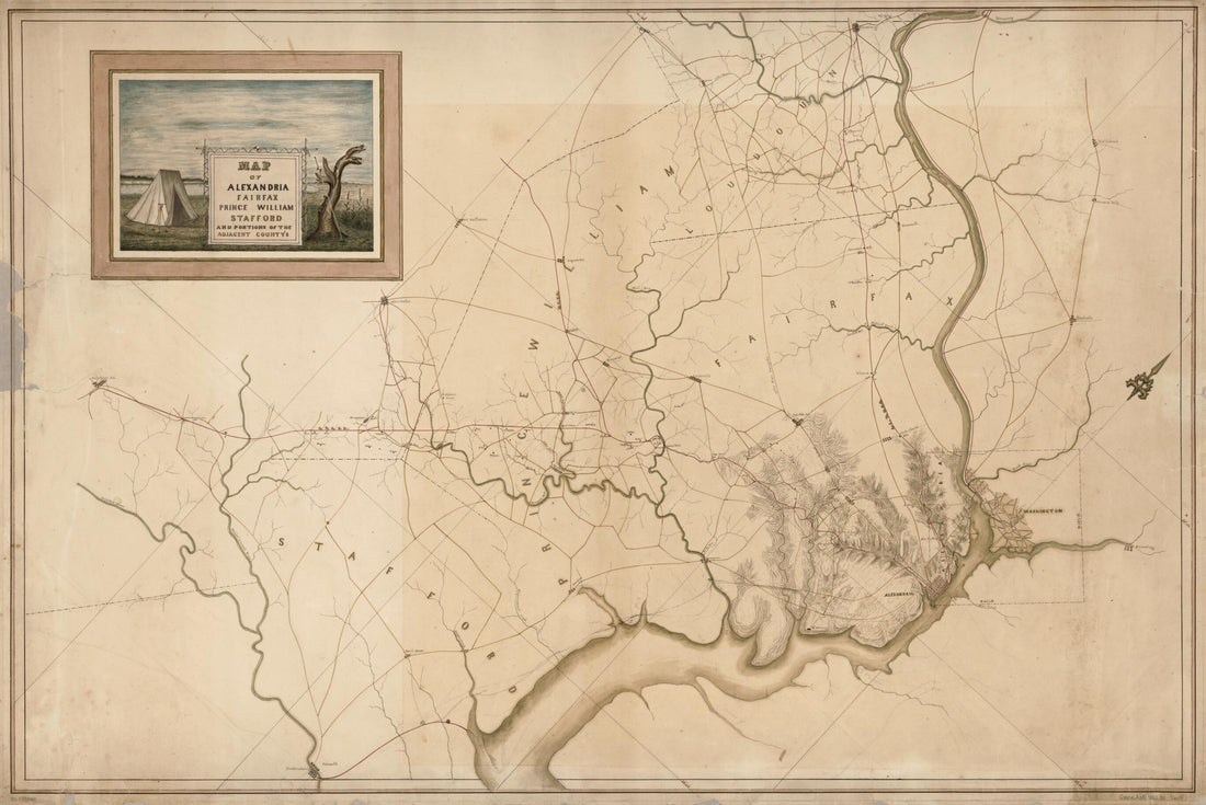 Map of Alexandria, Fairfax, Prince William, Stafford, and Portions of the Adjacent County's sic 1860Map of Alexandria, Fairfax, Prince William, Stafford, and Portions of the Adjacent County's sic 1860
- Regular price
-
$46.95 $106.95 - Regular price
-
$41.95 - Sale price
-
$46.95 $106.95
-
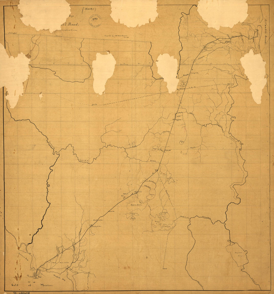
 Sketch Map of the Tehuantepec Railroad in 1851Sketch Map of the Tehuantepec Railroad in 1851
- Regular price
-
$46.95 $325.95 - Regular price
-
$41.95 - Sale price
-
$46.95 $325.95
-
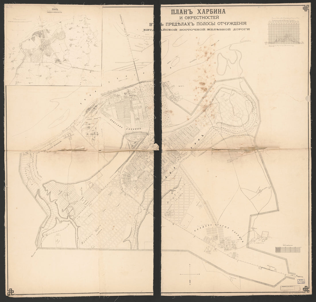 Plan Kharbina I Okrestnosteĭ : V Predi︠e︡lakh Polosy Otchuzhdenīi︠a︡ Kitaĭskoĭ Vostochnoĭ Zheli︠e︡znoĭ Dorogi in 1903Plan Kharbina I Okrestnosteĭ : V Predi︠e︡lakh Polosy Otchuzhdenīi︠a︡ Kitaĭskoĭ Vostochnoĭ Zheli︠e︡znoĭ Dorogi in 1903
- Regular price
-
$43.95 $206.95 - Regular price
-
$38.95 - Sale price
-
$43.95 $206.95
-
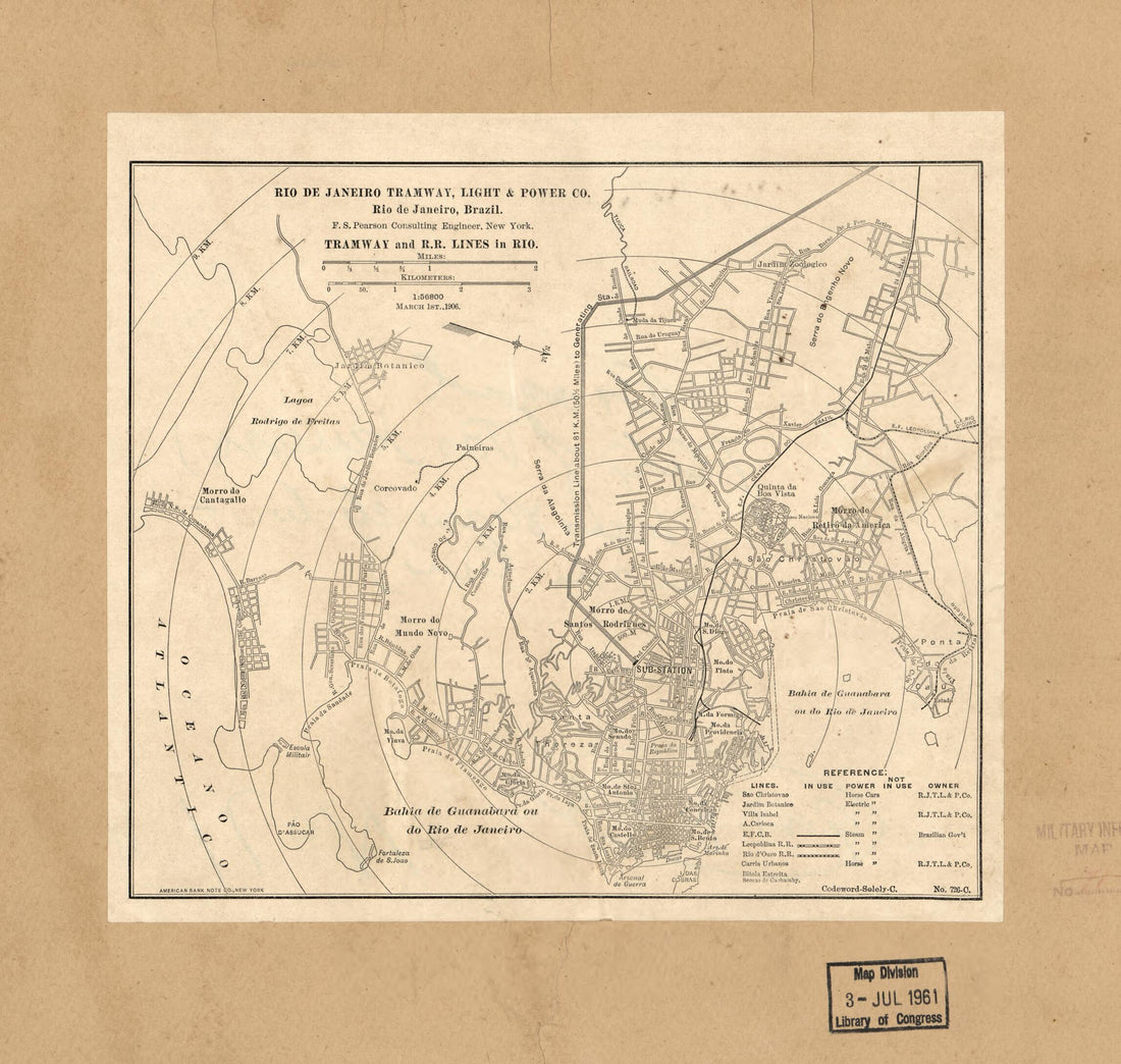 Rio De Janeiro Tramway, Light & Power Co., Rio De Janeiro, Brazil : Tramway and R.R. Lines In Rio (Rio De Janeiro Tramway, Light and Power Company, Rio De Janeiro, Brazil, Tramway and R.R. Lines In Rio, Tramway and Railroad Lines In Rio) 1906Rio De Janeiro Tramway, Light & Power Co., Rio De Janeiro, Brazil : Tramway and R.R. Lines In Rio (Rio De Janeiro Tramway, Light and Power Company, Rio De Janeiro, Brazil, Tramway and R.R. Lines In Rio, Tramway and Railroad Lines In Rio) 1906
- Regular price
-
$39.95 $83.95 - Regular price
-
$34.95 - Sale price
-
$39.95 $83.95
-
 Map of the Virginia, Kentucky, and Ohio Railroad Connecting the Railroads of Virginia With the Railroads of Kentucky On the Shortest Route East and West from the Mississippi Valley to the Atlantic Ocean 1881Map of the Virginia, Kentucky, and Ohio Railroad Connecting the Railroads of Virginia With the Railroads of Kentucky On the Shortest Route East and West from the Mississippi Valley to the Atlantic Ocean 1881
- Regular price
-
$43.95 $150.95 - Regular price
-
$38.95 - Sale price
-
$43.95 $150.95
-
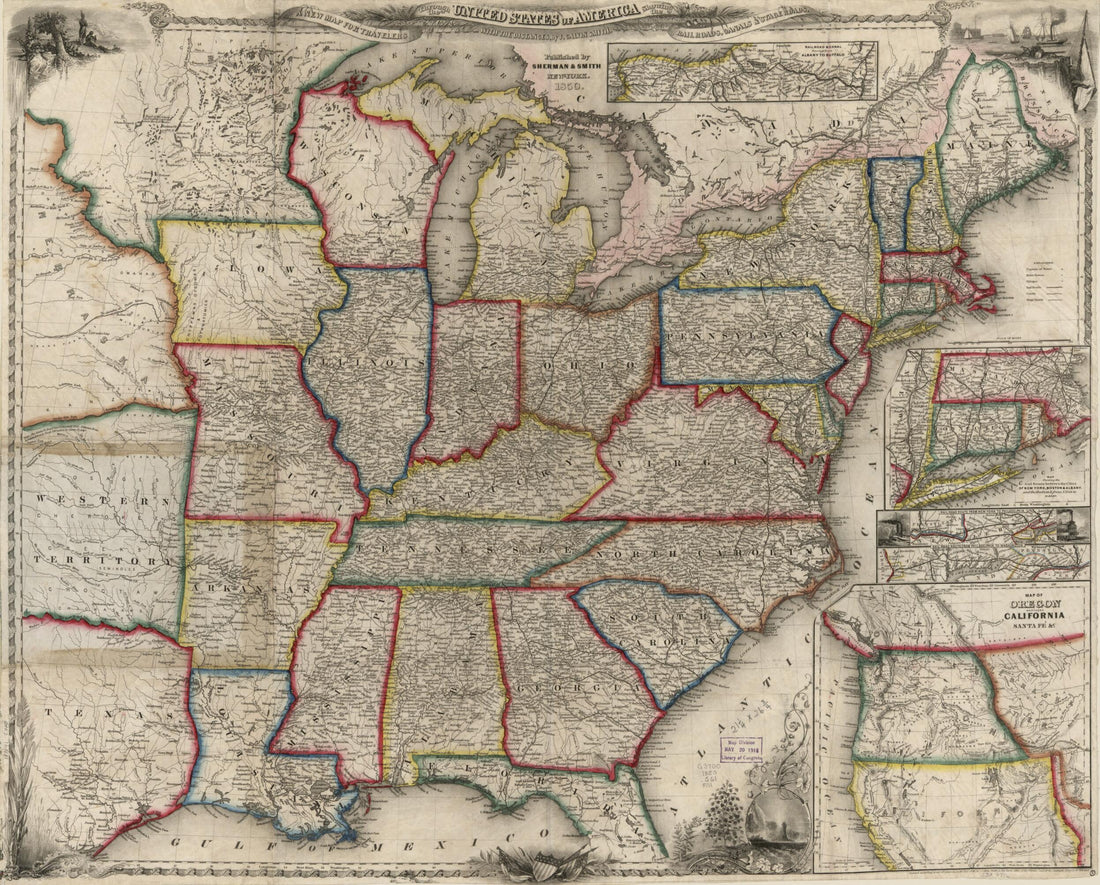 A New Map for Travellers Through the United States of America Showing the Railways, Canals & Stage Roads, With the Distances 1850A New Map for Travellers Through the United States of America Showing the Railways, Canals & Stage Roads, With the Distances 1850
- Regular price
-
$43.95 $83.95 - Regular price
-
$38.95 - Sale price
-
$43.95 $83.95
-
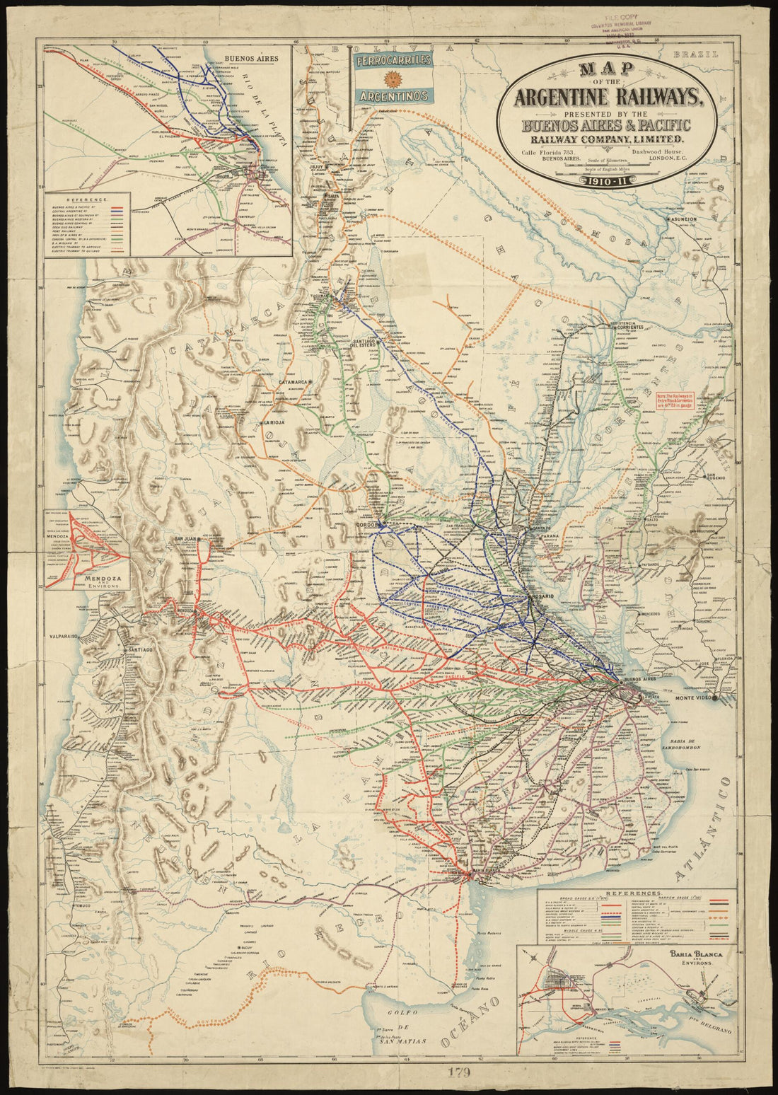 Map of the Argentine Railways 1911Map of the Argentine Railways 1911
- Regular price
-
$43.95 $195.95 - Regular price
-
$38.95 - Sale price
-
$43.95 $195.95
-
 Map Showing Proposed Routes of the Richmond and Southwest Railway 1875Map Showing Proposed Routes of the Richmond and Southwest Railway 1875
- Regular price
-
$46.95 $99.95 - Regular price
-
$41.95 - Sale price
-
$46.95 $99.95
-
 Map of Larimer County, Colorado : A.D. 1883 : Showing Public Roads, Irrigating Canals, Rail Roads, Road Districts, School Districts, Voting Precincts, and Complete Topography (Map A.D. 1883 of Larimer County, Colorado) 1884Map of Larimer County, Colorado : A.D. 1883 : Showing Public Roads, Irrigating Canals, Rail Roads, Road Districts, School Districts, Voting Precincts, and Complete Topography (Map A.D. 1883 of Larimer County, Colorado) 1884
- Regular price
-
$43.95 $83.95 - Regular price
-
$38.95 - Sale price
-
$43.95 $83.95
-
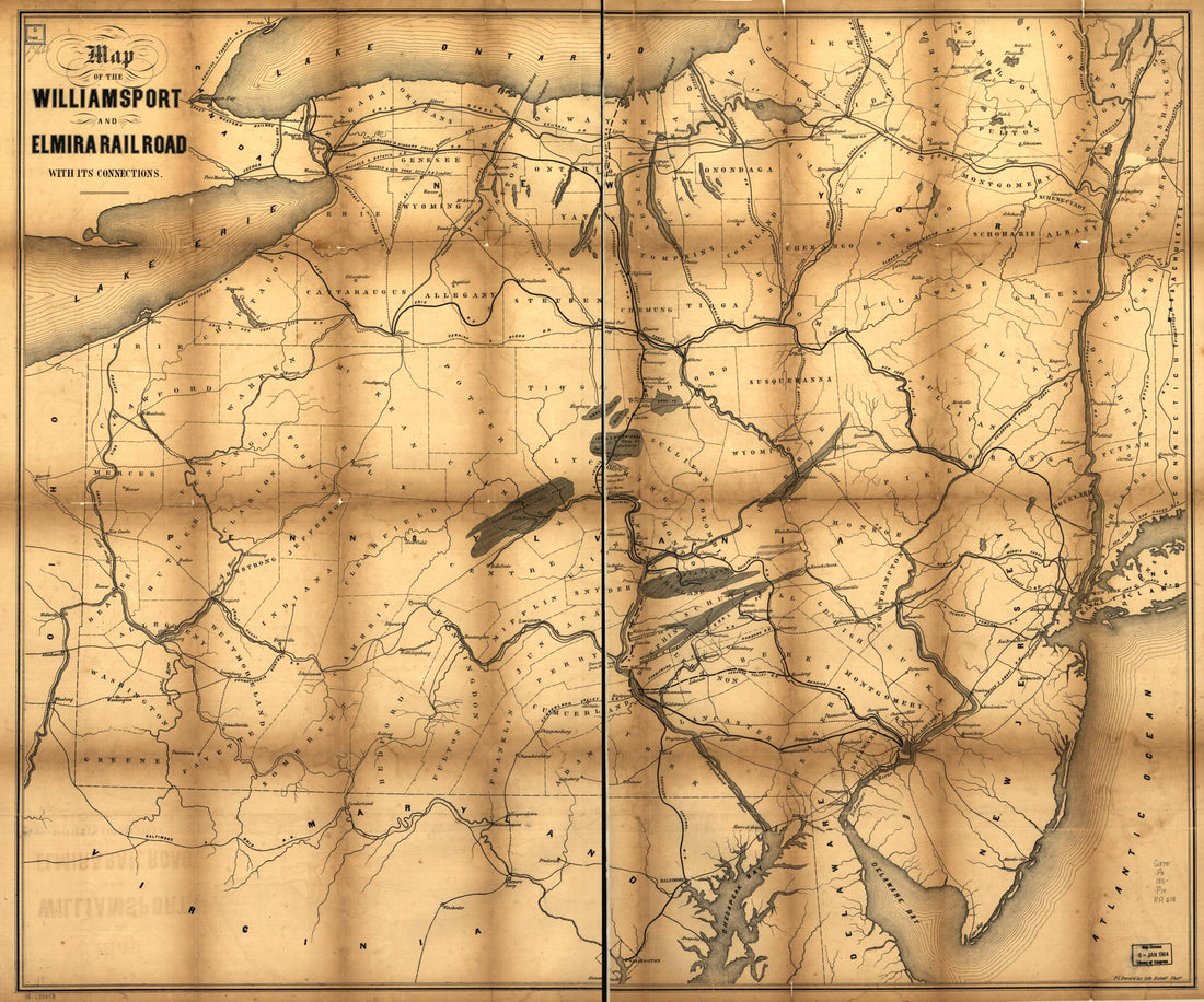 Map of the Williamsport and Elmira Railroad With Its Connections 1850Map of the Williamsport and Elmira Railroad With Its Connections 1850
- Regular price
-
$43.95 $135.95 - Regular price
-
$38.95 - Sale price
-
$43.95 $135.95
-
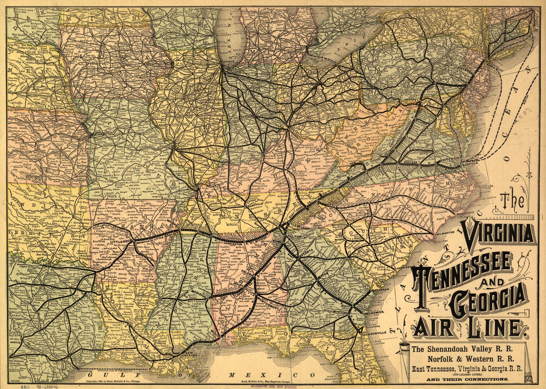 The Virginia, Tennessee, and Georgia Air Line; the Shenandoah Valley R.R.; Norfolk & Western R.R.; East Tennessee, Virginia, & Georgia R.R. (its Leased Lines,) and Their Connections 1882The Virginia, Tennessee, and Georgia Air Line; the Shenandoah Valley R.R.; Norfolk & Western R.R.; East Tennessee, Virginia, & Georgia R.R. (its Leased Lines,) and Their Connections 1882
- Regular price
-
$41.95 $88.95 - Regular price
-
$36.95 - Sale price
-
$41.95 $88.95
-
 Sketch Map of Northeastern Florida Showing the Florida Railroad and Proposed Connections Jan. 1860Sketch Map of Northeastern Florida Showing the Florida Railroad and Proposed Connections Jan. 1860
- Regular price
-
$43.95 $83.95 - Regular price
-
$38.95 - Sale price
-
$43.95 $83.95


