457 products
-
The Atlantic Neptune 1800
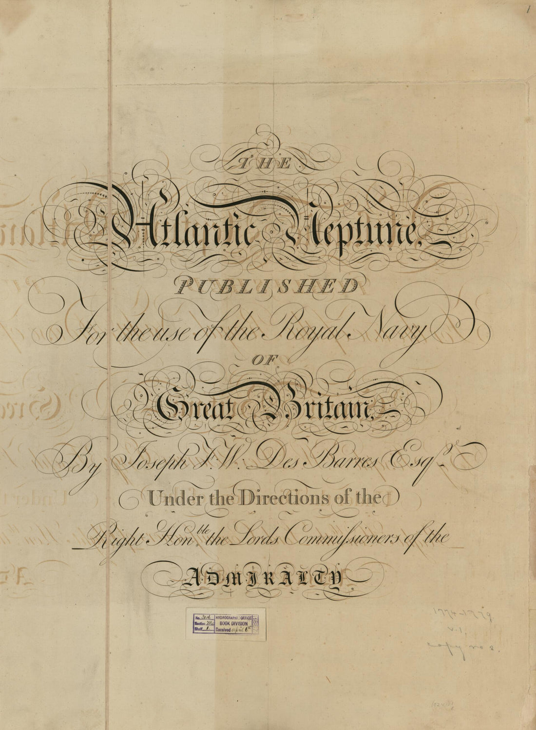 The Atlantic Neptune 1800
- Regular price
-
From
$32.95 - Regular price
-
$51.99 - Sale price
-
From
$32.95
-
Map of the North Atlantic Ocean, 1674
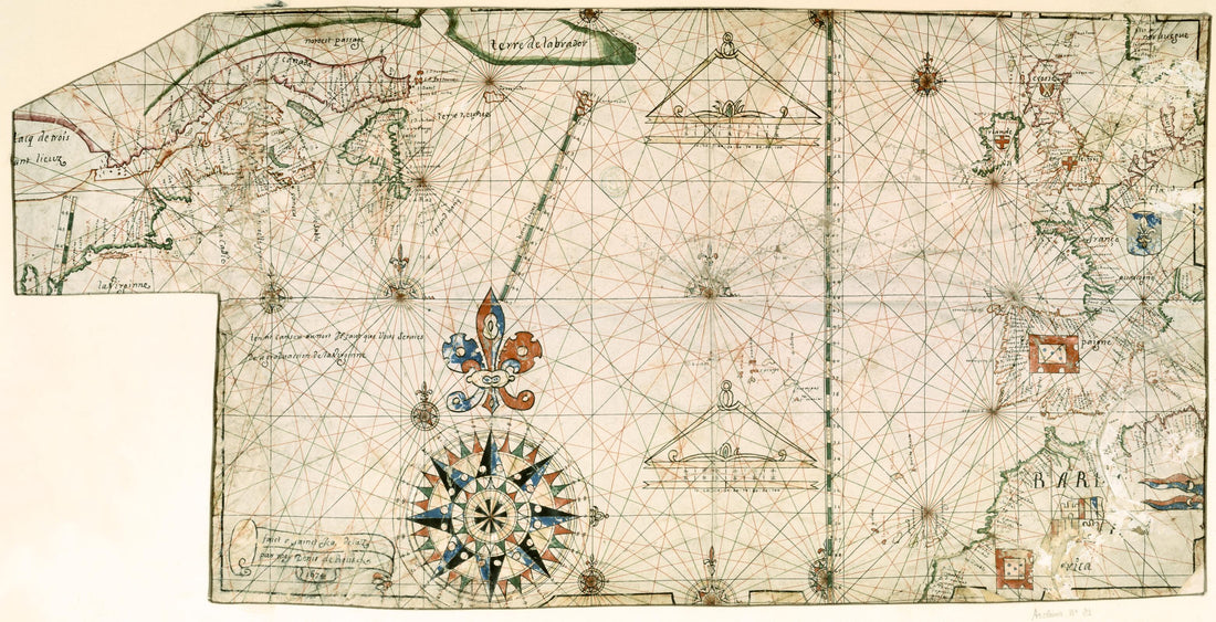 Map of the North Atlantic Ocean, 1674
- Regular price
-
From
$41.95 - Regular price
-
$66.99 - Sale price
-
From
$41.95
-
A New General Chart of the West Indies, from the Latest Marine Journals and Surveys; Regulated and Ascertained by Astronomical Observations. I, the Subscriber, Do Certify That I Have Carefully Examined This Chart Copied from a London Publication Agree...
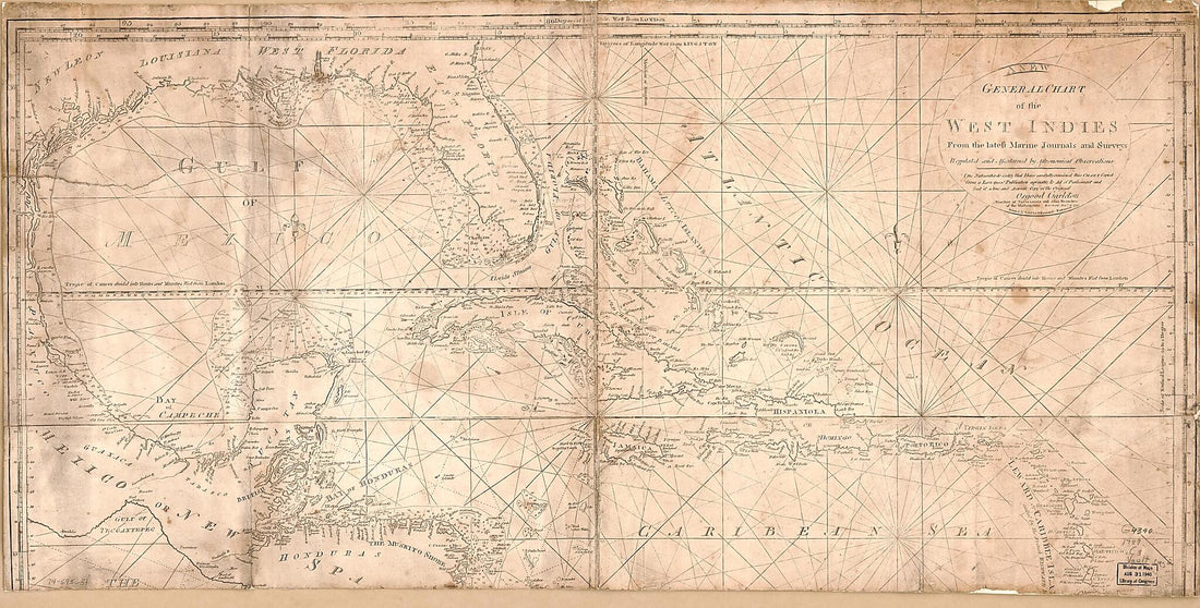 A New General Chart of the West Indies, from the Latest Marine Journals and Surveys; Regulated and Ascertained by Astronomical Observations. I, the Subscriber, Do Certify That I Have Carefully Examined This Chart Copied from a London Publication Agree...
- Regular price
-
From
$41.95 - Regular price
-
$66.99 - Sale price
-
From
$41.95
-
American Pilot for New England, New York, Pensilvania, Maryland, and Virginia; Also, the Two Carolinas, and Florida 1777
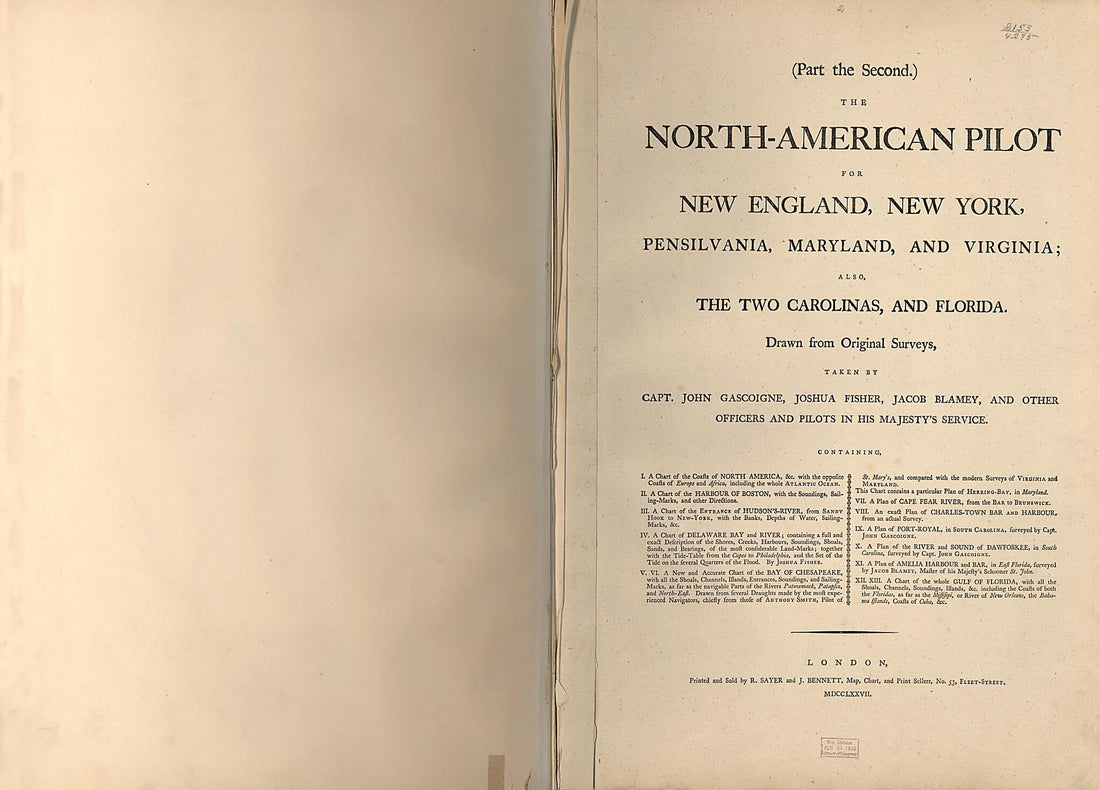 American Pilot for New England, New York, Pensilvania, Maryland, and Virginia; Also, the Two Carolinas, and Florida 1777
- Regular price
-
From
$32.95 - Regular price
-
$51.99 - Sale price
-
From
$32.95
-
Spherical Map That Shows the North of the Santo Domingo Island and the Eastern Part of Canal Viejo of Bahamas. (Carta Esferica Que Comprehende Los Desemboques Al Norte De La Isla De Sto Domingo Y La Parte Oriental Del Canal Viejo De Bahama) 1802
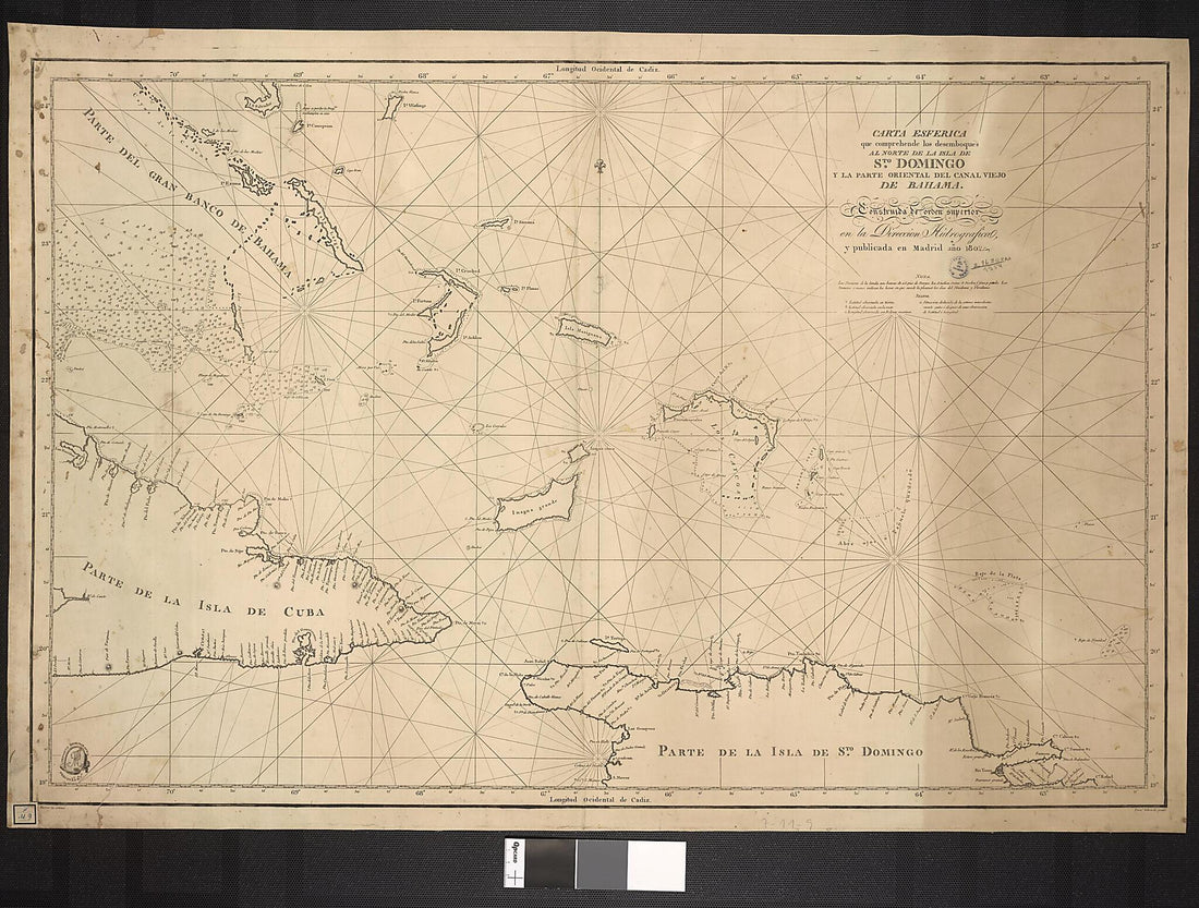 Spherical Map That Shows the North of the Santo Domingo Island and the Eastern Part of Canal Viejo of Bahamas. (Carta Esferica Que Comprehende Los Desemboques Al Norte De La Isla De Sto Domingo Y La Parte Oriental Del Canal Viejo De Bahama) 1802
- Regular price
-
From
$32.95 - Regular price
-
$51.99 - Sale price
-
From
$32.95
-
The Atlantic Neptune, Published for the Use of the Royal Navy of Great Britain 1779
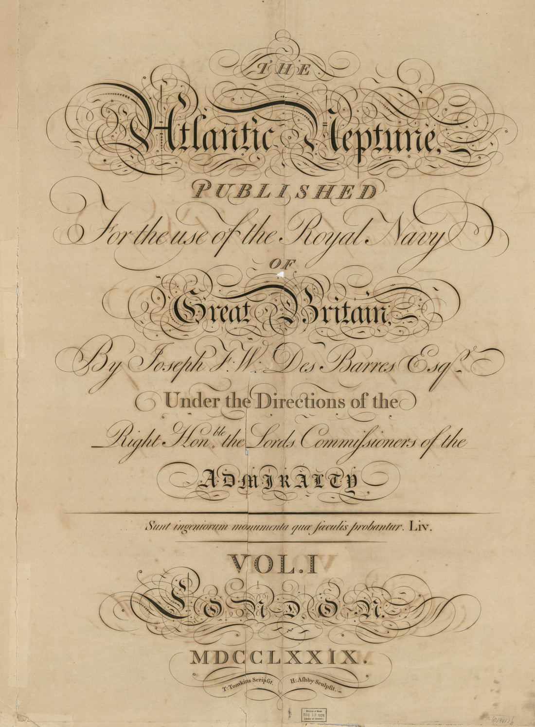 The Atlantic Neptune, Published for the Use of the Royal Navy of Great Britain 1779
- Regular price
-
From
$32.95 - Regular price
-
$51.99 - Sale price
-
From
$32.95
-
The Atlantic Neptune 1800
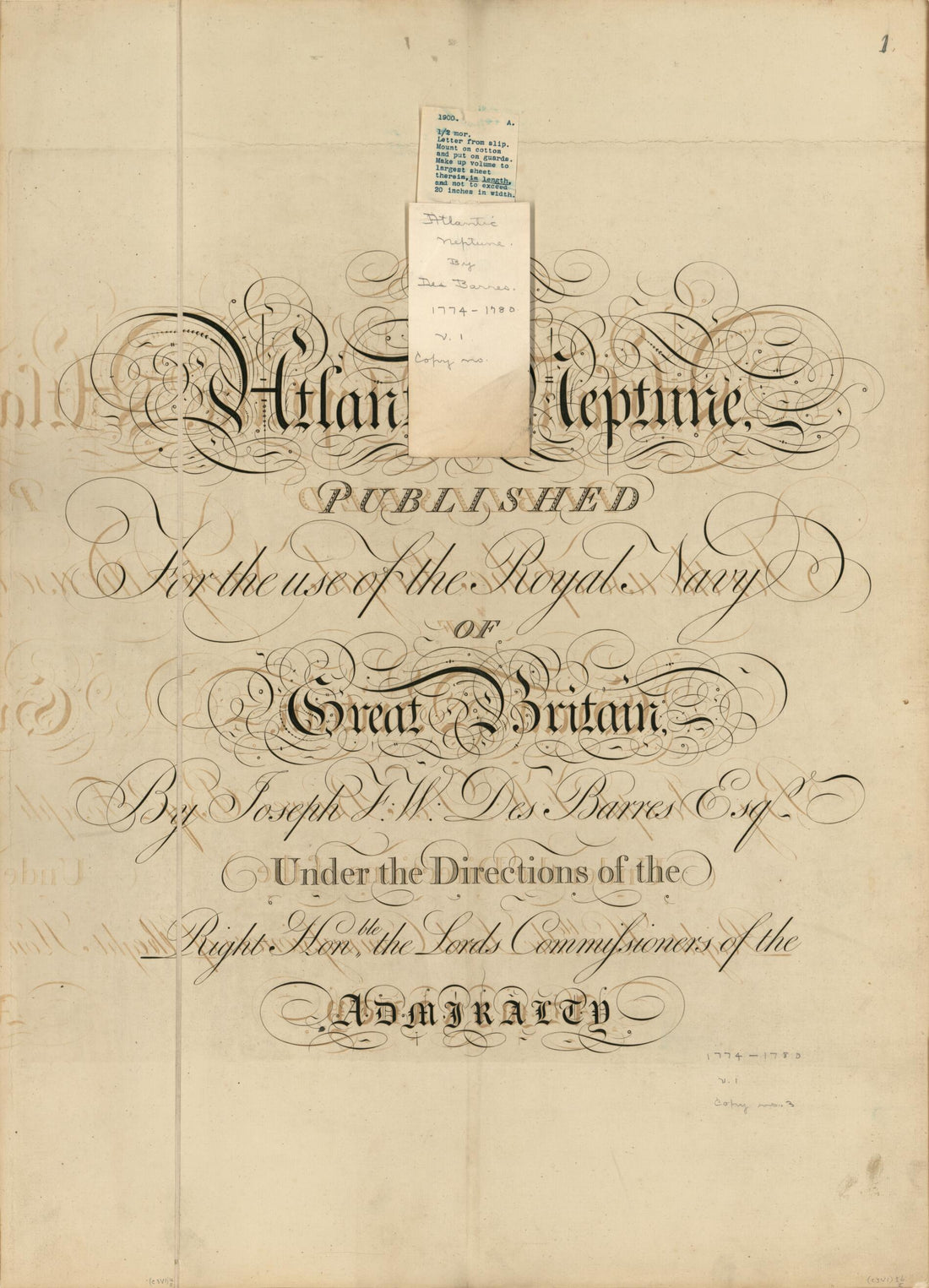 The Atlantic Neptune 1800
- Regular price
-
From
$32.95 - Regular price
-
$51.99 - Sale price
-
From
$32.95
-
Map Outlining the Maritime Coasts of Arabia Felix, the Meccan Shores, and Also the Red Sea, the Arabian Peninsula, Hormuz, Persia, from Sinda to the Indus River, Khambhat In India and Malabar, the Island of Ceylon, the Coromandel Coast, the Orixa Coas...
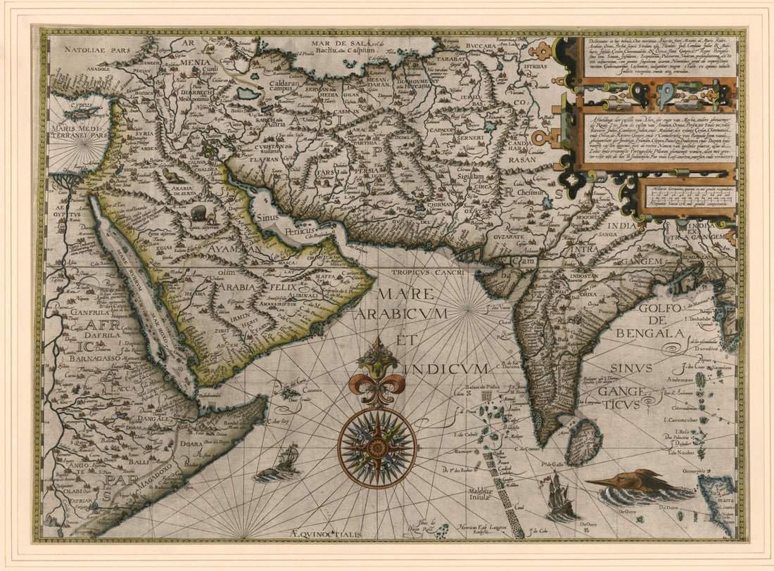 Map Outlining the Maritime Coasts of Arabia Felix, the Meccan Shores, and Also the Red Sea, the Arabian Peninsula, Hormuz, Persia, from Sinda to the Indus River, Khambhat In India and Malabar, the Island of Ceylon, the Coromandel Coast, the Orixa Coas...
- Regular price
-
From
$32.95 - Regular price
-
$51.99 - Sale price
-
From
$32.95
-
Map of the Persian Gulf. (Carte Du Golphe Persique) 1763
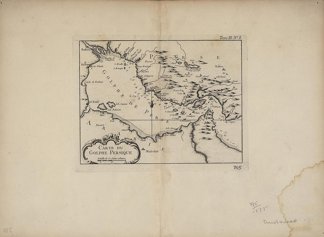 Map of the Persian Gulf. (Carte Du Golphe Persique) 1763
- Regular price
-
From
$32.95 - Regular price
-
$51.99 - Sale price
-
From
$32.95
-
Carte Réduite De L'isle De Saint Domingue Et De Ses Débouquements Pour Servir Aux Vaisseaux Du Roy. Dréssée Au Dépost Des Cartes Plans Et Journaux De La Marine. Par Ordre De M. Rouillé Chr. Comte De Jouy, &ca. Secretaire D'État Ayant Le Départ...
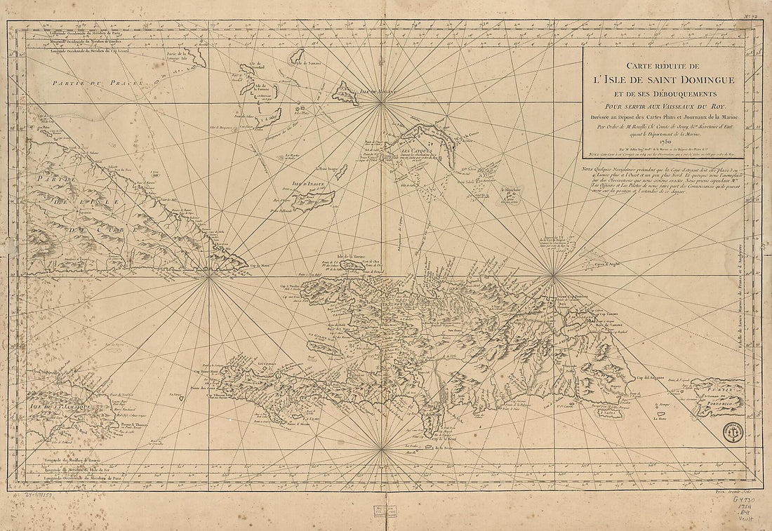 Carte Réduite De L'isle De Saint Domingue Et De Ses Débouquements Pour Servir Aux Vaisseaux Du Roy. Dréssée Au Dépost Des Cartes Plans Et Journaux De La Marine. Par Ordre De M. Rouillé Chr. Comte De Jouy, &ca. Secretaire D'État Ayant Le Départ...
- Regular price
-
From
$41.95 - Regular price
-
$66.99 - Sale price
-
From
$41.95
-
A Topographical Chart of the Bay of Narraganset In the Province of New England, With All the Isles Contained Therein, Among Which Rhode Island and Connonicut Have Been Particularly Surveyed, Shewing the True Position & Bearings of the Banks, Shoals, R...
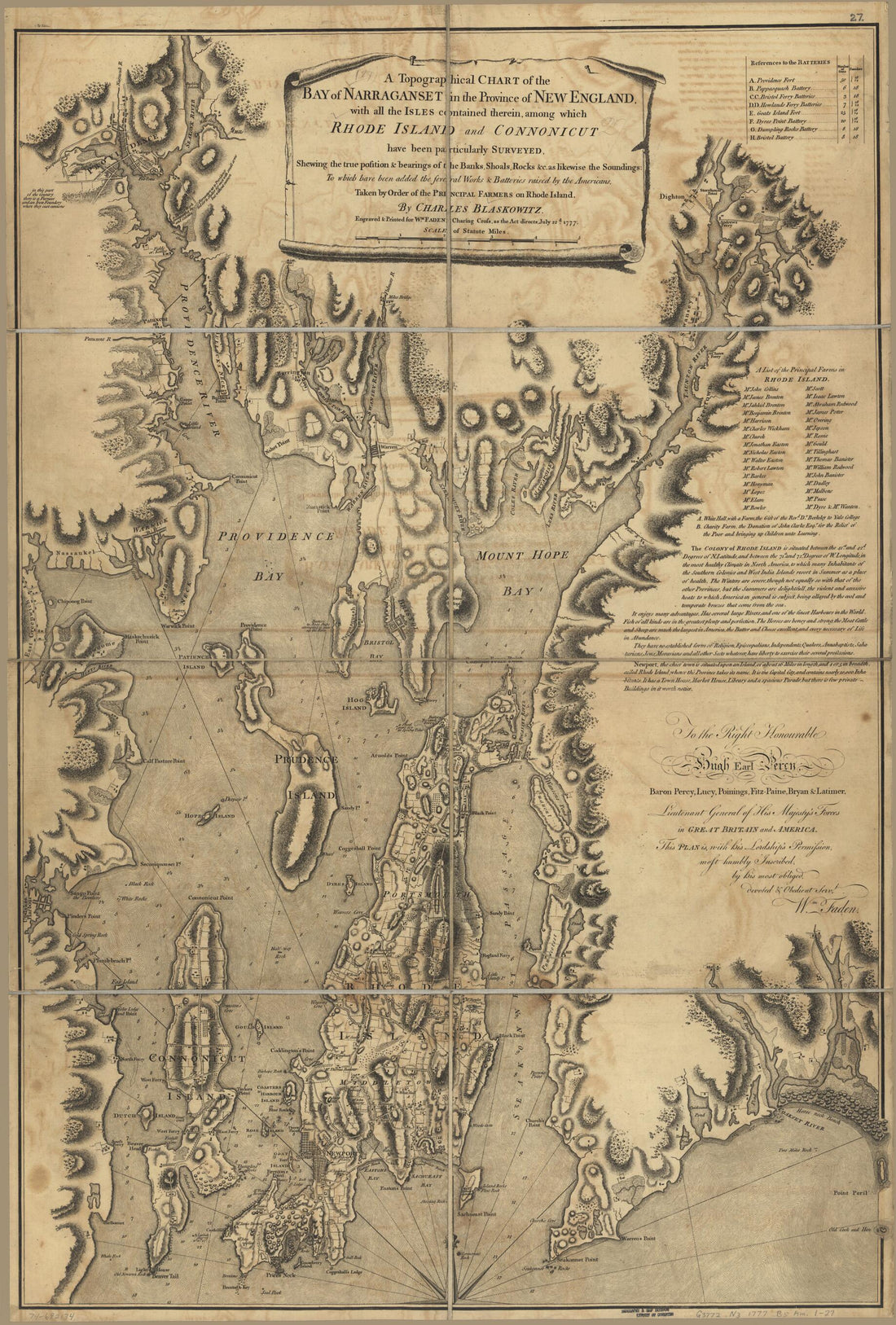 A Topographical Chart of the Bay of Narraganset In the Province of New England, With All the Isles Contained Therein, Among Which Rhode Island and Connonicut Have Been Particularly Surveyed, Shewing the True Position & Bearings of the Banks, Shoals, R...
- Regular price
-
From
$41.95 - Regular price
-
$66.99 - Sale price
-
From
$41.95
-
A Topographical Chart of the Bay of Narraganset In the Province of New England, With All the Isles Contained Therein, Among Which Rhode Island and Connonicut Have Been Particularly Surveyed, Shewing the True Position & Bearings of the Banks, Shoals, R...
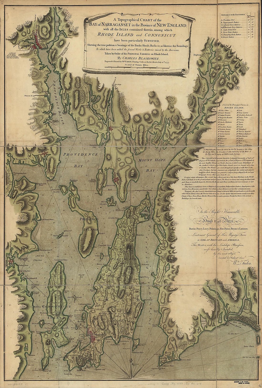 A Topographical Chart of the Bay of Narraganset In the Province of New England, With All the Isles Contained Therein, Among Which Rhode Island and Connonicut Have Been Particularly Surveyed, Shewing the True Position & Bearings of the Banks, Shoals, R...
- Regular price
-
From
$41.95 - Regular price
-
$66.99 - Sale price
-
From
$41.95


