457 products
-
A Hydrographical and Chorographical Chart of the Philippine Islands. (Carta Hydrographica Y Chorographica De Las Yslas Filipinas Dedicada Al Rey Nuestro Señor Por El Mariscal D. Campo D. Fernando Valdes Tamon Cavallo Del Orden De Santiago De Govor. Y...
 A Hydrographical and Chorographical Chart of the Philippine Islands. (Carta Hydrographica Y Chorographica De Las Yslas Filipinas Dedicada Al Rey Nuestro Señor Por El Mariscal D. Campo D. Fernando Valdes Tamon Cavallo Del Orden De Santiago De Govor. Y...
- Regular price
-
From
$34.95 - Regular price
-
$49.99 - Sale price
-
From
$34.95
-
The North American Atlas, Selected from the Most Authentic Maps, Charts, Plans, &c. Hitherto Published 1777
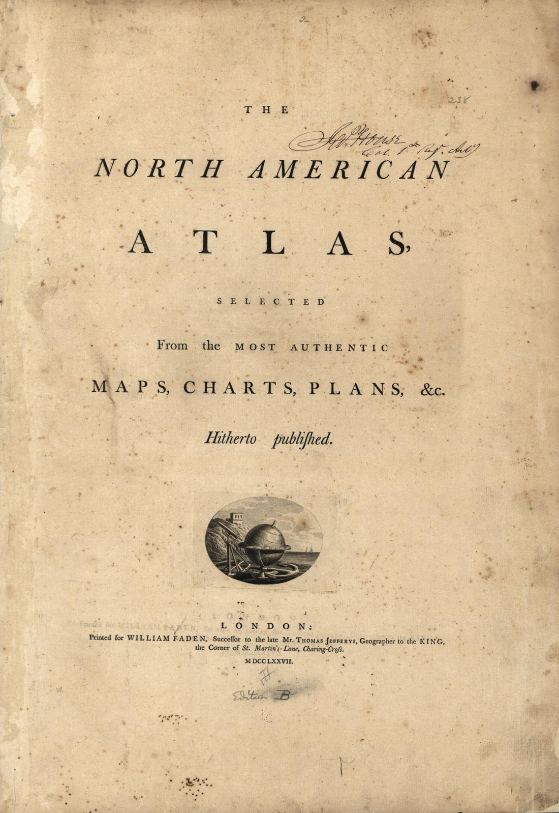 The North American Atlas, Selected from the Most Authentic Maps, Charts, Plans, &c. Hitherto Published 1777
- Regular price
-
From
$33.95 - Regular price
-
$51.95 - Sale price
-
From
$33.95
-
A Plan of the City & Fortifications of Louisburg 1758
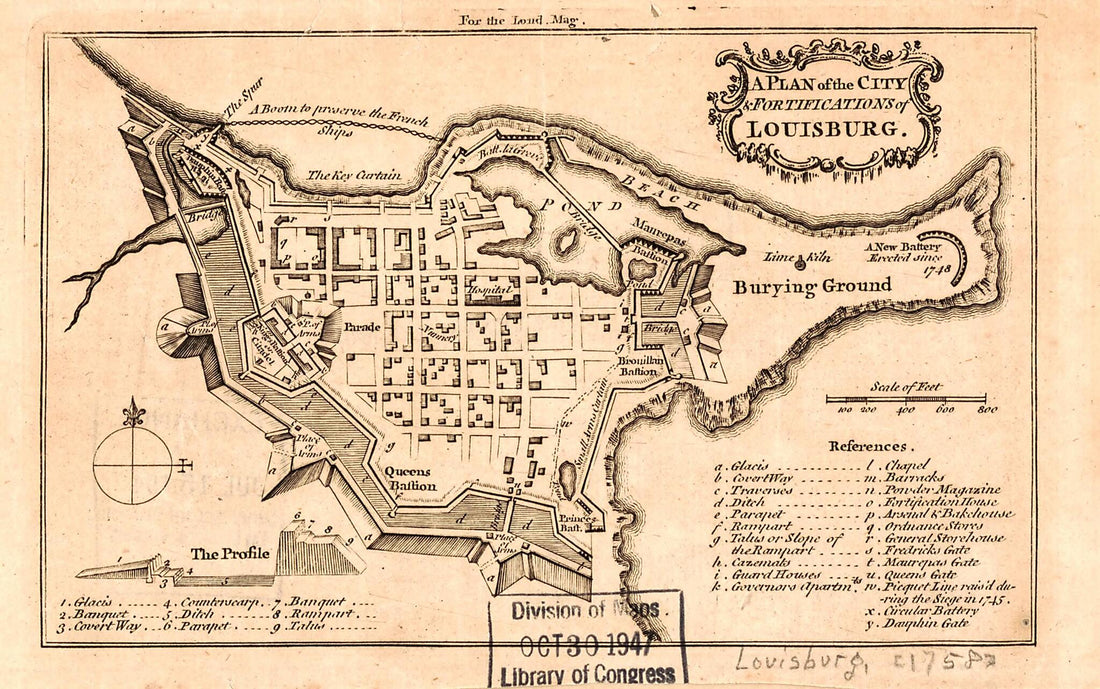 A Plan of the City & Fortifications of Louisburg 1758
- Regular price
-
From
$19.95 - Regular price
-
$29.95 - Sale price
-
From
$19.95
-
Hadd. (Carte Du Golfe Persique: Depuis Bassora Jusqu'au Cap Rasalgate) 1775
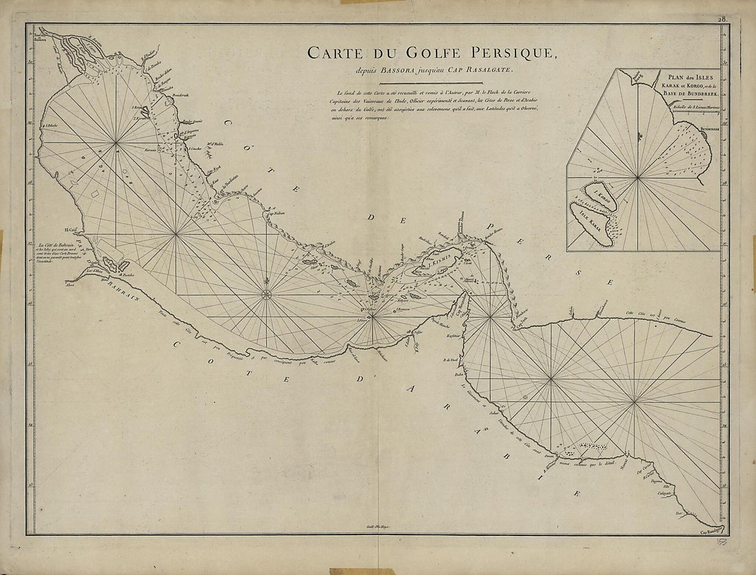 Hadd. (Carte Du Golfe Persique: Depuis Bassora Jusqu'au Cap Rasalgate) 1775
- Regular price
-
From
$32.95 - Regular price
-
$51.99 - Sale price
-
From
$32.95
-
North Atlantic Ocean: Northeastern Sheet portion 1922
 North Atlantic Ocean: Northeastern Sheet portion 1922
- Regular price
-
From
$41.95 - Regular price
-
$66.99 - Sale price
-
From
$41.95
-
Atlas : Being a Book of Maratime (sic) Charts Describing the Coasts, Capes, Headlands, Sands, Shoals, Rocks and Dangers, the Bays, Roads, Harbours, Rivers, and Ports In Most of the Known Parts of the World : With the True Course and Distances from One...
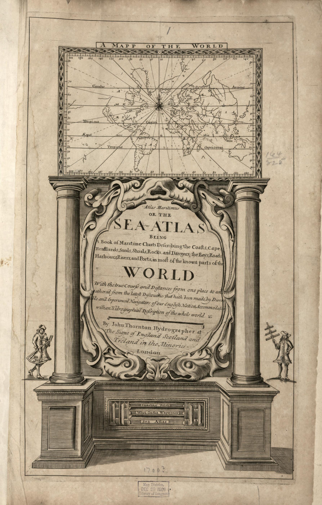 Atlas : Being a Book of Maratime (sic) Charts Describing the Coasts, Capes, Headlands, Sands, Shoals, Rocks and Dangers, the Bays, Roads, Harbours, Rivers, and Ports In Most of the Known Parts of the World : With the True Course and Distances from One...
- Regular price
-
From
$33.95 - Regular price
-
$53.99 - Sale price
-
From
$33.95
-
German Plan : North Sea Off the West Coast of Jutland in 1916
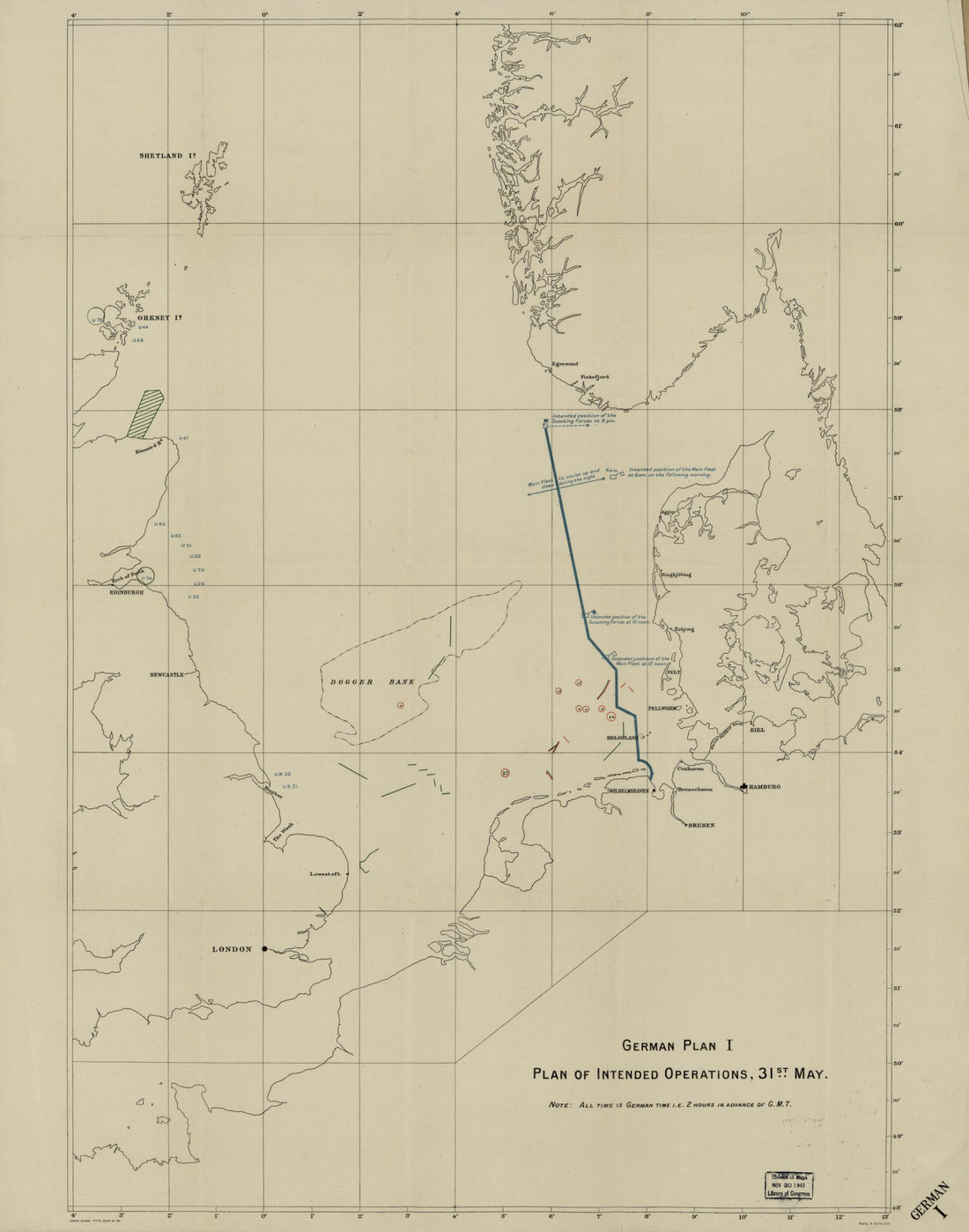 German Plan : North Sea Off the West Coast of Jutland in 1916
- Regular price
-
From
$34.95 - Regular price
-
$49.99 - Sale price
-
From
$34.95
-
Cartas Esfericas Y Planos De Los Puertos Situados Sobre Las Costas Septentrionales De Las Californias è Yslas Adyacentes, Descubiertos Por Los Españoles 1799
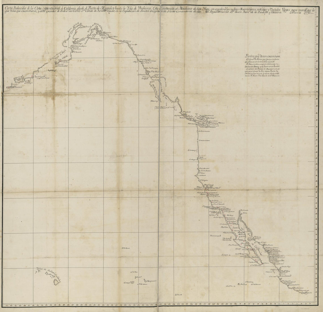 Cartas Esfericas Y Planos De Los Puertos Situados Sobre Las Costas Septentrionales De Las Californias è Yslas Adyacentes, Descubiertos Por Los Españoles 1799
- Regular price
-
From
$34.95 - Regular price
-
$49.99 - Sale price
-
From
$34.95
-
Atlas. (Loots Atlas) 1705
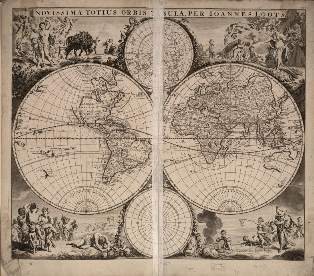 Atlas. (Loots Atlas) 1705
- Regular price
-
From
$34.95 - Regular price
-
$49.99 - Sale price
-
From
$34.95
-
Map of the Atlantic Ocean, 1613
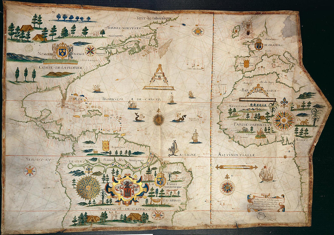 Map of the Atlantic Ocean, 1613
- Regular price
-
From
$41.95 - Regular price
-
$66.99 - Sale price
-
From
$41.95
-
Nautical Chart of the Mediterranean Basin. (Carta Nautica Del Bacino Del Mediterraneo) 1553
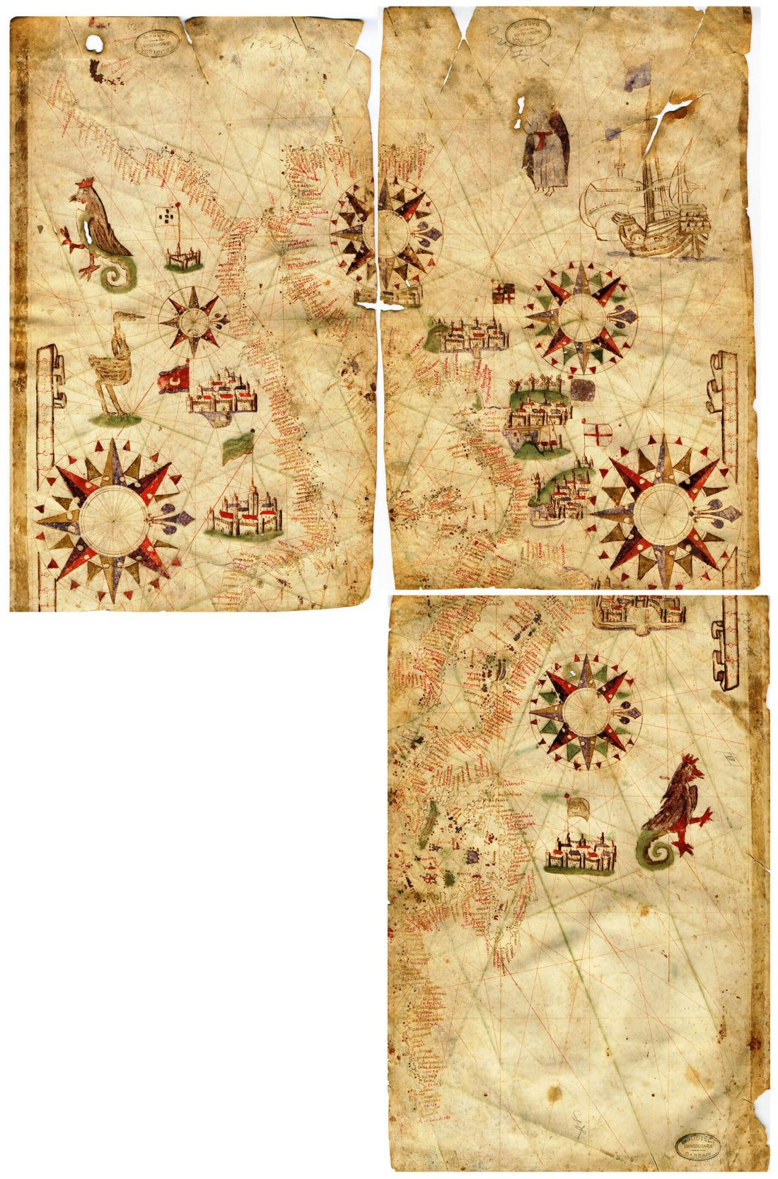 Nautical Chart of the Mediterranean Basin. (Carta Nautica Del Bacino Del Mediterraneo) 1553
- Regular price
-
From
$41.95 - Regular price
-
$66.99 - Sale price
-
From
$41.95
-
Plans of the Battle of Jutland, May 31st 1916
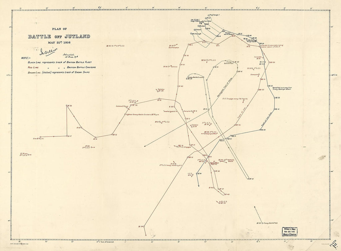 Plans of the Battle of Jutland, May 31st 1916
- Regular price
-
From
$32.95 - Regular price
-
$51.99 - Sale price
-
From
$32.95


